


Lasem Volcano
Updated: Jun 17, 2025 22:01 GMT -
Stratovolcano
Indonesia, -6.68°S / 111.52°E 
Summit height: 806 m / 2644 ft
Current status: (probably) extinct (0 out of 5)
[smaller] [larger]
Lasem volcano eruptions: None during the past 10,000 years
Less than few million years ago (Pleistocene)
Latest nearby earthquakes
| Date and Time | Mag / Depth | Distance / Location | |||
|---|---|---|---|---|---|
Background
Lasem was active in middle upper Pleistocene (IAVCEI). Deposits have been dated to 1.6 - 1.1 Ma, and it appears to be the oldest and least potassic Quaternary volcano in the back-arc region of central Java (Leterrier et al., 1990). Lasem's products mostly consist of pyroclastic flow deposits, small lava flows, and dome extrusions. Composition is dominantly characterized by potassic calc-alkaline andesites, but there are also some basaltic andesites and dacites (Leterrier et al., 1990).---
Source: Smithsonian / GVP volcano information
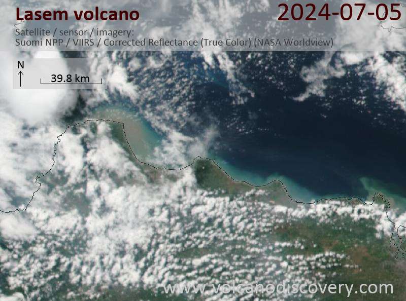
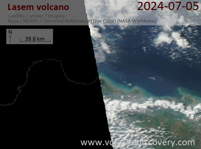
Latest satellite images
Lasem Volcano Maps
Below is a selection of maps showing the location and surroundings of the volcano at various resolutions based on aerial-imagery / terrain maps. Feel free to use them for non-commercial purposes on your blog or website as long as you credit them with a link back to this page (click to copy it).

Satellite/aerial-type map of Lasem volcano (world scale)

Terrain-type map of Lasem volcano (world scale)

Satellite/aerial-type map of Lasem volcano (region scale large)

Terrain-type map of Lasem volcano (region scale large)

Satellite/aerial-type map of Lasem volcano (region scale medium)

Terrain-type map of Lasem volcano (region scale medium)

Satellite/aerial-type map of Lasem volcano (region scale small)

Terrain-type map of Lasem volcano (region scale small)

Satellite/aerial-type map of Lasem volcano (local scale large)

Terrain-type map of Lasem volcano (local scale large)

Satellite/aerial-type map of Lasem volcano (local scale medium)

Terrain-type map of Lasem volcano (local scale medium)

Satellite/aerial-type map of Lasem volcano (local scale small)

Terrain-type map of Lasem volcano (local scale small)

Satellite/aerial-type map of Lasem volcano (scale of 10s of km)

Terrain-type map of Lasem volcano (scale of 10s of km)

Satellite/aerial-type map of Lasem volcano (scale of 20-40 km)

Terrain-type map of Lasem volcano (scale of 20-40 km)

Satellite/aerial-type map of Lasem volcano (scale of approx. 10-20 km)

Terrain-type map of Lasem volcano (scale of approx. 10-20 km)

Satellite/aerial-type map of Lasem volcano (scale of 5-10 km)

Satellite/aerial-type map of Lasem volcano (scale of few kilometers)


