


Latukan Volcano
Updated: Nov 7, 2025 07:26 GMT -
stratovolcano
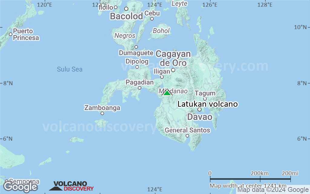
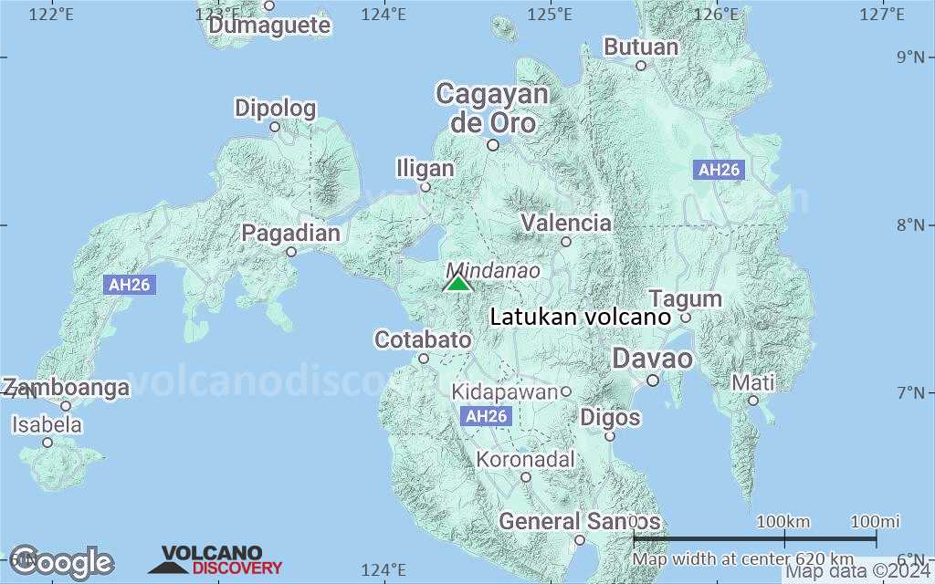
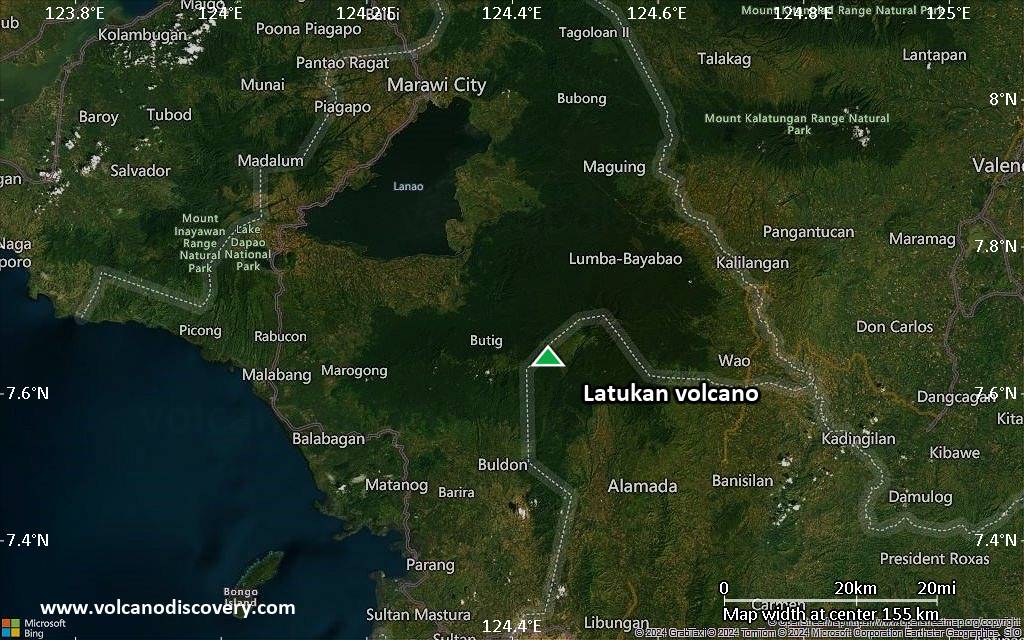
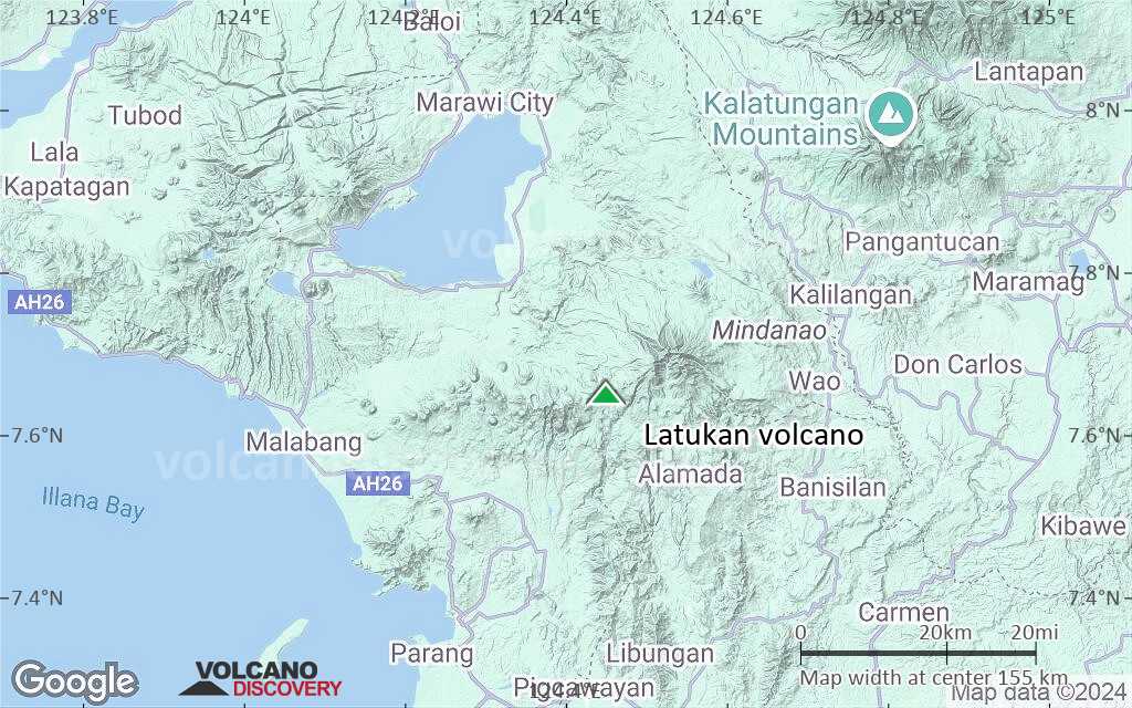
Mindanao (Philippines), 7.65°N / 124.45°E 
Summit height: 2338 m / 7,671 ft
Current status: normal or dormant (1 out of 5)
Latukan is a poorly known volcano SE of Lake Lanao, in NW Mindanao Island (Philippines). The probably still active volcano lies in the center of a chain of young E-W trending stratovolcanoes, between the active Ragang and Makaturing volcanoes. The age of Latukan's last activity is unknown.
[smaller] [larger]
Latukan volcano eruptions: unknown
Latest nearby earthquakes
| Date and Time | Mag / Depth | Distance / Location | |||
|---|---|---|---|---|---|
| Nov 3, 02:46 pm (Manila) | 2.2 6 km | 10.5 km (6.5 mi) to the E | Info | ||
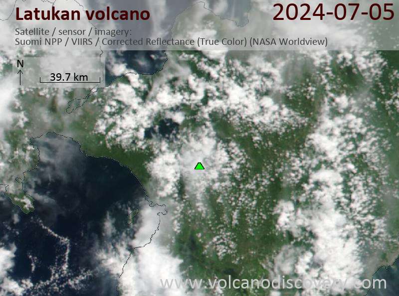
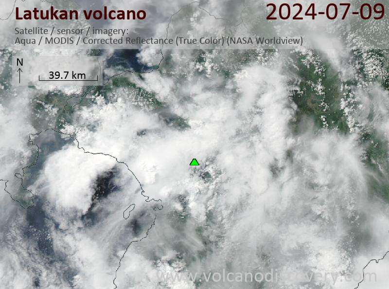
Latest satellite images
Latukan Volcano Maps
Below is a selection of maps showing the location and surroundings of the volcano at various resolutions based on aerial-imagery / terrain maps. Feel free to use them for non-commercial purposes on your blog or website as long as you credit them with a link back to this page (click to copy it).

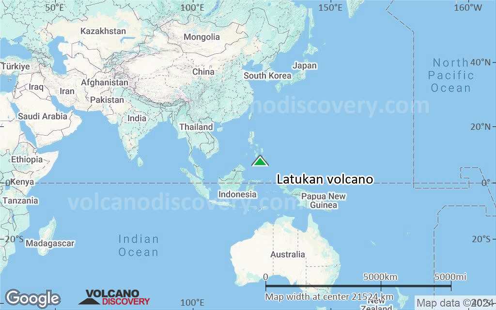
Satellite/aerial-type map of Latukan volcano (world scale)
Terrain-type map of Latukan volcano (world scale)

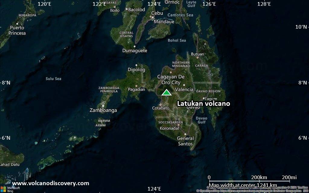
Satellite/aerial-type map of Latukan volcano (region scale large)

Terrain-type map of Latukan volcano (region scale large)

Satellite/aerial-type map of Latukan volcano (region scale medium)

Terrain-type map of Latukan volcano (region scale medium)
Satellite/aerial-type map of Latukan volcano (region scale small)
Terrain-type map of Latukan volcano (region scale small)

Satellite/aerial-type map of Latukan volcano (local scale large)
Terrain-type map of Latukan volcano (local scale large)

Satellite/aerial-type map of Latukan volcano (local scale medium)

Terrain-type map of Latukan volcano (local scale medium)
Satellite/aerial-type map of Latukan volcano (local scale small)
Terrain-type map of Latukan volcano (local scale small)

Satellite/aerial-type map of Latukan volcano (scale of 10s of km)

Terrain-type map of Latukan volcano (scale of 10s of km)

Satellite/aerial-type map of Latukan volcano (scale of 20-40 km)

Terrain-type map of Latukan volcano (scale of 20-40 km)

Satellite/aerial-type map of Latukan volcano (scale of approx. 10-20 km)

Terrain-type map of Latukan volcano (scale of approx. 10-20 km)
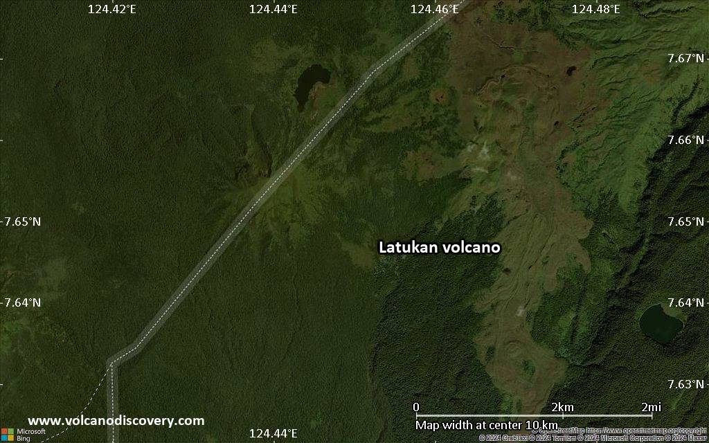
Satellite/aerial-type map of Latukan volcano (scale of 5-10 km)
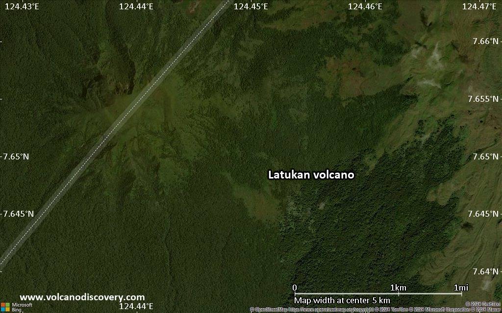
Satellite/aerial-type map of Latukan volcano (scale of few kilometers)


