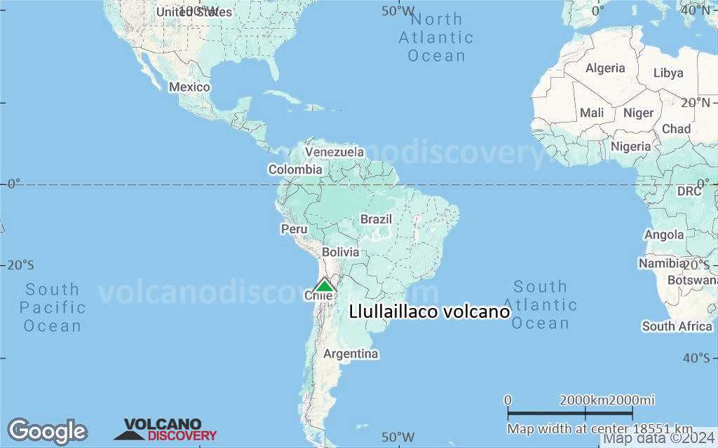
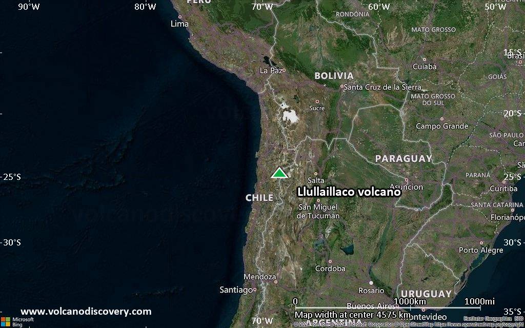
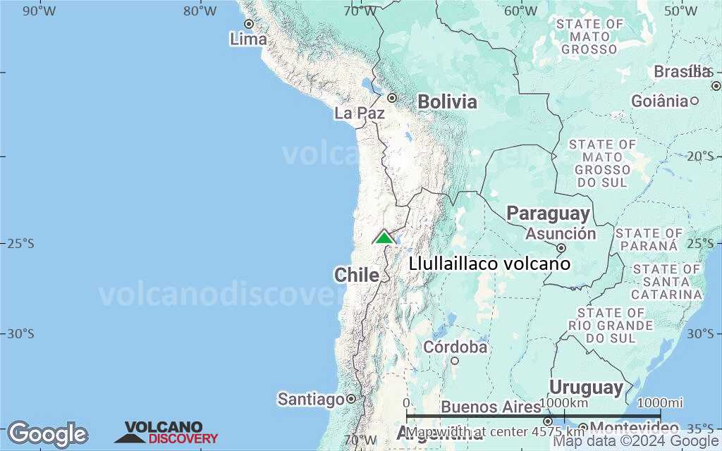
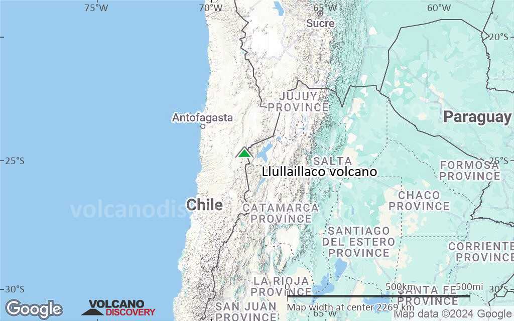
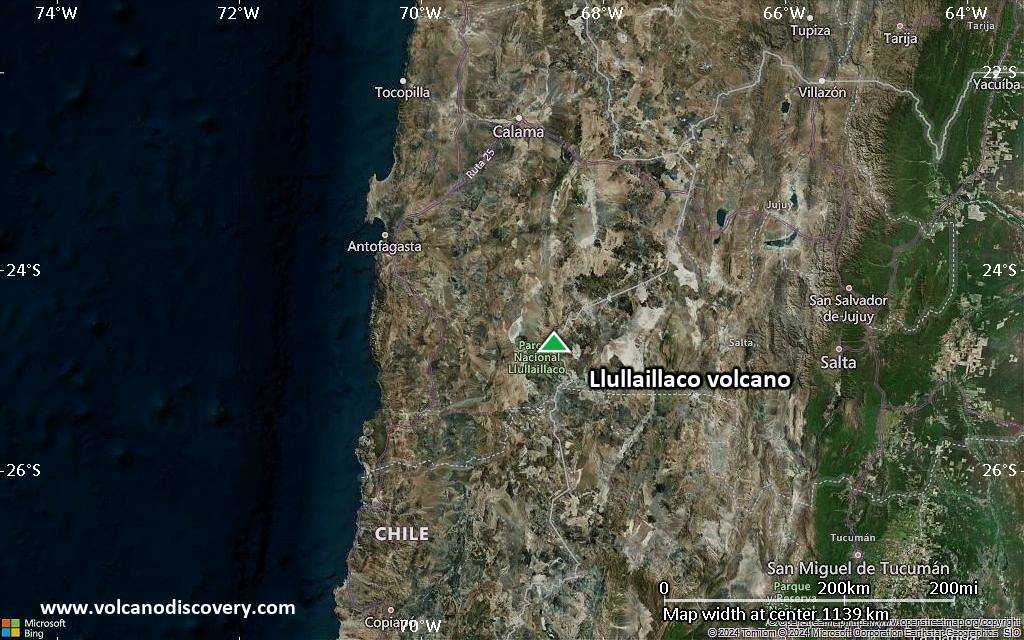
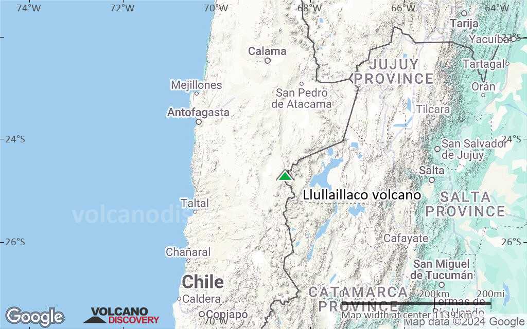
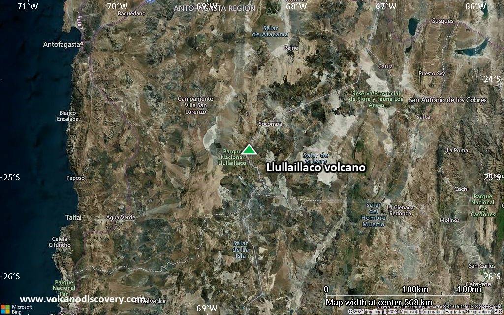
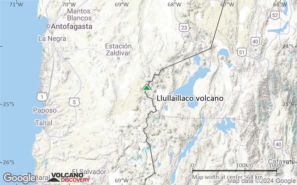
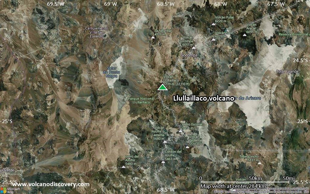
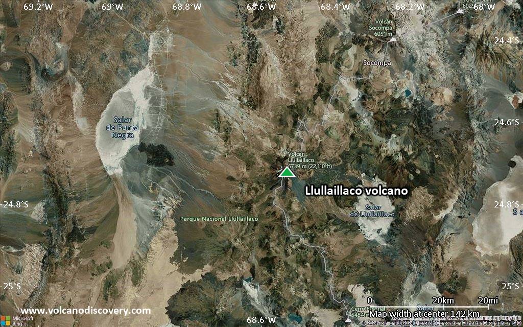
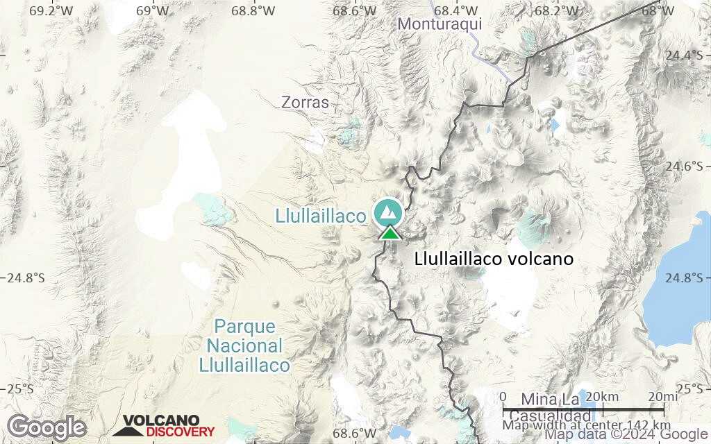
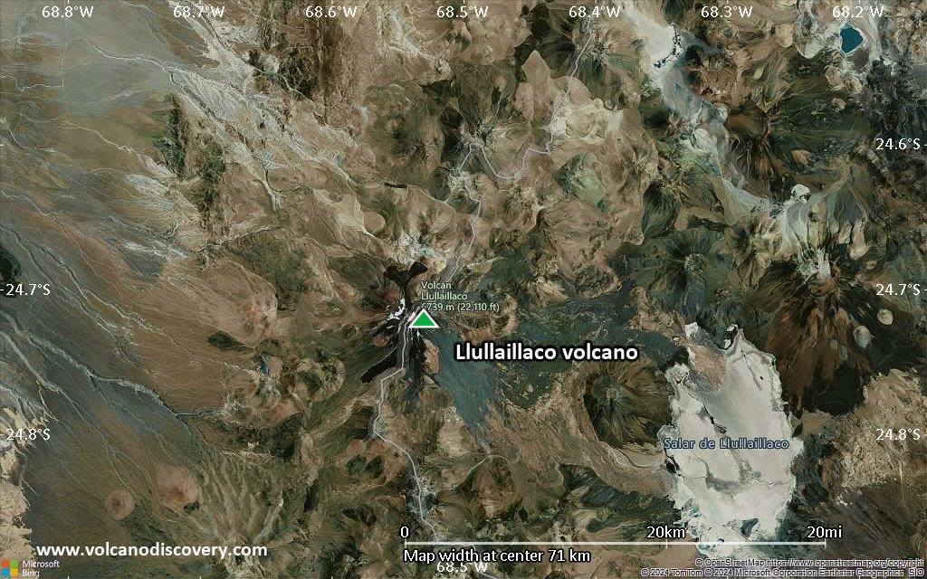
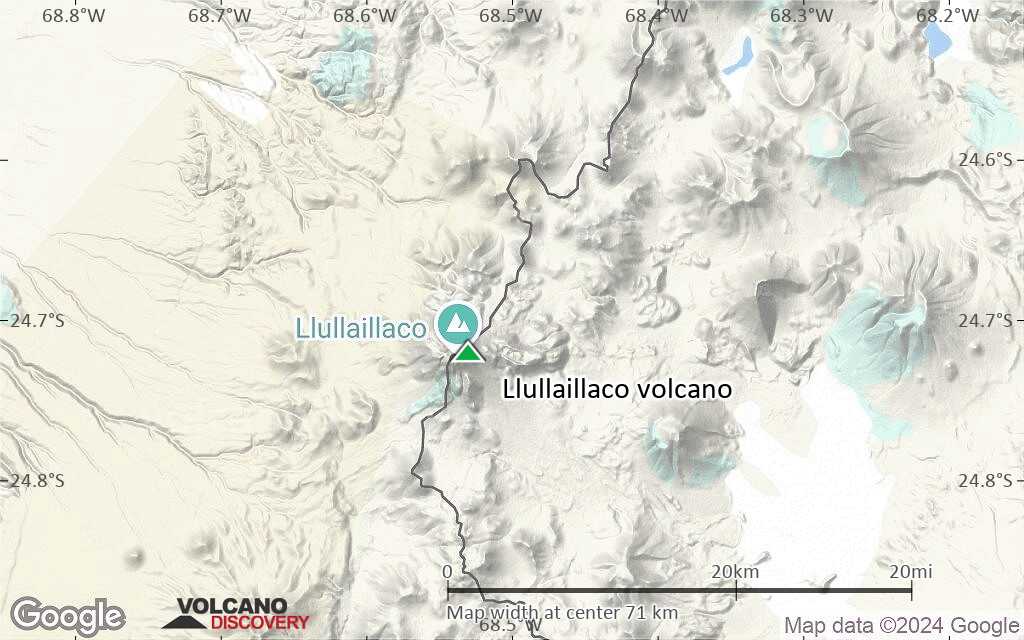
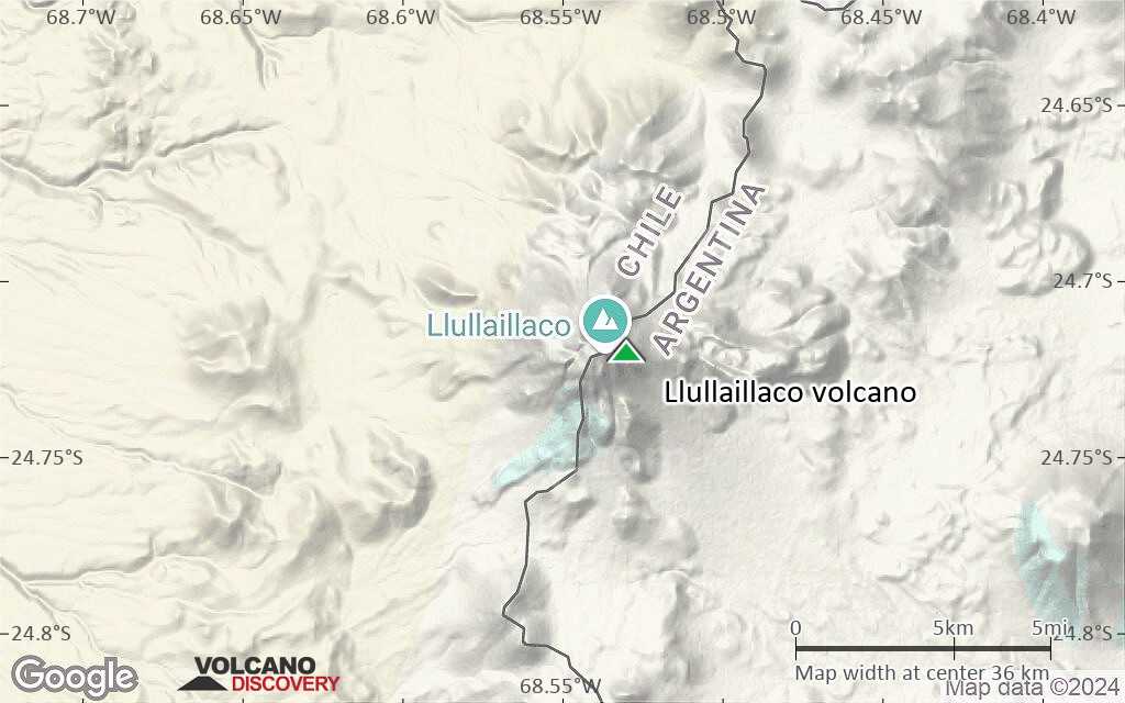
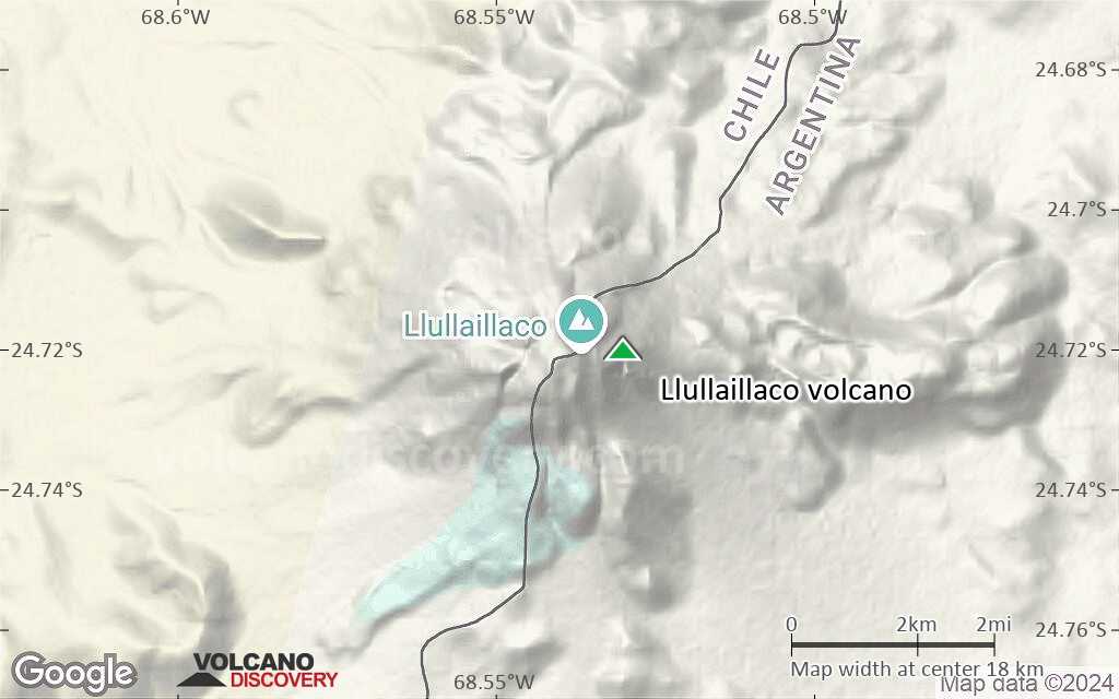
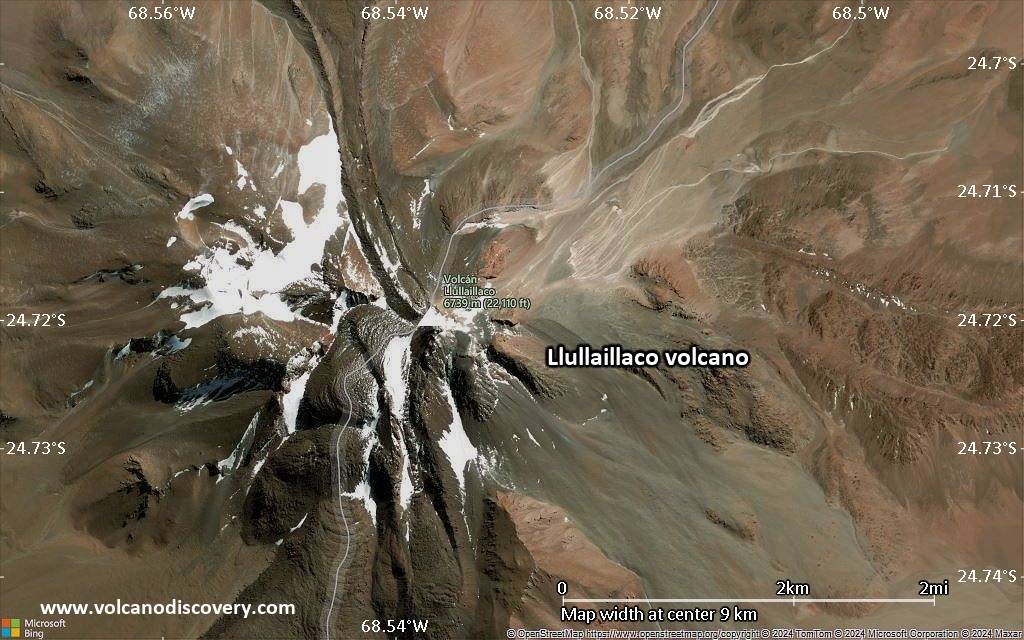
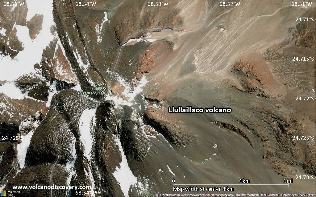
Llullaillaco Volcano
Llullaillaco is the world's highest historically active volcano. It is on the border between Chile and Argentina and belongs to the Puna de Atacama, a region of very high volcanic peaks on a high plateau within the Atacama Desert, one of the driest places in the world.
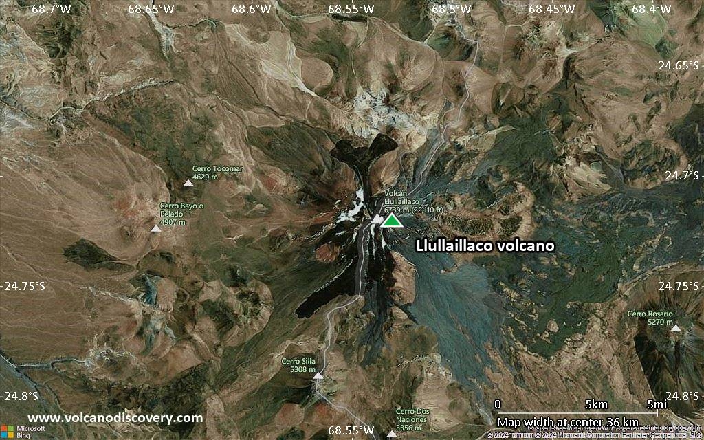
The volcano consists of a young cone on top of an older Pleistocene edifice. The modern cone contains several lava domes and flows. The two most prominent lava flows are on the northern and southern flanks and have distinct flow features with levees and ridges.
It known that the Inca climbed the mountain and some of the best-preserved mummies have been found near its summit.
Llullaillaco volcano eruptions: 1877, 1868, 1854
Latest nearby earthquakes
| Date and Time | Mag / Depth | Distance / Location | |||
|---|---|---|---|---|---|
Background
Llullaillaco volcano was formed in 2 main stages.The old volcano (Llullaillaco I) was built as a broad cone of thick dacitic lava flows. The upper part of this volcano collapsed about 150,000 years ago, producing a major debris-avalanche which extends eastward into Argentina. The avalanche diverged around the north and south sides of the older Cerro Rosado stratovolcano 17 km east of Llullaillaco and the two lobes stopped at 25 and 23 km distance, respectively. The deposit covers 165 km2 and is still very well preserved, thanks to the extremely arid climate, where weathering and erosion are almost absent.
The second stage (Llullaillaco II, the present-day volcano) began ca. 10,000 years ago and built the present-day cone on top of the older volcano. It, too, consists mainly of dacite domes and lava flows.
Historic activity consisted of small explosive eruptions and a possible small lava flow in the 19th century.
Llullaillaco mummies
In 1983–85 American archaeologist Dr Johan Reinhard discovered Inca remains on the summit and the slopes of Llullaillaco. In 1999, 3 500-year-old frozen mummies were found at an altitude of 6,739 m. The mummies were buried with more than 100 objects, including textiles, gold and silver statues, pottery. The mummy of a girl feathered a rich ceremonial headdress.
The mummies are extraordinarily well preserved because of the extremely cold, hypoxic, and arid environment of their mountain tomb. The frozen bodies of Llullaillaco are among the best-preserved mummies ever found.
(Source: Wikipedia)
Significant volcanic eruptions: Llullaillaco volcano
| Date | Note | VEI | Deaths | Damage | |
|---|---|---|---|---|---|
Historical obs./docs. | 2 | ||||
Historical obs./docs. | ? | ||||
Historical obs./docs. | 2 | ||||
Llullaillaco Volcano FAQ
+When was the last eruption of Llullaillaco volcano?
The last confirmed eruption of Llullaillaco occurred in 1877.
+How often does Llullaillaco volcano erupt?
Since 1854, Llullaillaco volcano has had at least 3 historically documented eruptions. This means that it erupts on average every 57 years.
+When was the largest eruption of Llullaillaco volcano?
The largest eruption of Llullaillaco volcano in historic times occurred in 1877. It ranks as a strombolian to vulcanian eruption with a magnitude 2 on the VEI (Volcanic Explosivity Index) scale.
Latest satellite images


Llullaillaco Volcano Maps