Lolo Volcano
Updated: Jun 16, 2025 03:42 GMT -
stratovolcano
New Britain Island (Papua New Guinea), -5.47°S / 150.51°E 
Summit height: 805 m / 2,641 ft
Current status: normal or dormant (1 out of 5)
Lolo (also known as Auwers) volcano is a small andesitic stratovolcano 13 km north of Pago volcano in New Britain.
It has a nearly symmetrical shape with steep 35 deg upper slopes above 300 m elevation, and lower more gently inclined 20 deg slopes at its base between 150 and 250 m elevation. The diameter at its base if about 4 km.
Lolo has a shallow well preserved summit crater 250 m long, 175 m wide, and 60 m deep. Its slopes are cut by a regular pattern of radial erosion gullies up to 30 m deep and parts of the upper slopes are unvegetated.
Well-preserved lava flows from Lolo can be seen from the air, but their age is unknown.
[smaller] [larger]
Lolo volcano eruptions: unknown
Latest nearby earthquakes
| Date and Time | Mag / Depth | Distance / Location | |||
|---|---|---|---|---|---|
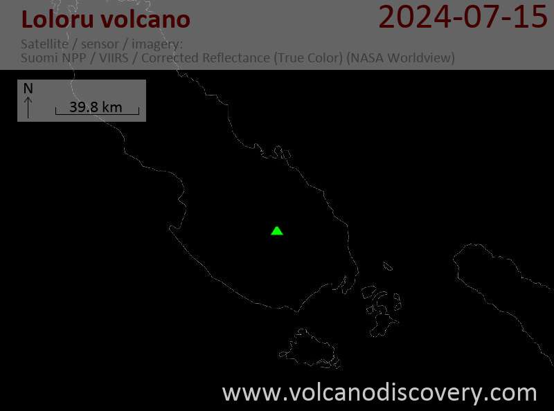
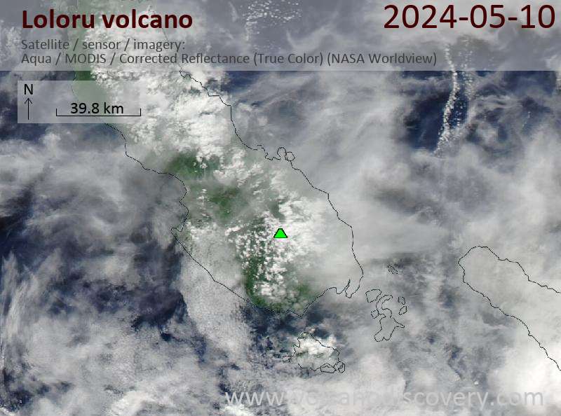
Latest satellite images
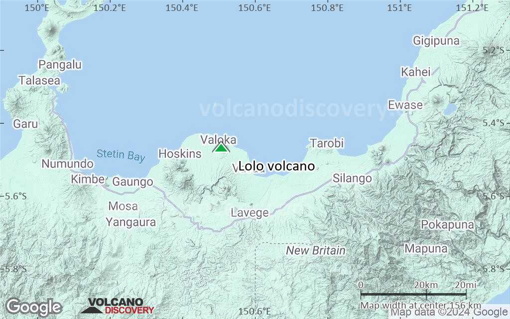
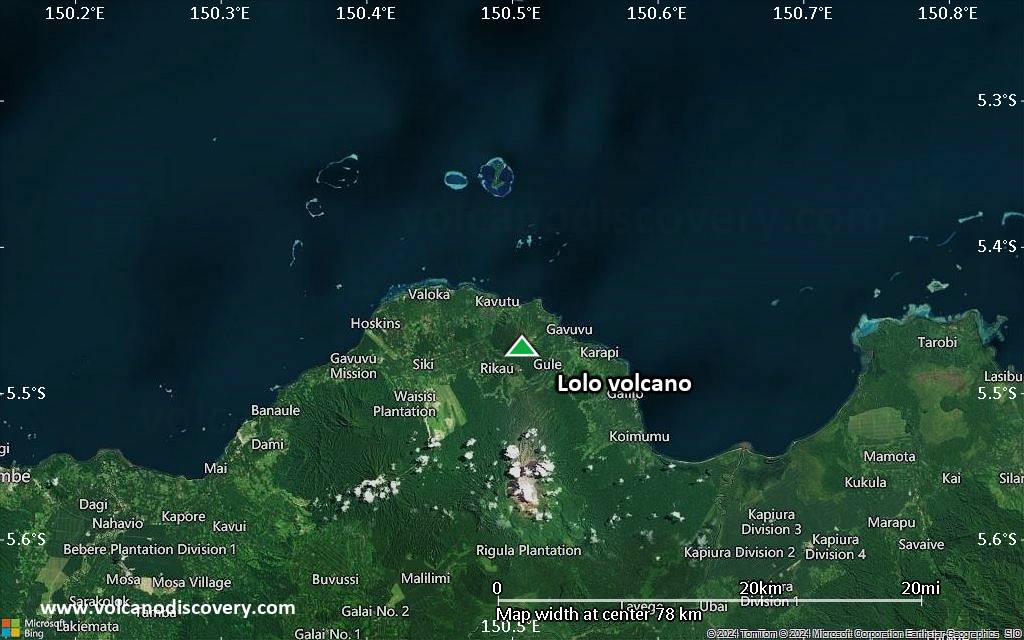
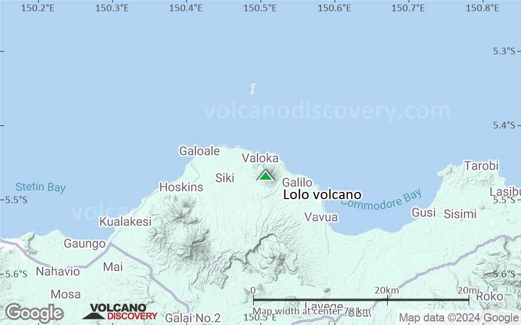
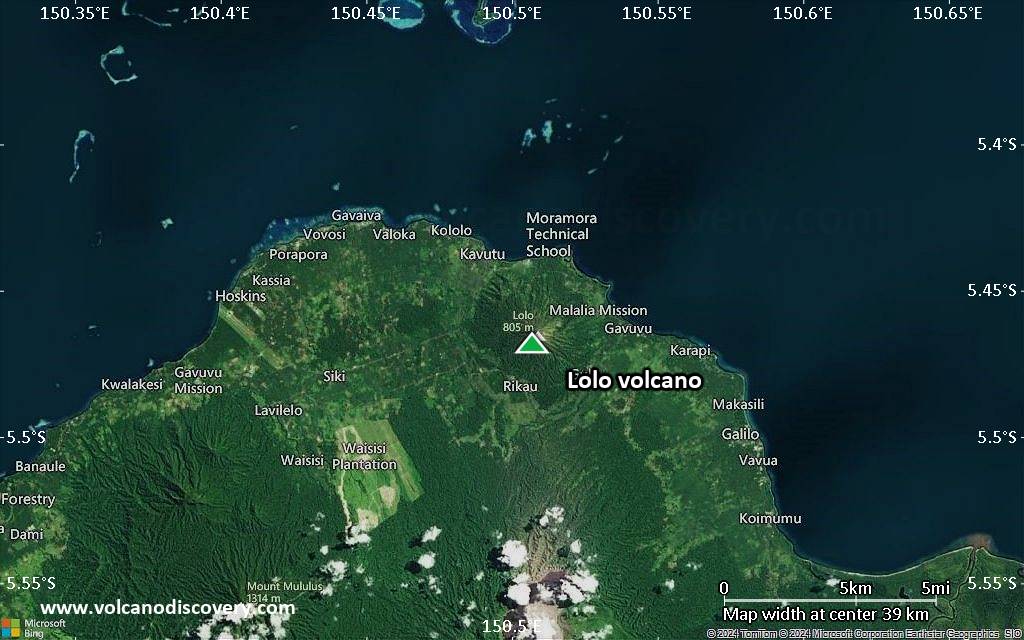
Lolo Volcano Maps
Below is a selection of maps showing the location and surroundings of the volcano at various resolutions based on aerial-imagery / terrain maps. Feel free to use them for non-commercial purposes on your blog or website as long as you credit them with a link back to this page (click to copy it).
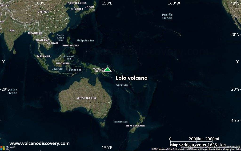
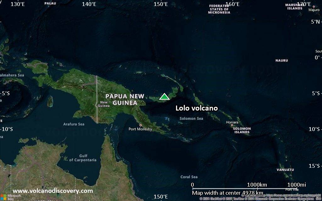
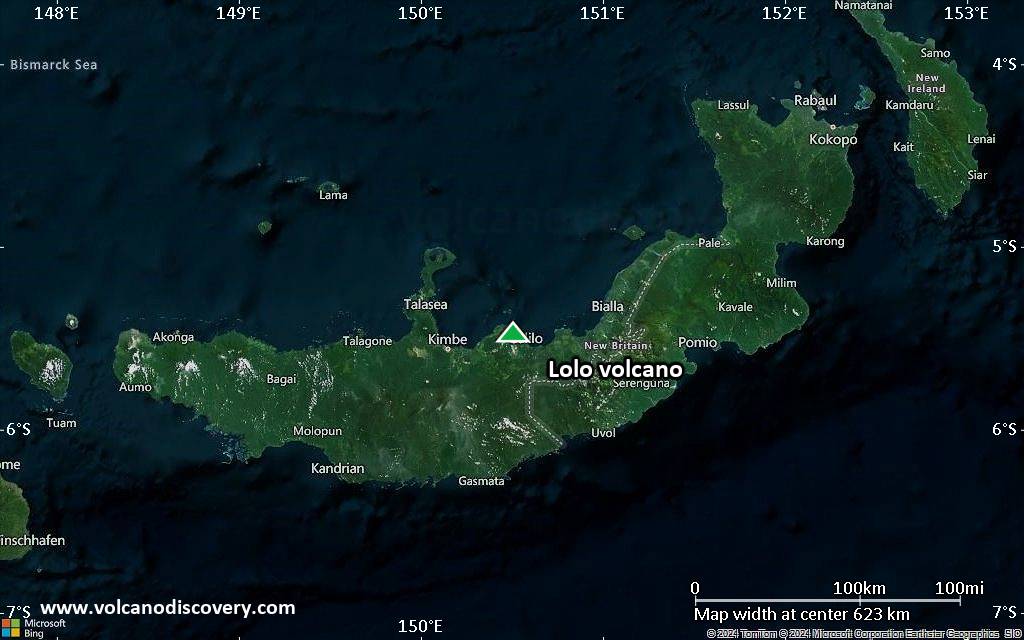
Satellite/aerial-type map of Lolo volcano (world scale)
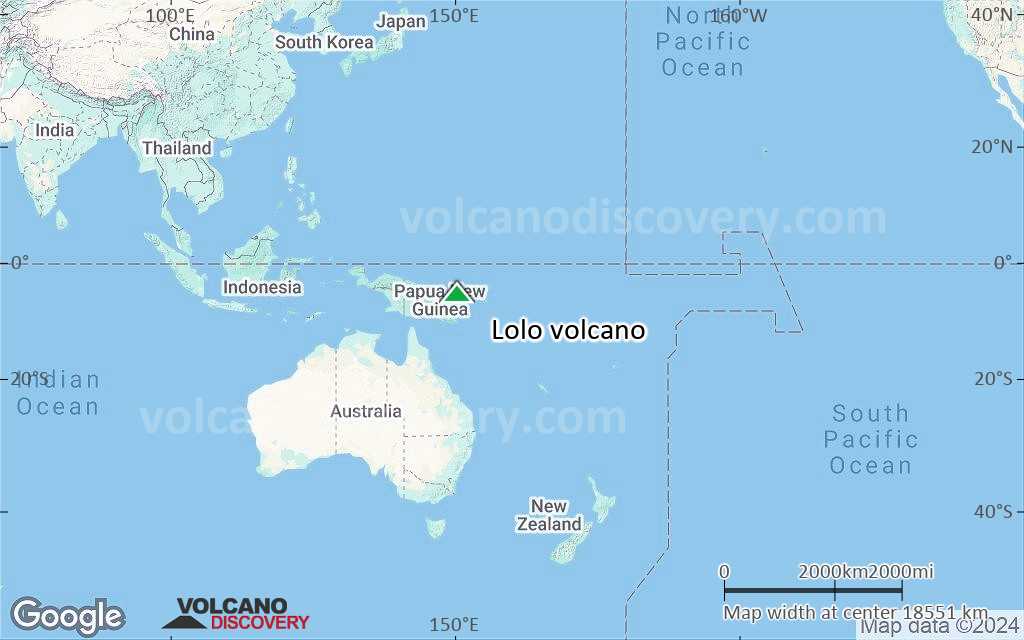
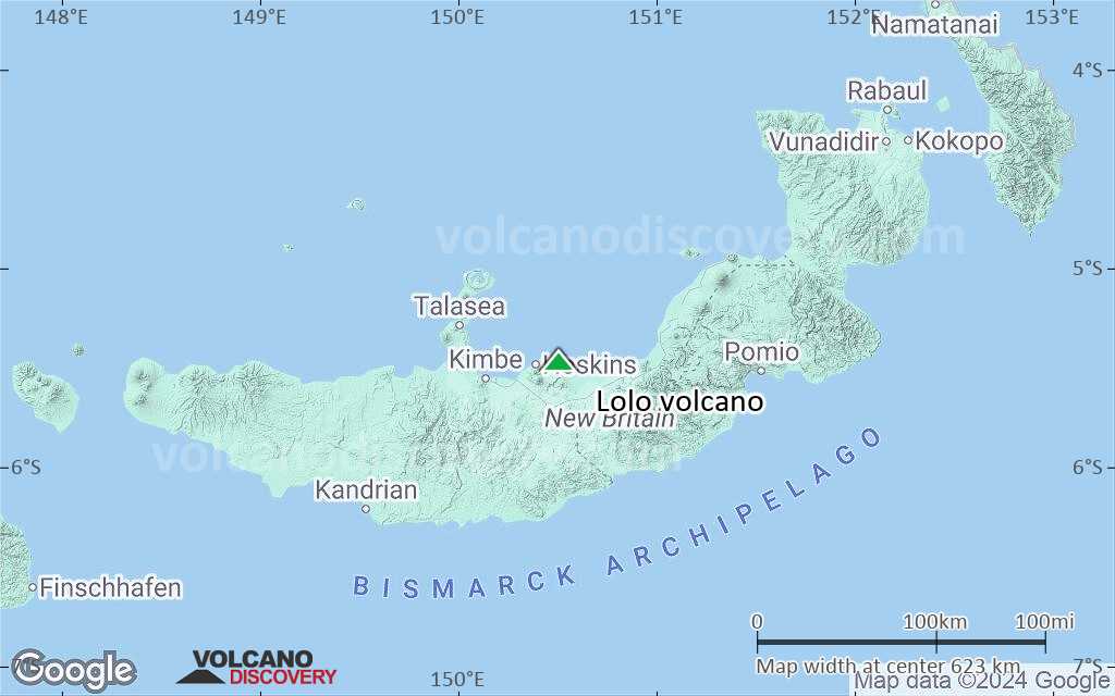
Terrain-type map of Lolo volcano (world scale)
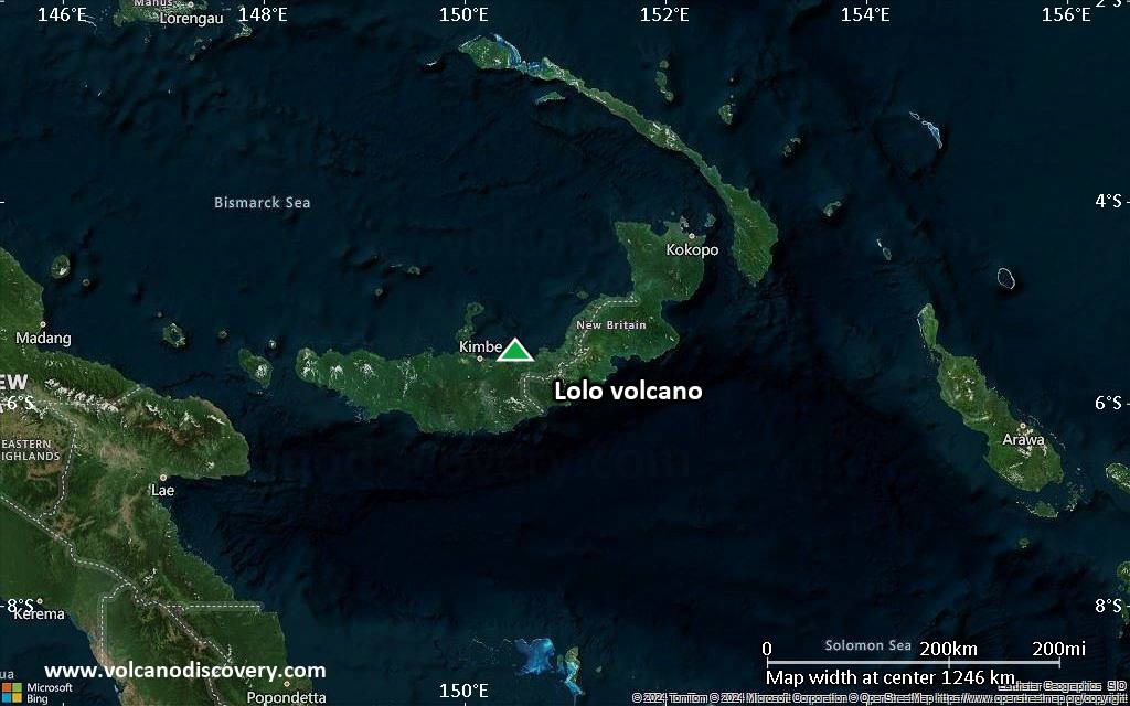
Satellite/aerial-type map of Lolo volcano (region scale large)

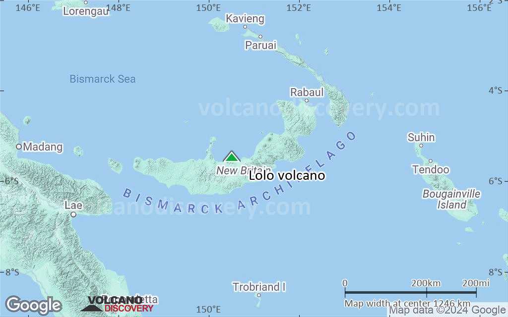
Terrain-type map of Lolo volcano (region scale large)

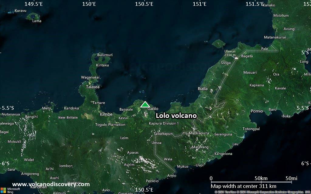
Satellite/aerial-type map of Lolo volcano (region scale medium)

Terrain-type map of Lolo volcano (region scale medium)
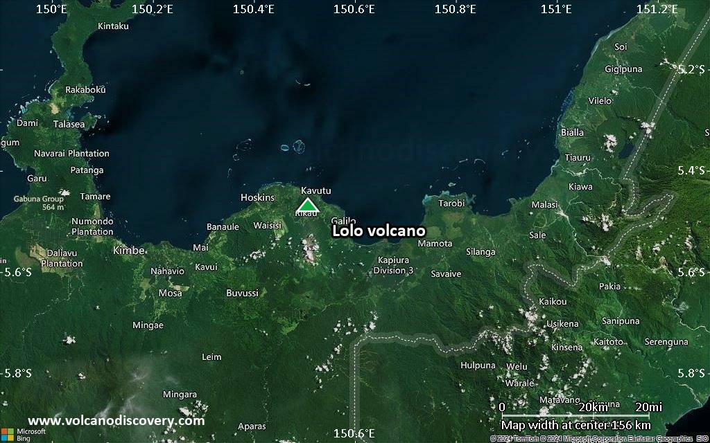
Satellite/aerial-type map of Lolo volcano (region scale small)
Terrain-type map of Lolo volcano (region scale small)
Satellite/aerial-type map of Lolo volcano (local scale large)
Terrain-type map of Lolo volcano (local scale large)
Satellite/aerial-type map of Lolo volcano (local scale medium)

Terrain-type map of Lolo volcano (local scale medium)
Satellite/aerial-type map of Lolo volcano (local scale small)
Terrain-type map of Lolo volcano (local scale small)
Satellite/aerial-type map of Lolo volcano (scale of 10s of km)
Terrain-type map of Lolo volcano (scale of 10s of km)
Satellite/aerial-type map of Lolo volcano (scale of 20-40 km)
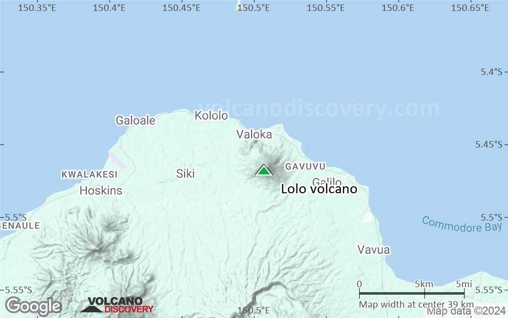
Terrain-type map of Lolo volcano (scale of 20-40 km)
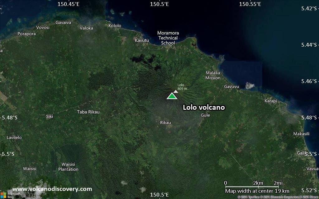
Satellite/aerial-type map of Lolo volcano (scale of approx. 10-20 km)

Terrain-type map of Lolo volcano (scale of approx. 10-20 km)
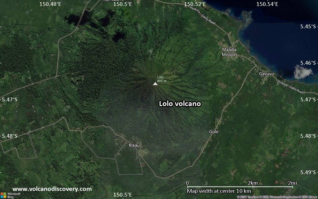
Satellite/aerial-type map of Lolo volcano (scale of 5-10 km)

Satellite/aerial-type map of Lolo volcano (scale of few kilometers)