| RSS | EN | DE | EL | ES | FR | IT | RU

Mangakino Volcano

Updated: Jul 15, 2025 13:58 GMT -
Caldera
New Zealand, -38.35°S / 175.75°E
Summit height: 1165 m / 3822 ft
Current status: (probably) extinct (0 out of 5)

[smaller] [larger]
Typical eruption style: unspecified
Mangakino volcano eruptions: None during the past 10,000 years
Less than 2.58 million years ago (Pleistocene)

Latest nearby earthquakes

Date and TimeMag / DepthDistance / Location
Jul 15, 08:16 pm (GMT +12)
2.2

136 km
15 km (9.1 mi) to the E New Zealand Info
Jul 15, 02:49 pm (GMT +12)
2.8

66 km
12 km (7.2 mi) to the W New Zealand Info
Monday, July 14, 2025 GMT (2 quakes)
Jul 15, 09:49 am (GMT +12)
3.3

351 km
17 km (10.8 mi) to the N New Zealand  I FELT IT Info
Jul 14, 09:06 pm (GMT +12)
1.5

140 km
17 km (10.3 mi) to the SE New Zealand Info
Sunday, July 13, 2025 GMT (1 quake)
Jul 13, 01:53 pm (GMT +12)
2.4

172 km
21 km (13 mi) to the E New Zealand Info
Thursday, July 10, 2025 GMT (2 quakes)
Jul 11, 09:50 am (GMT +12)
3.4

143 km
23 km (14 mi) to the NE New Zealand  I FELT IT Info
Jul 10, 09:08 pm (GMT +12)
2.0

89 km
29 km (18 mi) to the SE New Zealand Info
Monday, July 7, 2025 GMT (1 quake)
Jul 7, 07:32 pm (GMT +12)
2.8

151 km
19 km (12 mi) to the SE New Zealand Info
Wednesday, July 2, 2025 GMT (2 quakes)
Jul 3, 11:23 am (GMT +12)
2.5

141 km
11 km (7 mi) to the NW New Zealand Info

Background

The Pleistocene Mangakino volcanic center has been the source of large-volume rhyolite ignimbrites erupted between 1.6 and 0.9 million years ago (Ma) (Wilson et al., 1984; Houghton et al., 1995). Two principal periods of activity occurred, from 1.6 to 1.53 Ma and 1.21 to 0.9 Ma (Wilson et al., 1995a). One of the largest ignimbrite eruptions of the Taupo volcanic zone took place at 1.21 Ma from Mangakino. The Titiraupenga and Pureora andesitic lava domes lie just to the south of the inferred caldera margin.
---
Source: Smithsonian / GVP volcano information

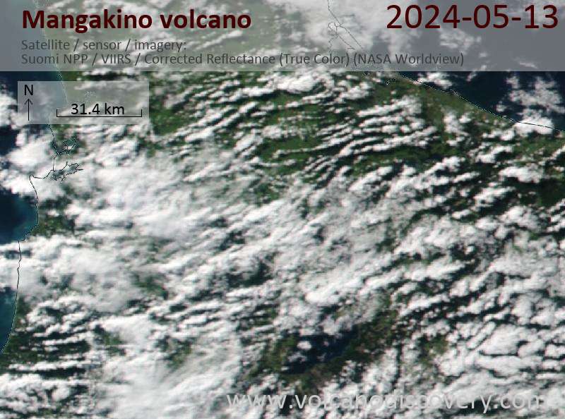
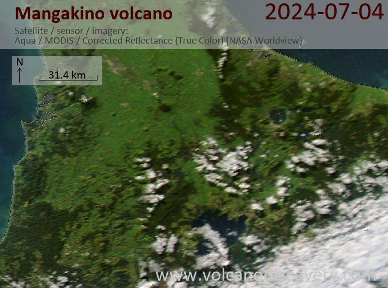
Latest satellite images

mangakino satellite image sat1mangakino satellite image sat2

Mangakino Volcano Maps

Below is a selection of maps showing the location and surroundings of the volcano at various resolutions based on aerial-imagery / terrain maps. Feel free to use them for non-commercial purposes on your blog or website as long as you credit them with a link back to this page (click to copy it).
Satellite/aerial-type map of Mangakino volcano (world scale)
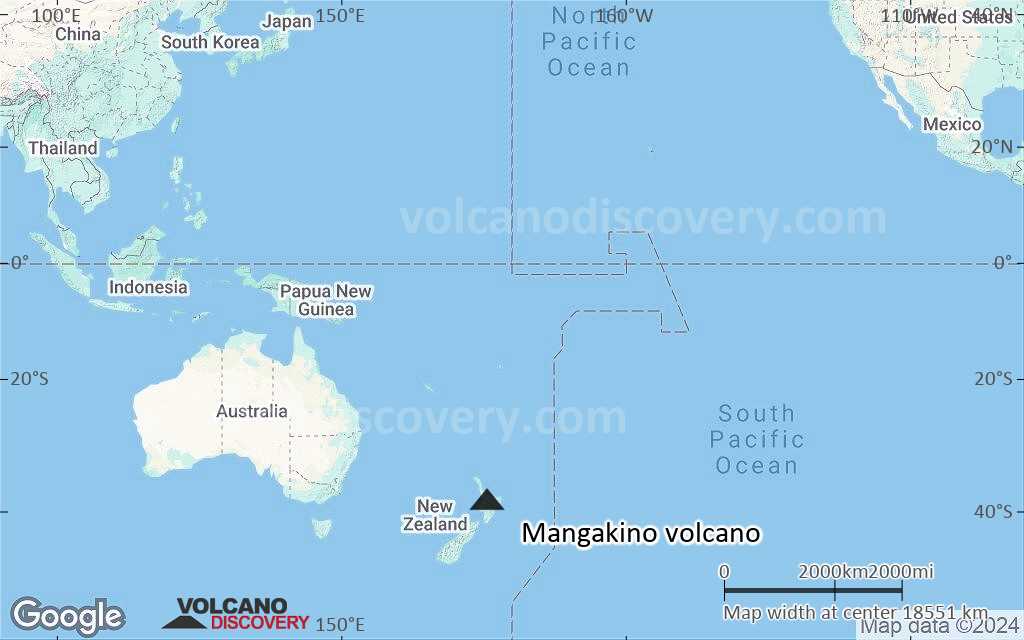
Terrain-type map of Mangakino volcano (world scale)
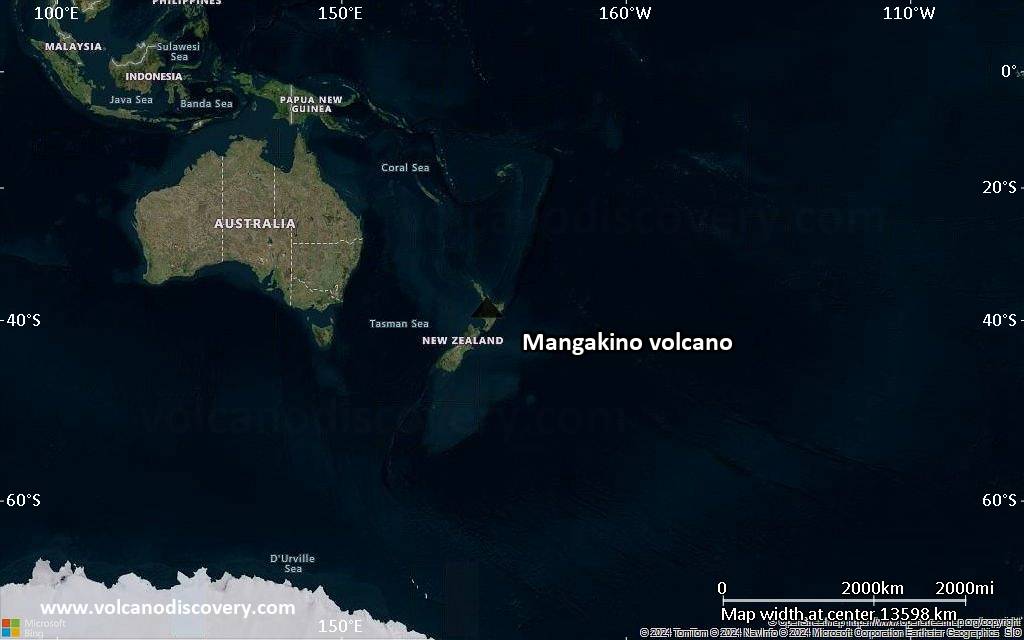
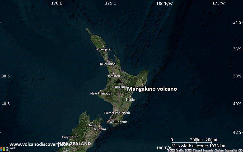
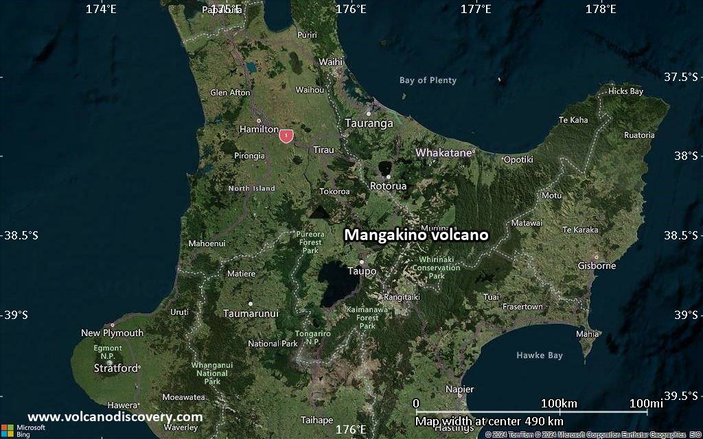
Satellite/aerial-type map of Mangakino volcano (region scale large)
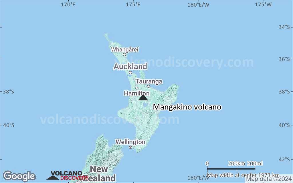
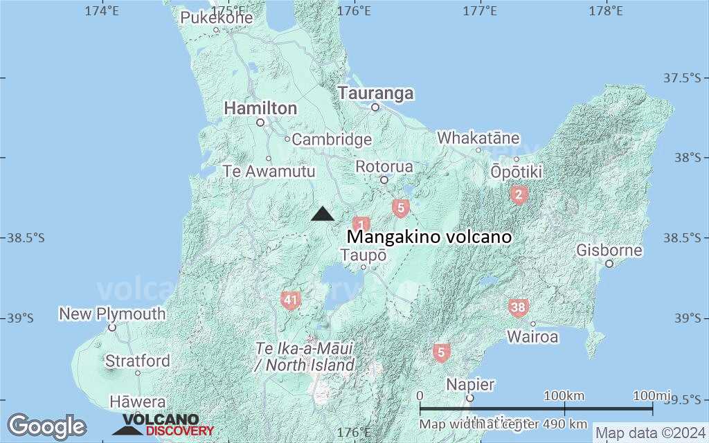
Terrain-type map of Mangakino volcano (region scale large)
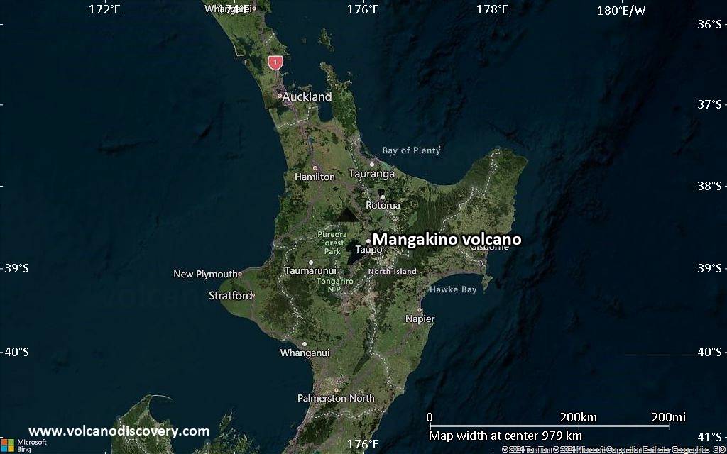
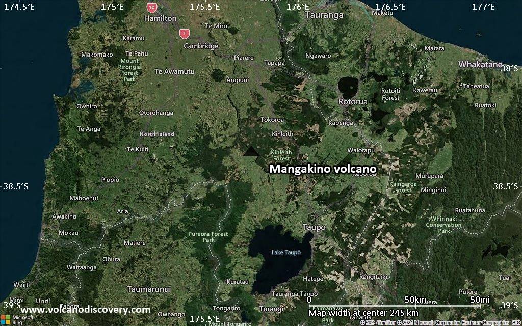
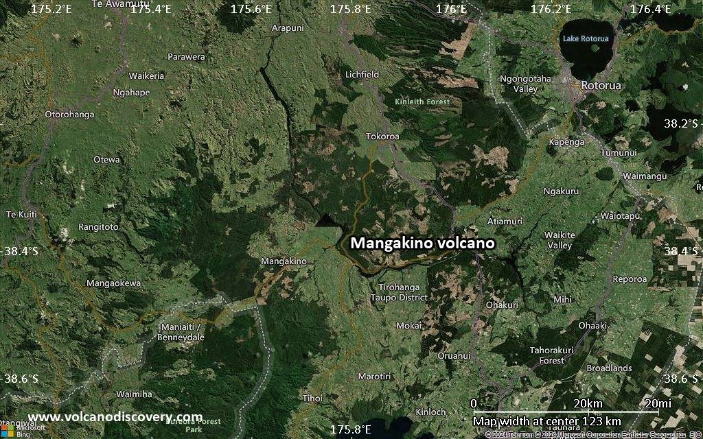
Satellite/aerial-type map of Mangakino volcano (region scale medium)
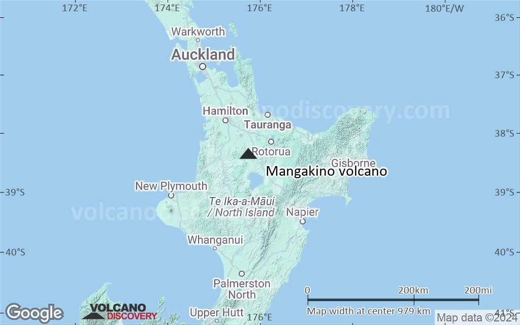
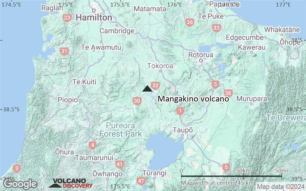
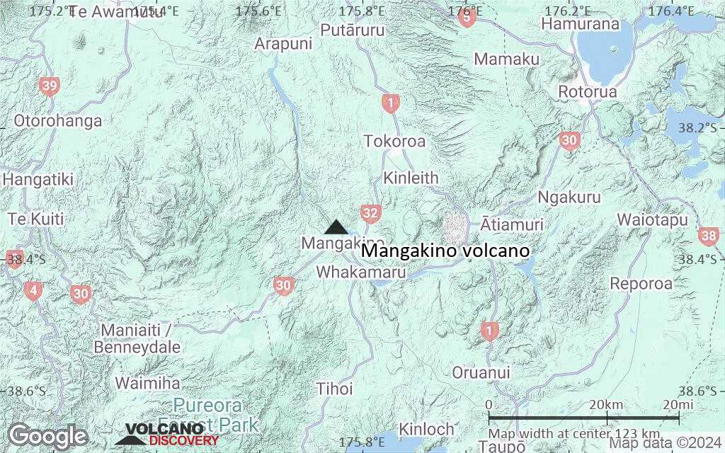
Terrain-type map of Mangakino volcano (region scale medium)
Satellite/aerial-type map of Mangakino volcano (region scale small)
Terrain-type map of Mangakino volcano (region scale small)
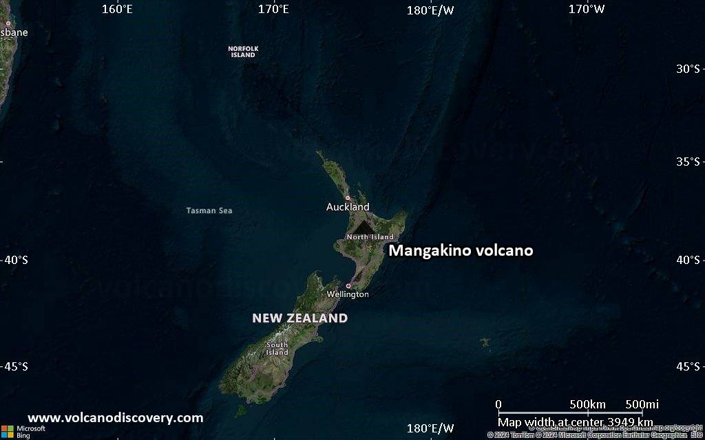
Satellite/aerial-type map of Mangakino volcano (local scale large)
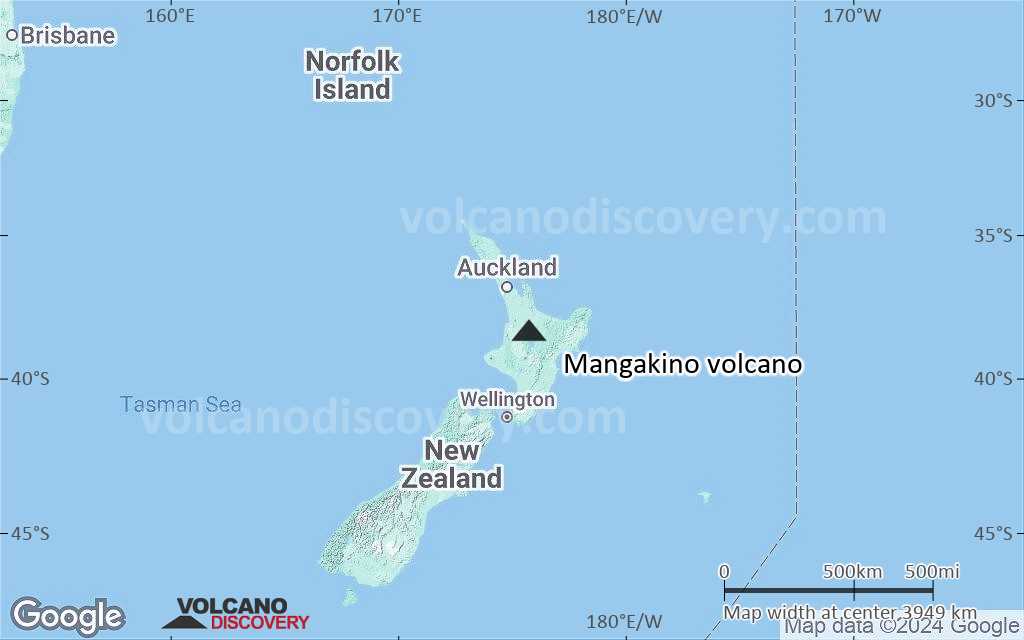
Terrain-type map of Mangakino volcano (local scale large)
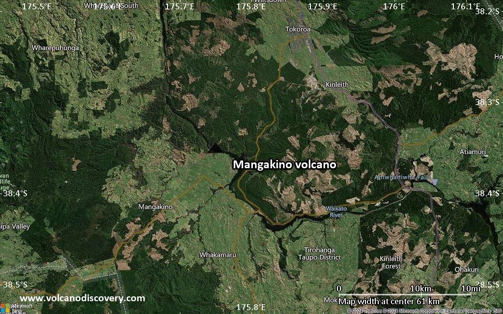
Satellite/aerial-type map of Mangakino volcano (local scale medium)
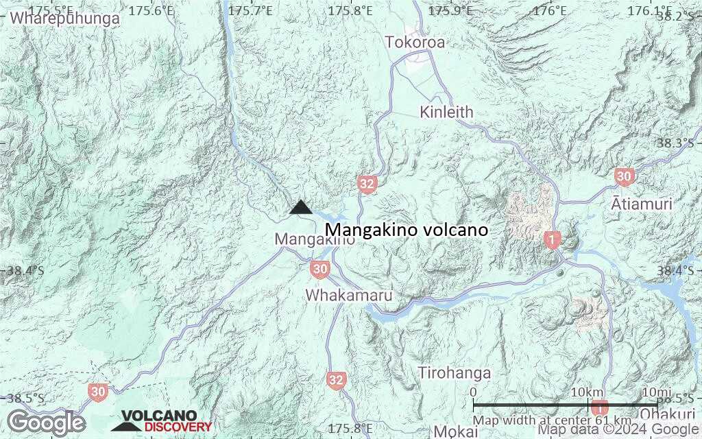
Terrain-type map of Mangakino volcano (local scale medium)
Satellite/aerial-type map of Mangakino volcano (local scale small)
Terrain-type map of Mangakino volcano (local scale small)
Satellite/aerial-type map of Mangakino volcano (scale of 10s of km)
Terrain-type map of Mangakino volcano (scale of 10s of km)
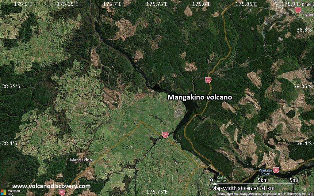
Satellite/aerial-type map of Mangakino volcano (scale of 20-40 km)
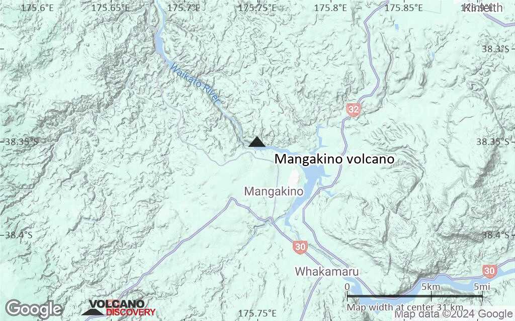
Terrain-type map of Mangakino volcano (scale of 20-40 km)
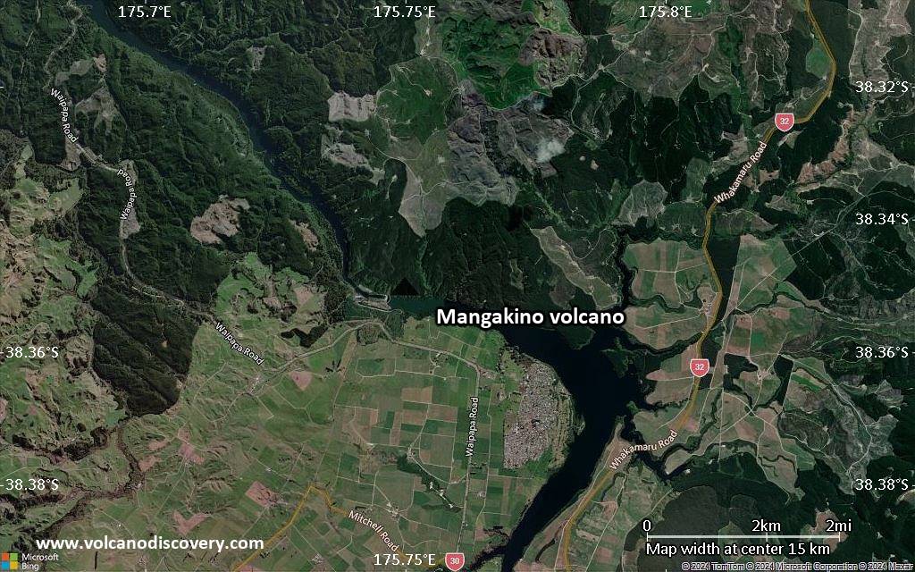
Satellite/aerial-type map of Mangakino volcano (scale of approx. 10-20 km)
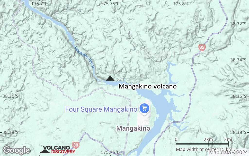
Terrain-type map of Mangakino volcano (scale of approx. 10-20 km)
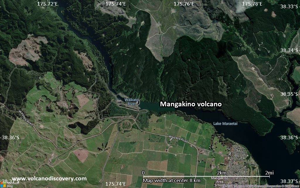
Satellite/aerial-type map of Mangakino volcano (scale of 5-10 km)
Satellite/aerial-type map of Mangakino volcano (scale of few kilometers)
Volcanoes & Earthquakes - new app for Android
Guaranteed tours
1-17 Aug 2025: Volcanoes and Spices - Sulawesi/Halmahera (Indonesia)
1-14 Oct 2025: Desert, salt and volcanoes - Danakil desert (Ethiopia)
4-12 Oct 2025: From Stromboli to Etna - Sicily and Eolian Islands (Italy)
6-21 Oct 2025: From Krakatau to Bali - Java (Indonesia)
3-19 Nov 2025: Volcanoes and Spices - Sulawesi/Halmahera (Indonesia)
= spaces available   = guaranteed   = few spaces left   = booked out
News

No news in this list.

On this page:

Try our free app!
Volcanoes & Earthquakes - new app for Android
Android | iOS version

More on VolcanoDiscovery

Why is there advertising on this site?

Support us - Help us upgrade our services!

We truly love working to bring you the latest volcano and earthquake data from around the world. Maintaining our website and our free apps does require, however, considerable time and resources.
We need financing to increase hard- and software capacity as well as support our editor team. We're aiming to achieve uninterrupted service wherever an earthquake or volcano eruption unfolds, and your donations can make it happen! Every donation will be highly appreciated. If you find the information useful and would like to support our team in integrating further features, write great content, and in upgrading our soft- and hardware, please make a donation (PayPal).

Planned features:Thanks to your past donations, these features have been added recently:
Download and Upgrade the Volcanoes & Earthquakes app to get one of the fastest seismic and volcano alerts online:
Android | IOS
Thank you!
Sources: VolcanoDiscovery / VolcanoAdventures and other sources as noted.
Use of material: Most text and images on our websites are owned by us. Re-use is generally not permitted without authorization. Contact us for licensing rights.
Volcanoes & Earthquakes
VolcanoDiscovery Home
Volcanoes | Earthquakes | Photos | Volcano News | | Shop | App
Adventure & Study Travel
Tours to Volcanoes and Volcanic Areas: walking tours, photo tours, study tours
Tours & Dates | FAQ | About us
Get our newsletter!
Company info
Contact | Legal info | Terms & conditions
Follow us
Follow us on facebook Follow us on Instagram Follow us on Bluesky Follow us on Twitter Visit our Youtube channel
EN | DE | EL | ES | FR | IT | RU
VolcanoDiscovery GmbH, Germany, Reg. nr.: HRB 103744, EU Tax Id: DE 297 465 123 owned and created by
Dr. Tom Pfeiffer, volcanologist, volcano photographer, tour organizer member of
IAVCEI
IAVCEI
Vulkanologische Gesellschaft
Volcanological Society
Ecotourism Greece
Ecotourism Greece
RUV insurance
Insured by R+V
VolcanoDiscovery © 2004- All Rights Reserved | Privacy - Cookie Settings