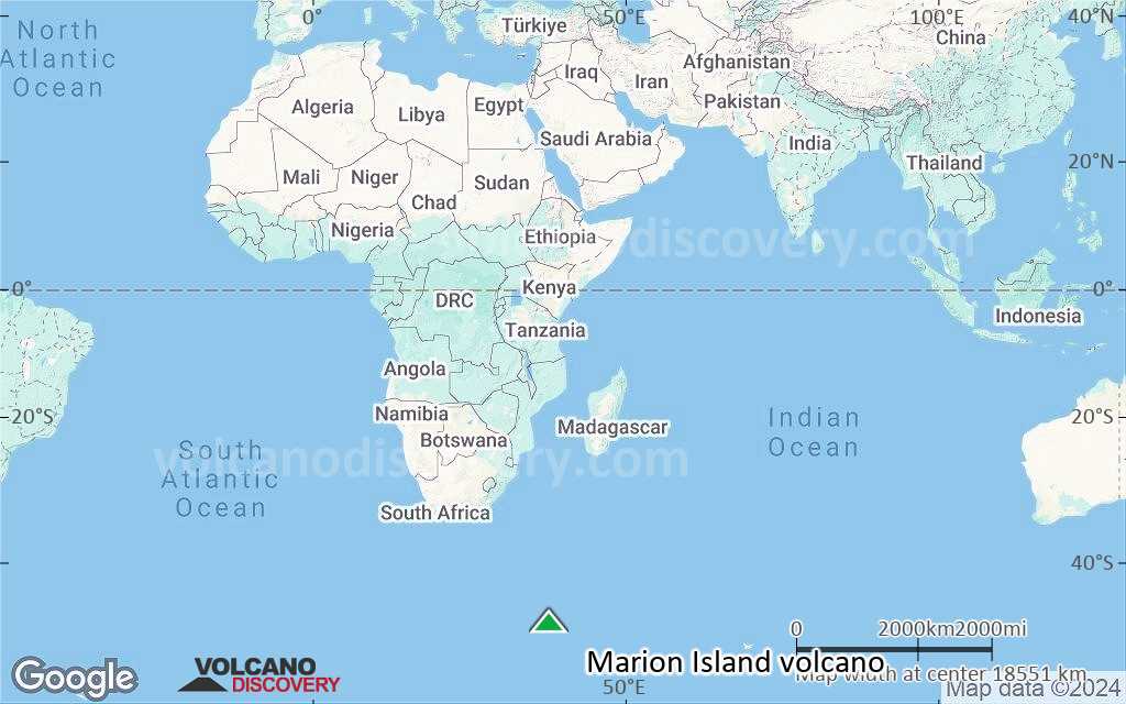
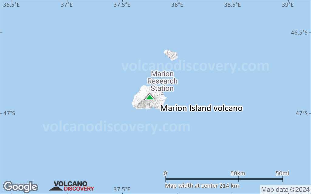
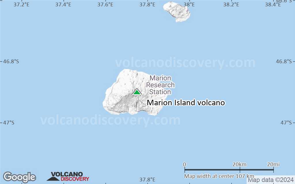
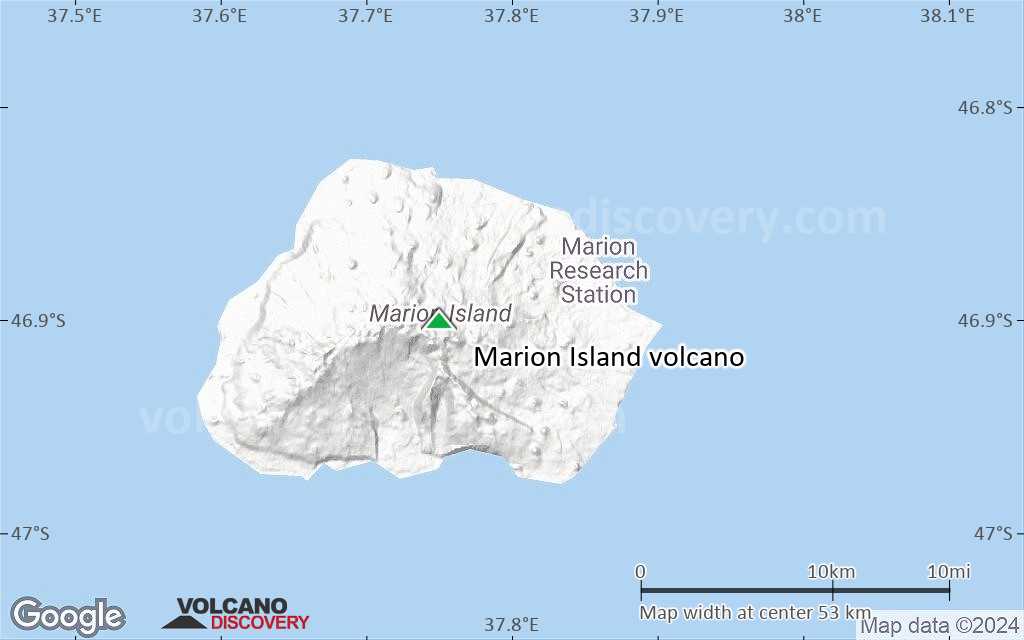
Marion Island Volcano
Marion Island volcano eruptions: 2004
Latest nearby earthquakes
| Date and Time | Mag / Depth | Distance / Location | |||
|---|---|---|---|---|---|
Background
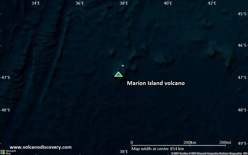
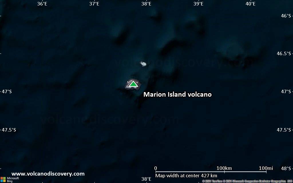
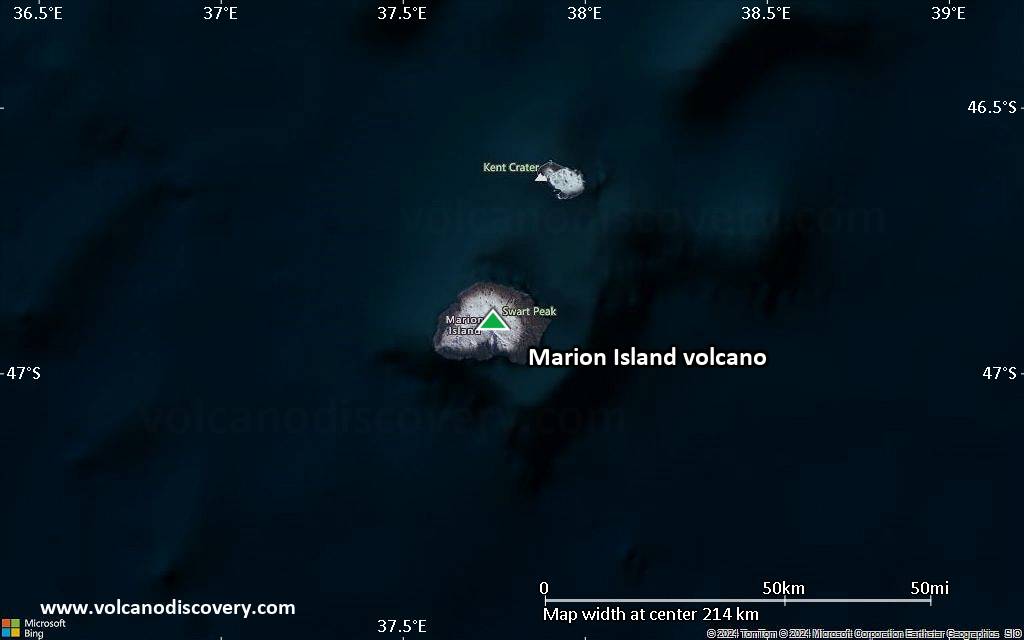
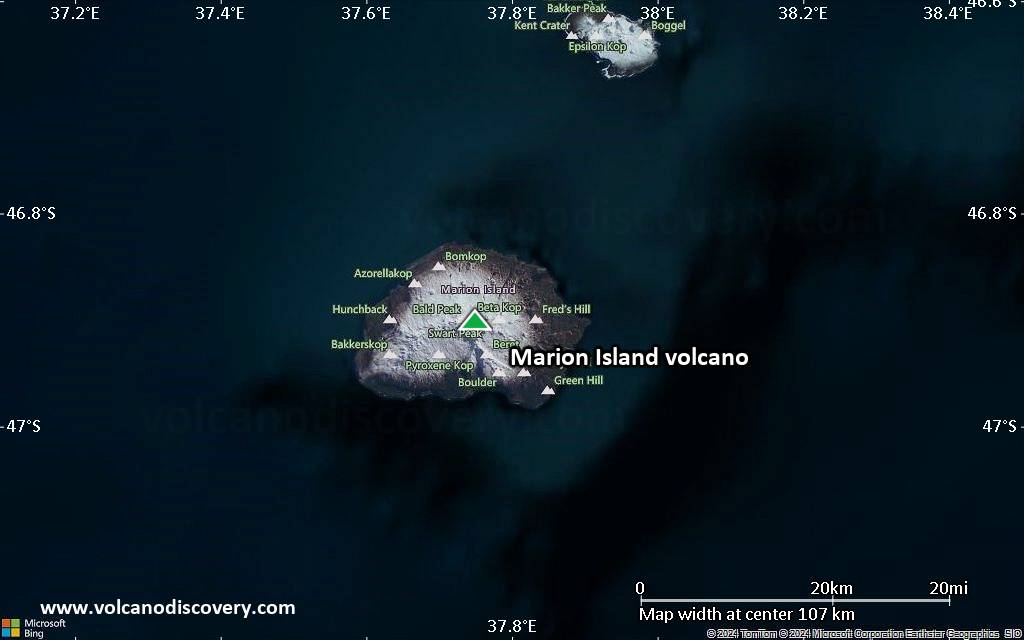
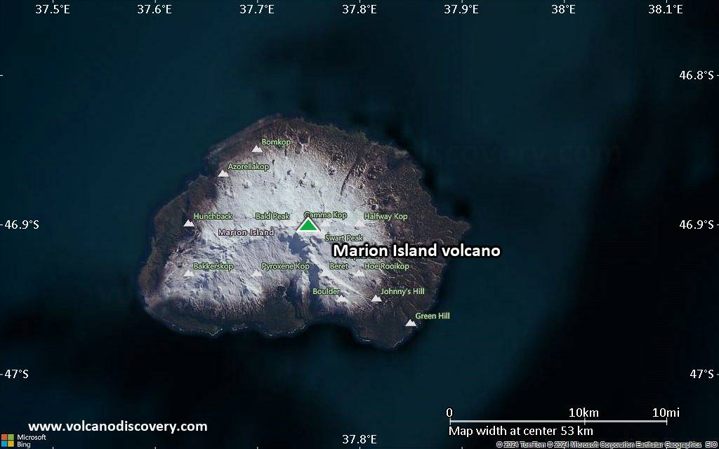
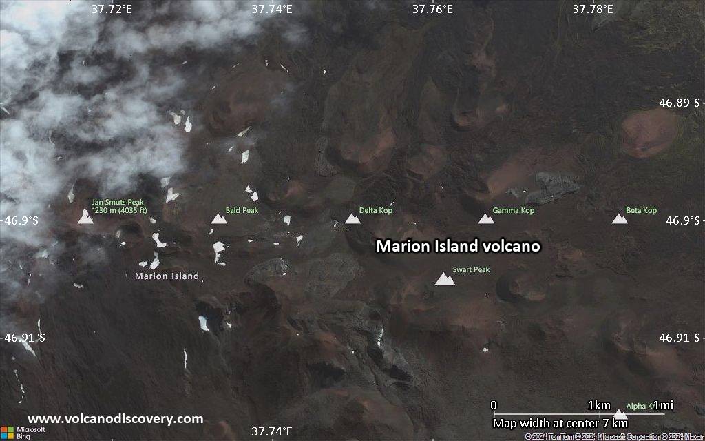
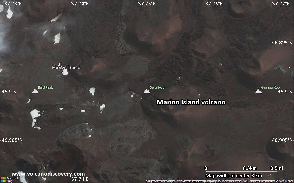
Marion Island, South Africa's only historically active volcano, lies at the SW end of a submarine plateau immediately south of the SW Indian Ocean Ridge, opposite Prince Edward Island. The low profile of 24-km-wide dominantly basaltic and trachybasaltic Marion Island is formed by two young shield volcanoes that rise above a flat-topped submarine platform. The 1230-m-high island is dotted by about 150 cinder cones, smaller scoria cones, and coastal tuff cones. The earliest dated eruptions took place about 450,000 years ago, but much of the island is covered by Holocene aa and pahoehoe lava flows, and more than 130 scoria cones formed during the Holocene. Many of these appear younger than the 4020 BP peat layer overlying one of the flows (Verwoerd, 1981). Young unvegetated lava flows appear to be only a few 100 years old (Verwoerd, 1967). The first historical eruption, during 1980, produced explosive activity and lava flows from a 5-km-long fissure that extended from the summit to the west coast.---
Smithsonian / GVP volcano information
Significant volcanic eruptions: Marion Island volcano
| Date | Note | VEI | Deaths | Damage | |
|---|---|---|---|---|---|
| South side of island Historical obs./docs. | 1 | ||||
| E-W fissure from summit to W coast Historical obs./docs. | 1 | ||||
Marion Island Volcano FAQ
+When was the last eruption of Marion Island volcano?
The last confirmed eruption of Marion Island occurred in 2004.
+How often does Marion Island volcano erupt?
There are no known historic eruptions, but evidence from geologic records shows that it has had at least 2 eruptions over the past 10,000 years. This number is likely much higher because many past eruptions might not have left evidence recognizeable today and/or the volcano might not have been studied in too much detail. Using the available data, a very conservative estimate is that Marion Island volcano erupts every 5,000 years.
+How active is Marion Island volcano at present?
Marion Island volcano is occasionally active: Since 1900, it has had 2 eruptions, and been active during 2 years out of 126 as of now. This means, Marion Island has been in eruption one in 63 years on average. The last eruption was in 2004 and ended 21 years ago.
+When was the largest eruption of Marion Island volcano?
The largest eruption of Marion Island volcano in historic times occurred in 2004. It only has a VEI (Volcanic Explosivity Index) of 1, likely because it was a mainly effusive eruption generating lava flows but very little ash.
Latest satellite images
Marion Island Volcano Maps