Mauna Kea Volcano
Updated: May 21, 2025 02:23 GMT -
Shield volcano
United States, Hawaiian Islands, 19.82°N / -155.47°W 
Summit height: 4205 m / 13,796 ft
Current status: normal or dormant (1 out of 5)
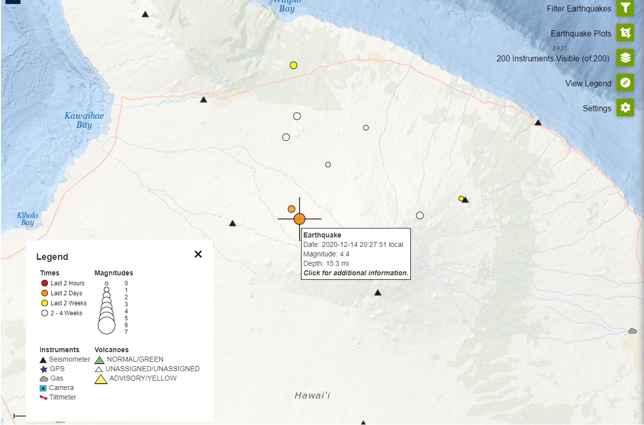
Last update: 21 Mar 2022 (M 4.5 earthquake today)
[smaller] [larger]
Mauna Kea volcano eruptions: 2460 BC ±100 years
Latest nearby earthquakes
| Date and Time | Mag / Depth | Distance / Location | |||
|---|---|---|---|---|---|
| May 20, 12:30 am (GMT -10) | 2.3 24 km | 7.1 km (4.4 mi) to the N | Info | ||
| Thursday, May 15, 2025 GMT (1 quake) | |||||
| May 14, 11:08 pm (GMT -10) | 2.9 16 km | 14 km (8.6 mi) to the W | Info | ||
| Sunday, May 11, 2025 GMT (1 quake) | |||||
| May 11, 01:13 am (GMT -10) | 1.9 20 km | 16 km (10 mi) to the NW | Info | ||
Background
Mauna Kea, Hawaii's highest volcano, reaches 4205 m, only 35 m above its neighbor, Mauna Loa. In contrast to Mauna Loa, Mauna Kea lacks a summit caldera and is capped by a profusion of cinder cones and pyroclastic deposits. Mauna Kea's rift zones are less pronounced than on neighboring volcanoes, and the eruption of voluminous, late-stage pyroclastic material has buried much of the early basaltic shield volcano, giving the volcano a steeper and more irregular profile. This transition took place about 250,000 to 200,000 years ago, and much of Mauna Kea, whose Hawaiian name means "White Mountain," was constructed during the Pleistocene. Its age and high altitude make it the only Hawaiian volcano with glacial moraines. A road that reaches a cluster of astronomical observatories on the summit also provides access to seasonal tropical skiing. The latest eruptions at Mauna Kea produced a series of cinder cones and lava flows from vents on the northern and southern flanks during the early to mid Holocene.---
Smithsonian / GVP volcano information
Mauna Kea Volcano Photos
Mauna Kea volcano, partly in clouds, Big Island, Hawaii (Photo: Janka)

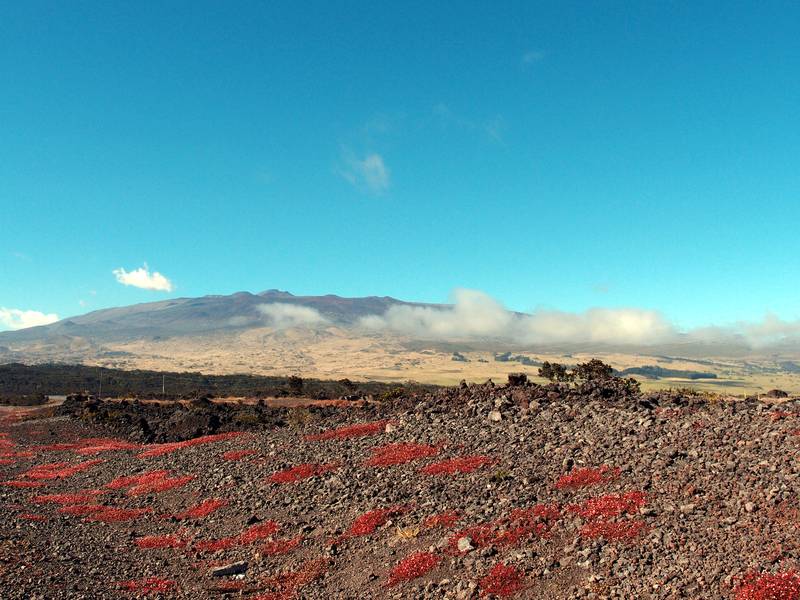
A wide view overlooking the dry and deserted terrain of Mauna Kea volcano, Big island, Hawaii (Photo: Janka)
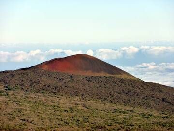
Beautiful red cinder cone on Mauna Kea volcano, Big Island, Hawaii (Photo: Janka)

Cinder cone in the mountain region of Mauna Kea volcano, Big Island, Hawaii (Photo: Janka)
Significant volcanic eruptions: Mauna Kea volcano
No historic eruptions are known from Mauna Kea volcano, but evidence from at least 6 eruptions during the past 10,000 years can be found in the geological record.
The table below lists all known eruptions (date in bold face) of Mauna Kea volcano in historic times and during the past 10,000 years. Updates on the most recent volcanic activity of Mauna Kea can be found on the news page of Mauna Kea volcano.
| Date | Note | VEI | Deaths | Damage | |
|---|---|---|---|---|---|
| NE flank (Puu Lehu, 3130 m) | ? | ||||
| South rift zone (Puu Kole) | ? | ||||
| NE flank (Puu Kanakaleonui, 2930 m) | ? | ||||
| SE flank (near Hale Pohaku, 2740 m) | ? | ||||
| South rift zone (Puu Kalaieha) | ? | ||||
| North flank (Puu Kole) | ? | ||||
Remark:
Our list of volcanic eruptions closely follows the database of eruptions of the Smithsonian's Global Volcanism Project (GVP), the internationally most recognized data source for volcanic eruptions, but also includes significant eruptive episodes or related volcano events. "Volcanic eruptions" are usually to be understood as sequences of individual eruptive episodes that can follow each other, or even overlap (if several vents are involved), and can last many years, decades or even longer. For example, the current activity of Stromboli volcano is understood as a single eruption that has been ongoing since 1934.
Sources: NOAA National Centers for Environmental Information (NCEI), Global Significant Volcanic Eruptions Database. doi:10.7289/V5TD9V7K | Global Volcanism Project / Smithsonian Institution
Mauna Kea Volcano FAQ
+When was the last eruption of Mauna Kea volcano?
The last confirmed eruption of Mauna Kea occurred around 2460 BC.
Latest satellite images
Mauna Kea Volcano Maps
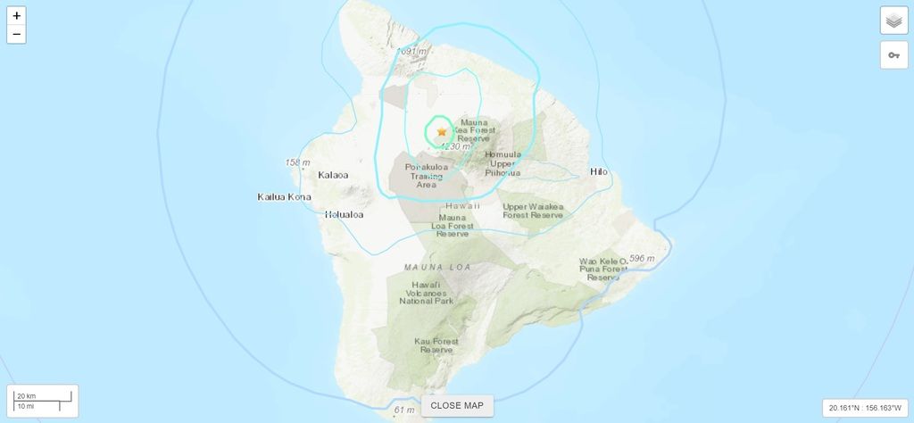
Below is a selection of maps showing the location and surroundings of the volcano at various resolutions based on aerial-imagery / terrain maps. Feel free to use them for non-commercial purposes on your blog or website as long as you credit them with a link back to this page (click to copy it).
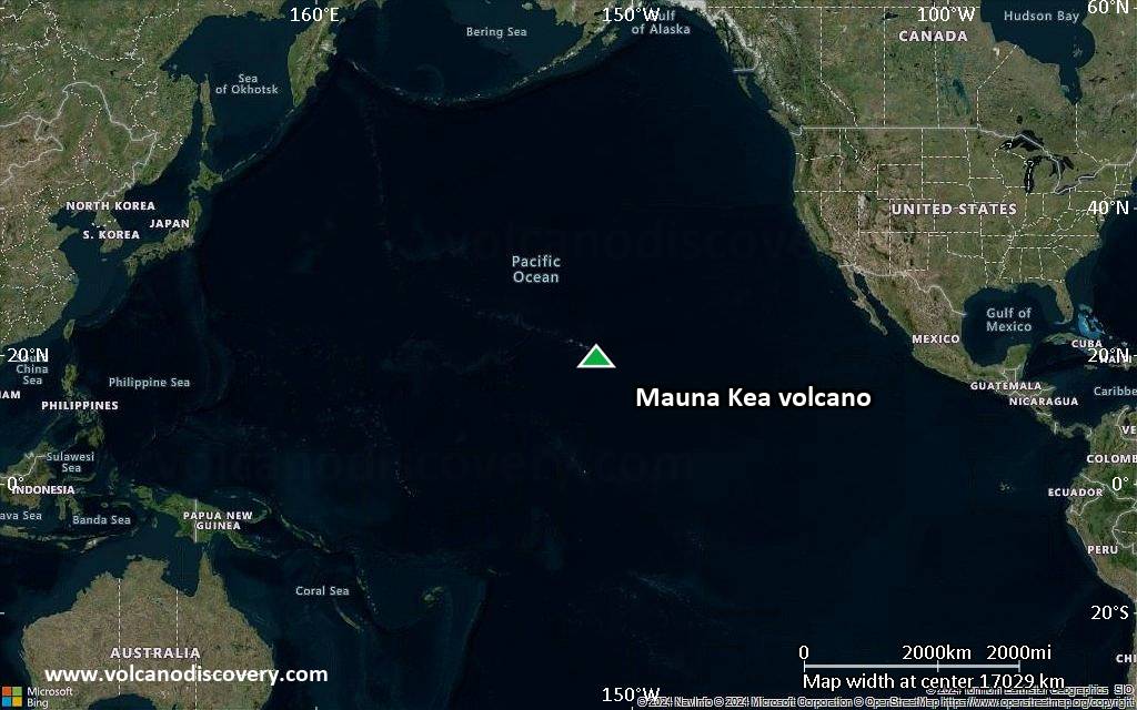
Satellite/aerial-type map of Mauna Kea volcano (world scale)
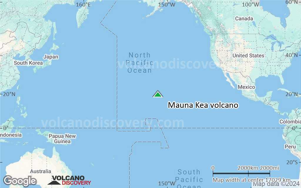
Terrain-type map of Mauna Kea volcano (world scale)
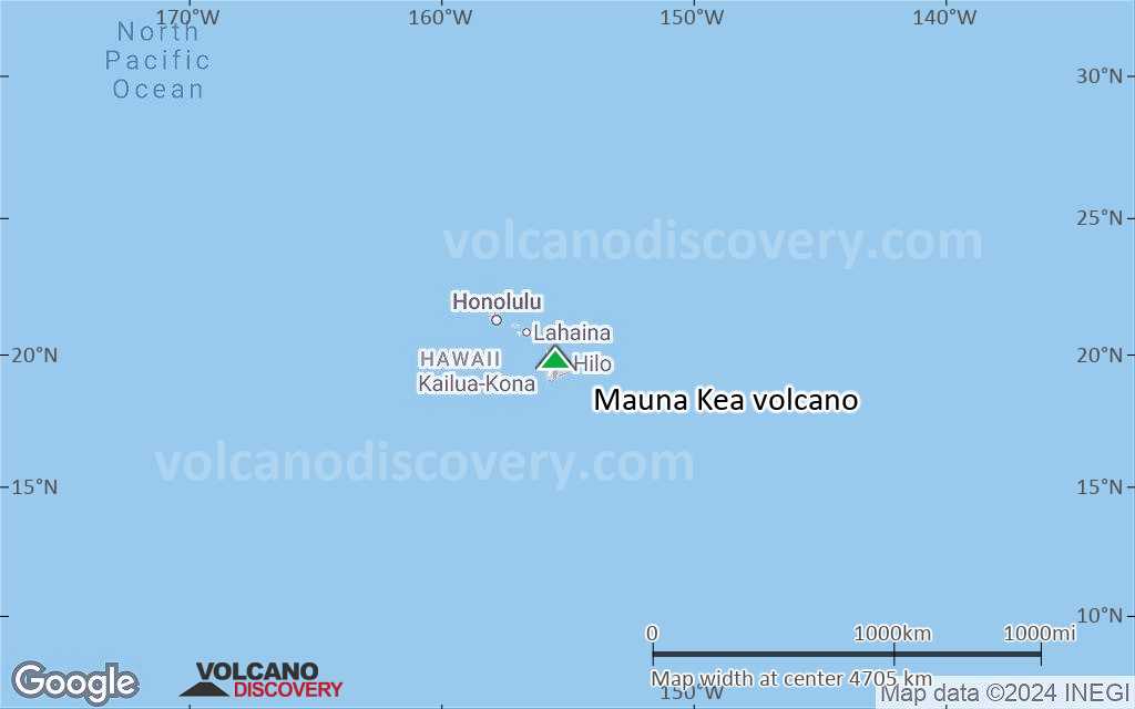
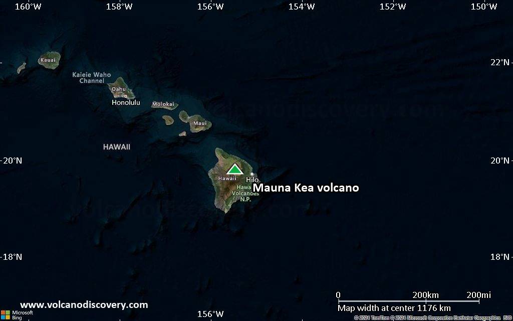
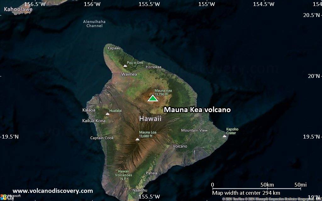
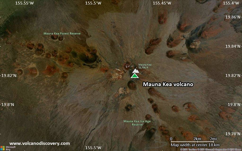
Satellite/aerial-type map of Mauna Kea volcano (region scale large)
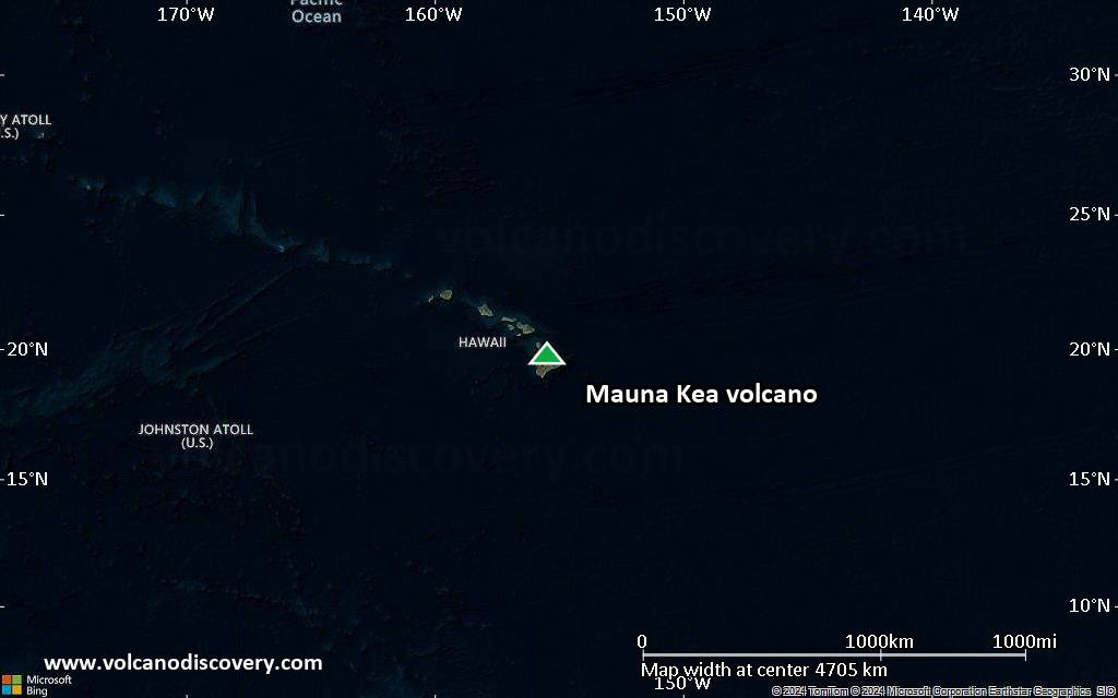
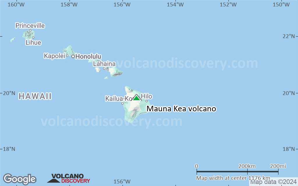
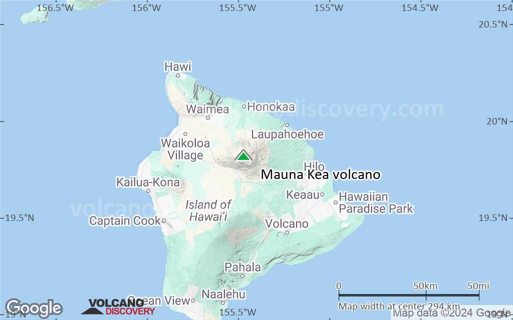
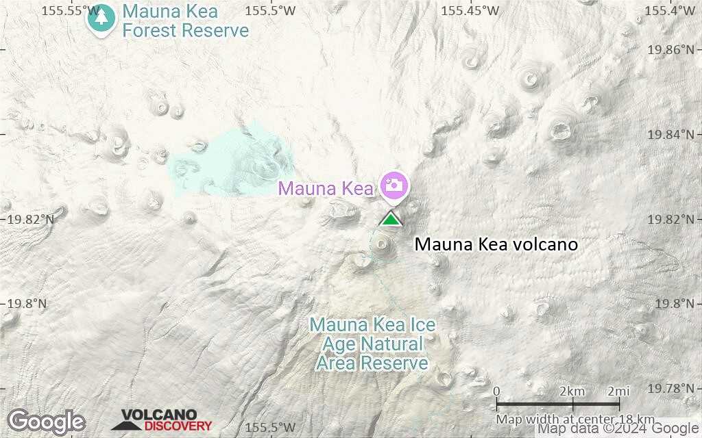
Terrain-type map of Mauna Kea volcano (region scale large)

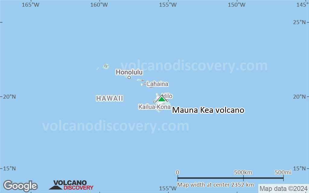
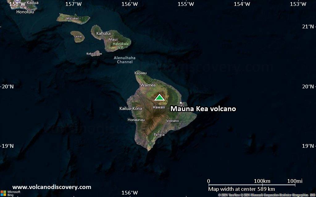
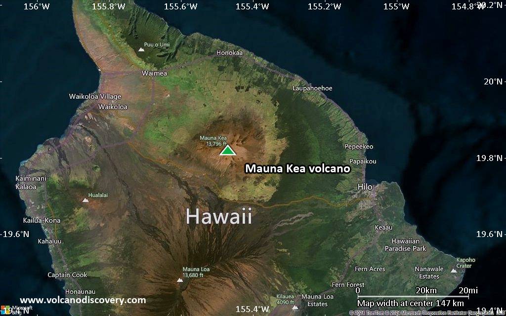
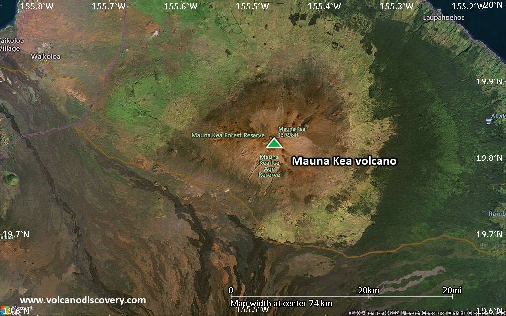
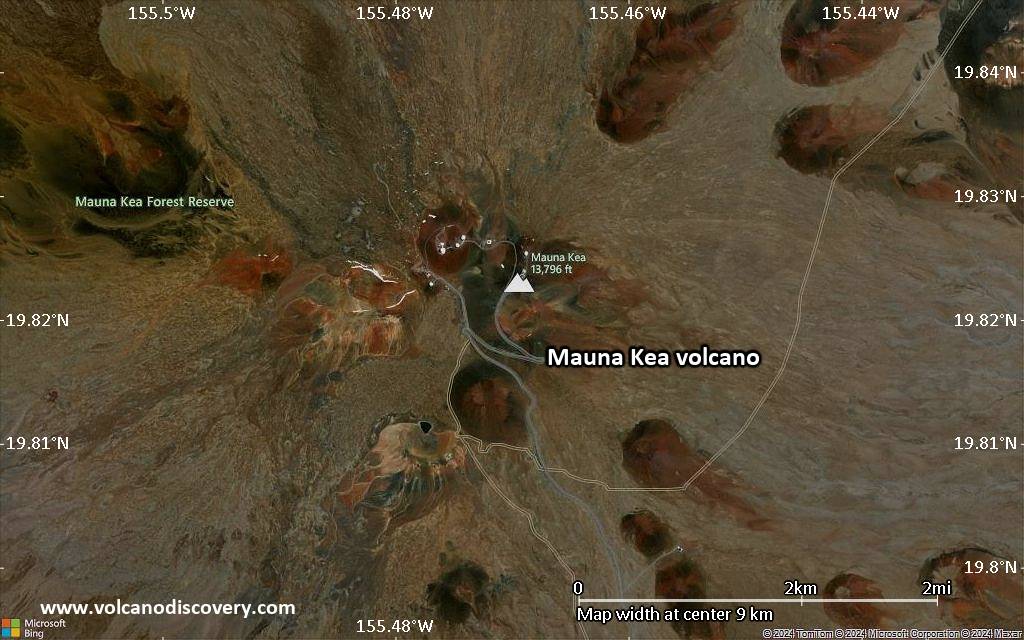
Satellite/aerial-type map of Mauna Kea volcano (region scale medium)
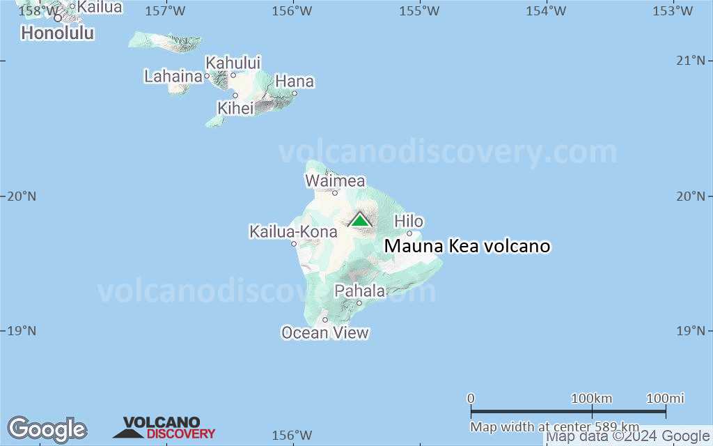
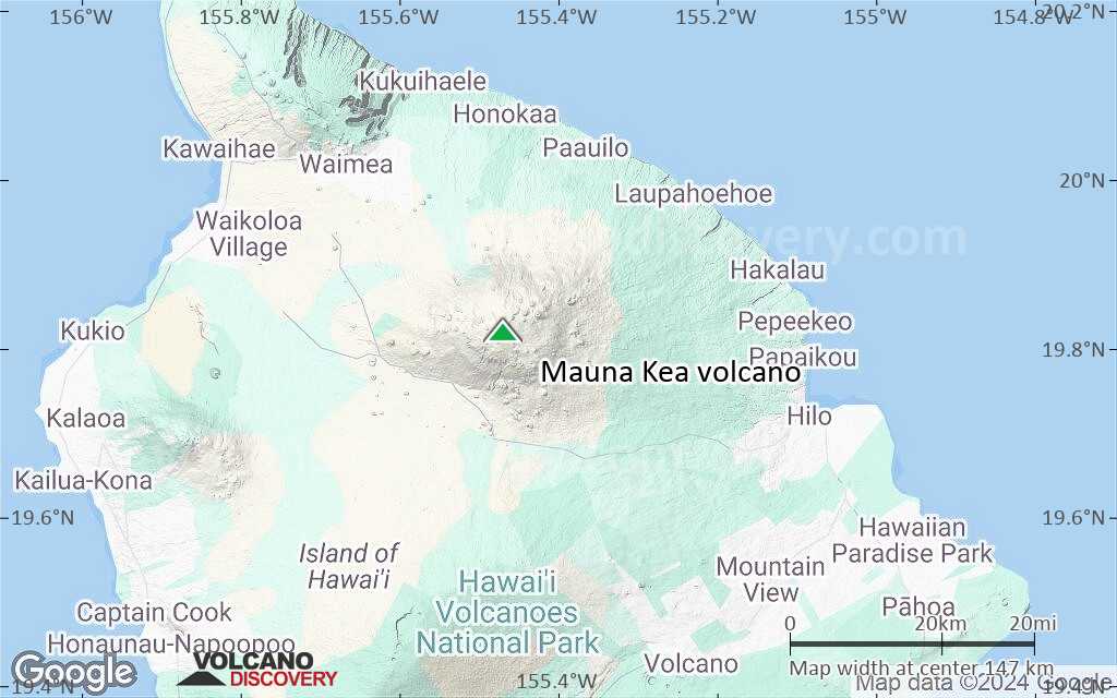
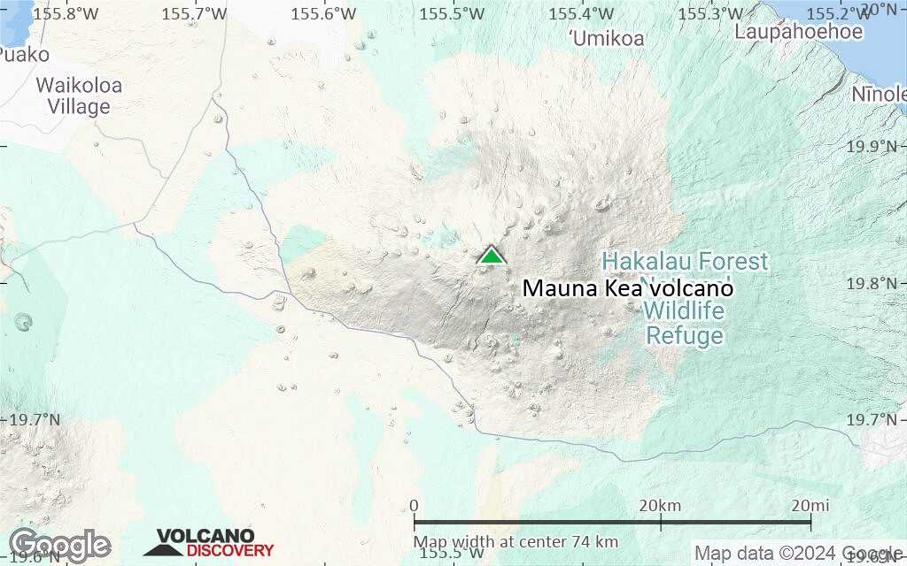
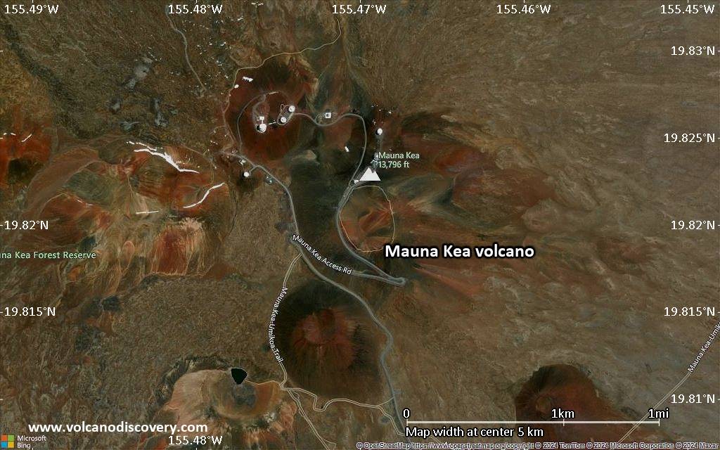
Terrain-type map of Mauna Kea volcano (region scale medium)
Satellite/aerial-type map of Mauna Kea volcano (region scale small)
Terrain-type map of Mauna Kea volcano (region scale small)
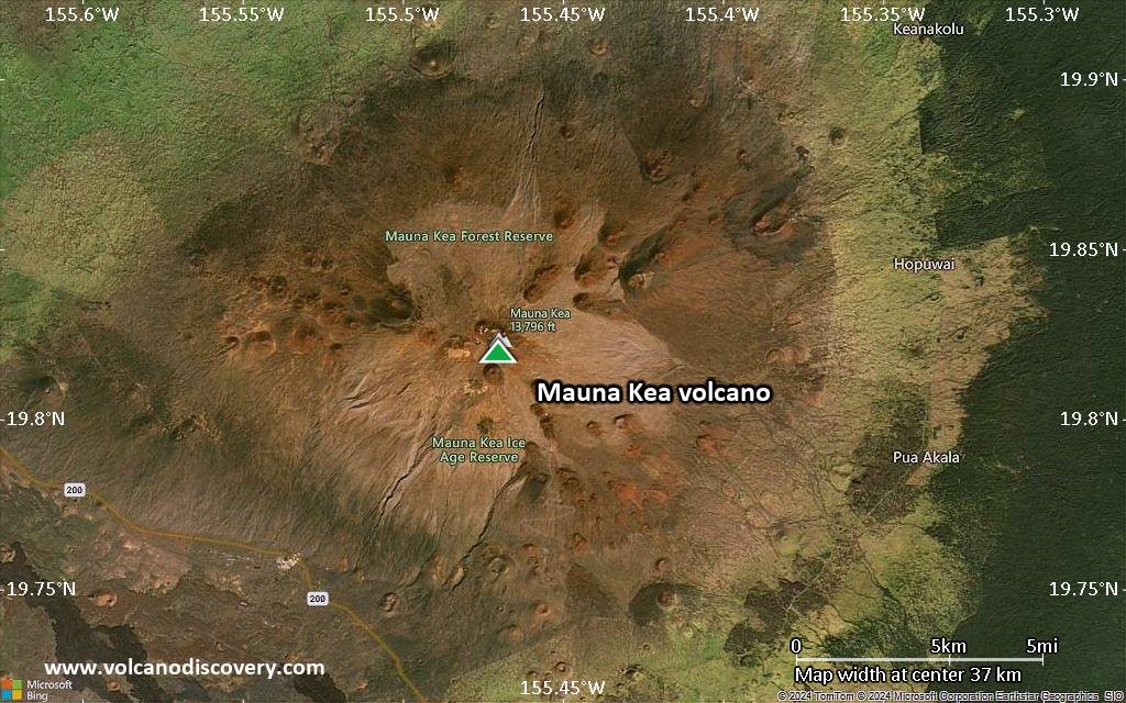
Satellite/aerial-type map of Mauna Kea volcano (local scale large)
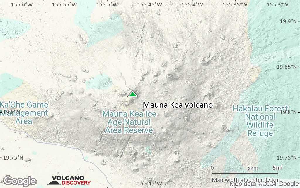
Terrain-type map of Mauna Kea volcano (local scale large)
Satellite/aerial-type map of Mauna Kea volcano (local scale medium)
Terrain-type map of Mauna Kea volcano (local scale medium)
Satellite/aerial-type map of Mauna Kea volcano (local scale small)
Terrain-type map of Mauna Kea volcano (local scale small)
Satellite/aerial-type map of Mauna Kea volcano (scale of 10s of km)
Terrain-type map of Mauna Kea volcano (scale of 10s of km)
Satellite/aerial-type map of Mauna Kea volcano (scale of 20-40 km)
Terrain-type map of Mauna Kea volcano (scale of 20-40 km)
Satellite/aerial-type map of Mauna Kea volcano (scale of approx. 10-20 km)
Terrain-type map of Mauna Kea volcano (scale of approx. 10-20 km)
Satellite/aerial-type map of Mauna Kea volcano (scale of 5-10 km)
Satellite/aerial-type map of Mauna Kea volcano (scale of few kilometers)