May-ya-moto Volcano
Updated: Oct 4, 2025 08:31 GMT -
Fumarole field
DR Congo, -0.93°S / 29.33°E 
Summit height: 950 m / 3,117 ft
Current status: normal or dormant (1 out of 5)
[smaller] [larger]
May-ya-moto volcano eruptions: unknown, no recent eruptions
Latest nearby earthquakes
| Date and Time | Mag / Depth | Distance / Location | |||
|---|---|---|---|---|---|
Background
May-ya-moto, also known as Maji ja moto, is an isolated hydrothermal field in the Albert National Park south of Lake Edward. The thermal area is located at an altitude of 950 m in the eastern part of the Democratic Republic of Congo NW of the Virunga Mountains about 38 km north of the town of Rutschuru. The May-ya-moto thermal area contains fumaroles and hot springs with temperatures of less than 100 degrees Centigrade. Although the age of volcanic activity was not stated, May-ya-moto was included in the Catalog of Active Volcanoes of the World (Richard and Neumann van Padang, 1957) based on its thermal activity.---
Smithsonian / GVP volcano information
May-ya-moto Volcano Photos

Merapi seen from the SE side on May 21. (Photo: Tom Pfeiffer)

The eruption of Merapi seen from Tunggularum (24 May 2006).
(Photo: Tom Pfeiffer)
(Photo: Tom Pfeiffer)

Powerful strombolian eruption from the active vent (May 23, 2008). (Photo: Tom Pfeiffer)

Vesuvius volcano near Naples, Italy, seen from the air. The rim of the remnant of the older Somma volcano which collapsed in the 79 AD Plinian eruption is clearly visible...
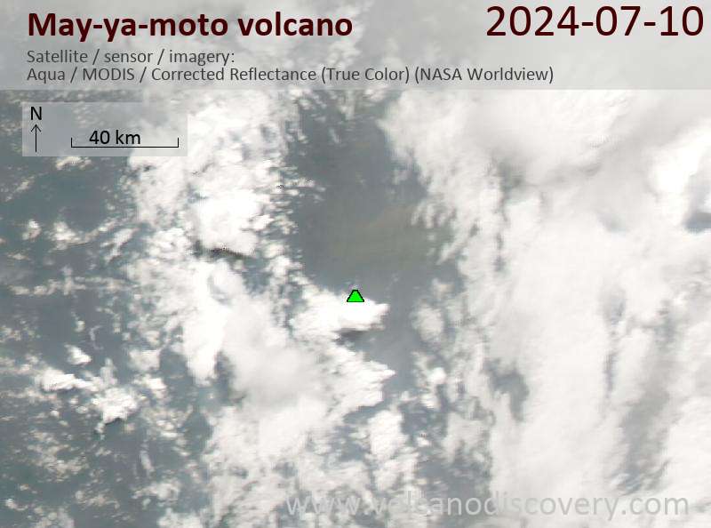
Latest satellite images
May-ya-moto Volcano Maps
Below is a selection of maps showing the location and surroundings of the volcano at various resolutions based on aerial-imagery / terrain maps. Feel free to use them for non-commercial purposes on your blog or website as long as you credit them with a link back to this page (click to copy it).

Satellite/aerial-type map of May-ya-moto volcano (world scale)

Terrain-type map of May-ya-moto volcano (world scale)

Satellite/aerial-type map of May-ya-moto volcano (region scale large)

Terrain-type map of May-ya-moto volcano (region scale large)

Satellite/aerial-type map of May-ya-moto volcano (region scale medium)

Terrain-type map of May-ya-moto volcano (region scale medium)

Satellite/aerial-type map of May-ya-moto volcano (region scale small)

Terrain-type map of May-ya-moto volcano (region scale small)

Satellite/aerial-type map of May-ya-moto volcano (local scale large)

Terrain-type map of May-ya-moto volcano (local scale large)

Satellite/aerial-type map of May-ya-moto volcano (local scale medium)

Terrain-type map of May-ya-moto volcano (local scale medium)

Satellite/aerial-type map of May-ya-moto volcano (local scale small)

Terrain-type map of May-ya-moto volcano (local scale small)

Satellite/aerial-type map of May-ya-moto volcano (scale of 10s of km)

Terrain-type map of May-ya-moto volcano (scale of 10s of km)

Satellite/aerial-type map of May-ya-moto volcano (scale of 20-40 km)

Terrain-type map of May-ya-moto volcano (scale of 20-40 km)

Satellite/aerial-type map of May-ya-moto volcano (scale of approx. 10-20 km)

Terrain-type map of May-ya-moto volcano (scale of approx. 10-20 km)

Satellite/aerial-type map of May-ya-moto volcano (scale of 5-10 km)

Satellite/aerial-type map of May-ya-moto volcano (scale of few kilometers)


