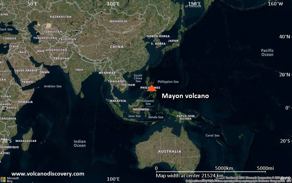
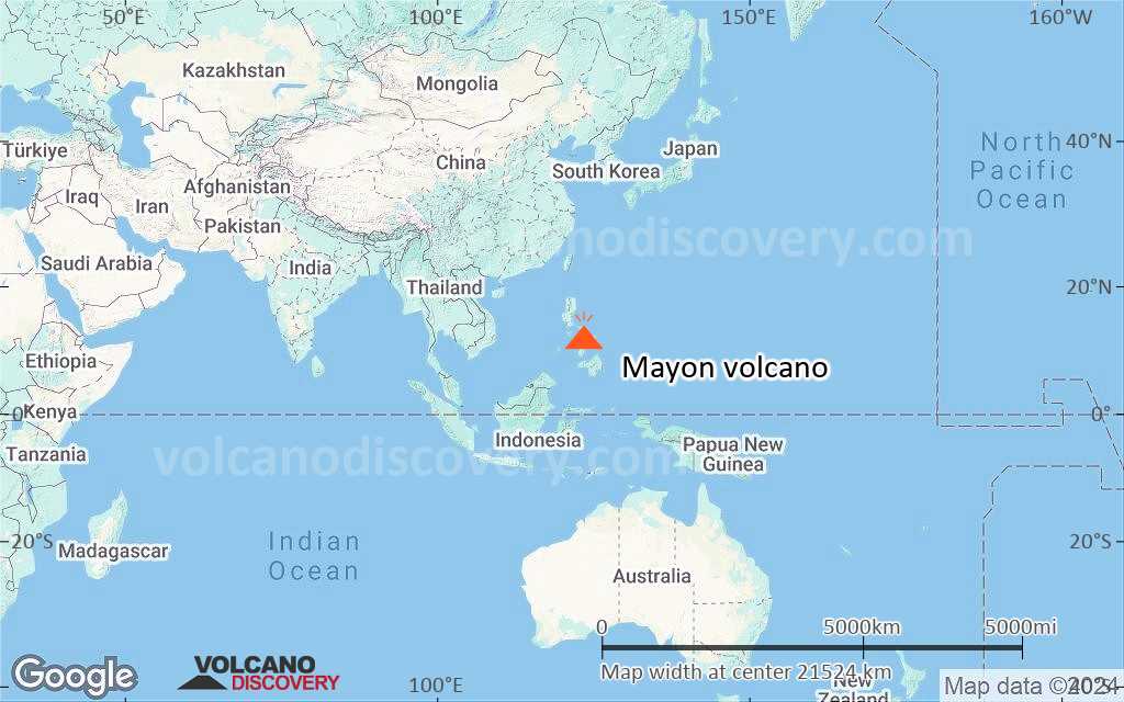
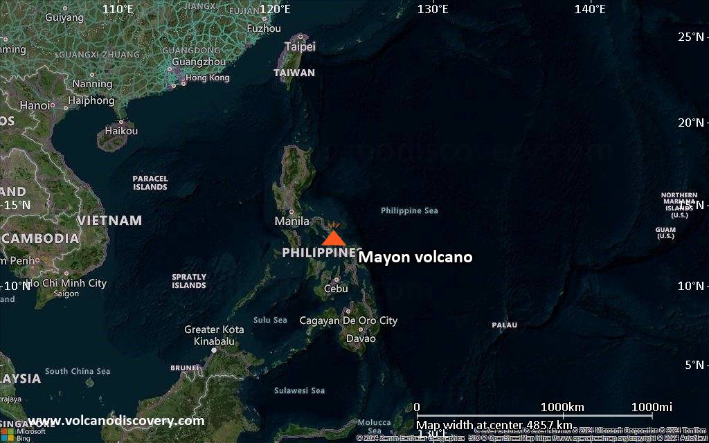
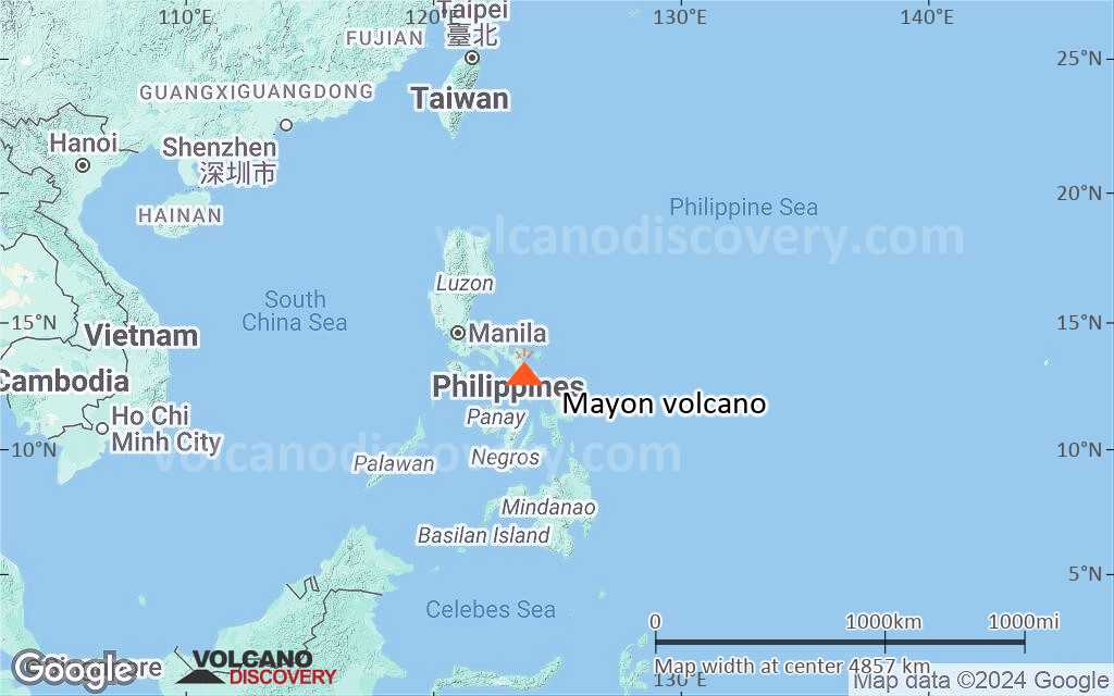
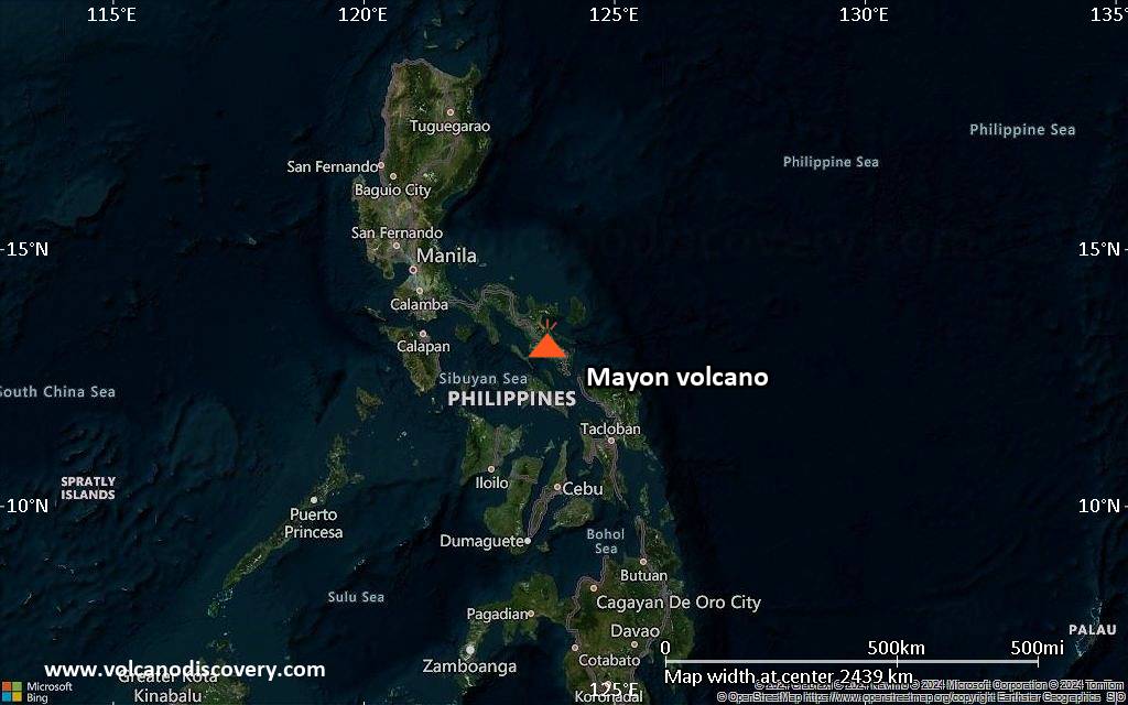
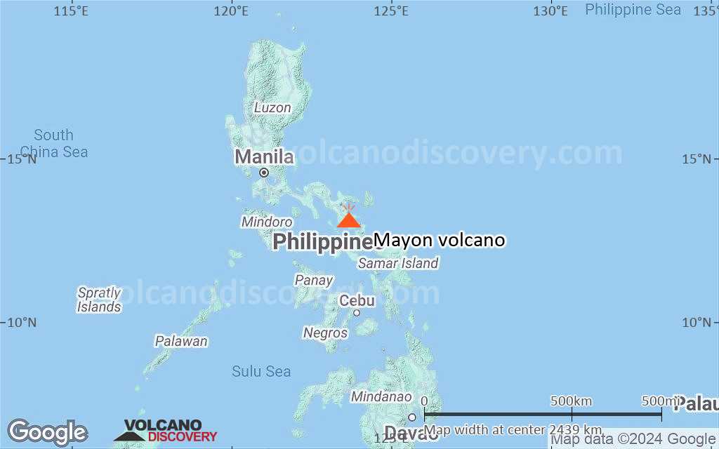
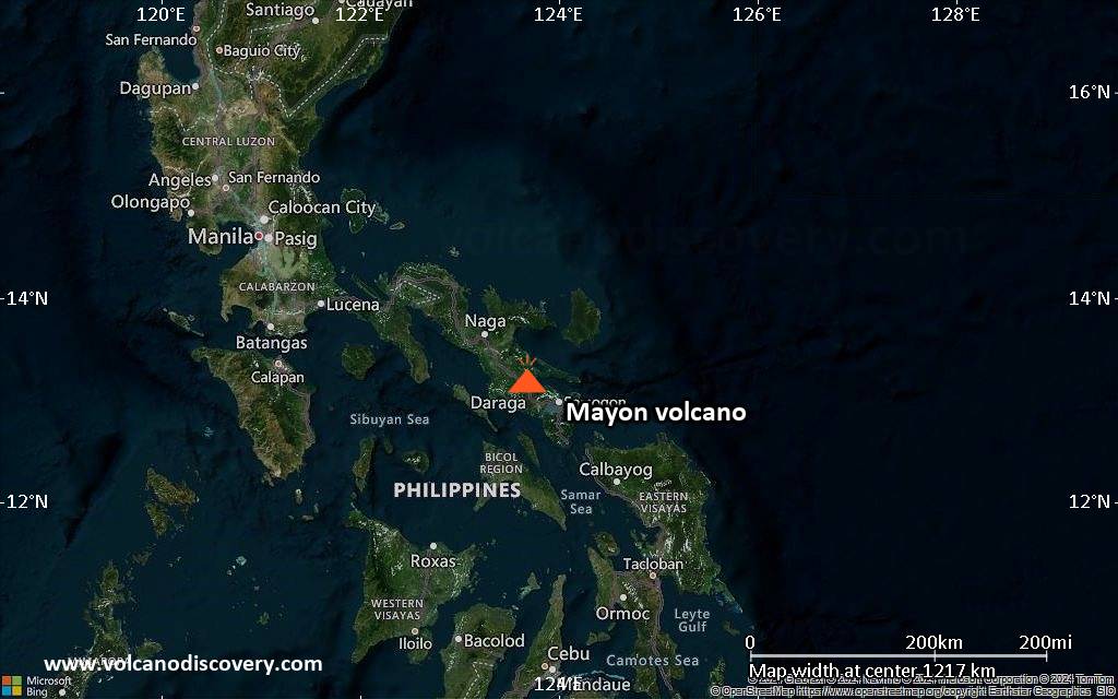
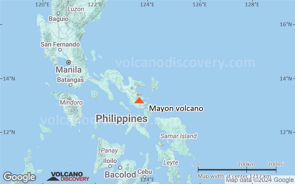
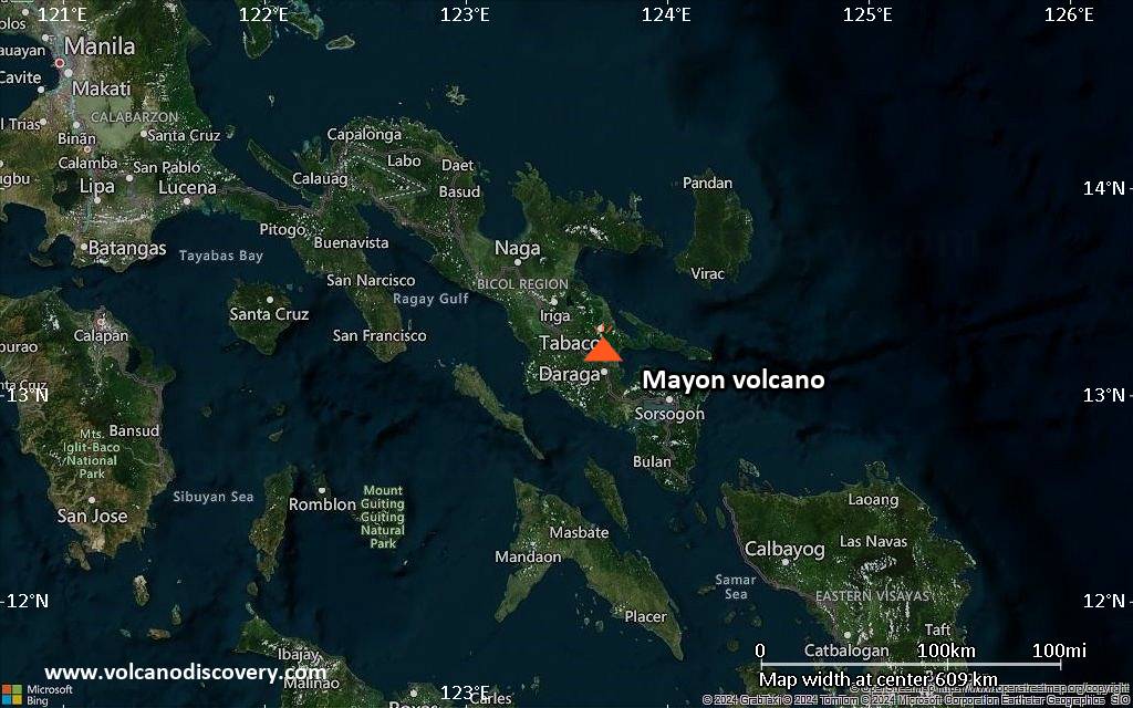
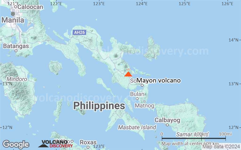
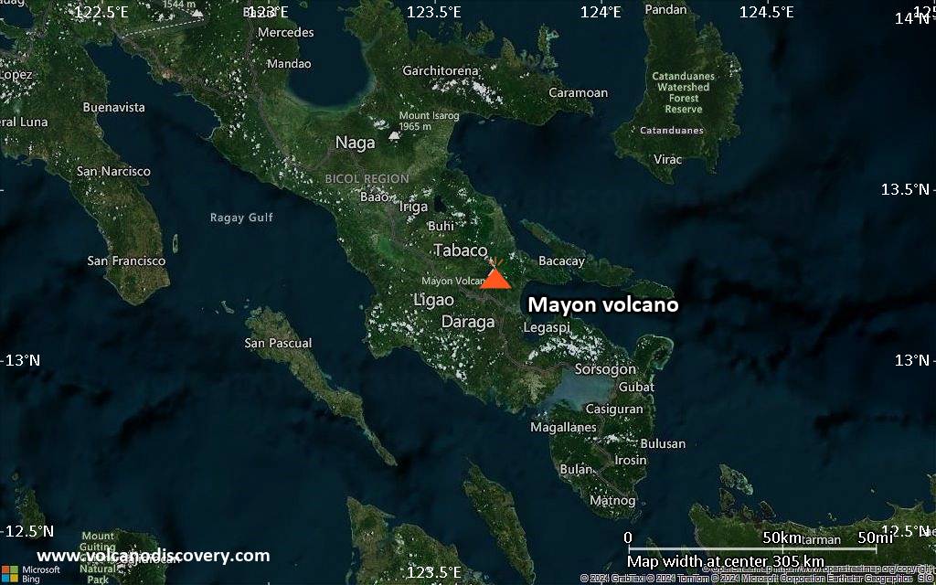
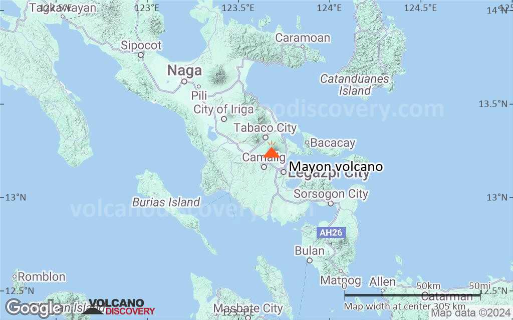
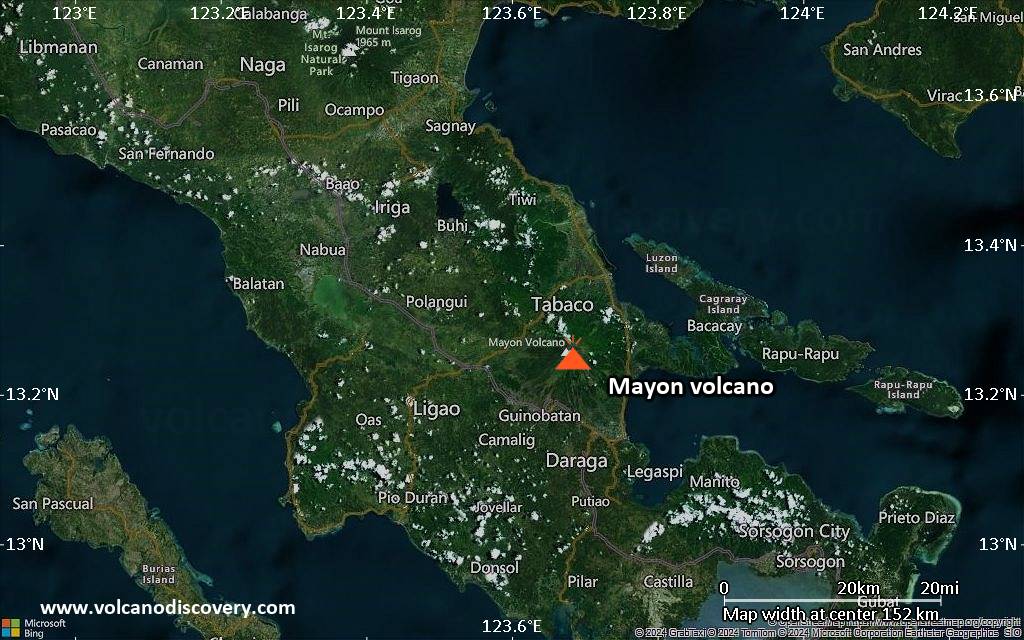
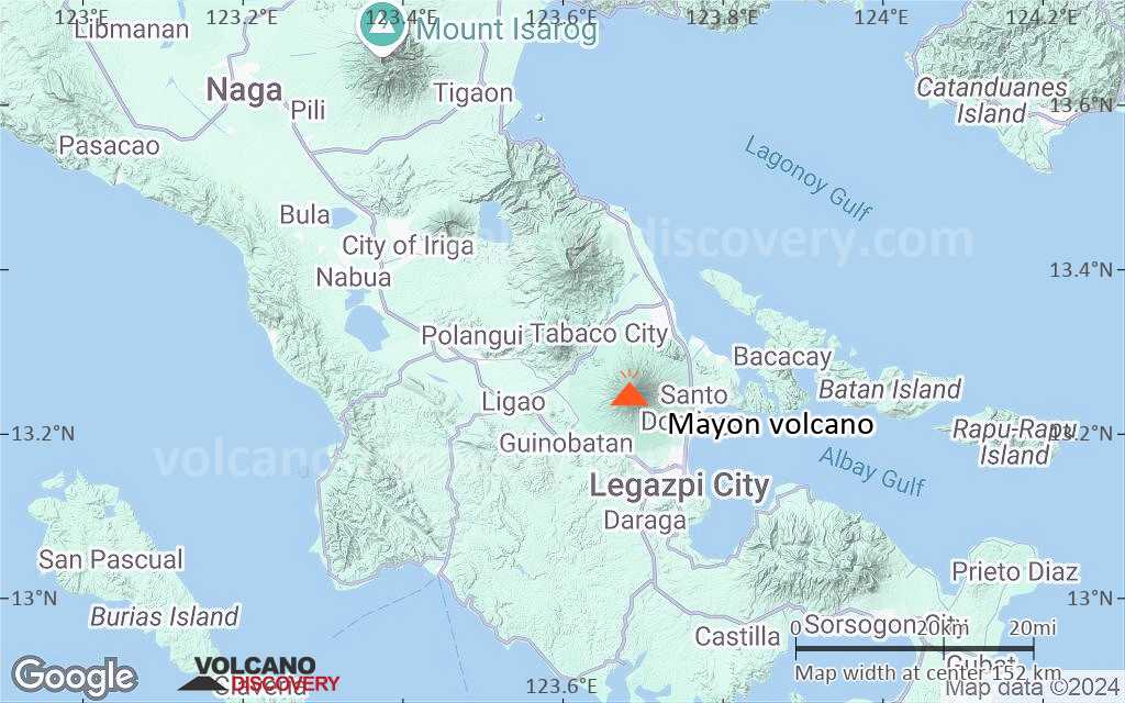
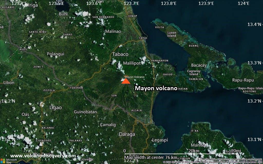
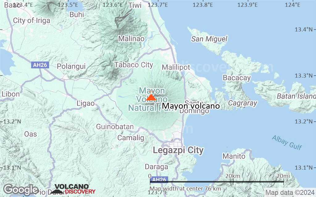
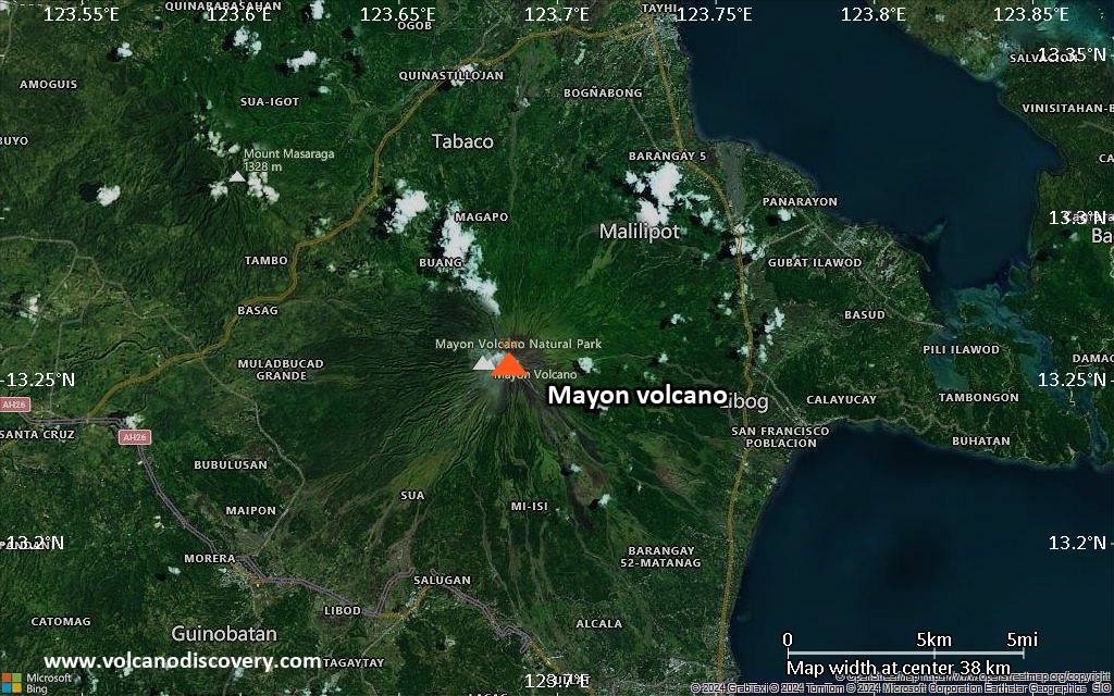
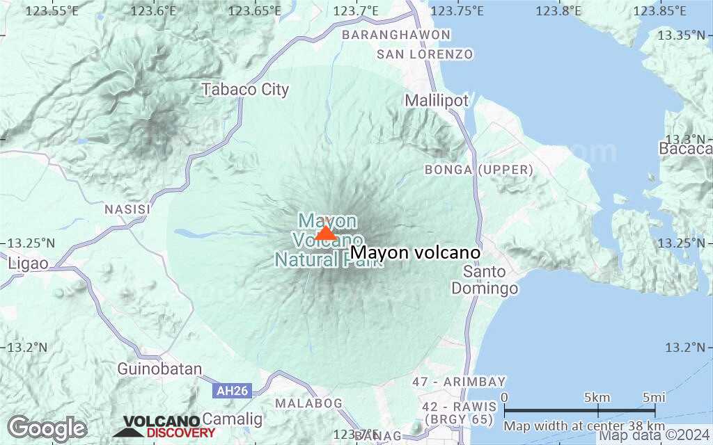
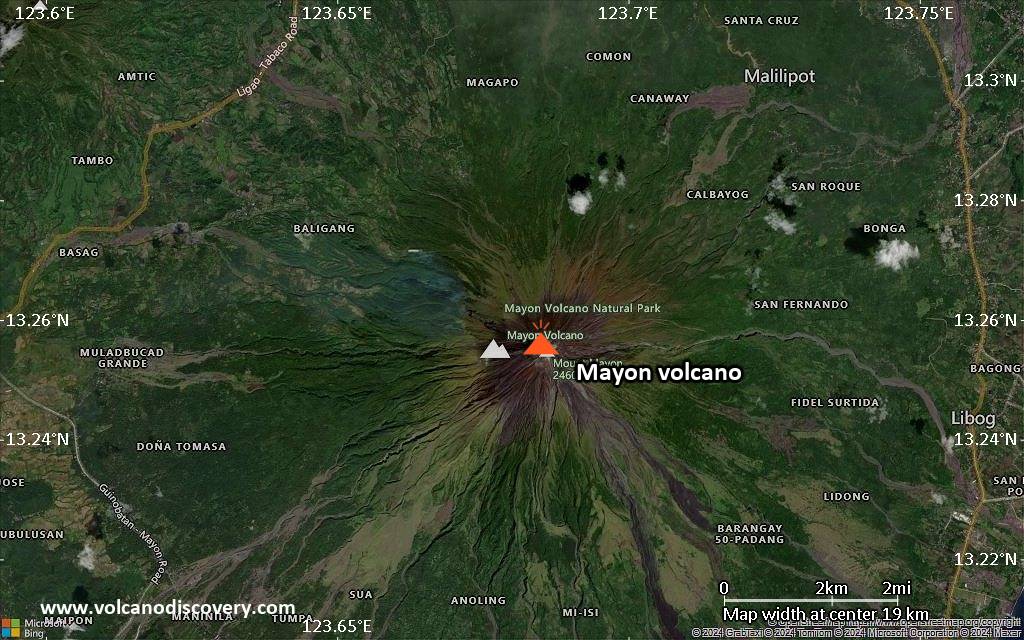
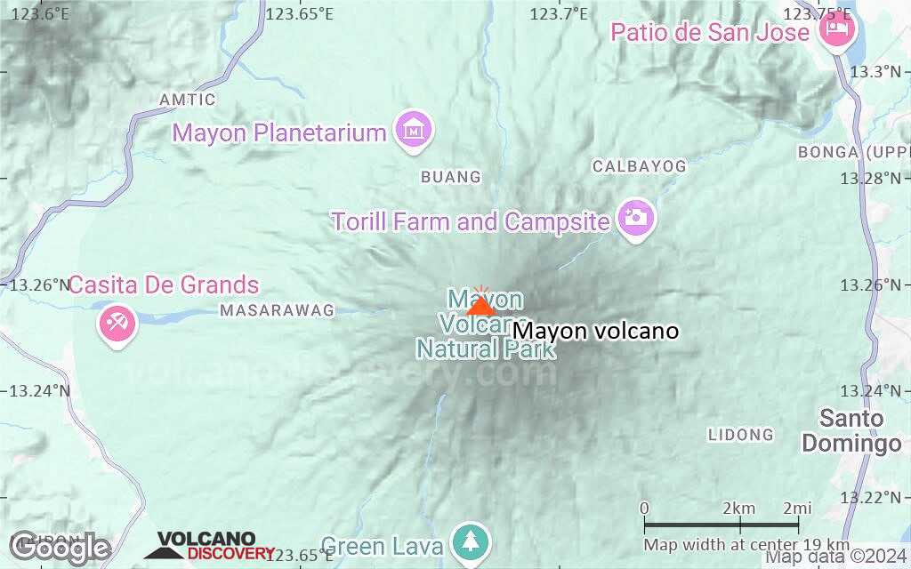
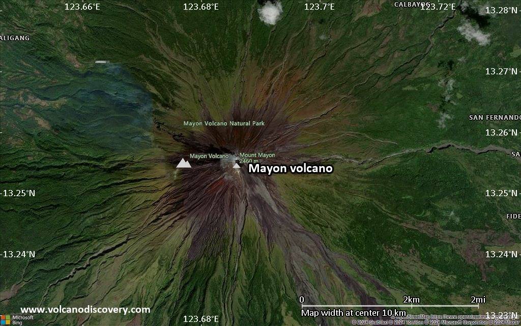
| RSS | EN | DE | EL | ES | FR | IT | RU

Mayon Volcano

Updated: May 22, 2025 02:21 GMT -
Stratovolcano
Luzon Island, Philippines, 13.26°N / 123.69°E
Summit height: 2462 m / 8,077 ft
Current status: minor activity or eruption warning (3 out of 5)
Last update: 24 Jul 2024 (Smithsonian / USGS Weekly Volcanic Activity Report)
The majestic, perfectly symmetrical Mayon stratovolcano seen from the northwest during its eruption in 2018.

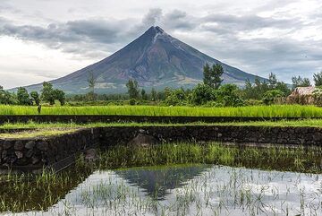
Mayon, the most famous of the active volcanoes of the Philippines, is a perfect stratovolcano rising to 2462 m on Luzon Island. It erupts very frequently.

[smaller] [larger]
Typical eruption style: Explosive.
Mayon volcano eruptions: 1616, 1766, 1800, 1811(?), 1814, 1827, 1834, 1839, 1845, 1846, 1851, 1853, 1855, 1857, 1858, 1859, 1860, 1861, 1862, 1863(?), 1868, 1871-72, 1872, 1873, 1876, 1876, 1881-82, 1885, 1886-87, 1888, 1890, 1891-92, 1893, 1895, 1896, 1897, 1900, 1902(?), 1928, 1928, 1939, 1941, 1943, 1947, 1968, 1978, 1984, 1993, 1999-2000, 2001, 2002, 2003, 2003(?), 2004, 2006, 2009, 2013, 2018

Latest nearby earthquakes

Date and TimeMag / DepthDistance / Location
May 20, 06:27 pm (Universal Time)
1.8

34 km
29 km (18 mi) to the SE 20 km east of Legaspi, Province of Albay, Bicol, Philippines 1 reportInfo

Background

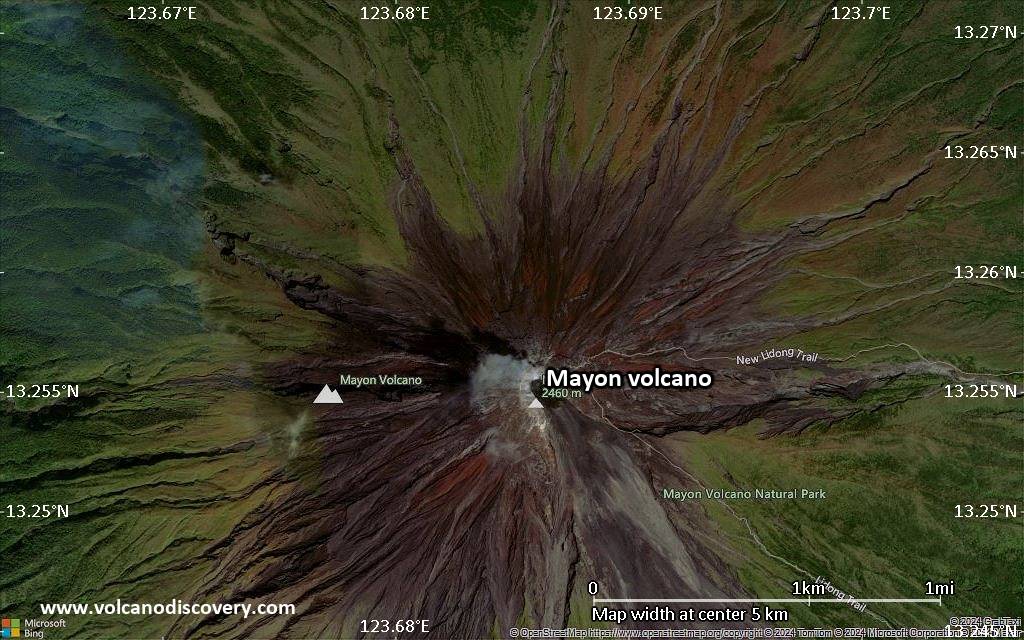
Mayon is the archetype of a symmetrical stratovolcano and one of the world most active ones. It has frequent eruptions producing pyroclastic flows, mud flows and ash falls that repeatedly triggered large-scale evacuations. Mayon's most violent eruption, in 1814, killed more than 1200 people and devastated several towns.
the volcano rises 2462 m above the Albay Gulf and has very steep upper slopes averaging 35-40 degrees capped by a small summit crater.
Historical records of eruptions date back to 1616 and range from strombolian to basaltic plinian, with cyclical activity beginning with basaltic eruptions, followed by longer term andesitic lava flows. Eruptions occur predominately from the central conduit and have also produced lava flows that travel far down the flanks. Pyroclastic flows and mudflows have commonly swept down many of the approximately 40 ravines that radiate from the summit and have often devastated populated lowland areas.
---
Source: adapted from GVP / Smithsonian Institution

Mayon Volcano Photos

Significant volcanic eruptions: Mayon volcano

In the past 10,000 years, Mayon has had at least 65 confirmed volcanic eruptions, out of which 63 are documented by historical records, while the others can be inferred from geological evidence.
Additionally, there are 4 uncertain or discredited eruptions from Mayon volcano.
The table below lists all known eruptions (date in bold face) of Mayon volcano since around 2000. Updates on the most recent volcanic activity of Mayon can be found on the news page of Mayon volcano.
DateNoteVEIDeathsDamage
2024 May 30 - Jul 18
Historical obs./docs.
2
2023 Apr 27 ±2 d. - 2024 or later
Historical obs./docs.
2
2022 Jun 6 - Oct 7
Historical obs./docs.
0
2018 Jan 13 - 2019 Oct 12Summit crater
Historical obs./docs.
2
2018 Jan 13
(eruption 2018 Jan 13 - 2019 Oct 12)
Historical obs./docs.
2
moderate
Info
2014 Aug 12 - Oct 19Summit crater
Historical obs./docs.
0
2013 May 7Summit crater
Historical obs./docs.
2
2013 May 7
(eruption 2013 May 7)
Historical obs./docs.
05
Info
2009 Sep 15 - 2010 Jan 1 ?
Historical obs./docs.
2
2008 Aug 10
Historical obs./docs.
1
2006 Nov 30
(eruption 2006 Jul 13 - Oct 1)
Historical obs./docs.
11,266
light
Info
2006 Jul 13 - Oct 1
Historical obs./docs.
1
2006 Feb 21 - Feb 23
Historical obs./docs.
1
2005 Aug 17 or before
Historical obs./docs.
0
2004 Jun 3 - Sep 12 ?
Historical obs./docs.
1
?? 2003 Oct 8 - Oct 11 ?
Uncertain Eruption
?
2003 Mar 17 - May 14
Historical obs./docs.
2
2002 Oct 11
Historical obs./docs.
1
2001 Jan 8 - Aug 8
Historical obs./docs.
3
2000 Jul 16 - Aug 31
Historical obs./docs.
2
1999 Jun 22 - 2000 Mar 19
Historical obs./docs.
3
Remark:
Our list of volcanic eruptions closely follows the database of eruptions of the Smithsonian's Global Volcanism Project (GVP), the internationally most recognized data source for volcanic eruptions, but also includes significant eruptive episodes or related volcano events. "Volcanic eruptions" are usually to be understood as sequences of individual eruptive episodes that can follow each other, or even overlap (if several vents are involved), and can last many years, decades or even longer. For example, the current activity of Stromboli volcano is understood as a single eruption that has been ongoing since 1934.
Sources: NOAA National Centers for Environmental Information (NCEI), Global Significant Volcanic Eruptions Database. doi:10.7289/V5TD9V7K | Global Volcanism Project / Smithsonian Institution

Mayon Volcano FAQ

+When was the last eruption of Mayon volcano?
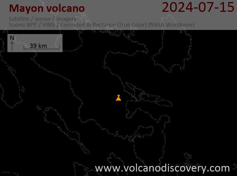
+How often does Mayon volcano erupt?

+How active is Mayon volcano at present?

+When was the largest eruption of Mayon volcano?

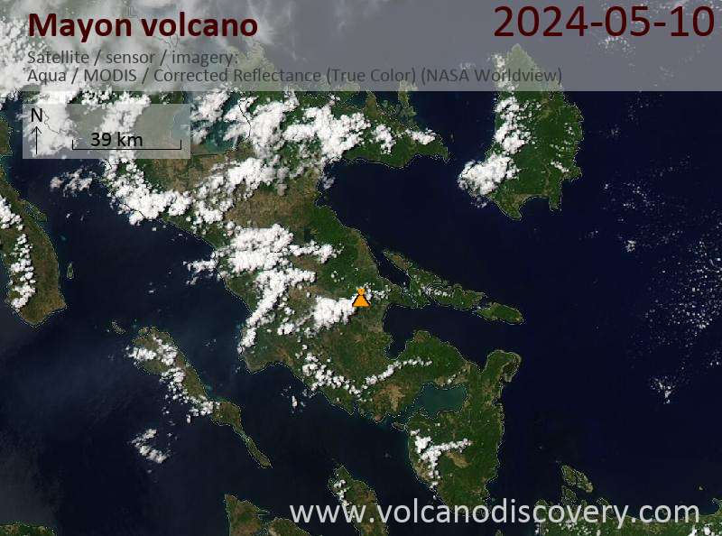
Latest satellite images

Mayon satellite image sat1Mayon satellite image sat2

Mayon Volcano Maps

Below is a selection of maps showing the location and surroundings of the volcano at various resolutions based on aerial-imagery / terrain maps. Feel free to use them for non-commercial purposes on your blog or website as long as you credit them with a link back to this page (click to copy it).
Satellite/aerial-type map of Mayon volcano (world scale)
Terrain-type map of Mayon volcano (world scale)
Satellite/aerial-type map of Mayon volcano (region scale large)
Terrain-type map of Mayon volcano (region scale large)
Satellite/aerial-type map of Mayon volcano (region scale medium)
Terrain-type map of Mayon volcano (region scale medium)
Satellite/aerial-type map of Mayon volcano (region scale small)
Terrain-type map of Mayon volcano (region scale small)
Satellite/aerial-type map of Mayon volcano (local scale large)
Terrain-type map of Mayon volcano (local scale large)
Satellite/aerial-type map of Mayon volcano (local scale medium)
Terrain-type map of Mayon volcano (local scale medium)
Satellite/aerial-type map of Mayon volcano (local scale small)
Terrain-type map of Mayon volcano (local scale small)
Satellite/aerial-type map of Mayon volcano (scale of 10s of km)
Terrain-type map of Mayon volcano (scale of 10s of km)
Satellite/aerial-type map of Mayon volcano (scale of 20-40 km)
Terrain-type map of Mayon volcano (scale of 20-40 km)
Satellite/aerial-type map of Mayon volcano (scale of approx. 10-20 km)
Terrain-type map of Mayon volcano (scale of approx. 10-20 km)
Satellite/aerial-type map of Mayon volcano (scale of 5-10 km)
Satellite/aerial-type map of Mayon volcano (scale of few kilometers)
Volcanoes & Earthquakes - new app for Android
Guaranteed tours
9-25 Jun 2025: Volcanoes and Spices - Sulawesi/Halmahera (Indonesia)
7-22 Jul 2025: From Krakatau to Bali - Java (Indonesia)
7-23 Jul 2025: Volcanoes and Spices - Sulawesi/Halmahera (Indonesia)
1-17 Aug 2025: Volcanoes and Spices - Sulawesi/Halmahera (Indonesia)
1-14 Oct 2025: Desert, salt and volcanoes - Danakil desert (Ethiopia)
4-12 Oct 2025: From Stromboli to Etna - Sicily and Eolian Islands (Italy)
6-21 Oct 2025: From Krakatau to Bali - Java (Indonesia)
3-19 Nov 2025: Volcanoes and Spices - Sulawesi/Halmahera (Indonesia)
= spaces available   = guaranteed   = few spaces left   = booked out
Wed, 24 Jul 2024, 14:00

Mayon (Philippines) volcano - Smithsonian / USGS Weekly Volcanic Activity Report for 17 July-23 July 2024 (New Activity / Unrest)

PHIVOLCS reported that 0-3 daily rockfalls and volcanic earthquakes at Mayon were detected by the seismic network during 16-22 July. Moderate levels of emissions drifted mainly NW, W, and SW and occasionally ENE. Faint crater incandescence was only visible using a telescope. ... Read all

On this page:

Try our free app!
Volcanoes & Earthquakes - new app for Android
Android | iOS version

More on VolcanoDiscovery

Why is there advertising on this site?

Support us - Help us upgrade our services!

We truly love working to bring you the latest volcano and earthquake data from around the world. Maintaining our website and our free apps does require, however, considerable time and resources.
We need financing to increase hard- and software capacity as well as support our editor team. We're aiming to achieve uninterrupted service wherever an earthquake or volcano eruption unfolds, and your donations can make it happen! Every donation will be highly appreciated. If you find the information useful and would like to support our team in integrating further features, write great content, and in upgrading our soft- and hardware, please make a donation (PayPal).

Planned features:Thanks to your past donations, these features have been added recently:
Download and Upgrade the Volcanoes & Earthquakes app to get one of the fastest seismic and volcano alerts online:
Android | IOS
Thank you!
Sources: VolcanoDiscovery / VolcanoAdventures and other sources as noted.
Use of material: Most text and images on our websites are owned by us. Re-use is generally not permitted without authorization. Contact us for licensing rights.
Volcanoes & Earthquakes
VolcanoDiscovery Home
Volcanoes | Earthquakes | Photos | Volcano News | | Shop | App
Adventure & Study Travel
Tours to Volcanoes and Volcanic Areas: walking tours, photo tours, study tours
Tours & Dates | FAQ | About us
Get our newsletter!
Company info
Contact | Legal info | Terms & conditions
Follow us
Follow us on facebook Follow us on Instagram Follow us on Bluesky Follow us on Twitter Visit our Youtube channel
EN | DE | EL | ES | FR | IT | RU
VolcanoDiscovery GmbH, Germany, Reg. nr.: HRB 103744, EU Tax Id: DE 297 465 123 owned and created by
Dr. Tom Pfeiffer, volcanologist, volcano photographer, tour organizer member of
IAVCEI
IAVCEI
Vulkanologische Gesellschaft
Volcanological Society
Ecotourism Greece
Ecotourism Greece
RUV insurance
Insured by R+V
VolcanoDiscovery © 2004- All Rights Reserved | Privacy - Cookie Settings