


Mayor Island Volcano
Updated: Jun 12, 2025 18:11 GMT -
Shield volcano
New Zealand, -37.28°S / 176.25°E 
Summit height: 355 m / 1,165 ft
Current status: normal or dormant (1 out of 5)
[smaller] [larger]
Mayor Island volcano eruptions: 5060 BC ± 200 years
Latest nearby earthquakes
| Date and Time | Mag / Depth | Distance / Location | |||
|---|---|---|---|---|---|
| May 30, 03:09 pm (GMT +12) | 2.5 261 km | 19 km (12 mi) to the NW | Info | ||
Background
The small 4-km-wide Mayor Island, also known as Tuhua, in the Bay of Plenty is the emergent portion of a 15-km-wide compound peralkaline lava shield constructed between about 120,000 and 35,000 years ago. A 3-km-wide composite caldera was formed in two or three collapse events, the last of which took place about 6300 years ago, and was accompanied by a plinian eruption that produced tephra deposits up to 70 cm thick on mainland North Island. Post-caldera eruptions generated a series of lava domes and flows emplaced from NNE-trending vents within the caldera that have filled it to depths of at least 180 m. The latest eruption of Mayor Island has not been dated, but was considered by Houghton et al. (1992) to perhaps have occurred only 500-1000 years ago.---
Smithsonian / GVP volcano information
Significant volcanic eruptions: Mayor Island volcano
No historic eruptions are known from Mayor Island volcano, but evidence from at least 2 eruptions during the past 10,000 years can be found in the geological record.
The table below lists all known eruptions (date in bold face) of Mayor Island volcano in historic times and during the past 10,000 years. Updates on the most recent volcanic activity of Mayor Island can be found on the news page of Mayor Island volcano.
| Date | Note | VEI | Deaths | Damage | |
|---|---|---|---|---|---|
| South end of caldera, Taratimi Bay | 5 | ||||
| SE caldera rim | ? | ||||
Remark:
Our list of volcanic eruptions closely follows the database of eruptions of the Smithsonian's Global Volcanism Project (GVP), the internationally most recognized data source for volcanic eruptions, but also includes significant eruptive episodes or related volcano events. "Volcanic eruptions" are usually to be understood as sequences of individual eruptive episodes that can follow each other, or even overlap (if several vents are involved), and can last many years, decades or even longer. For example, the current activity of Stromboli volcano is understood as a single eruption that has been ongoing since 1934.
Sources: NOAA National Centers for Environmental Information (NCEI), Global Significant Volcanic Eruptions Database. doi:10.7289/V5TD9V7K | Global Volcanism Project / Smithsonian Institution
Mayor Island Volcano FAQ
+When was the last eruption of Mayor Island volcano?
The last confirmed eruption of Mayor Island occurred around 5060 BC.
+When was the largest eruption of Mayor Island volcano?
The largest eruption known from the younger geological history of Mayor Island volcano occurred around 5060 BC. It only has a VEI (Volcanic Explosivity Index) of , likely because it was a mainly effusive eruption generating lava flows but very little ash.
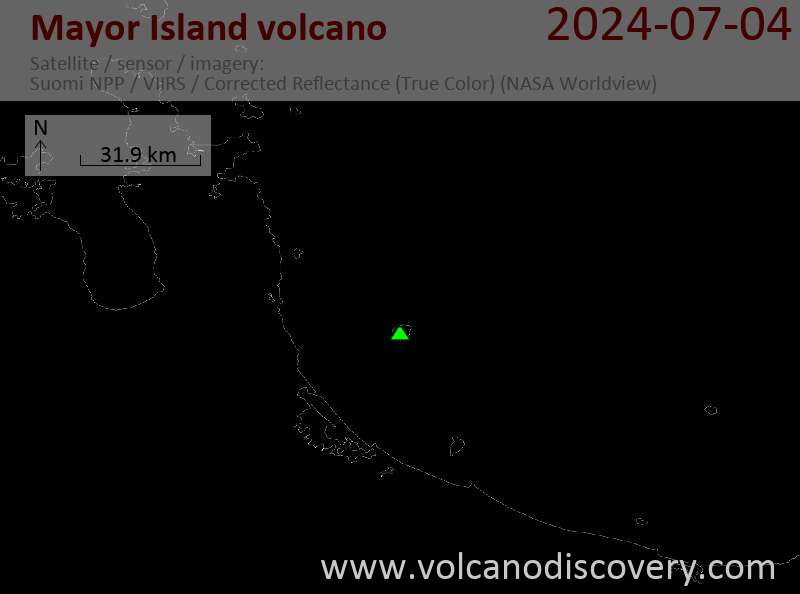
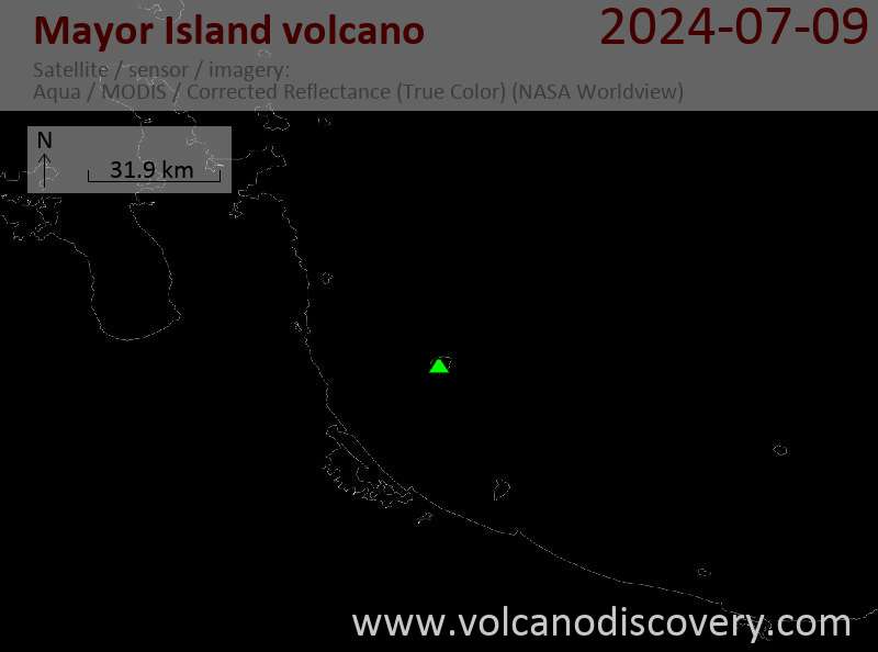
Latest satellite images
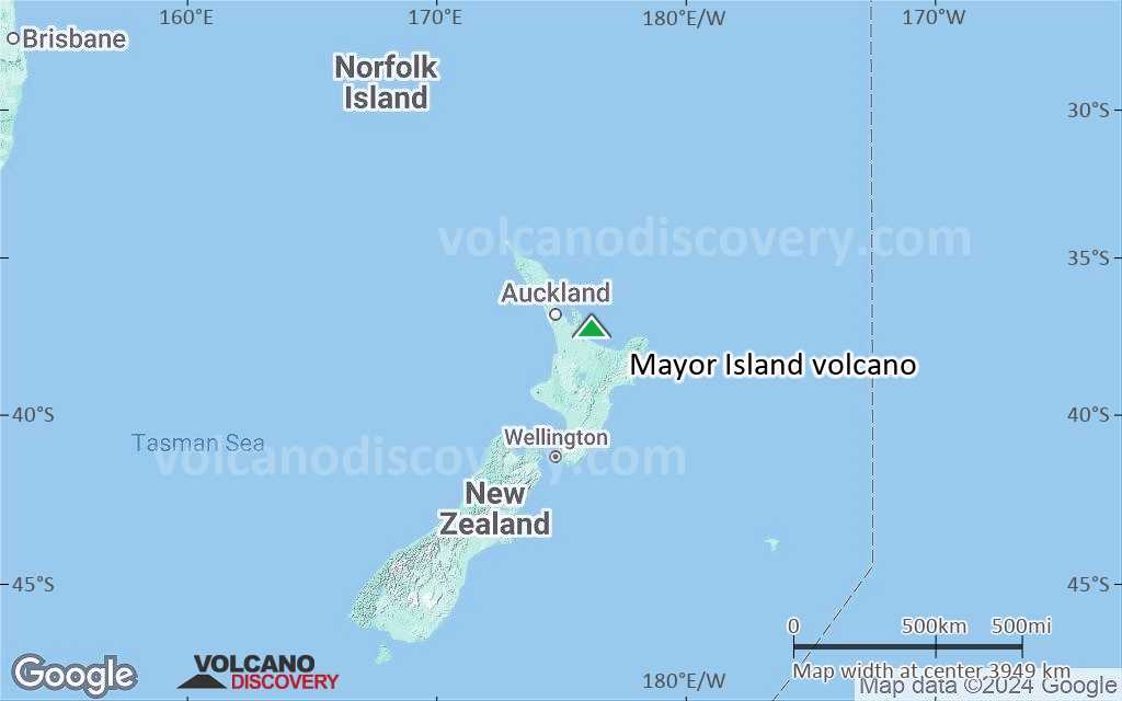
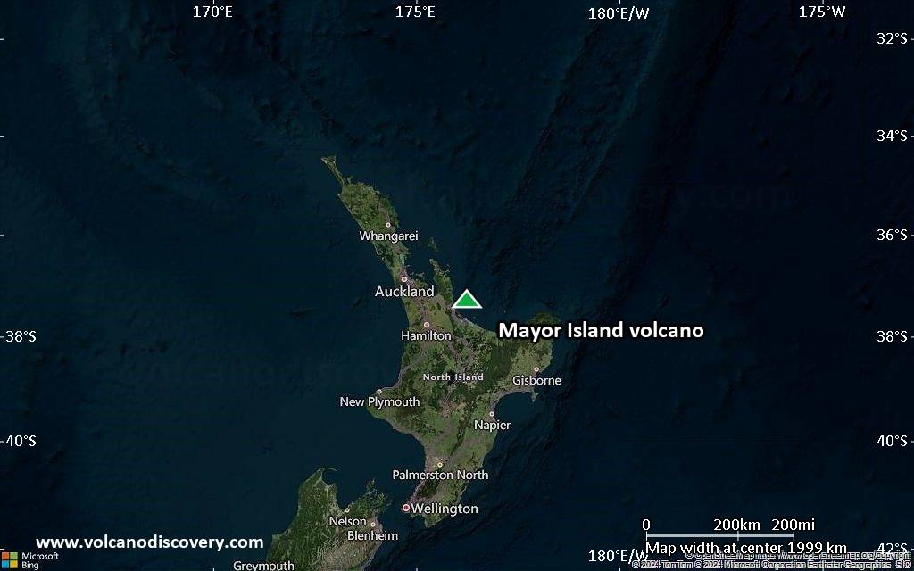
Mayor Island Volcano Maps
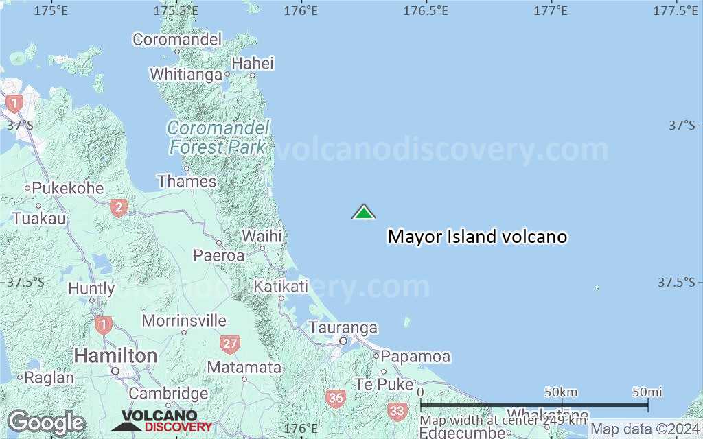
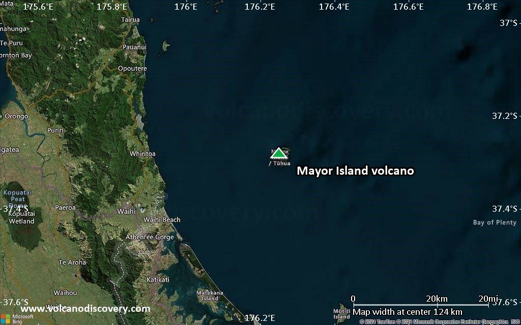
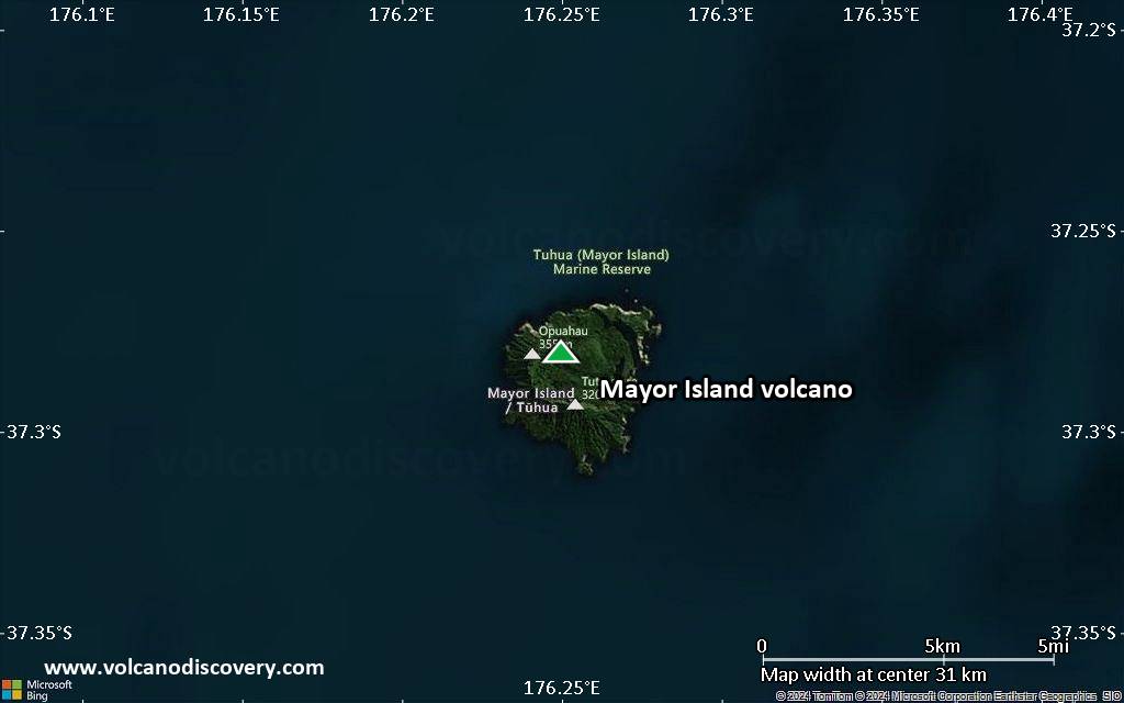
Below is a selection of maps showing the location and surroundings of the volcano at various resolutions based on aerial-imagery / terrain maps. Feel free to use them for non-commercial purposes on your blog or website as long as you credit them with a link back to this page (click to copy it).

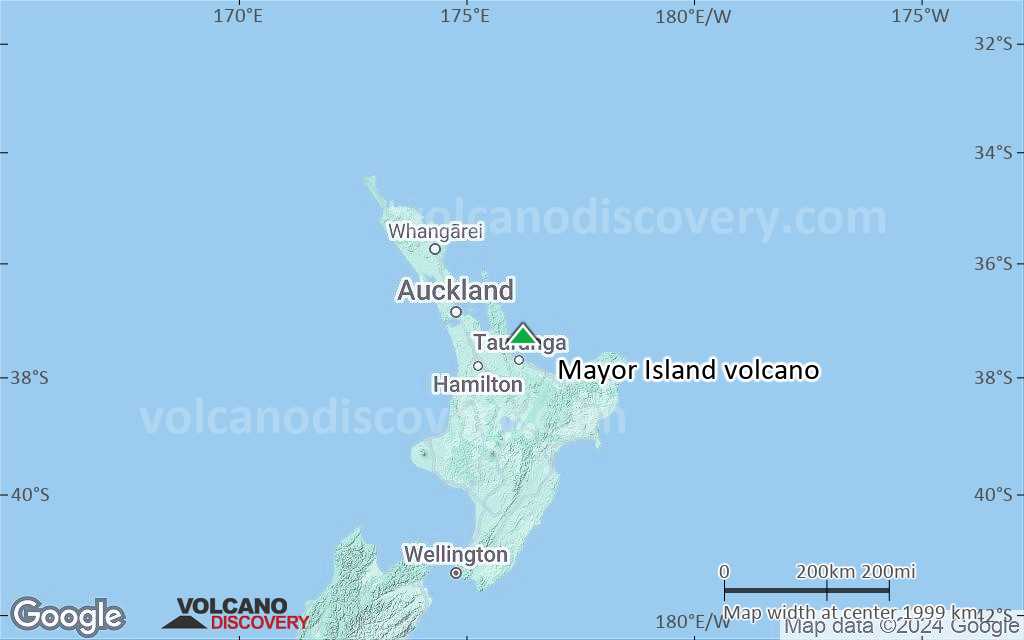
Satellite/aerial-type map of Mayor Island volcano (world scale)

Terrain-type map of Mayor Island volcano (world scale)

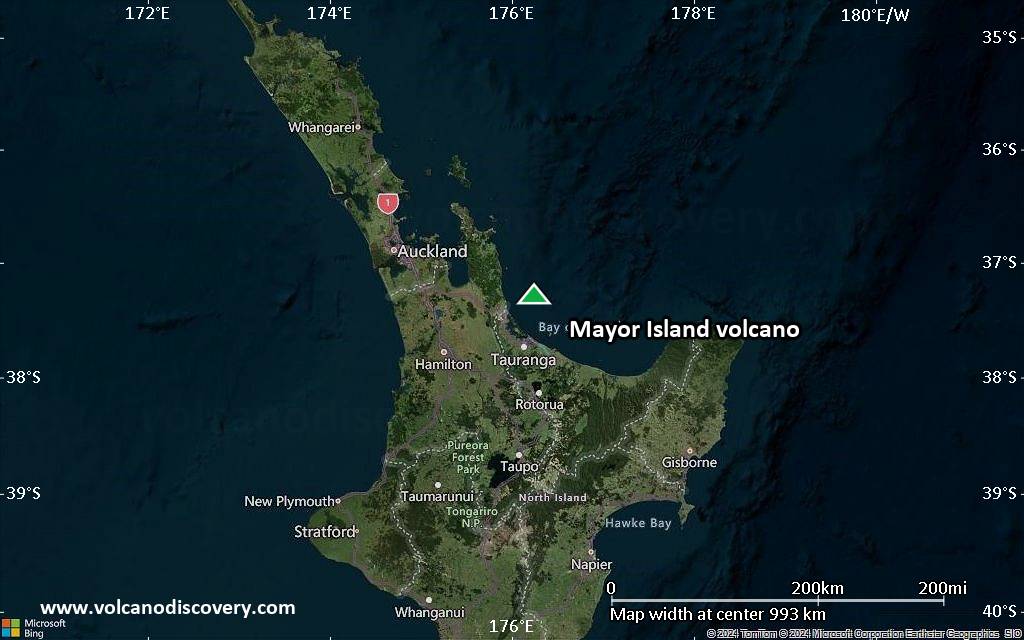
Satellite/aerial-type map of Mayor Island volcano (region scale large)
Terrain-type map of Mayor Island volcano (region scale large)
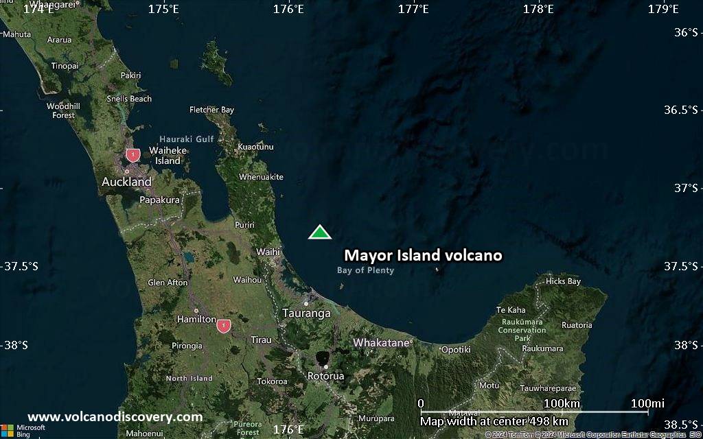
Satellite/aerial-type map of Mayor Island volcano (region scale medium)
Terrain-type map of Mayor Island volcano (region scale medium)
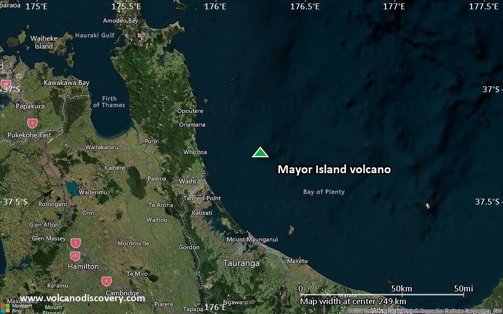
Satellite/aerial-type map of Mayor Island volcano (region scale small)

Terrain-type map of Mayor Island volcano (region scale small)
Satellite/aerial-type map of Mayor Island volcano (local scale large)

Terrain-type map of Mayor Island volcano (local scale large)
Satellite/aerial-type map of Mayor Island volcano (local scale medium)
Terrain-type map of Mayor Island volcano (local scale medium)
Satellite/aerial-type map of Mayor Island volcano (local scale small)

Terrain-type map of Mayor Island volcano (local scale small)

Satellite/aerial-type map of Mayor Island volcano (scale of 10s of km)

Terrain-type map of Mayor Island volcano (scale of 10s of km)
Satellite/aerial-type map of Mayor Island volcano (scale of 20-40 km)

Terrain-type map of Mayor Island volcano (scale of 20-40 km)

Satellite/aerial-type map of Mayor Island volcano (scale of approx. 10-20 km)

Terrain-type map of Mayor Island volcano (scale of approx. 10-20 km)

Satellite/aerial-type map of Mayor Island volcano (scale of 5-10 km)

Satellite/aerial-type map of Mayor Island volcano (scale of few kilometers)


