


McCoy Volcano
Updated: Nov 13, 2025 06:58 GMT -
Pyroclastic cone(s)
Colorado, United States, 39.97°N / -106.7°W 
Summit height: 2402 m / 7881 ft
Current status: (probably) extinct (0 out of 5)
[smaller] [larger]
McCoy volcano eruptions: None during the past 10,000 years
Less than few million years ago (Pleistocene)
Latest nearby earthquakes
| Date and Time | Mag / Depth | Distance / Location | |||
|---|---|---|---|---|---|
Background
A 6.5-km-long basaltic lava flow from two scoria cones is Potassium-Argon dated 0.64 +/- 0.2 million years ago (Larson et al. 1975).---
Source: Smithsonian / GVP volcano information
Latest satellite images
McCoy Volcano Maps
Below is a selection of maps showing the location and surroundings of the volcano at various resolutions based on aerial-imagery / terrain maps. Feel free to use them for non-commercial purposes on your blog or website as long as you credit them with a link back to this page (click to copy it).
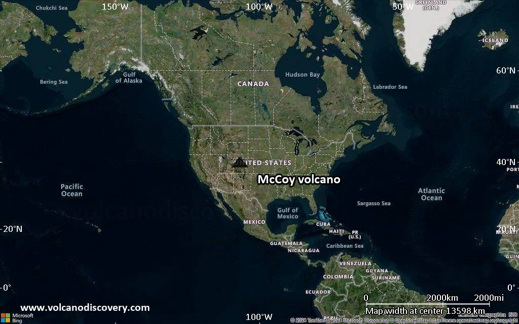
Satellite/aerial-type map of McCoy volcano (world scale)

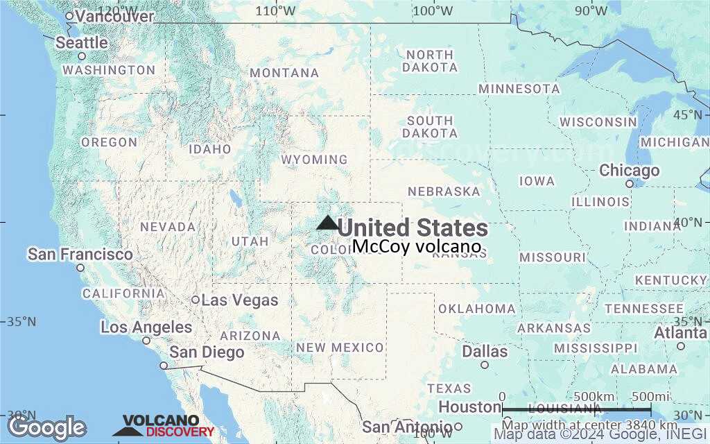
Terrain-type map of McCoy volcano (world scale)
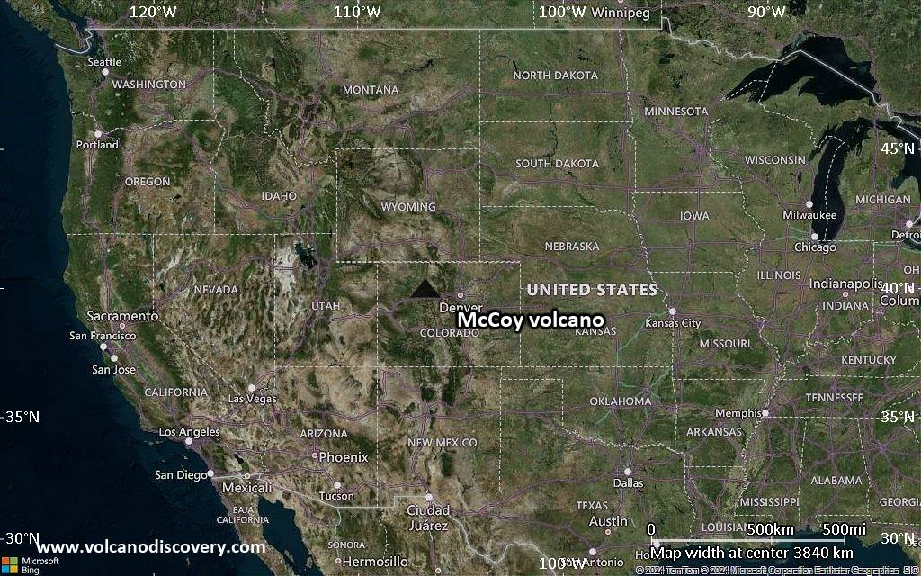
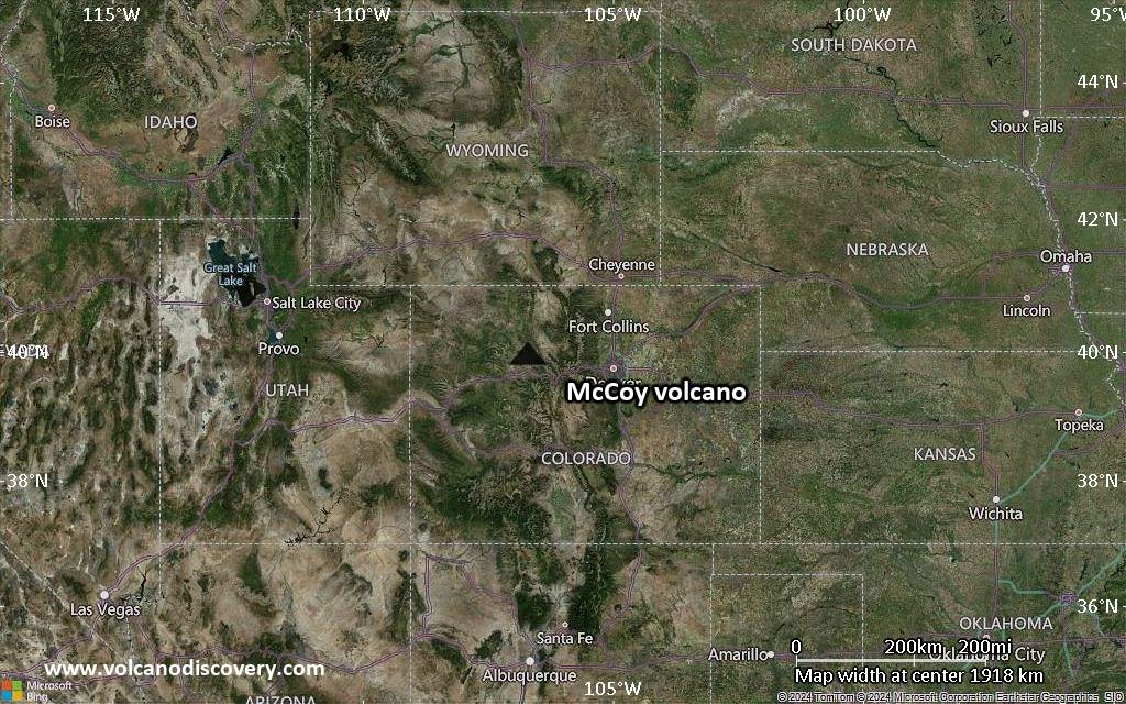
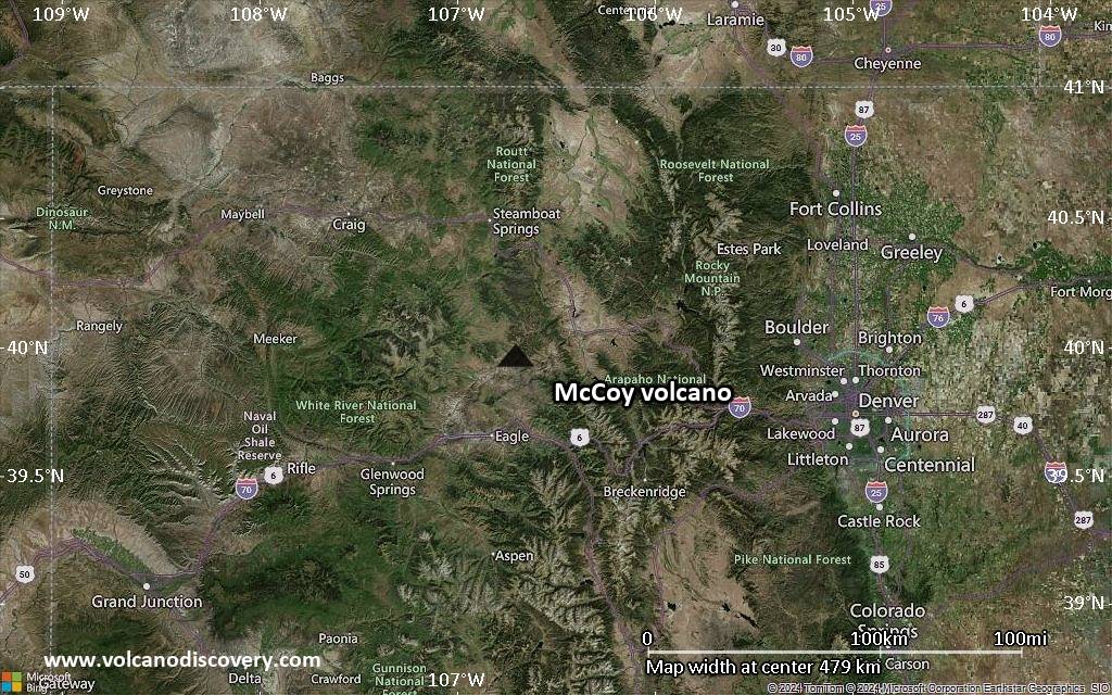
Satellite/aerial-type map of McCoy volcano (region scale large)
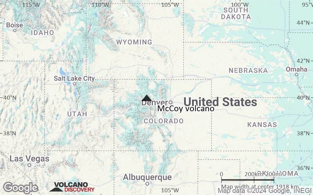
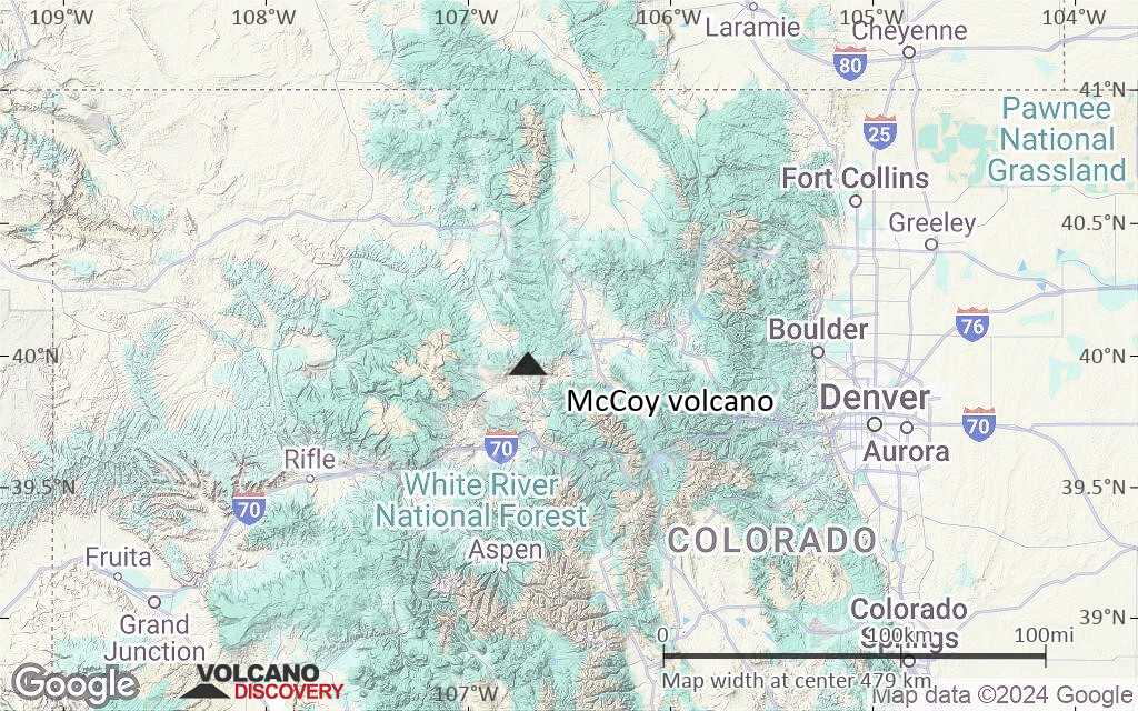
Terrain-type map of McCoy volcano (region scale large)
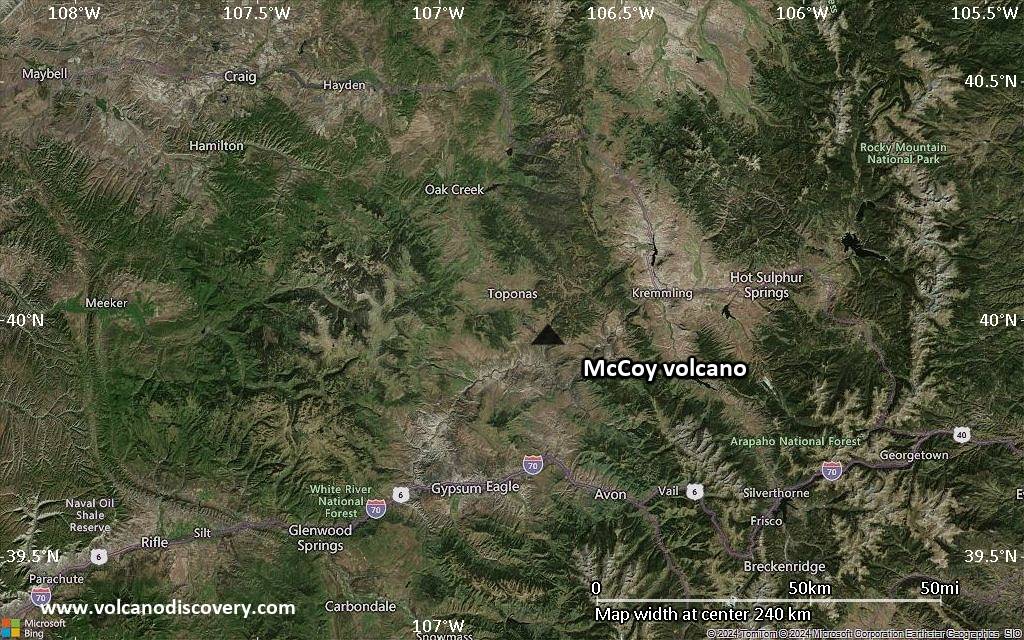
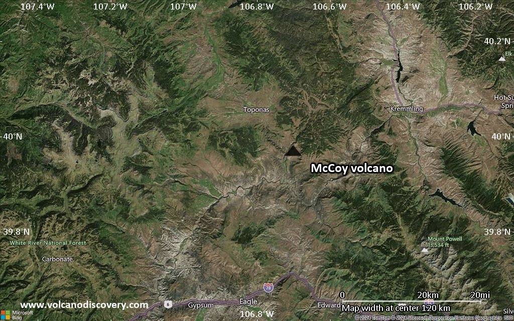
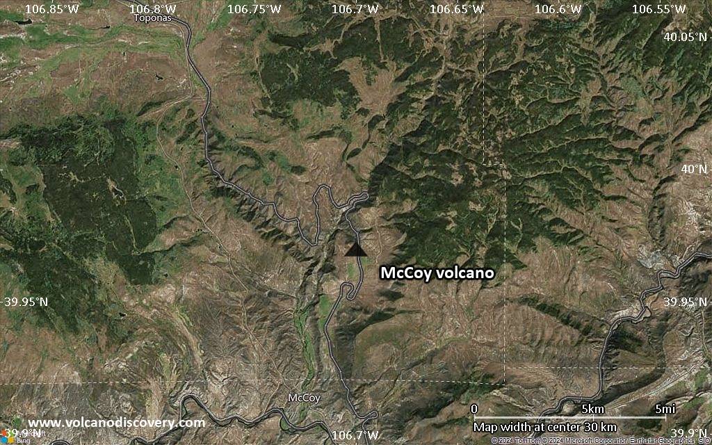
Satellite/aerial-type map of McCoy volcano (region scale medium)
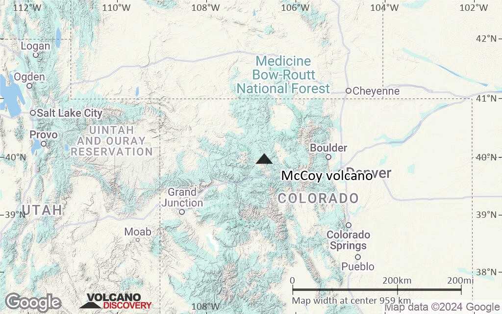
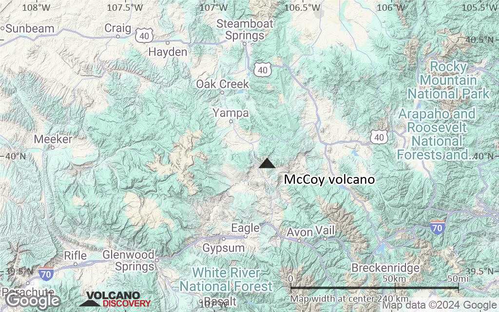
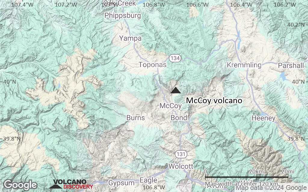
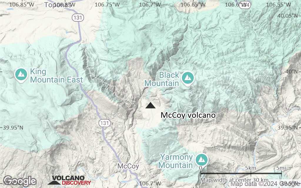
Terrain-type map of McCoy volcano (region scale medium)

Satellite/aerial-type map of McCoy volcano (region scale small)
Terrain-type map of McCoy volcano (region scale small)
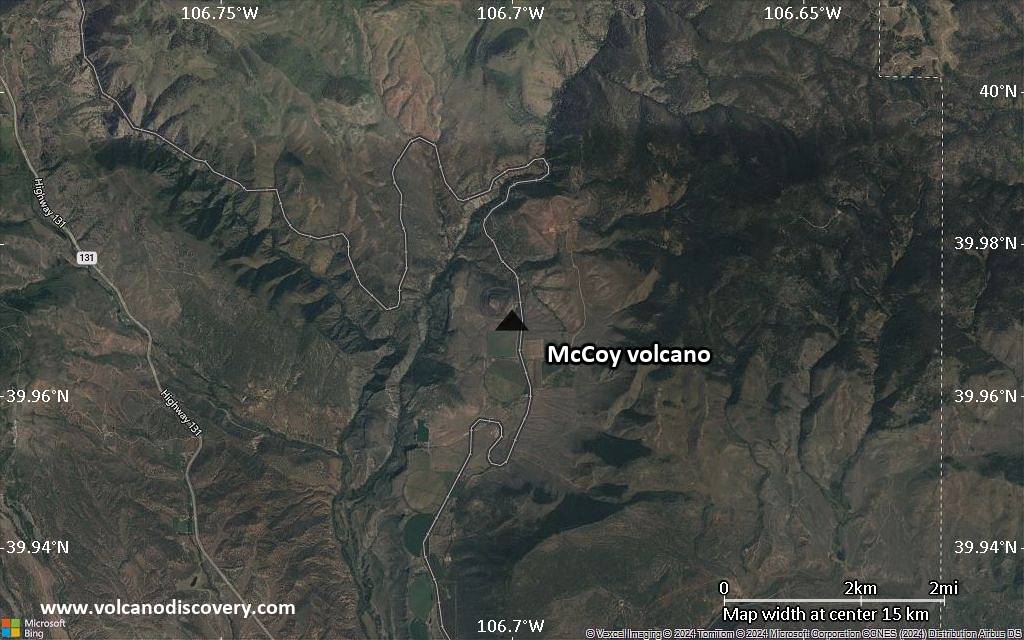
Satellite/aerial-type map of McCoy volcano (local scale large)
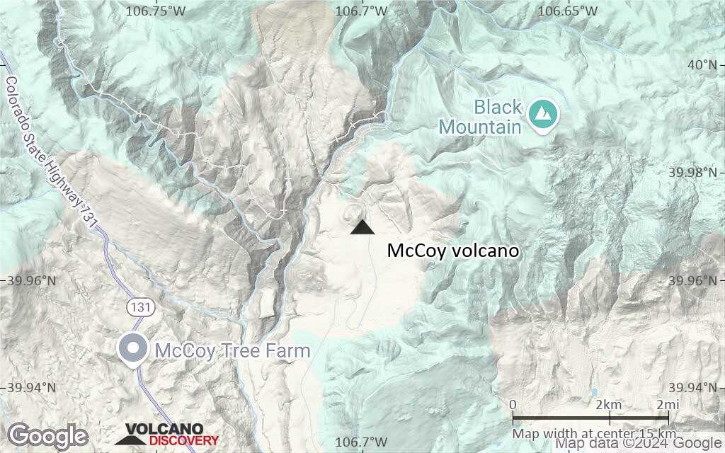
Terrain-type map of McCoy volcano (local scale large)
Satellite/aerial-type map of McCoy volcano (local scale medium)
Terrain-type map of McCoy volcano (local scale medium)
Satellite/aerial-type map of McCoy volcano (local scale small)
Terrain-type map of McCoy volcano (local scale small)
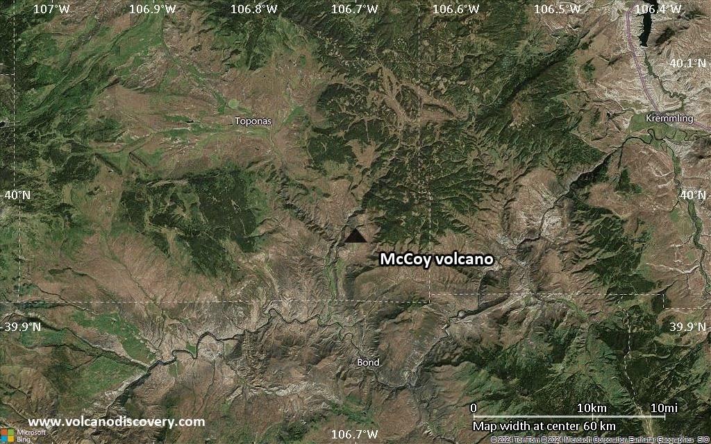
Satellite/aerial-type map of McCoy volcano (scale of 10s of km)
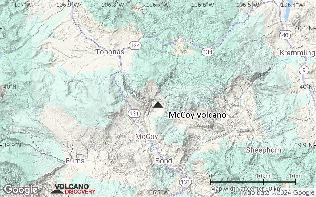
Terrain-type map of McCoy volcano (scale of 10s of km)
Satellite/aerial-type map of McCoy volcano (scale of 20-40 km)
Terrain-type map of McCoy volcano (scale of 20-40 km)
Satellite/aerial-type map of McCoy volcano (scale of approx. 10-20 km)
Terrain-type map of McCoy volcano (scale of approx. 10-20 km)
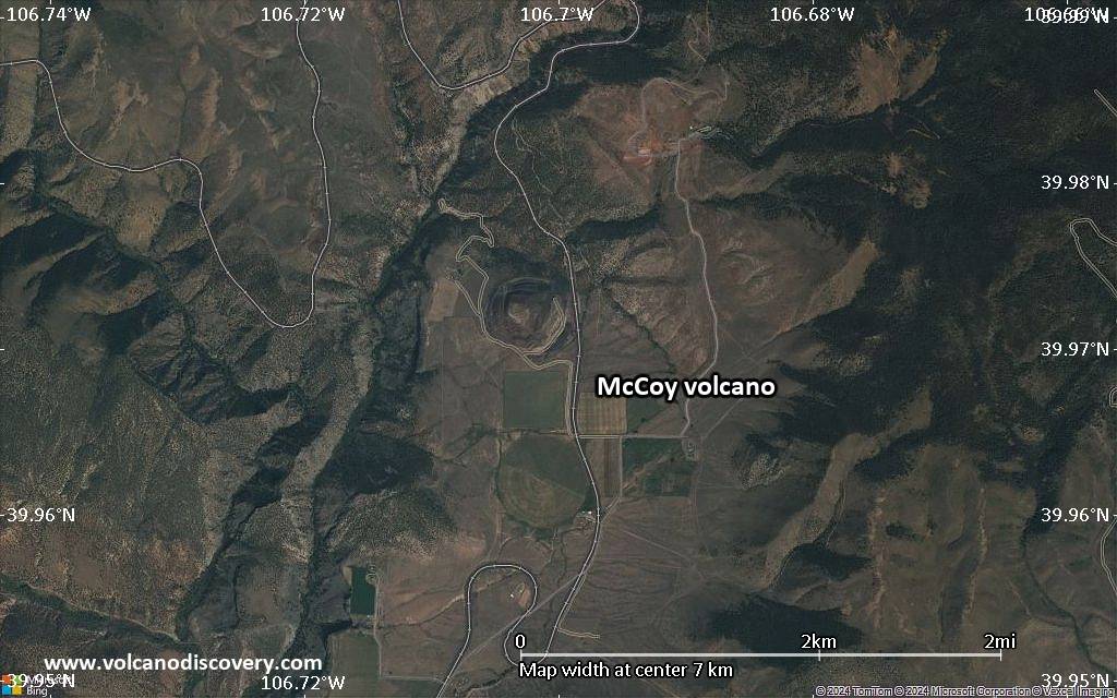
Satellite/aerial-type map of McCoy volcano (scale of 5-10 km)
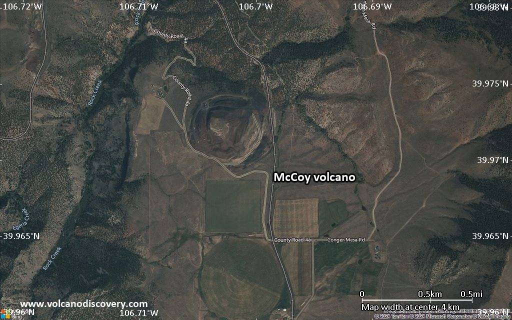
Satellite/aerial-type map of McCoy volcano (scale of few kilometers)


