


Mutnovsky Volcano
Updated: Aug 5, 2025 14:23 GMT -
Complex volcano
Kamchatka, Russia, 52.45°N / 158.2°E 
Summit height: 2322 m / 7,618 ft
Current status: normal or dormant (1 out of 5)
Last update: 12 Oct 2023 (Volcanic Ash Advisory)
[smaller] [larger]
Mutnovsky volcano eruptions: 2000
Latest nearby earthquakes
| Date and Time | Mag / Depth | Distance / Location | |||
|---|---|---|---|---|---|
| Aug 4, 09:14 pm (Kamchatka) | 2.1 13 km | 24 km (15 mi) to the W | Info | ||
| Aug 4, 07:56 pm (Kamchatka) | 2.5 6.3 km | 25 km (16 mi) to the W | Info | ||
| Aug 4, 07:29 pm (Kamchatka) | 3.0 6.2 km | 27 km (17 mi) to the W | Info | ||
| Sunday, August 3, 2025 GMT (4 quakes) | |||||
| Aug 4, 05:51 am (Kamchatka) | 2.6 6.1 km | 21 km (13 mi) to the SW | Info | ||
| Aug 3, 05:38 pm (Kamchatka) | 3.0 5.9 km | 29 km (18 mi) to the W | Info | ||
| Aug 3, 04:51 pm (Kamchatka) | 2.9 6.2 km | 27 km (17 mi) to the W | Info | ||
| Aug 3, 01:26 pm (Kamchatka) | 2.4 14 km | 21 km (13 mi) to the W | Info | ||
Background
Massive Mutnovsky, one of the most active volcanoes of southern Kamchatka, is formed of four coalescing stratovolcanoes of predominately basaltic composition. Multiple summit craters cap the volcanic complex. Growth of Mutnovsky IV, the youngest cone, began during the early Holocene. An intracrater cone was constructed along the northern wall of the 1.3-km-wide summit crater. Abundant flank cinder cones were concentrated on the SW side. Holocene activity was characterized by mild-to-moderate phreatic and phreatomagmatic eruptions from the summit crater. Historical eruptions have been explosive, with lava flows produced only during the 1904 eruption. Geothermal development is planned at Mutnovsky, which has the highest heat capacity of any volcano in the Kuril-Kamchatka arc.---
Smithsonian / GVP volcano information
Mutnovsky Volcano Photos
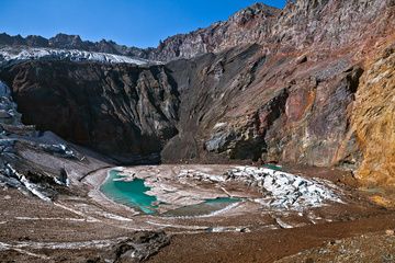
The glacial lake in east crater of Mutnovsky Volcano (Sep-2012) (Photo: Sergey Krasnoshchokov)
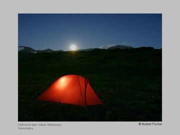
Tent with full moon over Mutnovsky volcano (Kamchatka) (Photo: Norbert Fischer)

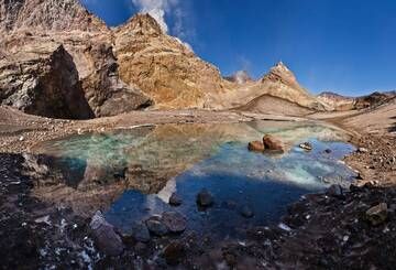
Fumarole field in a crater of Mutnovsky Volcano (Sep-2013) (Photo: Sergey Krasnoshchokov)
The glacial lake in east crater of Mutnovsky Volcano (Sep-2013) (Photo: Sergey Krasnoshchokov)
Significant volcanic eruptions: Mutnovsky volcano
In the past 10,000 years, Mutnovsky has had at least 45 confirmed volcanic eruptions, out of which 20 are documented by historical records, while the others can be inferred from geological evidence.
The table below lists all known eruptions (date in bold face) of Mutnovsky volcano since around 1000 AD. Updates on the most recent volcanic activity of Mutnovsky can be found on the news page of Mutnovsky volcano.
| Date | Note | VEI | Deaths | Damage | |
|---|---|---|---|---|---|
Historical obs./docs. | 1? | ||||
| North crater Historical obs./docs. | 2 | ||||
| 1991 Jun (eruptive episode | Historical obs./docs. | 0 | 1 | Info | |
| West wall of SW crater Historical obs./docs. | 2 | ||||
Historical obs./docs. | 2 | ||||
Historical obs./docs. | 2 | ||||
Historical obs./docs. | 2 | ||||
Historical obs./docs. | 2 | ||||
Historical obs./docs. | 2 | ||||
Historical obs./docs. | 2 | ||||
Historical obs./docs. | 3? | ||||
Historical obs./docs. | 2 | ||||
Historical obs./docs. | 2 | ||||
Historical obs./docs. | 2 | ||||
Historical obs./docs. | 2 | ||||
Historical obs./docs. | 2 | ||||
Historical obs./docs. | 2 | ||||
Historical obs./docs. | 2 | ||||
Historical obs./docs. | 3 | ||||
Historical obs./docs. | 2 | ||||
Historical obs./docs. | 2 | ||||
| 2 | |||||
Remark:
Our list of volcanic eruptions closely follows the database of eruptions of the Smithsonian's Global Volcanism Project (GVP), the internationally most recognized data source for volcanic eruptions, but also includes significant eruptive episodes or related volcano events. "Volcanic eruptions" are usually to be understood as sequences of individual eruptive episodes that can follow each other, or even overlap (if several vents are involved), and can last many years, decades or even longer. For example, the current activity of Stromboli volcano is understood as a single eruption that has been ongoing since 1934.
Sources: NOAA National Centers for Environmental Information (NCEI), Global Significant Volcanic Eruptions Database. doi:10.7289/V5TD9V7K | Global Volcanism Project / Smithsonian Institution
Mutnovsky Volcano FAQ
+When was the last eruption of Mutnovsky volcano?
The last confirmed eruption of Mutnovsky occurred in 2000.
+How often does Mutnovsky volcano erupt?
Since 1650 AD, Mutnovsky volcano has had at least 20 historically documented eruptions. This means that it erupts on average every 18.8 years.
+How active is Mutnovsky volcano at present?
Mutnovsky volcano is infrequently active: Since 1900, it has had 12 eruptions, and been active during 12 years out of 126 as of now. This means, Mutnovsky has been in eruption one in 10.5 years on average. The last eruption was in 2000 and ended 25 years ago.
+When was the largest eruption of Mutnovsky volcano?
The largest eruption of Mutnovsky volcano in historic times occurred in 1917. It ranks as a "vulcanian" eruption with a magnitude 3 on the VEI (Volcanic Explosivity Index) scale.
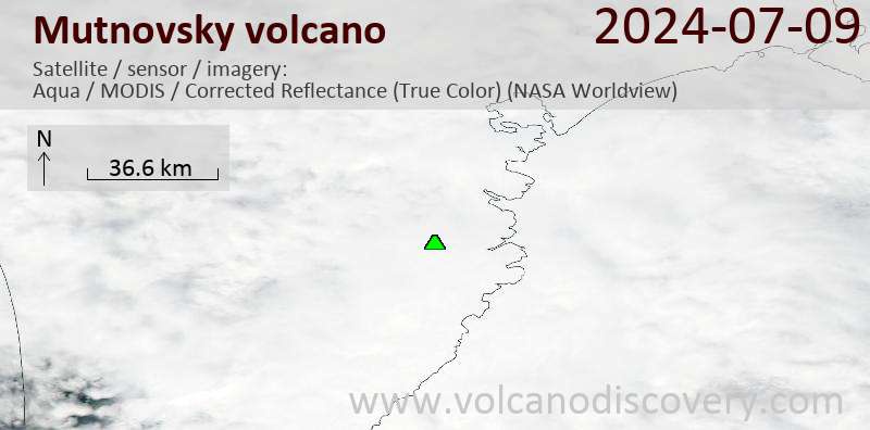
Latest satellite images
Mutnovsky Volcano Tours
Kamchatka (Russia)
Kamchatka - Land of Colors
volcano expedition to Kamchatka
16-19 days - Easy to Moderate
Price 0 €
Price 0 €
no scheduled dates at present
Mutnovsky Volcano Maps
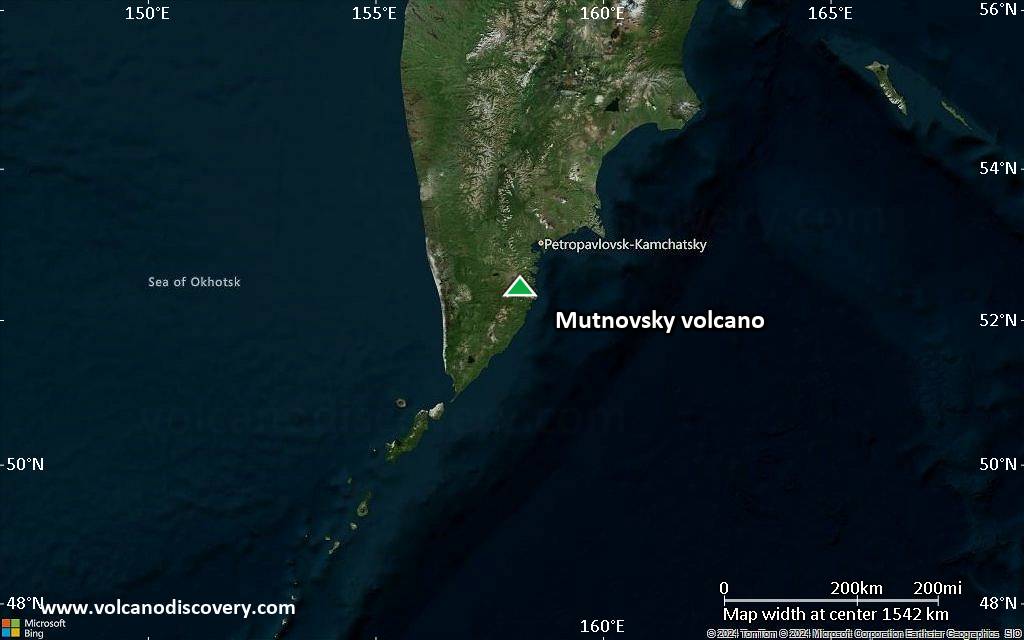
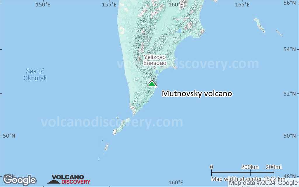
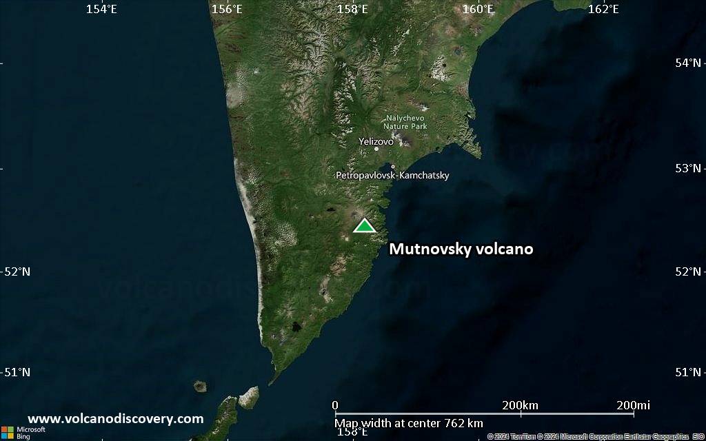
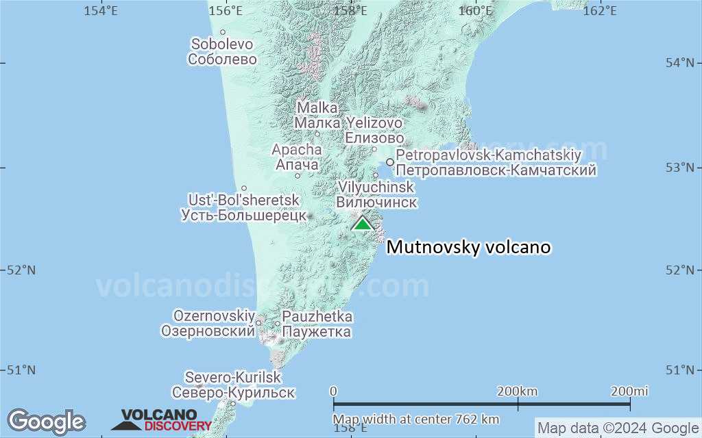
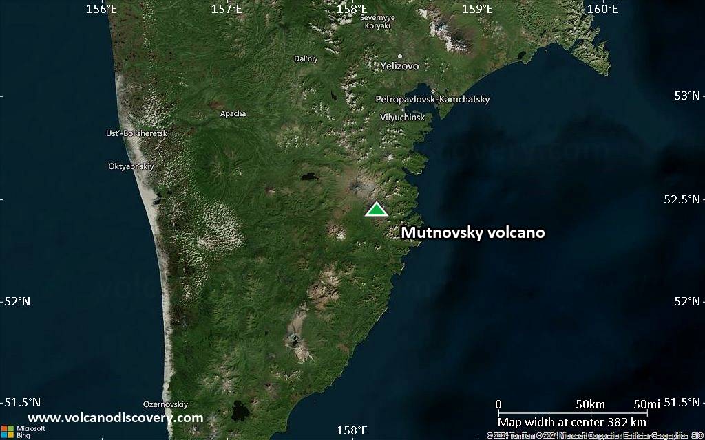
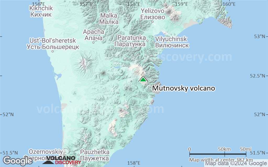
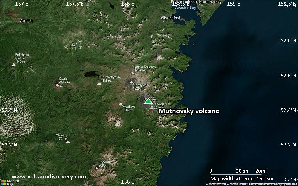
Below is a selection of maps showing the location and surroundings of the volcano at various resolutions based on aerial-imagery / terrain maps. Feel free to use them for non-commercial purposes on your blog or website as long as you credit them with a link back to this page (click to copy it).
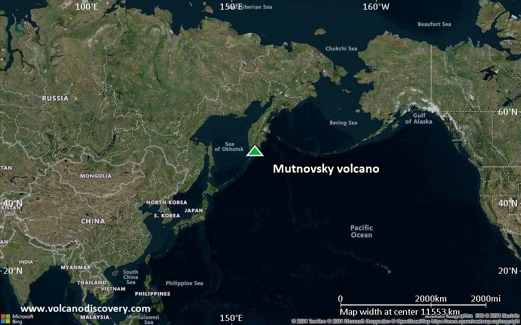
Satellite/aerial-type map of Mutnovsky volcano (world scale)
Terrain-type map of Mutnovsky volcano (world scale)
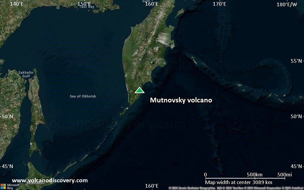
Satellite/aerial-type map of Mutnovsky volcano (region scale large)
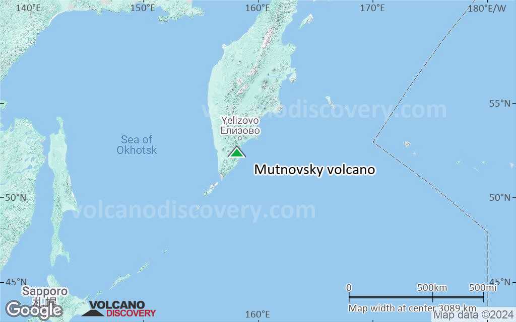
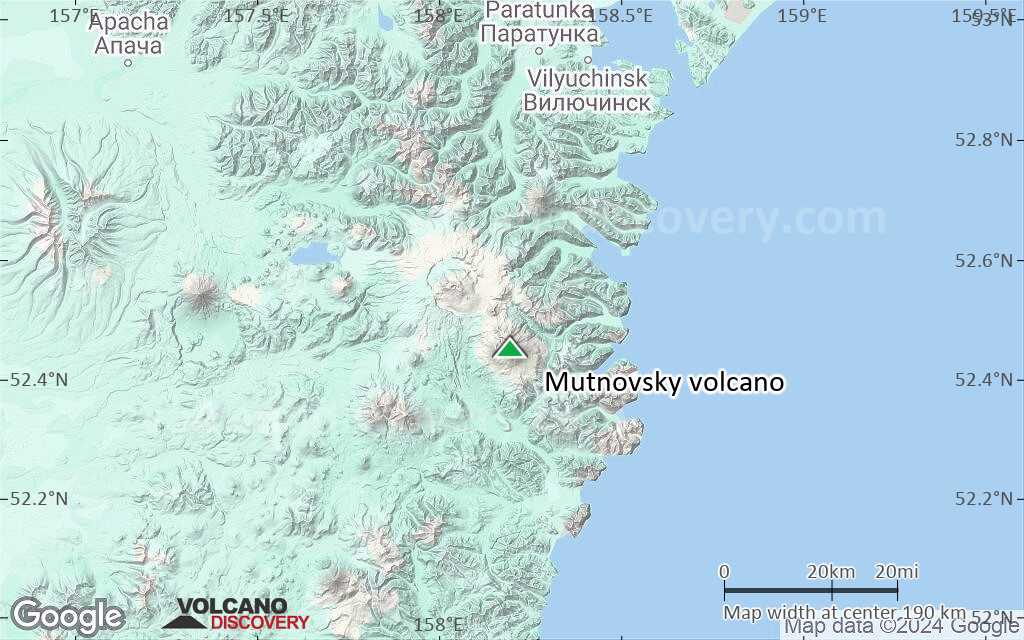
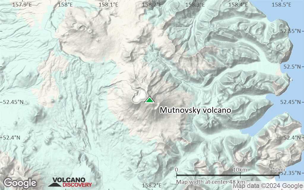
Terrain-type map of Mutnovsky volcano (region scale large)
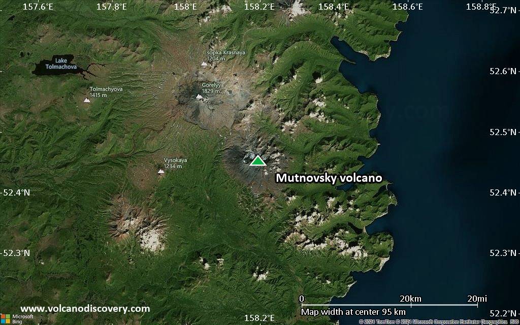
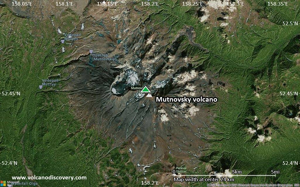
Satellite/aerial-type map of Mutnovsky volcano (region scale medium)
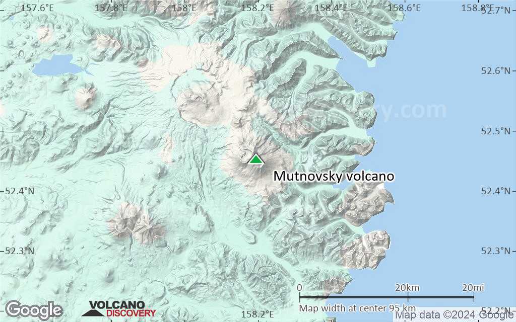
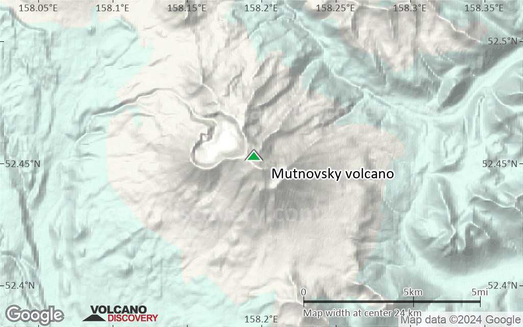
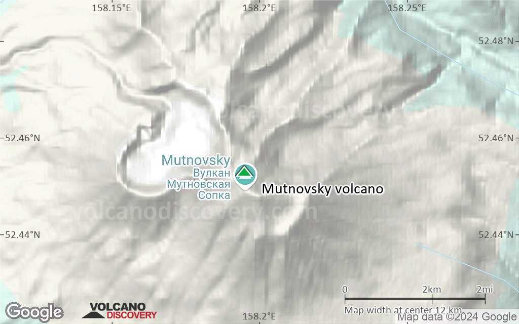
Terrain-type map of Mutnovsky volcano (region scale medium)
Satellite/aerial-type map of Mutnovsky volcano (region scale small)
Terrain-type map of Mutnovsky volcano (region scale small)
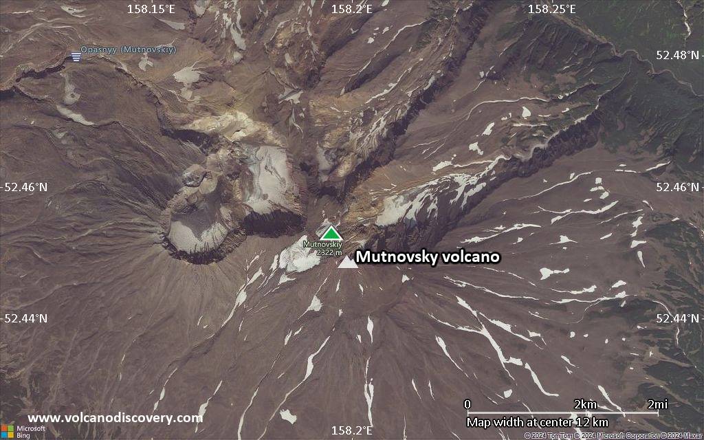
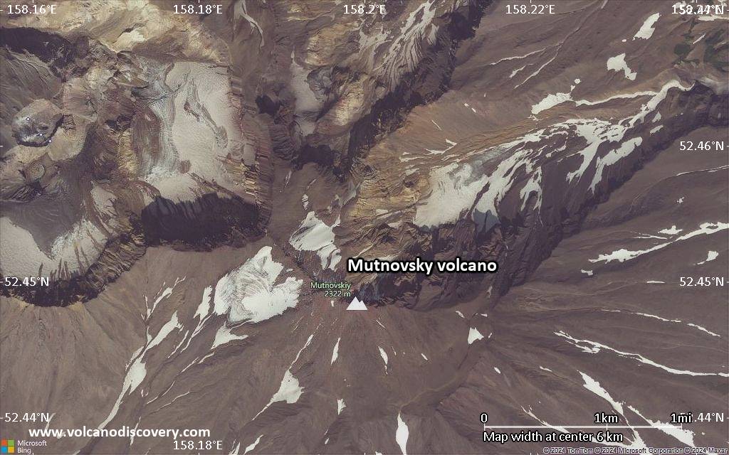
Satellite/aerial-type map of Mutnovsky volcano (local scale large)
Terrain-type map of Mutnovsky volcano (local scale large)
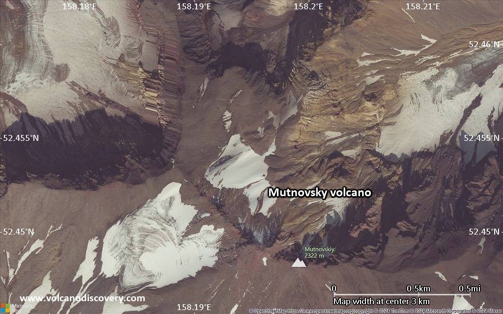
Satellite/aerial-type map of Mutnovsky volcano (local scale medium)
Terrain-type map of Mutnovsky volcano (local scale medium)
Satellite/aerial-type map of Mutnovsky volcano (local scale small)
Terrain-type map of Mutnovsky volcano (local scale small)
Satellite/aerial-type map of Mutnovsky volcano (scale of 10s of km)
Terrain-type map of Mutnovsky volcano (scale of 10s of km)
Satellite/aerial-type map of Mutnovsky volcano (scale of 20-40 km)
Terrain-type map of Mutnovsky volcano (scale of 20-40 km)
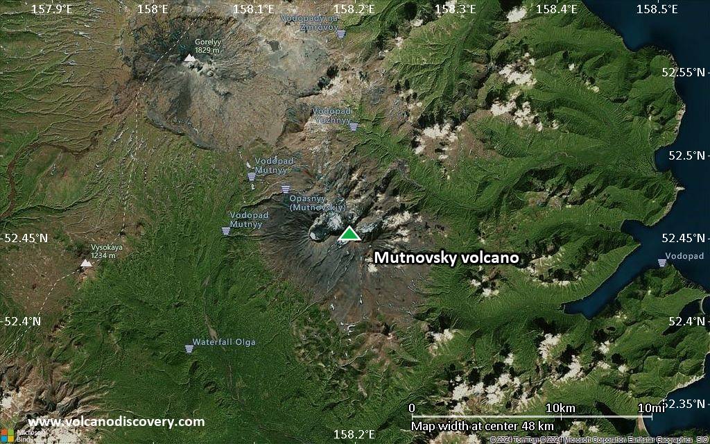
Satellite/aerial-type map of Mutnovsky volcano (scale of approx. 10-20 km)
Terrain-type map of Mutnovsky volcano (scale of approx. 10-20 km)
Satellite/aerial-type map of Mutnovsky volcano (scale of 5-10 km)
Satellite/aerial-type map of Mutnovsky volcano (scale of few kilometers)


