Namarunu Volcano
Updated: Jun 11, 2025 03:33 GMT -
Shield volcano
Kenya, 1.98°N / 36.43°E 
Summit height: 817 m / 2,680 ft
Current status: normal or dormant (1 out of 5)
[smaller] [larger]
Namarunu volcano eruptions: 6550 BC ± 1000 years
Latest nearby earthquakes
| Date and Time | Mag / Depth | Distance / Location | |||
|---|---|---|---|---|---|
Background
The largely Pliocene Namarunu trachytic shield volcano is topped by parasitic cones and lava flows of upper Pleistocene and Holocene age. Voluminous basaltic effusive and explosive activity took place during the early Holocene on the lower northern, eastern, and southern flanks along the axis of the East African Rift, producing fissure-controlled subaerial basaltic scoria cones and lava flows, and partially or completely sublacustral tuff cones, tuff rings, and pillow lavas. Fluid olivine basalts were also erupted from a breached scoria cone forming the summit of Namarunu. The youngest eruptions postdated the drying out of Lake Sugata about 3000 years ago. Some could be as recent as the historical eruptions at The Barrier volcano to the north (Dunkley et al., 1993). Hot springs are located on some of the young volcanic cones on the rift valley floor and on the eastern side of the rift along the base of the Tirr Tirr Plateau.---
Smithsonian / GVP volcano information
Significant volcanic eruptions: Namarunu volcano
No historic eruptions are known from Namarunu volcano, but at least one eruption around 6550 BC can be inferred from geological evidence.
The table below lists all known eruptions (date in bold face) of Namarunu volcano in historic times and during the past 10,000 years. Updates on the most recent volcanic activity of Namarunu can be found on the news page of Namarunu volcano.
| Date | Note | VEI | Deaths | Damage | |
|---|---|---|---|---|---|
| Lower eastern flanks | ? | ||||
Remark:
Our list of volcanic eruptions closely follows the database of eruptions of the Smithsonian's Global Volcanism Project (GVP), the internationally most recognized data source for volcanic eruptions, but also includes significant eruptive episodes or related volcano events. "Volcanic eruptions" are usually to be understood as sequences of individual eruptive episodes that can follow each other, or even overlap (if several vents are involved), and can last many years, decades or even longer. For example, the current activity of Stromboli volcano is understood as a single eruption that has been ongoing since 1934.
Sources: NOAA National Centers for Environmental Information (NCEI), Global Significant Volcanic Eruptions Database. doi:10.7289/V5TD9V7K | Global Volcanism Project / Smithsonian Institution
Namarunu Volcano FAQ
+When was the last eruption of Namarunu volcano?
The last confirmed eruption of Namarunu occurred around 6550 BC.
Latest satellite images

Namarunu Volcano Maps
Below is a selection of maps showing the location and surroundings of the volcano at various resolutions based on aerial-imagery / terrain maps. Feel free to use them for non-commercial purposes on your blog or website as long as you credit them with a link back to this page (click to copy it).
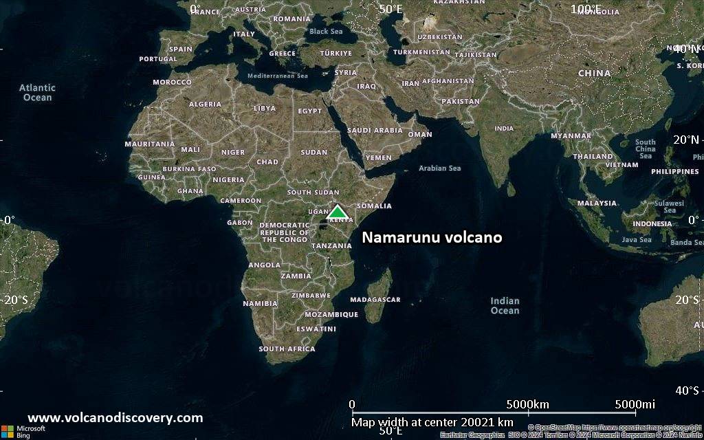
Satellite/aerial-type map of Namarunu volcano (world scale)

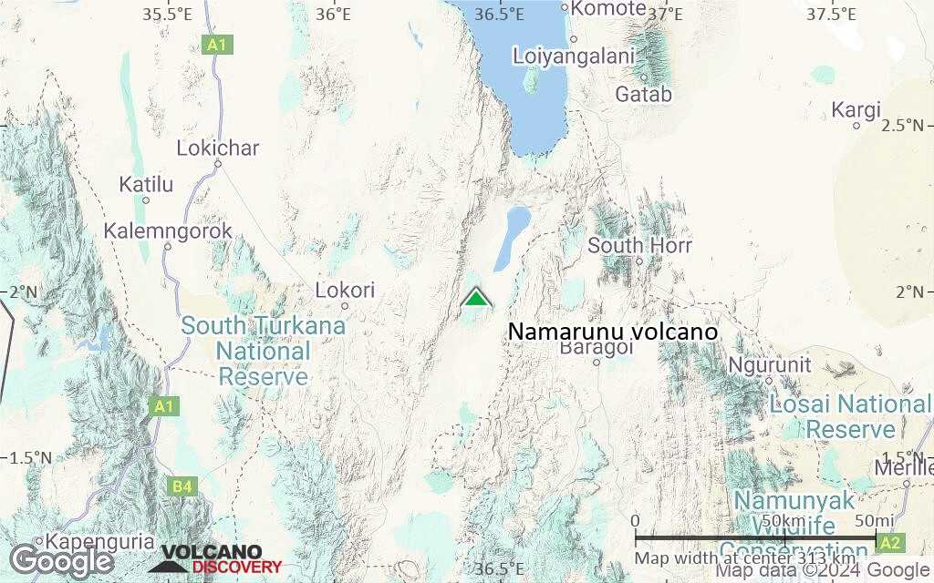
Terrain-type map of Namarunu volcano (world scale)

Satellite/aerial-type map of Namarunu volcano (region scale large)

Terrain-type map of Namarunu volcano (region scale large)
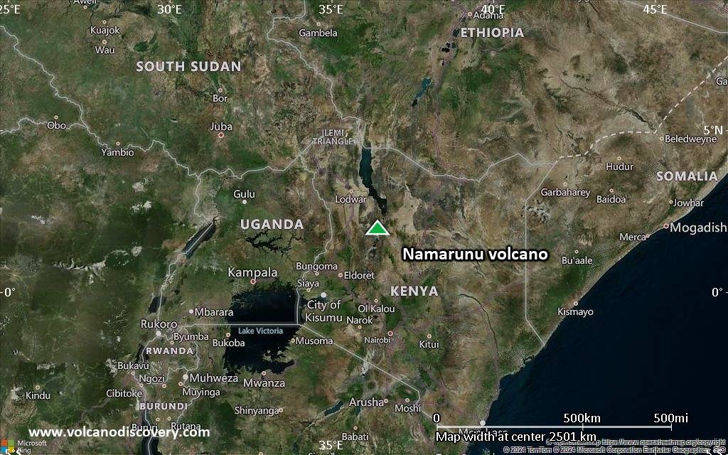
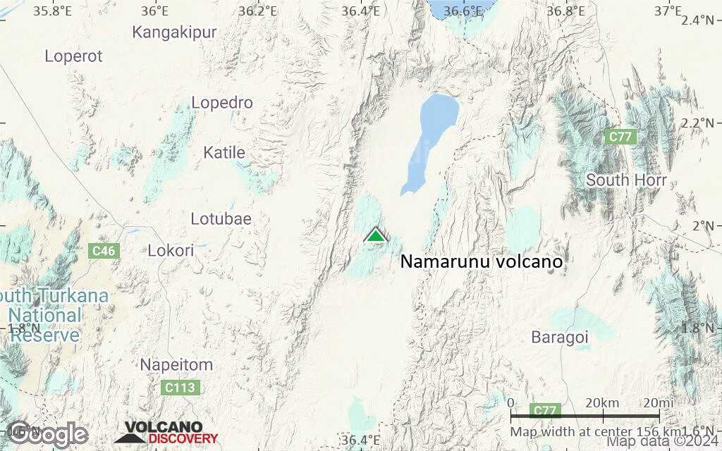
Satellite/aerial-type map of Namarunu volcano (region scale medium)
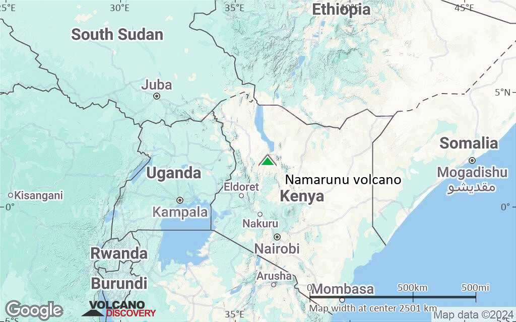
Terrain-type map of Namarunu volcano (region scale medium)

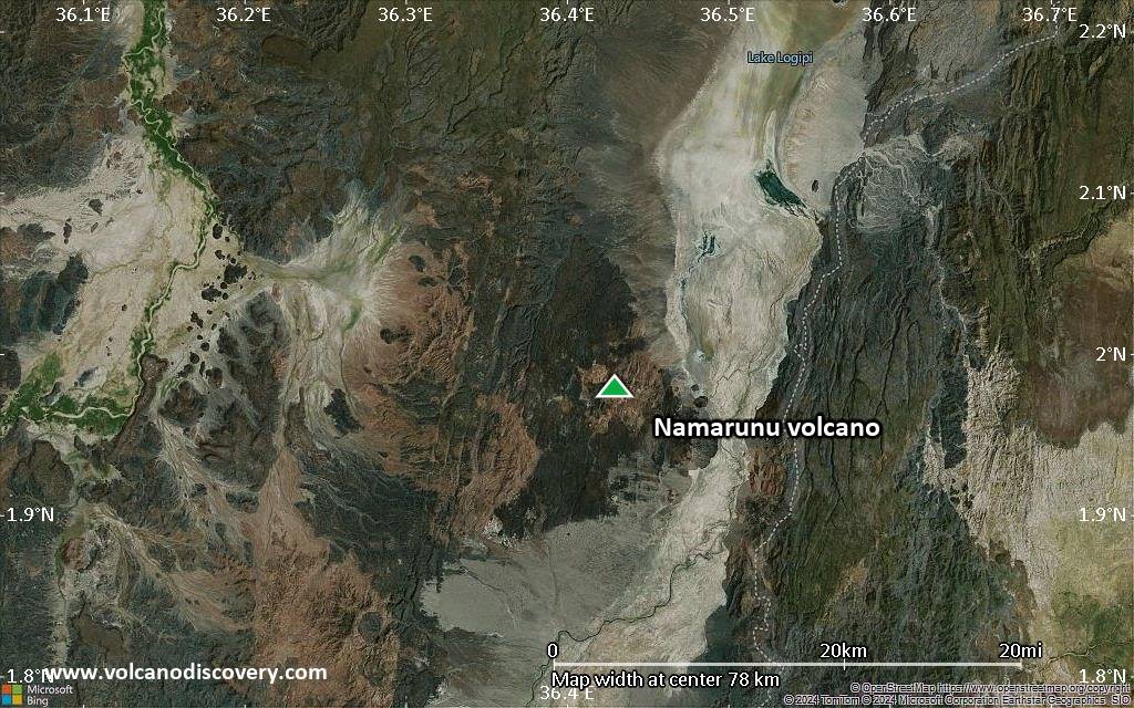
Satellite/aerial-type map of Namarunu volcano (region scale small)

Terrain-type map of Namarunu volcano (region scale small)

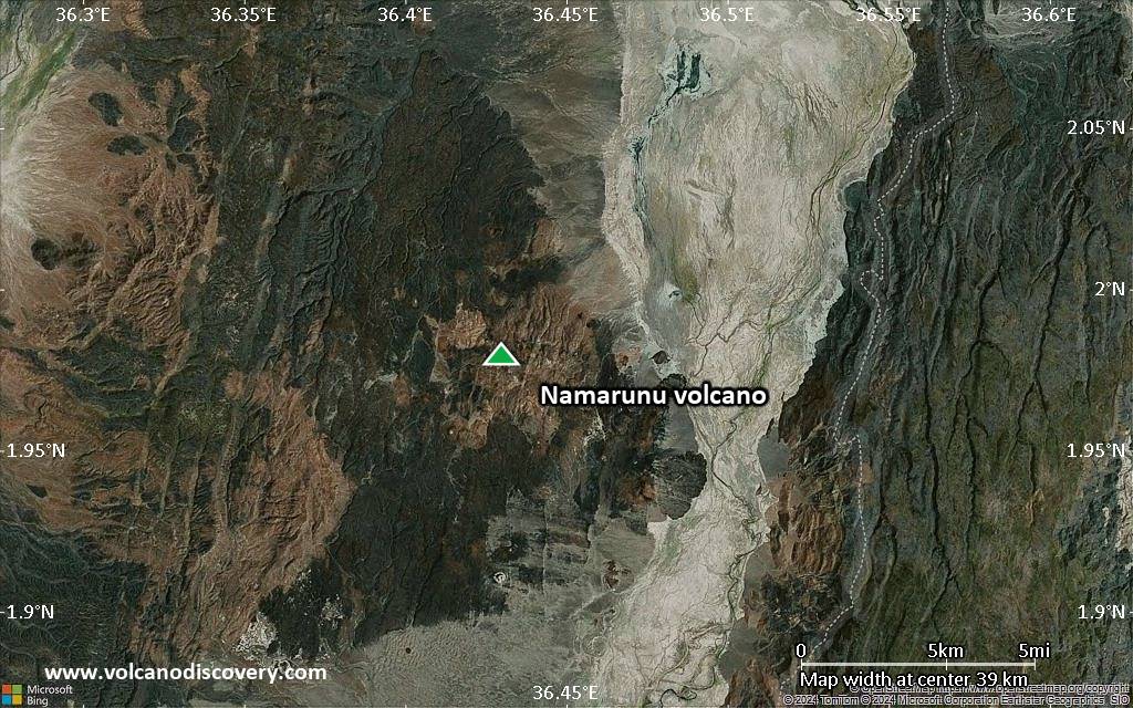
Satellite/aerial-type map of Namarunu volcano (local scale large)

Terrain-type map of Namarunu volcano (local scale large)

Satellite/aerial-type map of Namarunu volcano (local scale medium)
Terrain-type map of Namarunu volcano (local scale medium)

Satellite/aerial-type map of Namarunu volcano (local scale small)
Terrain-type map of Namarunu volcano (local scale small)
Satellite/aerial-type map of Namarunu volcano (scale of 10s of km)

Terrain-type map of Namarunu volcano (scale of 10s of km)
Satellite/aerial-type map of Namarunu volcano (scale of 20-40 km)
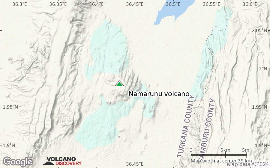
Terrain-type map of Namarunu volcano (scale of 20-40 km)
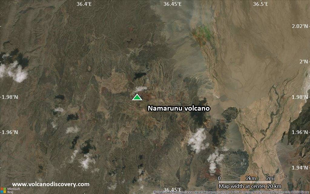
Satellite/aerial-type map of Namarunu volcano (scale of approx. 10-20 km)

Terrain-type map of Namarunu volcano (scale of approx. 10-20 km)

Satellite/aerial-type map of Namarunu volcano (scale of 5-10 km)

Satellite/aerial-type map of Namarunu volcano (scale of few kilometers)