Nii-jima Volcano
Updated: Apr 27, 2024 16:23 GMT -
lava domes 432 m / 1,417 ft
Izu Islands (Japan), 34.39°N / 139.27°E
Current status: normal or dormant (1 out of 5)
Izu Islands (Japan), 34.39°N / 139.27°E
Current status: normal or dormant (1 out of 5)
Nii-jima volcano (新島 Niijima) is a group of 8 rhyolitic lava domes located on the northern and on the southern end of the elongated 11 x 2.5 km island of Niijima. The last eruptions occurred in the 9th century, and there were earthquake swarms beneath the volcano in the 20th century.
[smaller] [larger]
Nii-jima volcano eruptions: 886, 840
Latest nearby earthquakes
| Time | Mag. / Depth | Distance / Location | |||
| Apr 27, 03:25 am (GMT +9) | 2.6 86 km | 15 km (9.6 mi) to the NW | Info | ||
Background
The northern and southern groups of lava domes of Nii-jima are separated by a low, flat isthmus, which gives the island the shape of consisting of 2 large plateaus with steep cliffs.The Mukai-yama complex is at the southern end of the island. The Achi-yama lava dome at the northern end was formed during Nii-jima's only historical eruptions in the 9th century AD.
The older Shikine-yama and Zinai-to lava domes form small islands immediately to the SW and west of Nii-jima.
Nii-jima Volcano Photos

Bertolonis orchid (?), Ophrys bertolonii MORETTI. Psifta lake / Troezenia area. (Photo: Tobias Schorr)
Eruptions of Nii-jima volcano
1985-96 seismic unrest
Several mostly submarine seismic swarms occurred in the area of Nii-jima volcano during the past century, such as in September 1985, January and March, September and October 1992, March and September 1993, December 1995 and in July 1996.
During these events, no surface changes were observed.
Several mostly submarine seismic swarms occurred in the area of Nii-jima volcano during the past century, such as in September 1985, January and March, September and October 1992, March and September 1993, December 1995 and in July 1996.
During these events, no surface changes were observed.
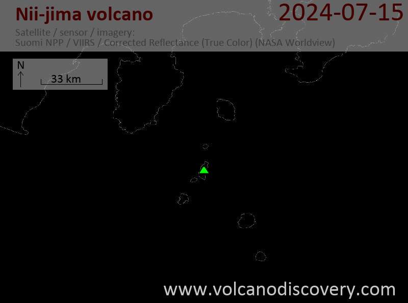
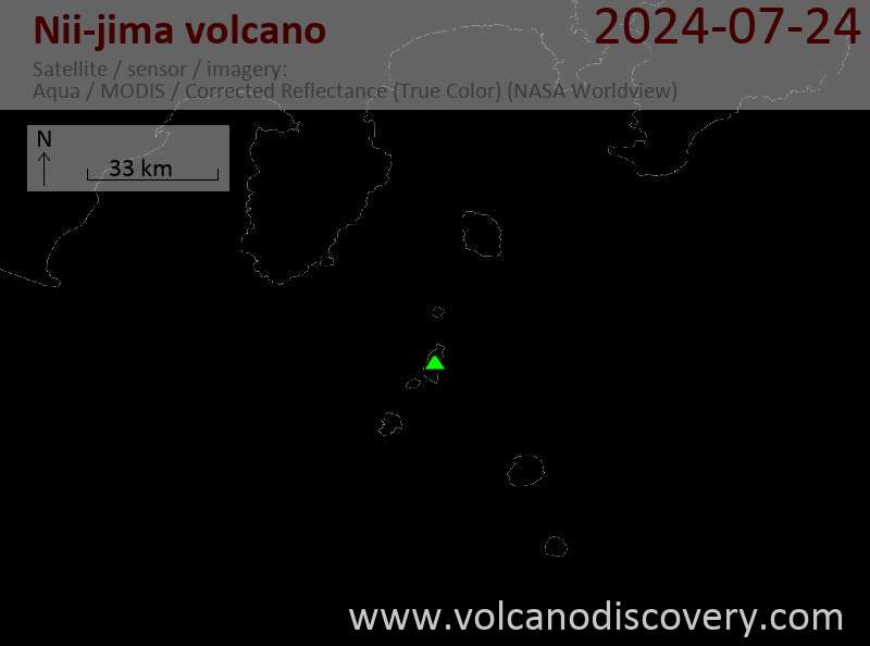
Latest satellite images