Papayo Volcano
Updated: Aug 3, 2025 13:56 GMT -
lava dome
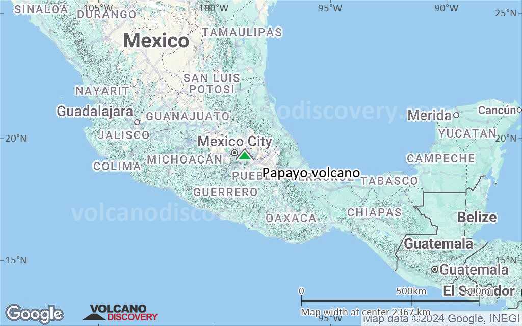
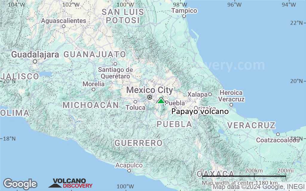
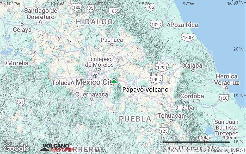
Central Mexico, 19.31°N / -98.7°W 
Summit height: 3600+ m / 11,811 ft
Current status: normal or dormant (1 out of 5)
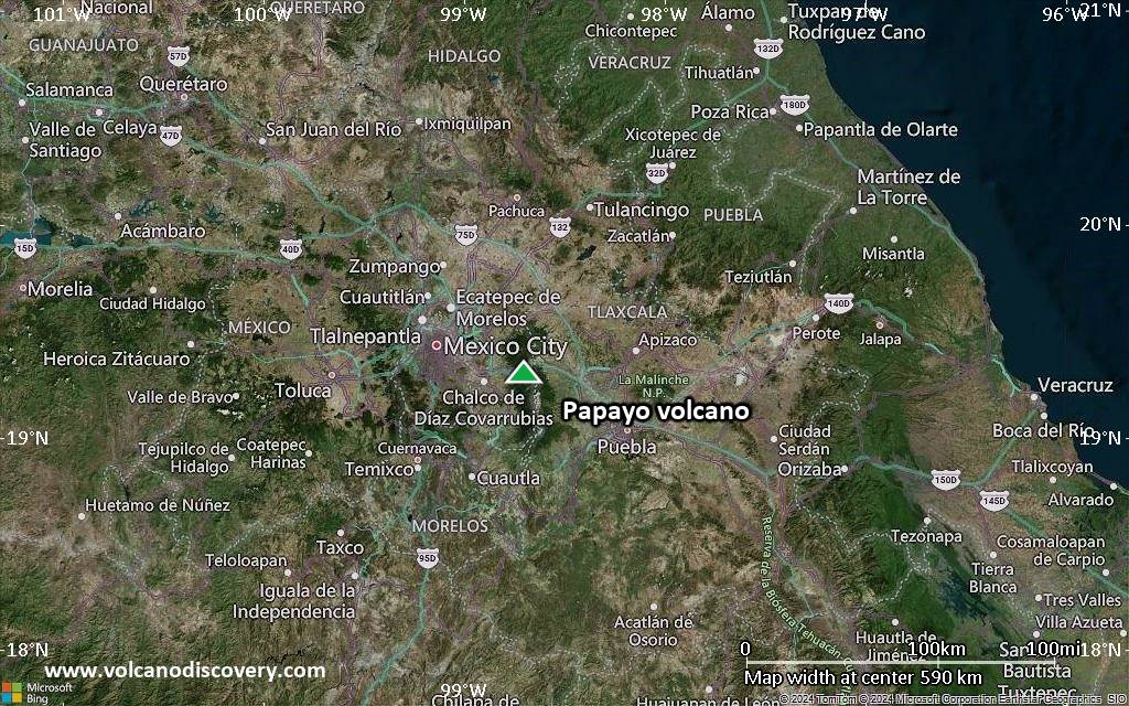
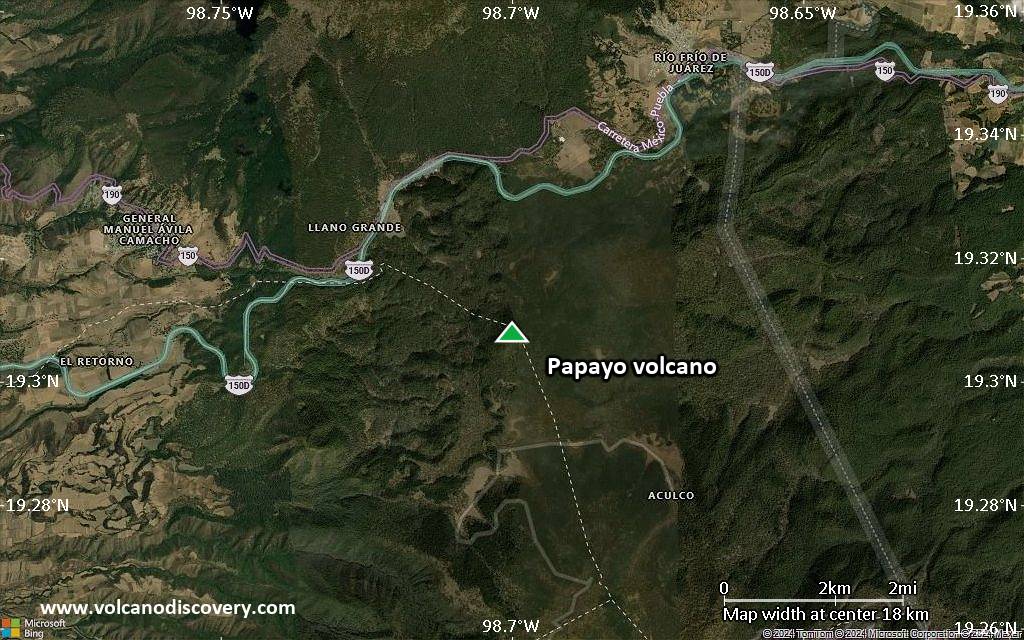
Papayo volcano is a small lava dome on the crest of the Sierra Nevada range 47 km SE of Mexico City. Papayo has produced large dacitic lava flows reaching up to 10 km length, and was last active less than 12,000 years ago, meaning it is to be considered potentially active.
[smaller] [larger]
Papayo volcano eruptions: unknown, less than 10,000 years ago
Latest nearby earthquakes
| Date and Time | Mag / Depth | Distance / Location | |||
|---|---|---|---|---|---|
Background
The 3600-m-high postglacial Papayo lava dome, constructed along the crest of the Sierra Nevada range, is dwarfed by its massive neighbor Iztaccíhuatl volcano, 15 km to the SW. Papayo has been the source of voluminous dacitic lava flows that have traveled about 10 km from the vent both to the WSW and ENE. The steep-sided Cerro Papayo dacitic lava dome, rising 230 m above the surrounding lava flows, marks the vent. The 84 sq km compound lava field has a volume of about 21 cu km and includes flows that traveled long distances in opposite directions into the Valley of Mexico and toward the Puebla basin. Papayo lavas overlie glacial moraines about 12,000 years old (Nixon, 1989). On the western side the flows surround the glaciated late-Pleistocene lava and pyroclastic cone of Iztaltetlac.---
Sources:
- Smithsonian / GVP volcano information
- Nixon G T (1989) "The geology of Iztaccihuatl volcano and adjacent areas of the Sierra Nevada and Valley of Mexico", Geol Soc Amer Spec Pap, 219: 1-58
Latest satellite images
Papayo Volcano Maps
Below is a selection of maps showing the location and surroundings of the volcano at various resolutions based on aerial-imagery / terrain maps. Feel free to use them for non-commercial purposes on your blog or website as long as you credit them with a link back to this page (click to copy it).
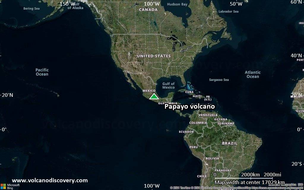
Satellite/aerial-type map of Papayo volcano (world scale)
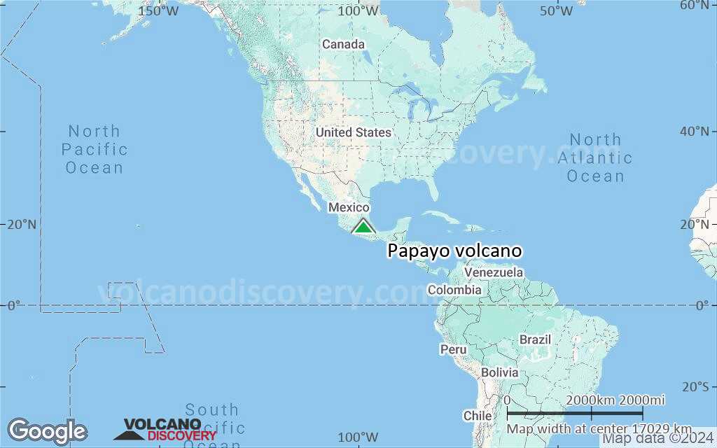
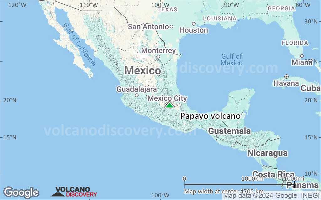
Terrain-type map of Papayo volcano (world scale)
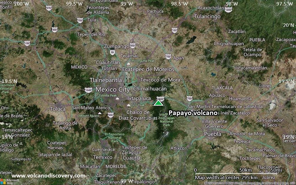
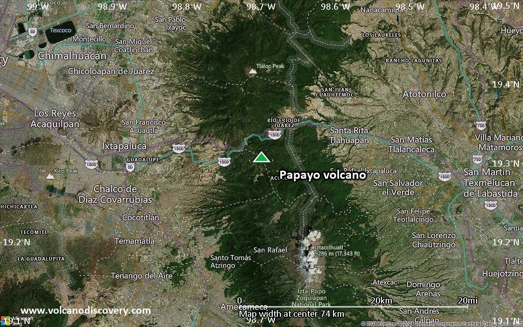
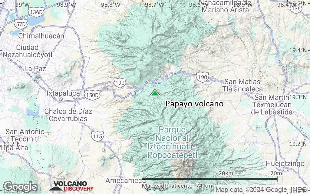
Satellite/aerial-type map of Papayo volcano (region scale large)
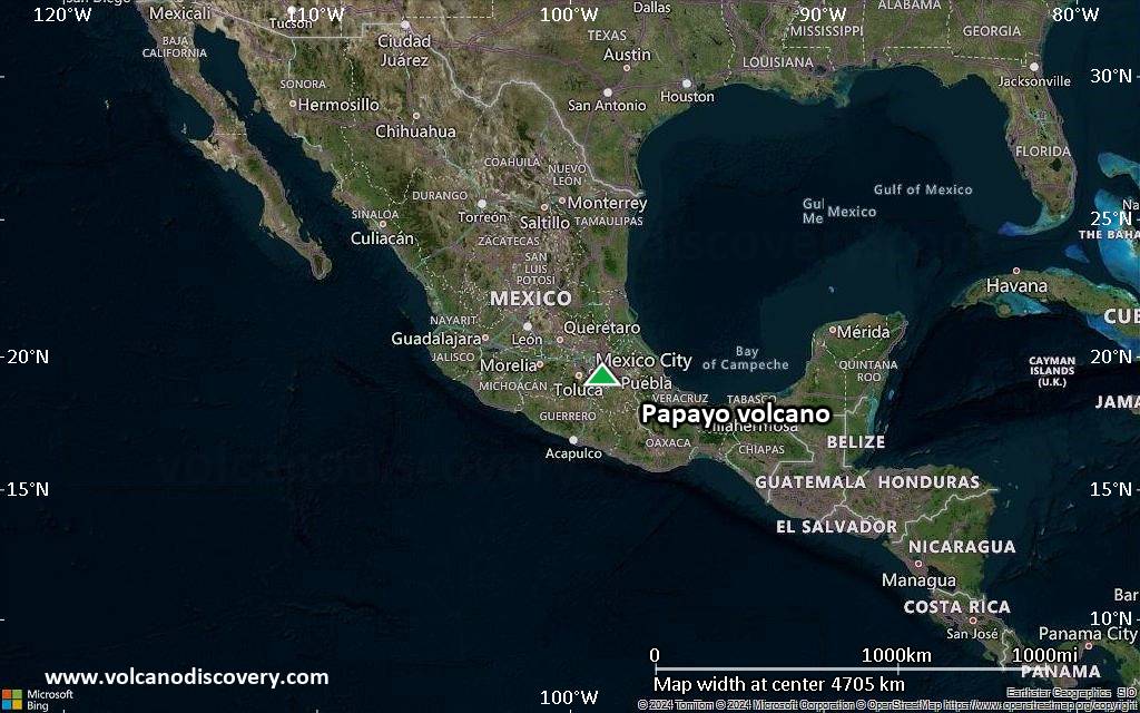
Terrain-type map of Papayo volcano (region scale large)
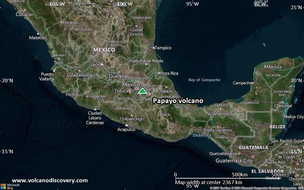
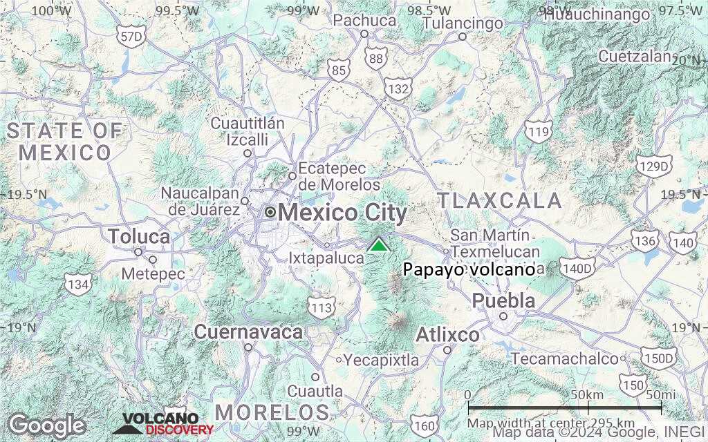
Satellite/aerial-type map of Papayo volcano (region scale medium)
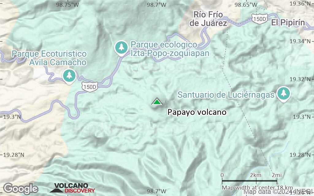
Terrain-type map of Papayo volcano (region scale medium)

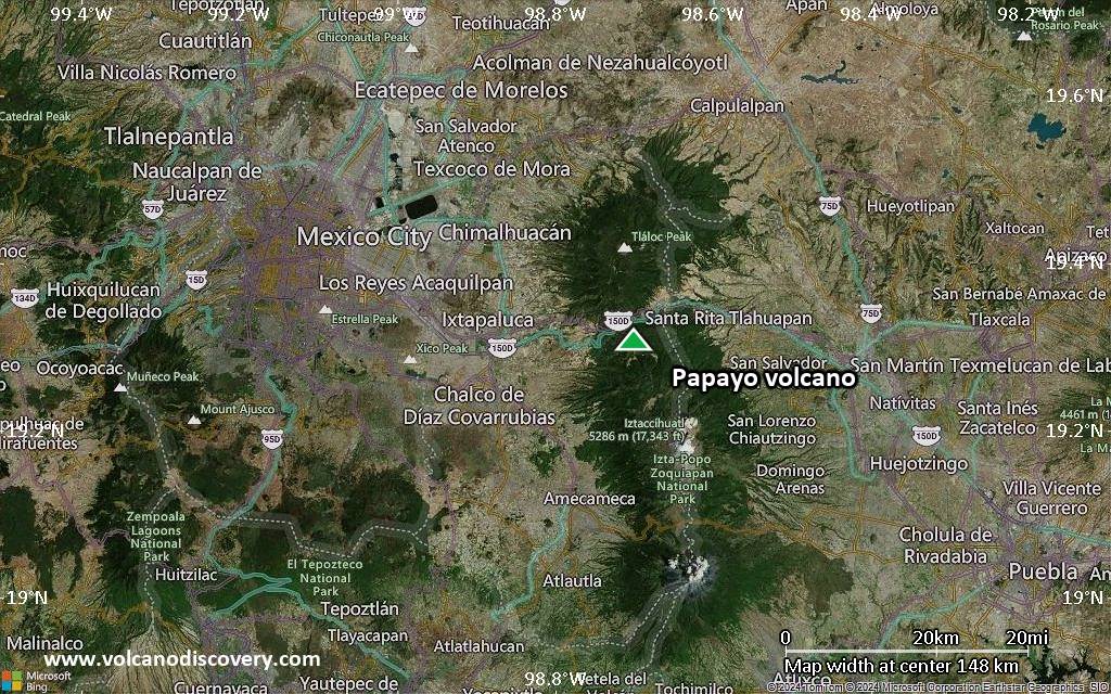
Satellite/aerial-type map of Papayo volcano (region scale small)
Terrain-type map of Papayo volcano (region scale small)
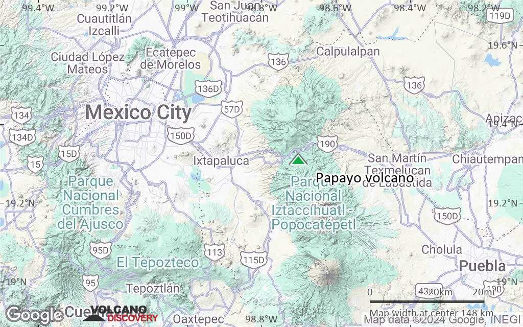
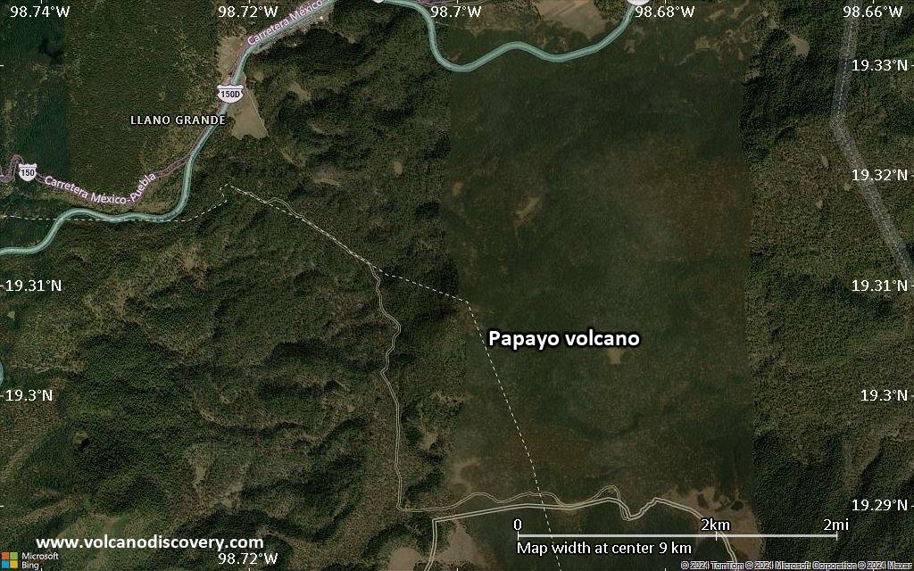
Satellite/aerial-type map of Papayo volcano (local scale large)
Terrain-type map of Papayo volcano (local scale large)
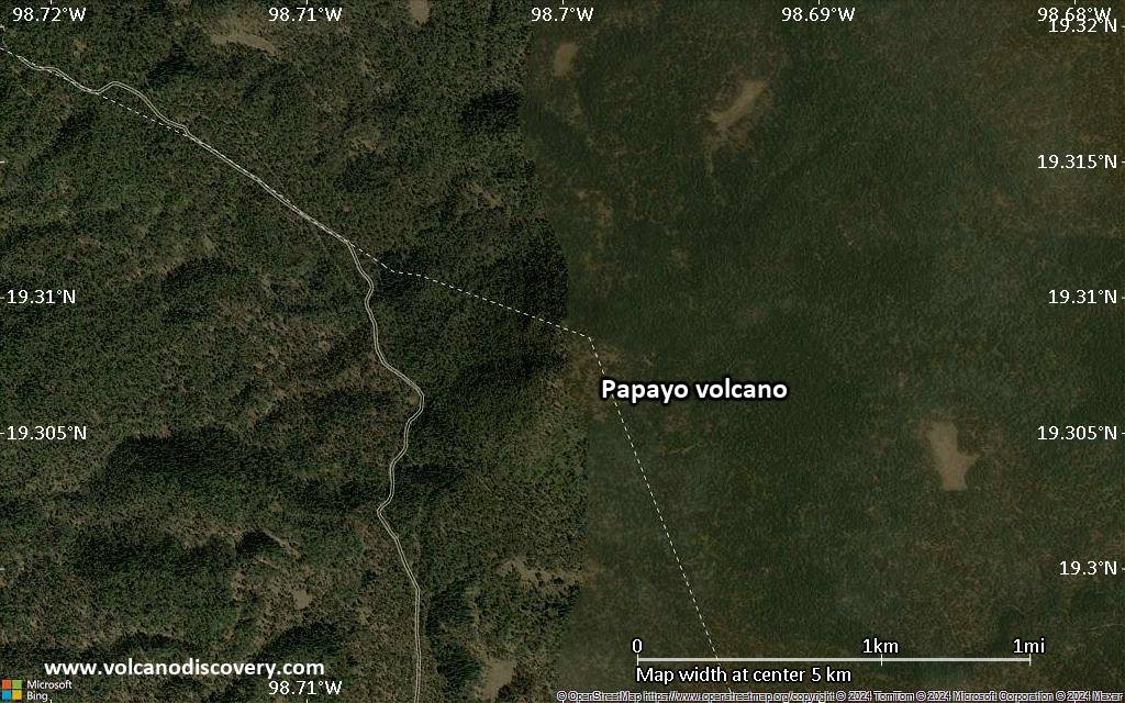
Satellite/aerial-type map of Papayo volcano (local scale medium)
Terrain-type map of Papayo volcano (local scale medium)
Satellite/aerial-type map of Papayo volcano (local scale small)
Terrain-type map of Papayo volcano (local scale small)
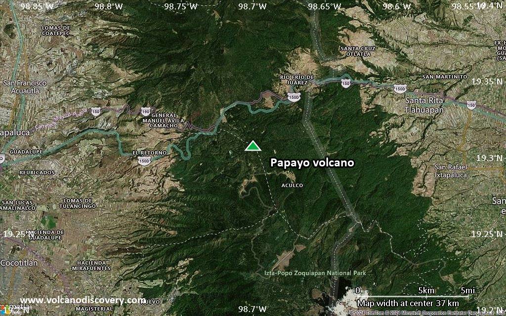
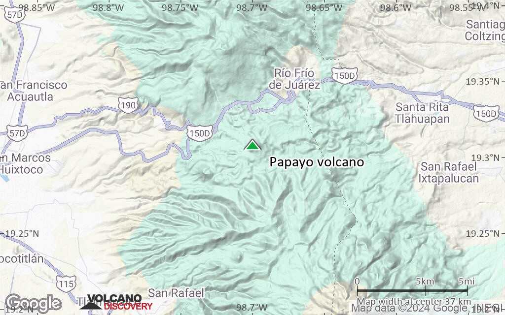
Satellite/aerial-type map of Papayo volcano (scale of 10s of km)
Terrain-type map of Papayo volcano (scale of 10s of km)
Satellite/aerial-type map of Papayo volcano (scale of 20-40 km)
Terrain-type map of Papayo volcano (scale of 20-40 km)
Satellite/aerial-type map of Papayo volcano (scale of approx. 10-20 km)
Terrain-type map of Papayo volcano (scale of approx. 10-20 km)
Satellite/aerial-type map of Papayo volcano (scale of 5-10 km)
Satellite/aerial-type map of Papayo volcano (scale of few kilometers)