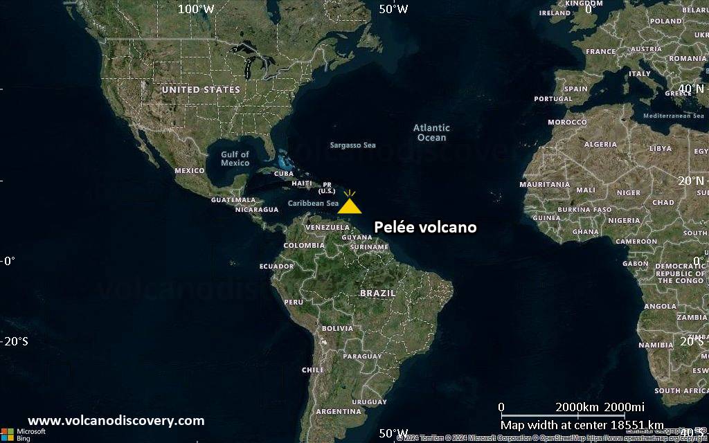
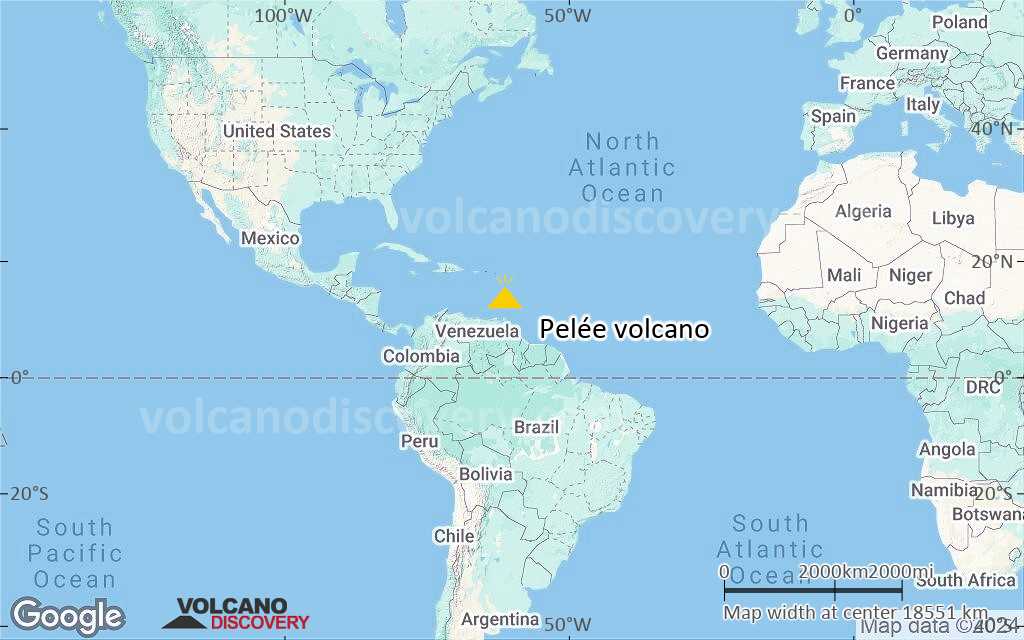
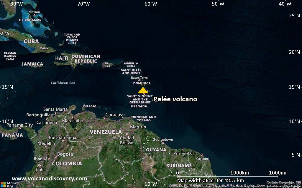
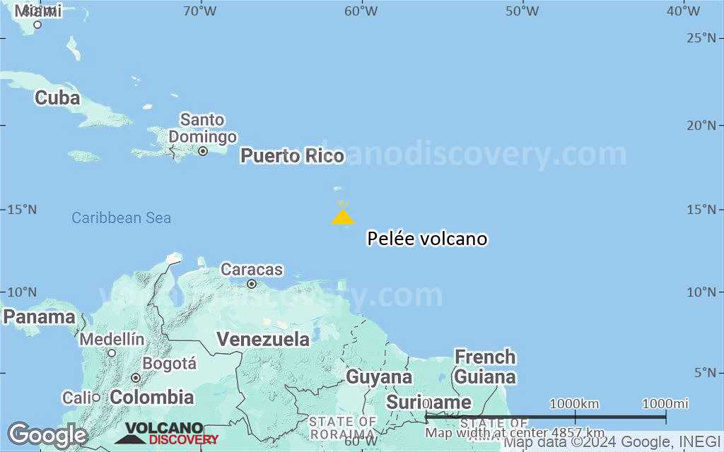
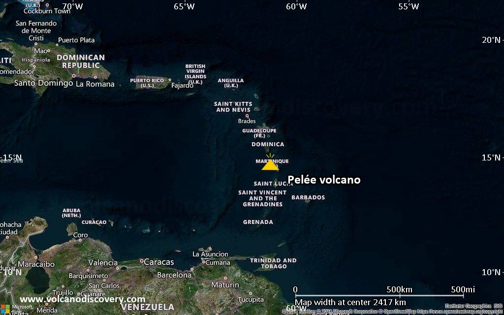
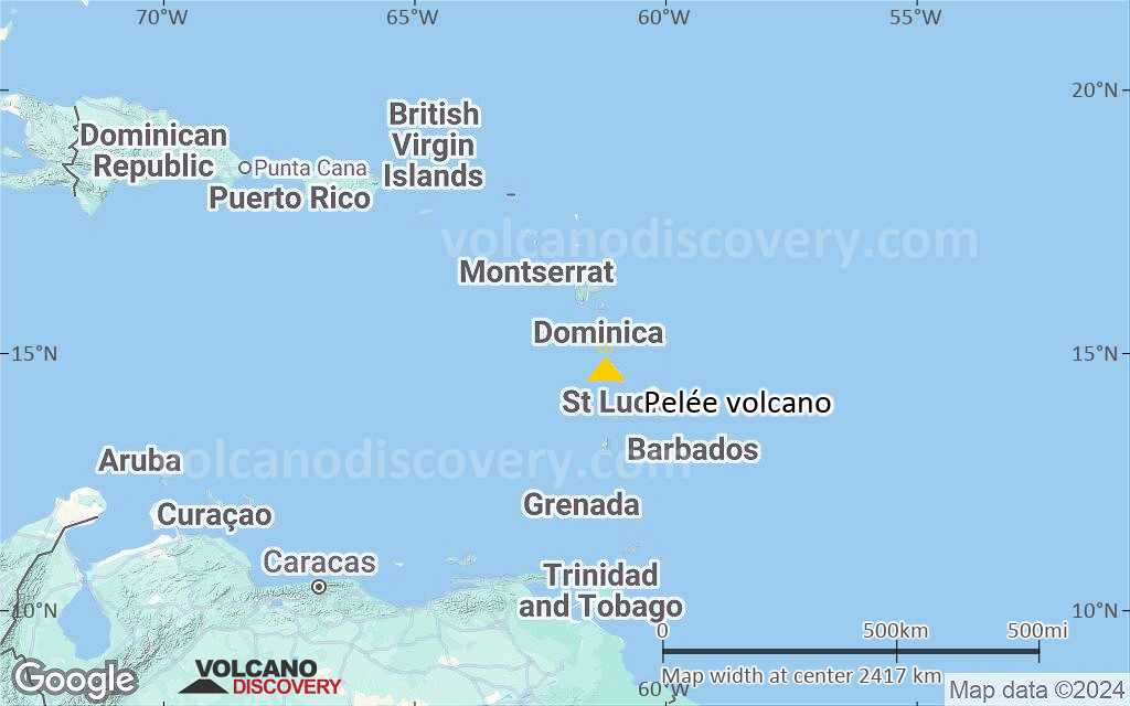
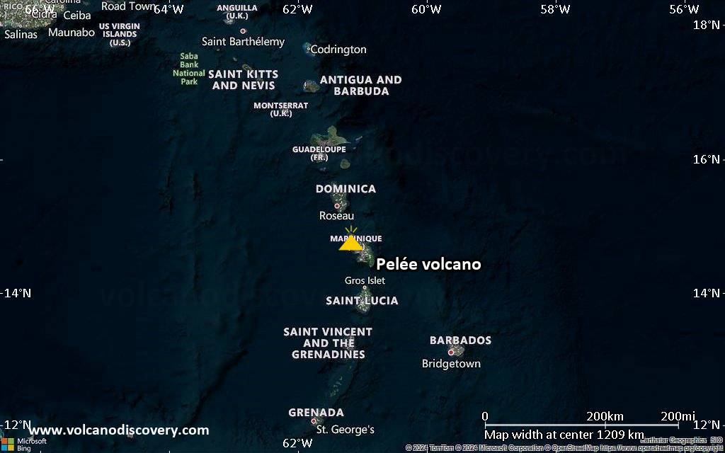
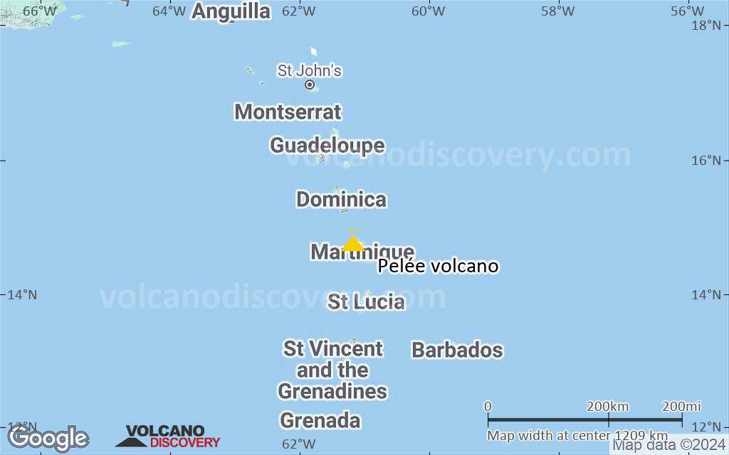
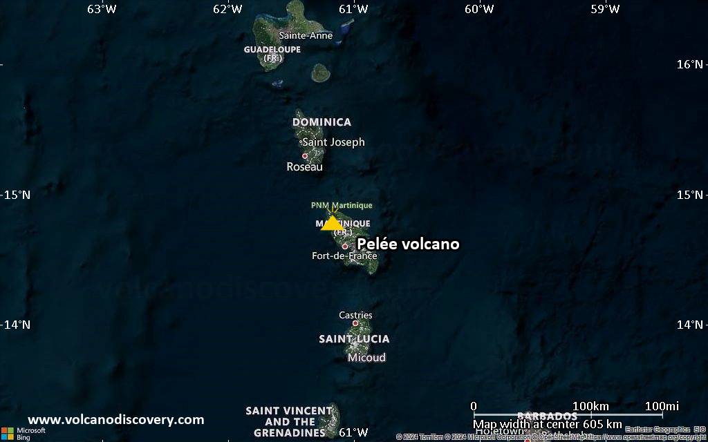
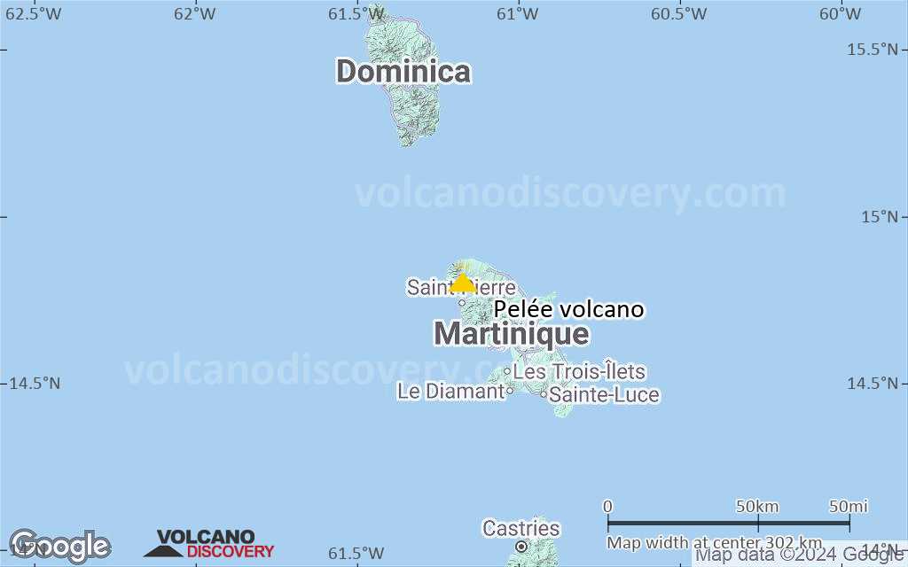
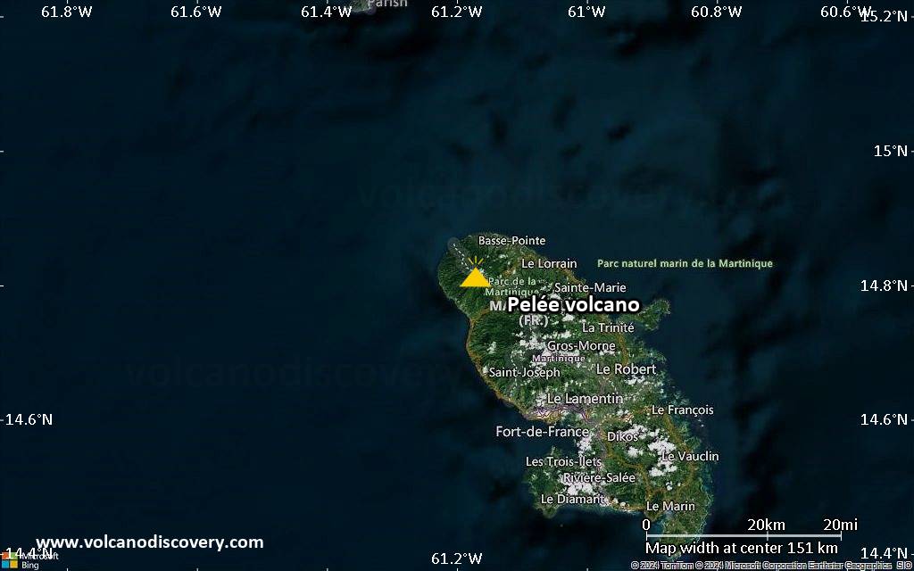
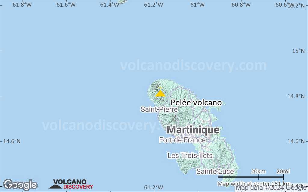
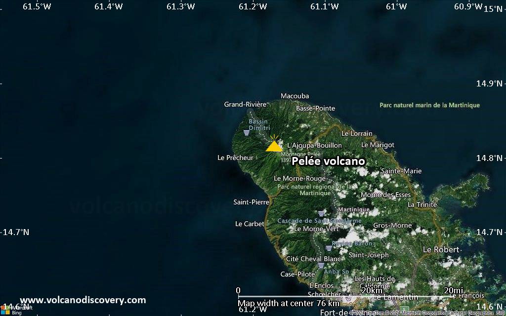
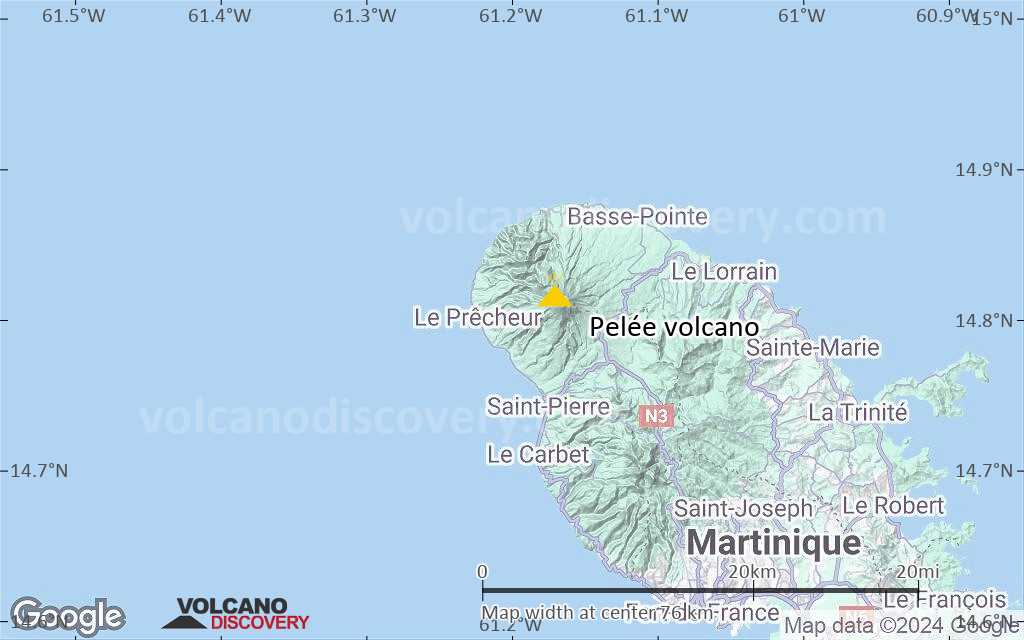
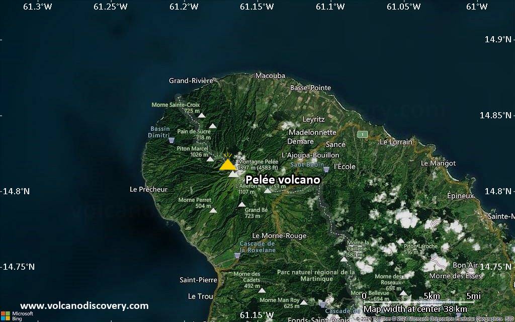
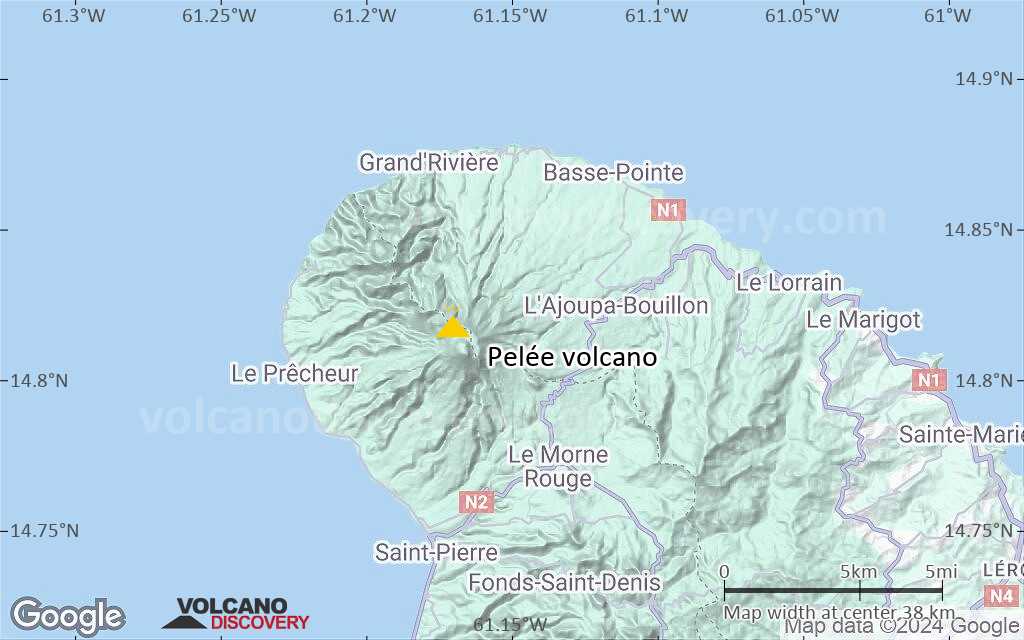
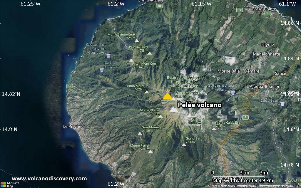
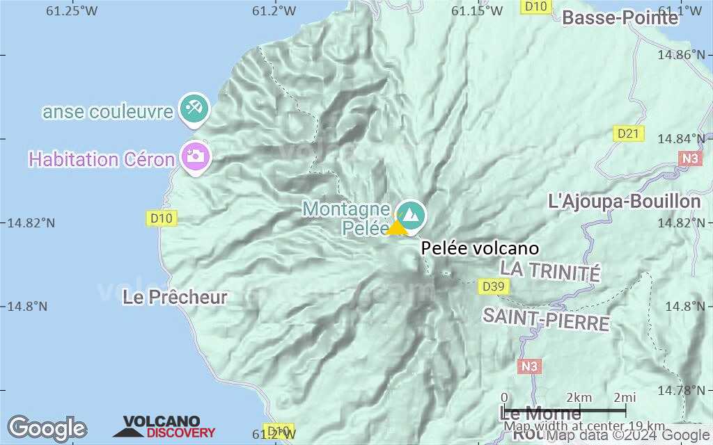
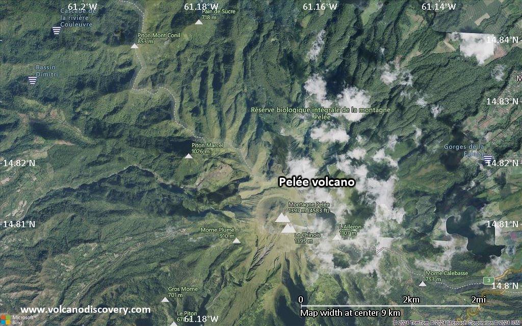
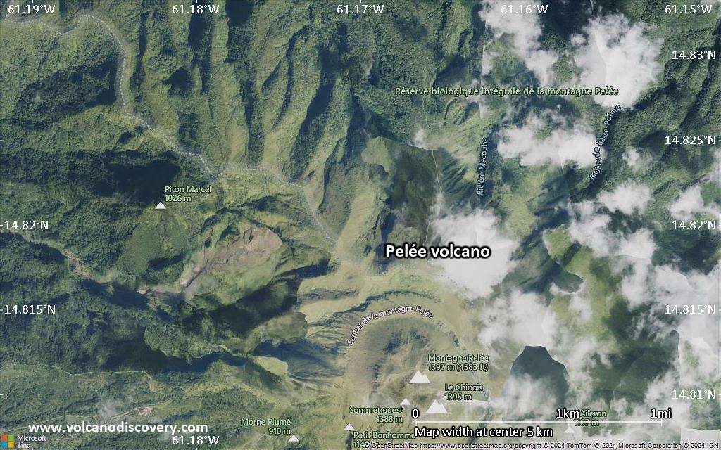
| RSS | EN | DE | EL | ES | FR | IT | RU

Pelée Volcano

Updated: May 22, 2025 02:02 GMT -
Stratovolcano
West Indies, France, 14.82°N / -61.17°W
Summit height: 1397 m / 4,583 ft
Current status: restless (2 out of 5)
Last update: 22 Dec 2021 (weak seismic unrest)

[smaller] [larger]
Typical eruption style: unspecified
Pelée volcano eruptions: 1929-32

Latest nearby earthquakes

Date and TimeMag / DepthDistance / Location
May 21, 01:34 am (Universal Time)
0.0

0.3 km
1.3 km (0.8 mi) to the SE Near Fort-De-France Info
Tuesday, May 20, 2025 GMT (1 quake)
May 20, 08:54 am (Universal Time)
0.9

31 km
5 km (3.1 mi) to the SE 21 km north of Fort-de-France, Martinique Info
Monday, May 19, 2025 GMT (3 quakes)
May 19, 04:58 pm (Universal Time)
1.3

30 km
7.9 km (4.9 mi) to the SE 18 km north of Fort-de-France, Martinique Info
May 19, 04:47 pm (Universal Time)
1.0

34 km
7.1 km (4.4 mi) to the SE 19 km north of Fort-de-France, Martinique Info
May 19, 12:58 am (Universal Time)
1.2

15 km
24 km (15 mi) to the E Caribbean Sea, 12 km northeast of Martinique Island, Martinique Info
Friday, May 9, 2025 GMT (1 quake)
May 9, 12:27 am (Universal Time)
0.5

24 km
1.5 km (0.9 mi) to the S near Fort-De-France Info
Thursday, May 8, 2025 GMT (1 quake)
May 8, 04:26 am (Universal Time)
1.0

158 km
25 km (16 mi) to the E Caribbean Sea, 14 km northeast of Martinique Island, Martinique Info

Background

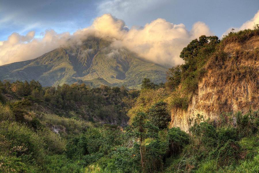
Renowned Montagne Pelée, forming the northern end of the island of Martinique, is the most active volcano of the Lesser Antilles arc. Three major edifice failures since the late Pleistocene, the last about 9000 years ago, have left large horseshoe-shaped calderas breached to the SW inside which the modern volcano has been constructed. More than 20 major eruptions have occurred at Pelée during the past 5000 years. Extensive pyroclastic-flow deposits, incised by steep-walled ravines, mantle the slopes of the volcano. The l'Etang Sec summit crater is filled by two lava domes emplaced during the 1902 and 1929 eruptions. Historical eruptions date back to the 18th century; only two modest phreatic or phreatomagmatic eruptions took place prior to 1902. The catastrophic 1902 eruption, which destroyed the city of St. Pierre, the "Pearl of the Lesser Antilles," became the type-example of pelean eruptions and marked the onset of modern volcanological studies of the behavior of pyroclastic flows.
---
Smithsonian / GVP volcano information

Pelée Volcano Photos

Significant volcanic eruptions: Pelée volcano

In the past 10,000 years, Pelée has had at least 54 confirmed volcanic eruptions, out of which 5 are documented by historical records, while the others can be inferred from geological evidence.
The table below lists all known eruptions (date in bold face) of Pelée volcano in historic times and during the past 10,000 years. Updates on the most recent volcanic activity of Pelée can be found on the news page of Pelée volcano.
DateNoteVEIDeathsDamage
1929 Sep 16 - 1932 Dec 1 ±30 d.
Historical obs./docs.
3
1902 Apr 23 - 1905 Oct 5Rivière Blanche and summit crater
Historical obs./docs.
4
1902 Aug 30
(eruption 1902 Apr 23 - 1905 Oct 5)
Tsunami recorded
Historical obs./docs.
41,500
Info
1902 Jul 10
(eruption 1902 Apr 23 - 1905 Oct 5)
Tsunami recorded
Historical obs./docs.
4
Info
1902 Jun 6
(eruption 1902 Apr 23 - 1905 Oct 5)
Tsunami recorded
Historical obs./docs.
4
Info
1902 May 20
(eruption 1902 Apr 23 - 1905 Oct 5)
Tsunami recorded
Historical obs./docs.
4
light
Info
1902 May 8
(eruption 1902 Apr 23 - 1905 Oct 5)
Tsunami recorded
Historical obs./docs.
428,000
Info
1902 May 5
(eruption 1902 Apr 23 - 1905 Oct 5)
Tsunami recorded
Historical obs./docs.
423
Info
1851 Aug 5 - 1852 Feb 1 ±30 d.Upper Rivière Claire valley (900 m elevation)
Historical obs./docs.
2
1792 Jan 22 - AprUpper Rivière Claire valley
Historical obs./docs.
1
1635 or before AD
Historical obs./docs.
?
1460 ±20 y. AD?
1370 ? AD?
1340 ±50 y. AD4
1260 ±20 y. AD?
1190 ? AD?
910 ? AD?
890 ±100 y. AD4P
720 ? AD?
650 ? AD?
450 ? AD4P
350 ±75 y. AD4
300 ? AD4P
220 ±75 y. AD?
130 ? AD4P
50 ? AD4P
10 ±50 y. AD4
Remark:
Our list of volcanic eruptions closely follows the database of eruptions of the Smithsonian's Global Volcanism Project (GVP), the internationally most recognized data source for volcanic eruptions, but also includes significant eruptive episodes or related volcano events. "Volcanic eruptions" are usually to be understood as sequences of individual eruptive episodes that can follow each other, or even overlap (if several vents are involved), and can last many years, decades or even longer. For example, the current activity of Stromboli volcano is understood as a single eruption that has been ongoing since 1934.
Sources: NOAA National Centers for Environmental Information (NCEI), Global Significant Volcanic Eruptions Database. doi:10.7289/V5TD9V7K | Global Volcanism Project / Smithsonian Institution

Pelée Volcano FAQ

+When was the last eruption of Pelée volcano?

+How often does Pelée volcano erupt?

+How active is Pelée volcano at present?

+When was the largest eruption of Pelée volcano?

Latest satellite images

pelee satellite image sat1pelee satellite image sat2

Pelée Volcano Maps

Below is a selection of maps showing the location and surroundings of the volcano at various resolutions based on aerial-imagery / terrain maps. Feel free to use them for non-commercial purposes on your blog or website as long as you credit them with a link back to this page (click to copy it).
Satellite/aerial-type map of Pelée volcano (world scale)
Terrain-type map of Pelée volcano (world scale)
Satellite/aerial-type map of Pelée volcano (region scale large)
Terrain-type map of Pelée volcano (region scale large)
Satellite/aerial-type map of Pelée volcano (region scale medium)
Terrain-type map of Pelée volcano (region scale medium)
Satellite/aerial-type map of Pelée volcano (region scale small)
Terrain-type map of Pelée volcano (region scale small)
Satellite/aerial-type map of Pelée volcano (local scale large)
Terrain-type map of Pelée volcano (local scale large)
Satellite/aerial-type map of Pelée volcano (local scale medium)
Terrain-type map of Pelée volcano (local scale medium)
Satellite/aerial-type map of Pelée volcano (local scale small)
Terrain-type map of Pelée volcano (local scale small)
Satellite/aerial-type map of Pelée volcano (scale of 10s of km)
Terrain-type map of Pelée volcano (scale of 10s of km)
Satellite/aerial-type map of Pelée volcano (scale of 20-40 km)
Terrain-type map of Pelée volcano (scale of 20-40 km)
Satellite/aerial-type map of Pelée volcano (scale of approx. 10-20 km)
Terrain-type map of Pelée volcano (scale of approx. 10-20 km)
Satellite/aerial-type map of Pelée volcano (scale of 5-10 km)
Satellite/aerial-type map of Pelée volcano (scale of few kilometers)
Volcanoes & Earthquakes - new app for Android
Guaranteed tours
9-25 Jun 2025: Volcanoes and Spices - Sulawesi/Halmahera (Indonesia)
7-22 Jul 2025: From Krakatau to Bali - Java (Indonesia)
7-23 Jul 2025: Volcanoes and Spices - Sulawesi/Halmahera (Indonesia)
1-17 Aug 2025: Volcanoes and Spices - Sulawesi/Halmahera (Indonesia)
1-14 Oct 2025: Desert, salt and volcanoes - Danakil desert (Ethiopia)
4-12 Oct 2025: From Stromboli to Etna - Sicily and Eolian Islands (Italy)
6-21 Oct 2025: From Krakatau to Bali - Java (Indonesia)
3-19 Nov 2025: Volcanoes and Spices - Sulawesi/Halmahera (Indonesia)
= spaces available   = guaranteed   = few spaces left   = booked out
Thu, 10 Jun 2021, 06:36

Mt Pelée volcano (Martinique Island): small tremors continue as signs of volcanic unrest

Location of earthquakes under Mt Pelée during the past 14 days
The volcano remains restless. Seismic activity continues to be slightly above background levels, showing that the volcano might be potentially preparing itself for new activity in a medium-term future (months or years from now). ... Read all
Wed, 24 Mar 2021, 06:00

Pelee volcano (Martinique, France) - Smithsonian / USGS Weekly Volcanic Activity Report for 24 March-30 March 2021 (New Activity / Unrest)

L'Observatoire Volcanologique et Sismologique de Martinique (OVSM) reported that seismicity at Pelée increased during 19-26 March. The seismic network recorded at least 55 high-frequency volcano-tectonic earthquakes with magnitudes less than or equal to 1, located at depths between 1.7 km below sea level and 1 km above sea level. The Alert Level remained at Yellow (the second lowest level on a four-color scale). ... Read all

On this page:

Try our free app!
Volcanoes & Earthquakes - new app for Android
Android | iOS version

More on VolcanoDiscovery

Why is there advertising on this site?

Support us - Help us upgrade our services!

We truly love working to bring you the latest volcano and earthquake data from around the world. Maintaining our website and our free apps does require, however, considerable time and resources.
We need financing to increase hard- and software capacity as well as support our editor team. We're aiming to achieve uninterrupted service wherever an earthquake or volcano eruption unfolds, and your donations can make it happen! Every donation will be highly appreciated. If you find the information useful and would like to support our team in integrating further features, write great content, and in upgrading our soft- and hardware, please make a donation (PayPal).

Planned features:Thanks to your past donations, these features have been added recently:
Download and Upgrade the Volcanoes & Earthquakes app to get one of the fastest seismic and volcano alerts online:
Android | IOS
Thank you!
Sources: VolcanoDiscovery / VolcanoAdventures and other sources as noted.
Use of material: Most text and images on our websites are owned by us. Re-use is generally not permitted without authorization. Contact us for licensing rights.
Volcanoes & Earthquakes
VolcanoDiscovery Home
Volcanoes | Earthquakes | Photos | Volcano News | | Shop | App
Adventure & Study Travel
Tours to Volcanoes and Volcanic Areas: walking tours, photo tours, study tours
Tours & Dates | FAQ | About us
Get our newsletter!
Company info
Contact | Legal info | Terms & conditions
Follow us
Follow us on facebook Follow us on Instagram Follow us on Bluesky Follow us on Twitter Visit our Youtube channel
EN | DE | EL | ES | FR | IT | RU
VolcanoDiscovery GmbH, Germany, Reg. nr.: HRB 103744, EU Tax Id: DE 297 465 123 owned and created by
Dr. Tom Pfeiffer, volcanologist, volcano photographer, tour organizer member of
IAVCEI
IAVCEI
Vulkanologische Gesellschaft
Volcanological Society
Ecotourism Greece
Ecotourism Greece
RUV insurance
Insured by R+V
VolcanoDiscovery © 2004- All Rights Reserved | Privacy - Cookie Settings