


Piip Volcano
Updated: May 13, 2025 22:21 GMT -
Submarine volcano
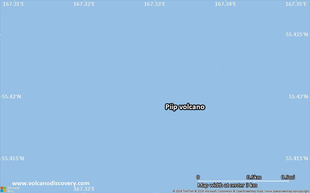
East of Kamchatka Peninsula, Russia, 55.42°N / 167.33°E 
Summit height: -300 m / - 984 ft
Current status: normal or dormant (1 out of 5)
[smaller] [larger]
Piip volcano eruptions: 5050 BC (?)
Latest nearby earthquakes
| Date and Time | Mag / Depth | Distance / Location | |||
|---|---|---|---|---|---|
Background
Dredged rocks from the summits of volcanic cones rising from 2500 m depth to within a few hundred meters of the surface yielded fresh dacitic lavas and pumice apparently of Holocene age (Fedotov et al., 1989; Seliverstov et al., 1986). Tephrochronological studies on the Commander Islands suggest that the latest tephras from Piip volcano may be as young as a few centuries, and echograms indicate present-day gas emission from the volcano. The three steep-sided volcanic cones were constructed along a N-S trend and lie about 140-150 km from the axis of the Aleutian trench, a similar distance as other Aleutian arc volcanoes. The southern and northern cones exceed the central cone in size and have craters open to the SW about 500 and 300 m wide, respectively. A lava dome occupies the southern crater, and other domes or parasitic cones are found on the summit cones and flanks of the edifice. Vigorous gas emission from the northern cone rises about 300 m from "black smoker" vents on the crater floor.---
Smithsonian / GVP volcano information
Significant volcanic eruptions: Piip volcano
No historic eruptions are known from Piip volcano, but at least one eruption in 5050 BC can be inferred from geological evidence.
The table below lists all known eruptions (date in bold face) of Piip volcano in historic times and during the past 10,000 years. Updates on the most recent volcanic activity of Piip can be found on the news page of Piip volcano.
| Date | Note | VEI | Deaths | Damage | |
|---|---|---|---|---|---|
| ? | |||||
Remark:
Our list of volcanic eruptions closely follows the database of eruptions of the Smithsonian's Global Volcanism Project (GVP), the internationally most recognized data source for volcanic eruptions, but also includes significant eruptive episodes or related volcano events. "Volcanic eruptions" are usually to be understood as sequences of individual eruptive episodes that can follow each other, or even overlap (if several vents are involved), and can last many years, decades or even longer. For example, the current activity of Stromboli volcano is understood as a single eruption that has been ongoing since 1934.
Sources: NOAA National Centers for Environmental Information (NCEI), Global Significant Volcanic Eruptions Database. doi:10.7289/V5TD9V7K | Global Volcanism Project / Smithsonian Institution
Piip Volcano FAQ
+When was the last eruption of Piip volcano?
The last confirmed eruption of Piip occurred in 5050 BC.
Latest satellite images

Piip Volcano Maps
Below is a selection of maps showing the location and surroundings of the volcano at various resolutions based on aerial-imagery / terrain maps. Feel free to use them for non-commercial purposes on your blog or website as long as you credit them with a link back to this page (click to copy it).
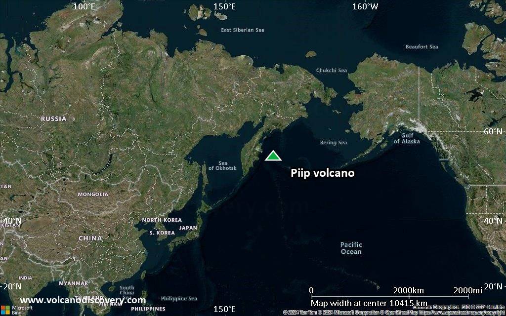
Satellite/aerial-type map of Piip volcano (world scale)

Terrain-type map of Piip volcano (world scale)

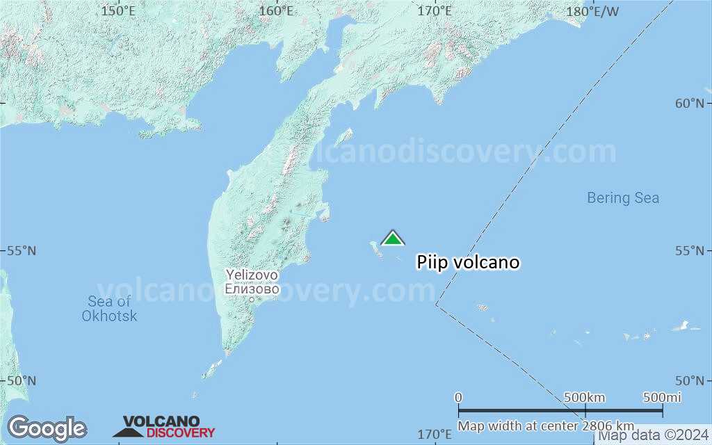
Satellite/aerial-type map of Piip volcano (region scale large)
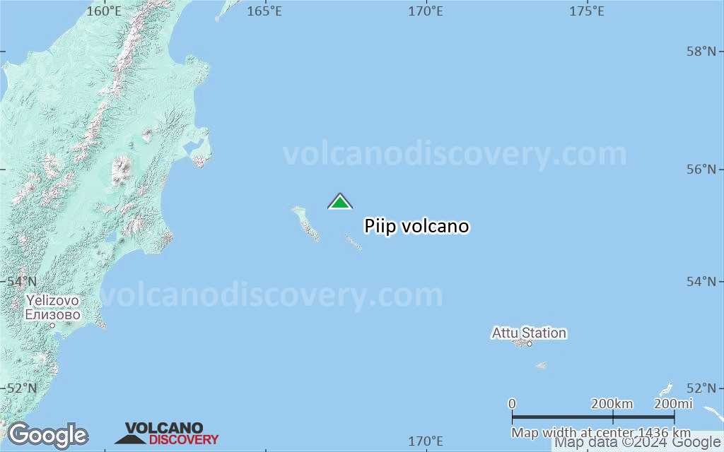
Terrain-type map of Piip volcano (region scale large)
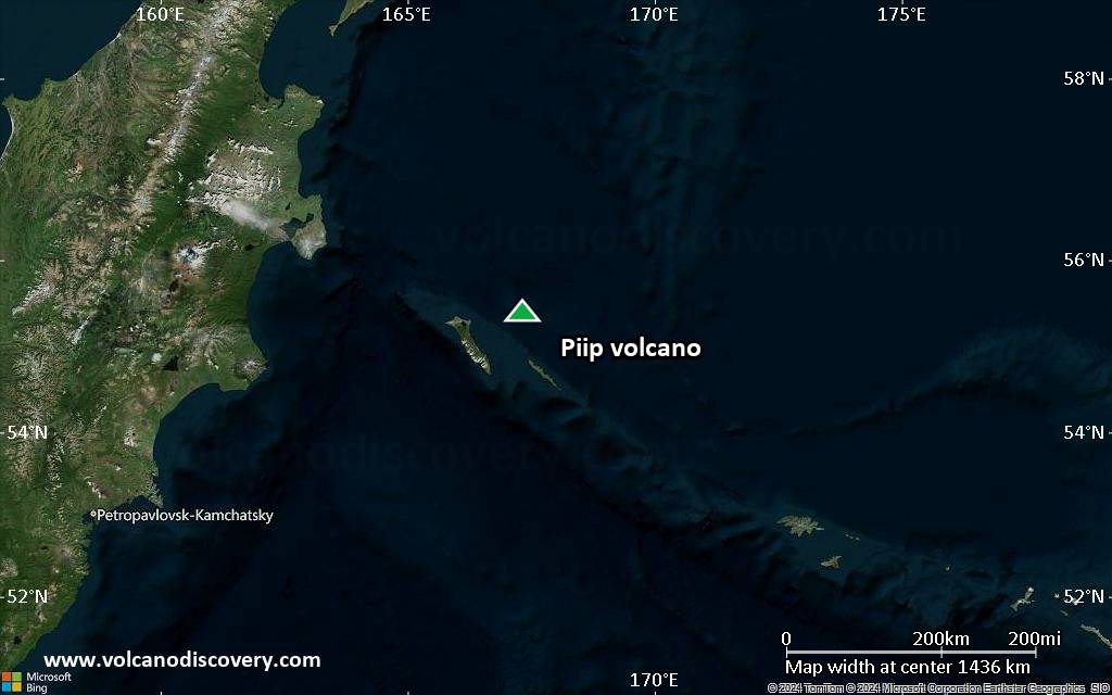
Satellite/aerial-type map of Piip volcano (region scale medium)
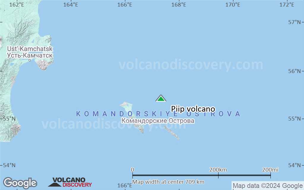
Terrain-type map of Piip volcano (region scale medium)

Satellite/aerial-type map of Piip volcano (region scale small)
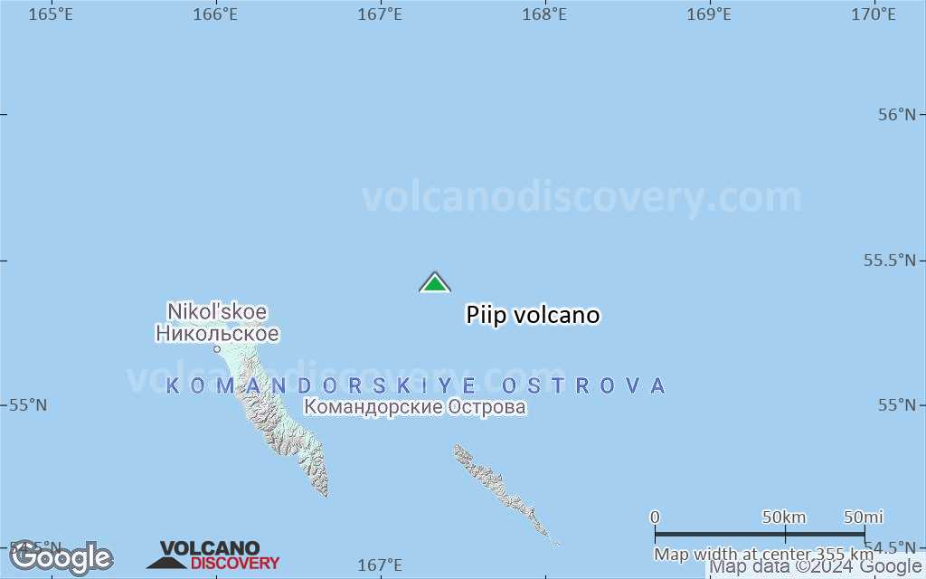
Terrain-type map of Piip volcano (region scale small)

Satellite/aerial-type map of Piip volcano (local scale large)
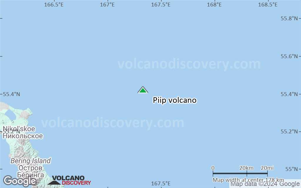
Terrain-type map of Piip volcano (local scale large)

Satellite/aerial-type map of Piip volcano (local scale medium)
Terrain-type map of Piip volcano (local scale medium)
Satellite/aerial-type map of Piip volcano (local scale small)

Terrain-type map of Piip volcano (local scale small)
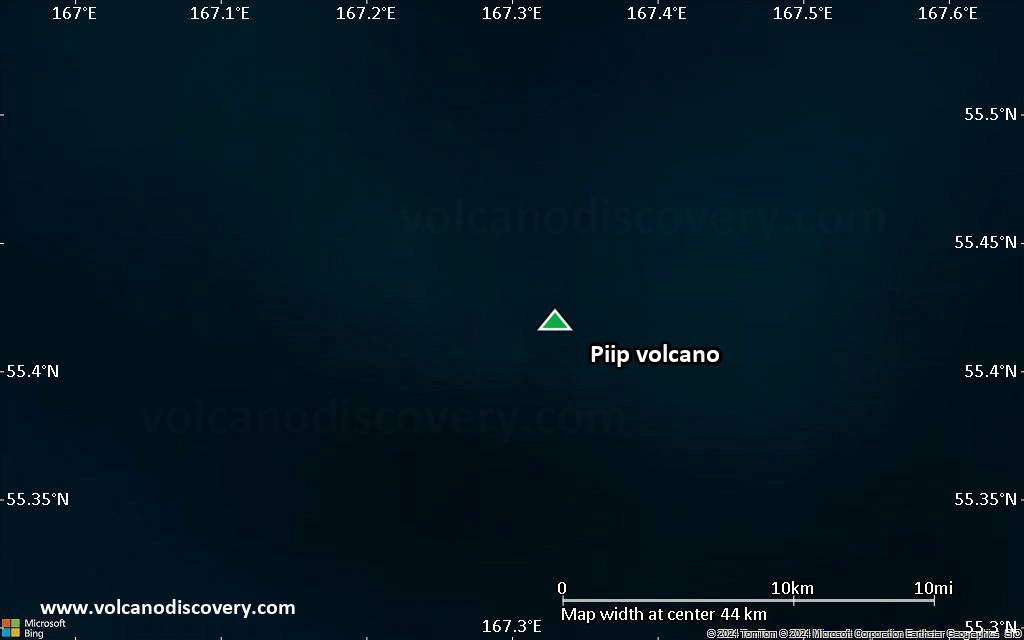
Satellite/aerial-type map of Piip volcano (scale of 10s of km)

Terrain-type map of Piip volcano (scale of 10s of km)
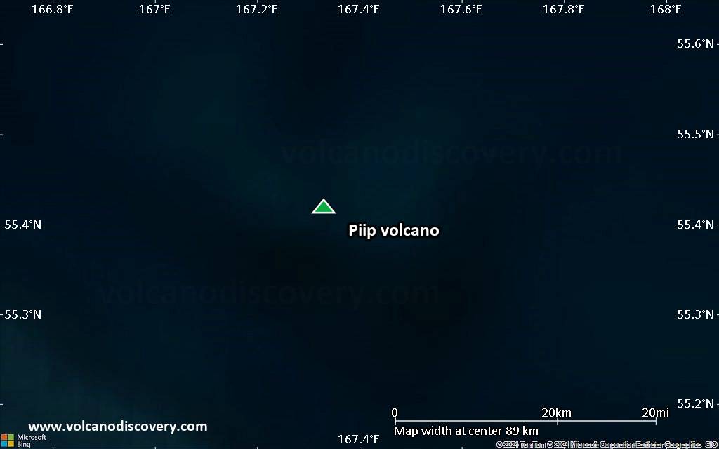
Satellite/aerial-type map of Piip volcano (scale of 20-40 km)

Terrain-type map of Piip volcano (scale of 20-40 km)
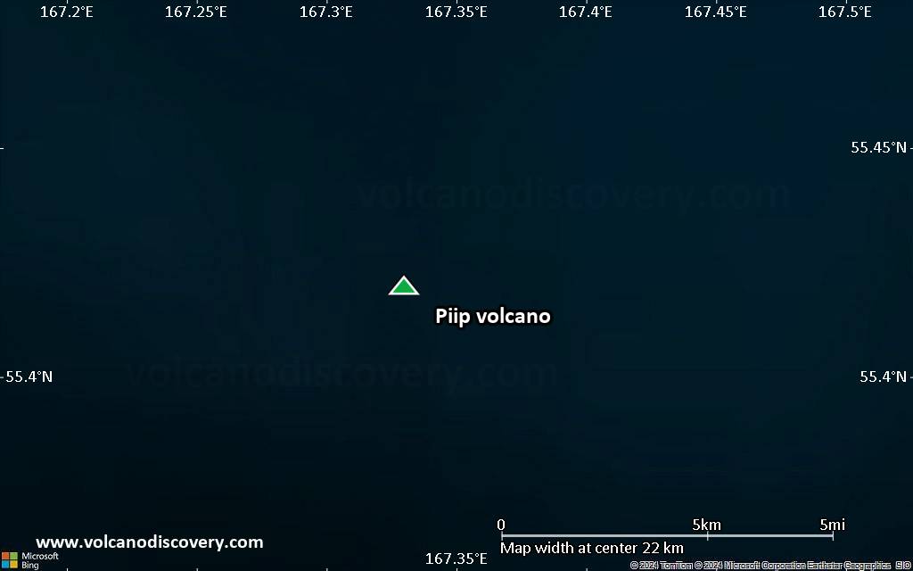
Satellite/aerial-type map of Piip volcano (scale of approx. 10-20 km)

Terrain-type map of Piip volcano (scale of approx. 10-20 km)

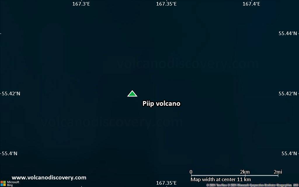
Satellite/aerial-type map of Piip volcano (scale of 5-10 km)
Satellite/aerial-type map of Piip volcano (scale of few kilometers)


