Ringgit Volcano
Updated: Jun 17, 2025 03:45 GMT -
Stratovolcano
Indonesia, -7.72°S / 113.85°E 
Summit height: 1250 m / 4101 ft
Current status: (probably) extinct (0 out of 5)
[smaller] [larger]
Ringgit volcano eruptions: None during the past 10,000 years
Less than few million years ago (Pleistocene)
Latest nearby earthquakes
| Date and Time | Mag / Depth | Distance / Location | |||
|---|---|---|---|---|---|
| Jun 13, 12:49 am (Jakarta) | 3.6 10 km | 16 km (10.2 mi) to the SW | Info | ||
Background
Ringgit volcano in eastern Java is of Plio-Pleistocene age, dated to about 1.2-0.5 Ma (van Bemmelen 1941; Leterrier et al., 1990). Eruptions mentioned by Von Wolff (1929) in 1586, 1593, and 1597 are attributed to Raung. Ringgit's products generally consist of leucite basanites and tephras (Leterrier et al., 1990).---
Source: Smithsonian / GVP volcano information
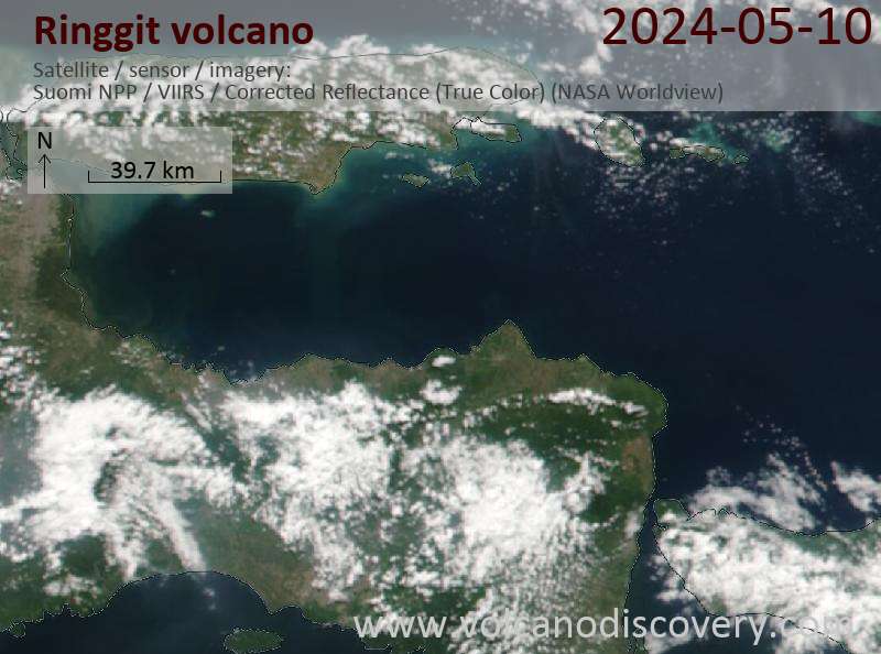
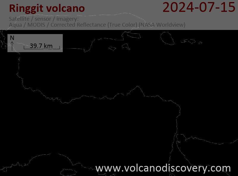
Latest satellite images
Ringgit Volcano Maps
Below is a selection of maps showing the location and surroundings of the volcano at various resolutions based on aerial-imagery / terrain maps. Feel free to use them for non-commercial purposes on your blog or website as long as you credit them with a link back to this page (click to copy it).
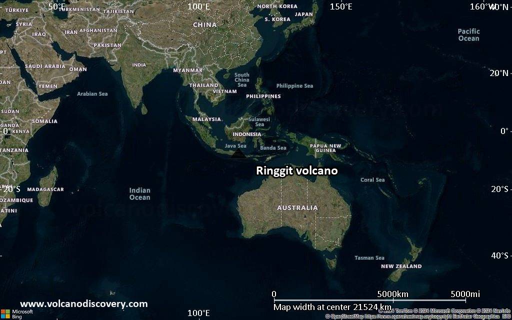
Satellite/aerial-type map of Ringgit volcano (world scale)
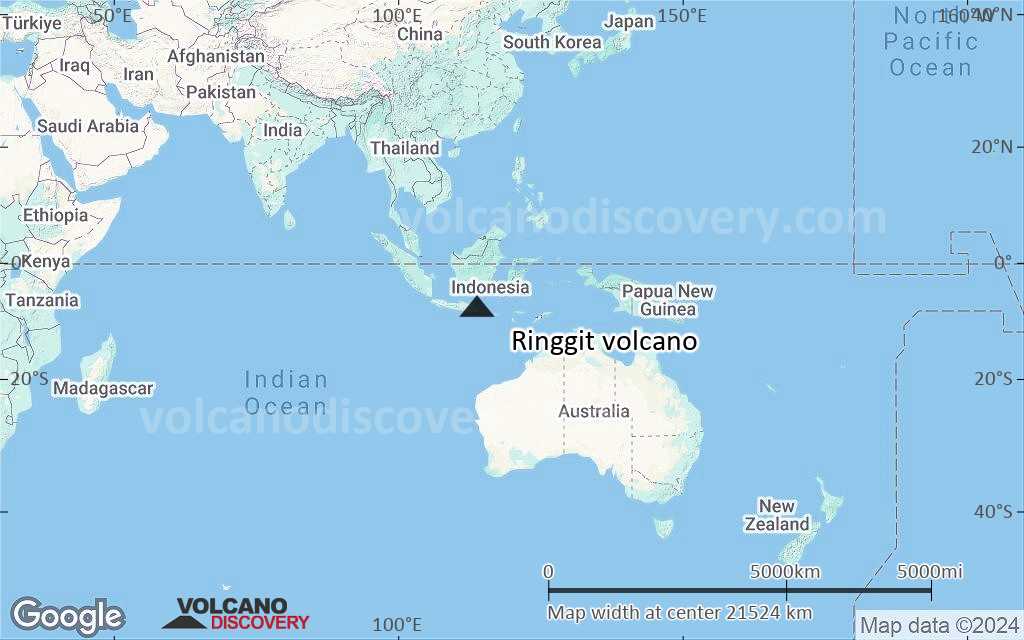
Terrain-type map of Ringgit volcano (world scale)

Satellite/aerial-type map of Ringgit volcano (region scale large)

Terrain-type map of Ringgit volcano (region scale large)

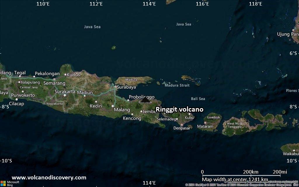
Satellite/aerial-type map of Ringgit volcano (region scale medium)

Terrain-type map of Ringgit volcano (region scale medium)
Satellite/aerial-type map of Ringgit volcano (region scale small)

Terrain-type map of Ringgit volcano (region scale small)

Satellite/aerial-type map of Ringgit volcano (local scale large)

Terrain-type map of Ringgit volcano (local scale large)

Satellite/aerial-type map of Ringgit volcano (local scale medium)

Terrain-type map of Ringgit volcano (local scale medium)

Satellite/aerial-type map of Ringgit volcano (local scale small)

Terrain-type map of Ringgit volcano (local scale small)

Satellite/aerial-type map of Ringgit volcano (scale of 10s of km)

Terrain-type map of Ringgit volcano (scale of 10s of km)

Satellite/aerial-type map of Ringgit volcano (scale of 20-40 km)

Terrain-type map of Ringgit volcano (scale of 20-40 km)

Satellite/aerial-type map of Ringgit volcano (scale of approx. 10-20 km)

Terrain-type map of Ringgit volcano (scale of approx. 10-20 km)

Satellite/aerial-type map of Ringgit volcano (scale of 5-10 km)

Satellite/aerial-type map of Ringgit volcano (scale of few kilometers)