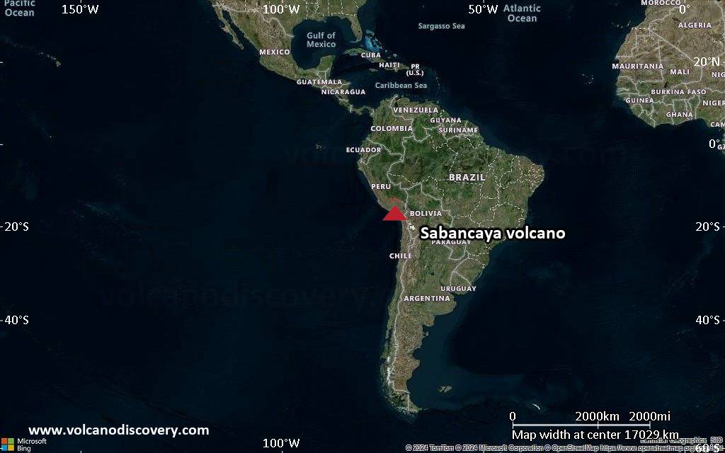
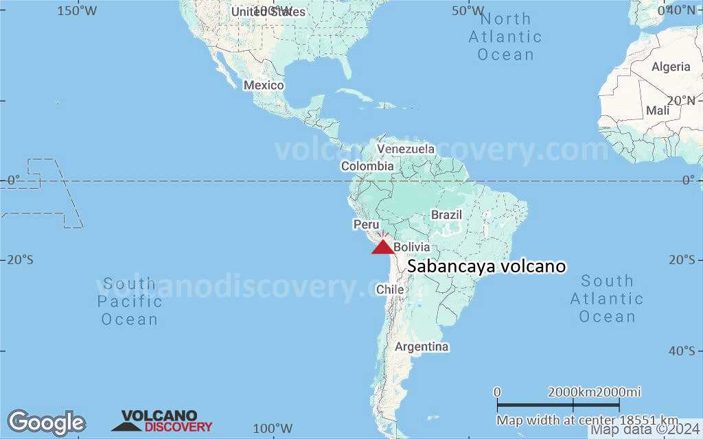
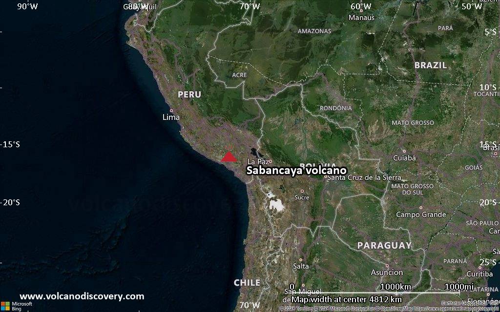
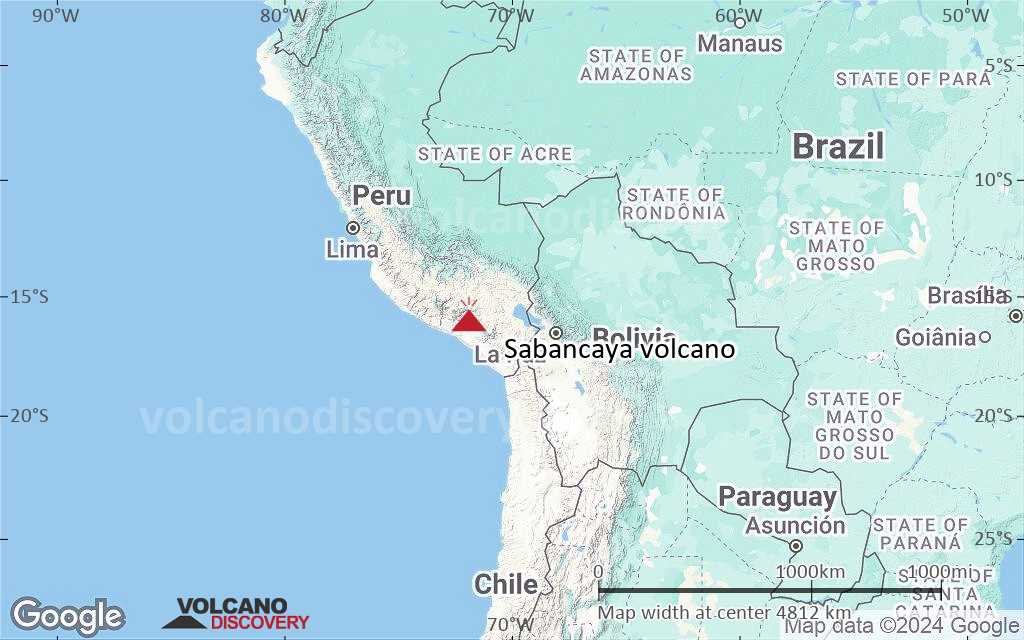
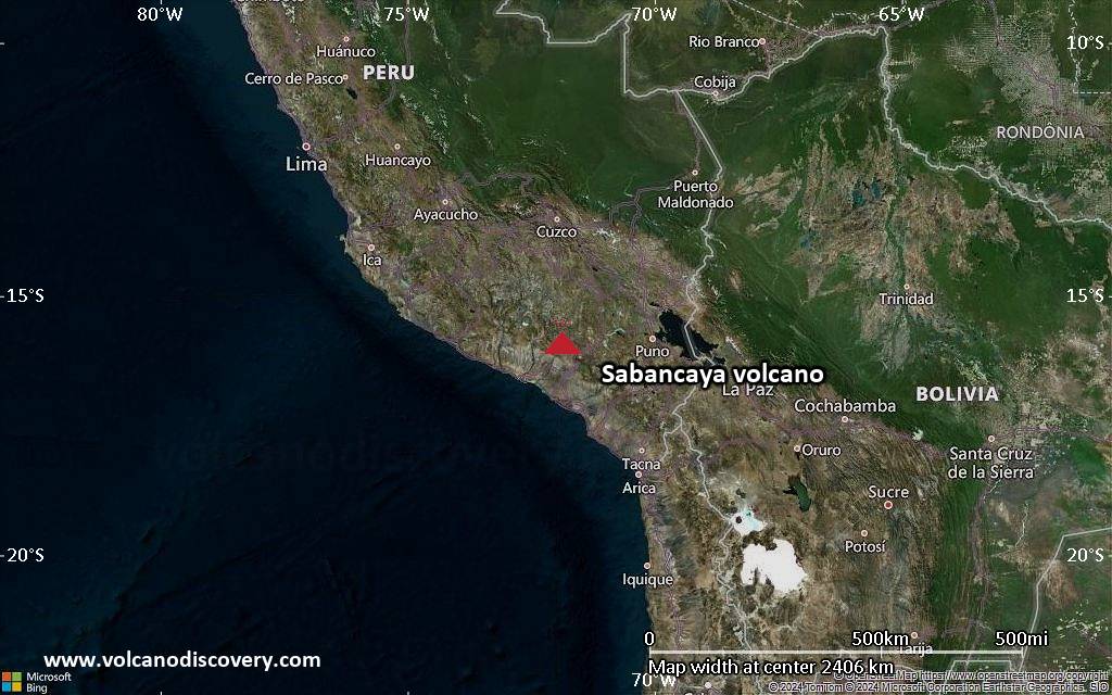
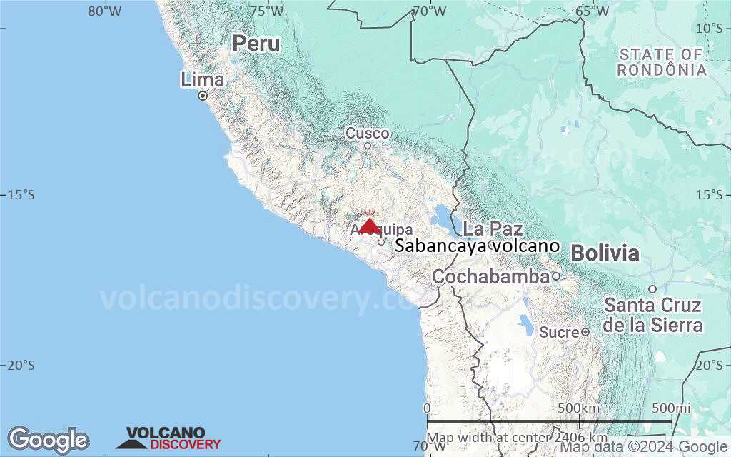
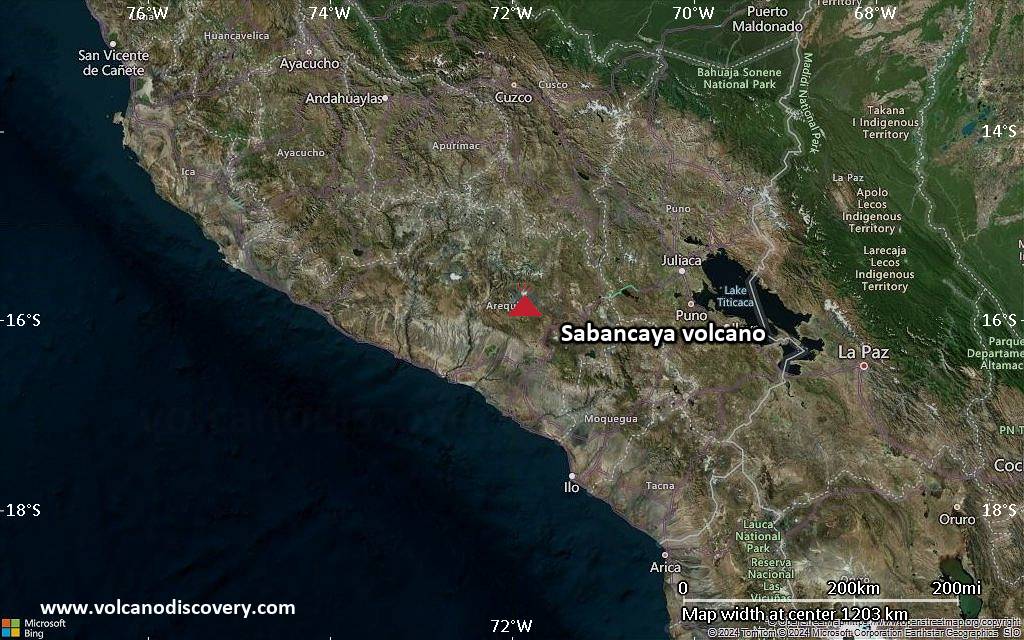
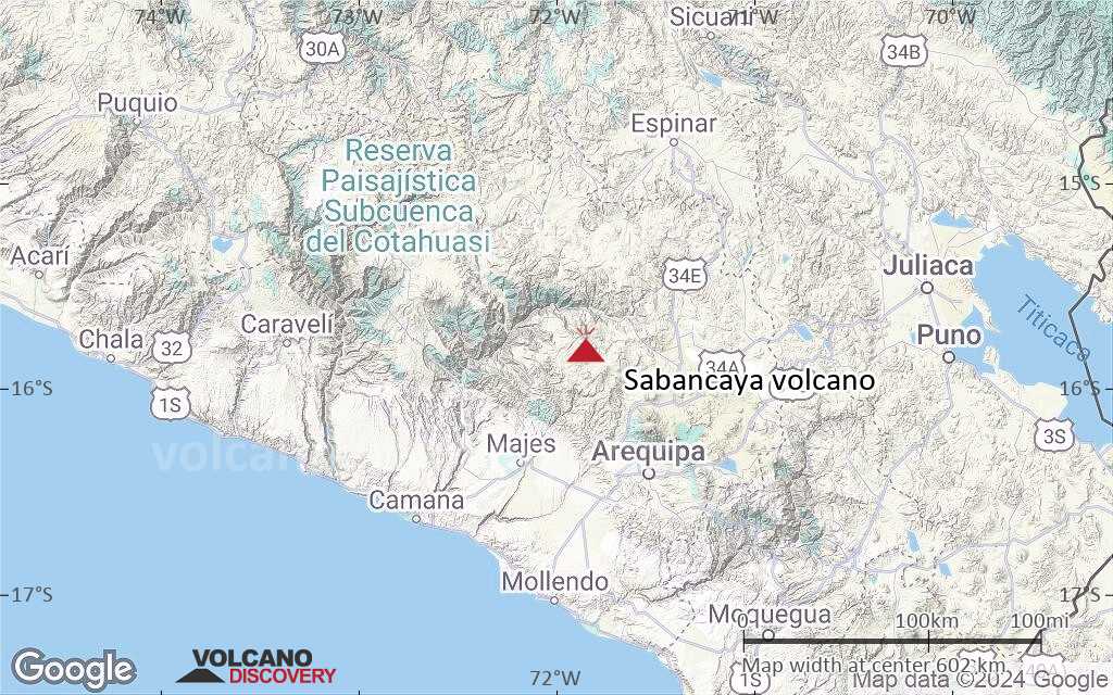
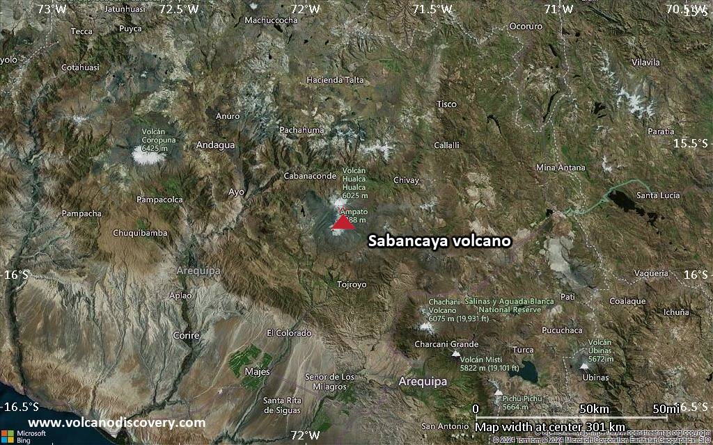
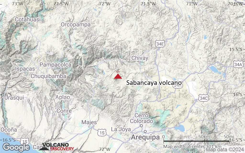
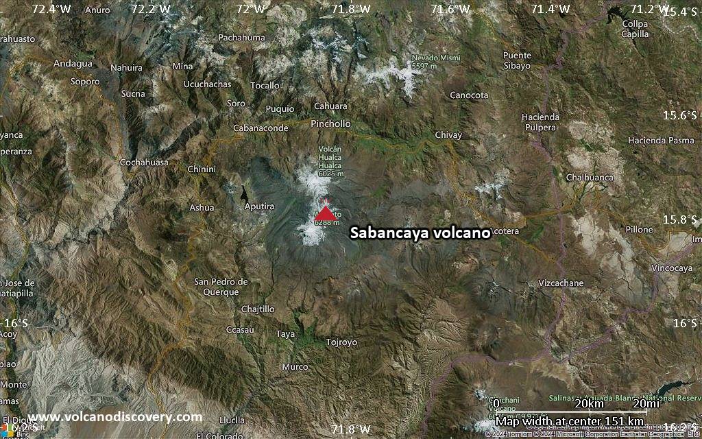
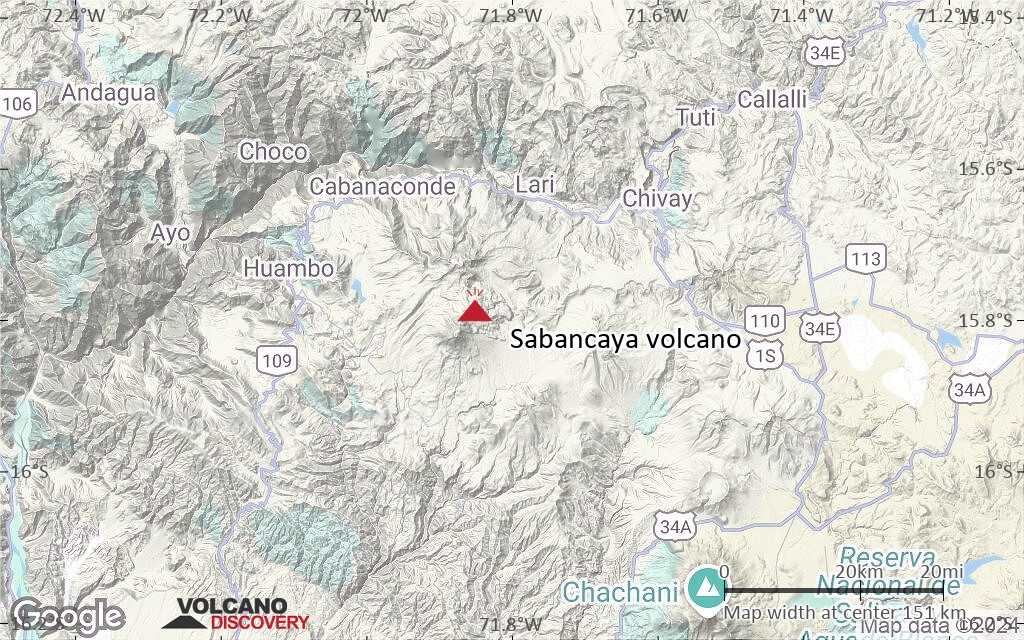
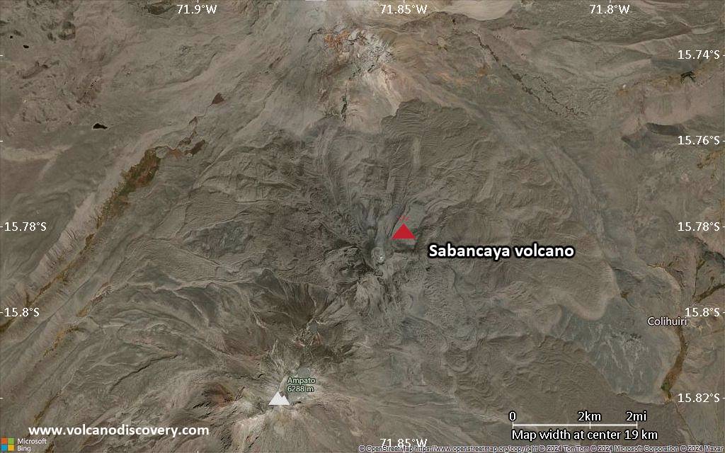
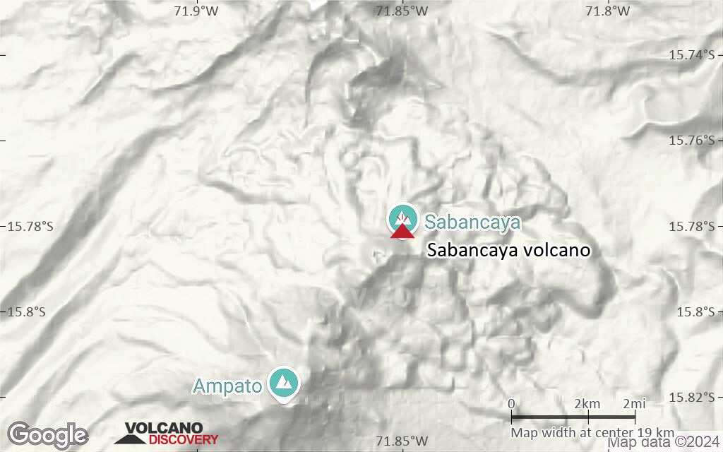
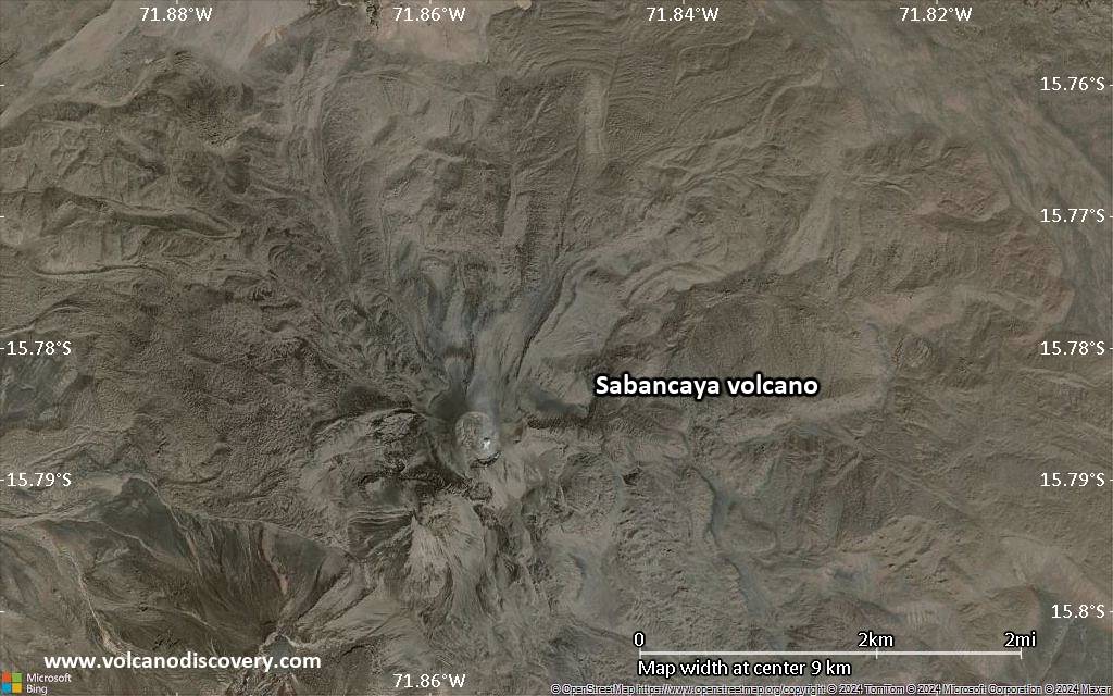
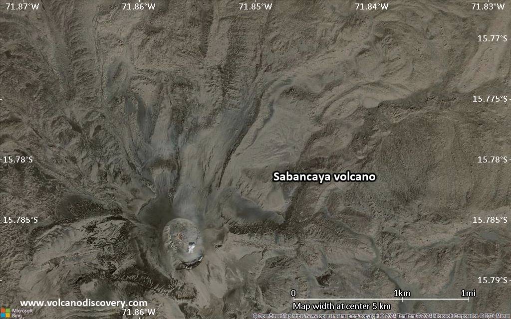
| RSS | EN | DE | EL | ES | FR | IT | RU

Sabancaya Volcano

Updated: May 1, 2025 04:23 GMT -
stratovolcano
Peru, -15.78°S / -71.85°W
Summit height: 5967 m / 19,577 ft
Current status: erupting (4 out of 5)
Last update: 25 Apr 2025 (Volcanic Ash Advisory)

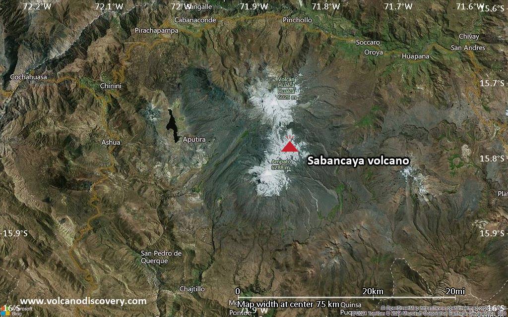
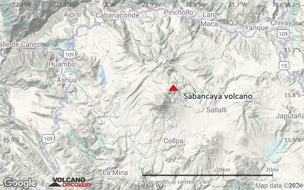
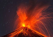
Sabancaya volcano (its name meaning "tongue of fire" in Quechua Indian language) is located in the southern Peruvian Andes and one of Peru's most active volcanoes.
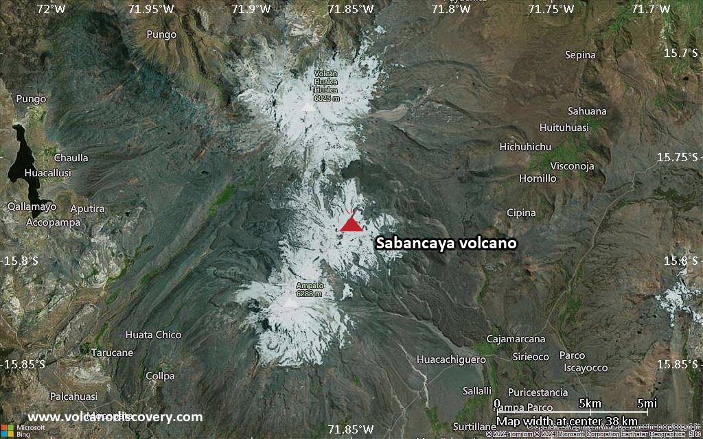
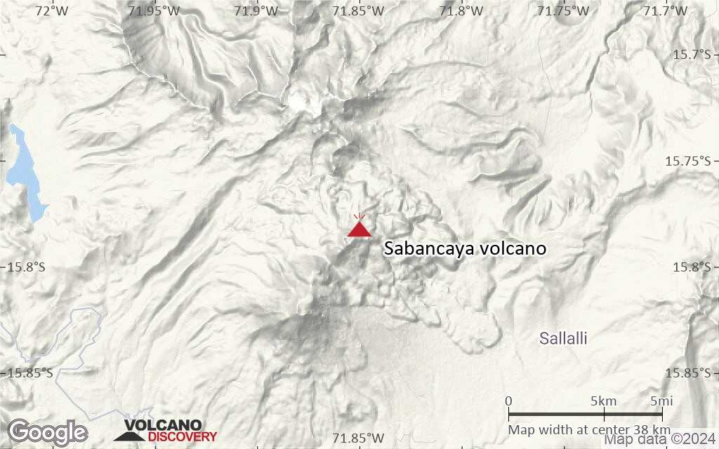
The stratovolcano is covered with several glaciers and located in the saddle between the older stratovolcanoes Ampato (6288 m) and Hualca Hualca (6025 m) and the only one of the group that has erupted in historic times.
Sabancaya belongs to one of South America's volcanoes with the oldest recorded history of eruptions.
Historic records of eruptions from Sabancaya date back to 1750, but its name already appears in written accounts from 1595 AD, suggesting that it had been active around or before that date as well.

[smaller] [larger]
Typical eruption style: explosive and effusive
Sabancaya volcano eruptions: 2016, 2015, 2014, 2003, 2000, 1998, 1997, 1990-95, 1988, 1986, 1784, 1750, <1595(?)

Latest nearby earthquakes

Date and TimeMag / DepthDistance / Location

Background

Both Nevado Ampato and Nevado Sabancaya show only little erosion due to glacial cover, suggesting that much of their summit edifices are geologically young.
Activity within the past 10,000 years consisted of explosive plinian eruptions followed by effusive eruptions of voluminous andesitic and dacitic lava flows. These flows surround the volcano on all sides except the north flank.

Significant volcanic eruptions: Sabancaya volcano

In the past 10,000 years, Sabancaya has had at least 12 confirmed volcanic eruptions, out of which 9 are documented by historical records, while the others can be inferred from geological evidence.
Additionally, there are 2 uncertain or discredited eruptions from Sabancaya volcano.
The table below lists all known eruptions (date in bold face) of Sabancaya volcano in historic times and during the past 10,000 years. Updates on the most recent volcanic activity of Sabancaya can be found on the news page of Sabancaya volcano.
DateNoteVEIDeathsDamage
2016 Nov 6 - ongoingSabancaya crater
Historical obs./docs.
3
2015 Mar 8 - Dec 12Summit crater
Historical obs./docs.
1
?? 2014 Aug 5 - Dec 27
Uncertain Eruption
Historical obs./docs.
1
2003 Jul 30 ±1 d. - Jul 31 ?
Historical obs./docs.
2?
2000 Apr 16 ±15 d. - Oct 29 or later
Historical obs./docs.
2
1990 May 28 - 1998 Sep 16 ±15 d.
Historical obs./docs.
3
1988 Jun 22 - Oct 16 ±15 d.
Historical obs./docs.
1
?? 1987 Aug 7
Uncertain Eruption
2?
1986 Dec 16 ±15 d.
Historical obs./docs.
1
1784 Jul
Historical obs./docs.
?
1750
Historical obs./docs.
?
1350 ±150 y. AD?
3490 ±40 y. BC0
6600 ? BC?
Remark:
Our list of volcanic eruptions closely follows the database of eruptions of the Smithsonian's Global Volcanism Project (GVP), the internationally most recognized data source for volcanic eruptions, but also includes significant eruptive episodes or related volcano events. "Volcanic eruptions" are usually to be understood as sequences of individual eruptive episodes that can follow each other, or even overlap (if several vents are involved), and can last many years, decades or even longer. For example, the current activity of Stromboli volcano is understood as a single eruption that has been ongoing since 1934.
Sources: NOAA National Centers for Environmental Information (NCEI), Global Significant Volcanic Eruptions Database. doi:10.7289/V5TD9V7K | Global Volcanism Project / Smithsonian Institution

Sabancaya Volcano FAQ

+When was the last eruption of Sabancaya volcano?

+How often does Sabancaya volcano erupt?

+How active is Sabancaya volcano at present?

+When was the largest eruption of Sabancaya volcano?

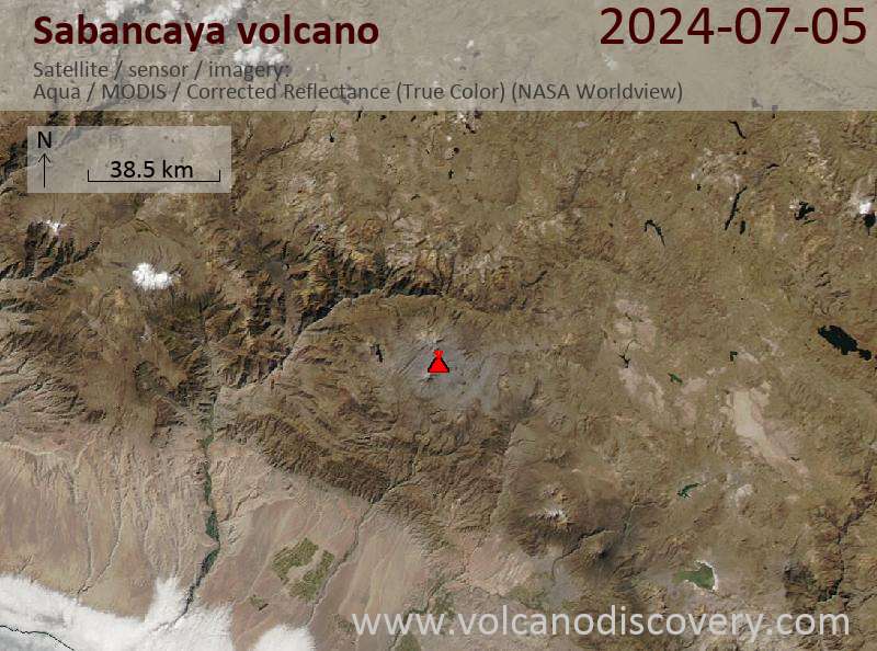
Latest satellite images

Sabancaya satellite image sat1Sabancaya satellite image sat2

Sabancaya Volcano Maps

Below is a selection of maps showing the location and surroundings of the volcano at various resolutions based on aerial-imagery / terrain maps. Feel free to use them for non-commercial purposes on your blog or website as long as you credit them with a link back to this page (click to copy it).
Satellite/aerial-type map of Sabancaya volcano (world scale)
Terrain-type map of Sabancaya volcano (world scale)
Satellite/aerial-type map of Sabancaya volcano (region scale large)
Terrain-type map of Sabancaya volcano (region scale large)
Satellite/aerial-type map of Sabancaya volcano (region scale medium)
Terrain-type map of Sabancaya volcano (region scale medium)
Satellite/aerial-type map of Sabancaya volcano (region scale small)
Terrain-type map of Sabancaya volcano (region scale small)
Satellite/aerial-type map of Sabancaya volcano (local scale large)
Terrain-type map of Sabancaya volcano (local scale large)
Satellite/aerial-type map of Sabancaya volcano (local scale medium)
Terrain-type map of Sabancaya volcano (local scale medium)
Satellite/aerial-type map of Sabancaya volcano (local scale small)
Terrain-type map of Sabancaya volcano (local scale small)
Satellite/aerial-type map of Sabancaya volcano (scale of 10s of km)
Terrain-type map of Sabancaya volcano (scale of 10s of km)
Satellite/aerial-type map of Sabancaya volcano (scale of 20-40 km)
Terrain-type map of Sabancaya volcano (scale of 20-40 km)
Satellite/aerial-type map of Sabancaya volcano (scale of approx. 10-20 km)
Terrain-type map of Sabancaya volcano (scale of approx. 10-20 km)
Satellite/aerial-type map of Sabancaya volcano (scale of 5-10 km)
Satellite/aerial-type map of Sabancaya volcano (scale of few kilometers)
Volcanoes & Earthquakes - new app for Android
Guaranteed tours
9-25 Jun 2025: Volcanoes and Spices - Sulawesi/Halmahera (Indonesia)
7-22 Jul 2025: From Krakatau to Bali - Java (Indonesia)
7-23 Jul 2025: Volcanoes and Spices - Sulawesi/Halmahera (Indonesia)
1-17 Aug 2025: Volcanoes and Spices - Sulawesi/Halmahera (Indonesia)
1-14 Oct 2025: Desert, salt and volcanoes - Danakil desert (Ethiopia)
4-12 Oct 2025: From Stromboli to Etna - Sicily and Eolian Islands (Italy)
6-21 Oct 2025: From Krakatau to Bali - Java (Indonesia)
3-19 Nov 2025: Volcanoes and Spices - Sulawesi/Halmahera (Indonesia)
= spaces available   = guaranteed   = few spaces left   = booked out
Wed, 5 Mar 2025, 15:00

Sabancaya volcano (Peru) - Smithsonian / USGS Weekly Volcanic Activity Report for 26 February-4 March 2025 (Continuing Activity)

The Instituto Geofísico del Perú (IGP) reported no explosions, thermal anomalies, or significant deformation at Sabancaya during 24 February-2 March. Gas-and-steam plumes rose as high as 700 m above the summit and drifted W, SW, and NW. Sulfur dioxide emissions were at moderate levels, averaging 216 tons per day. ... Read all

On this page:

Try our free app!
Volcanoes & Earthquakes - new app for Android
Android | iOS version

More on VolcanoDiscovery

Why is there advertising on this site?

Support us - Help us upgrade our services!

We truly love working to bring you the latest volcano and earthquake data from around the world. Maintaining our website and our free apps does require, however, considerable time and resources.
We need financing to increase hard- and software capacity as well as support our editor team. We're aiming to achieve uninterrupted service wherever an earthquake or volcano eruption unfolds, and your donations can make it happen! Every donation will be highly appreciated. If you find the information useful and would like to support our team in integrating further features, write great content, and in upgrading our soft- and hardware, please make a donation (PayPal).

Planned features:Thanks to your past donations, these features have been added recently:
Download and Upgrade the Volcanoes & Earthquakes app to get one of the fastest seismic and volcano alerts online:
Android | IOS
Thank you!
Sources: VolcanoDiscovery / VolcanoAdventures and other sources as noted.
Use of material: Most text and images on our websites are owned by us. Re-use is generally not permitted without authorization. Contact us for licensing rights.
Volcanoes & Earthquakes
VolcanoDiscovery Home
Volcanoes | Earthquakes | Photos | Volcano News | | Shop | App
Adventure & Study Travel
Tours to Volcanoes and Volcanic Areas: walking tours, photo tours, study tours
Tours & Dates | FAQ | About us
Get our newsletter!
Company info
Contact | Legal info | Terms & conditions
Follow us
Follow us on facebook Follow us on Instagram Follow us on Bluesky Follow us on Twitter Visit our Youtube channel
EN | DE | EL | ES | FR | IT | RU
VolcanoDiscovery GmbH, Germany, Reg. nr.: HRB 103744, EU Tax Id: DE 297 465 123 owned and created by
Dr. Tom Pfeiffer, volcanologist, volcano photographer, tour organizer member of
IAVCEI
IAVCEI
Vulkanologische Gesellschaft
Volcanological Society
Ecotourism Greece
Ecotourism Greece
RUV insurance
Insured by R+V
VolcanoDiscovery © 2004- All Rights Reserved | Privacy - Cookie Settings