Sahand Volcano
Updated: Jun 19, 2025 06:24 GMT -
stratovolcano
Iran, 37.75°N / 46.43°E 
Summit height: 3707 m / 12,162 ft
Current status: normal or dormant (1 out of 5)
Sahand volcano (also known as Kuh-e-Sahand) is a stratovolcano in NW Iran, about 60 km east of Lake Urmia (Azarbayjan-e Gharbi) and 40 km SSE of Tabriz city.
There are no known historic eruptions, but the volcano is possibly still active and has probably erupted within the past 10,000 years.
[smaller] [larger]
Sahand volcano eruptions: less than 10,000 years ago, no recent eruptions
Latest nearby earthquakes
| Date and Time | Mag / Depth | Distance / Location | |||
|---|---|---|---|---|---|
Background
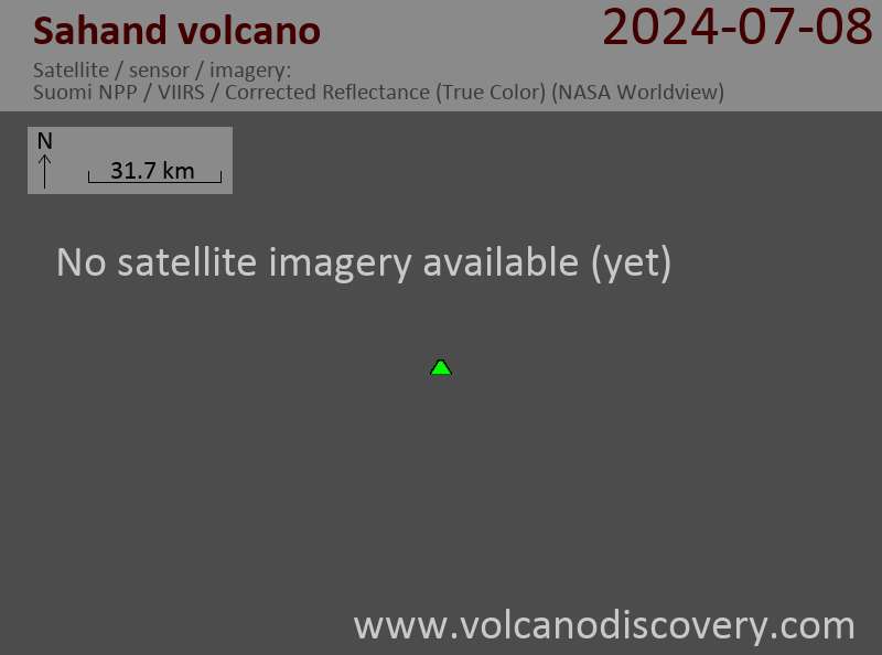
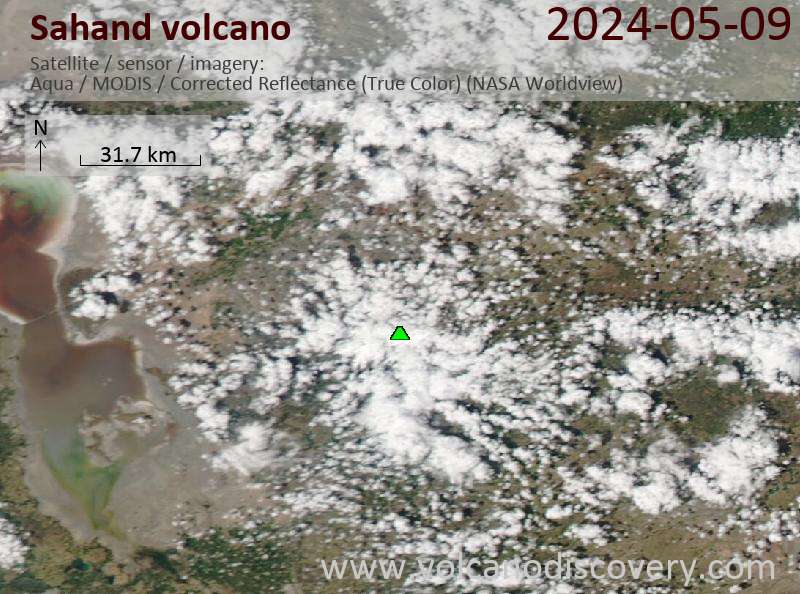
Sahand is a massive, extensively eroded calc-alkaline stratovolcano, and one of the highest peaks in the Azarbaijan region. The volcano contains numerous lava domes on the lower flanks of the volcano.Latest satellite images
Sahand Volcano Maps
Below is a selection of maps showing the location and surroundings of the volcano at various resolutions based on aerial-imagery / terrain maps. Feel free to use them for non-commercial purposes on your blog or website as long as you credit them with a link back to this page (click to copy it).
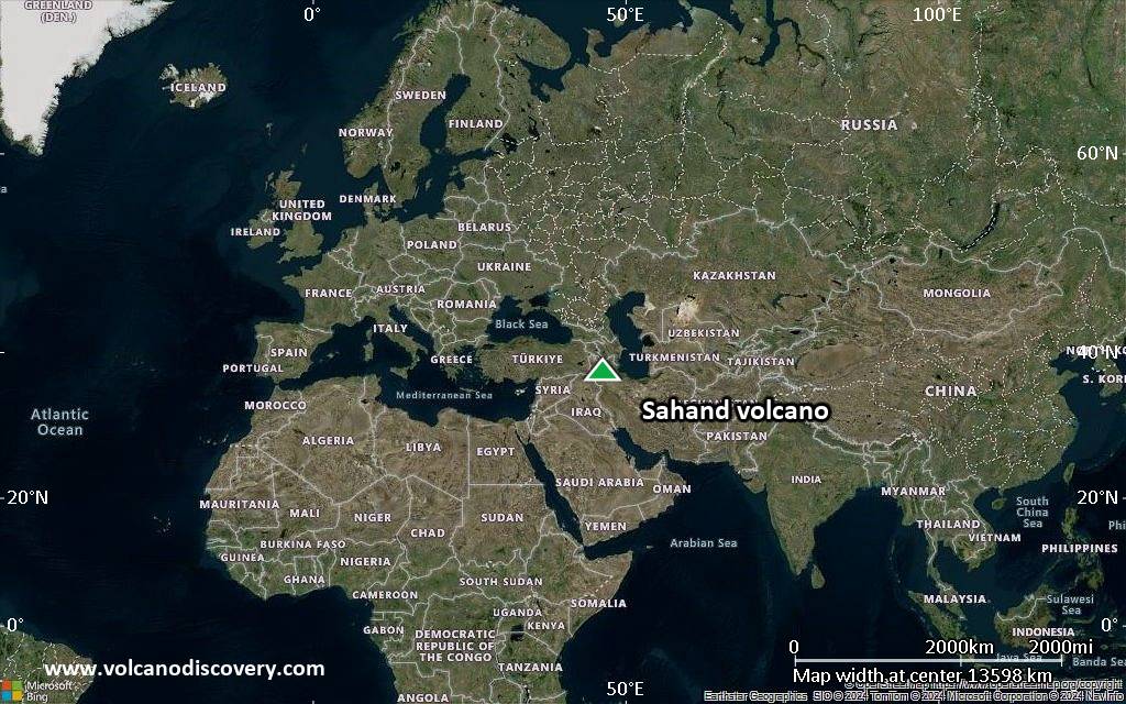
Satellite/aerial-type map of Sahand volcano (world scale)
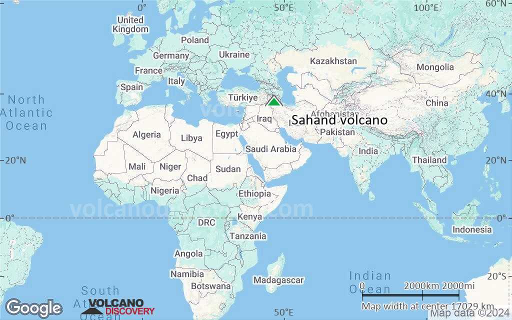
Terrain-type map of Sahand volcano (world scale)
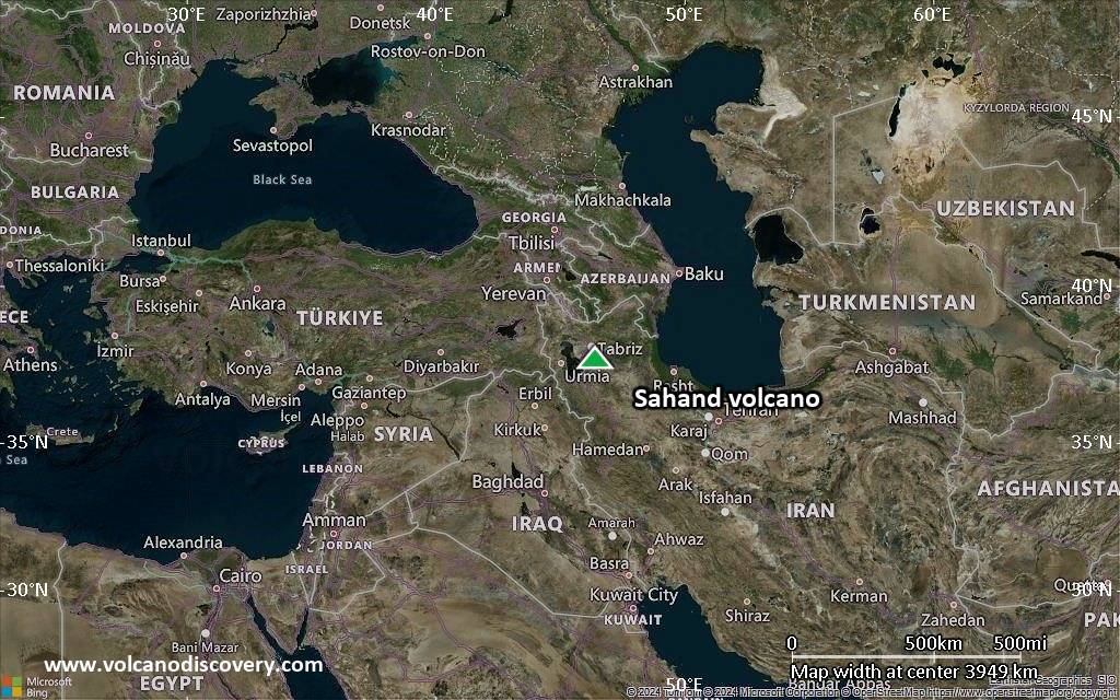
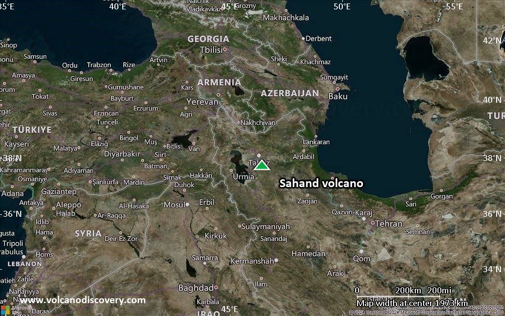
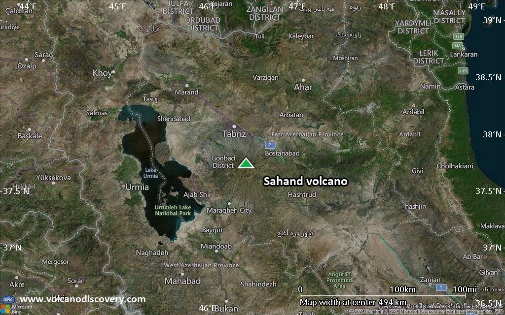
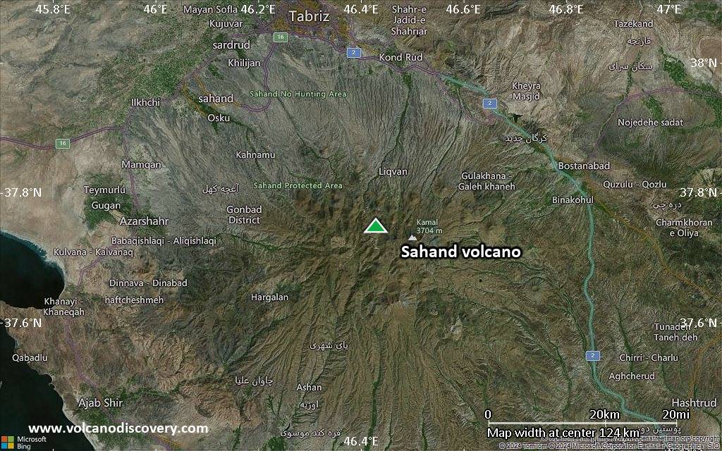
Satellite/aerial-type map of Sahand volcano (region scale large)
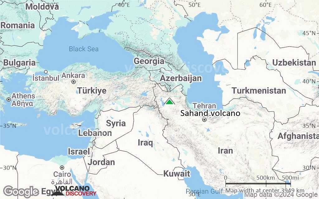
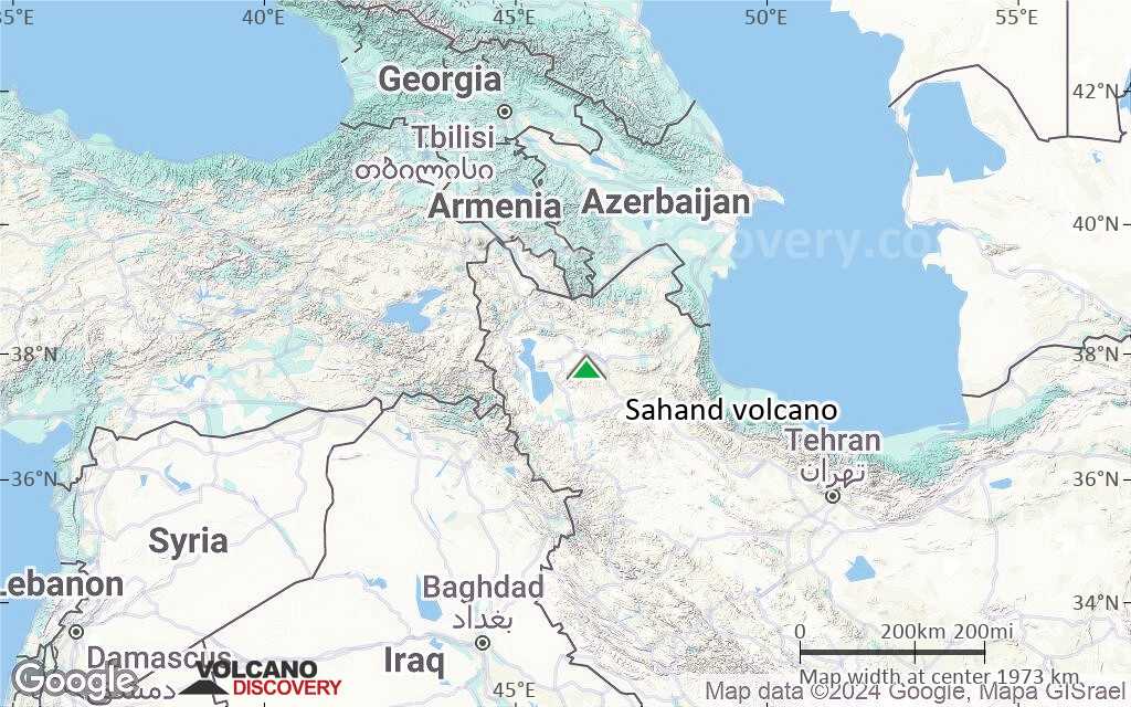
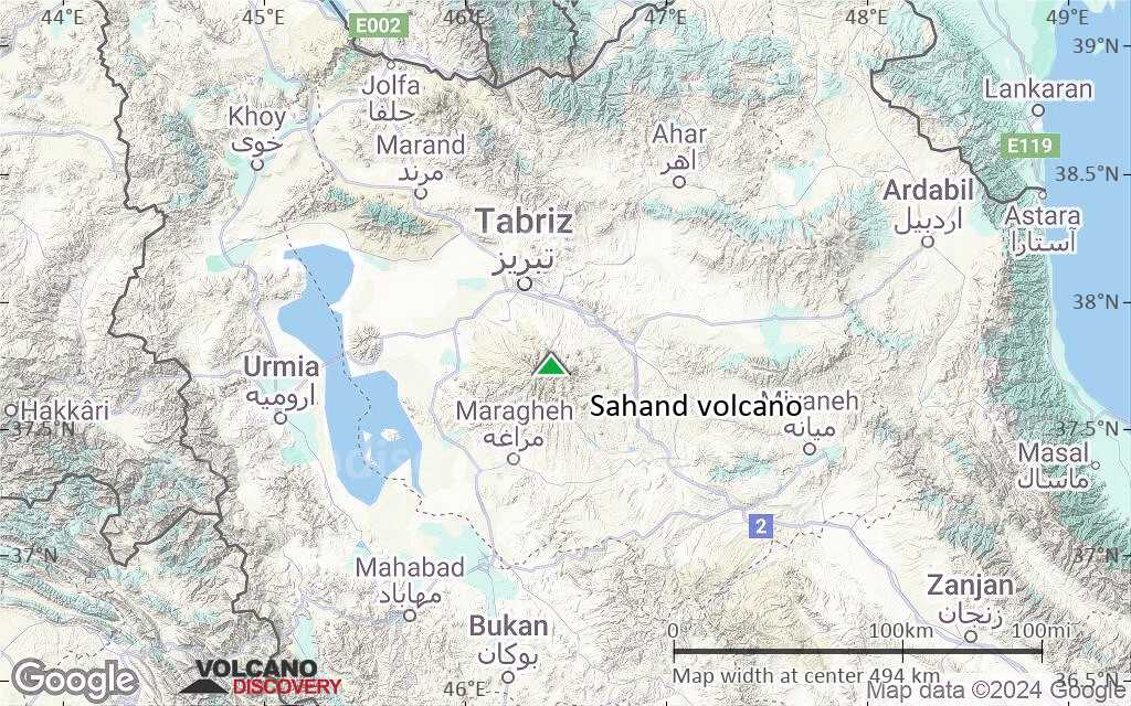
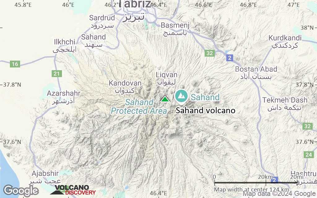
Terrain-type map of Sahand volcano (region scale large)
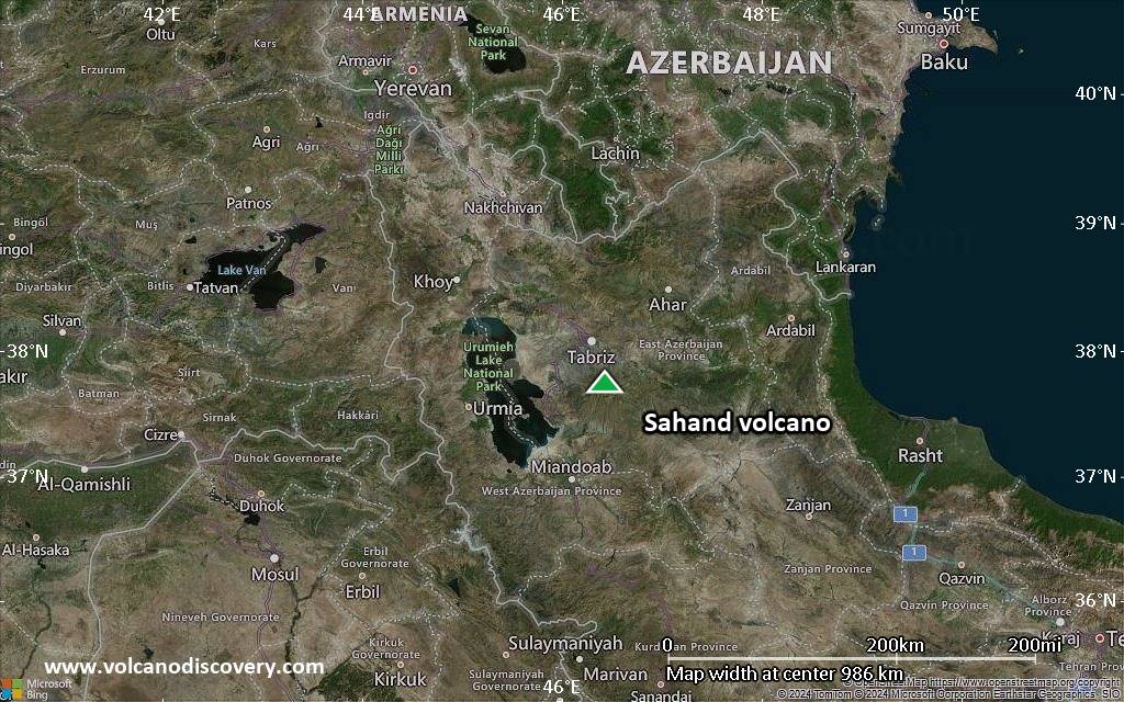
Satellite/aerial-type map of Sahand volcano (region scale medium)
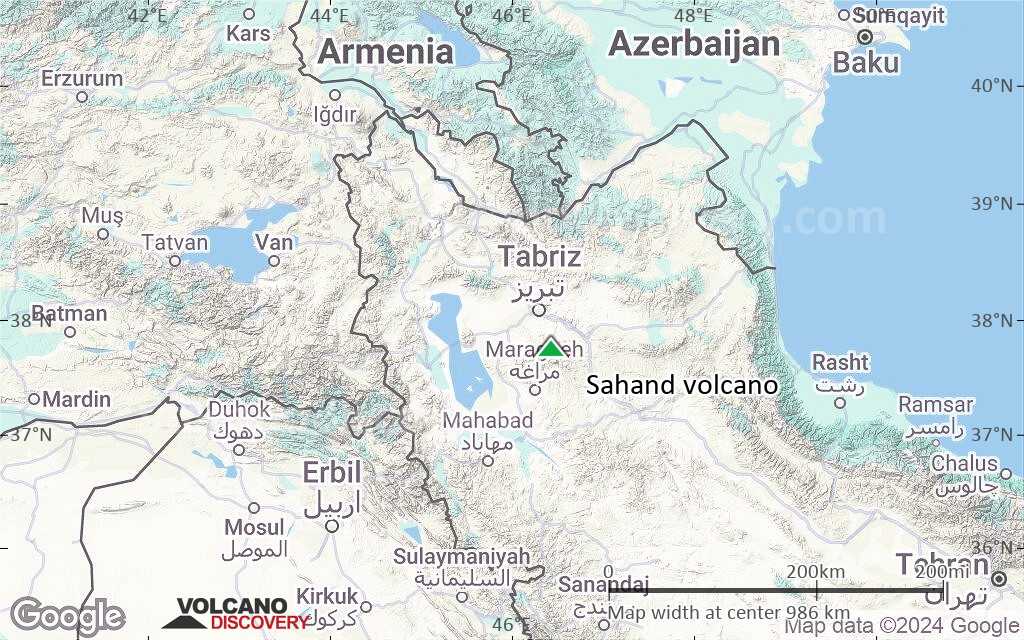
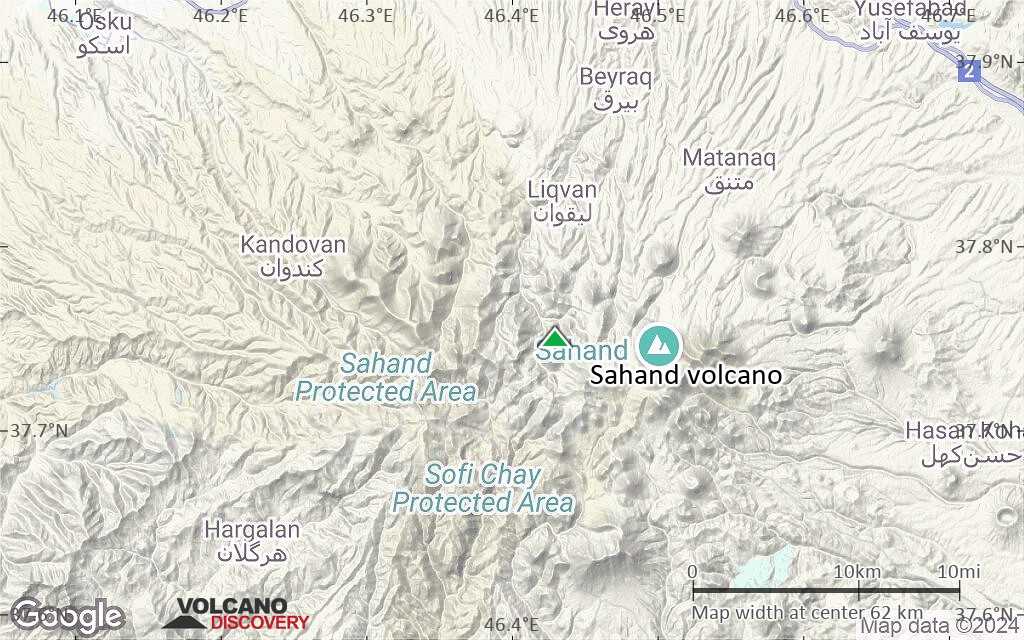
Terrain-type map of Sahand volcano (region scale medium)
Satellite/aerial-type map of Sahand volcano (region scale small)
Terrain-type map of Sahand volcano (region scale small)
Satellite/aerial-type map of Sahand volcano (local scale large)
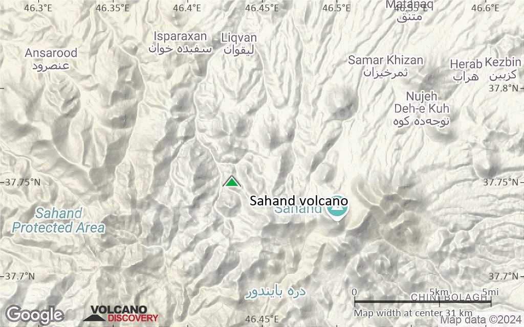
Terrain-type map of Sahand volcano (local scale large)
Satellite/aerial-type map of Sahand volcano (local scale medium)
Terrain-type map of Sahand volcano (local scale medium)
Satellite/aerial-type map of Sahand volcano (local scale small)
Terrain-type map of Sahand volcano (local scale small)

Satellite/aerial-type map of Sahand volcano (scale of 10s of km)
Terrain-type map of Sahand volcano (scale of 10s of km)

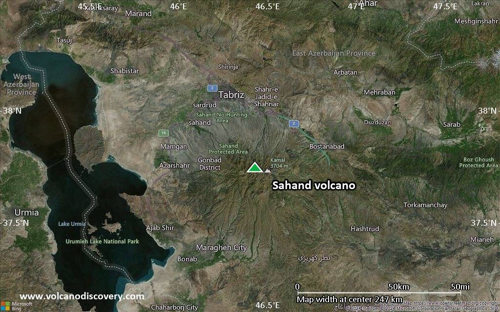
Satellite/aerial-type map of Sahand volcano (scale of 20-40 km)
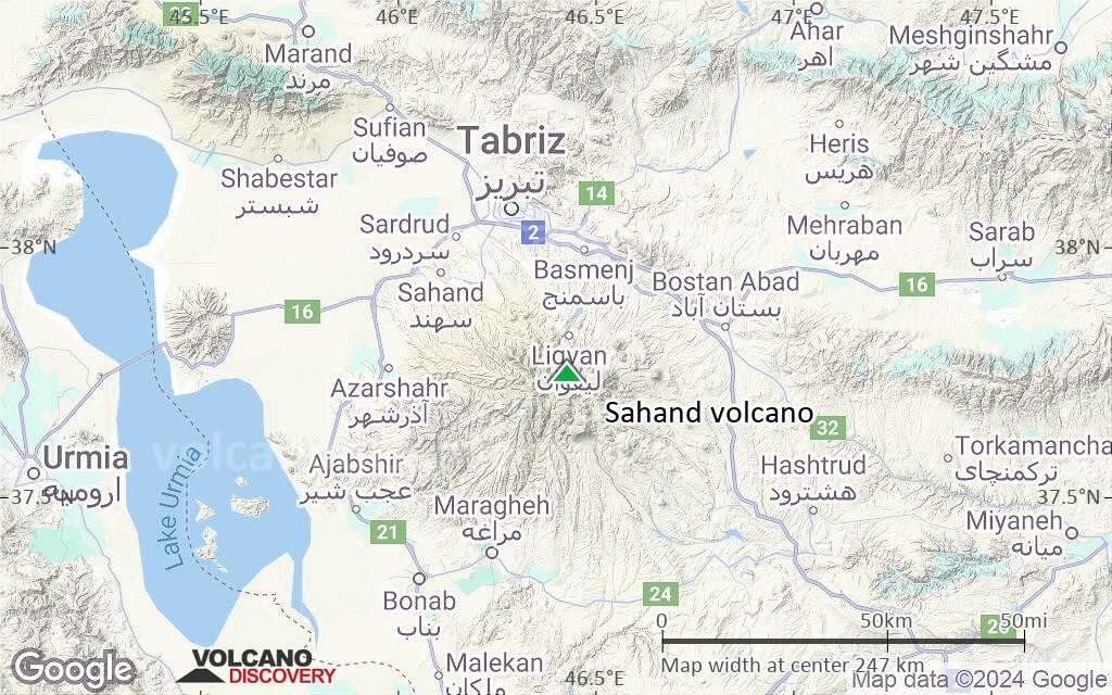
Terrain-type map of Sahand volcano (scale of 20-40 km)

Satellite/aerial-type map of Sahand volcano (scale of approx. 10-20 km)

Terrain-type map of Sahand volcano (scale of approx. 10-20 km)
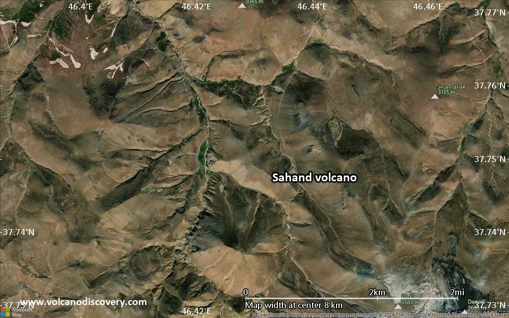
Satellite/aerial-type map of Sahand volcano (scale of 5-10 km)
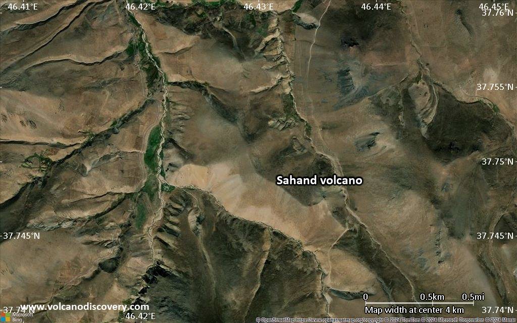
Satellite/aerial-type map of Sahand volcano (scale of few kilometers)