Santa Clara Volcano
Updated: May 1, 2025 13:07 GMT -
volcanic field
Utah (Canada and USA (mainland)), 37.26°N / -113.63°W 
Summit height: 1465 m / 4,806 ft
Current status: normal or dormant (1 out of 5)
The Santa Clara volcanic field is volcanic area north of St. George in SW Utah, which has been active since abaout 4 million years ago. It contains numerous cinder cones and lava flows.
The Santa Clara lava flow was erupted from 2 young cider cones above Snow Canyon about 10-20,000 years ago and is one of the youngest lava flows in the Colorado Plateau/Basin and Range region. The almost unvegetated lava flow extends 16 km to the south down Snow Canyon, excavated through rocks of the colorful Navajo Sandstone.
[smaller] [larger]
Santa Clara volcano eruptions: 10,000-20,000 years ago
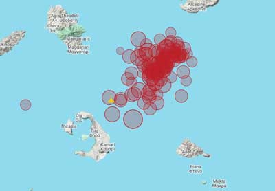
Latest nearby earthquakes
| Date and Time | Mag / Depth | Distance / Location | |||
|---|---|---|---|---|---|
Santa Clara Volcano Photos
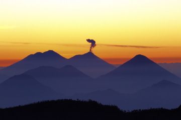
16Guat012012YC.jpg (Photo: Yashmin Chebli)
Latest satellite images

Santa Clara Volcano Maps
Below is a selection of maps showing the location and surroundings of the volcano at various resolutions based on aerial-imagery / terrain maps. Feel free to use them for non-commercial purposes on your blog or website as long as you credit them with a link back to this page (click to copy it).
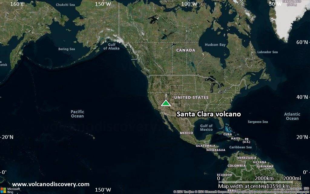
Satellite/aerial-type map of Santa Clara volcano (world scale)
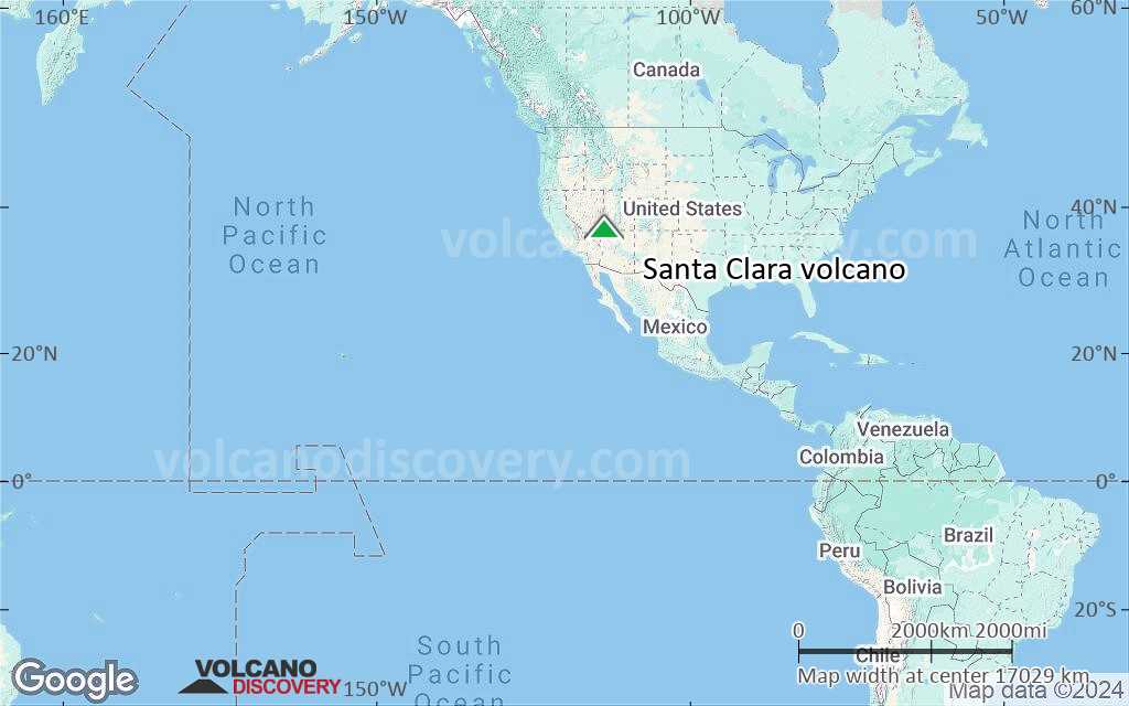
Terrain-type map of Santa Clara volcano (world scale)
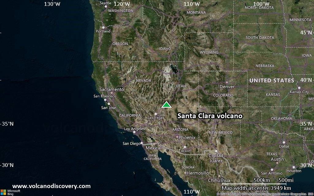
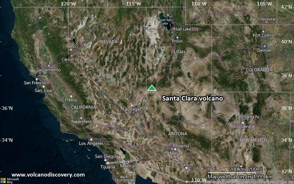
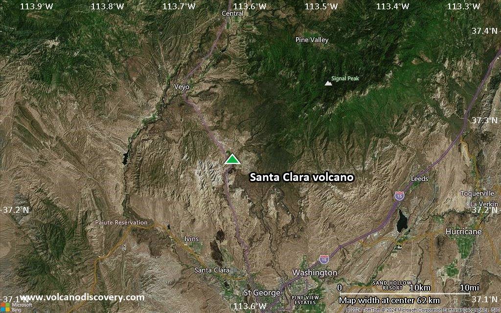
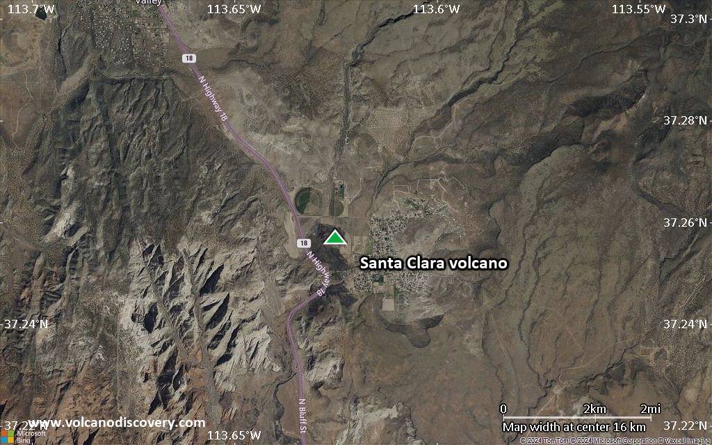
Satellite/aerial-type map of Santa Clara volcano (region scale large)
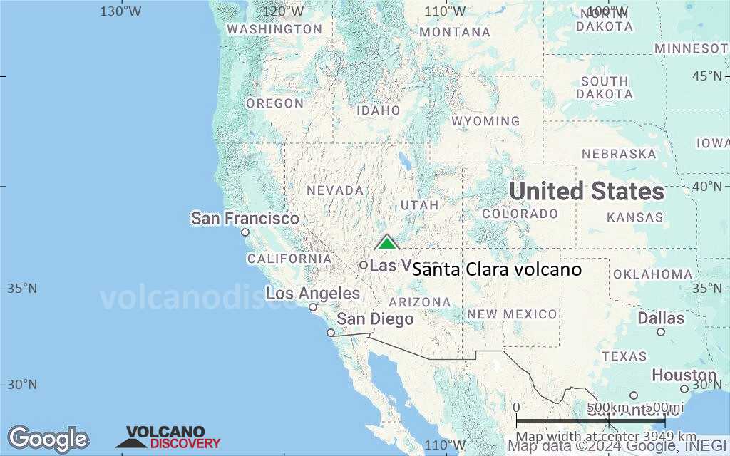
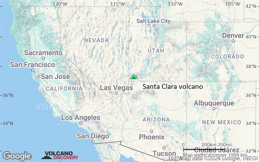
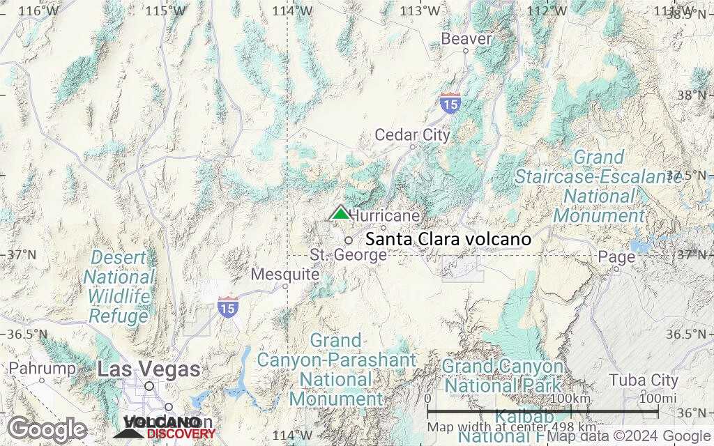
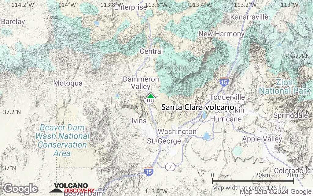
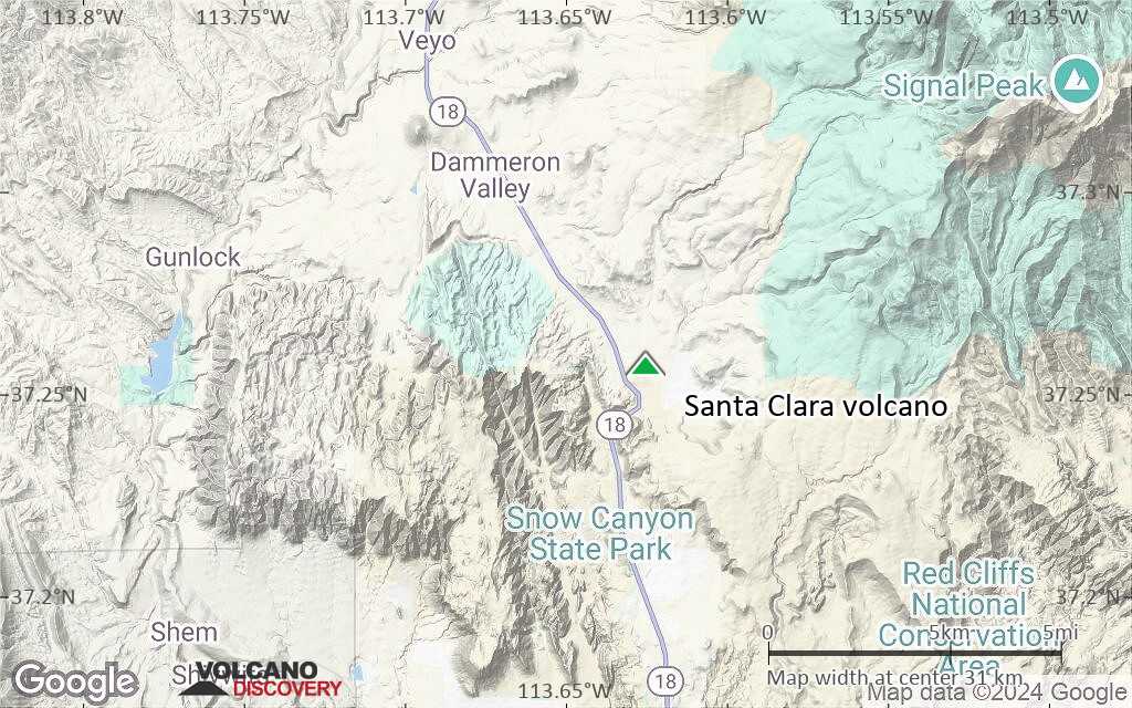
Terrain-type map of Santa Clara volcano (region scale large)
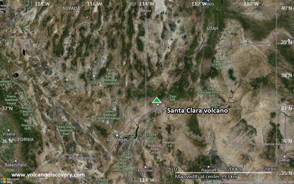
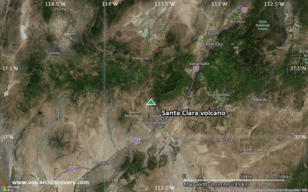
Satellite/aerial-type map of Santa Clara volcano (region scale medium)
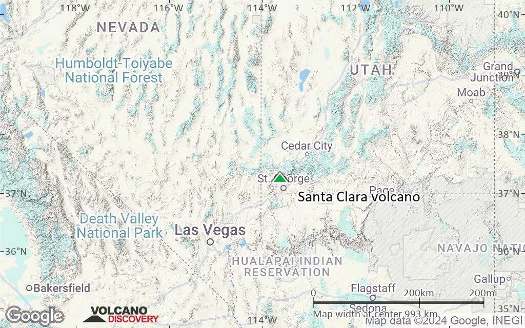
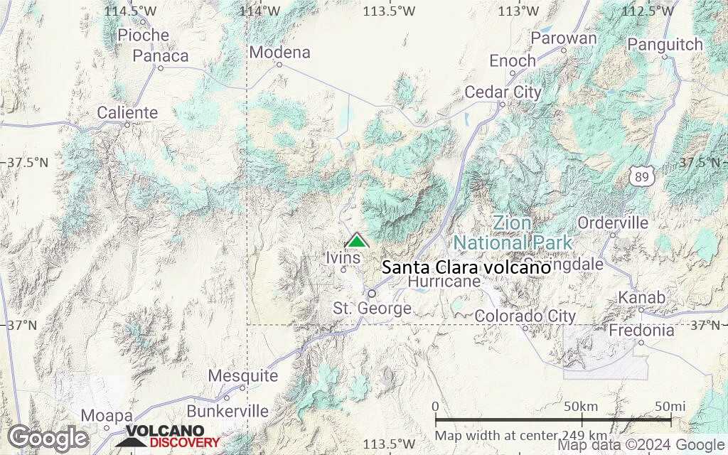
Terrain-type map of Santa Clara volcano (region scale medium)
Satellite/aerial-type map of Santa Clara volcano (region scale small)
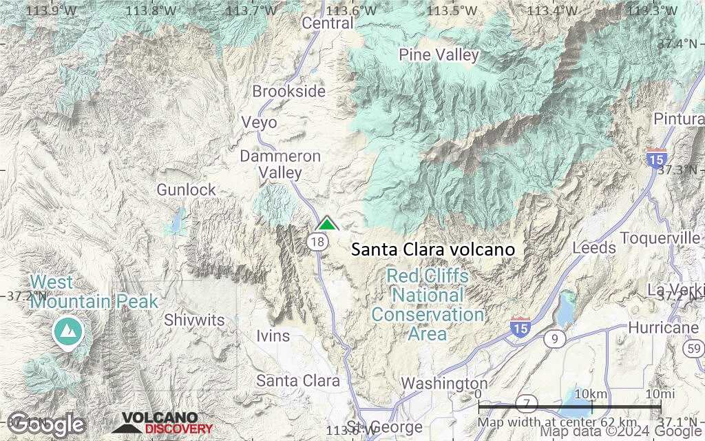
Terrain-type map of Santa Clara volcano (region scale small)

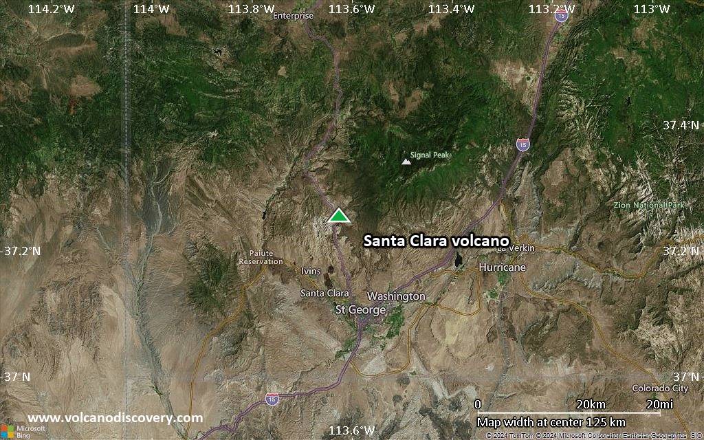
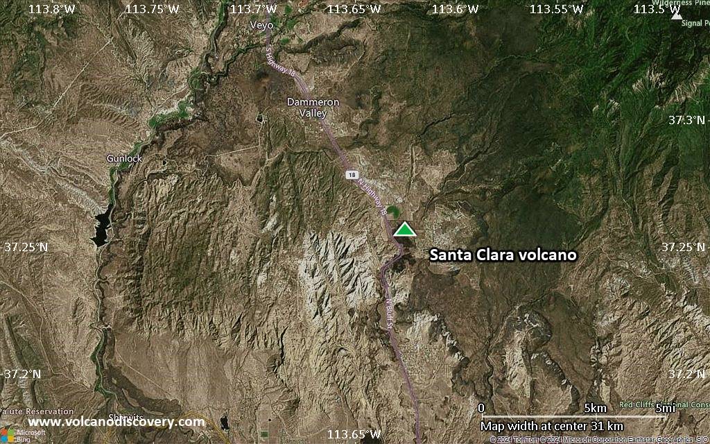
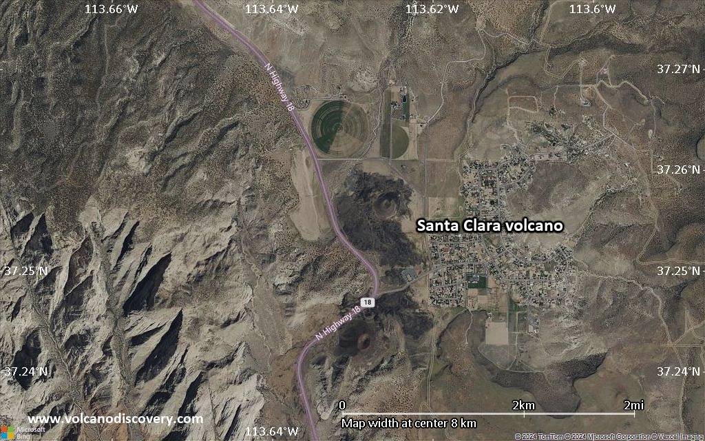
Satellite/aerial-type map of Santa Clara volcano (local scale large)
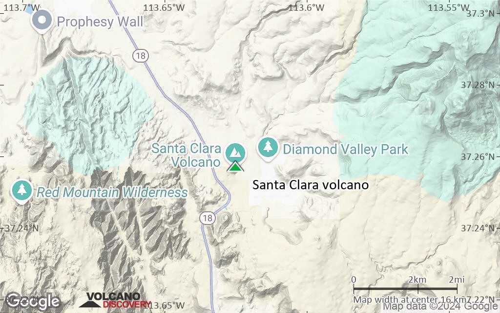
Terrain-type map of Santa Clara volcano (local scale large)
Satellite/aerial-type map of Santa Clara volcano (local scale medium)
Terrain-type map of Santa Clara volcano (local scale medium)
Satellite/aerial-type map of Santa Clara volcano (local scale small)
Terrain-type map of Santa Clara volcano (local scale small)
Satellite/aerial-type map of Santa Clara volcano (scale of 10s of km)
Terrain-type map of Santa Clara volcano (scale of 10s of km)
Satellite/aerial-type map of Santa Clara volcano (scale of 20-40 km)
Terrain-type map of Santa Clara volcano (scale of 20-40 km)
Satellite/aerial-type map of Santa Clara volcano (scale of approx. 10-20 km)
Terrain-type map of Santa Clara volcano (scale of approx. 10-20 km)
Satellite/aerial-type map of Santa Clara volcano (scale of 5-10 km)
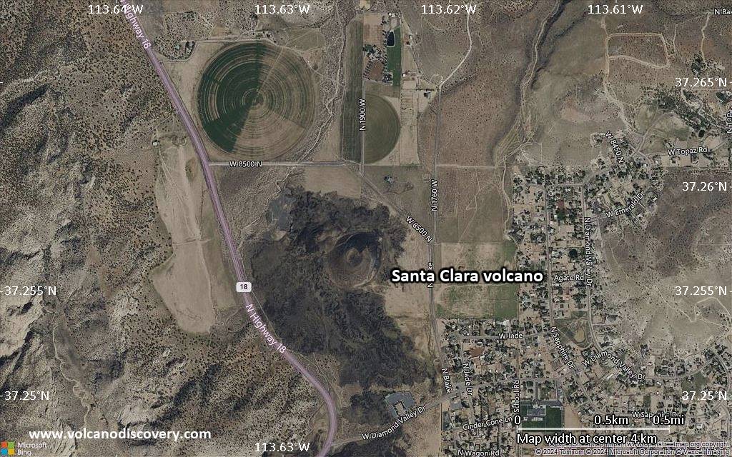
Satellite/aerial-type map of Santa Clara volcano (scale of few kilometers)