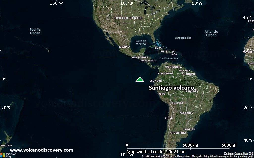
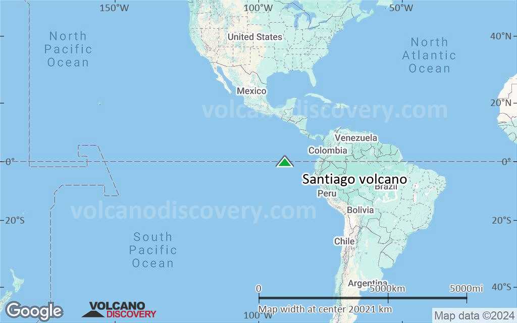
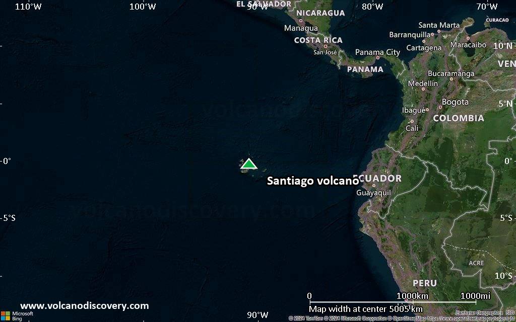
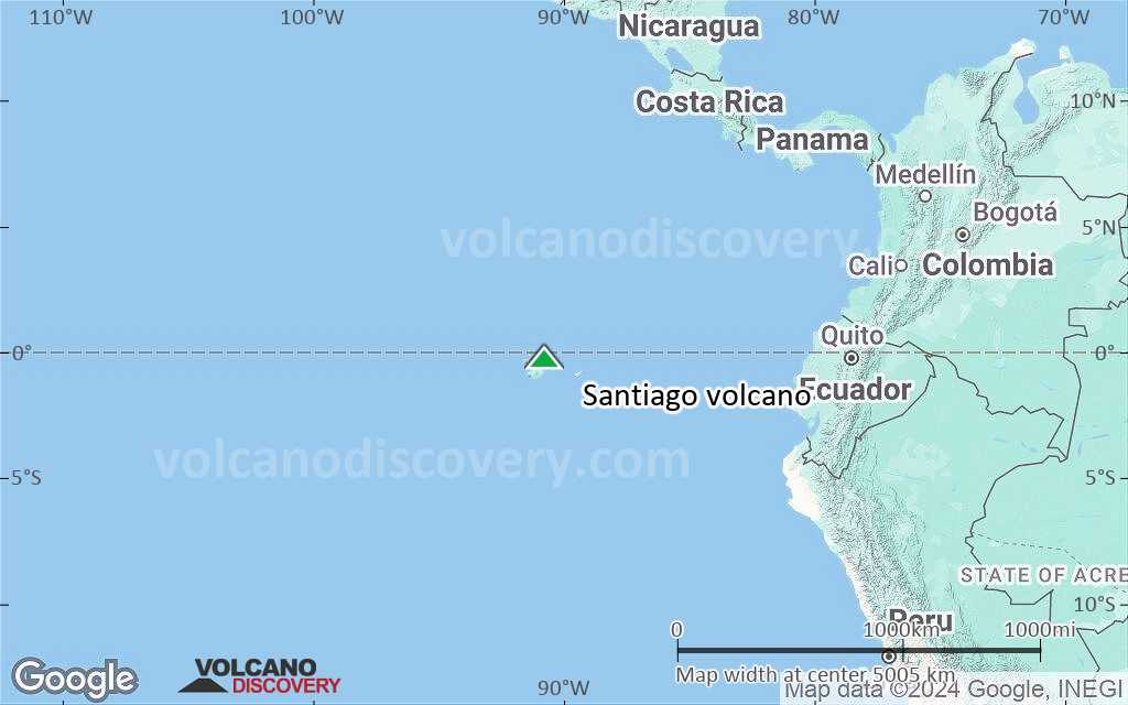
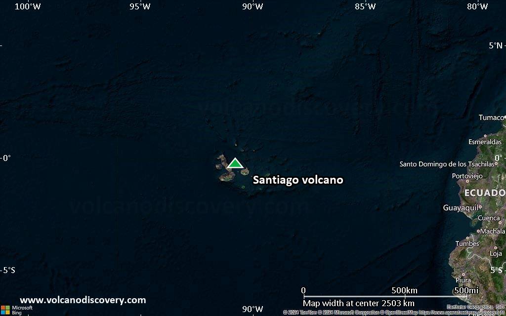
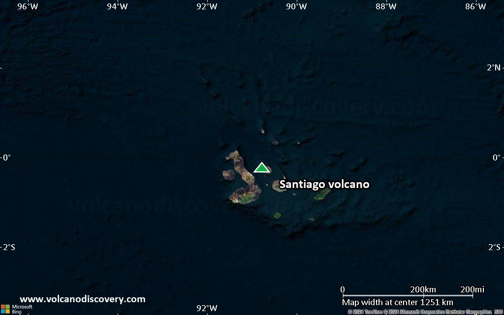
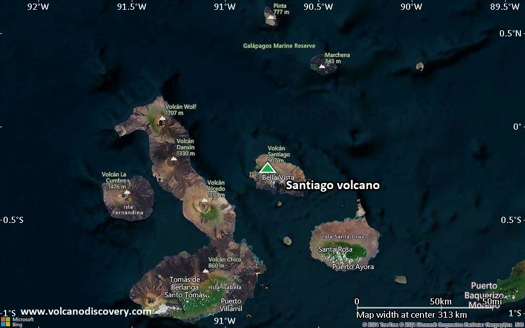
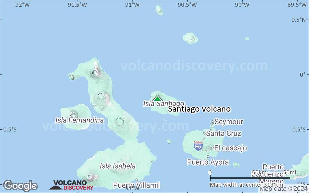
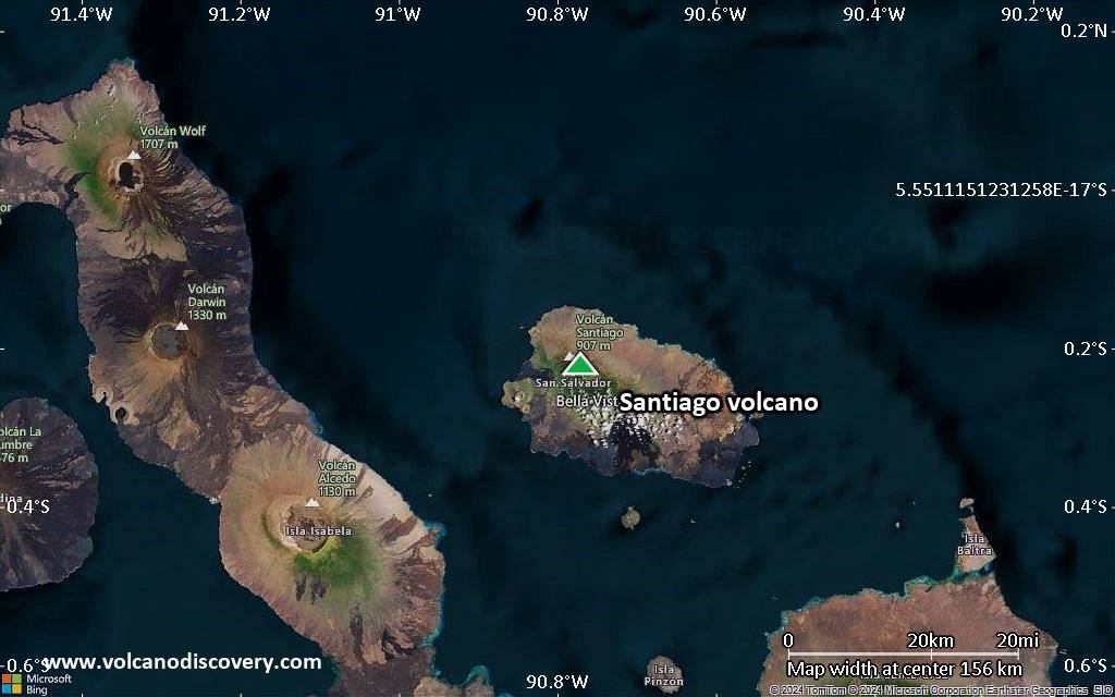
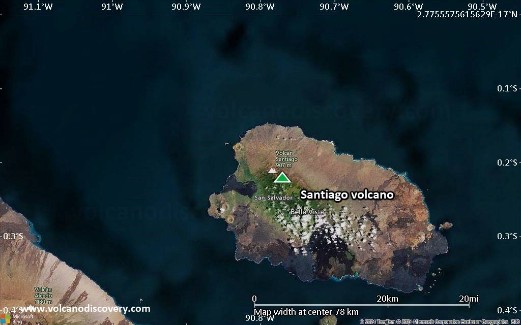
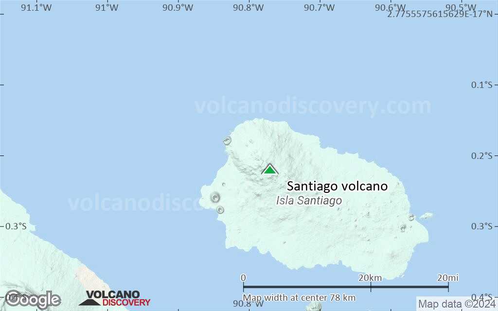
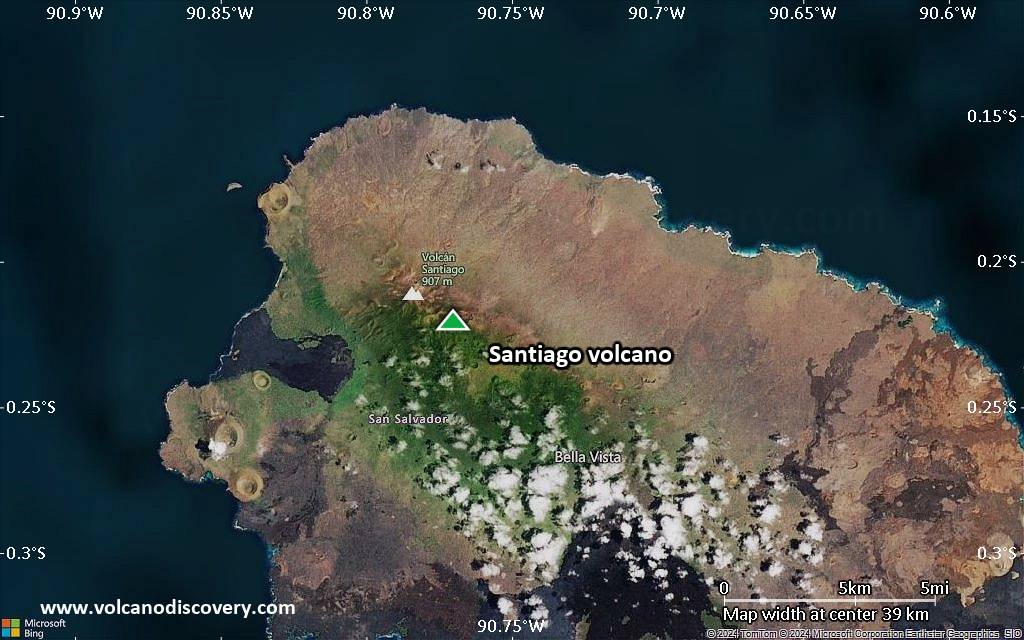
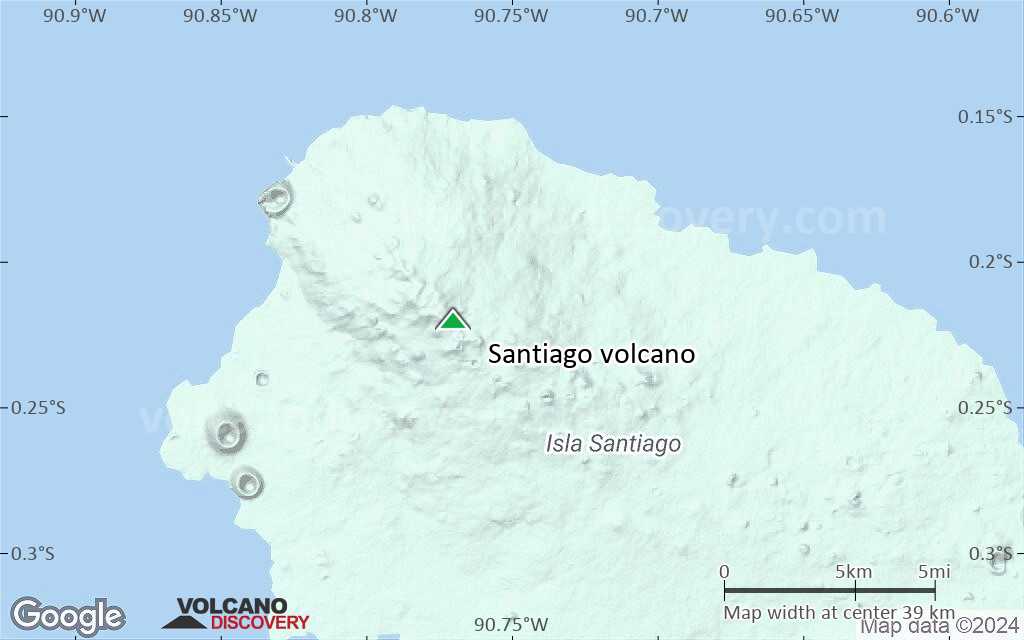
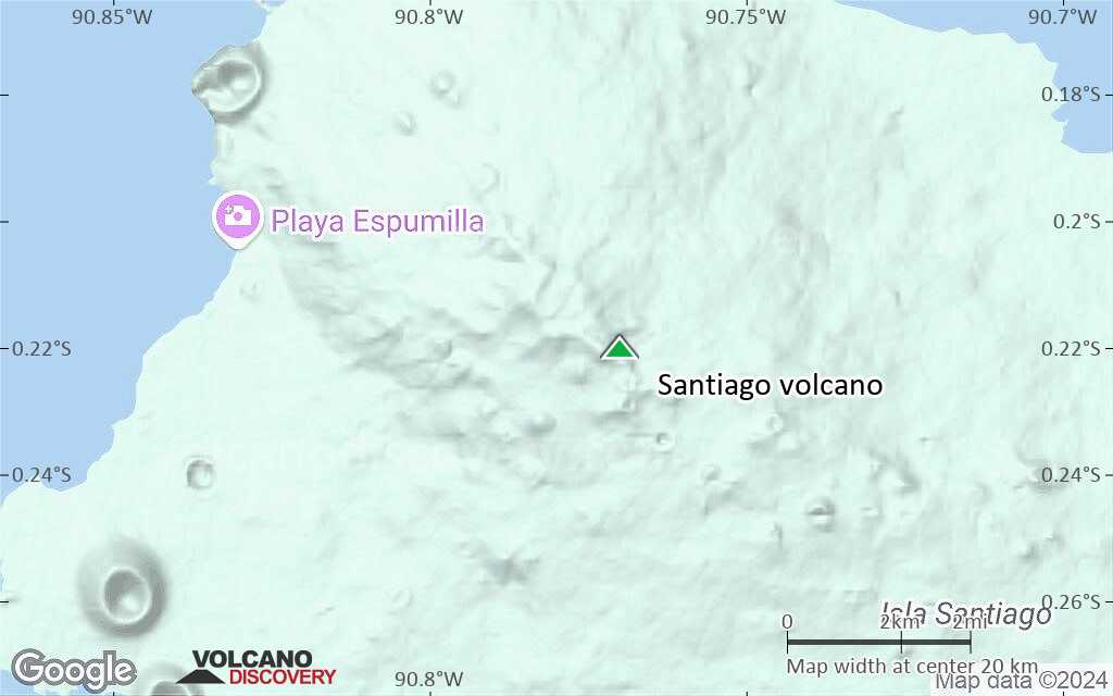
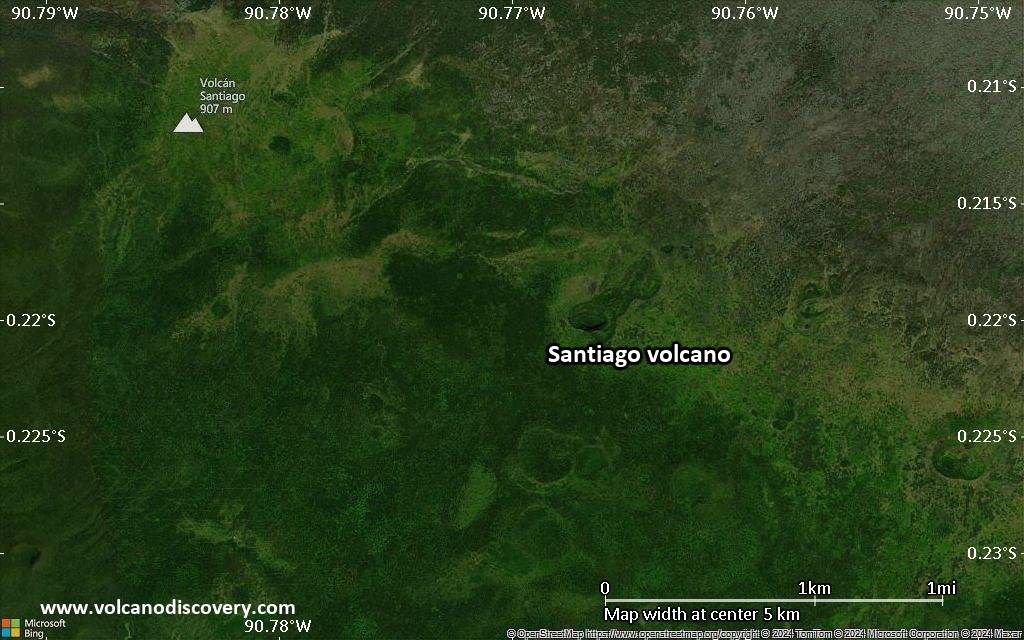
| RSS | EN | DE | EL | ES | FR | IT | RU

Santiago Volcano

Updated: Oct 20, 2025 10:05 GMT -
Shield volcano
Galápagos Islands, Ecuador, -0.22°S / -90.77°W
Summit height: 920 m / 3,018 ft
Current status: normal or dormant (1 out of 5)
Last update: 10 Mar 2022

[smaller] [larger]
Typical eruption style: unspecified
Santiago volcano eruptions: 1906 

Latest nearby earthquakes

Date and TimeMag / DepthDistance / Location

Background

The elongated shield volcano of Santiago Island, also known as San Salvador Island or James Island, is dotted with Holocene pyroclastic cones. Fresh-looking lava flows from these cones blanket the flanks of the volcano. The 920-m-high summit ridge, lined with a chain of NW-trending cinder and spatter cones, is located at the NW end of the island. Prominent flank tuff cones occur at the western and eastern coasts of Santiago. The most recent activity at Santiago has been concentrated at the NW and SE ends of the island. The spectacular pahoehoe lava flows at James and Sullivan Bays, on opposite ends of the island, were erupted during historical time. The James Bay flows were dated by fragments of marmalade pots left by buccaneers in 1684 that were subsequently embedded in the lava flows described by Charles Darwin in 1835.
---
Smithsonian / GVP volcano information

Santiago Volcano Photos

Significant volcanic eruptions: Santiago volcano

In the past 10,000 years, Santiago has had at least 3 confirmed volcanic eruptions, out of which 2 are documented by historical records, while the others can be inferred from geological evidence.
The table below lists all known eruptions (date in bold face) of Santiago volcano in historic times and during the past 10,000 years. Updates on the most recent volcanic activity of Santiago can be found on the news page of Santiago volcano.
DateNoteVEIDeathsDamage
1904 - 1906 Dec 15 ±45 d.SE flank
Historical obs./docs.
?
1897SE flank (Sullivan Bay?)
Historical obs./docs.
?
1759 ±75 y.West flank (James Bay)?
Remark:
Our list of volcanic eruptions closely follows the database of eruptions of the Smithsonian's Global Volcanism Project (GVP), the internationally most recognized data source for volcanic eruptions, but also includes significant eruptive episodes or related volcano events. "Volcanic eruptions" are usually to be understood as sequences of individual eruptive episodes that can follow each other, or even overlap (if several vents are involved), and can last many years, decades or even longer. For example, the current activity of Stromboli volcano is understood as a single eruption that has been ongoing since 1934.
Sources: NOAA National Centers for Environmental Information (NCEI), Global Significant Volcanic Eruptions Database. doi:10.7289/V5TD9V7K | Global Volcanism Project / Smithsonian Institution

Santiago Volcano FAQ

+When was the last eruption of Santiago volcano?

+How often does Santiago volcano erupt?

+How active is Santiago volcano at present?

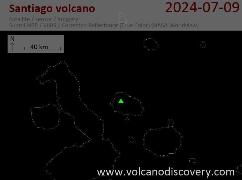
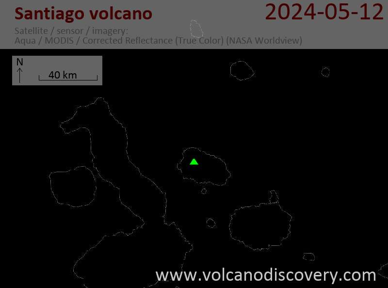
Latest satellite images

santiago satellite image sat1santiago satellite image sat2

Santiago Volcano Maps

Below is a selection of maps showing the location and surroundings of the volcano at various resolutions based on aerial-imagery / terrain maps. Feel free to use them for non-commercial purposes on your blog or website as long as you credit them with a link back to this page (click to copy it).
Satellite/aerial-type map of Santiago volcano (world scale)
Terrain-type map of Santiago volcano (world scale)
Satellite/aerial-type map of Santiago volcano (region scale large)
Terrain-type map of Santiago volcano (region scale large)
Satellite/aerial-type map of Santiago volcano (region scale medium)
Terrain-type map of Santiago volcano (region scale medium)
Satellite/aerial-type map of Santiago volcano (region scale small)
Terrain-type map of Santiago volcano (region scale small)
Satellite/aerial-type map of Santiago volcano (local scale large)
Terrain-type map of Santiago volcano (local scale large)
Satellite/aerial-type map of Santiago volcano (local scale medium)
Terrain-type map of Santiago volcano (local scale medium)
Satellite/aerial-type map of Santiago volcano (local scale small)
Terrain-type map of Santiago volcano (local scale small)
Satellite/aerial-type map of Santiago volcano (scale of 10s of km)
Terrain-type map of Santiago volcano (scale of 10s of km)
Satellite/aerial-type map of Santiago volcano (scale of 20-40 km)
Terrain-type map of Santiago volcano (scale of 20-40 km)
Satellite/aerial-type map of Santiago volcano (scale of approx. 10-20 km)
Terrain-type map of Santiago volcano (scale of approx. 10-20 km)
Satellite/aerial-type map of Santiago volcano (scale of 5-10 km)
Satellite/aerial-type map of Santiago volcano (scale of few kilometers)
Volcanoes & Earthquakes - new app for Android
Guaranteed tours
3-19 Nov 2025: Volcanoes and Spices - Sulawesi/Halmahera (Indonesia)
3-19 Nov 2025: From Krakatau to Bali - Java (Indonesia)
20 Nov - 3 Dec 2025: Desert, salt and volcanoes - Danakil desert (Ethiopia)
2-10 May 2026: From Stromboli to Etna - Sicily and Eolian Islands (Italy)
= spaces available   = guaranteed   = few spaces left   = booked out

On this page:

Try our free app!
Volcanoes & Earthquakes - new app for Android
Android | iOS version

More on VolcanoDiscovery

Why is there advertising on this site?

Support Us – Help Us Enhance Our Services!

We’re passionate about delivering the latest volcano and earthquake data from around the globe — just for you. However, maintaining our website and free apps requires significant time, effort, and resources.
Your support helps us expand our hardware and software capabilities and empowers our dedicated editorial team. Our mission is to provide uninterrupted, real-time updates whenever an earthquake strikes or a volcano erupts — and your donations make this possible. Every contribution, big or small, is deeply appreciated. If you find our information valuable and want to help us add new features, create compelling content, and improve our technology, please consider making a donation:

Donate with Card or Apple/Google Pay:

Send €5 payment link to support VolcanoDiscovery with 5 EUR
€10 payment link to support VolcanoDiscovery with 10 EUR
€25 payment link to support VolcanoDiscovery with 25 EUR
€50 payment link to support VolcanoDiscovery with 50 EUR
€100 payment link to support VolcanoDiscovery with 100 EUR
€250 payment link to support VolcanoDiscovery with 250 EUR

Donate with PayPal:

Planned Features:

Thanks to your past donations, we have recently added:
Download the Volcanoes & Earthquakes app to stay among the first to receive the fastest seismic and volcano alerts online:
Android | iOS
Thank you for being part of our mission!
Sources: VolcanoDiscovery / VolcanoAdventures and other sources as noted.
Use of material: Most text and images on our websites are owned by us. Re-use is generally not permitted without authorization. Contact us for licensing rights.
Volcanoes & Earthquakes
VolcanoDiscovery Home
Volcanoes | Earthquakes | Photos | Volcano News | | Shop | App
Adventure & Study Travel
Tours to Volcanoes and Volcanic Areas: walking tours, photo tours, study tours
Tours & Dates | FAQ | About us
Get our newsletter!
Company info
Contact | Legal info | Terms & conditions
Follow us
Follow us on facebook Follow us on Instagram Follow us on Bluesky Follow us on Twitter Visit our Youtube channel
EN | DE | EL | ES | FR | IT | RU
VolcanoDiscovery GmbH, Germany, Reg. nr.: HRB 103744, EU Tax Id: DE 297 465 123 owned and created by
Dr. Tom Pfeiffer, volcanologist, volcano photographer, tour organizer member of
IAVCEI
IAVCEI
Vulkanologische Gesellschaft
Volcanological Society
Ecotourism Greece
Ecotourism Greece
RUV insurance
Insured by R+V
VolcanoDiscovery © 2004- All Rights Reserved | Privacy - Cookie Settings