


Harra es-Sawâd Volcano
Updated: Aug 5, 2025 19:19 GMT -
volcanic field
Arabian Peninsula (World), 13.58°N / 46.12°E 
Summit height: 1737 m / 5,699 ft
Current status: normal or dormant (1 out of 5)
Harra es-Sawâd volcano (also spelled Shuqra) is a volcanic field in southern Yemen. It contains about 100 cones that have produced young lava flows.
There are reports about an eruption in 1253 AD, but it's possible that there were more recent eruptions that went unnoticed.
[smaller] [larger]
Harra es-Sawâd volcano eruptions: 1253
Latest nearby earthquakes
| Date and Time | Mag / Depth | Distance / Location | |||
|---|---|---|---|---|---|
Background
The Harra es-Sawâd volcanic field contains about a 100 cones that have produced large 45x90 km lava field that overlies faultet basement limestones. It stretches WSW-ENE along the Gulf of Aden east of Shuqra (Shaqra) city. It has produced a large young field of lava flows, which show little signs of erosion.Significant volcanic eruptions: Harra es-Sawâd volcano
In the past 10,000 years, Harra es-Sawâd has had only one confirmed historic eruption in 1253 AD.
The table below lists all known eruptions (date in bold face) of Harra es-Sawâd volcano in historic times and during the past 10,000 years. Updates on the most recent volcanic activity of Harra es-Sawâd can be found on the news page of Harra es-Sawâd volcano.
| Date | Note | VEI | Deaths | Damage | |
|---|---|---|---|---|---|
Historical obs./docs. | 3 | ||||
Remark:
Our list of volcanic eruptions closely follows the database of eruptions of the Smithsonian's Global Volcanism Project (GVP), the internationally most recognized data source for volcanic eruptions, but also includes significant eruptive episodes or related volcano events. "Volcanic eruptions" are usually to be understood as sequences of individual eruptive episodes that can follow each other, or even overlap (if several vents are involved), and can last many years, decades or even longer. For example, the current activity of Stromboli volcano is understood as a single eruption that has been ongoing since 1934.
Sources: NOAA National Centers for Environmental Information (NCEI), Global Significant Volcanic Eruptions Database. doi:10.7289/V5TD9V7K | Global Volcanism Project / Smithsonian Institution
Harra es-Sawâd Volcano FAQ
+When was the last eruption of Harra es-Sawâd volcano?
The last confirmed eruption of Harra es-Sawâd occurred in 1253 AD.
+How often does Harra es-Sawâd volcano erupt?
Since 1253 AD, Harra es-Sawâd volcano has had at least 1 historically documented eruptions. This means that it erupts on average every 772 years.
+When was the largest eruption of Harra es-Sawâd volcano?
The largest eruption of Harra es-Sawâd volcano in historic times occurred in 1253 AD. It ranks as a "vulcanian" eruption with a magnitude 3 on the VEI (Volcanic Explosivity Index) scale.
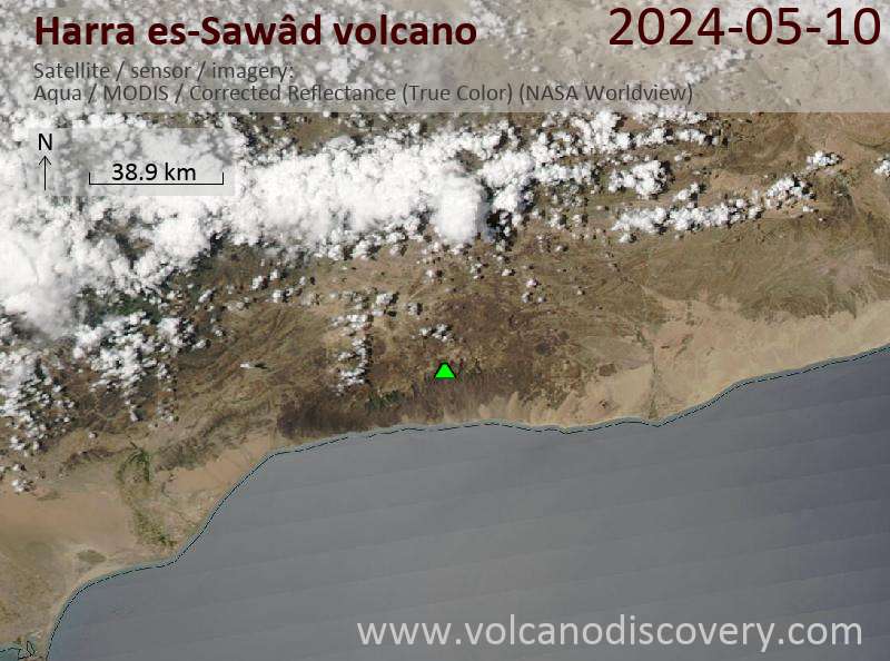
Latest satellite images
Harra es-Sawâd Volcano Maps
Below is a selection of maps showing the location and surroundings of the volcano at various resolutions based on aerial-imagery / terrain maps. Feel free to use them for non-commercial purposes on your blog or website as long as you credit them with a link back to this page (click to copy it).
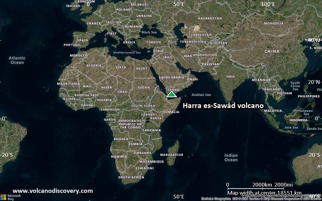
Satellite/aerial-type map of Harra es-Sawâd volcano (world scale)
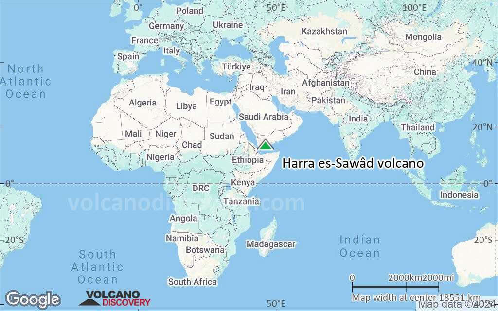
Terrain-type map of Harra es-Sawâd volcano (world scale)
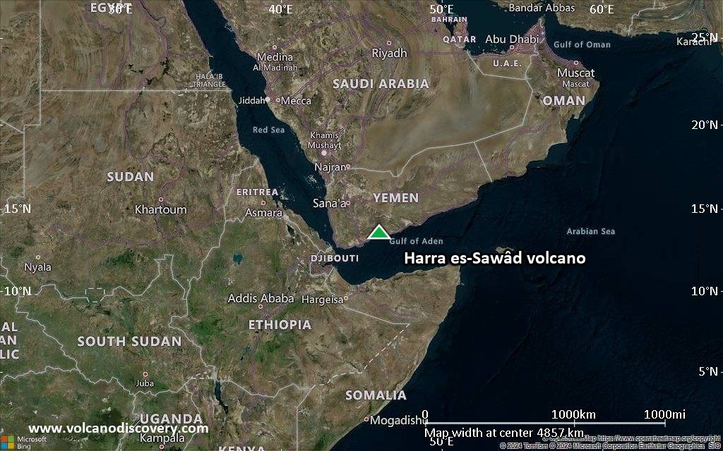
Satellite/aerial-type map of Harra es-Sawâd volcano (region scale large)
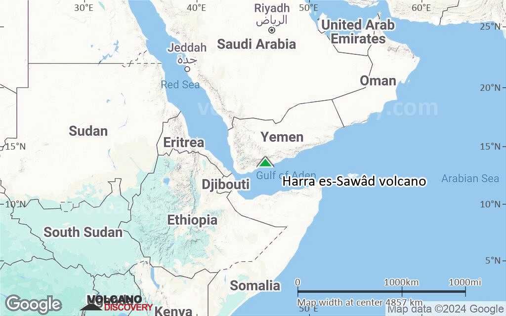
Terrain-type map of Harra es-Sawâd volcano (region scale large)

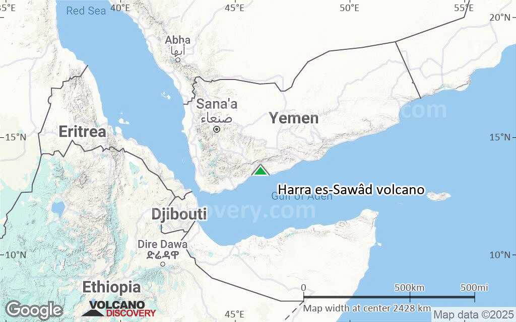
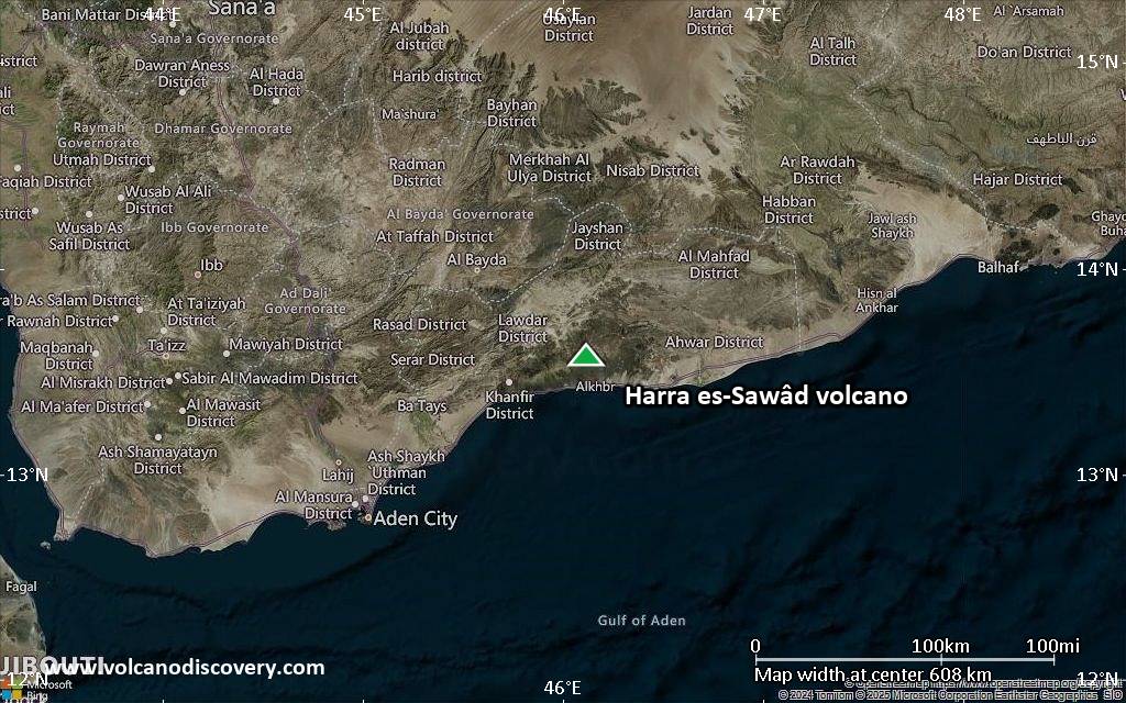
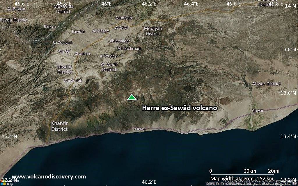
Satellite/aerial-type map of Harra es-Sawâd volcano (region scale medium)
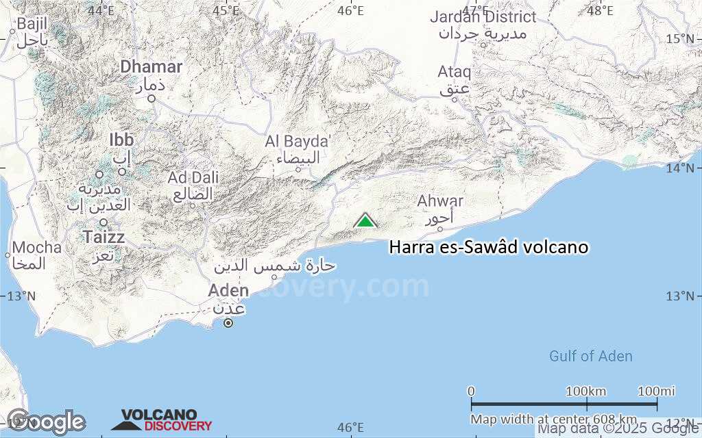
Terrain-type map of Harra es-Sawâd volcano (region scale medium)

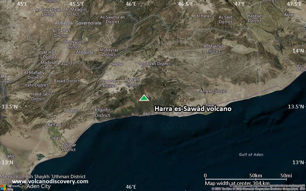
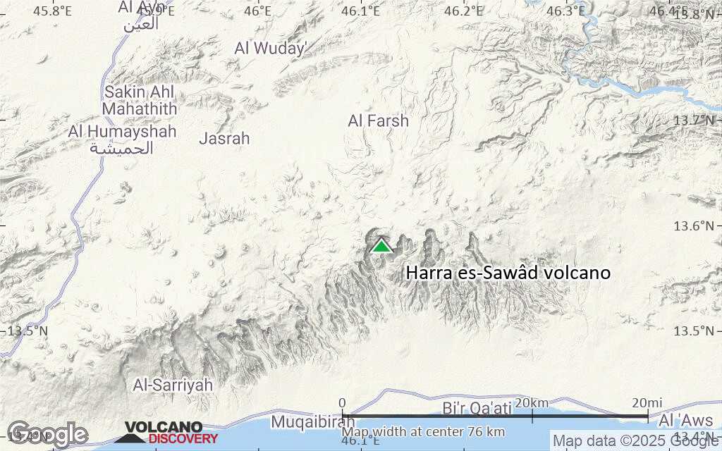
Satellite/aerial-type map of Harra es-Sawâd volcano (region scale small)
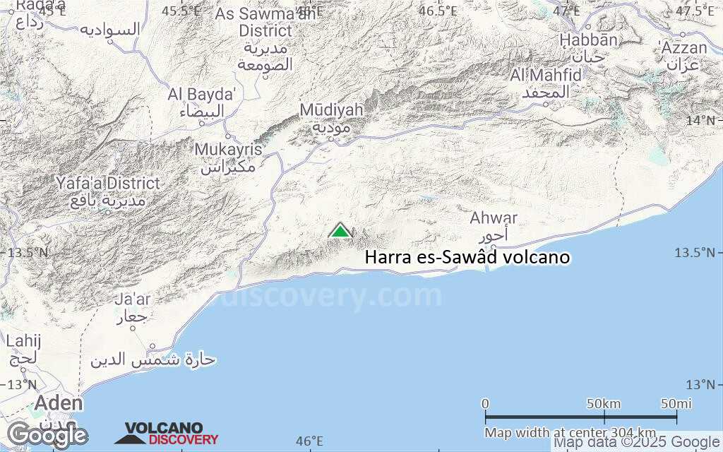
Terrain-type map of Harra es-Sawâd volcano (region scale small)
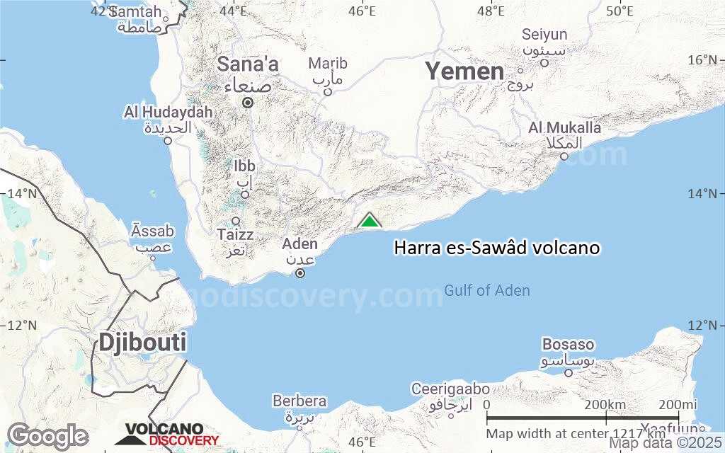
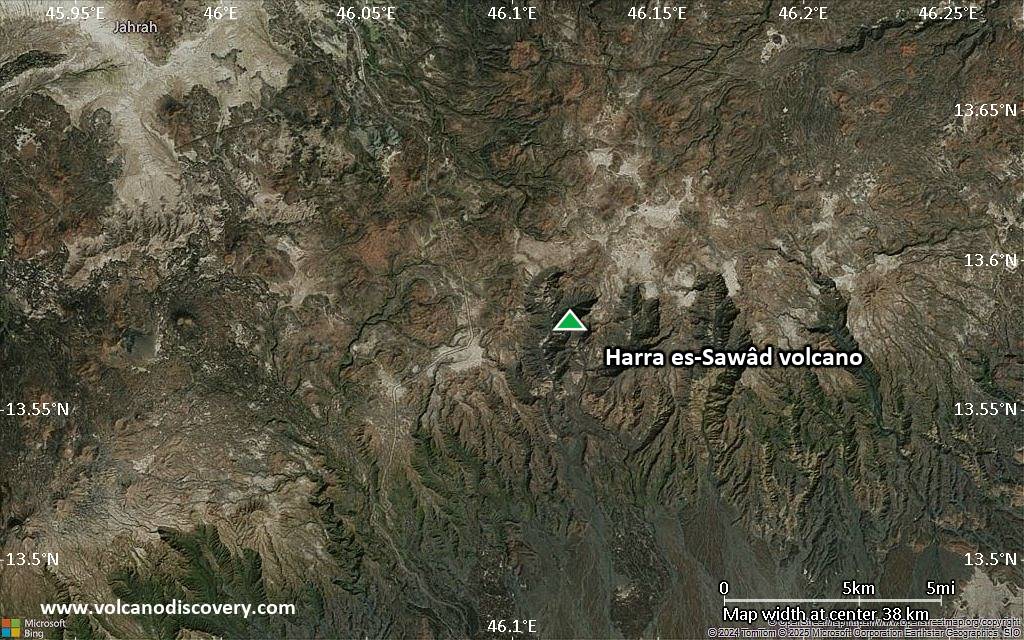
Satellite/aerial-type map of Harra es-Sawâd volcano (local scale large)
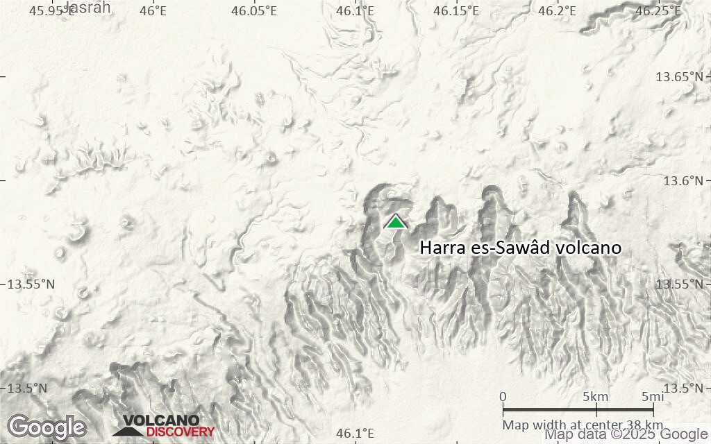
Terrain-type map of Harra es-Sawâd volcano (local scale large)
Satellite/aerial-type map of Harra es-Sawâd volcano (local scale medium)
Terrain-type map of Harra es-Sawâd volcano (local scale medium)
Satellite/aerial-type map of Harra es-Sawâd volcano (local scale small)

Terrain-type map of Harra es-Sawâd volcano (local scale small)

Satellite/aerial-type map of Harra es-Sawâd volcano (scale of 10s of km)
Terrain-type map of Harra es-Sawâd volcano (scale of 10s of km)
Satellite/aerial-type map of Harra es-Sawâd volcano (scale of 20-40 km)
Terrain-type map of Harra es-Sawâd volcano (scale of 20-40 km)

Satellite/aerial-type map of Harra es-Sawâd volcano (scale of approx. 10-20 km)

Terrain-type map of Harra es-Sawâd volcano (scale of approx. 10-20 km)
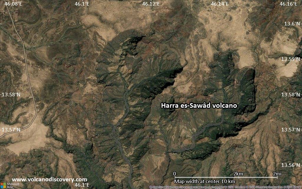
Satellite/aerial-type map of Harra es-Sawâd volcano (scale of 5-10 km)
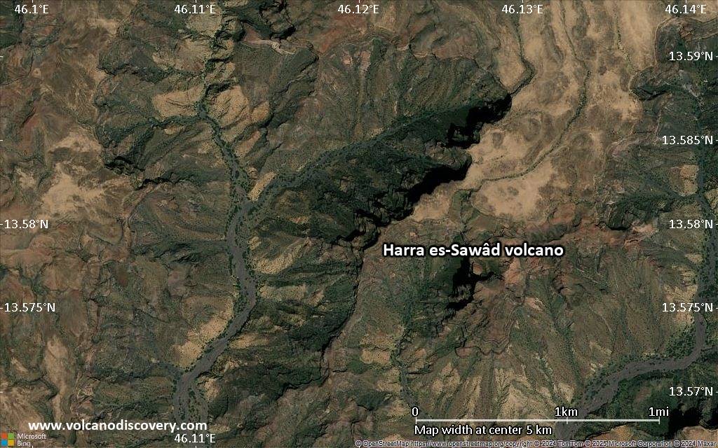
Satellite/aerial-type map of Harra es-Sawâd volcano (scale of few kilometers)


