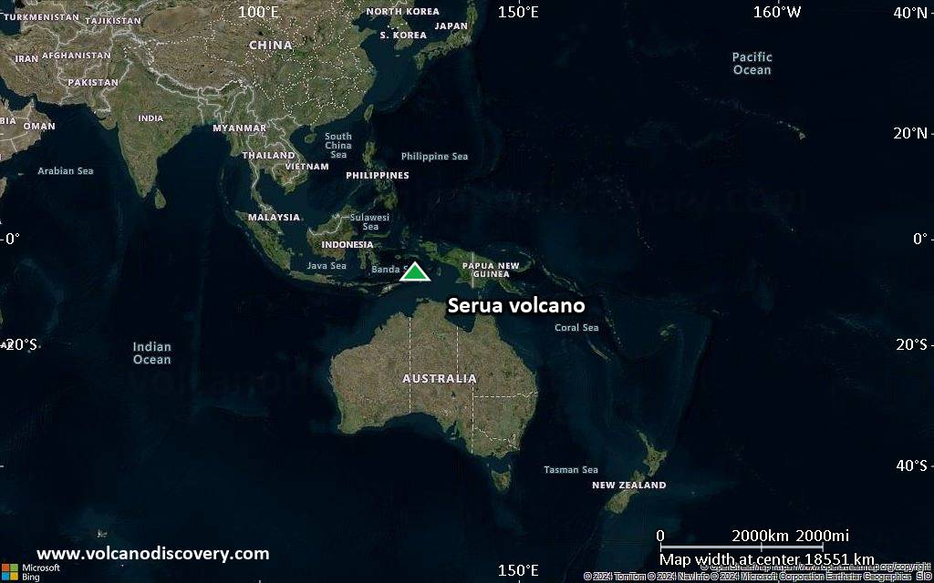
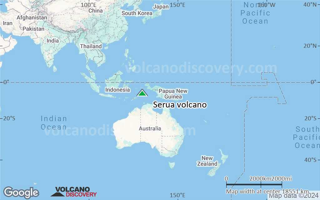
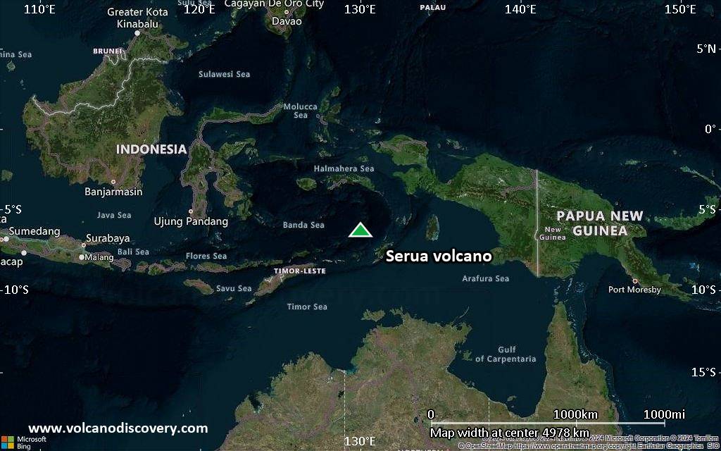
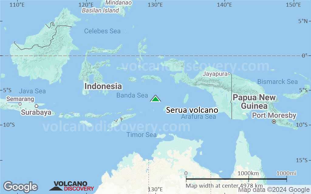
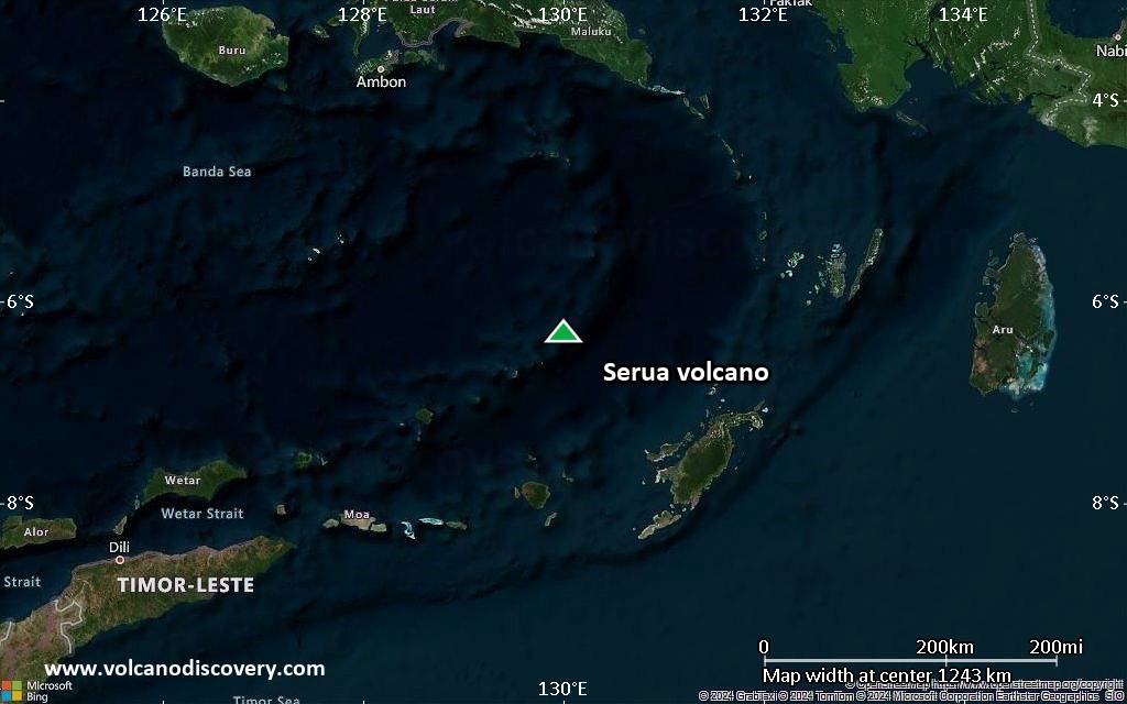
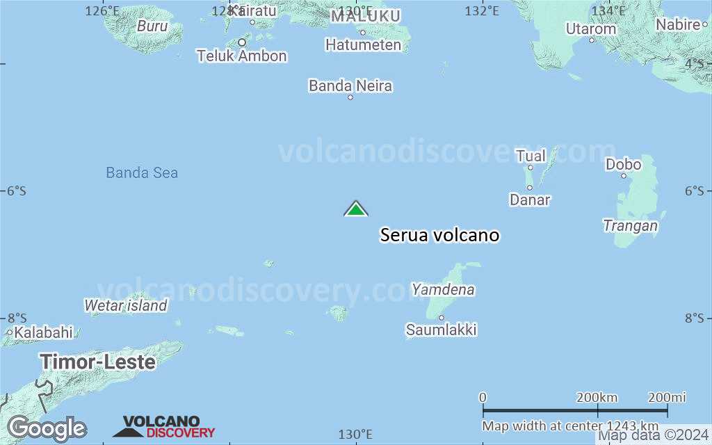
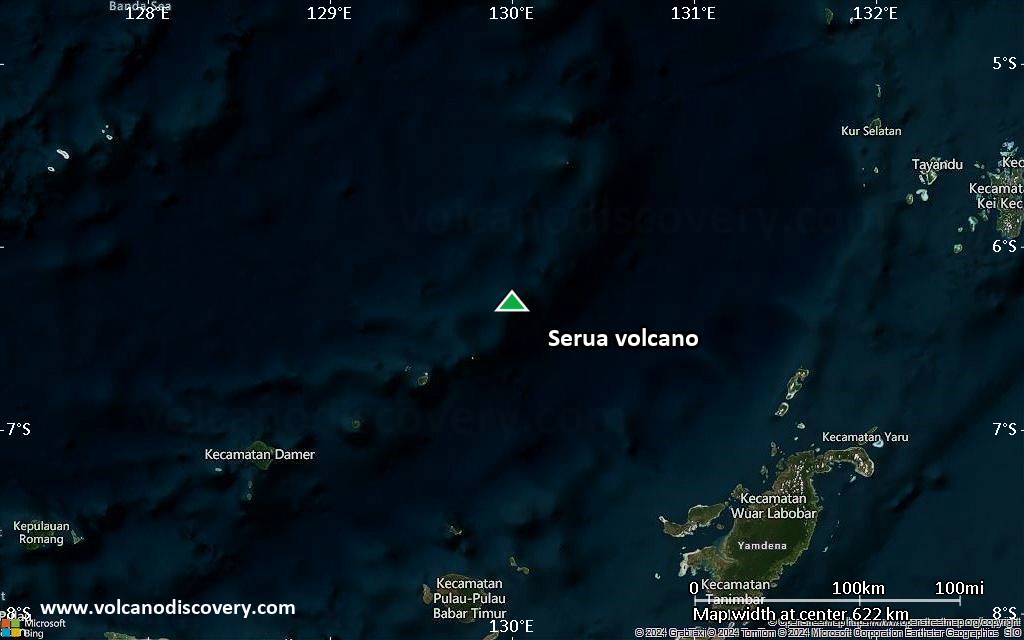
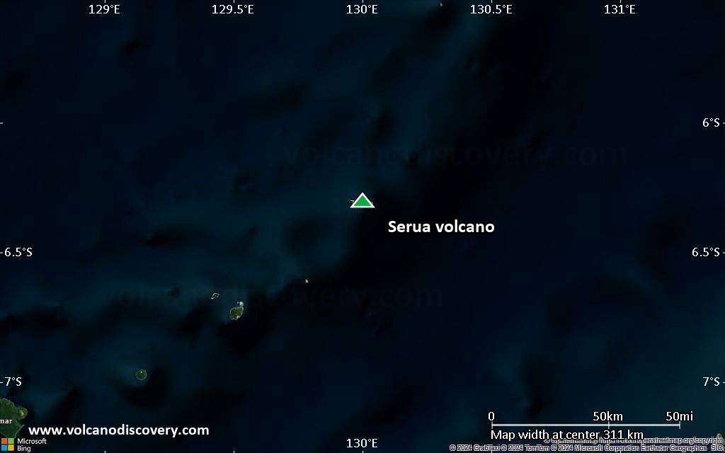
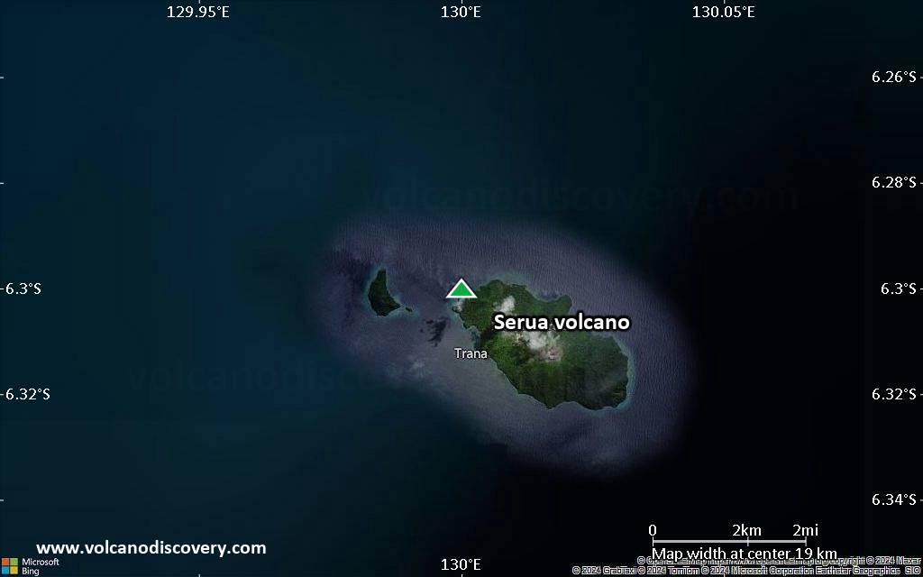
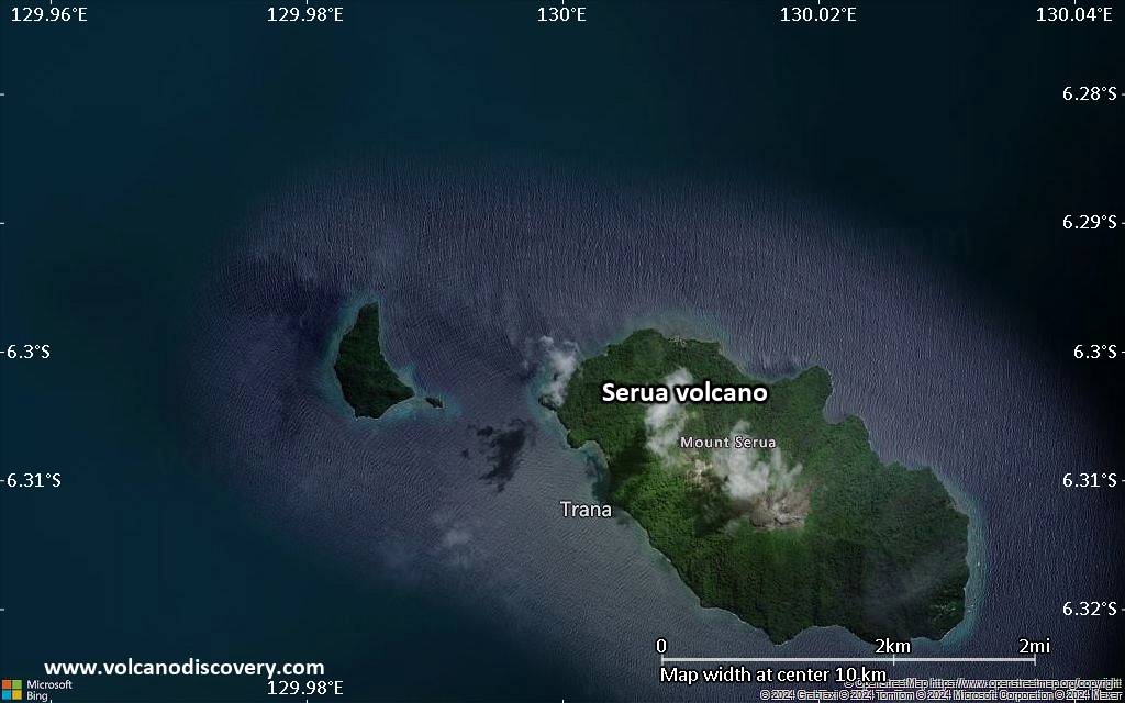
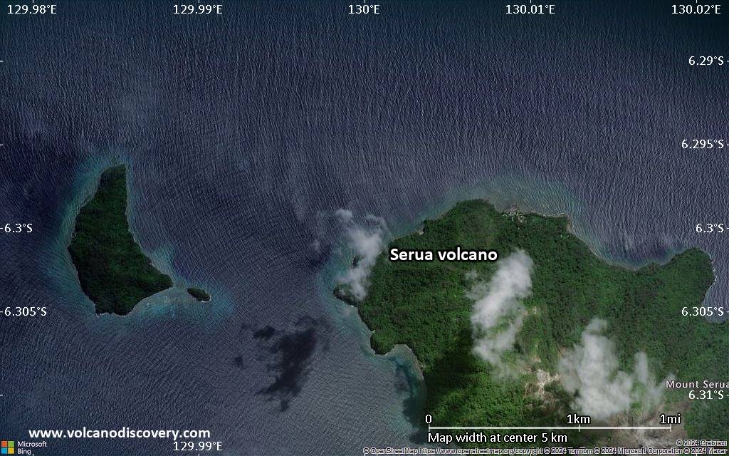
| RSS | EN | DE | EL | ES | FR | IT | RU

Serua Volcano

Updated: May 21, 2025 13:43 GMT -
stratovolcano
Banda Sea (Indonesia), -6.3°S / 130°E
Summit height: 641 m / 2,103 ft
Current status: normal or dormant (1 out of 5)

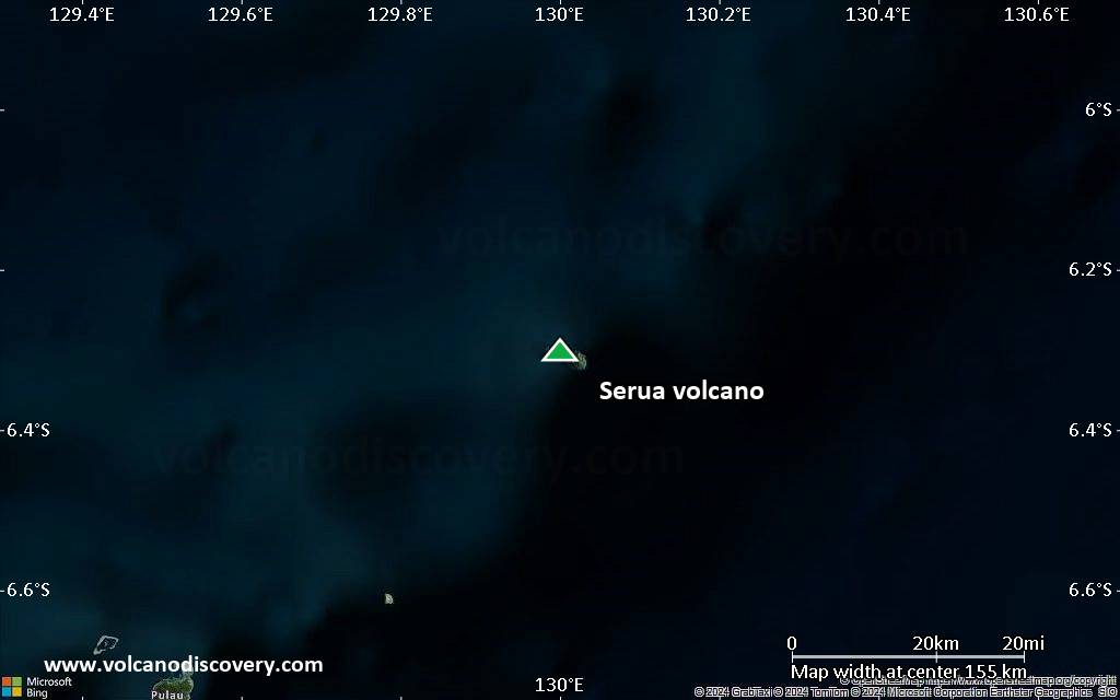
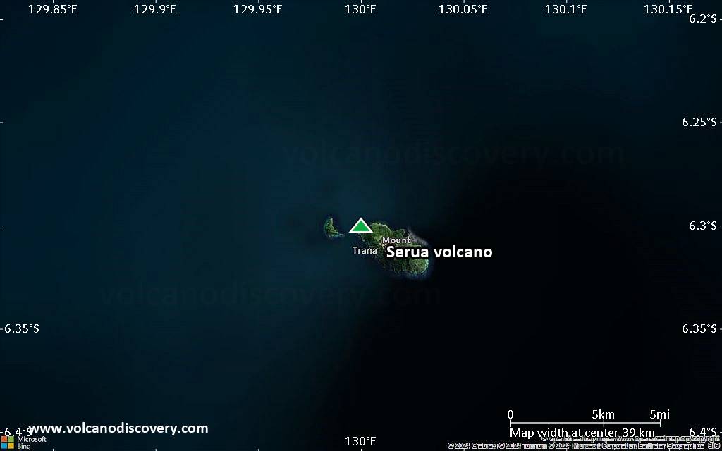
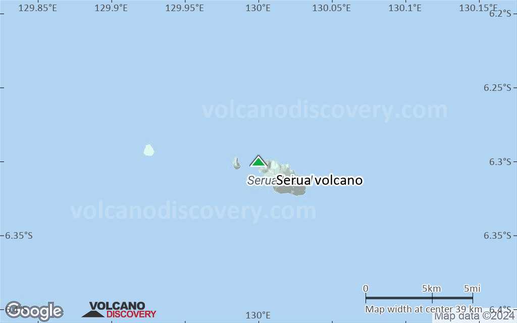
Serua volcano (also known as Legatala) is one of the most active volcanoes of the Banda Sea. It forms a small 2x4 km wide island in the eastern Banda Sea, Indonesia. Andesitic Serua volcano is the tip of a stratovolcano rising 3600 m from the sea floor. It has a truncated cone formed by the Gunung Wuarlapna lava dome surrounded by a partial ring wall (somma wall) of the remnants of an older, collapsed edifice. Two old lava flows are visible on the east flank.
A permanent plume of volcanic gases is emitted from vents near the central dome (Gunung Wuarlapna), which forms the summit of Serua Island.
Active fumaroles are found in the area between Legatala and the NE part of the summit lava dome, where ground temperatures reach 97°C at 20 cm depth. Hot springs are found on the north beach.

[smaller] [larger]
Typical eruption style: Explosive
Serua volcano eruptions: 1921, 1919, 1859, 1858, 1846, 1845 (?), 1844, 1694, 1693, 1692?, 1687, 1683

Latest nearby earthquakes

Date and TimeMag / DepthDistance / Location
May 12, 02:48 pm (Jayapura)
4.5

178 km
20 km (12 mi) to the N Banda Sea Info

Significant volcanic eruptions: Serua volcano

In the past 10,000 years, Serua has had at least 10 confirmed eruptions, all documented by historical records or observations. Additionally, there are 2 uncertain or discredited eruptions from Serua volcano.
The table below lists all known eruptions (date in bold face) of Serua volcano in historic times and during the past 10,000 years. Updates on the most recent volcanic activity of Serua can be found on the news page of Serua volcano.
DateNoteVEIDeathsDamage
1921 Sep 18Summit and south flank
Historical obs./docs.
2
1919 Nov
Historical obs./docs.
2
1859
Historical obs./docs.
2
1858
Historical obs./docs.
2
1846 Sep
Historical obs./docs.
2
?? 1845
Uncertain Eruption
2
1844 Aug - Sep
Historical obs./docs.
2
1694 AD
Historical obs./docs.
3
1693 AD Jun 4 - Jul
Historical obs./docs.
4?
?? 1692 AD Jun 4 ?
Uncertain Eruption
?
1692 AD Jun 4
(eruption 1692 AD Jun 4 ?)
Historical obs./docs.
450-100 (*)
Info
1687 AD Jun 15
Historical obs./docs.
3
1683 AD
Historical obs./docs.
3
(*) Estimated numbers
Remark:
Our list of volcanic eruptions closely follows the database of eruptions of the Smithsonian's Global Volcanism Project (GVP), the internationally most recognized data source for volcanic eruptions, but also includes significant eruptive episodes or related volcano events. "Volcanic eruptions" are usually to be understood as sequences of individual eruptive episodes that can follow each other, or even overlap (if several vents are involved), and can last many years, decades or even longer. For example, the current activity of Stromboli volcano is understood as a single eruption that has been ongoing since 1934.
Sources: NOAA National Centers for Environmental Information (NCEI), Global Significant Volcanic Eruptions Database. doi:10.7289/V5TD9V7K | Global Volcanism Project / Smithsonian Institution

Serua Volcano FAQ

+When was the last eruption of Serua volcano?

+How often does Serua volcano erupt?

+How active is Serua volcano at present?

+When was the largest eruption of Serua volcano?

Latest satellite images
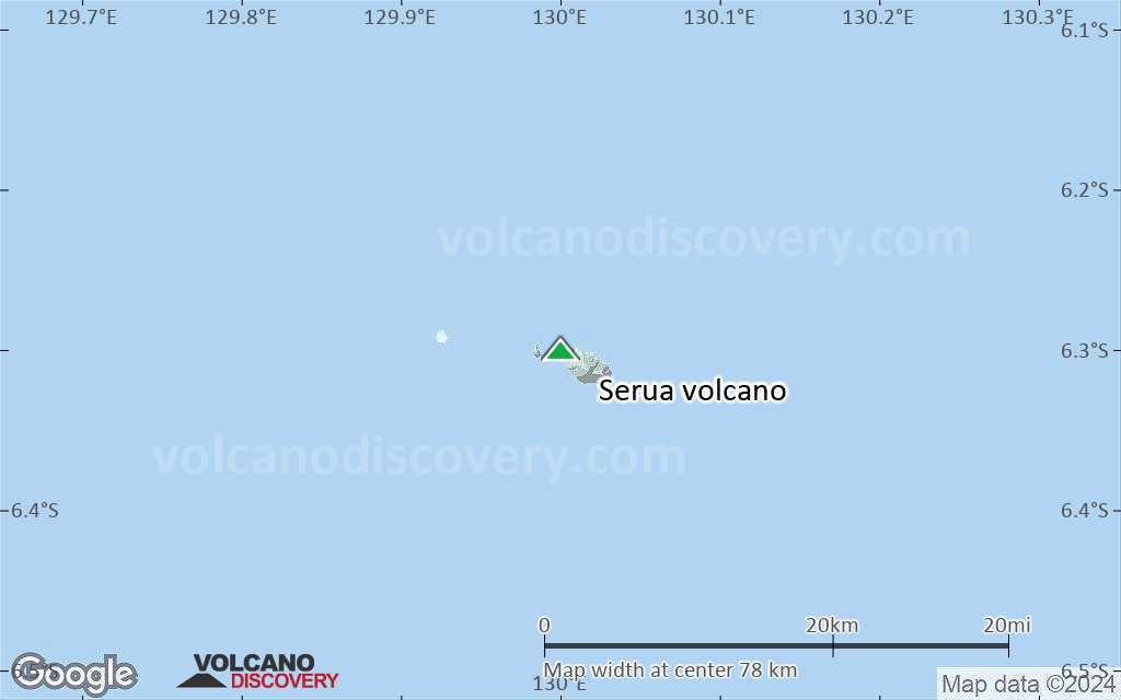
Serua satellite image sat1Serua satellite image sat2

Serua Volcano Maps

Below is a selection of maps showing the location and surroundings of the volcano at various resolutions based on aerial-imagery / terrain maps. Feel free to use them for non-commercial purposes on your blog or website as long as you credit them with a link back to this page (click to copy it).
Satellite/aerial-type map of Serua volcano (world scale)
Terrain-type map of Serua volcano (world scale)
Satellite/aerial-type map of Serua volcano (region scale large)
Terrain-type map of Serua volcano (region scale large)
Satellite/aerial-type map of Serua volcano (region scale medium)
Terrain-type map of Serua volcano (region scale medium)
Satellite/aerial-type map of Serua volcano (region scale small)
Terrain-type map of Serua volcano (region scale small)
Satellite/aerial-type map of Serua volcano (local scale large)
Terrain-type map of Serua volcano (local scale large)
Satellite/aerial-type map of Serua volcano (local scale medium)
Terrain-type map of Serua volcano (local scale medium)
Satellite/aerial-type map of Serua volcano (local scale small)
Terrain-type map of Serua volcano (local scale small)
Satellite/aerial-type map of Serua volcano (scale of 10s of km)
Terrain-type map of Serua volcano (scale of 10s of km)
Satellite/aerial-type map of Serua volcano (scale of 20-40 km)
Terrain-type map of Serua volcano (scale of 20-40 km)
Satellite/aerial-type map of Serua volcano (scale of approx. 10-20 km)
Terrain-type map of Serua volcano (scale of approx. 10-20 km)
Satellite/aerial-type map of Serua volcano (scale of 5-10 km)
Satellite/aerial-type map of Serua volcano (scale of few kilometers)
Volcanoes & Earthquakes - new app for Android
Guaranteed tours
9-25 Jun 2025: Volcanoes and Spices - Sulawesi/Halmahera (Indonesia)
7-22 Jul 2025: From Krakatau to Bali - Java (Indonesia)
7-23 Jul 2025: Volcanoes and Spices - Sulawesi/Halmahera (Indonesia)
1-17 Aug 2025: Volcanoes and Spices - Sulawesi/Halmahera (Indonesia)
1-14 Oct 2025: Desert, salt and volcanoes - Danakil desert (Ethiopia)
4-12 Oct 2025: From Stromboli to Etna - Sicily and Eolian Islands (Italy)
6-21 Oct 2025: From Krakatau to Bali - Java (Indonesia)
3-19 Nov 2025: Volcanoes and Spices - Sulawesi/Halmahera (Indonesia)
= spaces available   = guaranteed   = few spaces left   = booked out

No news in this list.

On this page:

Try our free app!
Volcanoes & Earthquakes - new app for Android
Android | iOS version

More on VolcanoDiscovery

Why is there advertising on this site?

Support us - Help us upgrade our services!

We truly love working to bring you the latest volcano and earthquake data from around the world. Maintaining our website and our free apps does require, however, considerable time and resources.
We need financing to increase hard- and software capacity as well as support our editor team. We're aiming to achieve uninterrupted service wherever an earthquake or volcano eruption unfolds, and your donations can make it happen! Every donation will be highly appreciated. If you find the information useful and would like to support our team in integrating further features, write great content, and in upgrading our soft- and hardware, please make a donation (PayPal).

Planned features:Thanks to your past donations, these features have been added recently:
Download and Upgrade the Volcanoes & Earthquakes app to get one of the fastest seismic and volcano alerts online:
Android | IOS
Thank you!
Sources: VolcanoDiscovery / VolcanoAdventures and other sources as noted.
Use of material: Most text and images on our websites are owned by us. Re-use is generally not permitted without authorization. Contact us for licensing rights.
Volcanoes & Earthquakes
VolcanoDiscovery Home
Volcanoes | Earthquakes | Photos | Volcano News | | Shop | App
Adventure & Study Travel
Tours to Volcanoes and Volcanic Areas: walking tours, photo tours, study tours
Tours & Dates | FAQ | About us
Get our newsletter!
Company info
Contact | Legal info | Terms & conditions
Follow us
Follow us on facebook Follow us on Instagram Follow us on Bluesky Follow us on Twitter Visit our Youtube channel
EN | DE | EL | ES | FR | IT | RU
VolcanoDiscovery GmbH, Germany, Reg. nr.: HRB 103744, EU Tax Id: DE 297 465 123 owned and created by
Dr. Tom Pfeiffer, volcanologist, volcano photographer, tour organizer member of
IAVCEI
IAVCEI
Vulkanologische Gesellschaft
Volcanological Society
Ecotourism Greece
Ecotourism Greece
RUV insurance
Insured by R+V
VolcanoDiscovery © 2004- All Rights Reserved | Privacy - Cookie Settings