Shirinki Volcano
Updated: May 2, 2024 13:05 GMT -
stratovolcano 761 m / 2,497 ft
Northern Kuriles (Kuril Islands), 50.2°N / 154.98°E
Current status: normal or dormant (1 out of 5)
Northern Kuriles (Kuril Islands), 50.2°N / 154.98°E
Current status: normal or dormant (1 out of 5)
Shirinki stratovolcano forms a small 3 km wide island 18 km west of Paramushir Island in the northern Kuriles. Most of the volcano is submerged and its peak rises 761 m above the sea. Shirinki volcano has a 750 m wide summit crater with young lava domes at the top, which could have been formed in historic times, but no eruptions have been observed.
[smaller] [larger]
Shirinki volcano eruptions: unknown
Latest nearby earthquakes
| Time | Mag. / Depth | Distance / Location | |||
Background
Shirinki belongs to a chain of volcanoes west of the main Kuril Island arc. The truncated andesitic cone is of Holocene age and rises to a height of 761 m. The walls of the 750-m-wide breached summit crater - caused by landslides during slpe failure on the volcano's steep sides - extend to the southern coast.2 lava domes were constructed near the headwall of the breached crater.
The remnants of an older volcano occupy the eastern side of the island, much of which is covered by pumice-rich pyroclastic fall deposits.
Source: Smithsonian GVP Shirinki volcano information
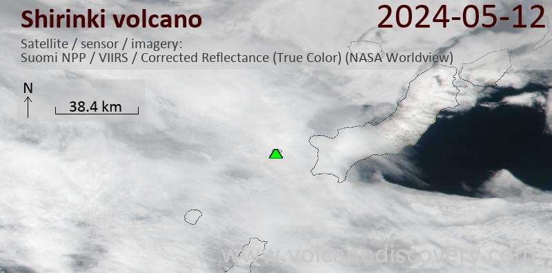
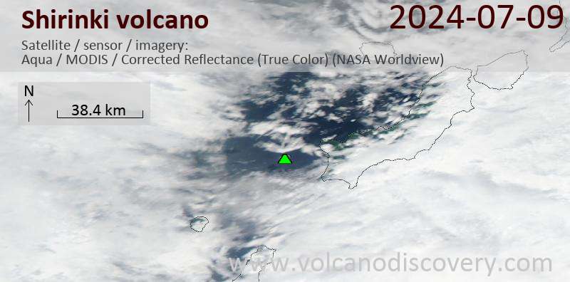
Latest satellite images