Simbo Volcano
Updated: May 2, 2024 00:50 GMT -
stratovolcanoes 335 m / 1,099 ft
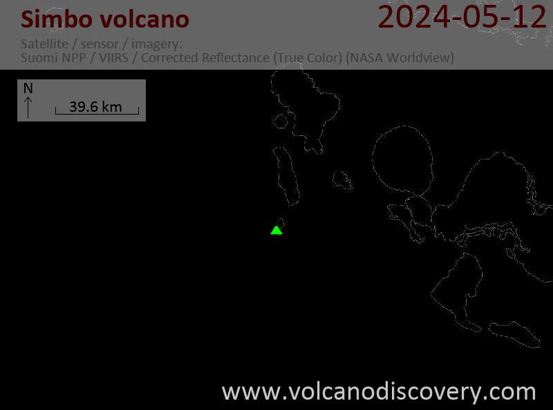
Simbo Island, Solomon Islands, -8.28°S / 156.52°E
Current status: normal or dormant (1 out of 5)
Simbo Island, Solomon Islands, -8.28°S / 156.52°E
Current status: normal or dormant (1 out of 5)
Last update: 13 Dec 2021 (Smithsonian / USGS Weekly Volcanic Activity Report)
Simbo volcano forms the small Simbo Island located in the Western Solomons about 31 km SW of Ghizo. The volcano last erupted sometime between 1900 and 1920, based on oral traditions.
Simbo Island is famous for its head-hunter tribe discovered in the 19th century. This unpleasant tradition has ended long since, but the island is famous for its skull houses.
[smaller] [larger]
Simbo volcano eruptions: early 20th century around 1910
Latest nearby earthquakes
| Time | Mag. / Depth | Distance / Location | |||
Background
Simbo Island is composed of 3 truncated andesitic volcanic centers. Mount Patukio has been dated to about 2 million years of age.The geologically younger southern half of the island is thermally active. It contains fumarolic areas that are located on a tectonic fault. Hot springs occur near the saltwater Lake Ove on the western coast and along the eastern coast near Mount Patukio, which contains a steep-walled summit crater.
Grover (1955) noted native accounts that the Ngusunu explosion crater along the SW coast of the island became bigger by explosions 1 or 2 generations prior to 1955, probably after a visit by Guppy in 1882. Press reports mentioned an eruption at Simbo in the early 1900s that forced the evacuation of villages beside Lake Ove, immediately adjacent to Ngusunu crater.
Sources:
- Smithsonian / GVP volcano information
- Grover J C (1955.) "Geology, mineral deposits and prospects of mining development in the British Solomon Islands Protectorate.", Interim Geol Surv Brit Solomon Is Mem, v 1, 1-151
Eruptions of Simbo volcano
2 April 2007 Solomon Islands earthquake
A large 8.2 magnitude earthquake shook the Solomon Islands on 2 April 2007 and caused a tsunami that damaged or destroyed houses up to 200 m inland on Simbo Island. Residents of Simbo later reported that the island smelled of sulfur, suggesting that the quake had perturbated the shallow hydrothermal system, releasing larger amounts of sulfur gas from the fumaroles. Many temporarily left the island in fear of a possible eruption.
A large 8.2 magnitude earthquake shook the Solomon Islands on 2 April 2007 and caused a tsunami that damaged or destroyed houses up to 200 m inland on Simbo Island. Residents of Simbo later reported that the island smelled of sulfur, suggesting that the quake had perturbated the shallow hydrothermal system, releasing larger amounts of sulfur gas from the fumaroles. Many temporarily left the island in fear of a possible eruption.
2006 seismic swarm
Towards the end of September 2006, a seismic swarm occurred at Simbo Island, which was felt by residents during several days. On 21 September, 7 earthquakes were reported, but their magnitude and depth is unknown because there is no monitoring on the island. It is likely though that the quakes were volcanic in origin.
Towards the end of September 2006, a seismic swarm occurred at Simbo Island, which was felt by residents during several days. On 21 September, 7 earthquakes were reported, but their magnitude and depth is unknown because there is no monitoring on the island. It is likely though that the quakes were volcanic in origin.
Latest satellite images