Singu Plateau Volcano
Updated: Aug 2, 2025 11:24 GMT -
fissure vents
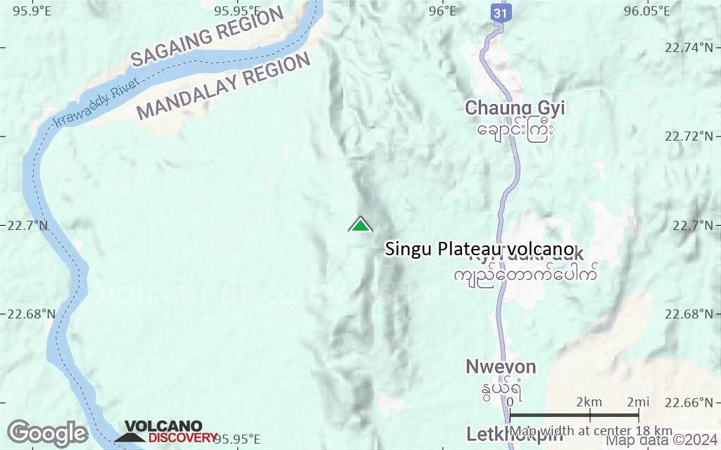
Burma (Myanmar), 22.7°N / 95.98°E ")
Summit height: 507 m / 1,663 ft
Current status: normal or dormant (1 out of 5)
Last update: 28 Feb 2020
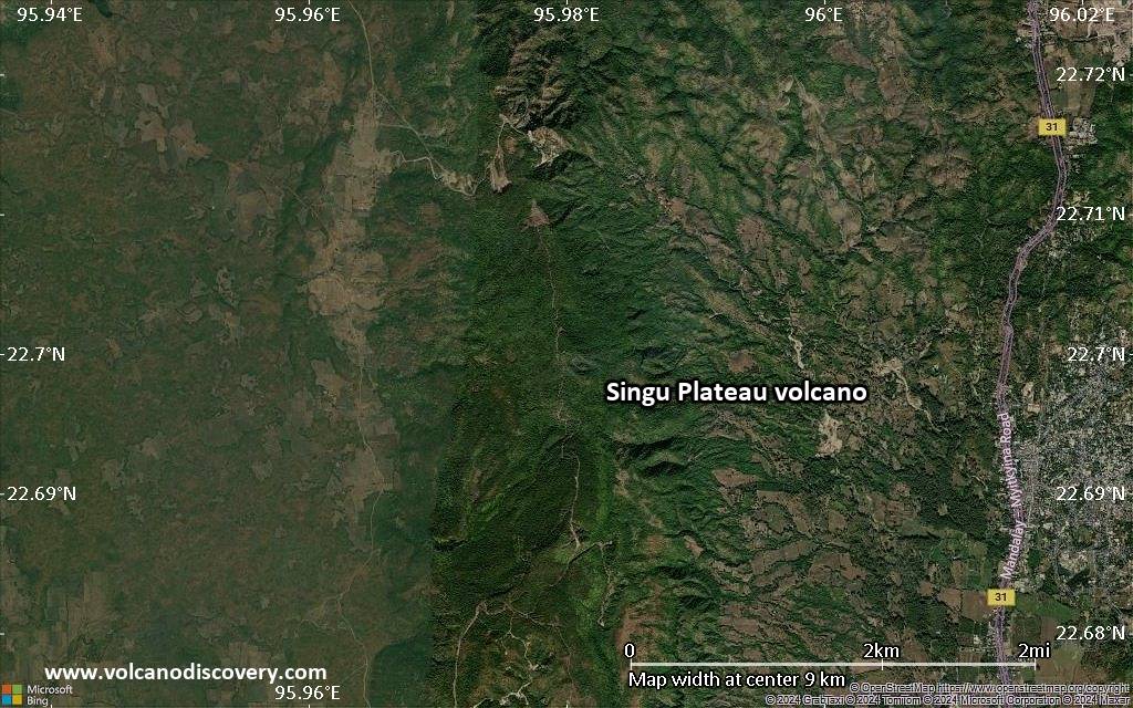
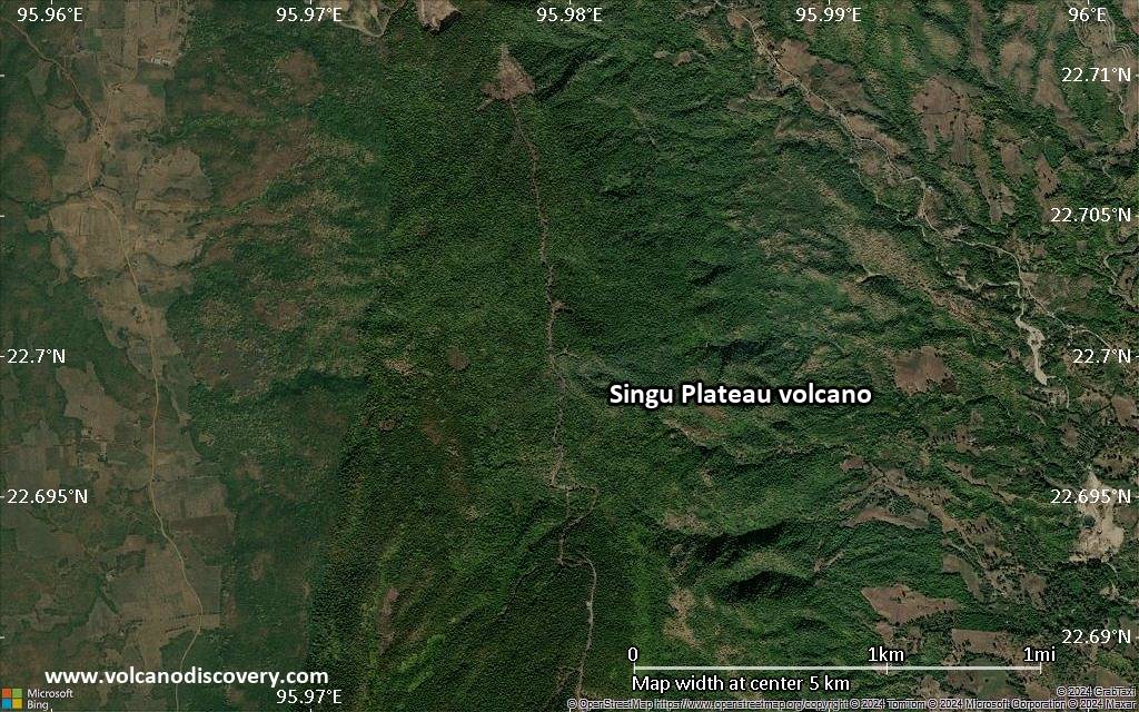
Singu Volcano, or better the Singu Plateau (also known as Letha Taung) is a young lava plateau of basaltic-trachyandesite lava in north-central Burma, north of the city of Mandalay.
Eruptions less than 10,000 years ago produced large lava flows from a series of fissure vents. The flows cover an area of about 62 sq km.
[smaller] [larger]
Singu Plateau volcano eruptions: less than 10,000 years ago
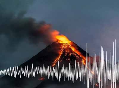
Latest nearby earthquakes
| Date and Time | Mag / Depth | Distance / Location | |||
|---|---|---|---|---|---|
| Jul 29, 11:19 pm (Yangon) | 4.4 10 km | 9 km (5.6 mi) to the W | Info | ||
| Jul 29, 10:04 pm (Yangon) | 4.6 10 km | 14 km (8.9 mi) to the W | Info | ||
Latest satellite images
Singu Plateau Volcano Maps
Below is a selection of maps showing the location and surroundings of the volcano at various resolutions based on aerial-imagery / terrain maps. Feel free to use them for non-commercial purposes on your blog or website as long as you credit them with a link back to this page (click to copy it).

Satellite/aerial-type map of Singu Plateau volcano (world scale)
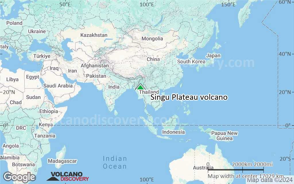
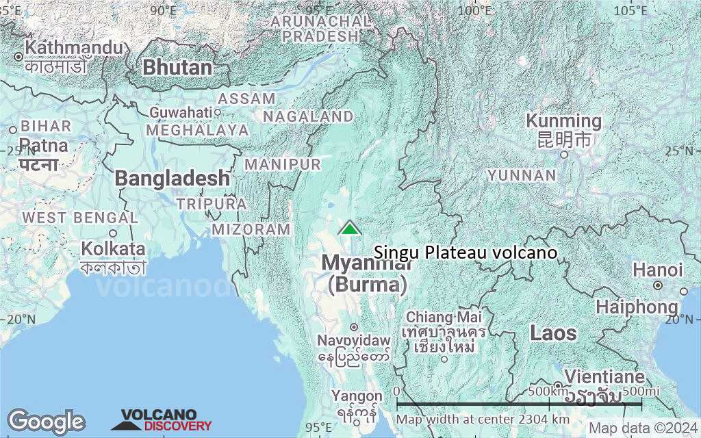
Terrain-type map of Singu Plateau volcano (world scale)
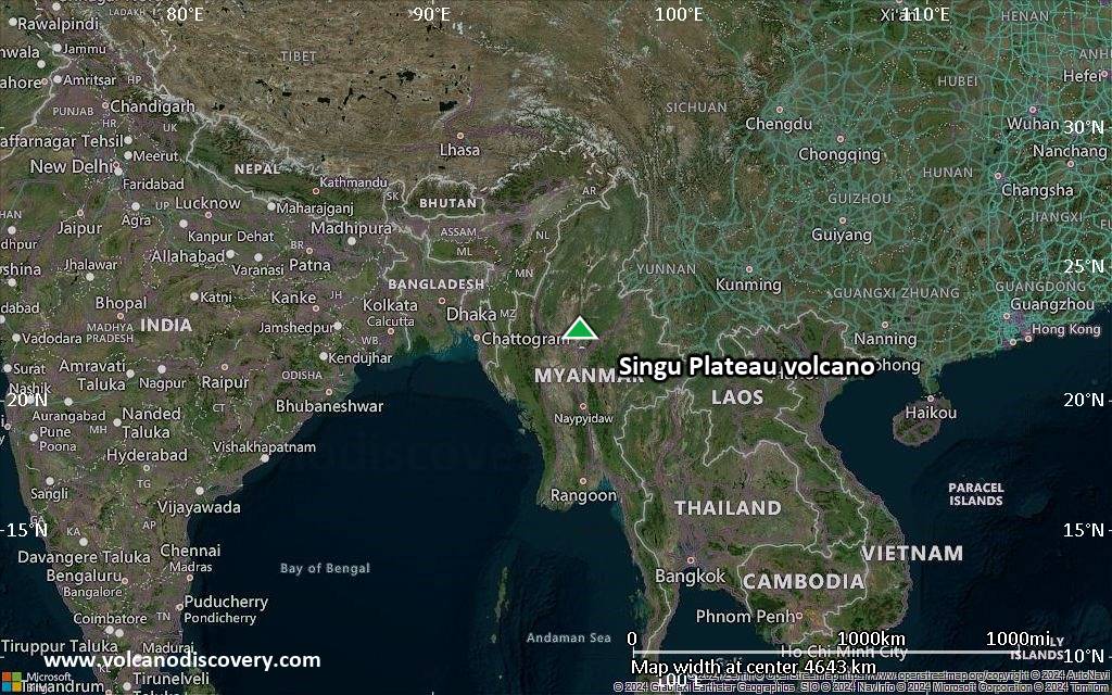
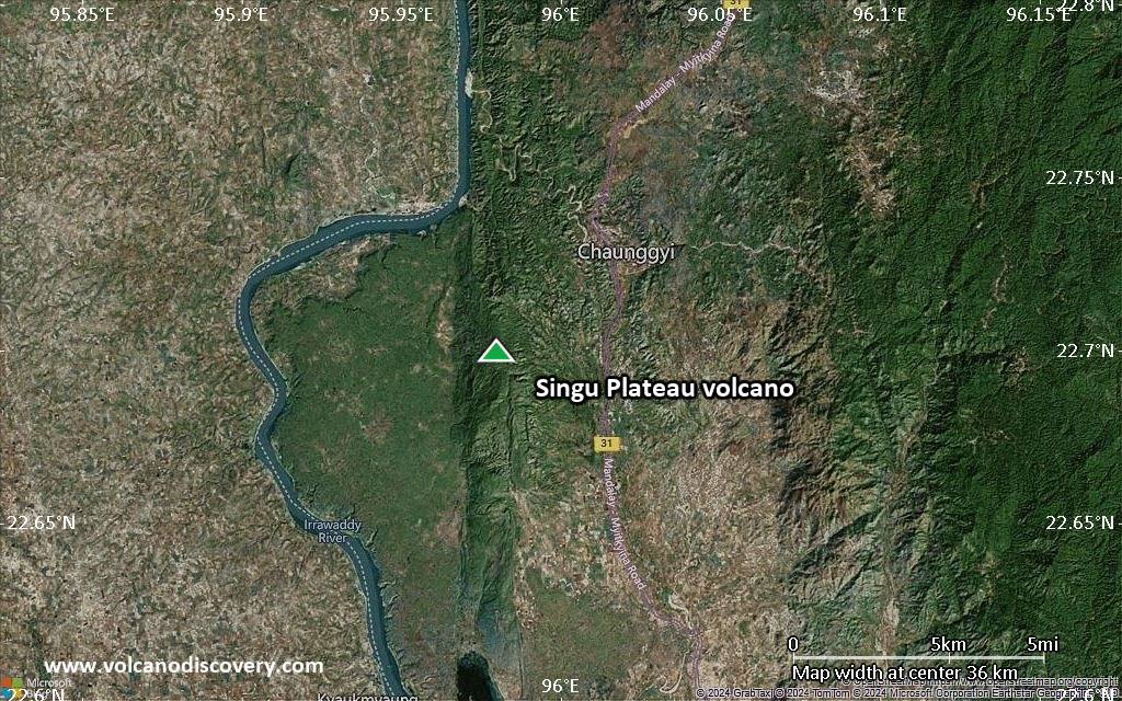
Satellite/aerial-type map of Singu Plateau volcano (region scale large)
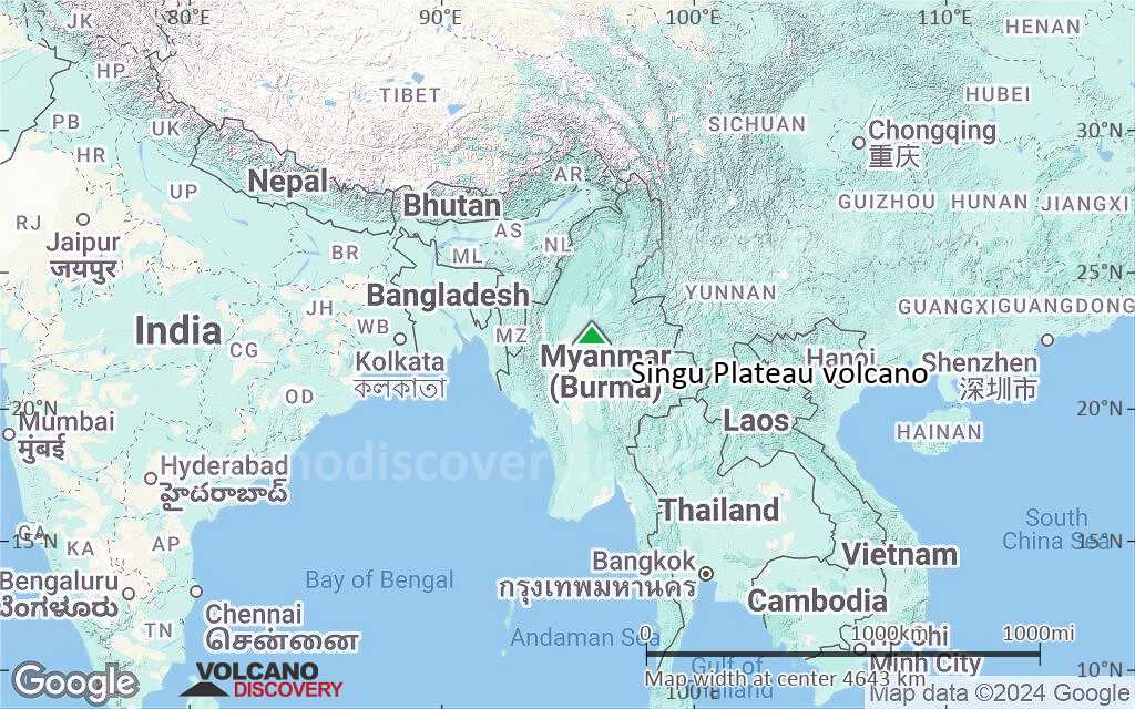
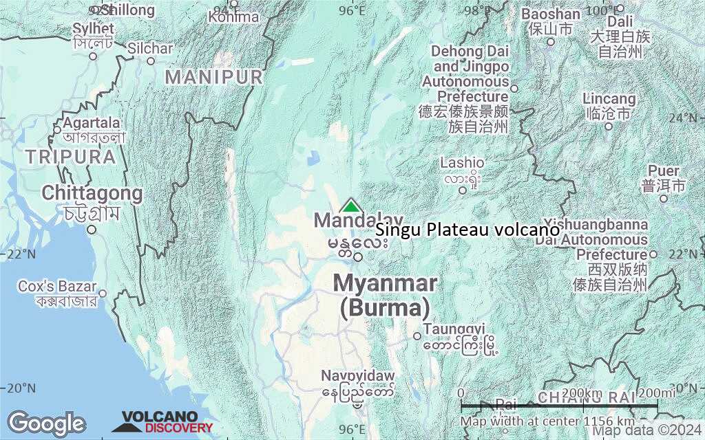
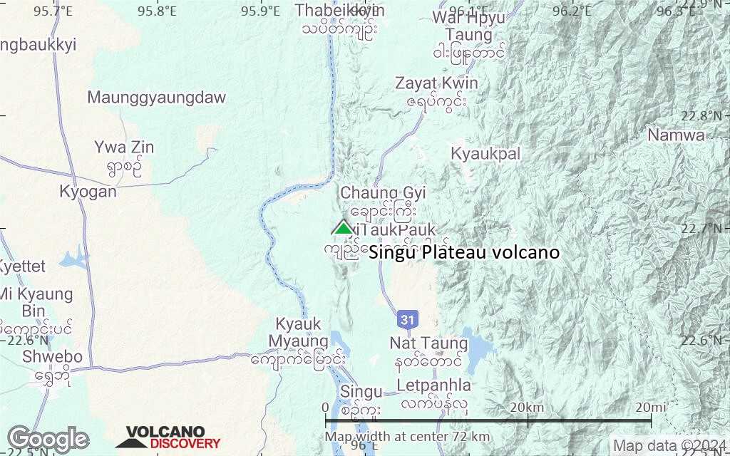
Terrain-type map of Singu Plateau volcano (region scale large)
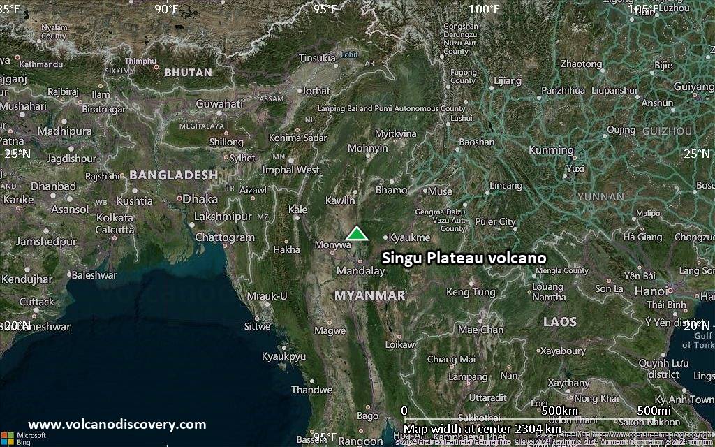
Satellite/aerial-type map of Singu Plateau volcano (region scale medium)
Terrain-type map of Singu Plateau volcano (region scale medium)

Satellite/aerial-type map of Singu Plateau volcano (region scale small)
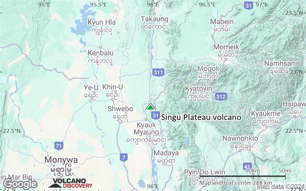
Terrain-type map of Singu Plateau volcano (region scale small)

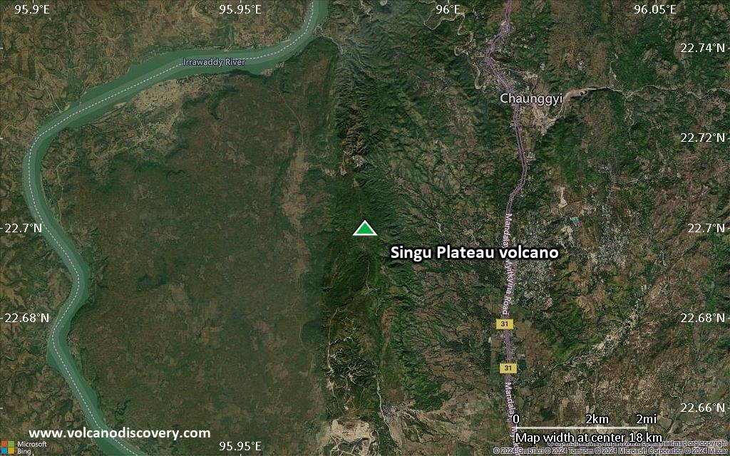
Satellite/aerial-type map of Singu Plateau volcano (local scale large)

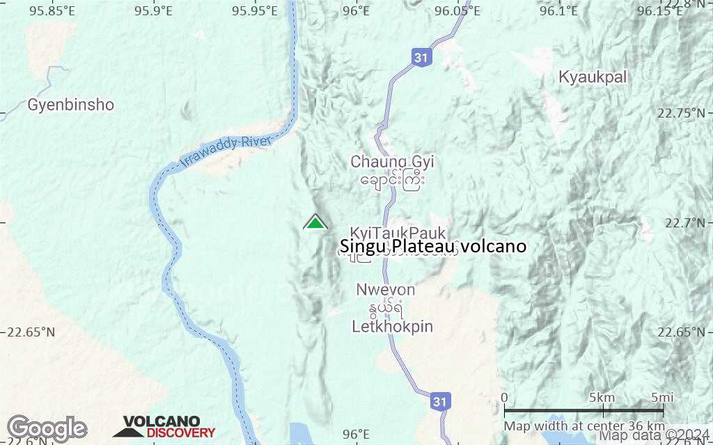
Terrain-type map of Singu Plateau volcano (local scale large)

Satellite/aerial-type map of Singu Plateau volcano (local scale medium)
Terrain-type map of Singu Plateau volcano (local scale medium)

Satellite/aerial-type map of Singu Plateau volcano (local scale small)

Terrain-type map of Singu Plateau volcano (local scale small)
Satellite/aerial-type map of Singu Plateau volcano (scale of 10s of km)
Terrain-type map of Singu Plateau volcano (scale of 10s of km)
Satellite/aerial-type map of Singu Plateau volcano (scale of 20-40 km)
Terrain-type map of Singu Plateau volcano (scale of 20-40 km)
Satellite/aerial-type map of Singu Plateau volcano (scale of approx. 10-20 km)
Terrain-type map of Singu Plateau volcano (scale of approx. 10-20 km)
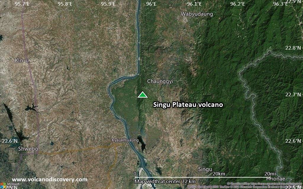
Satellite/aerial-type map of Singu Plateau volcano (scale of 5-10 km)
Satellite/aerial-type map of Singu Plateau volcano (scale of few kilometers)