Teahitia Volcano
Updated: Jun 13, 2025 08:33 GMT -
Submarine volcano
France, Society Islands, -17.57°S / -148.85°W 
Summit height: -1400 m / - 4,593 ft
Current status: normal or dormant (1 out of 5)
[smaller] [larger]
Teahitia volcano eruptions: 1985
Latest nearby earthquakes
| Date and Time | Mag / Depth | Distance / Location | |||
|---|---|---|---|---|---|
Background
Teahitia is a submarine volcano in the Society Islands, whose summit reaches to within 1400 m of the surface, 40 km NE of the SE tip of Tahiti Island. Several seismic swarms in the 1980s included volcanic tremor that may have resulted from submarine eruptions (Talandier and Opal, 1984). Rocks dredged from the volcano in 1986 "exploded" when they reached the surface, suggesting recent lava extrusion that had not yet had time to equilabrate with pressure and temperature conditions on the submerged flanks of the edifice. Two hydrothermal fields each about 1km by 400 m in size that emitted low-temperature hydrothermal venting were discovered on the flanks of the volcano during submersible dives in 1986 and 1989.---
Smithsonian / GVP volcano information
Significant volcanic eruptions: Teahitia volcano
In the past 10,000 years, Teahitia has had at least 4 confirmed eruptions, all documented by historical records or observations.
The table below lists all known eruptions (date in bold face) of Teahitia volcano in historic times and during the past 10,000 years. Updates on the most recent volcanic activity of Teahitia can be found on the news page of Teahitia volcano.
| Date | Note | VEI | Deaths | Damage | |
|---|---|---|---|---|---|
Historical obs./docs. | 0 | ||||
Historical obs./docs. | 0 | ||||
Historical obs./docs. | 0 | ||||
Historical obs./docs. | 0 | ||||
Remark:
Our list of volcanic eruptions closely follows the database of eruptions of the Smithsonian's Global Volcanism Project (GVP), the internationally most recognized data source for volcanic eruptions, but also includes significant eruptive episodes or related volcano events. "Volcanic eruptions" are usually to be understood as sequences of individual eruptive episodes that can follow each other, or even overlap (if several vents are involved), and can last many years, decades or even longer. For example, the current activity of Stromboli volcano is understood as a single eruption that has been ongoing since 1934.
Sources: NOAA National Centers for Environmental Information (NCEI), Global Significant Volcanic Eruptions Database. doi:10.7289/V5TD9V7K | Global Volcanism Project / Smithsonian Institution
Teahitia Volcano FAQ
+When was the last eruption of Teahitia volcano?
The last confirmed eruption of Teahitia occurred in 1985.
+How often does Teahitia volcano erupt?
There are no known historic eruptions, but evidence from geologic records shows that it has had at least 4 eruptions over the past 10,000 years. This number is likely much higher because many past eruptions might not have left evidence recognizeable today and/or the volcano might not have been studied in too much detail. Using the available data, a very conservative estimate is that Teahitia volcano erupts every 2,500 years.
+How active is Teahitia volcano at present?
Teahitia volcano is occasionally active: Since 1900, it has had 4 eruptions, and been active during 4 years out of 126 as of now. This means, Teahitia has been in eruption one in 31.5 years on average. The last eruption was in 1985 and ended 40 years ago.
Latest satellite images
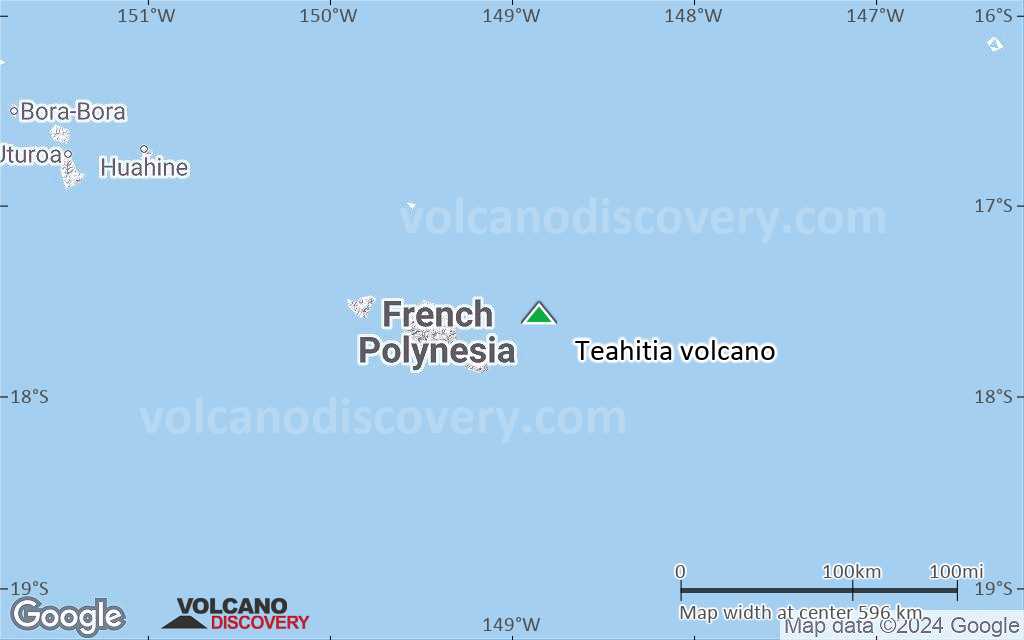
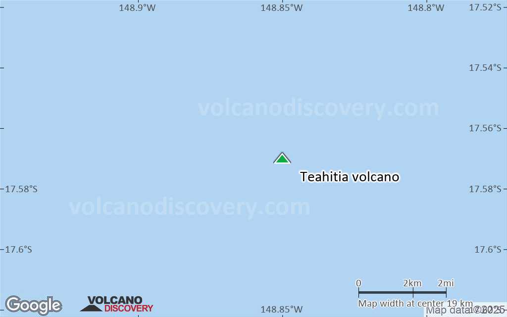
Teahitia Volcano Maps
Below is a selection of maps showing the location and surroundings of the volcano at various resolutions based on aerial-imagery / terrain maps. Feel free to use them for non-commercial purposes on your blog or website as long as you credit them with a link back to this page (click to copy it).

Satellite/aerial-type map of Teahitia volcano (world scale)

Terrain-type map of Teahitia volcano (world scale)

Satellite/aerial-type map of Teahitia volcano (region scale large)

Terrain-type map of Teahitia volcano (region scale large)

Satellite/aerial-type map of Teahitia volcano (region scale medium)

Terrain-type map of Teahitia volcano (region scale medium)

Satellite/aerial-type map of Teahitia volcano (region scale small)

Terrain-type map of Teahitia volcano (region scale small)

Satellite/aerial-type map of Teahitia volcano (local scale large)
Terrain-type map of Teahitia volcano (local scale large)

Satellite/aerial-type map of Teahitia volcano (local scale medium)

Terrain-type map of Teahitia volcano (local scale medium)

Satellite/aerial-type map of Teahitia volcano (local scale small)

Terrain-type map of Teahitia volcano (local scale small)

Satellite/aerial-type map of Teahitia volcano (scale of 10s of km)

Terrain-type map of Teahitia volcano (scale of 10s of km)

Satellite/aerial-type map of Teahitia volcano (scale of 20-40 km)

Terrain-type map of Teahitia volcano (scale of 20-40 km)

Satellite/aerial-type map of Teahitia volcano (scale of approx. 10-20 km)
Terrain-type map of Teahitia volcano (scale of approx. 10-20 km)

Satellite/aerial-type map of Teahitia volcano (scale of 5-10 km)

Satellite/aerial-type map of Teahitia volcano (scale of few kilometers)