Three Sisters Volcano
Updated: May 22, 2025 04:28 GMT -
Complex volcano, cinder cones, shields, fissure vents
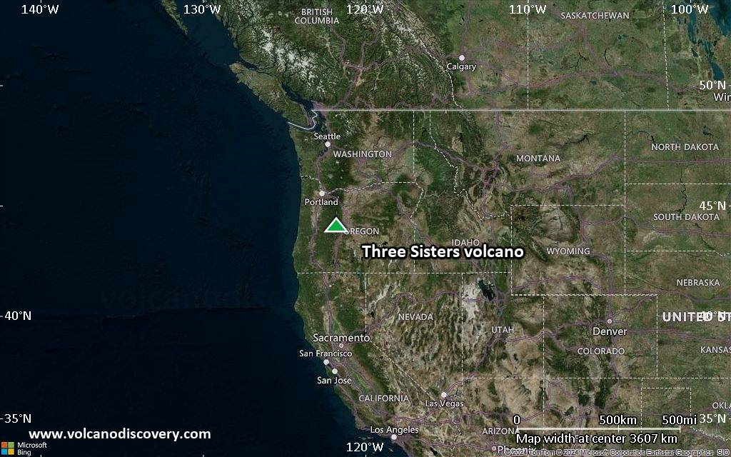
Central Oregon, USA, 44.13°N / -121.77°W 
Summit height: 3159 m / 10364 ft
Current status: normal or dormant (1 out of 5)
Last update: 3 Feb 2022 (Smithsonian / USGS Weekly Volcanic Activity Report)
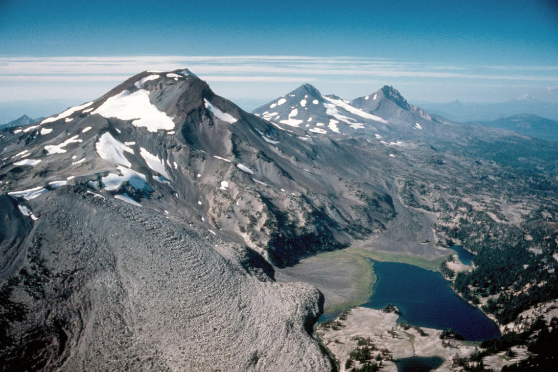
The Three Sisters volcano group in Central Oregon consists of several vents and volcanic edifices including the stratocones North Sister, as well as the younger Middle Sister and South Sister, which forms its summit.
Volcanic activity occurred frequently from various vents during the past 10,000 years, last about 1,600 years ago. An eruption reported from 1853 sometimes reported in literature has been discredited.
[smaller] [larger]
Three Sisters volcano eruptions: none in historical times
1853 (discredited), radiocarbon-dated: 440 A.D. ± 150 years, 40 A.D.± 200 years, approx. 50 BC, 350 BC, 800 BC, 7350 BC ± 2700 years
Latest nearby earthquakes
| Date and Time | Mag / Depth | Distance / Location | |||
|---|---|---|---|---|---|
Background
The north-south-trending Three Sisters volcano group dominates the landscape of the Central Oregon Cascades. All Three Sisters stratovolcanoes ceased activity during the late Pleistocene, but basaltic-to-rhyolitic flank vents erupted during the Holocene, producing both blocky lava flows north of North Sister and rhyolitic lava domes and flows south of South Sister volcano.Glaciers have deeply eroded the Pleistocene andesitic-dacitic North Sister stratovolcano, exposing the volcano's central plug. Construction of the main edifice ceased at about 55,000 yrs ago, but north-flank vents produced blocky lava flows in the McKenzie Pass area as recently as about 1600 years ago. Middle Sister volcano is located only 2 km to the SW and was active largely contemporaneously with South Sister until about 14,000 years ago.
South Sister is the highest of the Three Sisters. It was constructed beginning about 50,000 years ago and was capped by a symmetrical summit cinder cone formed about 22,000 years ago. The late Pleistocene or early Holocene Cayuse Crater on the SW flank of Broken Top volcano and other flank vents such as Le Conte Crater on the SW flank of South Sister mark mafic vents that have erupted at considerable distances from South Sister itself, and a chain of dike-fed rhyolitic lava domes and flows at Rock Mesa and Devils Chain south of South Sister erupted about 2000 years ago.
This volcano is located within the Three Sisters, a UNESCO Biosphere Reserve property.
Three Sisters Volcano Photos
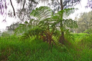
A fern tree at Arjuna volcano area (Photo: Tobias Schorr)
Significant volcanic eruptions: Three Sisters volcano
No historic eruptions are known from Three Sisters volcano, but evidence from at least 6 eruptions during the past 10,000 years can be found in the geological record.
There is one uncertain or discredited eruption in 1853 from Three Sisters volcano.
There is one uncertain or discredited eruption in 1853 from Three Sisters volcano.
The table below lists all known eruptions (date in bold face) of Three Sisters volcano in historic times and during the past 10,000 years. Updates on the most recent volcanic activity of Three Sisters can be found on the news page of Three Sisters volcano.
| Date | Note | VEI | Deaths | Damage | ||
|---|---|---|---|---|---|---|
Discredited Eruption | ||||||
| NW of North Sister (Collier Cone) | 2? | |||||
| NW of North Sister (Four-in-One Cone) | 2? | |||||
| N & S flanks of South Sister (Devils Hill) | 3 | |||||
| SW flank of South Sister (Rock Mesa) | 4 | |||||
| North of North Sister (Yapoah Cone) | 2? | |||||
| WNW of North Sister (Sims Butte) | 2? | |||||
Remark:
Our list of volcanic eruptions closely follows the database of eruptions of the Smithsonian's Global Volcanism Project (GVP), the internationally most recognized data source for volcanic eruptions, but also includes significant eruptive episodes or related volcano events. "Volcanic eruptions" are usually to be understood as sequences of individual eruptive episodes that can follow each other, or even overlap (if several vents are involved), and can last many years, decades or even longer. For example, the current activity of Stromboli volcano is understood as a single eruption that has been ongoing since 1934.
Sources: NOAA National Centers for Environmental Information (NCEI), Global Significant Volcanic Eruptions Database. doi:10.7289/V5TD9V7K | Global Volcanism Project / Smithsonian Institution
Three Sisters Volcano FAQ
+When was the last eruption of Three Sisters volcano?
The last confirmed eruption of Three Sisters occurred around 439 AD.
+When was the largest eruption of Three Sisters volcano?
The largest eruption known from the younger geological history of Three Sisters volcano occurred in 350 BC. It only has a VEI (Volcanic Explosivity Index) of , likely because it was a mainly effusive eruption generating lava flows but very little ash.
Latest satellite images


Three Sisters Volcano Maps
Below is a selection of maps showing the location and surroundings of the volcano at various resolutions based on aerial-imagery / terrain maps. Feel free to use them for non-commercial purposes on your blog or website as long as you credit them with a link back to this page (click to copy it).

Satellite/aerial-type map of Three Sisters volcano (world scale)

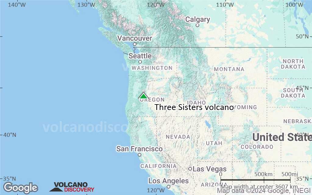
Terrain-type map of Three Sisters volcano (world scale)
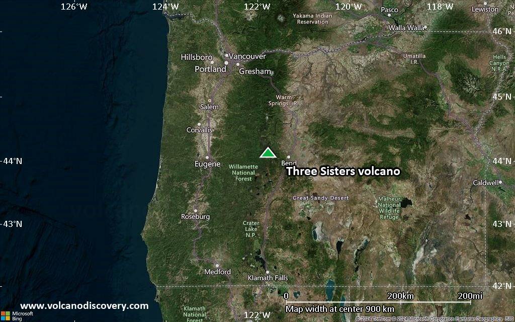
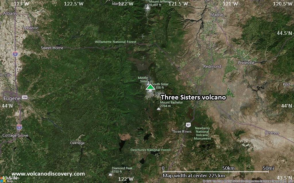
Satellite/aerial-type map of Three Sisters volcano (region scale large)
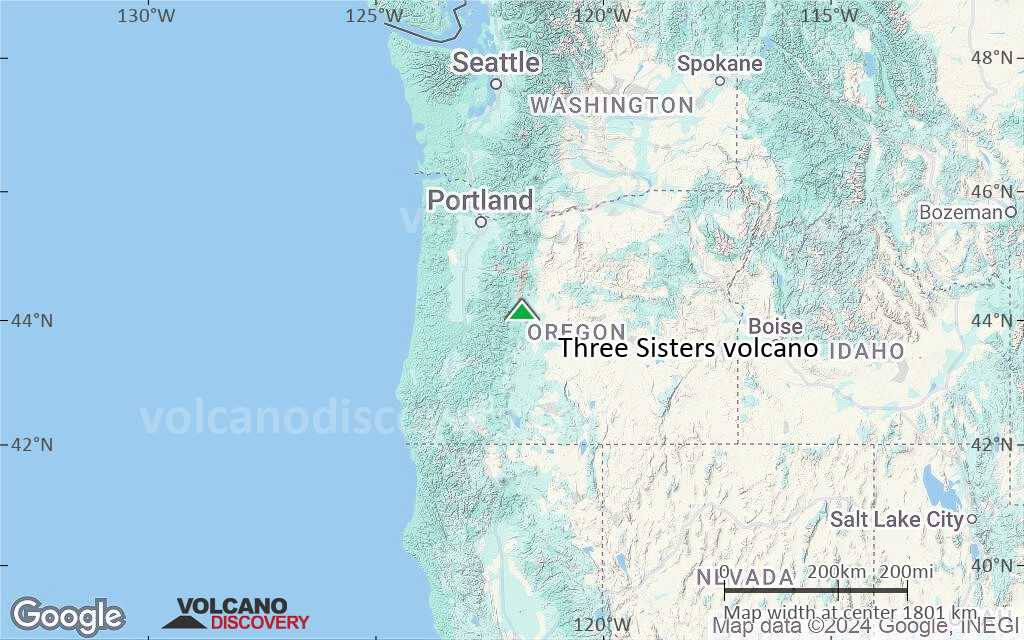
Terrain-type map of Three Sisters volcano (region scale large)

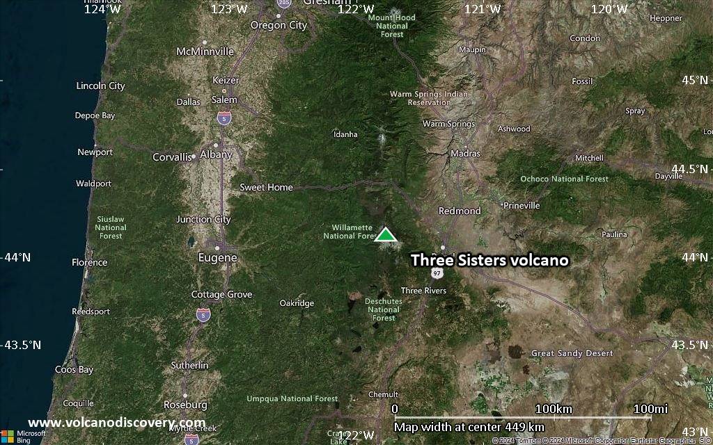
Satellite/aerial-type map of Three Sisters volcano (region scale medium)
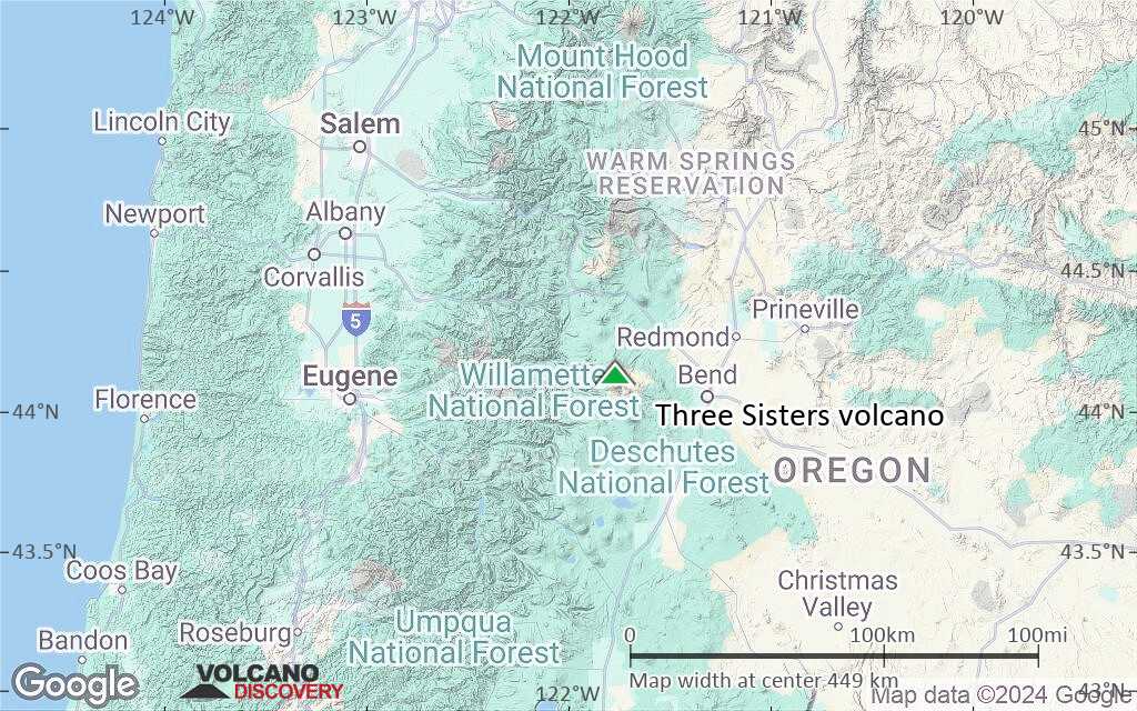
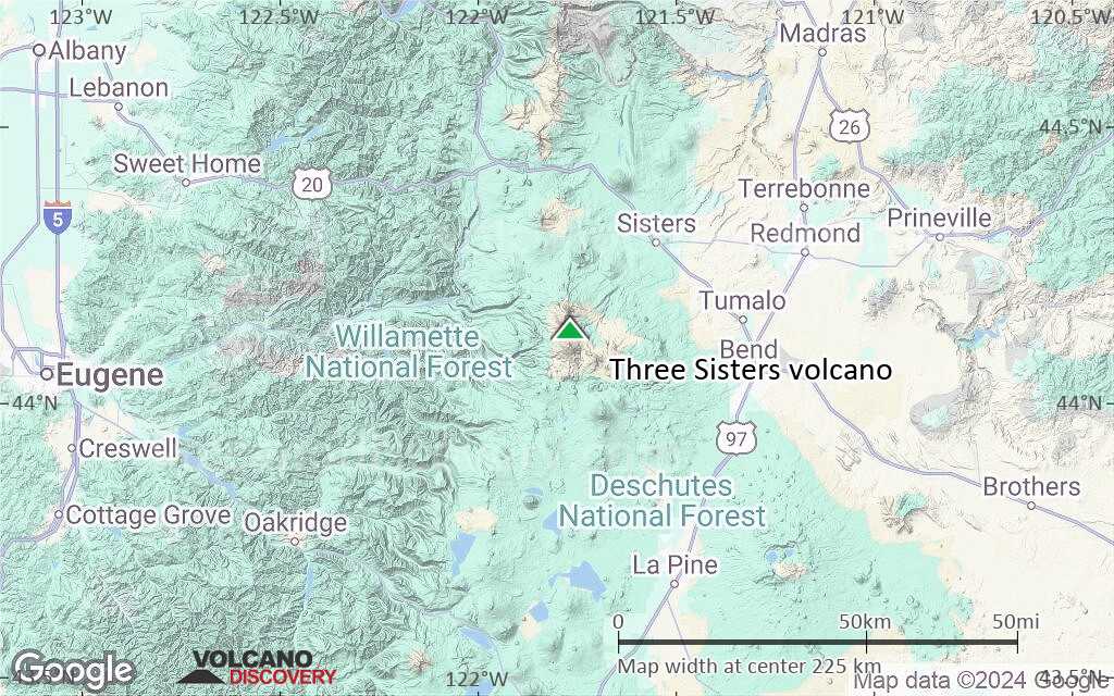
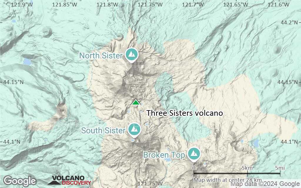
Terrain-type map of Three Sisters volcano (region scale medium)
Satellite/aerial-type map of Three Sisters volcano (region scale small)

Terrain-type map of Three Sisters volcano (region scale small)
Satellite/aerial-type map of Three Sisters volcano (local scale large)
Terrain-type map of Three Sisters volcano (local scale large)
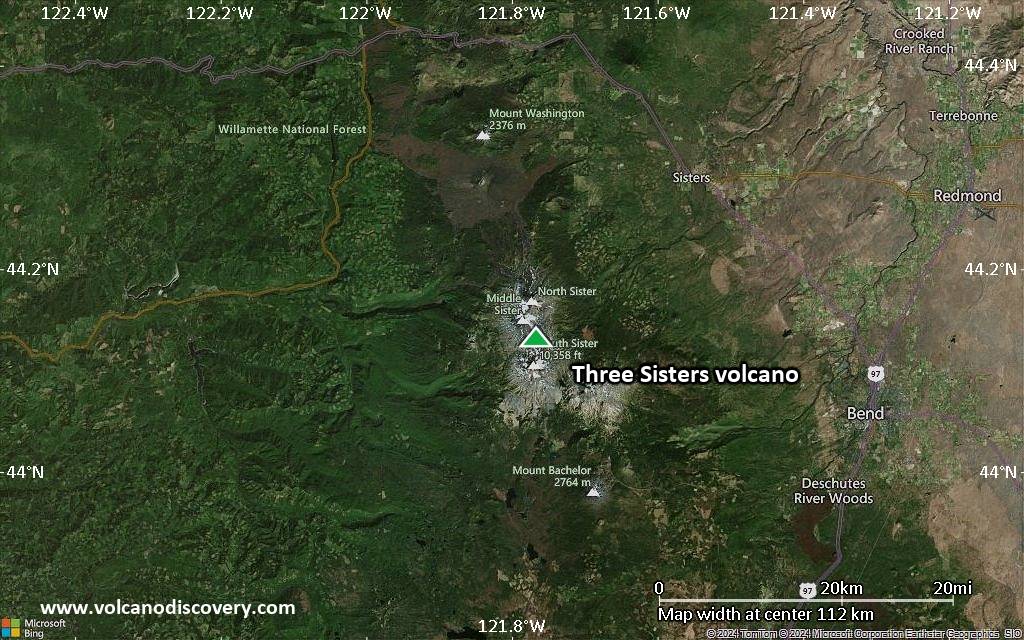
Satellite/aerial-type map of Three Sisters volcano (local scale medium)
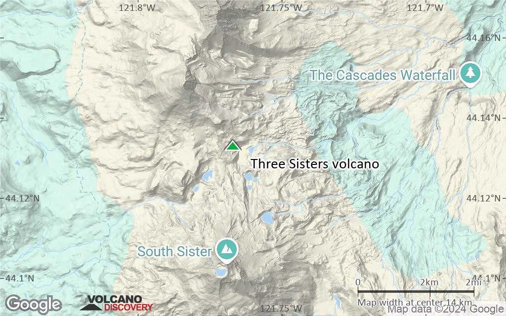
Terrain-type map of Three Sisters volcano (local scale medium)
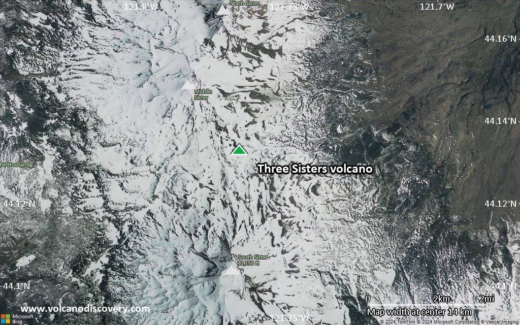
Satellite/aerial-type map of Three Sisters volcano (local scale small)

Terrain-type map of Three Sisters volcano (local scale small)

Satellite/aerial-type map of Three Sisters volcano (scale of 10s of km)

Terrain-type map of Three Sisters volcano (scale of 10s of km)

Satellite/aerial-type map of Three Sisters volcano (scale of 20-40 km)
Terrain-type map of Three Sisters volcano (scale of 20-40 km)
Satellite/aerial-type map of Three Sisters volcano (scale of approx. 10-20 km)
Terrain-type map of Three Sisters volcano (scale of approx. 10-20 km)
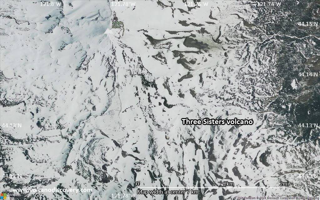
Satellite/aerial-type map of Three Sisters volcano (scale of 5-10 km)

Satellite/aerial-type map of Three Sisters volcano (scale of few kilometers)