


Ticsani Volcano
Updated: Jun 7, 2025 13:52 GMT -
lava domes
Peru, -16.76°S / -70.6°W 
Summit height: 5408 m / 17,743 ft
Current status: normal or dormant (1 out of 5)
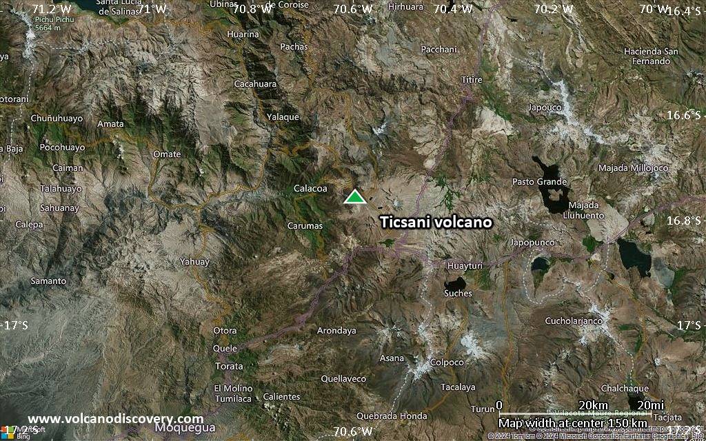
Ticsani is a complex of 3 dacitic lava domes in southern Peru in the Ichuna district across the Río Tambo about 30 km SE of Huaynaputina volcano.
The volcano has a youthful appearance and is not covered by glaciers.
There are no historical eruptions known from Ticsani, a pumice layer from the crater that contains the youngest lava dome overlies the ash from the 1600 AD Huaynaputina eruption and therefore must be younger. At present, there is fumarolic activity.
[smaller] [larger]
Ticsani volcano eruptions: younger than 1600 AD (= after the Huaynaputina eruption)
Latest nearby earthquakes
| Date and Time | Mag / Depth | Distance / Location | |||
|---|---|---|---|---|---|
Background
Both Ticsani and Huaynaputina volcanoes lie about 50 km behind the main volcanic arc of the Peruvian Andes.A young lava field is found at the NW base of the volcano. A major debris avalanche produced by tectonic collapse entered and partially filled the Río Tambor valley to the south.
Significant volcanic eruptions: Ticsani volcano
No historic eruptions are known from Ticsani volcano, but at least one eruption around 1800 can be inferred from geological evidence.
The table below lists all known eruptions (date in bold face) of Ticsani volcano in historic times and during the past 10,000 years. Updates on the most recent volcanic activity of Ticsani can be found on the news page of Ticsani volcano.
| Date | Note | VEI | Deaths | Damage | |
|---|---|---|---|---|---|
| ? | |||||
Remark:
Our list of volcanic eruptions closely follows the database of eruptions of the Smithsonian's Global Volcanism Project (GVP), the internationally most recognized data source for volcanic eruptions, but also includes significant eruptive episodes or related volcano events. "Volcanic eruptions" are usually to be understood as sequences of individual eruptive episodes that can follow each other, or even overlap (if several vents are involved), and can last many years, decades or even longer. For example, the current activity of Stromboli volcano is understood as a single eruption that has been ongoing since 1934.
Sources: NOAA National Centers for Environmental Information (NCEI), Global Significant Volcanic Eruptions Database. doi:10.7289/V5TD9V7K | Global Volcanism Project / Smithsonian Institution
Ticsani Volcano FAQ
+When was the last eruption of Ticsani volcano?
The last confirmed eruption of Ticsani occurred around 1800.
Latest satellite images
Ticsani Volcano Maps
Below is a selection of maps showing the location and surroundings of the volcano at various resolutions based on aerial-imagery / terrain maps. Feel free to use them for non-commercial purposes on your blog or website as long as you credit them with a link back to this page (click to copy it).
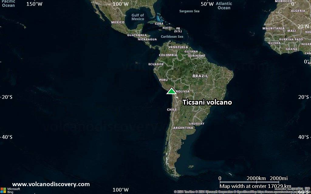
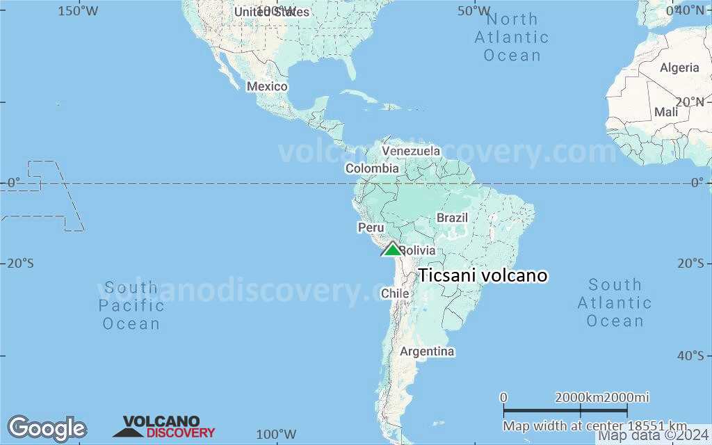
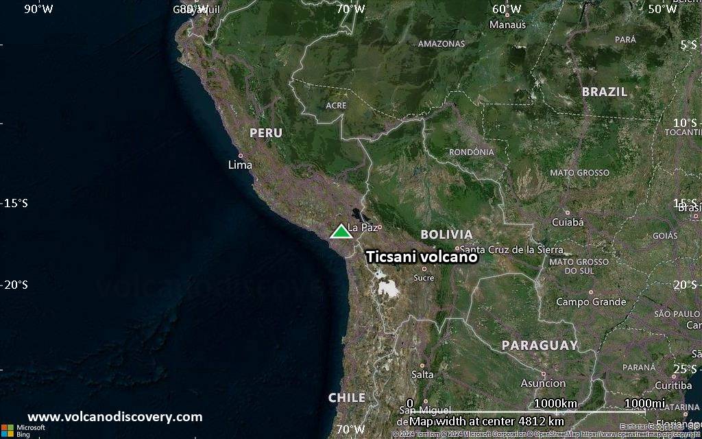
Satellite/aerial-type map of Ticsani volcano (world scale)
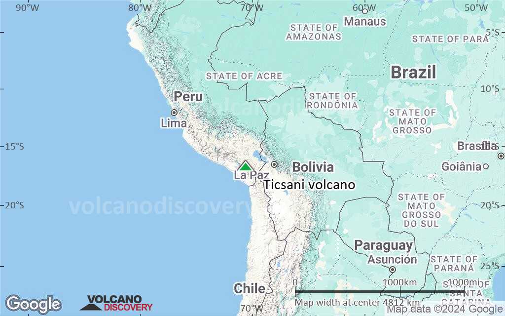
Terrain-type map of Ticsani volcano (world scale)
Satellite/aerial-type map of Ticsani volcano (region scale large)
Terrain-type map of Ticsani volcano (region scale large)

Satellite/aerial-type map of Ticsani volcano (region scale medium)

Terrain-type map of Ticsani volcano (region scale medium)

Satellite/aerial-type map of Ticsani volcano (region scale small)

Terrain-type map of Ticsani volcano (region scale small)

Satellite/aerial-type map of Ticsani volcano (local scale large)

Terrain-type map of Ticsani volcano (local scale large)

Satellite/aerial-type map of Ticsani volcano (local scale medium)

Terrain-type map of Ticsani volcano (local scale medium)
Satellite/aerial-type map of Ticsani volcano (local scale small)

Terrain-type map of Ticsani volcano (local scale small)

Satellite/aerial-type map of Ticsani volcano (scale of 10s of km)

Terrain-type map of Ticsani volcano (scale of 10s of km)

Satellite/aerial-type map of Ticsani volcano (scale of 20-40 km)

Terrain-type map of Ticsani volcano (scale of 20-40 km)

Satellite/aerial-type map of Ticsani volcano (scale of approx. 10-20 km)

Terrain-type map of Ticsani volcano (scale of approx. 10-20 km)

Satellite/aerial-type map of Ticsani volcano (scale of 5-10 km)

Satellite/aerial-type map of Ticsani volcano (scale of few kilometers)


