


Tigalalu Volcano
Updated: Nov 6, 2025 12:34 GMT -
stratovolcano
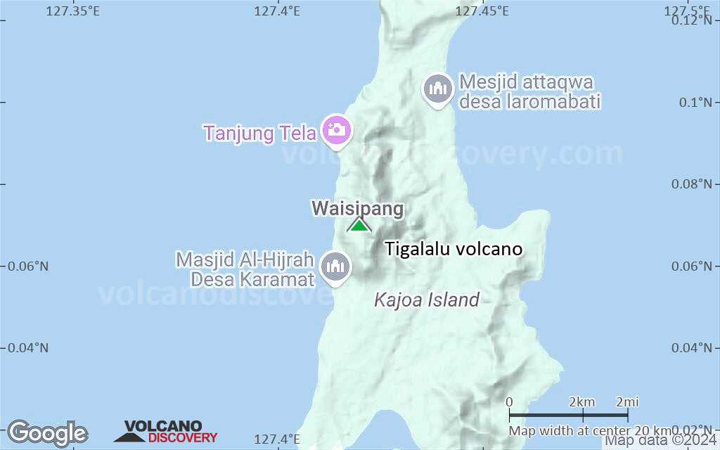
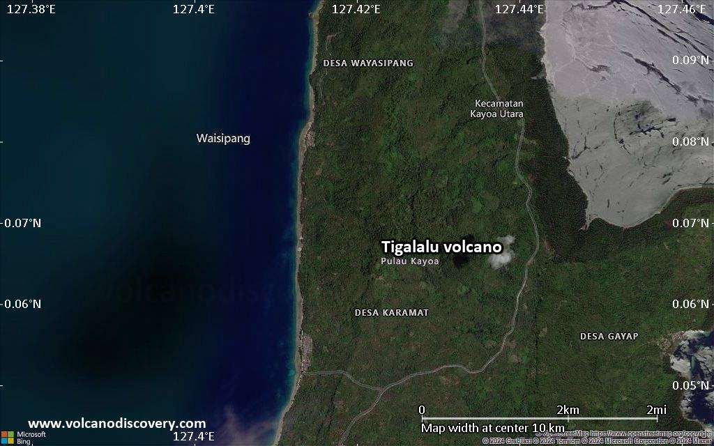
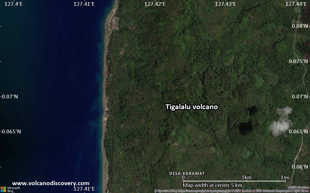
Halmahera (Indonesia), 0.07°N / 127.42°E 
Summit height: 422 m / 1,384 ft
Current status: normal or dormant (1 out of 5)
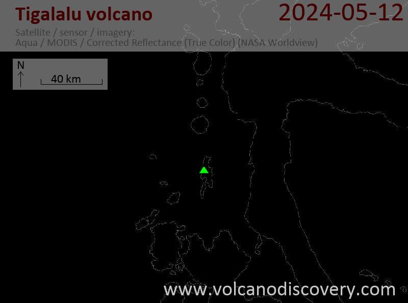
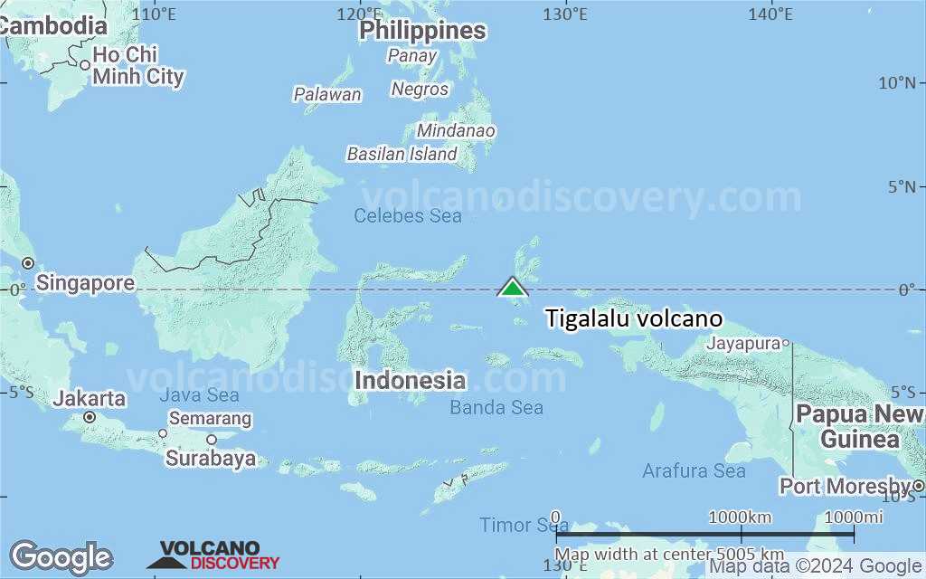
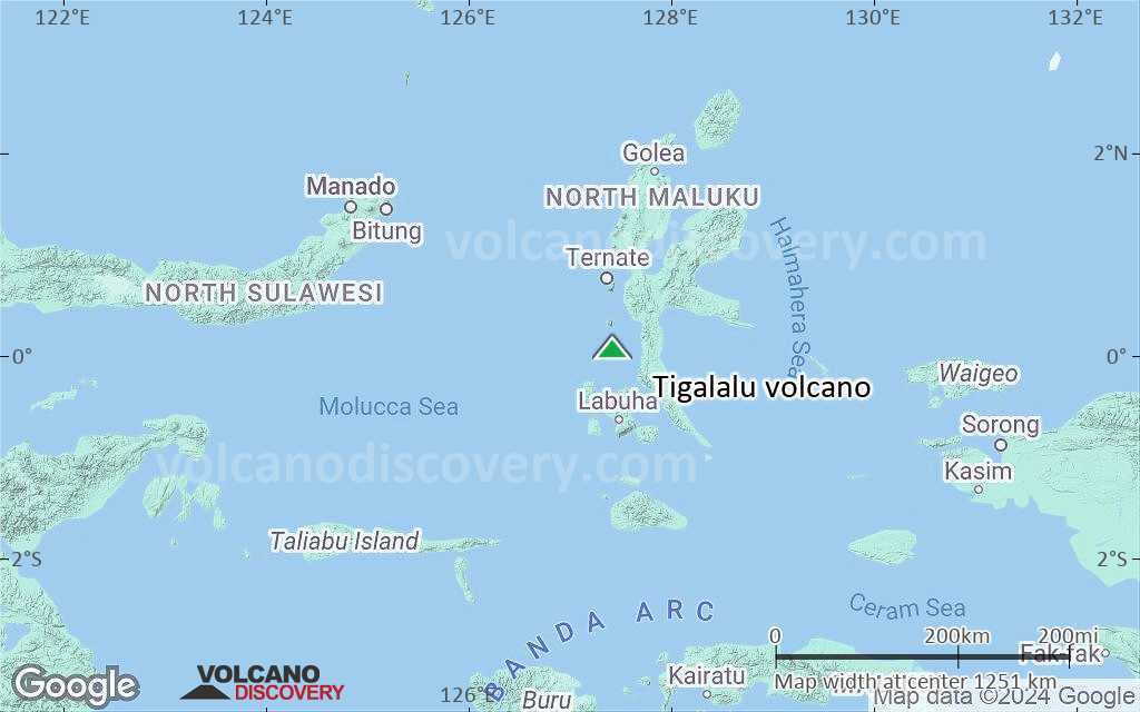
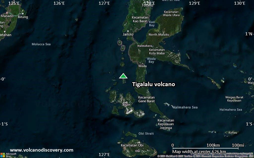
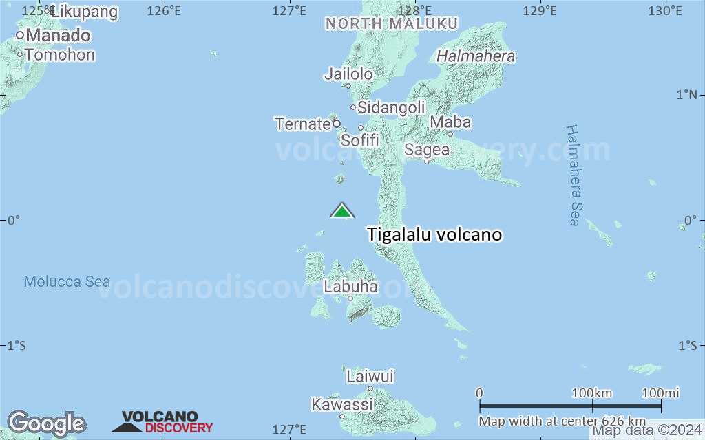
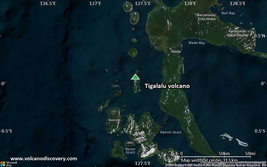
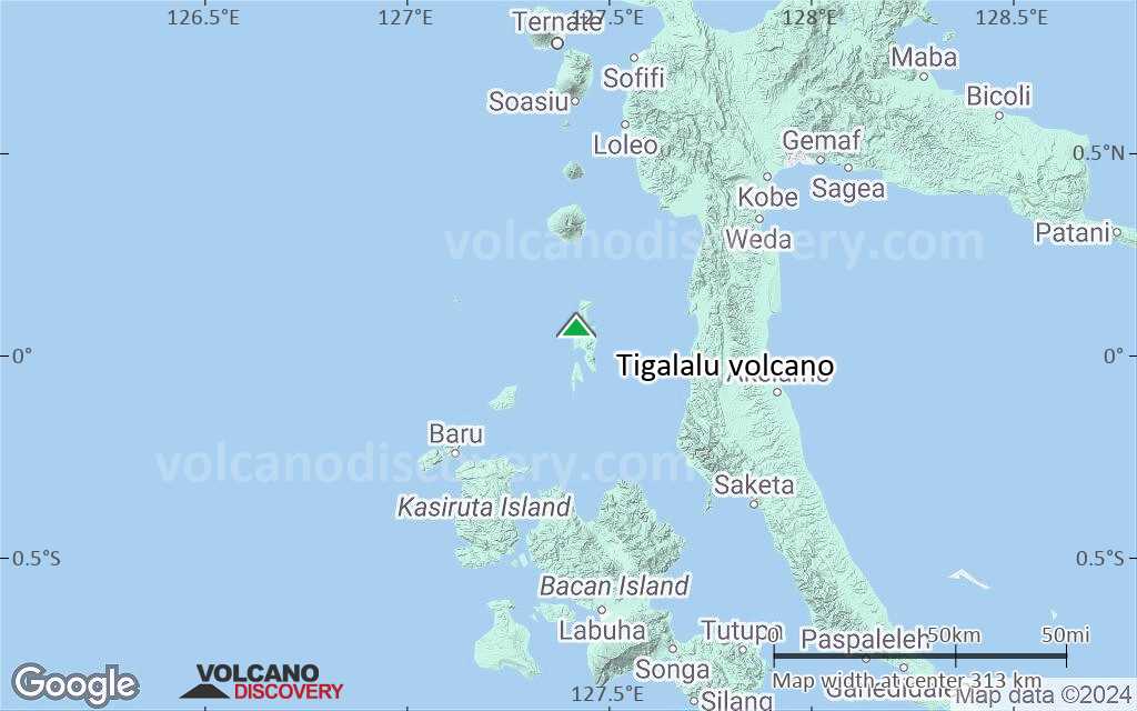
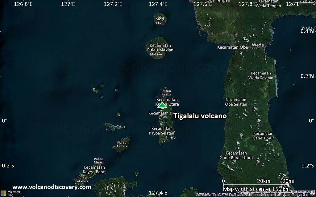
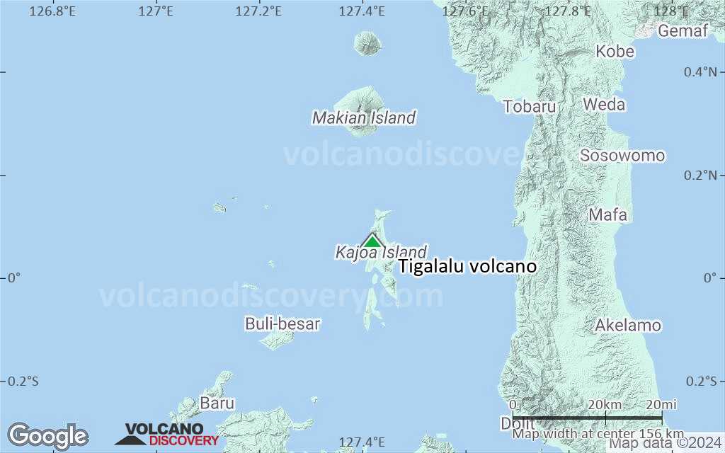
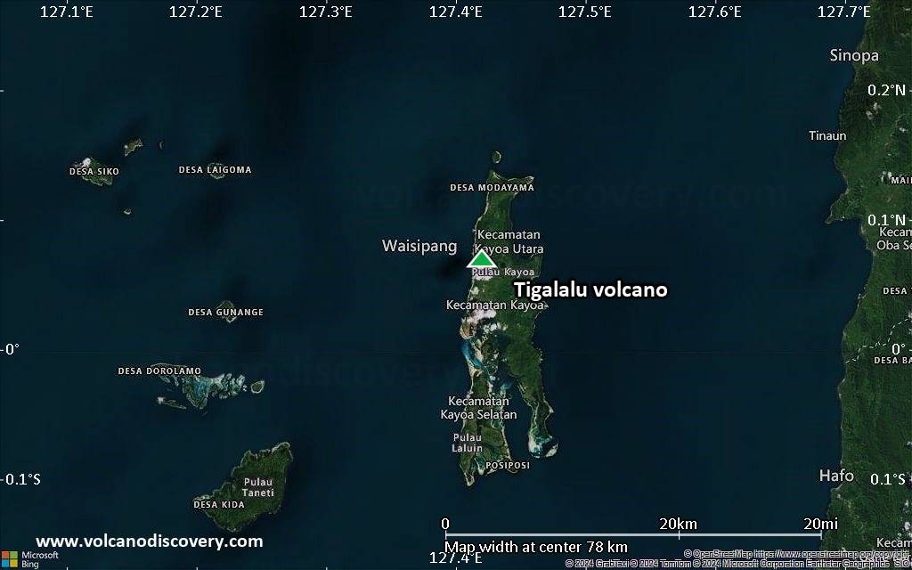
Gunung Tigalalu (Mount Tigalalu) at the northern end of Kayoa Island lies almost exactly on the equator and is the southernmost of the volcanic chain off the W coast of Halmahera. The volcano has not erupted in historic times.
[smaller] [larger]
Tigalalu volcano eruptions: none in historic times
Latest nearby earthquakes
| Date and Time | Mag / Depth | Distance / Location | |||
|---|---|---|---|---|---|
Latest satellite images

Tigalalu Volcano Maps
Below is a selection of maps showing the location and surroundings of the volcano at various resolutions based on aerial-imagery / terrain maps. Feel free to use them for non-commercial purposes on your blog or website as long as you credit them with a link back to this page (click to copy it).
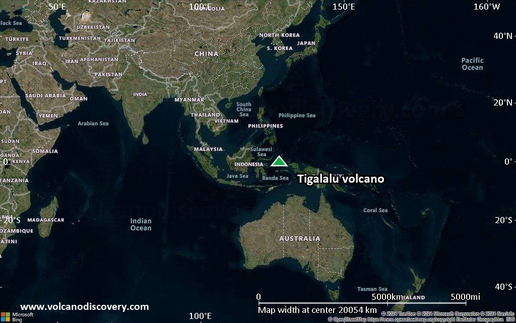
Satellite/aerial-type map of Tigalalu volcano (world scale)
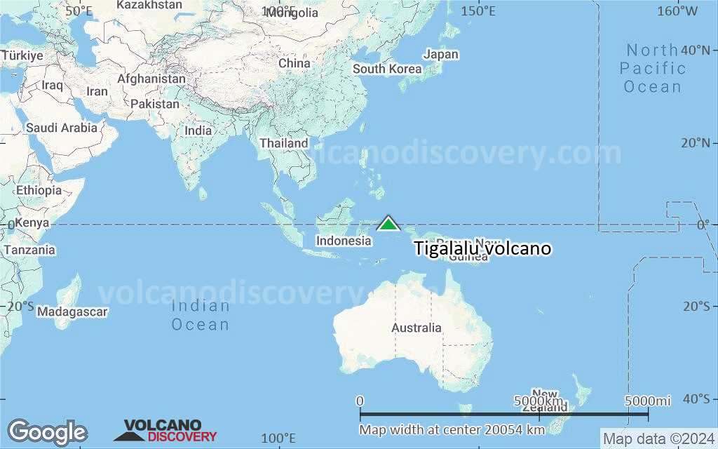
Terrain-type map of Tigalalu volcano (world scale)
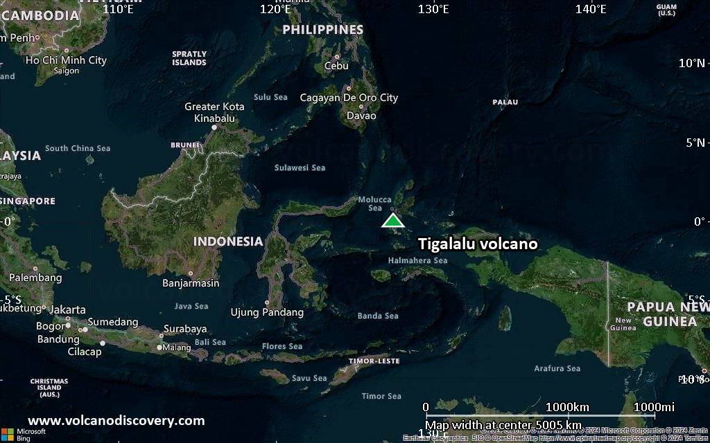
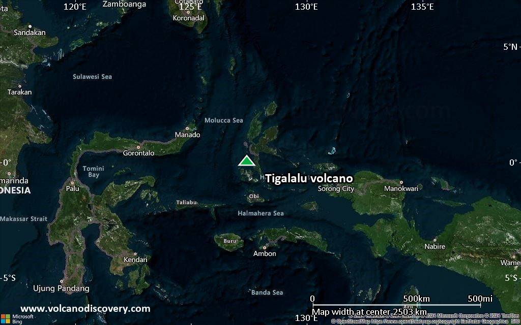
Satellite/aerial-type map of Tigalalu volcano (region scale large)
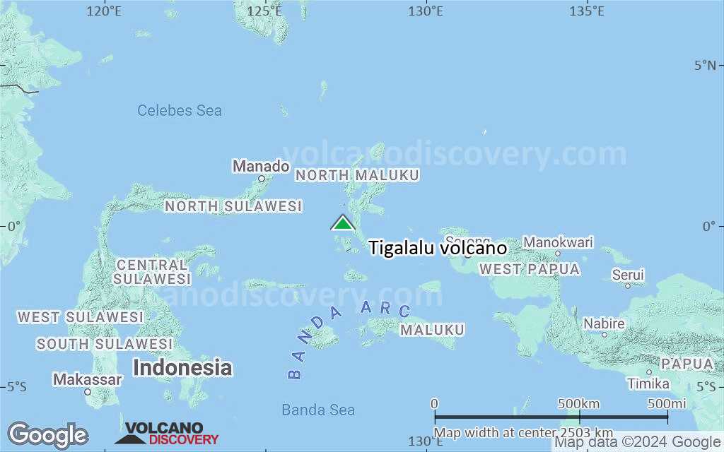
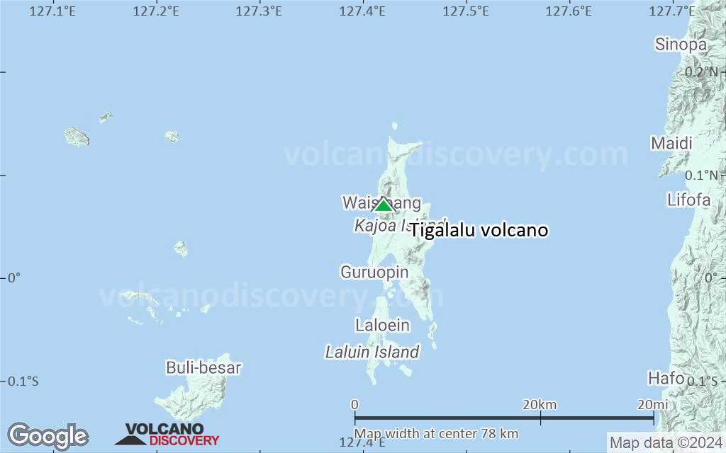
Terrain-type map of Tigalalu volcano (region scale large)
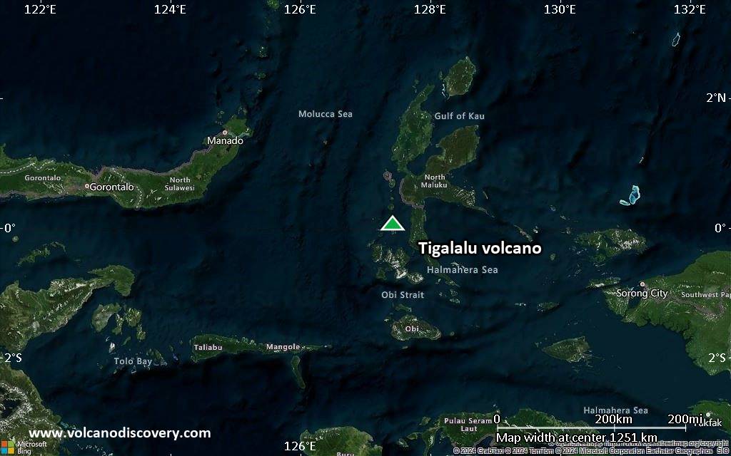
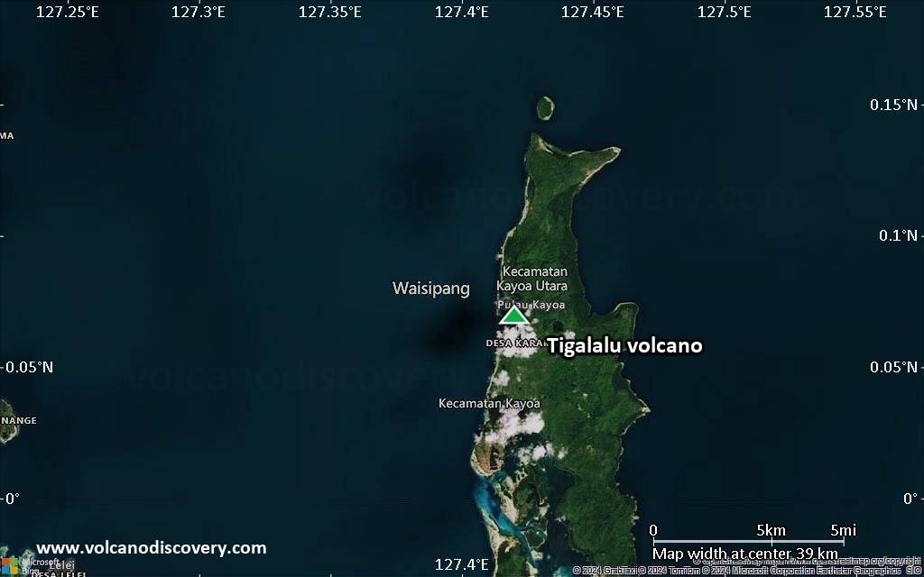
Satellite/aerial-type map of Tigalalu volcano (region scale medium)
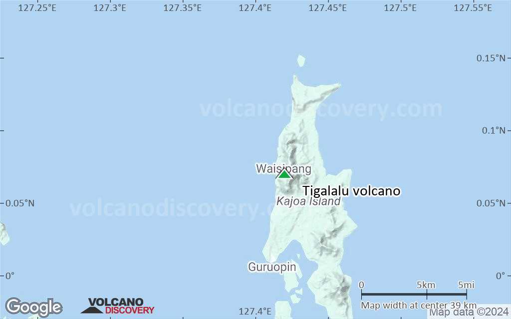
Terrain-type map of Tigalalu volcano (region scale medium)
Satellite/aerial-type map of Tigalalu volcano (region scale small)
Terrain-type map of Tigalalu volcano (region scale small)
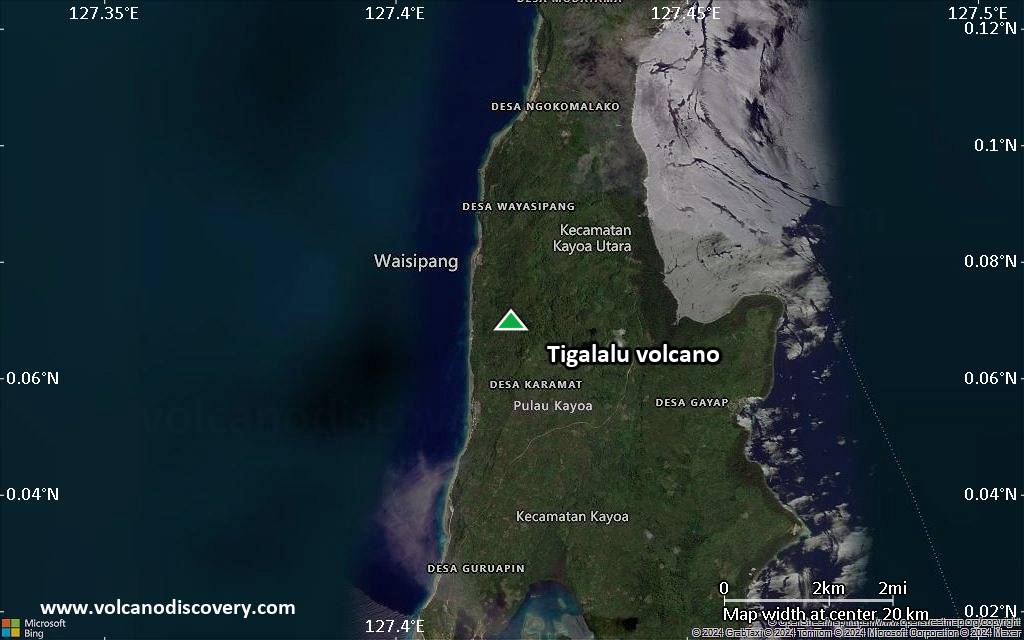
Satellite/aerial-type map of Tigalalu volcano (local scale large)
Terrain-type map of Tigalalu volcano (local scale large)
Satellite/aerial-type map of Tigalalu volcano (local scale medium)
Terrain-type map of Tigalalu volcano (local scale medium)
Satellite/aerial-type map of Tigalalu volcano (local scale small)
Terrain-type map of Tigalalu volcano (local scale small)
Satellite/aerial-type map of Tigalalu volcano (scale of 10s of km)
Terrain-type map of Tigalalu volcano (scale of 10s of km)
Satellite/aerial-type map of Tigalalu volcano (scale of 20-40 km)
Terrain-type map of Tigalalu volcano (scale of 20-40 km)
Satellite/aerial-type map of Tigalalu volcano (scale of approx. 10-20 km)
Terrain-type map of Tigalalu volcano (scale of approx. 10-20 km)
Satellite/aerial-type map of Tigalalu volcano (scale of 5-10 km)
Satellite/aerial-type map of Tigalalu volcano (scale of few kilometers)


