| RSS | EN | DE | EL | ES | FR | IT | RU

Ungaran Volcano

Updated: Aug 5, 2025 12:18 GMT -
Stratovolcano
Central Java (Indonesia), -7.18°S / 110.33°E
Summit height: 2050 m / 6,726 ft
Current status: (probably) extinct (0 out of 5)

Ungaran volcano is a probably extinct volcano south of Semarang city at the N coast of Java. Highly eroded, the mountain is the remnant of a stratovolcano that underwent repeated flank collapse. At present, there are only fumaroles and warm springs located on the volcano's flanks as signs of activity.

[smaller] [larger]
Typical eruption style: Explosive
Ungaran volcano eruptions:

Latest nearby earthquakes

Date and TimeMag / DepthDistance / Location
Aug 1, 01:01 pm (GMT +7)
2.6

22 km
29 km (18 mi) to the W 12 km south of Weleri, Kabupaten Kendal, Provinsi Jawa Tengah, Indonesia Info
Thursday, July 31, 2025 GMT (1 quake)
Jul 31, 05:56 pm (Jakarta)
3.6

10 km
25 km (16 mi) to the W Kabupaten Temanggung, 40 km southwest of Semarang, IndonesiaI FELT IT - 2 reportsInfo

Background

Gunung Ungaran volcano is located at the northern end of the same transverse chain of volcanoes comprising highly active Merapi in the south and less active Merbabu in the center.
Ungaran was formed in three stages. The youngest lava flows and cinder cones were erupted around 10,000 years ago and lie south of 3 large remnant structural blocks attributed to an older edifice of the Ungaran volcano.

Latest satellite images

Ungaran satellite image sat1Ungaran satellite image sat2

Ungaran Volcano Maps

Below is a selection of maps showing the location and surroundings of the volcano at various resolutions based on aerial-imagery / terrain maps. Feel free to use them for non-commercial purposes on your blog or website as long as you credit them with a link back to this page (click to copy it).
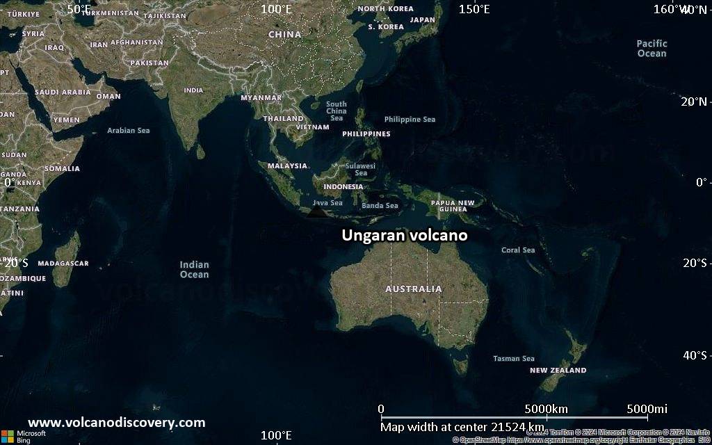
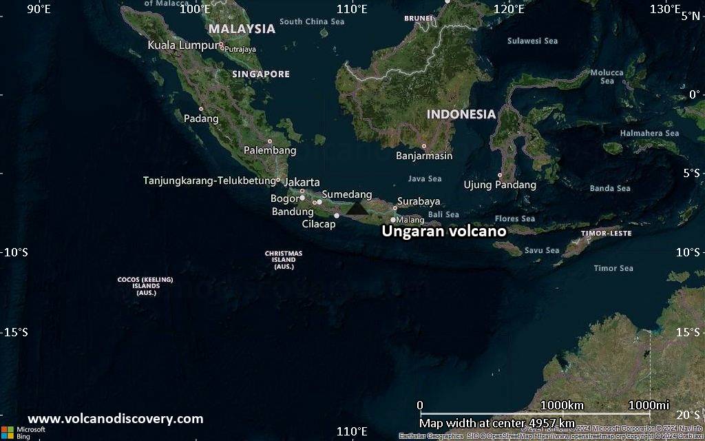
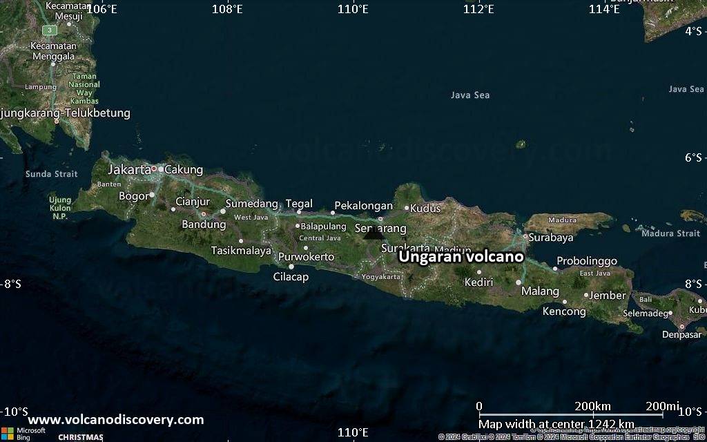
Satellite/aerial-type map of Ungaran volcano (world scale)
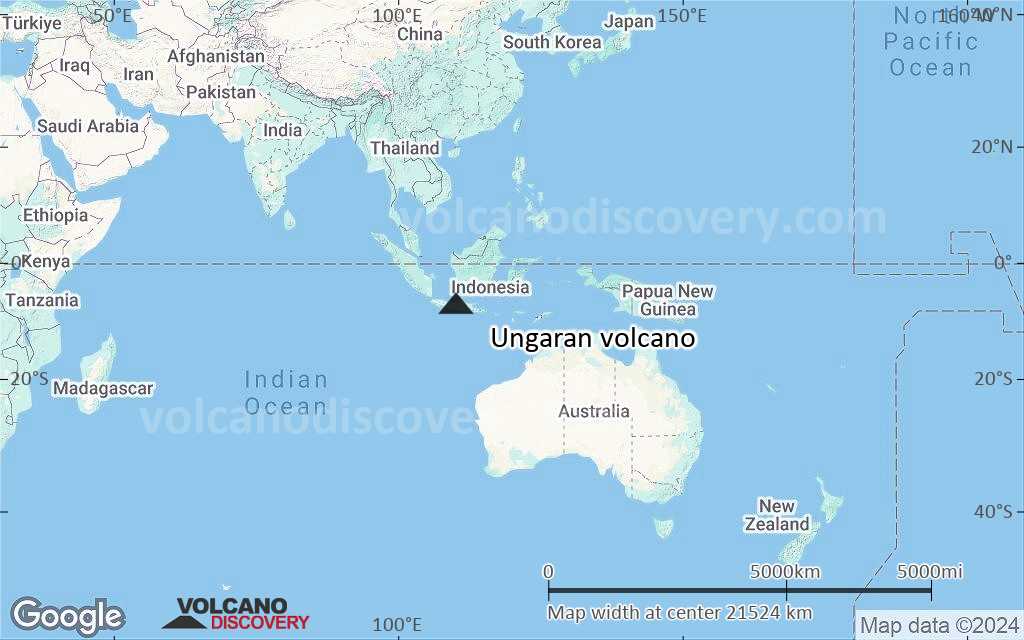
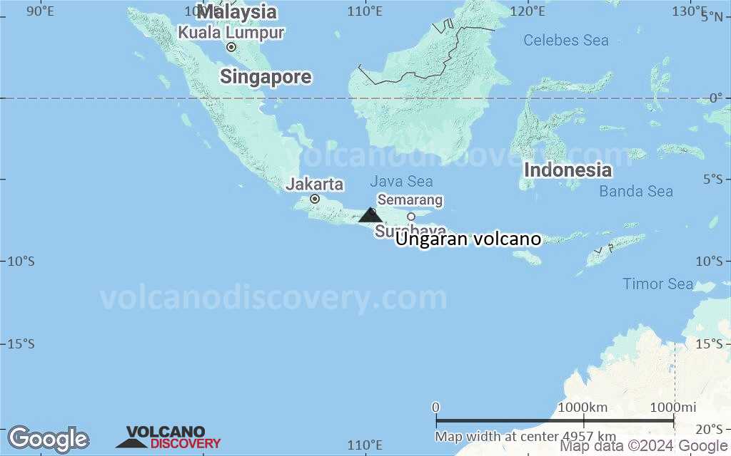
Terrain-type map of Ungaran volcano (world scale)
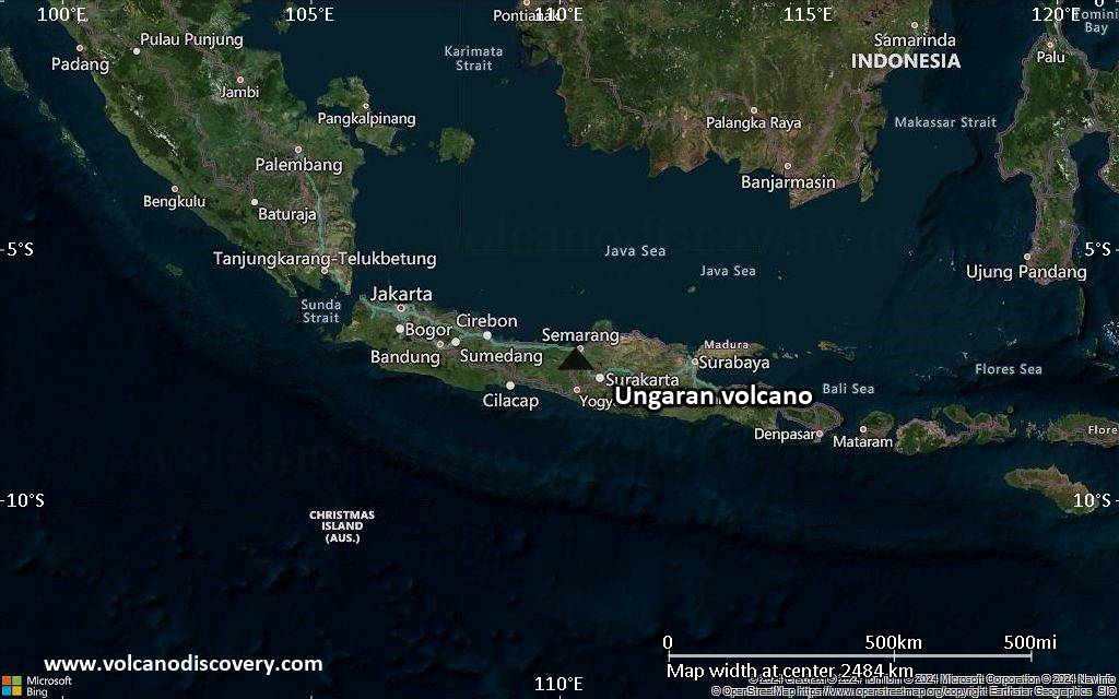
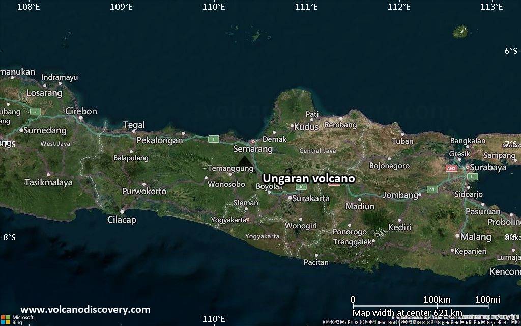
Satellite/aerial-type map of Ungaran volcano (region scale large)
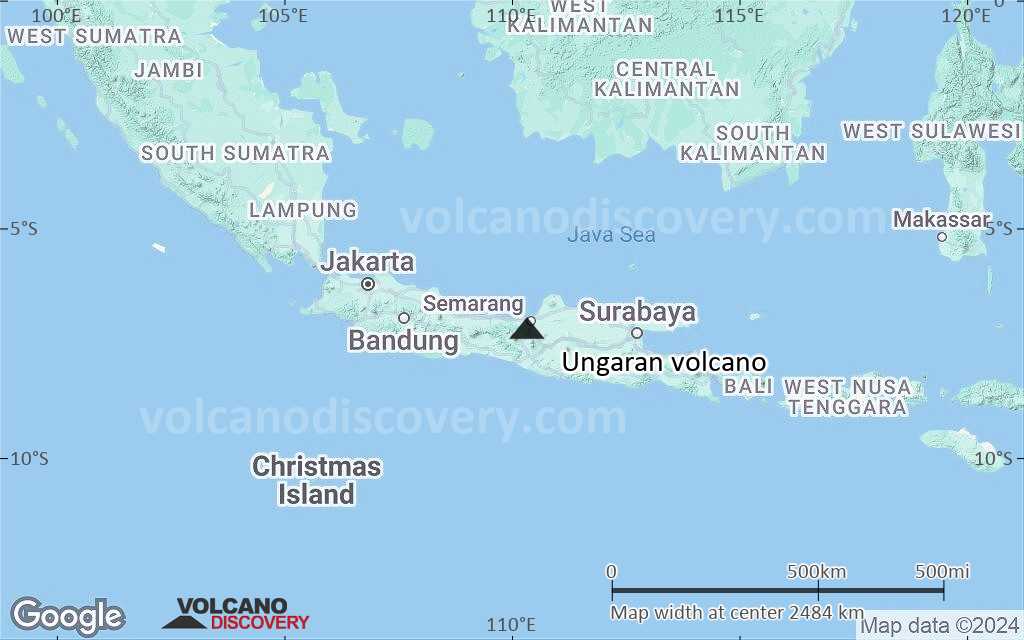
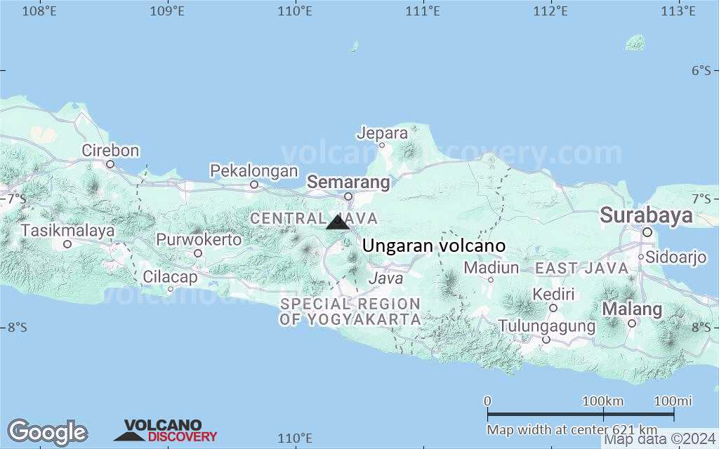
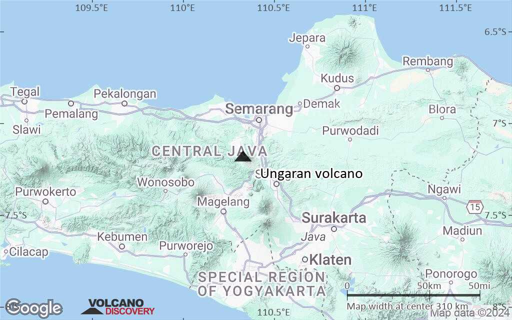
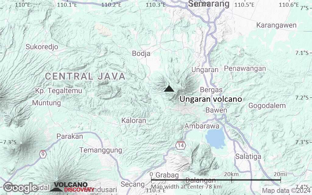
Terrain-type map of Ungaran volcano (region scale large)
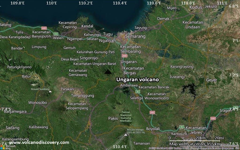
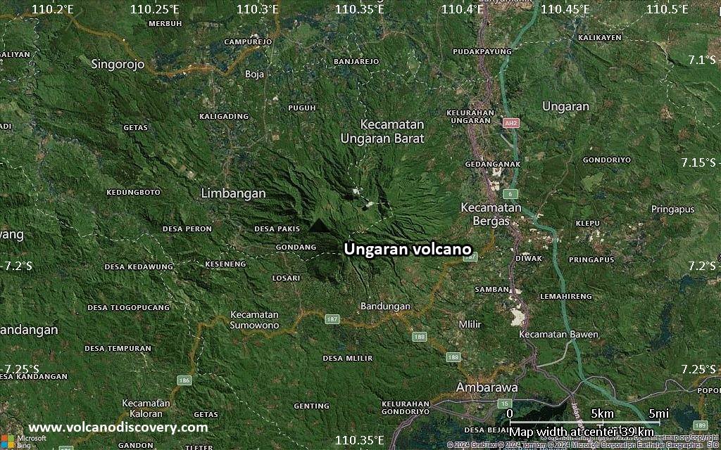
Satellite/aerial-type map of Ungaran volcano (region scale medium)
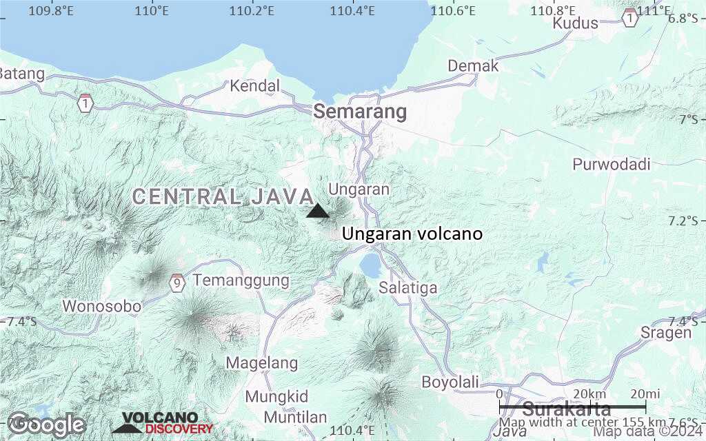
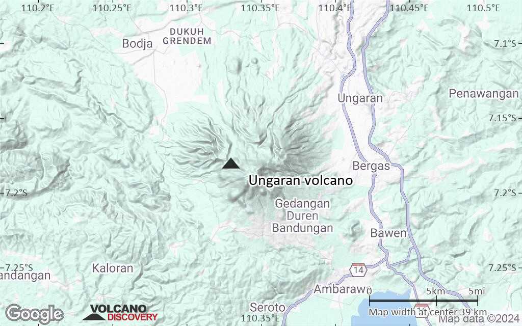
Terrain-type map of Ungaran volcano (region scale medium)
Satellite/aerial-type map of Ungaran volcano (region scale small)
Terrain-type map of Ungaran volcano (region scale small)
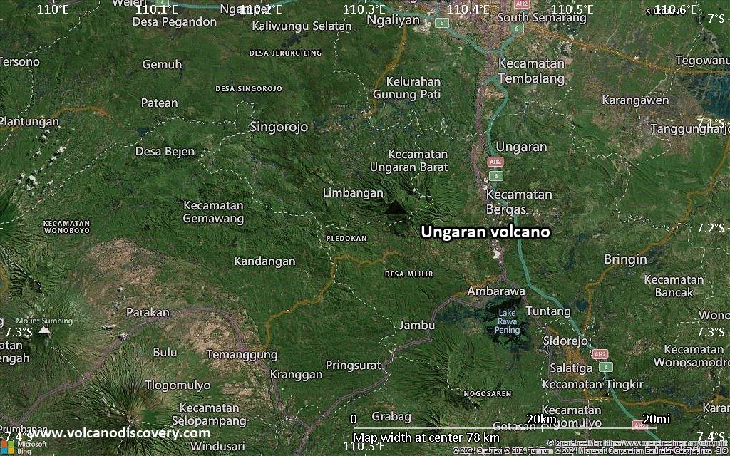
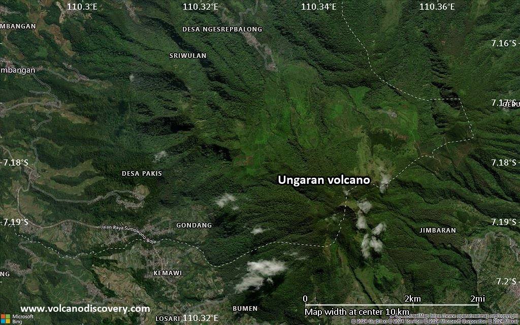
Satellite/aerial-type map of Ungaran volcano (local scale large)
Terrain-type map of Ungaran volcano (local scale large)
Satellite/aerial-type map of Ungaran volcano (local scale medium)
Terrain-type map of Ungaran volcano (local scale medium)
Satellite/aerial-type map of Ungaran volcano (local scale small)
Terrain-type map of Ungaran volcano (local scale small)
Satellite/aerial-type map of Ungaran volcano (scale of 10s of km)
Terrain-type map of Ungaran volcano (scale of 10s of km)
Satellite/aerial-type map of Ungaran volcano (scale of 20-40 km)
Terrain-type map of Ungaran volcano (scale of 20-40 km)
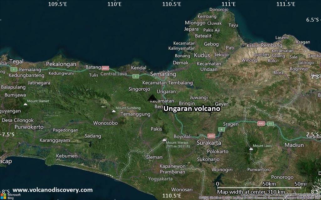
Satellite/aerial-type map of Ungaran volcano (scale of approx. 10-20 km)
Terrain-type map of Ungaran volcano (scale of approx. 10-20 km)
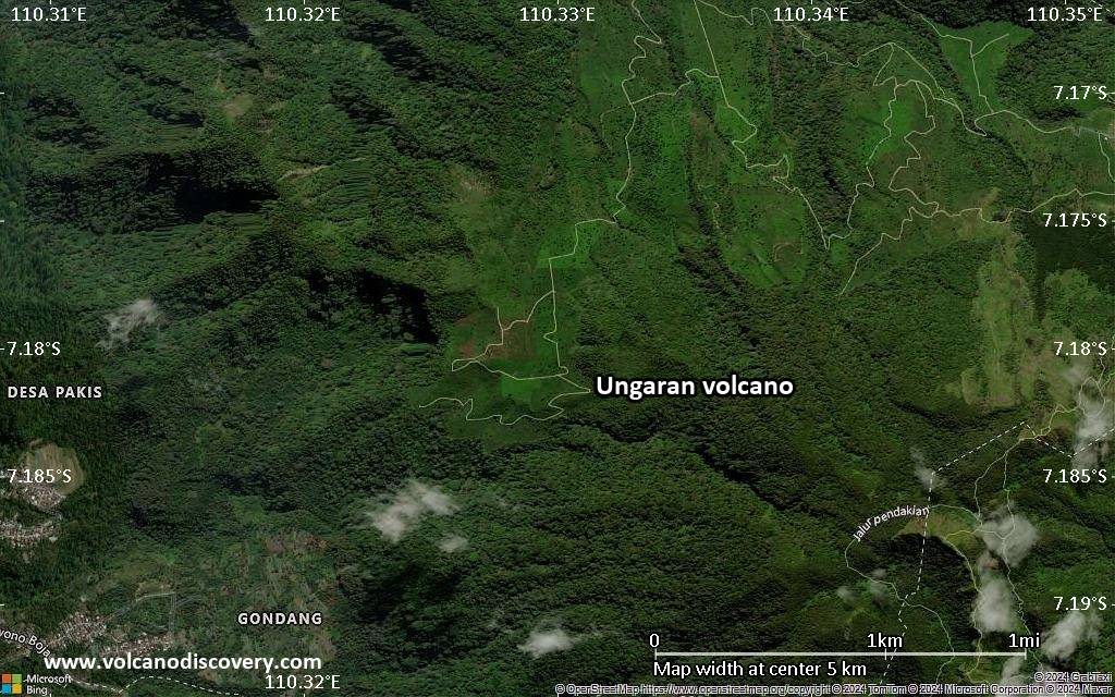
Satellite/aerial-type map of Ungaran volcano (scale of 5-10 km)
Satellite/aerial-type map of Ungaran volcano (scale of few kilometers)
Volcanoes & Earthquakes - new app for Android
Guaranteed tours
1-14 Oct 2025: Desert, salt and volcanoes - Danakil desert (Ethiopia)
4-12 Oct 2025: From Stromboli to Etna - Sicily and Eolian Islands (Italy)
6-21 Oct 2025: From Krakatau to Bali - Java (Indonesia)
3-19 Nov 2025: Volcanoes and Spices - Sulawesi/Halmahera (Indonesia)
9-19 Nov 2025: Guatemala Volcano Special - Guatemala
= spaces available   = guaranteed   = few spaces left   = booked out

No news in this list.

On this page:

Try our free app!
Volcanoes & Earthquakes - new app for Android
Android | iOS version

More on VolcanoDiscovery

Why is there advertising on this site?

Support us - Help us upgrade our services!

We truly love working to bring you the latest volcano and earthquake data from around the world. Maintaining our website and our free apps does require, however, considerable time and resources.
We need financing to increase hard- and software capacity as well as support our editor team. We're aiming to achieve uninterrupted service wherever an earthquake or volcano eruption unfolds, and your donations can make it happen! Every donation will be highly appreciated. If you find the information useful and would like to support our team in integrating further features, write great content, and in upgrading our soft- and hardware, please make a donation (PayPal).

Planned features:Thanks to your past donations, these features have been added recently:
Download and Upgrade the Volcanoes & Earthquakes app to get one of the fastest seismic and volcano alerts online:
Android | IOS
Thank you!
Sources: VolcanoDiscovery / VolcanoAdventures and other sources as noted.
Use of material: Most text and images on our websites are owned by us. Re-use is generally not permitted without authorization. Contact us for licensing rights.
Volcanoes & Earthquakes
VolcanoDiscovery Home
Volcanoes | Earthquakes | Photos | Volcano News | | Shop | App
Adventure & Study Travel
Tours to Volcanoes and Volcanic Areas: walking tours, photo tours, study tours
Tours & Dates | FAQ | About us
Get our newsletter!
Company info
Contact | Legal info | Terms & conditions
Follow us
Follow us on facebook Follow us on Instagram Follow us on Bluesky Follow us on Twitter Visit our Youtube channel
EN | DE | EL | ES | FR | IT | RU
VolcanoDiscovery GmbH, Germany, Reg. nr.: HRB 103744, EU Tax Id: DE 297 465 123 owned and created by
Dr. Tom Pfeiffer, volcanologist, volcano photographer, tour organizer member of
IAVCEI
IAVCEI
Vulkanologische Gesellschaft
Volcanological Society
Ecotourism Greece
Ecotourism Greece
RUV insurance
Insured by R+V
VolcanoDiscovery © 2004- All Rights Reserved | Privacy - Cookie Settings