Zavaritsky Volcano
Updated: Dec 13, 2024 08:05 GMT -
Cinder cones 1567 m / 5,141 ft
Kamchatka, Russia, 53.91°N / 158.39°E
Current status: normal or dormant (1 out of 5)
Kamchatka, Russia, 53.91°N / 158.39°E
Current status: normal or dormant (1 out of 5)
[smaller] [larger]
Zavaritsky volcano eruptions: 800 BC ± 500 years
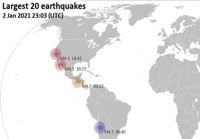
Latest nearby earthquakes
Background
Zavaritsky volcano consists of a complex of six NW-SE-trending cinder cones and an explosion crater located near the headwaters of the Levaya Avacha River west of the Eastern volcanic zone of Kamchatka. The highest cone, 1567-m-high Mount Peschanaya, lies near the southern end of the cone group. The six cones of Zavaritsky were formed during an eruption about 2800 years ago during which associated lava flows blocked the Levaya Avacha and Ozernaya rivers, forming Lake Vulkanischeskoe along the Ozernaya drainage. Other monogenetic cinder cones are located NW and NE of Zavaritsky volcano. Berezovy cinder cone to the NW erupted about 11,000 to 10,000 radiocarbon years ago. An unnamed cone near the crest of a range dividing the Srednaya Avacha and Kavicha river drainages about 14 km WNW of Zavaritsky volcano erupted about 3000-2500 years ago. The cone is slightly closer to Bakening volcano, but the chemistry of its products are related to those of Zavaritsky.---
Smithsonian / GVP volcano information
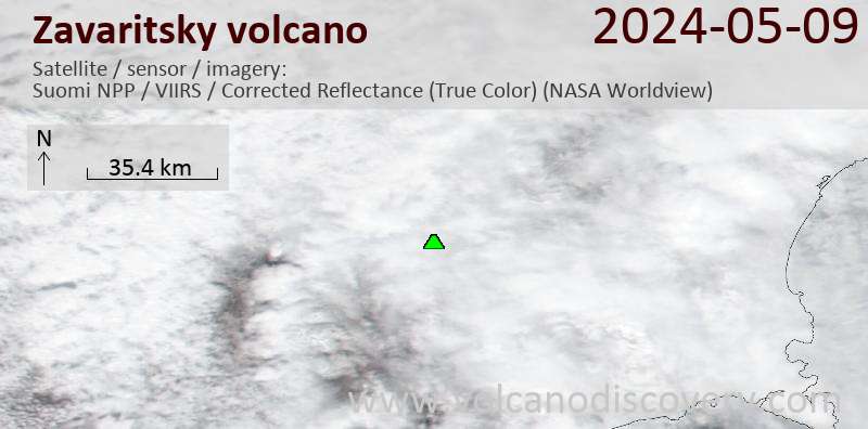
Latest satellite images
Zavaritsky Volcano Maps
Below is a selection of maps showing the location and surroundings of the volcano at various resolutions based on aerial-imagery / terrain maps. Feel free to use them for non-commercial purposes on your blog or website as long as you credit them with a link back to this page (click to copy it).
Satellite/aerial-type map of Zavaritsky volcano (world scale)
Terrain-type map of Zavaritsky volcano (world scale)
Satellite/aerial-type map of Zavaritsky volcano (region scale large)
Terrain-type map of Zavaritsky volcano (region scale large)
Satellite/aerial-type map of Zavaritsky volcano (region scale medium)
Terrain-type map of Zavaritsky volcano (region scale medium)
Satellite/aerial-type map of Zavaritsky volcano (region scale small)
Terrain-type map of Zavaritsky volcano (region scale small)
Satellite/aerial-type map of Zavaritsky volcano (local scale large)
Terrain-type map of Zavaritsky volcano (local scale large)
Satellite/aerial-type map of Zavaritsky volcano (local scale medium)
Terrain-type map of Zavaritsky volcano (local scale medium)
Satellite/aerial-type map of Zavaritsky volcano (local scale small)
Terrain-type map of Zavaritsky volcano (local scale small)
Satellite/aerial-type map of Zavaritsky volcano (scale of 10s of km)
Terrain-type map of Zavaritsky volcano (scale of 10s of km)
Satellite/aerial-type map of Zavaritsky volcano (scale of 20-40 km)
Terrain-type map of Zavaritsky volcano (scale of 20-40 km)
Satellite/aerial-type map of Zavaritsky volcano (scale of approx. 10-20 km)
Terrain-type map of Zavaritsky volcano (scale of approx. 10-20 km)
Satellite/aerial-type map of Zavaritsky volcano (scale of 5-10 km)
Satellite/aerial-type map of Zavaritsky volcano (scale of few kilometers)