Asie Volcano
Updated: May 29, 2025 11:34 GMT -
Shield
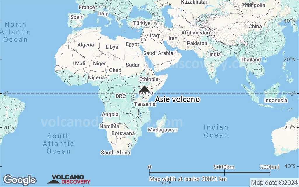
Kenya, 2.96°N / 37.1°E 
Summit height: 1056 m / 3465 ft
Current status: (probably) extinct (0 out of 5)
[smaller] [larger]
Asie volcano eruptions: None during the past 10,000 years
Less than 2.58 million years ago (Pleistocene)
Latest nearby earthquakes
| Date and Time | Mag / Depth | Distance / Location | |||
|---|---|---|---|---|---|
Background
The Hawaiian-type Asie shield volcano is the youngest and NE-most of a group of en echelon shields east of Lake Turkana. Asie was constructed during the Pliocene and Pleistocene; late-stage activity formed a series of cones and maars, with the last eruptions occurring about 0.42 million years ago on the NW flank. (Charsley 1987a).---
Smithsonian / GVP volcano information
Asie Volcano Photos
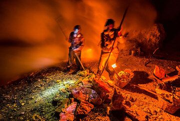
Preparing the sulfur blocks for the transport out of the crater is easier done in two. (Photo: Tom Pfeiffer)
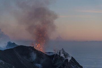
Another small eruption at sunset - the lava now becomes easier to spot. (Photo: Tom Pfeiffer)
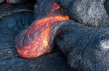
Smaller lava toes are easier to find and photograph. (Photo: Tom Pfeiffer)
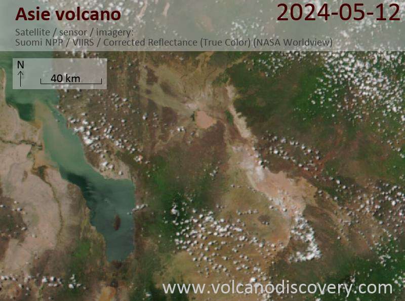
Latest satellite images
Asie Volcano Maps
Below is a selection of maps showing the location and surroundings of the volcano at various resolutions based on aerial-imagery / terrain maps. Feel free to use them for non-commercial purposes on your blog or website as long as you credit them with a link back to this page (click to copy it).

Satellite/aerial-type map of Asie volcano (world scale)
Terrain-type map of Asie volcano (world scale)

Satellite/aerial-type map of Asie volcano (region scale large)

Terrain-type map of Asie volcano (region scale large)

Satellite/aerial-type map of Asie volcano (region scale medium)

Terrain-type map of Asie volcano (region scale medium)

Satellite/aerial-type map of Asie volcano (region scale small)

Terrain-type map of Asie volcano (region scale small)

Satellite/aerial-type map of Asie volcano (local scale large)

Terrain-type map of Asie volcano (local scale large)

Satellite/aerial-type map of Asie volcano (local scale medium)

Terrain-type map of Asie volcano (local scale medium)

Satellite/aerial-type map of Asie volcano (local scale small)

Terrain-type map of Asie volcano (local scale small)

Satellite/aerial-type map of Asie volcano (scale of 10s of km)

Terrain-type map of Asie volcano (scale of 10s of km)

Satellite/aerial-type map of Asie volcano (scale of 20-40 km)

Terrain-type map of Asie volcano (scale of 20-40 km)

Satellite/aerial-type map of Asie volcano (scale of approx. 10-20 km)

Terrain-type map of Asie volcano (scale of approx. 10-20 km)

Satellite/aerial-type map of Asie volcano (scale of 5-10 km)

Satellite/aerial-type map of Asie volcano (scale of few kilometers)