


Azufral Volcano
Updated: May 25, 2025 13:18 GMT -
stratovolcano
Colombia, 1.08°N / -77.68°W 
Summit height: 4070 m / 13,353 ft
Current status: normal or dormant (1 out of 5)
Azufral volcano (Azufral de Túquerres) is a stratovolcano in southern Colombia with a 2.5x3 km wide caldera 35 km SW of Galeras volcano. The last eruption took place about 1000 years ago.
[smaller] [larger]
Azufral volcano eruptions: 930 BC (?), 1650 BC ± 150, 1850 BC (?), 2095 BC ± 100
Latest nearby earthquakes
| Date and Time | Mag / Depth | Distance / Location | |||
|---|---|---|---|---|---|
Background
Azufral's caldera contains a complex of several Holocene rhyodacitic lava-domes.The crescent-shaped Laguna Verde lake occupies the NW side of the caldera. Laguna Verde is an acid lake (pH 2.4)) with hot springs on the NE shore of the lake (temperatures of 54°C, pH of 2.6, measured in 1990).
The latest lava dome in the caldera was formed about 3600 years ago and still has active fumaroles.
Azufral volcano's lavas contain more silica than the nearby volcanoes and rhyolitic-dacitic tephra deposits from explosive activity mantle the volcano.
Significant volcanic eruptions: Azufral volcano
No historic eruptions are known from Azufral volcano, but evidence from at least 4 eruptions during the past 10,000 years can be found in the geological record.
The table below lists all known eruptions (date in bold face) of Azufral volcano in historic times and during the past 10,000 years. Updates on the most recent volcanic activity of Azufral can be found on the news page of Azufral volcano.
| Date | Note | VEI | Deaths | Damage | |
|---|---|---|---|---|---|
| 4P | |||||
| ? | |||||
| ? | |||||
| ? | |||||
Remark:
Our list of volcanic eruptions closely follows the database of eruptions of the Smithsonian's Global Volcanism Project (GVP), the internationally most recognized data source for volcanic eruptions, but also includes significant eruptive episodes or related volcano events. "Volcanic eruptions" are usually to be understood as sequences of individual eruptive episodes that can follow each other, or even overlap (if several vents are involved), and can last many years, decades or even longer. For example, the current activity of Stromboli volcano is understood as a single eruption that has been ongoing since 1934.
Sources: NOAA National Centers for Environmental Information (NCEI), Global Significant Volcanic Eruptions Database. doi:10.7289/V5TD9V7K | Global Volcanism Project / Smithsonian Institution
Eruptions of Azufral volcano
1971 seismic swarm
Between 26 April and 7 May 1971, a swarm with more than 60 earthquakes under the volcano were felt by residents of Santander village. Some of the quakes were even detected by seismographs at Pasto seismic station 215 km from the volcano (Galeras volcano observatory).
Between 26 April and 7 May 1971, a swarm with more than 60 earthquakes under the volcano were felt by residents of Santander village. Some of the quakes were even detected by seismographs at Pasto seismic station 215 km from the volcano (Galeras volcano observatory).
Azufral Volcano FAQ
+When was the last eruption of Azufral volcano?
The last confirmed eruption of Azufral occurred in 930 BC.
+When was the largest eruption of Azufral volcano?
The largest eruption known from the younger geological history of Azufral volcano occurred in 930 BC. It only has a VEI (Volcanic Explosivity Index) of , likely because it was a mainly effusive eruption generating lava flows but very little ash.
Latest satellite images

Azufral Volcano Maps
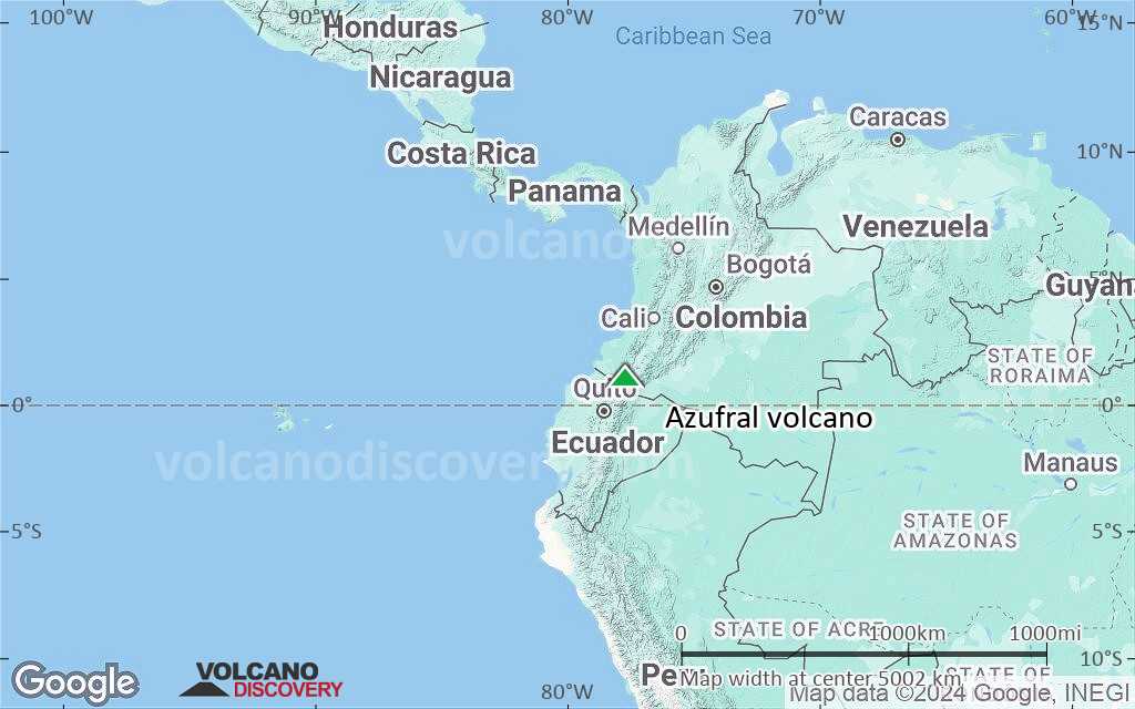
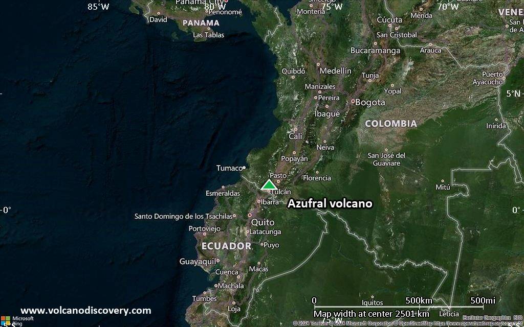
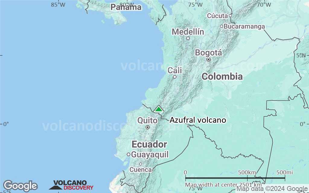
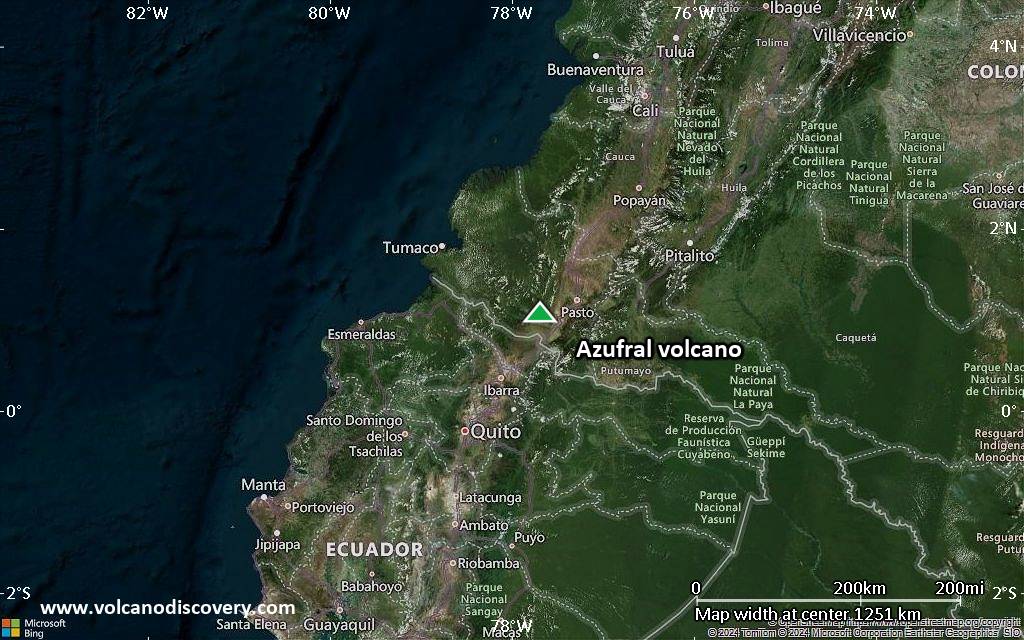
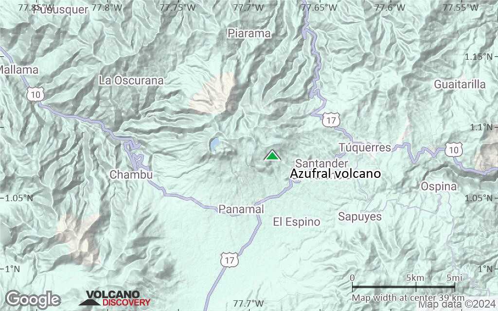
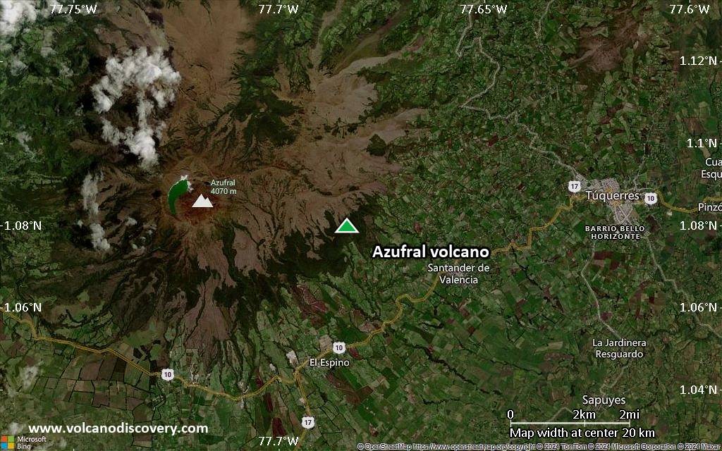
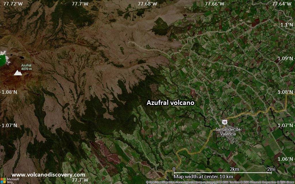
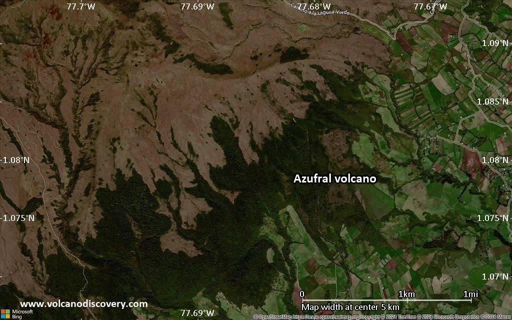
Below is a selection of maps showing the location and surroundings of the volcano at various resolutions based on aerial-imagery / terrain maps. Feel free to use them for non-commercial purposes on your blog or website as long as you credit them with a link back to this page (click to copy it).
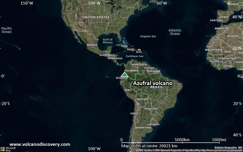
Satellite/aerial-type map of Azufral volcano (world scale)
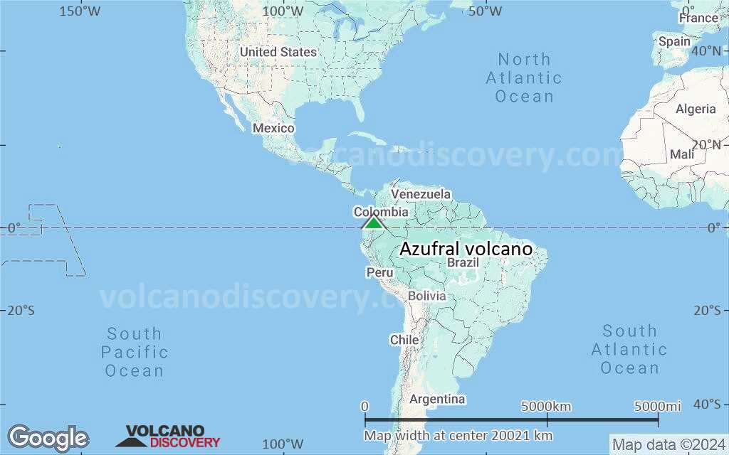
Terrain-type map of Azufral volcano (world scale)
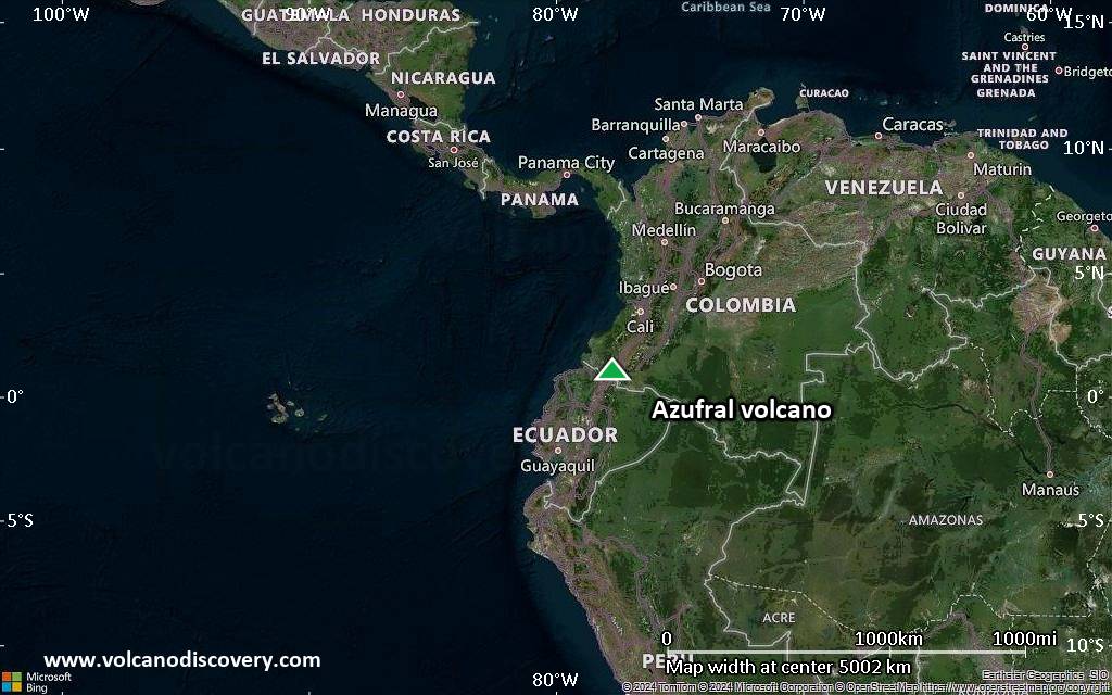
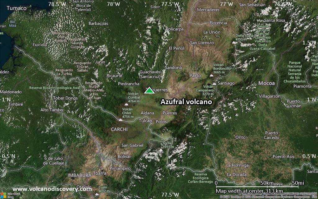
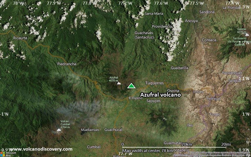
Satellite/aerial-type map of Azufral volcano (region scale large)
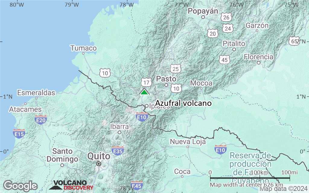
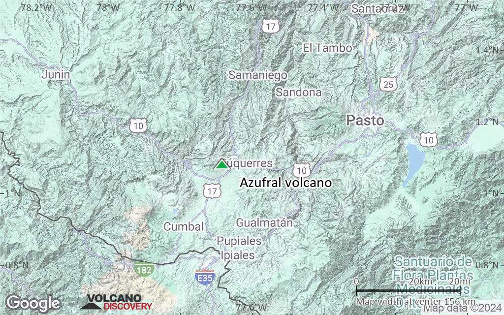
Terrain-type map of Azufral volcano (region scale large)
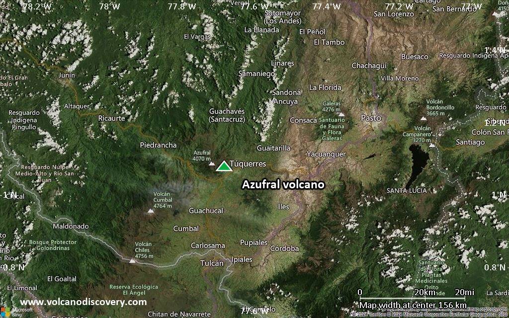
Satellite/aerial-type map of Azufral volcano (region scale medium)
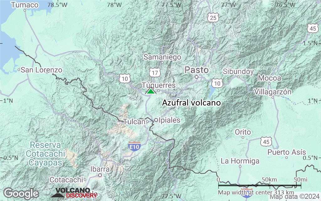
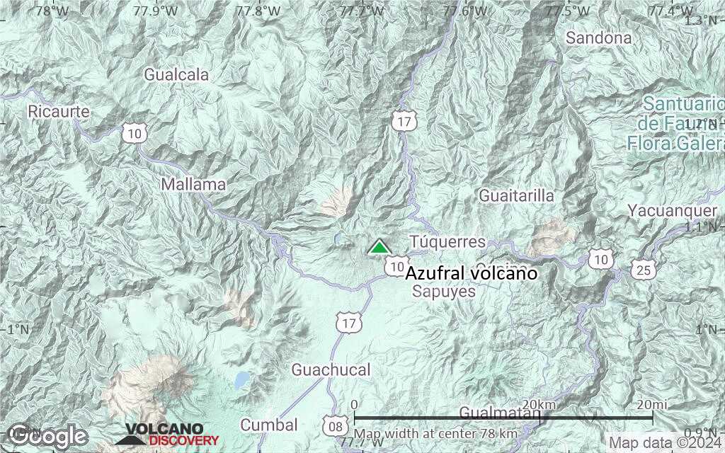
Terrain-type map of Azufral volcano (region scale medium)
Satellite/aerial-type map of Azufral volcano (region scale small)

Terrain-type map of Azufral volcano (region scale small)

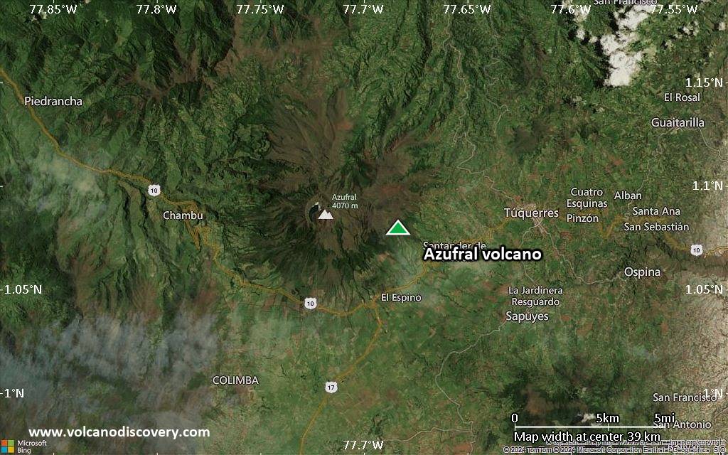
Satellite/aerial-type map of Azufral volcano (local scale large)
Terrain-type map of Azufral volcano (local scale large)
Satellite/aerial-type map of Azufral volcano (local scale medium)
Terrain-type map of Azufral volcano (local scale medium)
Satellite/aerial-type map of Azufral volcano (local scale small)
Terrain-type map of Azufral volcano (local scale small)
Satellite/aerial-type map of Azufral volcano (scale of 10s of km)
Terrain-type map of Azufral volcano (scale of 10s of km)
Satellite/aerial-type map of Azufral volcano (scale of 20-40 km)
Terrain-type map of Azufral volcano (scale of 20-40 km)
Satellite/aerial-type map of Azufral volcano (scale of approx. 10-20 km)

Terrain-type map of Azufral volcano (scale of approx. 10-20 km)
Satellite/aerial-type map of Azufral volcano (scale of 5-10 km)
Satellite/aerial-type map of Azufral volcano (scale of few kilometers)


