| RSS | EN | DE | EL | ES | FR | IT | RU

Banua Wuhu Volcano

Updated: May 4, 2025 07:50 GMT -
submarine volcano
Sulawesi & Sangihe Islands (Indonesia), 3.14°N / 125.49°E
Summit height: -5 m / -16 ft
Current status: normal or dormant (1 out of 5)

Banua Wuhu is a submarine volcano in the Sangihe Islands, Indonesia, 45 km south of Awu. The volcano rises more than 400 m from the sea floor and almost reaches the surface, forming a shallow shoal at 5 m depth. Banua Wuhu, during some of its eruptions, has created temporary islands, which were eroded subsequently by wave action. Adjacent Mahengetang island belongs to the same volcanic edifice. Separate vents are found to the northeast (Kahakitang) and north (Kalama) of Banua Wuhu.

[smaller] [larger]
Typical eruption style: Explosive
Banua Wuhu volcano eruptions: 1968, 1918-19, 1904, 1904, 1895, 1889-99, 1835

Latest nearby earthquakes

Date and TimeMag / DepthDistance / Location

Background

Several ephemeral islands were constructed during the 19th and 20th centuries. An island 90 m high was built in 1835, but had been eroded down to only a few rocks by 1848, and disappeared shortly after. Another new island formed in 1889 and reached a height of 50 m in 1894. 5 new craters were formed during an eruption that built a new island in 1904. Another new island that formed in 1919 had disappeared by 1935.

Significant volcanic eruptions: Banua Wuhu volcano

In the past 10,000 years, Banua Wuhu has had at least 6 confirmed eruptions, all documented by historical records or observations.
There is one uncertain or discredited eruption in 1968 from Banua Wuhu volcano.
The table below lists all known eruptions (date in bold face) of Banua Wuhu volcano in historic times and during the past 10,000 years. Updates on the most recent volcanic activity of Banua Wuhu can be found on the news page of Banua Wuhu volcano.
DateNoteVEIDeathsDamage
?? 1968 Sep 5 - Sep 9 ±4 d.
Uncertain Eruption
?
1918 Jul 18 - 1919 Dec 1 ±30 d.
Historical obs./docs.
3
1919 Apr 3
(eruption 1918 Jul 18 - 1919 Dec 1 ±30 d.)
Tsunami recorded
Historical obs./docs.
3
light
Info
1918 Jul 18
(eruption 1918 Jul 18 - 1919 Dec 1 ±30 d.)
Tsunami recorded
Historical obs./docs.
3
Info
1904 Aug 27
Historical obs./docs.
2
1904 Apr 17 - Apr 18
Historical obs./docs.
2
1895 Jul - Dec 26 ±5 d.
Historical obs./docs.
2
1889 Sep 6 - Sep 9
Historical obs./docs.
2
1889 Sep 6
(eruption 1889 Sep 6 - Sep 9)
Tsunami recorded
Historical obs./docs.
2
moderate
Info
1835 Apr 23 - Apr 26
Historical obs./docs.
2
Remark:
Our list of volcanic eruptions closely follows the database of eruptions of the Smithsonian's Global Volcanism Project (GVP), the internationally most recognized data source for volcanic eruptions, but also includes significant eruptive episodes or related volcano events. "Volcanic eruptions" are usually to be understood as sequences of individual eruptive episodes that can follow each other, or even overlap (if several vents are involved), and can last many years, decades or even longer. For example, the current activity of Stromboli volcano is understood as a single eruption that has been ongoing since 1934.
Sources: NOAA National Centers for Environmental Information (NCEI), Global Significant Volcanic Eruptions Database. doi:10.7289/V5TD9V7K | Global Volcanism Project / Smithsonian Institution

Eruptions of Banua Wuhu volcano


2009 M7.2 earthquake
A magnitude 7.2 earthquake occurred 130 km NE of the volcano at a depth of 20 km on 12 February 2009.

1968 eruption
A small submarine eruption occurred on 5 or 6 September 1968. Water became hot and turbid above the volcano, but no island was formed. The eruption was preceded by an earthquake on the same day (5 Sep).
Source: GVP monthly reports

Banua Wuhu Volcano FAQ

+When was the last eruption of Banua Wuhu volcano?

+How often does Banua Wuhu volcano erupt?

+How active is Banua Wuhu volcano at present?

+When was the largest eruption of Banua Wuhu volcano?

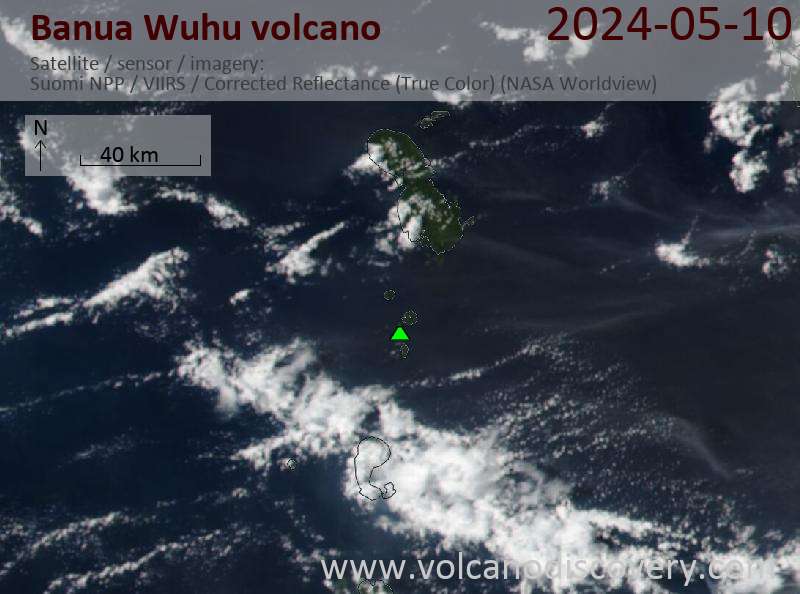
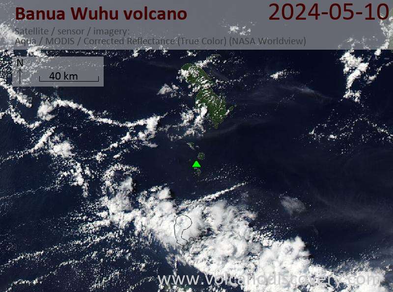
Latest satellite images

BanuaWuhu satellite image sat1BanuaWuhu satellite image sat2

Banua Wuhu Volcano Maps

Below is a selection of maps showing the location and surroundings of the volcano at various resolutions based on aerial-imagery / terrain maps. Feel free to use them for non-commercial purposes on your blog or website as long as you credit them with a link back to this page (click to copy it).
Satellite/aerial-type map of Banua Wuhu volcano (world scale)
Terrain-type map of Banua Wuhu volcano (world scale)
Satellite/aerial-type map of Banua Wuhu volcano (region scale large)
Terrain-type map of Banua Wuhu volcano (region scale large)
Satellite/aerial-type map of Banua Wuhu volcano (region scale medium)
Terrain-type map of Banua Wuhu volcano (region scale medium)
Satellite/aerial-type map of Banua Wuhu volcano (region scale small)
Terrain-type map of Banua Wuhu volcano (region scale small)
Satellite/aerial-type map of Banua Wuhu volcano (local scale large)
Terrain-type map of Banua Wuhu volcano (local scale large)
Satellite/aerial-type map of Banua Wuhu volcano (local scale medium)
Terrain-type map of Banua Wuhu volcano (local scale medium)
Satellite/aerial-type map of Banua Wuhu volcano (local scale small)
Terrain-type map of Banua Wuhu volcano (local scale small)
Satellite/aerial-type map of Banua Wuhu volcano (scale of 10s of km)
Terrain-type map of Banua Wuhu volcano (scale of 10s of km)
Satellite/aerial-type map of Banua Wuhu volcano (scale of 20-40 km)
Terrain-type map of Banua Wuhu volcano (scale of 20-40 km)
Satellite/aerial-type map of Banua Wuhu volcano (scale of approx. 10-20 km)
Terrain-type map of Banua Wuhu volcano (scale of approx. 10-20 km)
Satellite/aerial-type map of Banua Wuhu volcano (scale of 5-10 km)
Satellite/aerial-type map of Banua Wuhu volcano (scale of few kilometers)
Volcanoes & Earthquakes - new app for Android
Guaranteed tours
9-25 Jun 2025: Volcanoes and Spices - Sulawesi/Halmahera (Indonesia)
7-22 Jul 2025: From Krakatau to Bali - Java (Indonesia)
7-23 Jul 2025: Volcanoes and Spices - Sulawesi/Halmahera (Indonesia)
1-17 Aug 2025: Volcanoes and Spices - Sulawesi/Halmahera (Indonesia)
1-14 Oct 2025: Desert, salt and volcanoes - Danakil desert (Ethiopia)
4-12 Oct 2025: From Stromboli to Etna - Sicily and Eolian Islands (Italy)
6-21 Oct 2025: From Krakatau to Bali - Java (Indonesia)
3-19 Nov 2025: Volcanoes and Spices - Sulawesi/Halmahera (Indonesia)
= spaces available   = guaranteed   = few spaces left   = booked out

No news in this list.

On this page:

Try our free app!
Volcanoes & Earthquakes - new app for Android
Android | iOS version

More on VolcanoDiscovery

Why is there advertising on this site?

Support us - Help us upgrade our services!

We truly love working to bring you the latest volcano and earthquake data from around the world. Maintaining our website and our free apps does require, however, considerable time and resources.
We need financing to increase hard- and software capacity as well as support our editor team. We're aiming to achieve uninterrupted service wherever an earthquake or volcano eruption unfolds, and your donations can make it happen! Every donation will be highly appreciated. If you find the information useful and would like to support our team in integrating further features, write great content, and in upgrading our soft- and hardware, please make a donation (PayPal).

Planned features:Thanks to your past donations, these features have been added recently:
Download and Upgrade the Volcanoes & Earthquakes app to get one of the fastest seismic and volcano alerts online:
Android | IOS
Thank you!
Sources: VolcanoDiscovery / VolcanoAdventures and other sources as noted.
Use of material: Most text and images on our websites are owned by us. Re-use is generally not permitted without authorization. Contact us for licensing rights.
Volcanoes & Earthquakes
VolcanoDiscovery Home
Volcanoes | Earthquakes | Photos | Volcano News | | Shop | App
Adventure & Study Travel
Tours to Volcanoes and Volcanic Areas: walking tours, photo tours, study tours
Tours & Dates | FAQ | About us
Get our newsletter!
Company info
Contact | Legal info | Terms & conditions
Follow us
Follow us on facebook Follow us on Instagram Follow us on Bluesky Follow us on Twitter Visit our Youtube channel
EN | DE | EL | ES | FR | IT | RU
VolcanoDiscovery GmbH, Germany, Reg. nr.: HRB 103744, EU Tax Id: DE 297 465 123 owned and created by
Dr. Tom Pfeiffer, volcanologist, volcano photographer, tour organizer member of
IAVCEI
IAVCEI
Vulkanologische Gesellschaft
Volcanological Society
Ecotourism Greece
Ecotourism Greece
RUV insurance
Insured by R+V
VolcanoDiscovery © 2004- All Rights Reserved | Privacy - Cookie Settings