


Bora-Bericcio Volcano
Updated: Jul 1, 2025 00:13 GMT -
Pumice cones
Ethiopia, 8.27°N / 39.03°E 
Summit height: 2285 m / 7,497 ft
Current status: normal or dormant (1 out of 5)
[smaller] [larger]
Bora-Bericcio volcano eruptions: unknown, no recent eruptions
Latest nearby earthquakes
| Date and Time | Mag / Depth | Distance / Location | |||
|---|---|---|---|---|---|
Background
The silicic Bora and Bericcio pumice cones, among the most youthful volcanoes of the Ethiopian Rift valley, rise 350-500 m above the floor of the rift. Bora has a 1.5-km-wide summit crater, and the more conical Bericcio is capped by a small summit crater and has a 1-km-wide crater on its south flank. Small silicic pyroclastic cones are found on the east flanks of both Bora and Bericcio. All volcanic products in this area are considered to be Holocene in age. Vigorous fumarolic activity continues at Bora-Bericcio.---
Smithsonian / GVP volcano information
Bora-Bericcio Volcano Photos
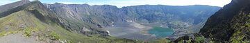
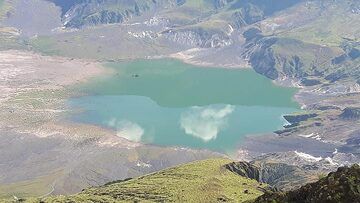
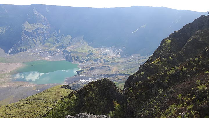
The summit caldera of Tambora volcano (Sumbawa Island, Indonesia), formed during the 1815 eruption (Photo: ThomasH)
The summit caldera of Tambora volcano (Sumbawa Island, Indonesia), formed during the 1815 eruption (Photo: ThomasH)
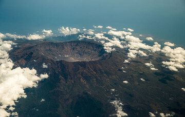
The mightly caldera of Tambora volcano - the site of the largest known historic volcanic explosion in the world: the volcano was decapitated during its violent explosion ...
The summit caldera of Tambora volcano (Sumbawa Island, Indonesia), formed during the 1815 eruption (Photo: ThomasH)
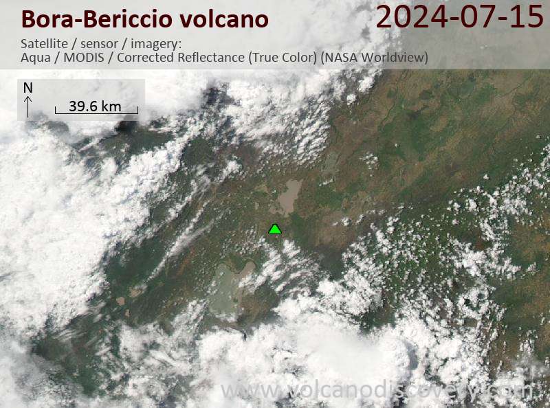
Latest satellite images
Bora-Bericcio Volcano Maps
Below is a selection of maps showing the location and surroundings of the volcano at various resolutions based on aerial-imagery / terrain maps. Feel free to use them for non-commercial purposes on your blog or website as long as you credit them with a link back to this page (click to copy it).
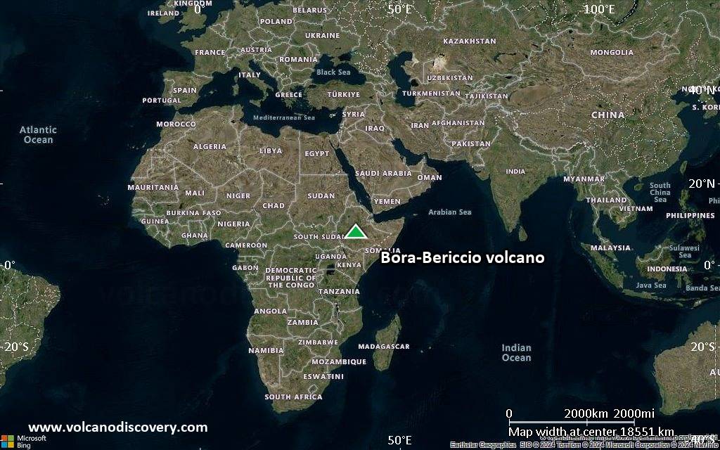
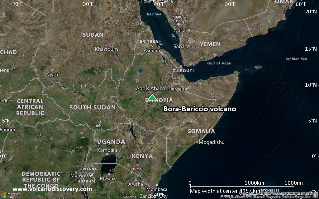
Satellite/aerial-type map of Bora-Bericcio volcano (world scale)
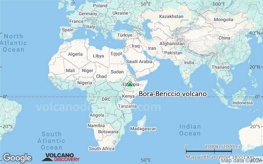
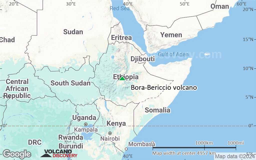
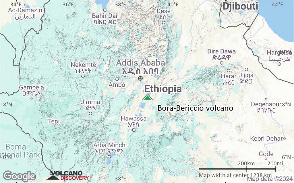
Terrain-type map of Bora-Bericcio volcano (world scale)
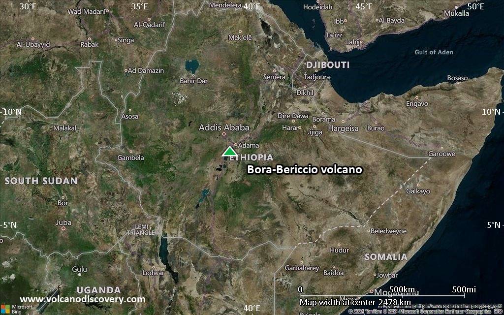
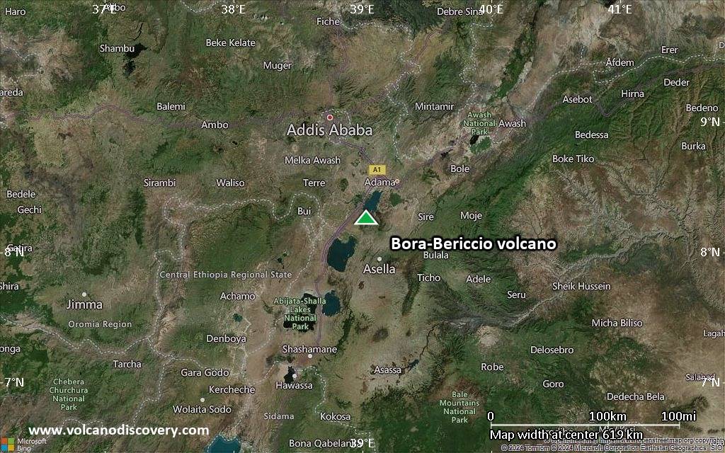
Satellite/aerial-type map of Bora-Bericcio volcano (region scale large)
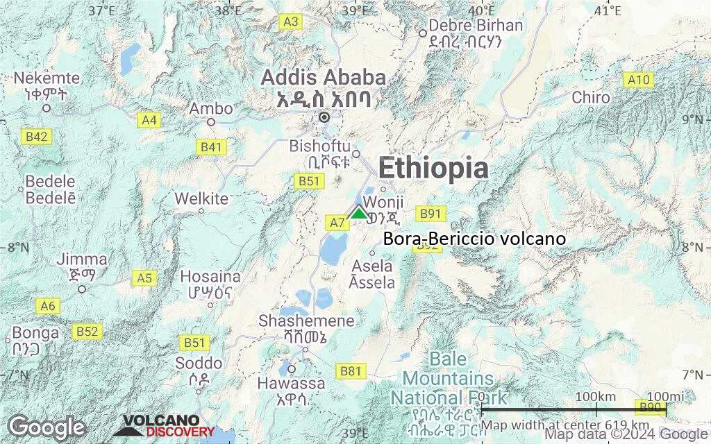
Terrain-type map of Bora-Bericcio volcano (region scale large)
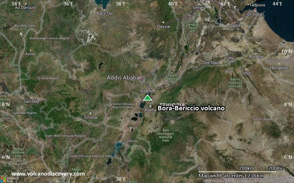
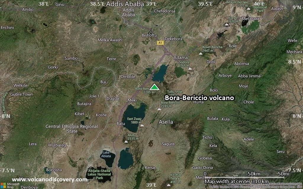
Satellite/aerial-type map of Bora-Bericcio volcano (region scale medium)

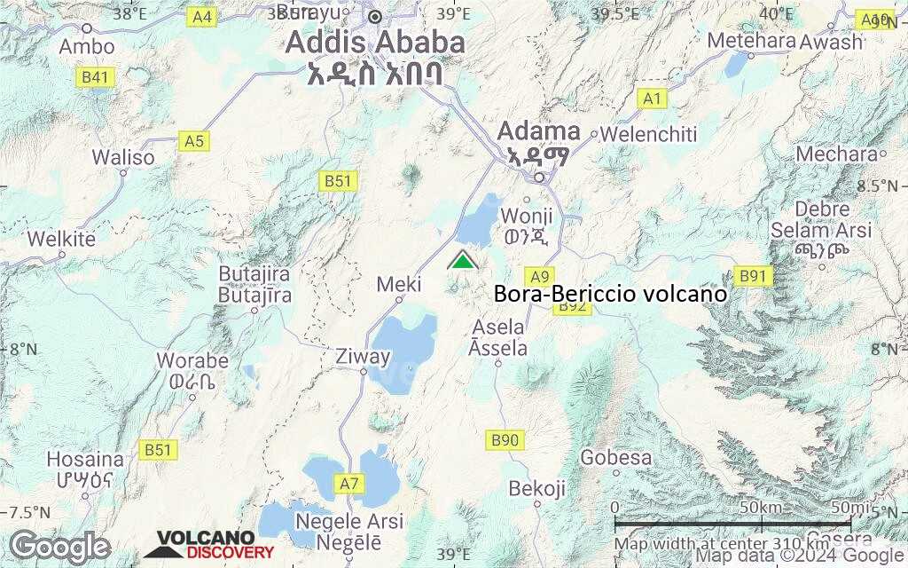
Terrain-type map of Bora-Bericcio volcano (region scale medium)
Satellite/aerial-type map of Bora-Bericcio volcano (region scale small)
Terrain-type map of Bora-Bericcio volcano (region scale small)
Satellite/aerial-type map of Bora-Bericcio volcano (local scale large)
Terrain-type map of Bora-Bericcio volcano (local scale large)
Satellite/aerial-type map of Bora-Bericcio volcano (local scale medium)
Terrain-type map of Bora-Bericcio volcano (local scale medium)

Satellite/aerial-type map of Bora-Bericcio volcano (local scale small)

Terrain-type map of Bora-Bericcio volcano (local scale small)

Satellite/aerial-type map of Bora-Bericcio volcano (scale of 10s of km)

Terrain-type map of Bora-Bericcio volcano (scale of 10s of km)

Satellite/aerial-type map of Bora-Bericcio volcano (scale of 20-40 km)

Terrain-type map of Bora-Bericcio volcano (scale of 20-40 km)

Satellite/aerial-type map of Bora-Bericcio volcano (scale of approx. 10-20 km)

Terrain-type map of Bora-Bericcio volcano (scale of approx. 10-20 km)

Satellite/aerial-type map of Bora-Bericcio volcano (scale of 5-10 km)

Satellite/aerial-type map of Bora-Bericcio volcano (scale of few kilometers)


