Bunyaruguru Volcano
Updated: Aug 6, 2025 12:43 GMT -
Maars
Uganda, -0.2°S / 30.08°E 
Summit height: 1554 m / 5,098 ft
Current status: normal or dormant (1 out of 5)
[smaller] [larger]
Bunyaruguru volcano eruptions: unknown, no recent eruptions
Latest nearby earthquakes
| Date and Time | Mag / Depth | Distance / Location | |||
|---|---|---|---|---|---|
Background
The late-Plestocene to Holocene Bunyaruguru volcanic field, also known as the Kichwambe volcanic field, straddles the equator along the eastern side of the Western Rift Valley, south of Lake George. The Bunyaruguru volcanic field contains more than 130 maars, 27 of which contain lakes with water ranging from fresh to saline. Friable calcareous volcanic tuffs are inter-bedded with Pleistocene and Recent sediments. Only a few foiditic lava flows are found in the volcanic field. Although no dated eruptions are known, Reece (1955) noted that volcanic activity probably continued into historical times.---
Smithsonian / GVP volcano information
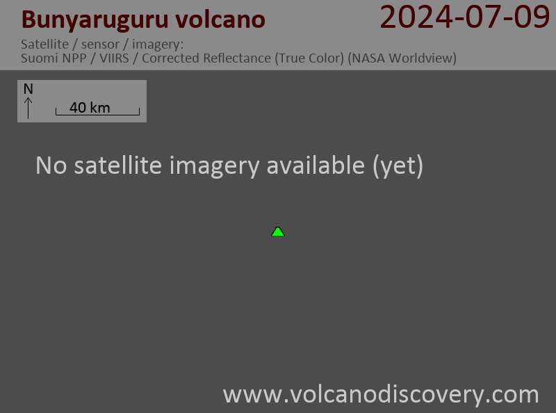
Latest satellite images

Bunyaruguru Volcano Maps
Below is a selection of maps showing the location and surroundings of the volcano at various resolutions based on aerial-imagery / terrain maps. Feel free to use them for non-commercial purposes on your blog or website as long as you credit them with a link back to this page (click to copy it).
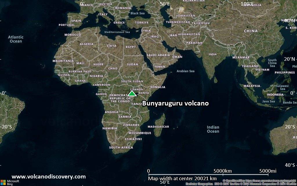
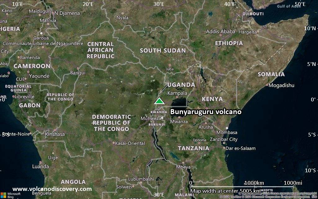
Satellite/aerial-type map of Bunyaruguru volcano (world scale)
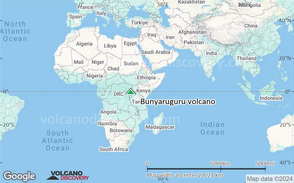
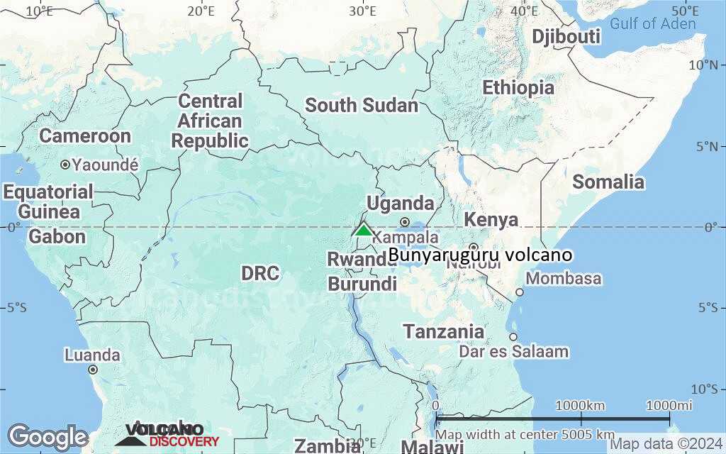
Terrain-type map of Bunyaruguru volcano (world scale)
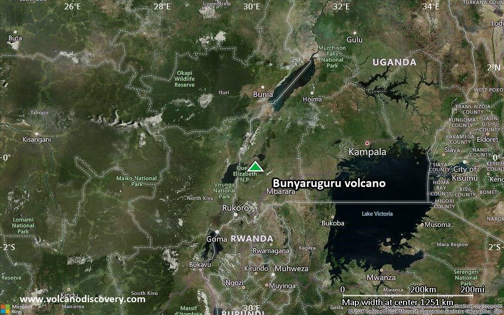
Satellite/aerial-type map of Bunyaruguru volcano (region scale large)
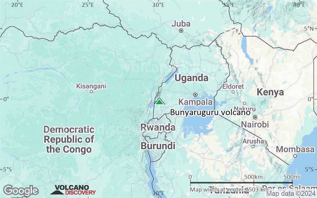
Terrain-type map of Bunyaruguru volcano (region scale large)

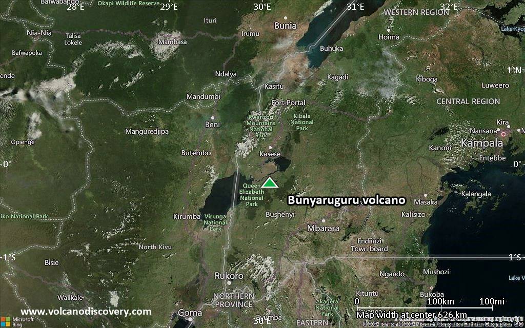
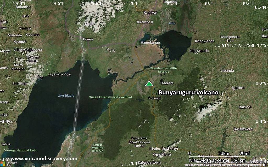
Satellite/aerial-type map of Bunyaruguru volcano (region scale medium)
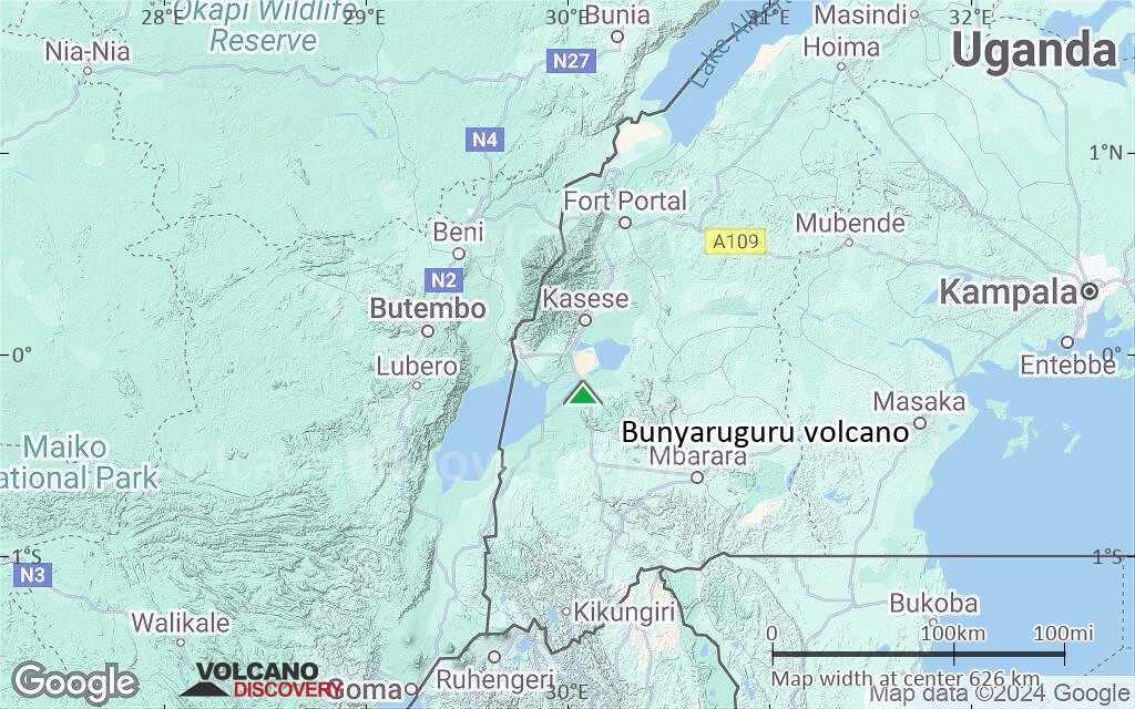
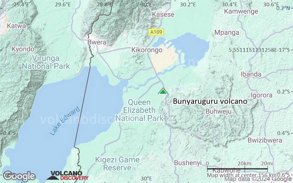
Terrain-type map of Bunyaruguru volcano (region scale medium)
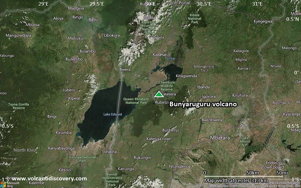
Satellite/aerial-type map of Bunyaruguru volcano (region scale small)

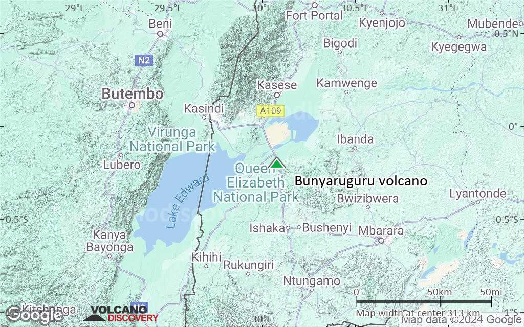
Terrain-type map of Bunyaruguru volcano (region scale small)
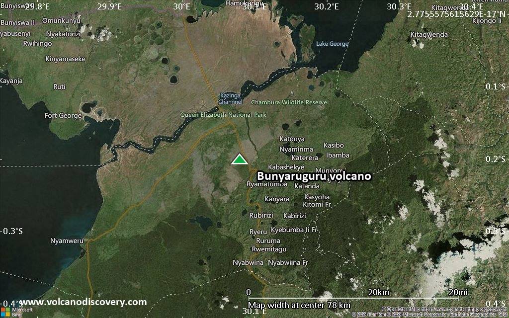
Satellite/aerial-type map of Bunyaruguru volcano (local scale large)
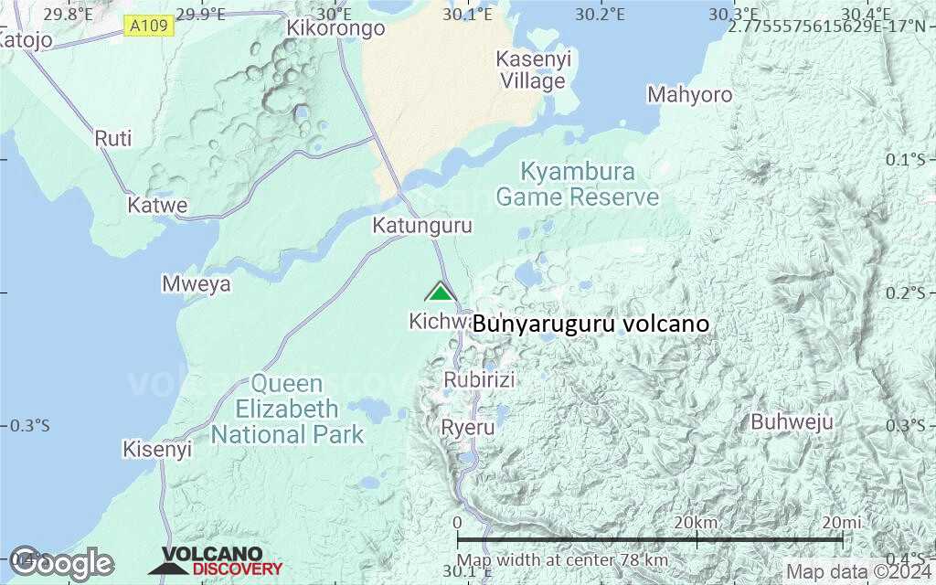
Terrain-type map of Bunyaruguru volcano (local scale large)
Satellite/aerial-type map of Bunyaruguru volcano (local scale medium)
Terrain-type map of Bunyaruguru volcano (local scale medium)
Satellite/aerial-type map of Bunyaruguru volcano (local scale small)
Terrain-type map of Bunyaruguru volcano (local scale small)
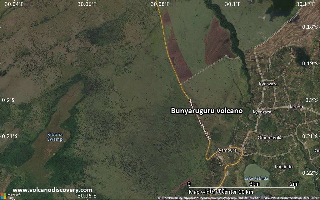
Satellite/aerial-type map of Bunyaruguru volcano (scale of 10s of km)
Terrain-type map of Bunyaruguru volcano (scale of 10s of km)
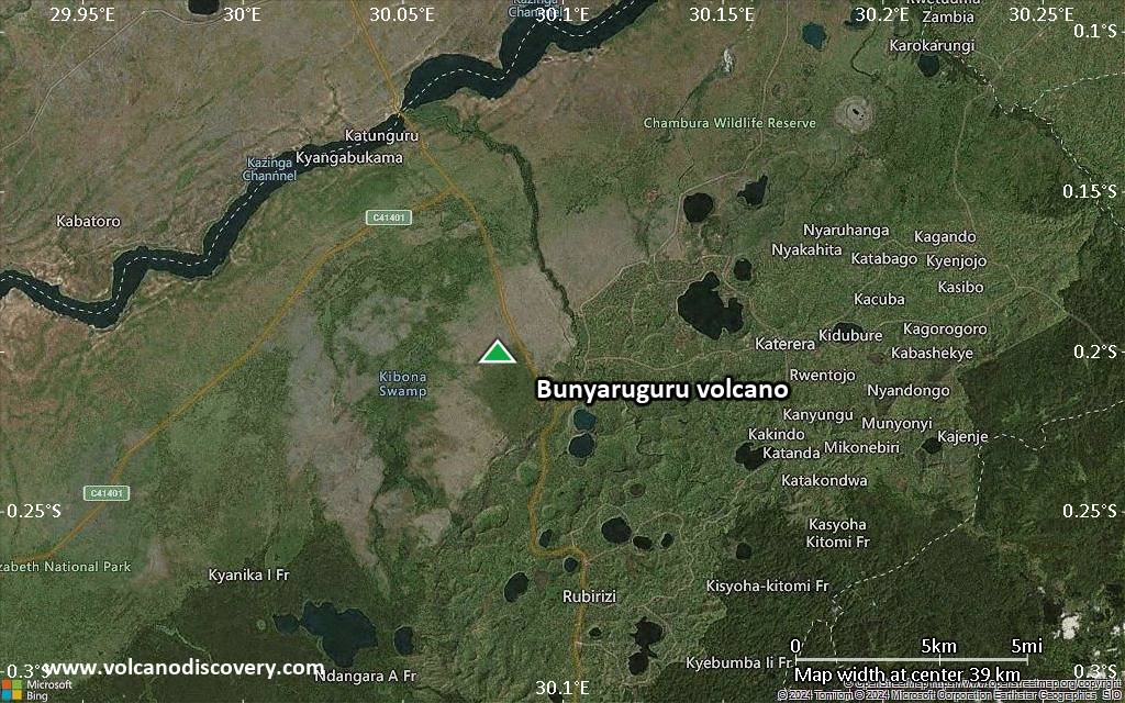
Satellite/aerial-type map of Bunyaruguru volcano (scale of 20-40 km)
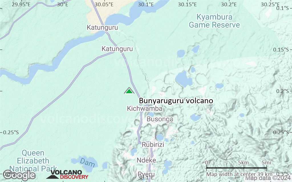
Terrain-type map of Bunyaruguru volcano (scale of 20-40 km)
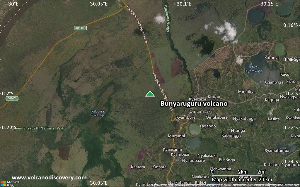
Satellite/aerial-type map of Bunyaruguru volcano (scale of approx. 10-20 km)
Terrain-type map of Bunyaruguru volcano (scale of approx. 10-20 km)
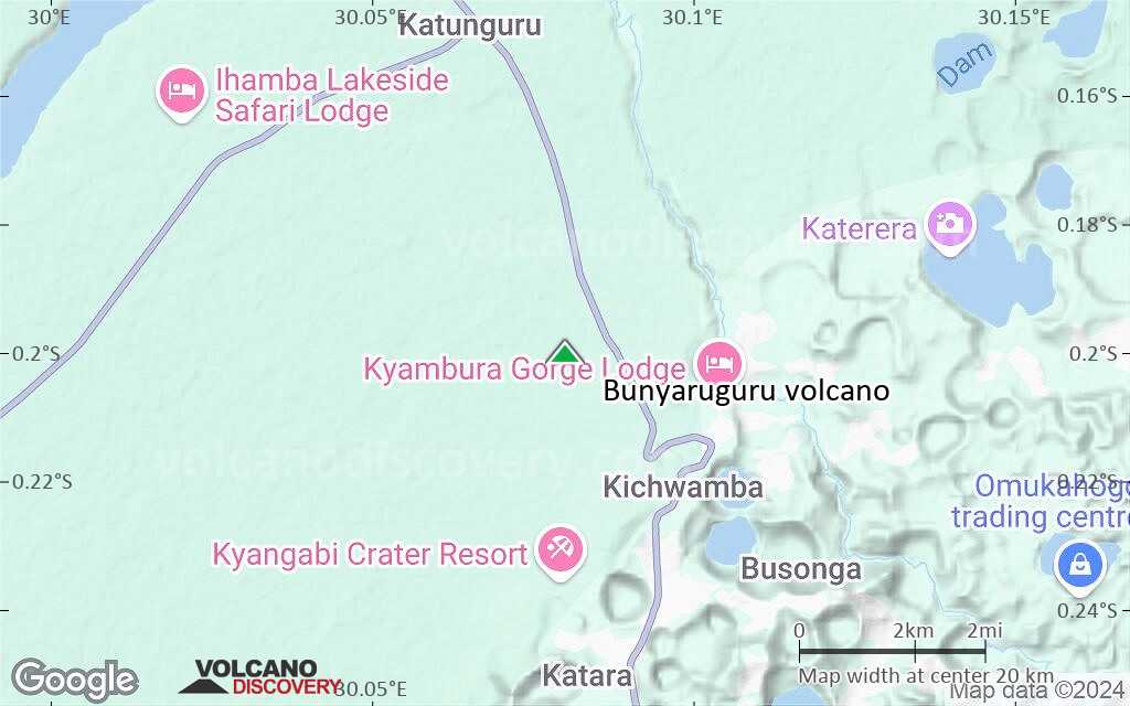
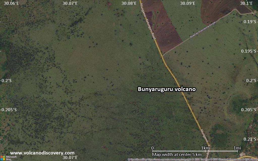
Satellite/aerial-type map of Bunyaruguru volcano (scale of 5-10 km)
Satellite/aerial-type map of Bunyaruguru volcano (scale of few kilometers)