


Camargo Volcanic Field Volcano
Updated: Nov 5, 2025 09:26 GMT -
Pyroclastic cone(s)
Mexico, 27.75°N / -104.42°W 
Summit height: 1900 m / 6234 ft
Current status: (probably) extinct (0 out of 5)
[smaller] [larger]
Camargo Volcanic Field volcano eruptions: None during the past 10,000 years
Less than few million years ago (Pleistocene)
Latest nearby earthquakes
| Date and Time | Mag / Depth | Distance / Location | |||
|---|---|---|---|---|---|
Background
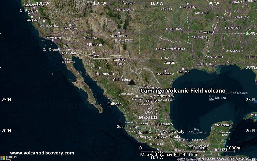
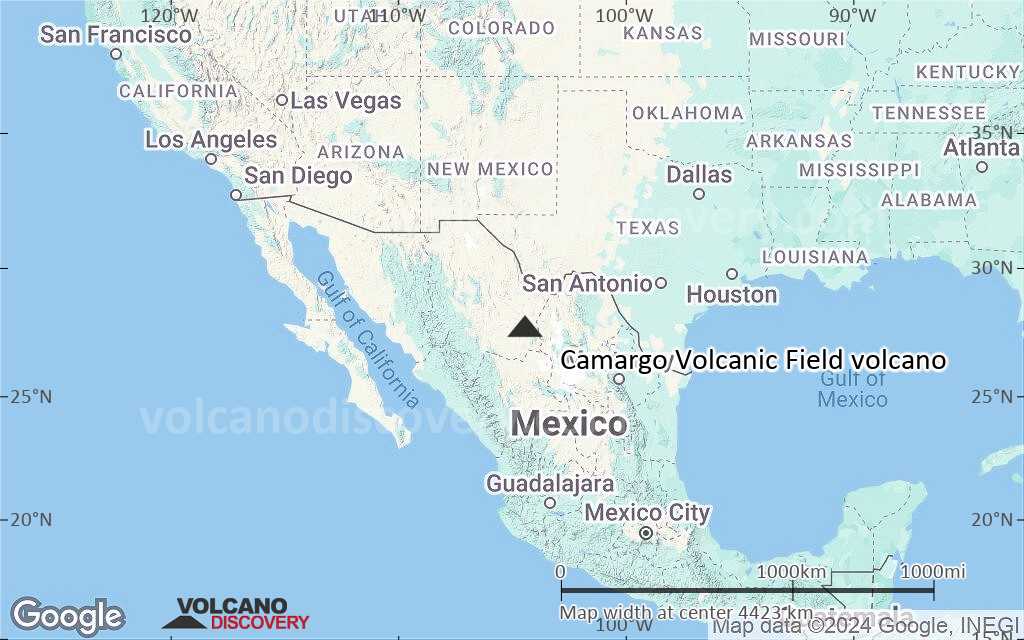
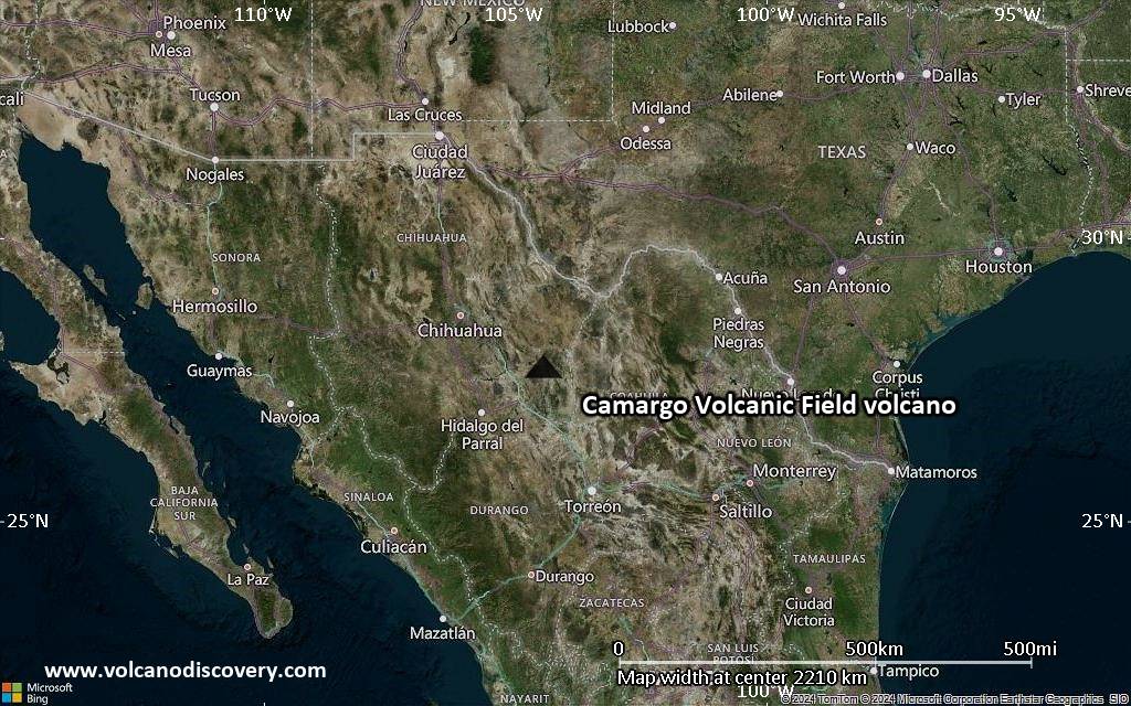
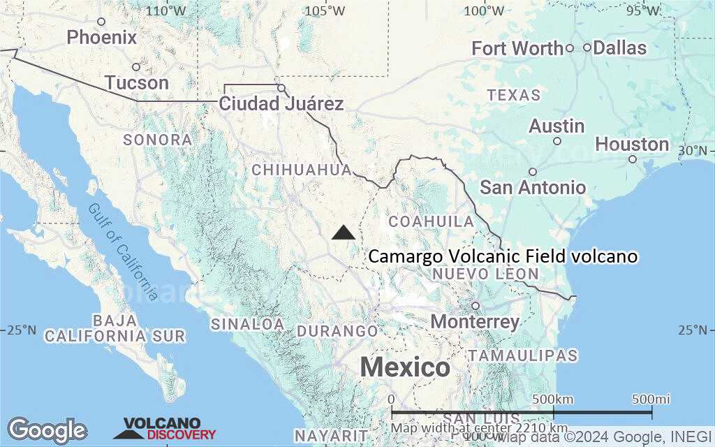
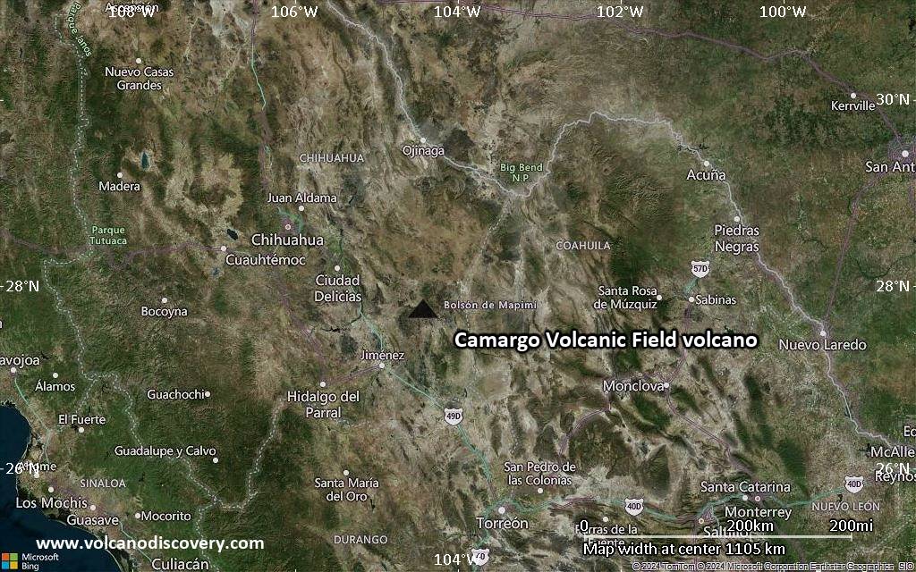
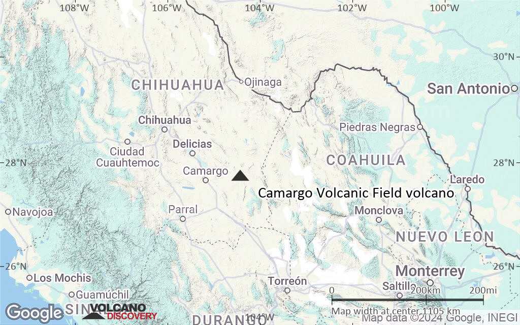
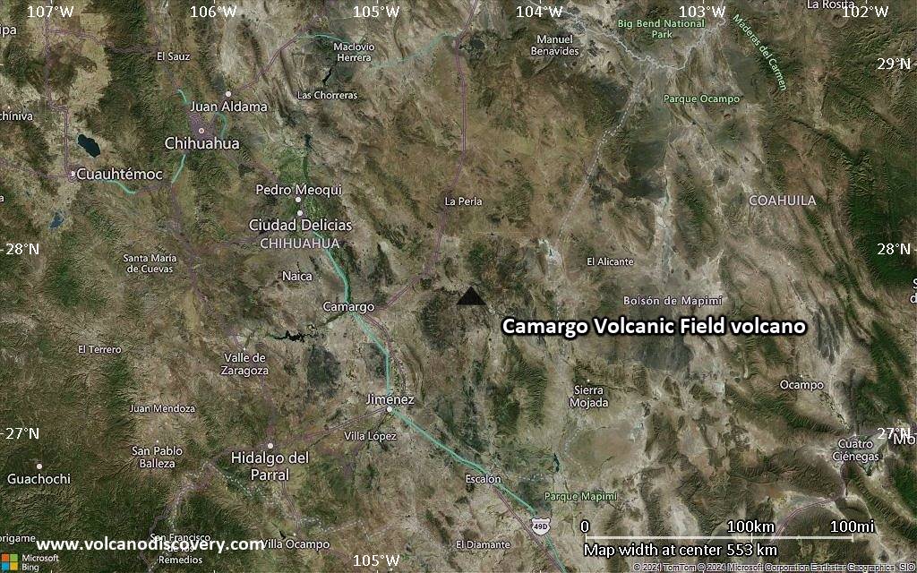
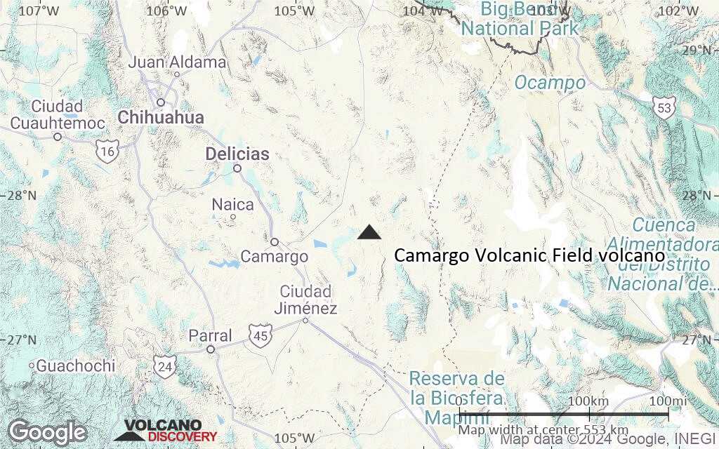
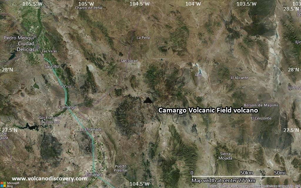
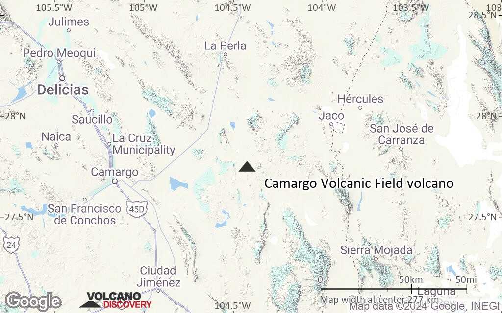
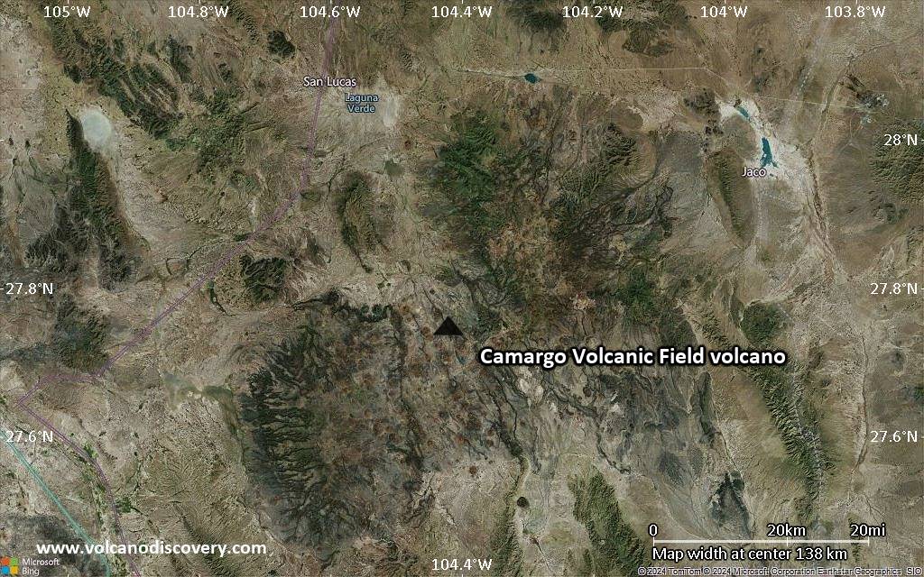
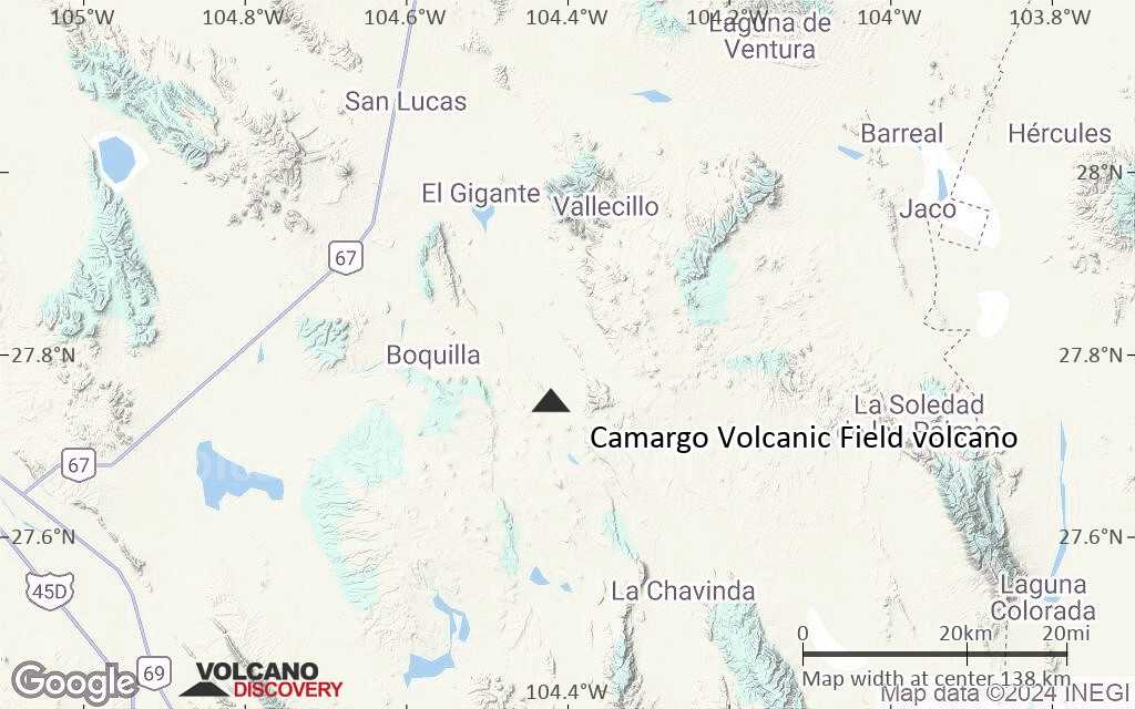
The Camargo volcanic field is located in the northern Bolsón de Mapimí graben in north-central México, about 150 km SW of Big Bend National Park in Texas. More than 300 volcanic vents, mostly cinder cones and lava cones, are located in a broad 2500 km2 lava plateau that extends 60 km E-W and 70 km N-S. It is mostly Pliocene in age, but an early Pleistocene age of 1.43 +/- 0.05 Ma was obtained on one sample. The best-studied vent of the field is 1.63 Ma Cerro el Salto (also known as La Olivina), a cinder cone whose spinel-lherzolite xenoliths were once mined for peridot.---
Source: Smithsonian / GVP volcano information
Latest satellite images
Camargo Volcanic Field Volcano Maps
Below is a selection of maps showing the location and surroundings of the volcano at various resolutions based on aerial-imagery / terrain maps. Feel free to use them for non-commercial purposes on your blog or website as long as you credit them with a link back to this page (click to copy it).
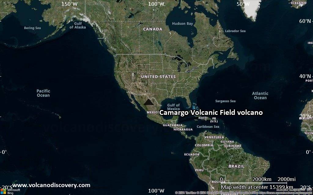
Satellite/aerial-type map of Camargo Volcanic Field volcano (world scale)
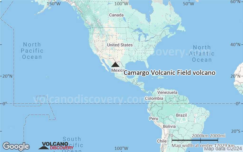
Terrain-type map of Camargo Volcanic Field volcano (world scale)
Satellite/aerial-type map of Camargo Volcanic Field volcano (region scale large)
Terrain-type map of Camargo Volcanic Field volcano (region scale large)
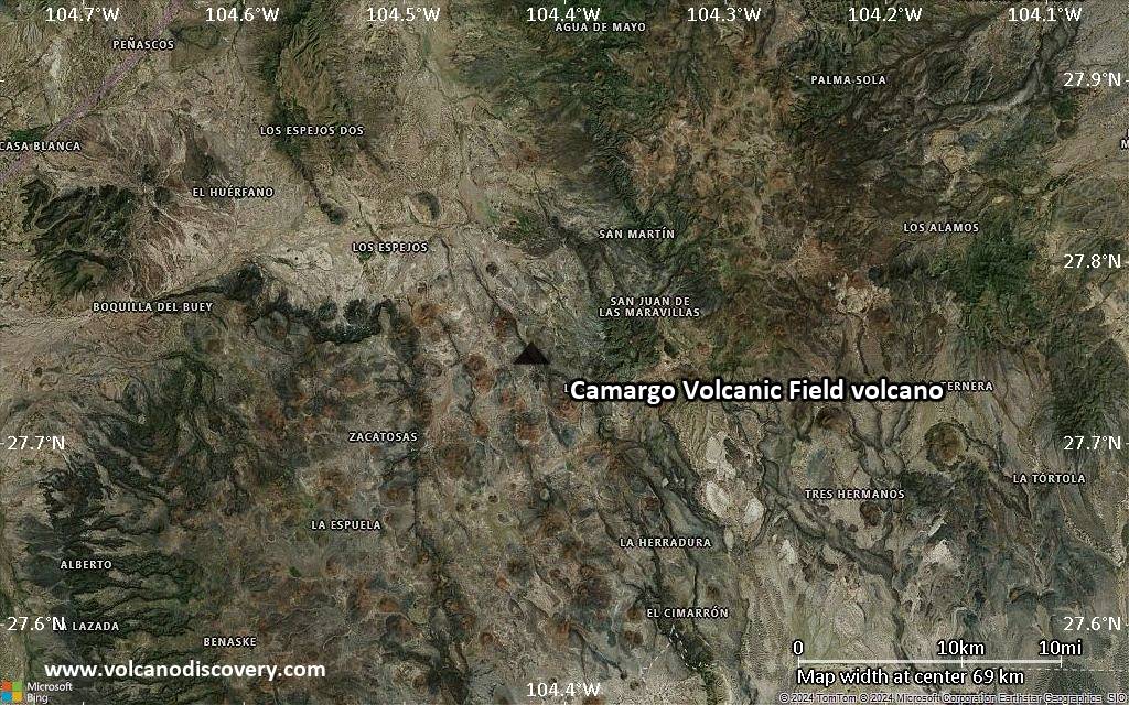
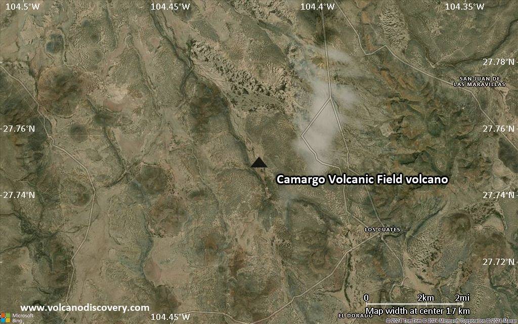
Satellite/aerial-type map of Camargo Volcanic Field volcano (region scale medium)
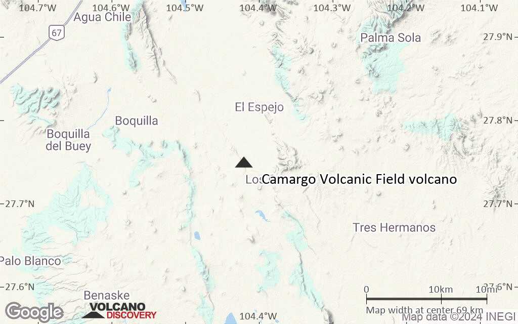
Terrain-type map of Camargo Volcanic Field volcano (region scale medium)
Satellite/aerial-type map of Camargo Volcanic Field volcano (region scale small)
Terrain-type map of Camargo Volcanic Field volcano (region scale small)
Satellite/aerial-type map of Camargo Volcanic Field volcano (local scale large)
Terrain-type map of Camargo Volcanic Field volcano (local scale large)
Satellite/aerial-type map of Camargo Volcanic Field volcano (local scale medium)
Terrain-type map of Camargo Volcanic Field volcano (local scale medium)
Satellite/aerial-type map of Camargo Volcanic Field volcano (local scale small)
Terrain-type map of Camargo Volcanic Field volcano (local scale small)
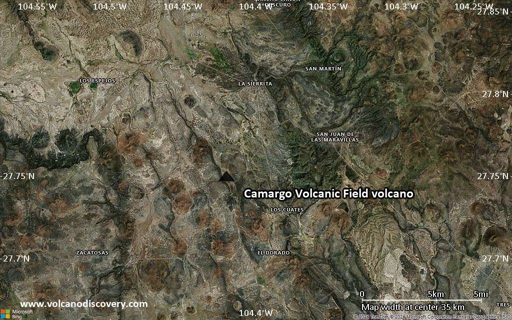
Satellite/aerial-type map of Camargo Volcanic Field volcano (scale of 10s of km)
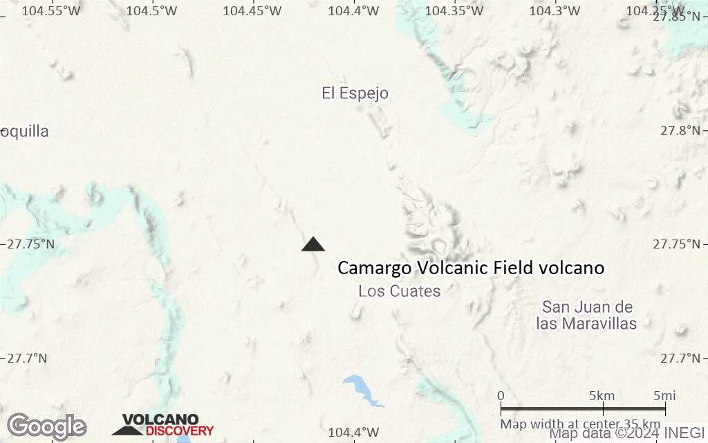
Terrain-type map of Camargo Volcanic Field volcano (scale of 10s of km)
Satellite/aerial-type map of Camargo Volcanic Field volcano (scale of 20-40 km)
Terrain-type map of Camargo Volcanic Field volcano (scale of 20-40 km)
Satellite/aerial-type map of Camargo Volcanic Field volcano (scale of approx. 10-20 km)

Terrain-type map of Camargo Volcanic Field volcano (scale of approx. 10-20 km)
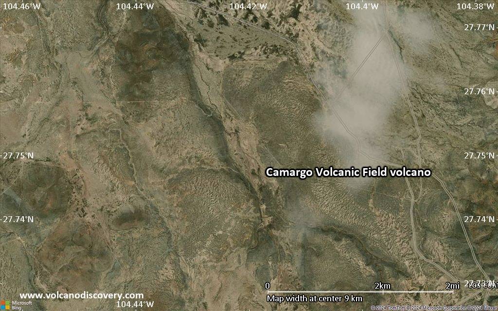
Satellite/aerial-type map of Camargo Volcanic Field volcano (scale of 5-10 km)
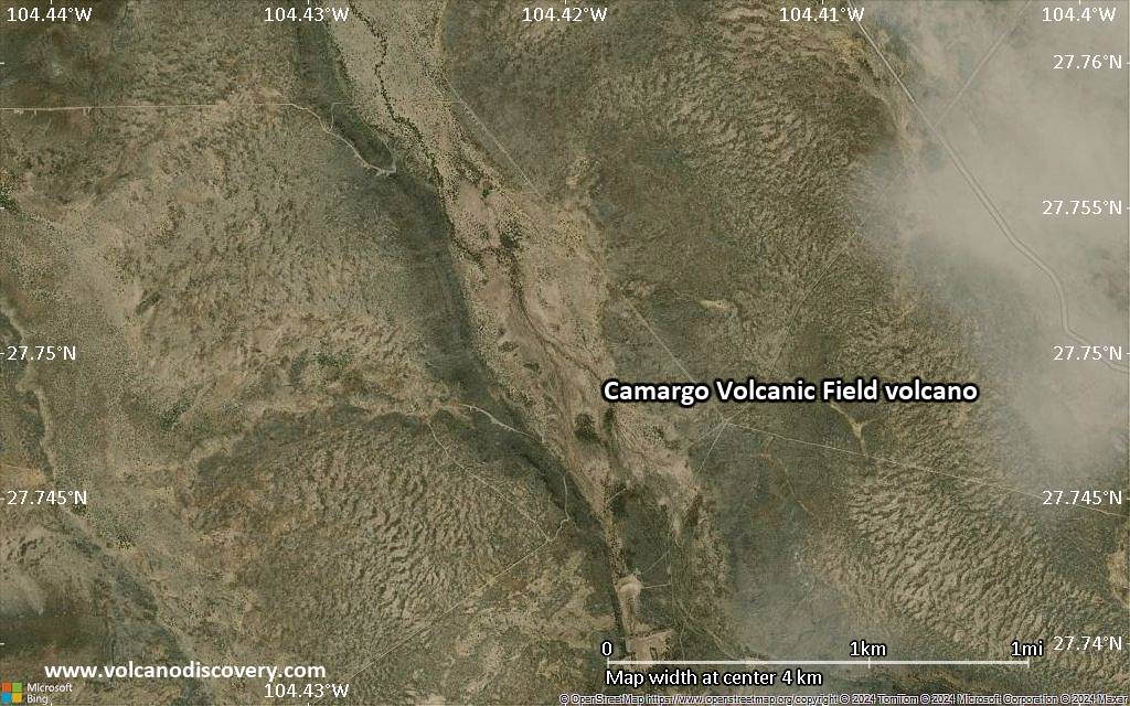
Satellite/aerial-type map of Camargo Volcanic Field volcano (scale of few kilometers)


