Caribou Volcano
Updated: Jul 5, 2025 21:48 GMT -
Volcanic field
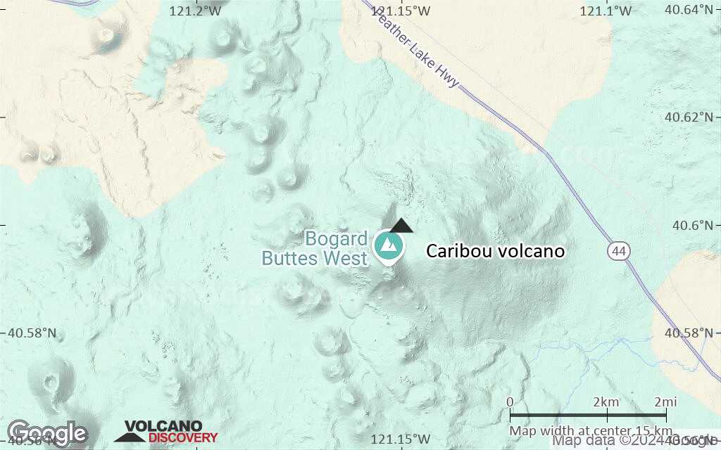
California, United States, 40.6°N / -121.15°W 
Summit height: 2309 m / 7575 ft
Current status: (probably) extinct (0 out of 5)
[smaller] [larger]
Caribou volcano eruptions: None during the past 10,000 years
Less than few million years ago (Pleistocene)
Latest nearby earthquakes
| Date and Time | Mag / Depth | Distance / Location | |||
|---|---|---|---|---|---|
Background
The Caribou volcanic field east of Lassen National Park contains about 140 mid-Pleistocene to late-Pleistocene cones and shields that are controlled by Basin and Range extensional faulting. The Caribou volcanic field was active from about 450,000 to 20,000 years ago (Hildreth, 2007). The field includes a long, NW-SE-trending chain of Pleistocene cinder cones immediately west of Bogard Buttes.---
Source: Smithsonian / GVP volcano information
Latest satellite images
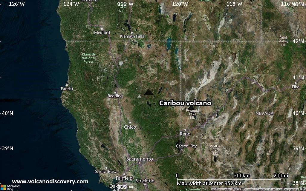
Caribou Volcano Maps
Below is a selection of maps showing the location and surroundings of the volcano at various resolutions based on aerial-imagery / terrain maps. Feel free to use them for non-commercial purposes on your blog or website as long as you credit them with a link back to this page (click to copy it).

Satellite/aerial-type map of Caribou volcano (world scale)

Terrain-type map of Caribou volcano (world scale)

Satellite/aerial-type map of Caribou volcano (region scale large)

Terrain-type map of Caribou volcano (region scale large)

Satellite/aerial-type map of Caribou volcano (region scale medium)

Terrain-type map of Caribou volcano (region scale medium)
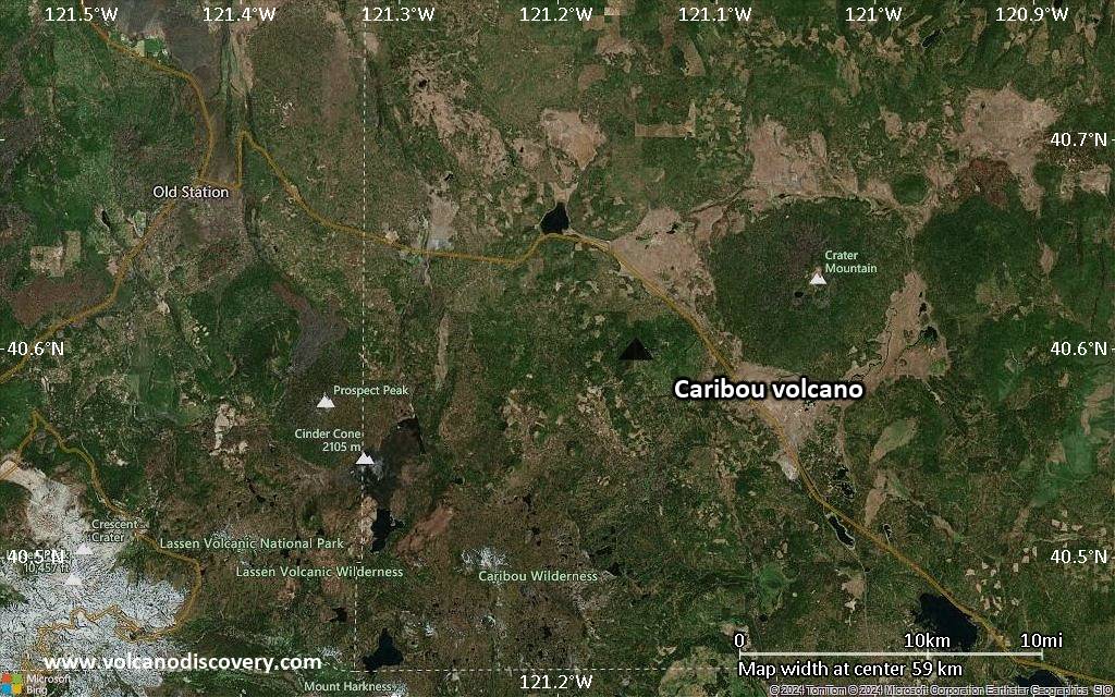
Satellite/aerial-type map of Caribou volcano (region scale small)

Terrain-type map of Caribou volcano (region scale small)

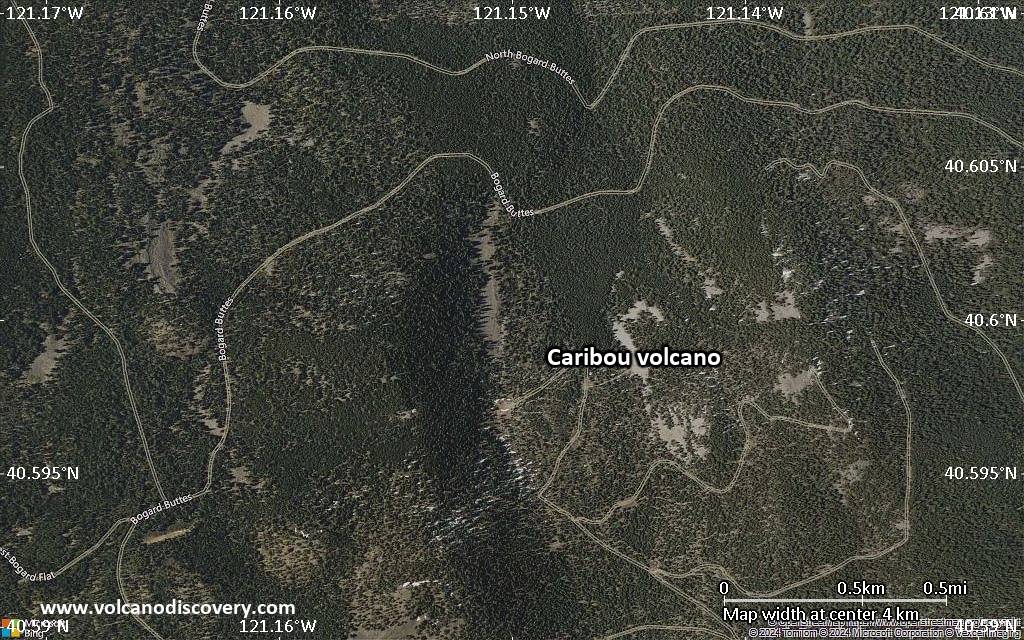
Satellite/aerial-type map of Caribou volcano (local scale large)

Terrain-type map of Caribou volcano (local scale large)

Satellite/aerial-type map of Caribou volcano (local scale medium)

Terrain-type map of Caribou volcano (local scale medium)

Satellite/aerial-type map of Caribou volcano (local scale small)

Terrain-type map of Caribou volcano (local scale small)
Satellite/aerial-type map of Caribou volcano (scale of 10s of km)

Terrain-type map of Caribou volcano (scale of 10s of km)
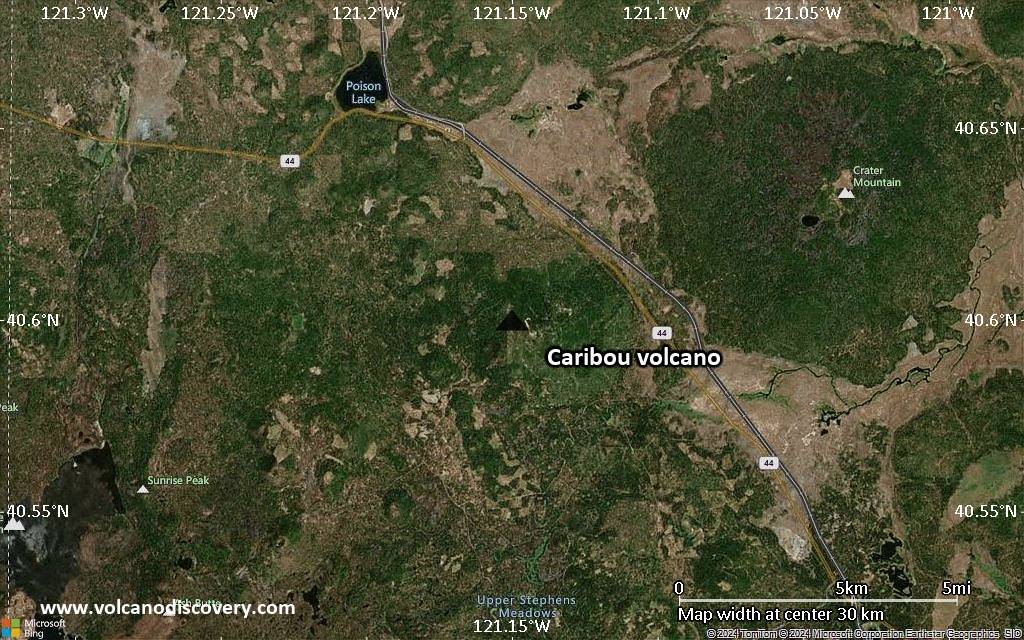
Satellite/aerial-type map of Caribou volcano (scale of 20-40 km)
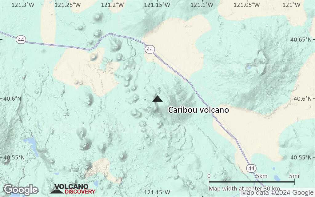
Terrain-type map of Caribou volcano (scale of 20-40 km)
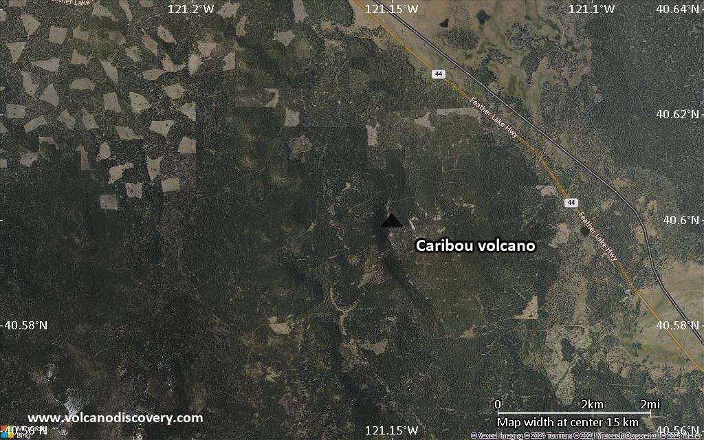
Satellite/aerial-type map of Caribou volcano (scale of approx. 10-20 km)
Terrain-type map of Caribou volcano (scale of approx. 10-20 km)

Satellite/aerial-type map of Caribou volcano (scale of 5-10 km)
Satellite/aerial-type map of Caribou volcano (scale of few kilometers)