


Chubetsu Volcano
Updated: Jul 7, 2025 01:18 GMT -
Stratovolcano
Hokkaido, Japan, 43.59°N / 142.9°E 
Summit height: 1963 m / 6440 ft
Current status: (probably) extinct (0 out of 5)
[smaller] [larger]
Chubetsu volcano eruptions: None during the past 10,000 years
Less than few million years ago (Pleistocene)
Latest nearby earthquakes
| Date and Time | Mag / Depth | Distance / Location | |||
|---|---|---|---|---|---|
| Jul 5, 06:50 pm (GMT +9) | 0.5 6.8 km | 19 km (12 mi) to the S | Info | ||
| Jul 5, 06:40 pm (GMT +9) | 1.8 12 km | 19 km (12 mi) to the S | Info | ||
| Friday, July 4, 2025 GMT (1 quake) | |||||
| Jul 5, 04:23 am (GMT +9) | 0.4 5.5 km | 21 km (13 mi) to the S | Info | ||
| Thursday, July 3, 2025 GMT (1 quake) | |||||
| Jul 4, 05:27 am (GMT +9) | 0.5 2.7 km | 18 km (11 mi) to the SE | Info | ||
| Wednesday, July 2, 2025 GMT (2 quakes) | |||||
| Jul 3, 05:15 am (GMT +9) | 0.5 6.3 km | 29 km (18 mi) to the NE | Info | ||
| Jul 3, 03:37 am (GMT +9) | 0.9 6.7 km | 28 km (17 mi) to the NE | Info | ||
| Tuesday, July 1, 2025 GMT (1 quake) | |||||
| Jul 2, 01:28 am (GMT +9) | 3.4 244 km | 25 km (15 mi) to the N | Info | ||
| Wednesday, June 25, 2025 GMT (2 quakes) | |||||
| Jun 25, 12:20 pm (GMT +9) | 0.8 3 km | 14 km (8.4 mi) to the S | Info | ||
| Jun 25, 12:04 pm (GMT +9) | 0.7 4.8 km | 14 km (9 mi) to the S | Info | ||
Background
Chubetsu volcano (Chubetsu-dake or Tyubetu-dake), an andesitic stratovolcano SE of Daisetsu volcano, was active about 1-0.8 million years ago (Nakano et al., 2001-).---
Source: Smithsonian / GVP volcano information
Latest satellite images
Chubetsu Volcano Maps
Below is a selection of maps showing the location and surroundings of the volcano at various resolutions based on aerial-imagery / terrain maps. Feel free to use them for non-commercial purposes on your blog or website as long as you credit them with a link back to this page (click to copy it).
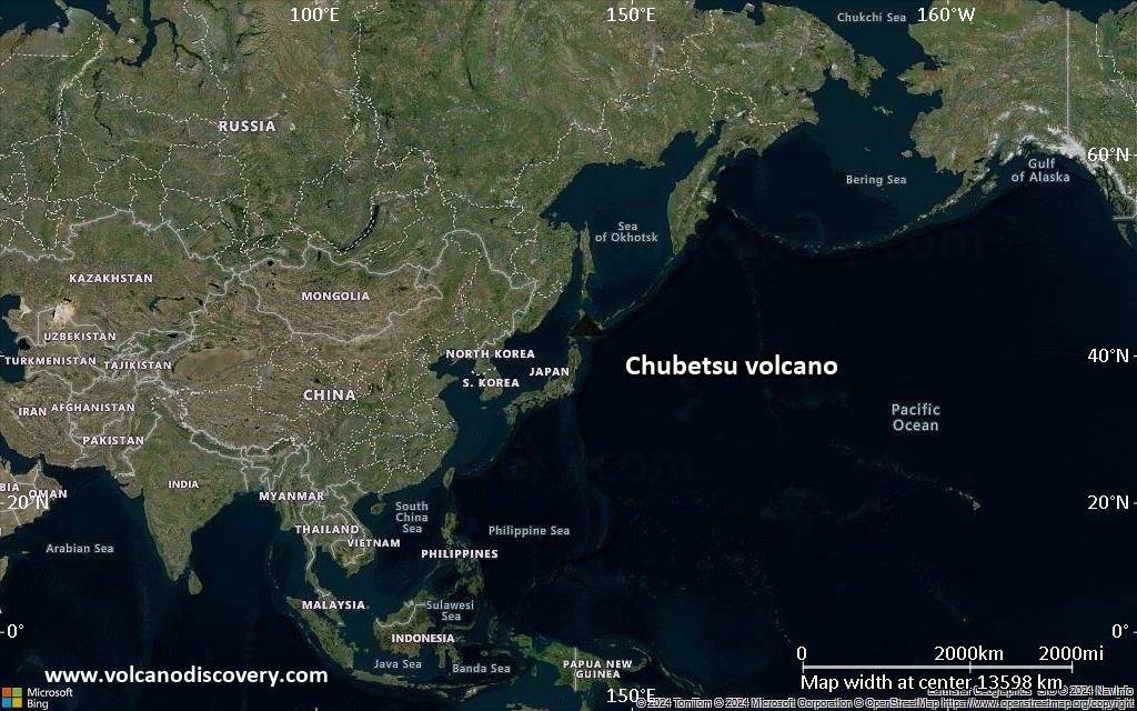
Satellite/aerial-type map of Chubetsu volcano (world scale)
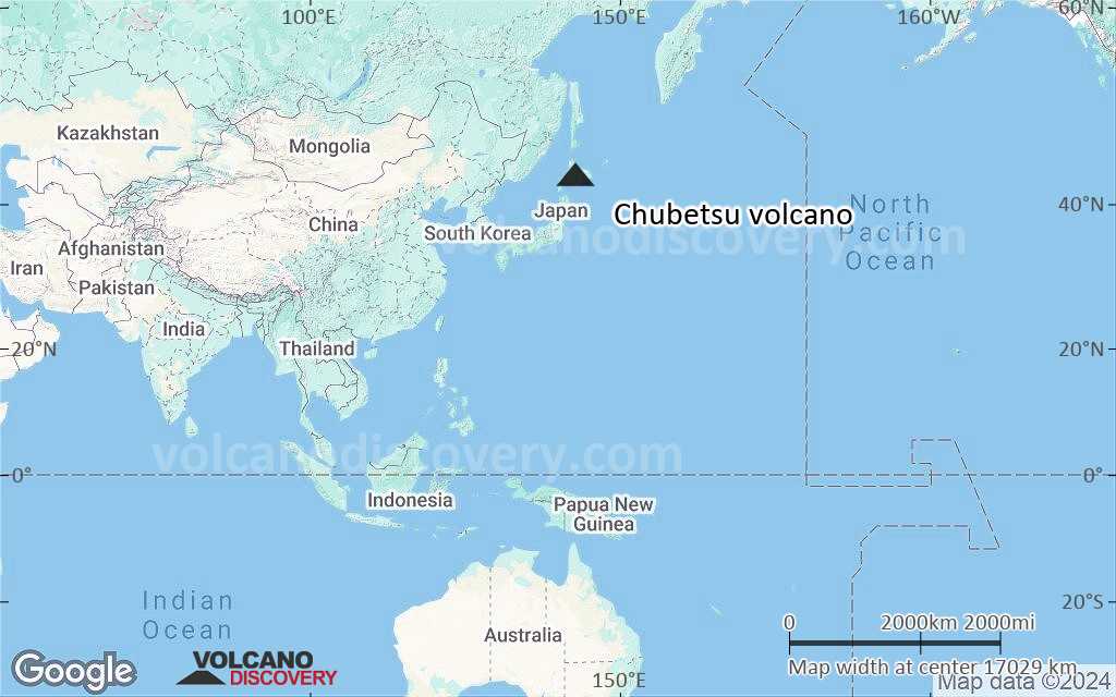
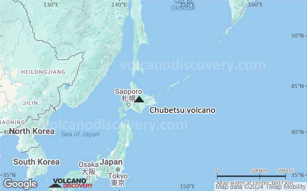
Terrain-type map of Chubetsu volcano (world scale)

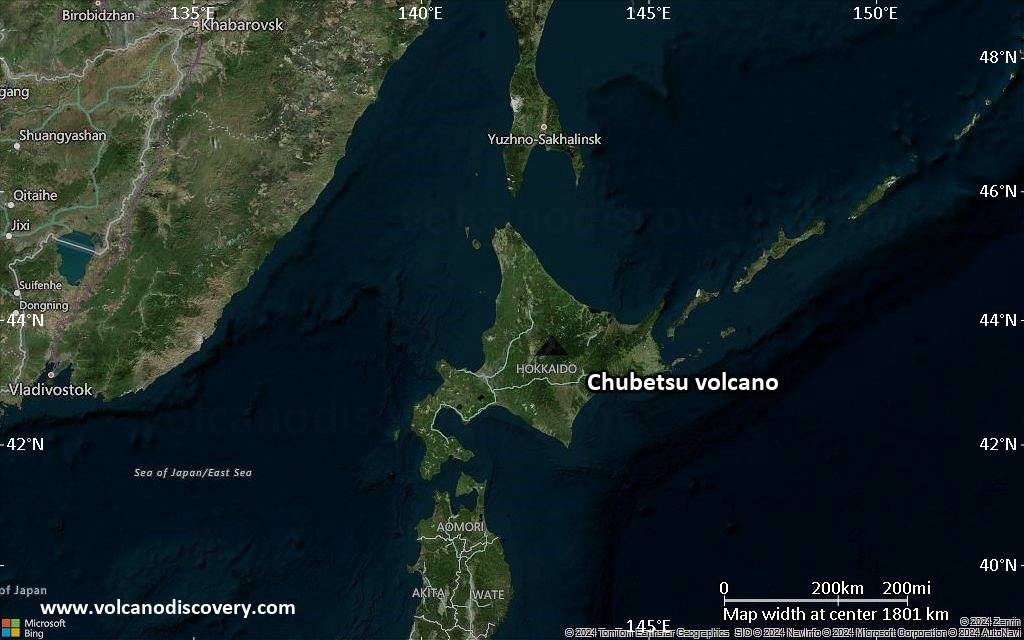
Satellite/aerial-type map of Chubetsu volcano (region scale large)
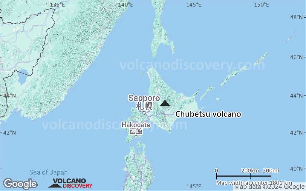
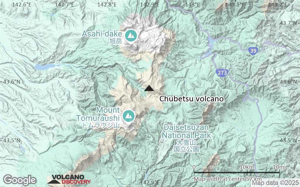
Terrain-type map of Chubetsu volcano (region scale large)
Satellite/aerial-type map of Chubetsu volcano (region scale medium)
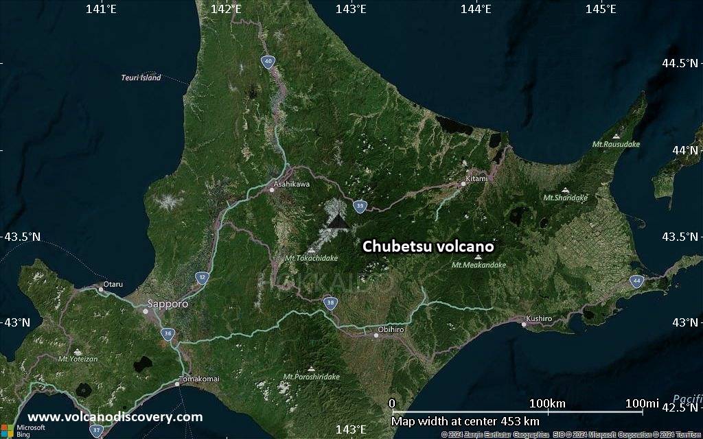
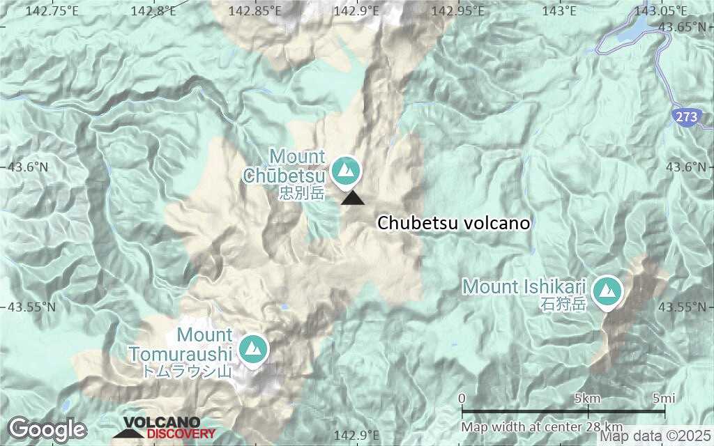
Terrain-type map of Chubetsu volcano (region scale medium)

Satellite/aerial-type map of Chubetsu volcano (region scale small)

Terrain-type map of Chubetsu volcano (region scale small)
Satellite/aerial-type map of Chubetsu volcano (local scale large)

Terrain-type map of Chubetsu volcano (local scale large)

Satellite/aerial-type map of Chubetsu volcano (local scale medium)

Terrain-type map of Chubetsu volcano (local scale medium)

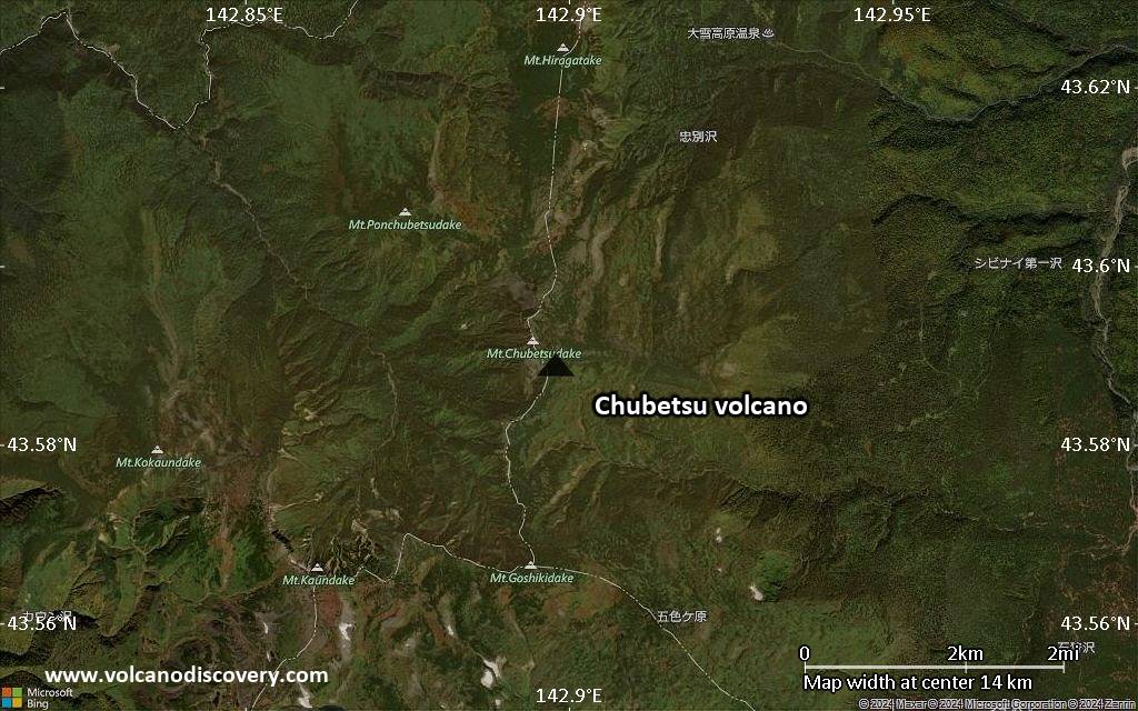
Satellite/aerial-type map of Chubetsu volcano (local scale small)

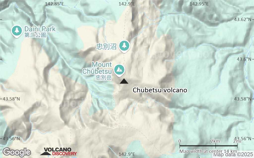
Terrain-type map of Chubetsu volcano (local scale small)

Satellite/aerial-type map of Chubetsu volcano (scale of 10s of km)
Terrain-type map of Chubetsu volcano (scale of 10s of km)

Satellite/aerial-type map of Chubetsu volcano (scale of 20-40 km)
Terrain-type map of Chubetsu volcano (scale of 20-40 km)
Satellite/aerial-type map of Chubetsu volcano (scale of approx. 10-20 km)
Terrain-type map of Chubetsu volcano (scale of approx. 10-20 km)

Satellite/aerial-type map of Chubetsu volcano (scale of 5-10 km)

Satellite/aerial-type map of Chubetsu volcano (scale of few kilometers)


