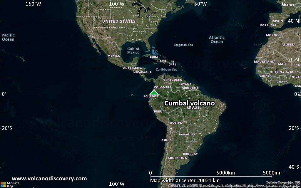
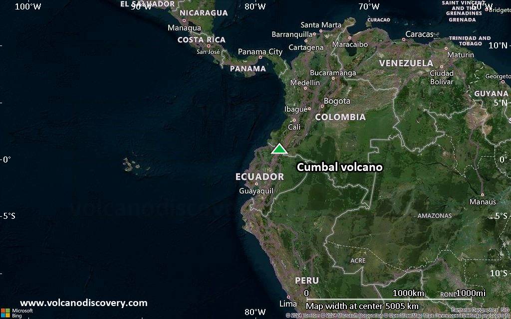
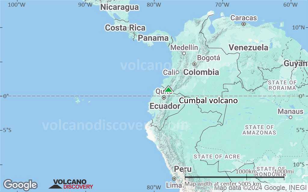
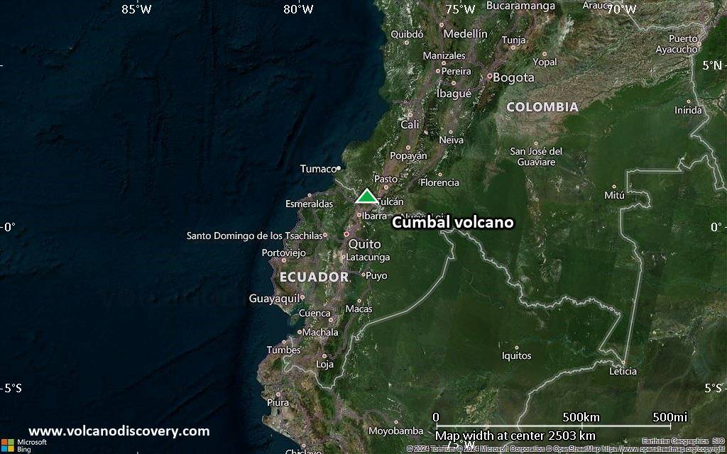
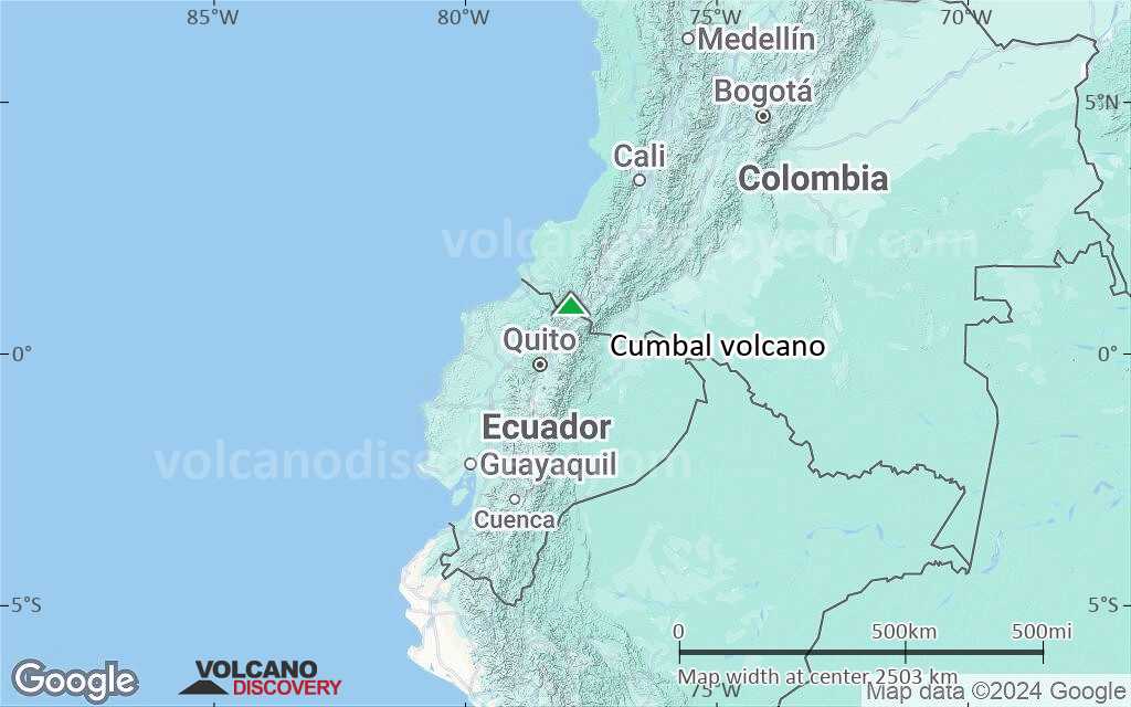
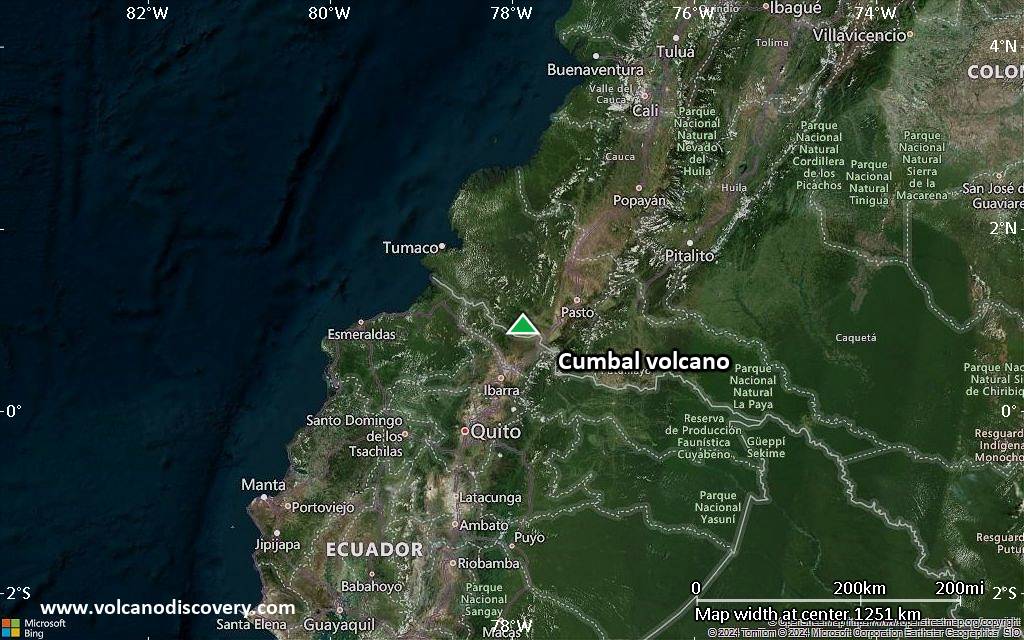
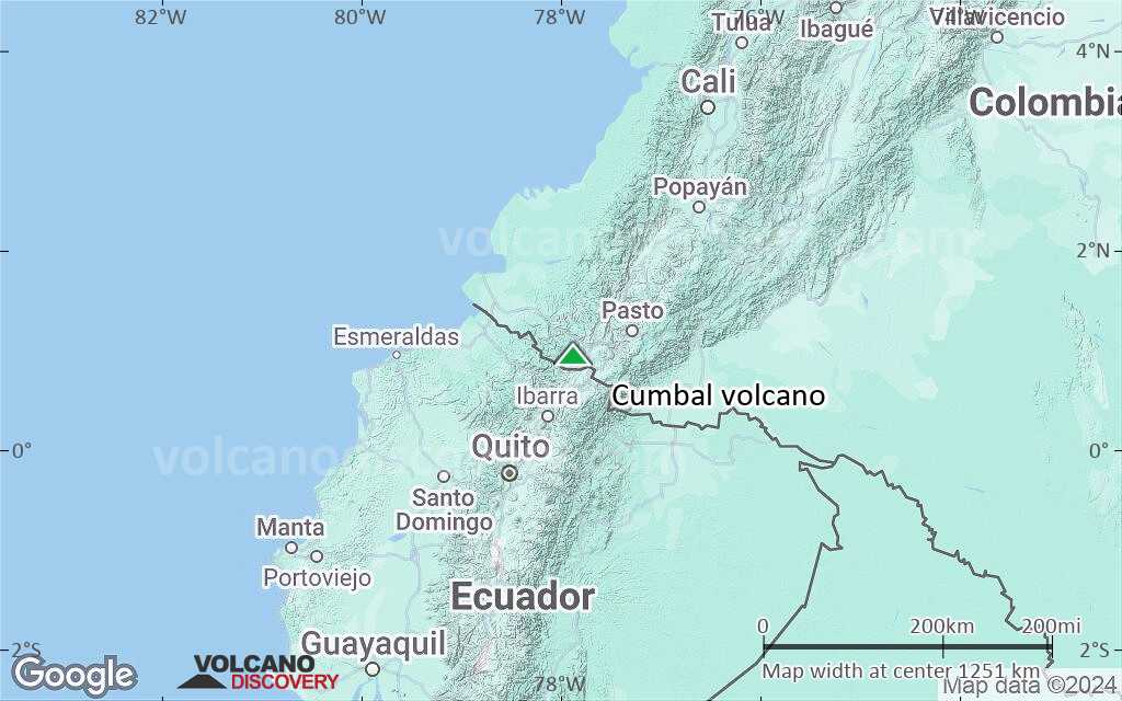
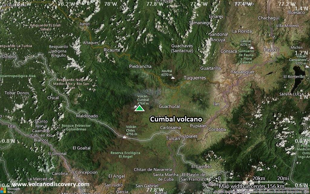
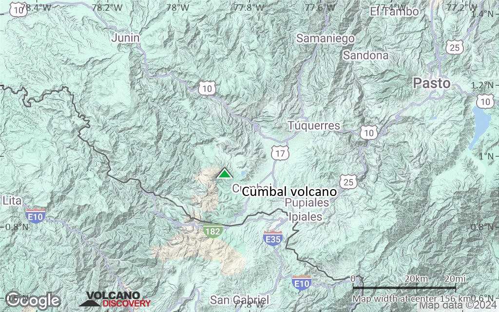
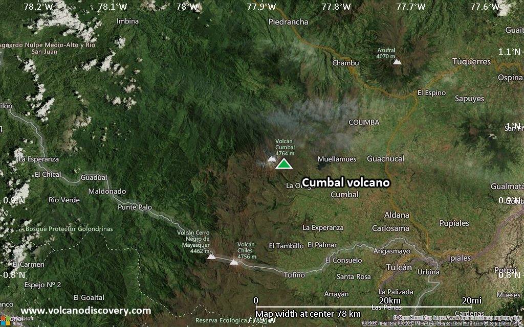
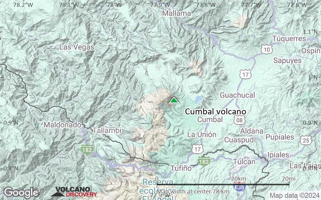
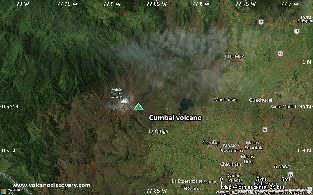
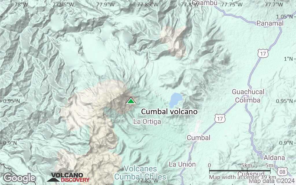
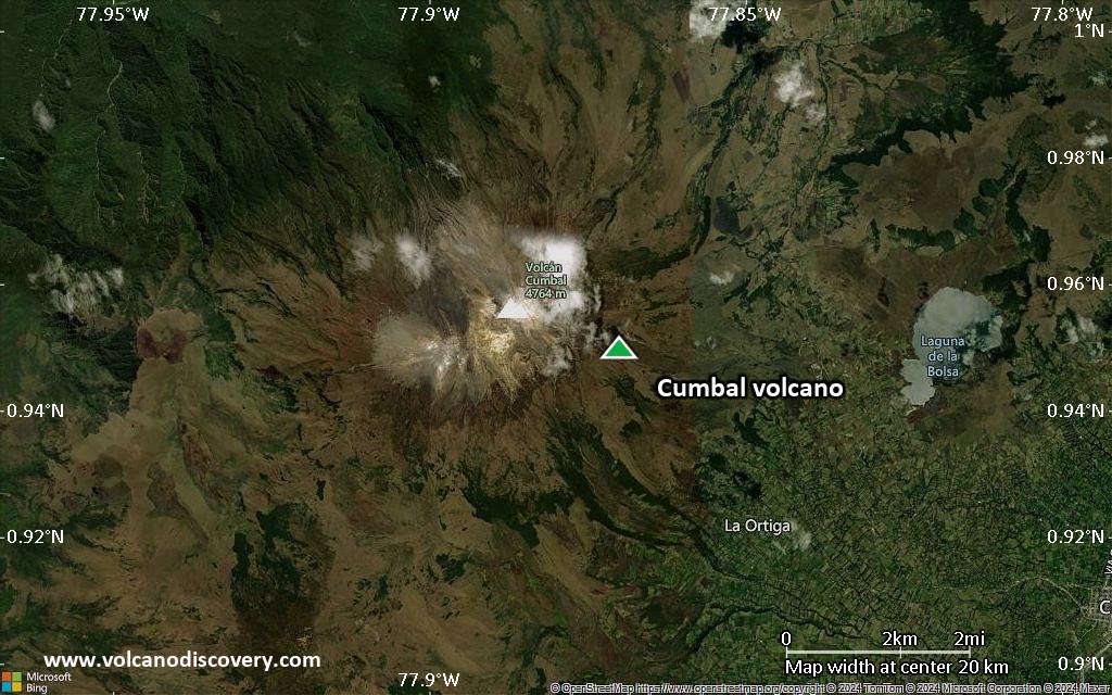
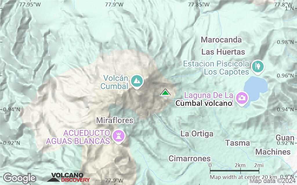
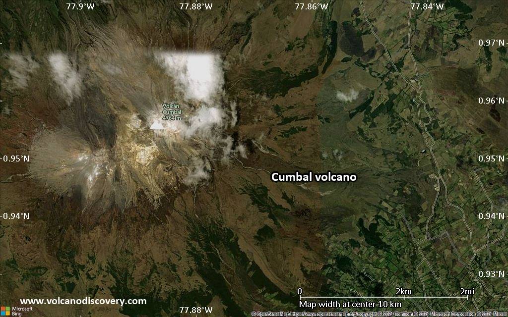
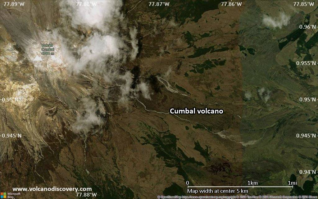
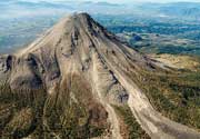
| RSS | EN | DE | EL | ES | FR | IT | RU

Cumbal Volcano

Updated: Jul 4, 2025 19:44 GMT -
stratovolcano
Colombia, 0.95°N / -77.87°W
Summit height: 4764 m / 15,630 feet
Current status: normal or dormant (1 out of 5)
Last update: 15 Dec 2021

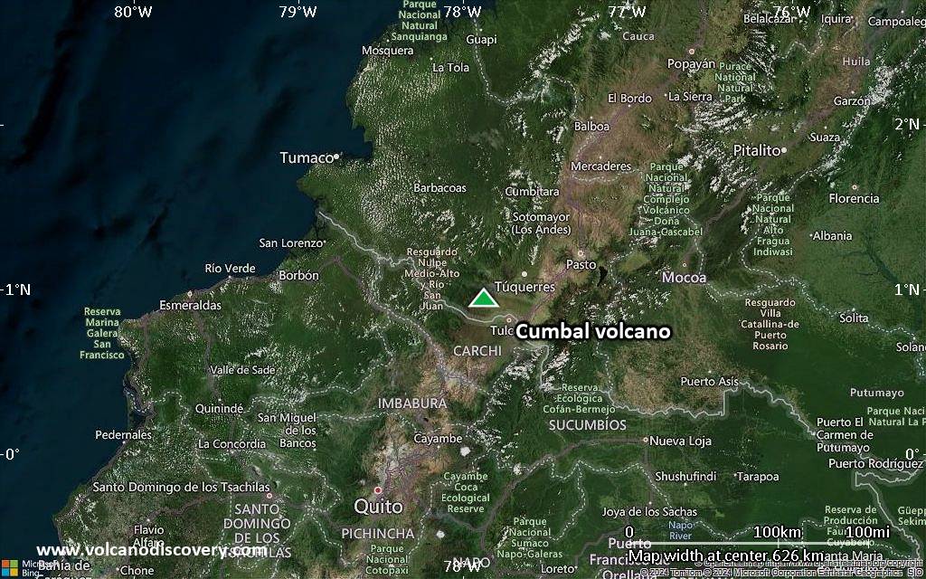
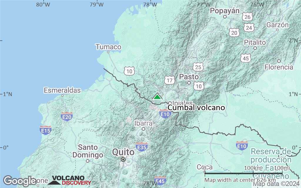
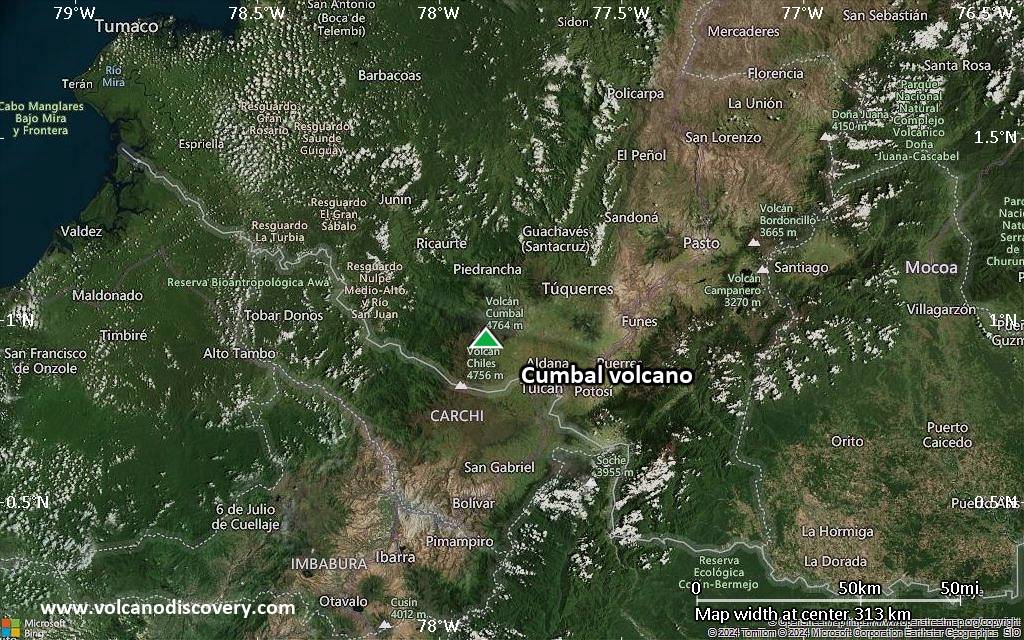
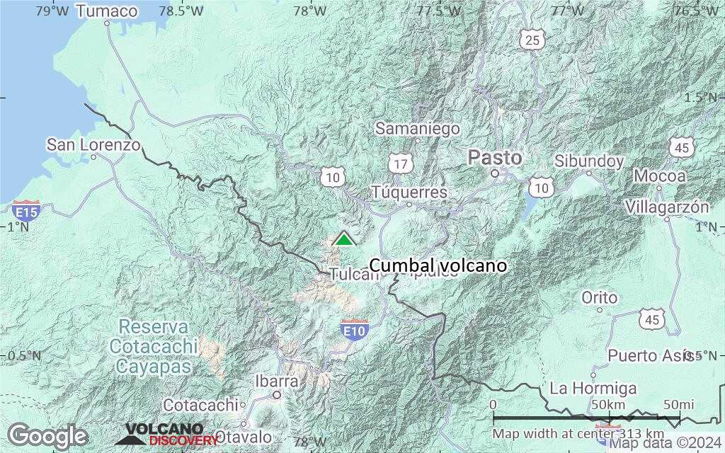
Cumbal volcano is an active glacier-capped stratovolcano in SW Colombia, located 25 km SW of Azufral volcano and 5.5 km NE of the town of Cumbal - Pueblo.
Cumbal is the southernmost active volcano of Colombia that has erupted in historic times.
A young lava dome occupies the 250-m-wide summit crater, and eruptions from the upper east flank produced a 6-km-long lava field. Thermal springs occur on the SE flanks.

[smaller] [larger]
Typical eruption style: effusive, mildly explosive
Cumbal volcano eruptions: 1926, 1877

Latest nearby earthquakes

Date and TimeMag / DepthDistance / Location
Jun 22, 08:17 am (GMT -5)
1.9

10 km
24 km (15 mi) to the SE Colombia-Ecuador, Region Fronteriza Info

Background

Cumbal volcano is elongated in a NE-SW direction and composed primarily of andesitic-dacitic lava flows, including many geologically young ones. Over time, the active vents seem to have migrated SW-wards:
The 2 active craters, the main crater on the NE side and Mundo Nuevo crater on the SW side have active fumaroles and sulphur deposits and built the summit ridge, while the oldest vents are located NNE of Cumbal and Mundo Nuevo craters.

Significant volcanic eruptions: Cumbal volcano

In the past 10,000 years, Cumbal has had at least 2 confirmed eruptions, all documented by historical records or observations.
The table below lists all known eruptions (date in bold face) of Cumbal volcano in historic times and during the past 10,000 years. Updates on the most recent volcanic activity of Cumbal can be found on the news page of Cumbal volcano.
DateNoteVEIDeathsDamage
1926 Dec 20 - Dec 21
Historical obs./docs.
2
1877 Dec
Historical obs./docs.
2
Remark:
Our list of volcanic eruptions closely follows the database of eruptions of the Smithsonian's Global Volcanism Project (GVP), the internationally most recognized data source for volcanic eruptions, but also includes significant eruptive episodes or related volcano events. "Volcanic eruptions" are usually to be understood as sequences of individual eruptive episodes that can follow each other, or even overlap (if several vents are involved), and can last many years, decades or even longer. For example, the current activity of Stromboli volcano is understood as a single eruption that has been ongoing since 1934.
Sources: NOAA National Centers for Environmental Information (NCEI), Global Significant Volcanic Eruptions Database. doi:10.7289/V5TD9V7K | Global Volcanism Project / Smithsonian Institution

Eruptions of Cumbal volcano


1988 volcanic unrest
Seismic unrest and an increase in fumarolic activity occurred in 1988, simultaneously with nearby Galeras volcano.

Cumbal Volcano FAQ

+When was the last eruption of Cumbal volcano?

+How often does Cumbal volcano erupt?

+How active is Cumbal volcano at present?

+When was the largest eruption of Cumbal volcano?

Latest satellite images

Cumbal satellite image sat1Cumbal satellite image sat2

Cumbal Volcano Maps

Below is a selection of maps showing the location and surroundings of the volcano at various resolutions based on aerial-imagery / terrain maps. Feel free to use them for non-commercial purposes on your blog or website as long as you credit them with a link back to this page (click to copy it).
Satellite/aerial-type map of Cumbal volcano (world scale)
Terrain-type map of Cumbal volcano (world scale)
Satellite/aerial-type map of Cumbal volcano (region scale large)
Terrain-type map of Cumbal volcano (region scale large)
Satellite/aerial-type map of Cumbal volcano (region scale medium)
Terrain-type map of Cumbal volcano (region scale medium)
Satellite/aerial-type map of Cumbal volcano (region scale small)
Terrain-type map of Cumbal volcano (region scale small)
Satellite/aerial-type map of Cumbal volcano (local scale large)
Terrain-type map of Cumbal volcano (local scale large)
Satellite/aerial-type map of Cumbal volcano (local scale medium)
Terrain-type map of Cumbal volcano (local scale medium)
Satellite/aerial-type map of Cumbal volcano (local scale small)
Terrain-type map of Cumbal volcano (local scale small)
Satellite/aerial-type map of Cumbal volcano (scale of 10s of km)
Terrain-type map of Cumbal volcano (scale of 10s of km)
Satellite/aerial-type map of Cumbal volcano (scale of 20-40 km)
Terrain-type map of Cumbal volcano (scale of 20-40 km)
Satellite/aerial-type map of Cumbal volcano (scale of approx. 10-20 km)
Terrain-type map of Cumbal volcano (scale of approx. 10-20 km)
Satellite/aerial-type map of Cumbal volcano (scale of 5-10 km)
Satellite/aerial-type map of Cumbal volcano (scale of few kilometers)
Volcanoes & Earthquakes - new app for Android
Guaranteed tours
1-17 Aug 2025: Volcanoes and Spices - Sulawesi/Halmahera (Indonesia)
1-14 Oct 2025: Desert, salt and volcanoes - Danakil desert (Ethiopia)
4-12 Oct 2025: From Stromboli to Etna - Sicily and Eolian Islands (Italy)
6-21 Oct 2025: From Krakatau to Bali - Java (Indonesia)
3-19 Nov 2025: Volcanoes and Spices - Sulawesi/Halmahera (Indonesia)
= spaces available   = guaranteed   = few spaces left   = booked out
Fri, 30 May 2014, 09:55

Cumbal volcano (Colombia) activity update

Seismic unrest continues at the volcano, still on alert status Yellow, with little variation over the past months. The Pasto volcano observatory reported a 50% increase in earthquakes during the past week. Read all
Wed, 22 Jan 2014, 09:02

Cumbal volcano (Colombia) activity update: continuing small earthquake swarms

Seismic unrest at weak energy levels continues. 5 small earthquake swarms were recorded over the past week, the most prominent having 213 events up to a maximum of magnitude 1.9 during 5 hours on 19 Jan. Most quakes are associated with rock fracturing at shallow depths (3 km) beneath the La Plazuela crater. Pasto reports no unusual surface activity at the volcano. ... Read all

On this page:

Try our free app!
Volcanoes & Earthquakes - new app for Android
Android | iOS version

More on VolcanoDiscovery

Why is there advertising on this site?

Support us - Help us upgrade our services!

We truly love working to bring you the latest volcano and earthquake data from around the world. Maintaining our website and our free apps does require, however, considerable time and resources.
We need financing to increase hard- and software capacity as well as support our editor team. We're aiming to achieve uninterrupted service wherever an earthquake or volcano eruption unfolds, and your donations can make it happen! Every donation will be highly appreciated. If you find the information useful and would like to support our team in integrating further features, write great content, and in upgrading our soft- and hardware, please make a donation (PayPal).

Planned features:Thanks to your past donations, these features have been added recently:
Download and Upgrade the Volcanoes & Earthquakes app to get one of the fastest seismic and volcano alerts online:
Android | IOS
Thank you!
Sources: VolcanoDiscovery / VolcanoAdventures and other sources as noted.
Use of material: Most text and images on our websites are owned by us. Re-use is generally not permitted without authorization. Contact us for licensing rights.
Volcanoes & Earthquakes
VolcanoDiscovery Home
Volcanoes | Earthquakes | Photos | Volcano News | | Shop | App
Adventure & Study Travel
Tours to Volcanoes and Volcanic Areas: walking tours, photo tours, study tours
Tours & Dates | FAQ | About us
Get our newsletter!
Company info
Contact | Legal info | Terms & conditions
Follow us
Follow us on facebook Follow us on Instagram Follow us on Bluesky Follow us on Twitter Visit our Youtube channel
EN | DE | EL | ES | FR | IT | RU
VolcanoDiscovery GmbH, Germany, Reg. nr.: HRB 103744, EU Tax Id: DE 297 465 123 owned and created by
Dr. Tom Pfeiffer, volcanologist, volcano photographer, tour organizer member of
IAVCEI
IAVCEI
Vulkanologische Gesellschaft
Volcanological Society
Ecotourism Greece
Ecotourism Greece
RUV insurance
Insured by R+V
VolcanoDiscovery © 2004- All Rights Reserved | Privacy - Cookie Settings