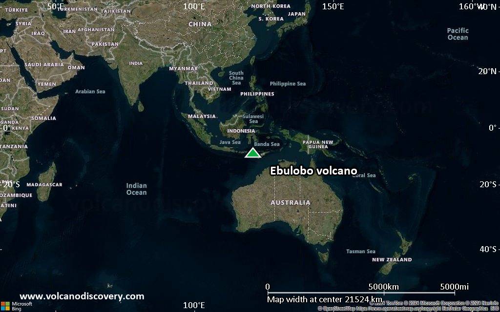
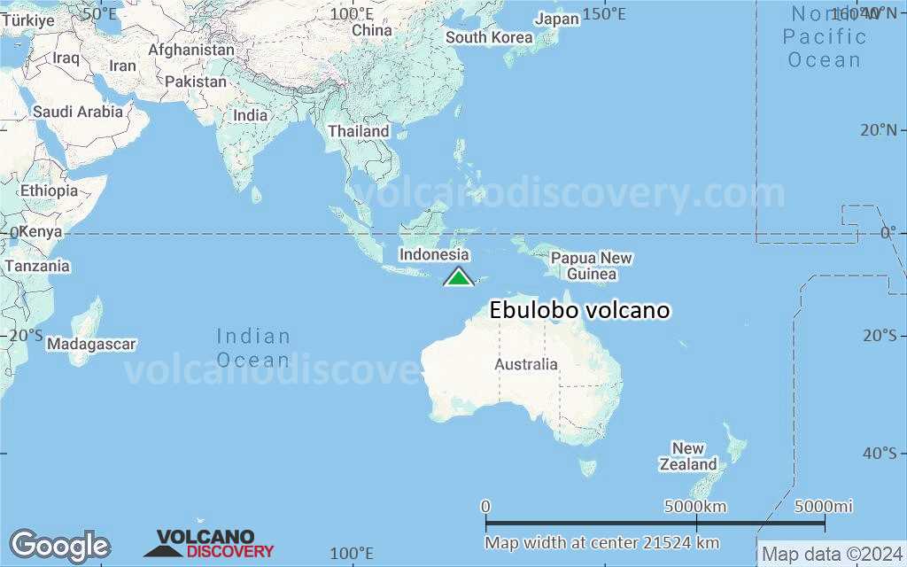
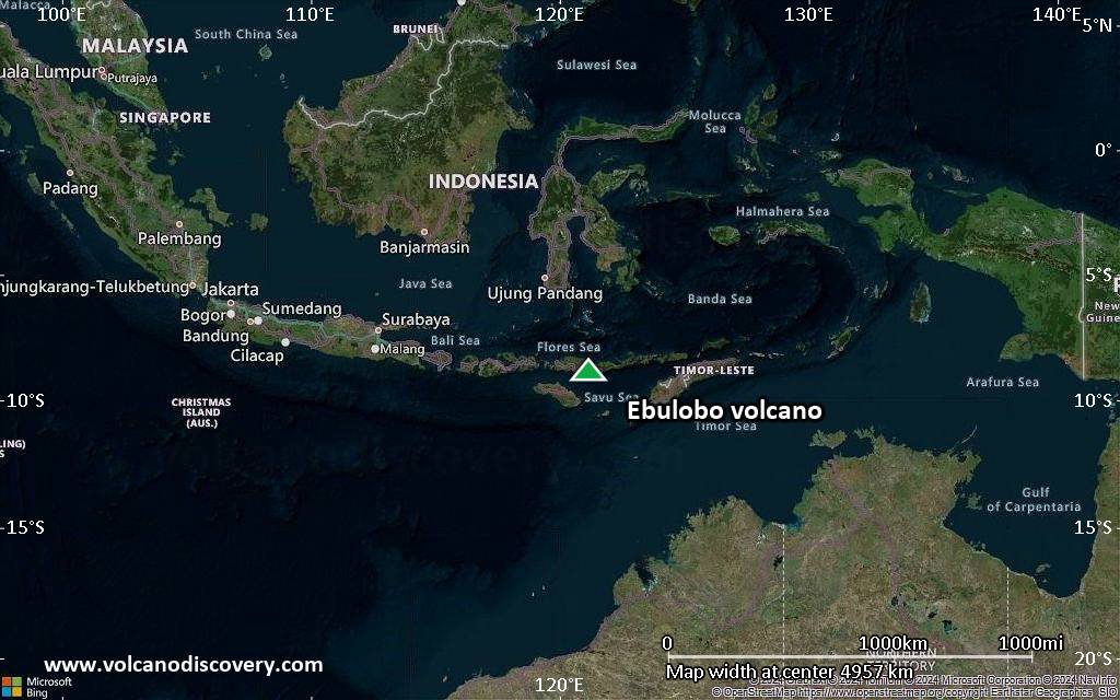
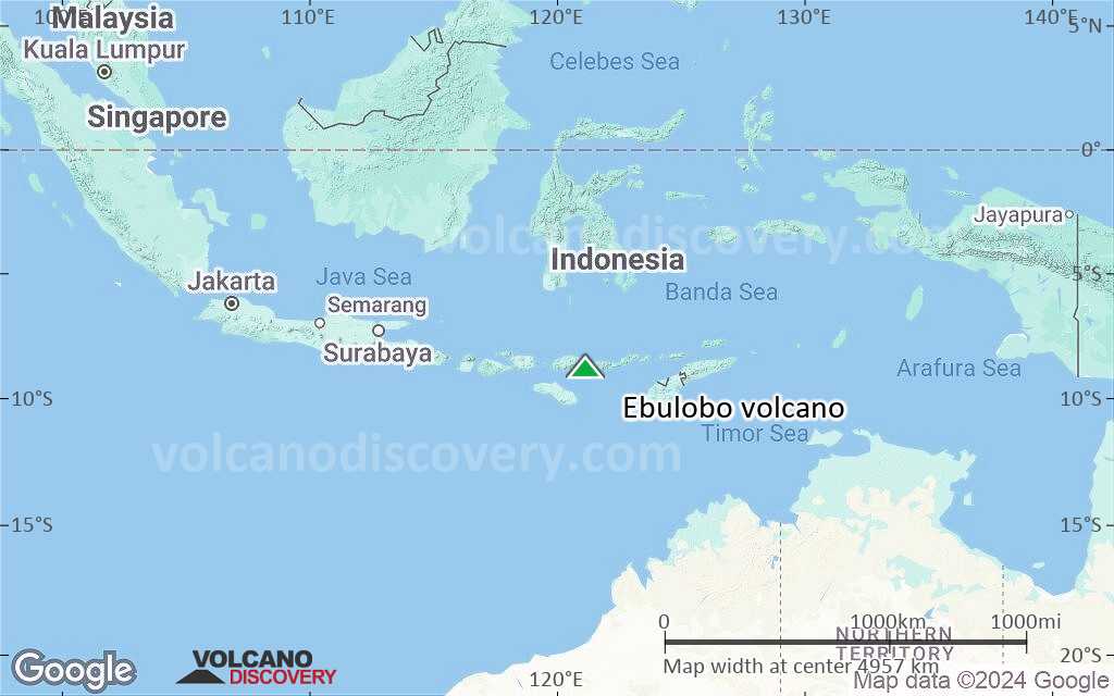
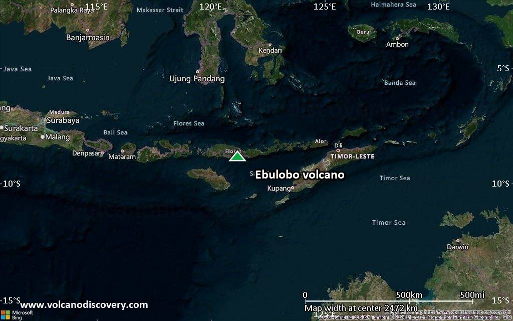
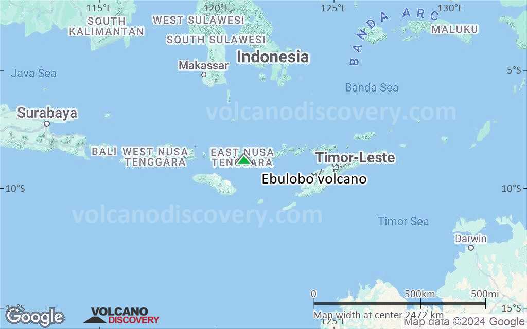
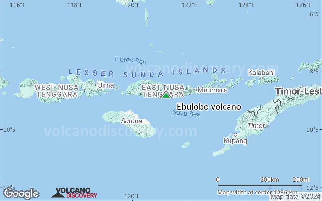
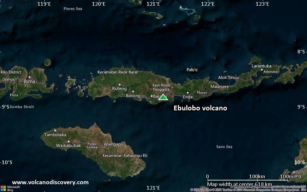
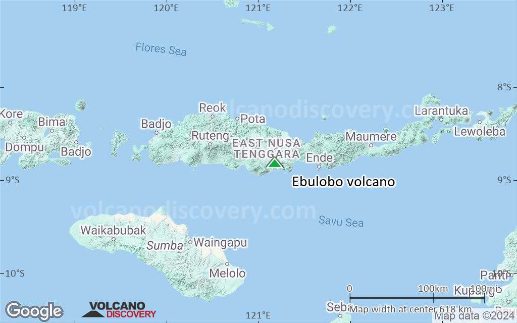
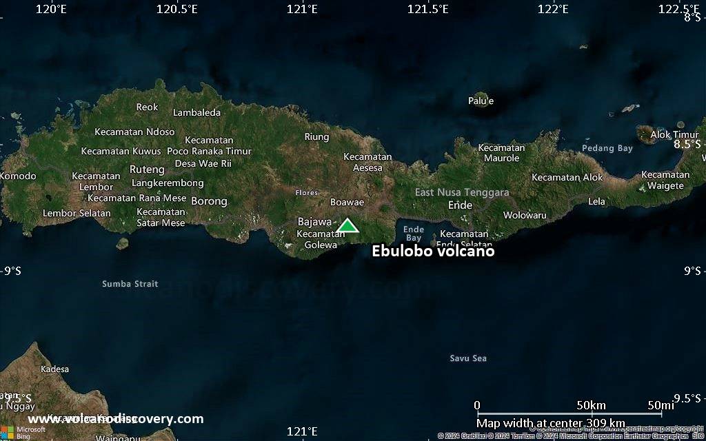
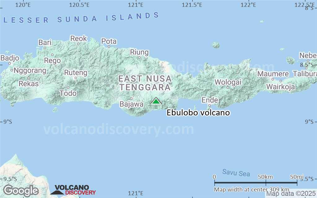
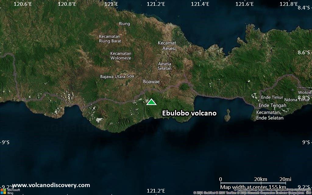
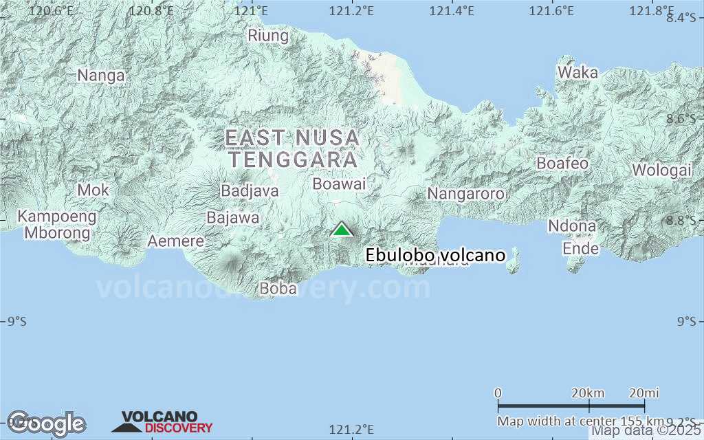
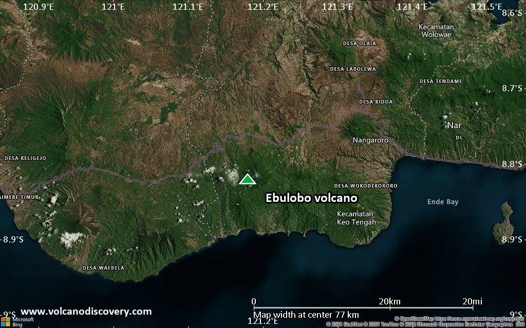
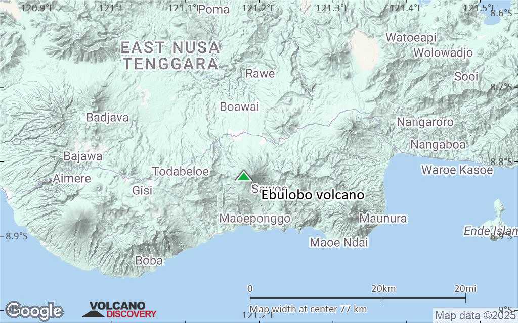
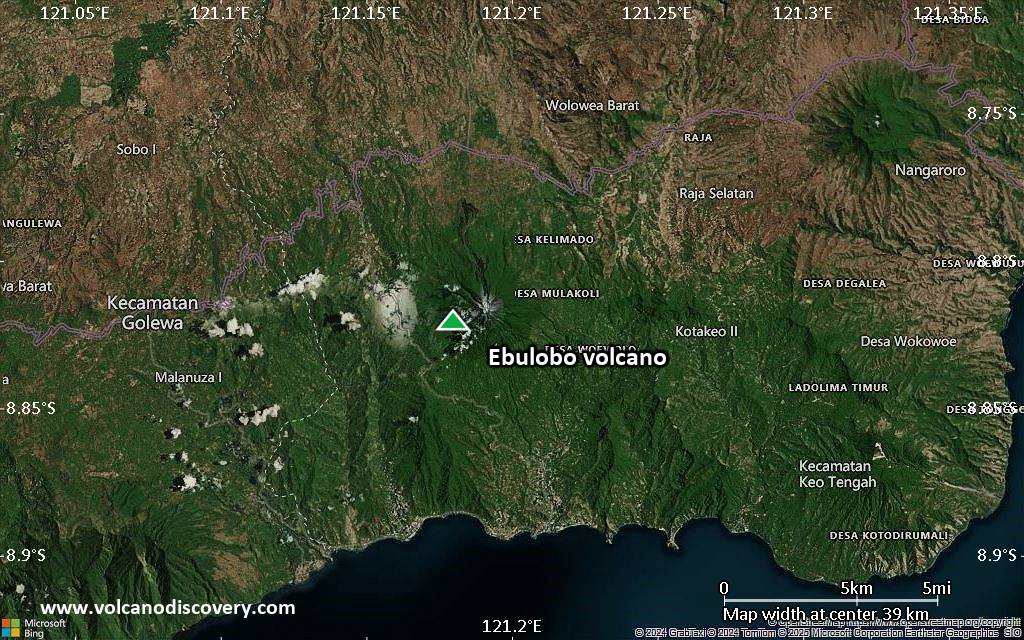
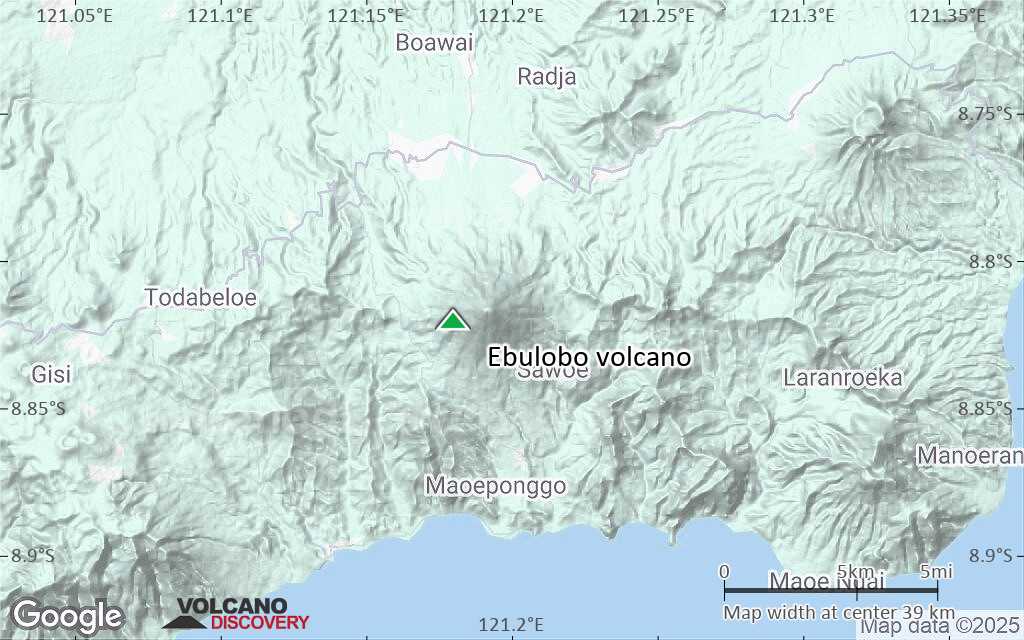
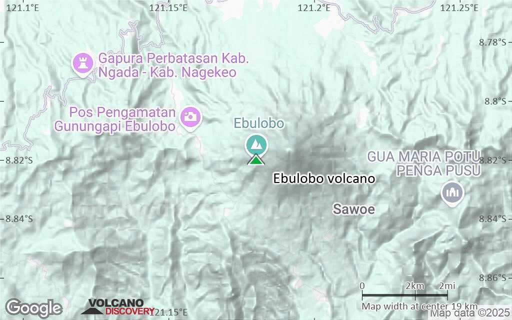
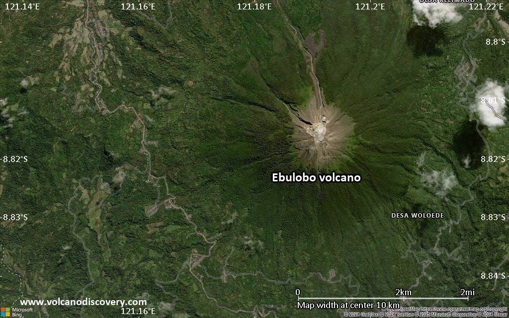
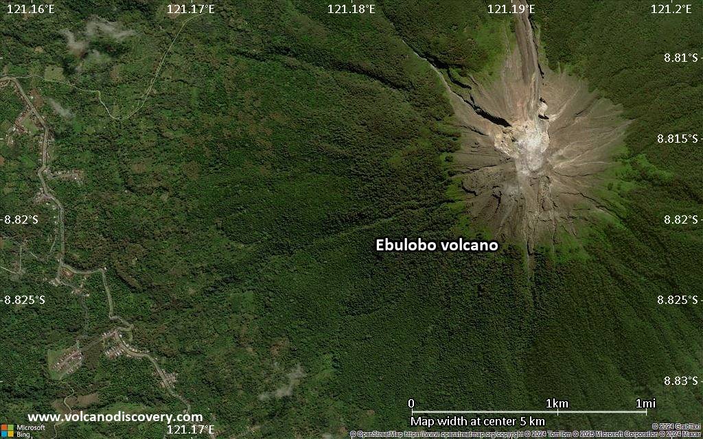
| RSS | EN | DE | EL | ES | FR | IT | RU

Ebulobo Volcano

Updated: Jul 5, 2025 02:05 GMT -
stratovolcano
Flores (Indonesia), -8.82°S / 121.18°E
Summit height: 2124 m / 6,968 ft
Current status: normal or dormant (1 out of 5)
Last update: 16 Dec 2021 (Smithsonian / USGS Weekly Volcanic Activity Report)

Ebulobo (also called Amburombu or Keo Peak), is a symmetrical stratovolcano in central Flores Island. It has a flat summit lava dome and contains a 250 m summit crater, breached on 3 sides. In 1830, a lava flow (known as Watu Keli lava flow) descended from the northern breach on the summit and reached 4 km length.
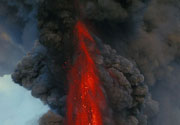
A small summit eruption occurred on 28th February 1969, where "fire", steam and ash were reported.

[smaller] [larger]
Typical eruption style: Explosive and effusive (lava domes)
Ebulobo volcano eruptions: 1969, 1941, 1938, 1924, 1910, 1888, 1830

Latest nearby earthquakes

Date and TimeMag / DepthDistance / Location

Significant volcanic eruptions: Ebulobo volcano

In the past 10,000 years, Ebulobo has had at least 7 confirmed eruptions, all documented by historical records or observations.
There is one uncertain or discredited eruption in 2017 from Ebulobo volcano.
The table below lists all known eruptions (date in bold face) of Ebulobo volcano in historic times and during the past 10,000 years. Updates on the most recent volcanic activity of Ebulobo can be found on the news page of Ebulobo volcano.
DateNoteVEIDeathsDamage
?? 2017 Mar 12
Uncertain Eruption
Historical obs./docs.
?
1969 Feb 27
Historical obs./docs.
2?
1941 Aug 23 ±8 d.
Historical obs./docs.
0?
1938 May - Jun
Historical obs./docs.
?
1924 Nov
Historical obs./docs.
2
1910 Apr 10
Historical obs./docs.
2
1888
Historical obs./docs.
2
1830
Historical obs./docs.
2
Remark:
Our list of volcanic eruptions closely follows the database of eruptions of the Smithsonian's Global Volcanism Project (GVP), the internationally most recognized data source for volcanic eruptions, but also includes significant eruptive episodes or related volcano events. "Volcanic eruptions" are usually to be understood as sequences of individual eruptive episodes that can follow each other, or even overlap (if several vents are involved), and can last many years, decades or even longer. For example, the current activity of Stromboli volcano is understood as a single eruption that has been ongoing since 1934.
Sources: NOAA National Centers for Environmental Information (NCEI), Global Significant Volcanic Eruptions Database. doi:10.7289/V5TD9V7K | Global Volcanism Project / Smithsonian Institution

Ebulobo Volcano FAQ

+When was the last eruption of Ebulobo volcano?

+How often does Ebulobo volcano erupt?

+How active is Ebulobo volcano at present?

+When was the largest eruption of Ebulobo volcano?

Latest satellite images

Ebulobo satellite image sat1Ebulobo satellite image sat2

Ebulobo Volcano Maps

Below is a selection of maps showing the location and surroundings of the volcano at various resolutions based on aerial-imagery / terrain maps. Feel free to use them for non-commercial purposes on your blog or website as long as you credit them with a link back to this page (click to copy it).
Satellite/aerial-type map of Ebulobo volcano (world scale)
Terrain-type map of Ebulobo volcano (world scale)
Satellite/aerial-type map of Ebulobo volcano (region scale large)
Terrain-type map of Ebulobo volcano (region scale large)
Satellite/aerial-type map of Ebulobo volcano (region scale medium)
Terrain-type map of Ebulobo volcano (region scale medium)
Satellite/aerial-type map of Ebulobo volcano (region scale small)
Terrain-type map of Ebulobo volcano (region scale small)
Satellite/aerial-type map of Ebulobo volcano (local scale large)
Terrain-type map of Ebulobo volcano (local scale large)
Satellite/aerial-type map of Ebulobo volcano (local scale medium)
Terrain-type map of Ebulobo volcano (local scale medium)
Satellite/aerial-type map of Ebulobo volcano (local scale small)
Terrain-type map of Ebulobo volcano (local scale small)
Satellite/aerial-type map of Ebulobo volcano (scale of 10s of km)
Terrain-type map of Ebulobo volcano (scale of 10s of km)
Satellite/aerial-type map of Ebulobo volcano (scale of 20-40 km)
Terrain-type map of Ebulobo volcano (scale of 20-40 km)
Satellite/aerial-type map of Ebulobo volcano (scale of approx. 10-20 km)
Terrain-type map of Ebulobo volcano (scale of approx. 10-20 km)
Satellite/aerial-type map of Ebulobo volcano (scale of 5-10 km)
Satellite/aerial-type map of Ebulobo volcano (scale of few kilometers)
Volcanoes & Earthquakes - new app for Android
Guaranteed tours
1-17 Aug 2025: Volcanoes and Spices - Sulawesi/Halmahera (Indonesia)
1-14 Oct 2025: Desert, salt and volcanoes - Danakil desert (Ethiopia)
4-12 Oct 2025: From Stromboli to Etna - Sicily and Eolian Islands (Italy)
6-21 Oct 2025: From Krakatau to Bali - Java (Indonesia)
3-19 Nov 2025: Volcanoes and Spices - Sulawesi/Halmahera (Indonesia)
= spaces available   = guaranteed   = few spaces left   = booked out
Wed, 8 Mar 2017, 06:00

Ebulobo volcano (Flores Island, Indonesia) - Smithsonian / USGS Weekly Volcanic Activity Report for 8 March-14 March 2017 (New Activity / Unrest)

Based on PVMBG observations, the Darwin VAAC reported that on 12 March an ash plume from Ebulobo rose to an altitude of 3 km (10,000 ft) a.s.l. (800 m above the summit) and drifted W. ... Read all
Mon, 26 Aug 2013, 15:20

Ebulobo volcano (Flores, Indonesia): alert level raised

The alert level was raised from 1 (normal) to 2 (watch) (on a scale of 1-4) on 23 August, following detection of volcanic tremor as well as the observation of incandescence and increased degassing from the volcano's summit. ... Read all

On this page:

Try our free app!
Volcanoes & Earthquakes - new app for Android
Android | iOS version

More on VolcanoDiscovery

Why is there advertising on this site?

Support us - Help us upgrade our services!

We truly love working to bring you the latest volcano and earthquake data from around the world. Maintaining our website and our free apps does require, however, considerable time and resources.
We need financing to increase hard- and software capacity as well as support our editor team. We're aiming to achieve uninterrupted service wherever an earthquake or volcano eruption unfolds, and your donations can make it happen! Every donation will be highly appreciated. If you find the information useful and would like to support our team in integrating further features, write great content, and in upgrading our soft- and hardware, please make a donation (PayPal).

Planned features:Thanks to your past donations, these features have been added recently:
Download and Upgrade the Volcanoes & Earthquakes app to get one of the fastest seismic and volcano alerts online:
Android | IOS
Thank you!
Sources: VolcanoDiscovery / VolcanoAdventures and other sources as noted.
Use of material: Most text and images on our websites are owned by us. Re-use is generally not permitted without authorization. Contact us for licensing rights.
Volcanoes & Earthquakes
VolcanoDiscovery Home
Volcanoes | Earthquakes | Photos | Volcano News | | Shop | App
Adventure & Study Travel
Tours to Volcanoes and Volcanic Areas: walking tours, photo tours, study tours
Tours & Dates | FAQ | About us
Get our newsletter!
Company info
Contact | Legal info | Terms & conditions
Follow us
Follow us on facebook Follow us on Instagram Follow us on Bluesky Follow us on Twitter Visit our Youtube channel
EN | DE | EL | ES | FR | IT | RU
VolcanoDiscovery GmbH, Germany, Reg. nr.: HRB 103744, EU Tax Id: DE 297 465 123 owned and created by
Dr. Tom Pfeiffer, volcanologist, volcano photographer, tour organizer member of
IAVCEI
IAVCEI
Vulkanologische Gesellschaft
Volcanological Society
Ecotourism Greece
Ecotourism Greece
RUV insurance
Insured by R+V
VolcanoDiscovery © 2004- All Rights Reserved | Privacy - Cookie Settings