Fantale Volcano
Updated: May 1, 2025 18:35 GMT -
stratovolcano
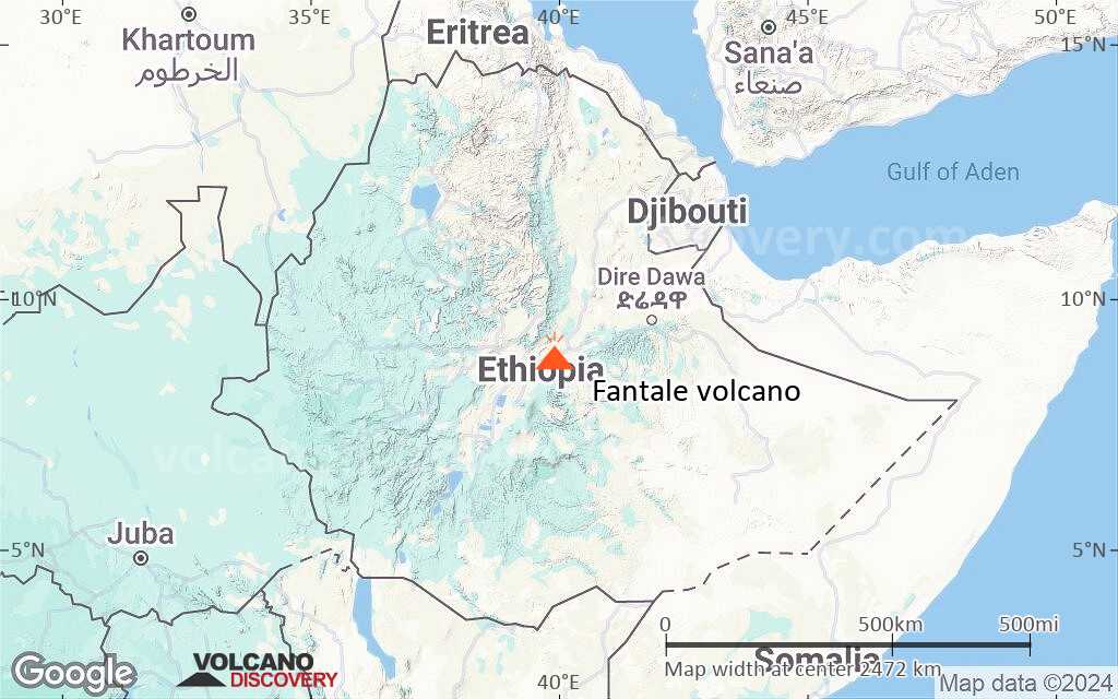
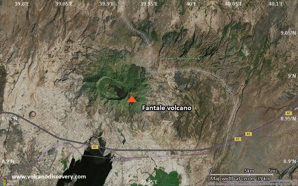
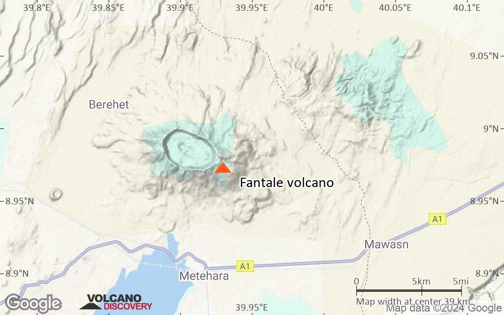
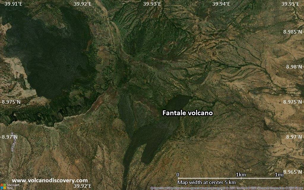
Ethiopia, 8.98°N / 39.93°E 
Summit height: 2007 m / 6,585 ft
Current status: minor activity or eruption warning (3 out of 5)
Last update: 22 Jan 2025 (Smithsonian / USGS Weekly Volcanic Activity Report)

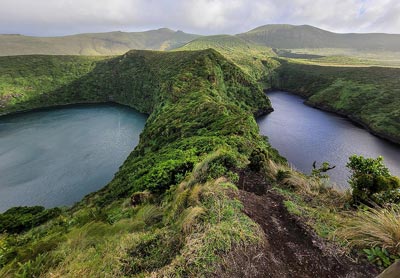
Fantale volcano's caldera
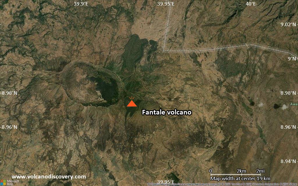
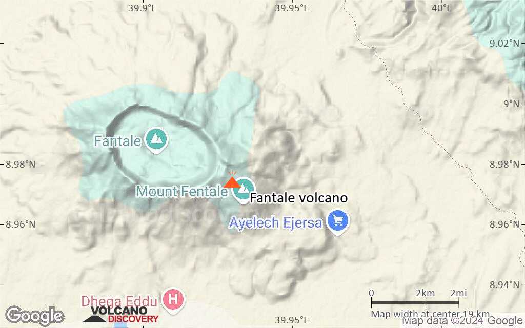
Fantale (also spelled Fantalle, Fentale, or Fantala) is a large stratovolcano in the Ethiopian Rift Valley west of Lake Awash. It contains a large spectacular summit caldera.
Fantale's historic eruptions produced lava flows that descended to the east side into the valley and lake Awash. An eruption during the 13th century destroyed a town and church located south of the volcano. In 1820, a 4 km long fissure eruption occured on the east flank and sent basaltic lava flows both into the caldera and outside, reaching the bottom of the Rift valley.
[smaller] [larger]
Fantale volcano eruptions: 1820 (?), 1250 (+-50y)
Latest nearby earthquakes
| Date and Time | Mag / Depth | Distance / Location | |||
|---|---|---|---|---|---|
Background
Fantale is known for welded ash flows thought to correspond to violent eruptions that were followed by the formation of its 2.5 x 4.5 km summit caldera surrounded by steep walls up to 500 m high. The volcano was built on a WNW-ESE-trending orientation perpendicular to the axis of Ethiopian Rift and flank vents exist on the same line.Fantale Volcano Photos
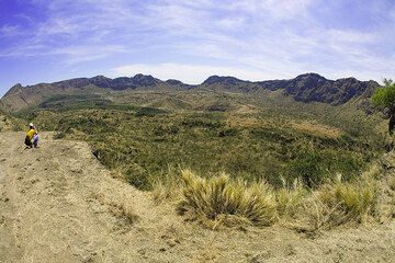
Fantale is a large stratovolcano on the floor of the Ethiopian Rift Valley, truncated by a 6km wide caldera, which shows numerous deposits of young lava eruptions. The la...
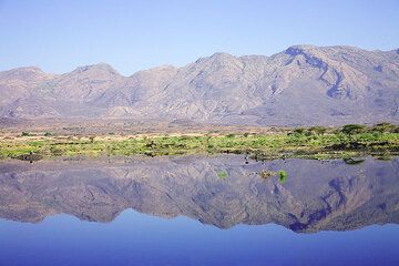
Lake Awash at the bottom of the RIft Valley mirrors Fantale volcano. (Photo: Tom Pfeiffer)
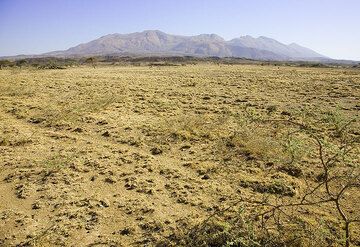
The truncated cone of Fantale volcano. (Photo: Tom Pfeiffer)
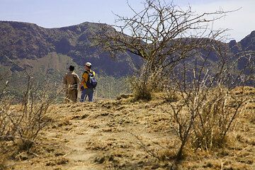
1700 m a.s.l. Finally,- Franz is the first to arrive on the rim and get a vew of the large caldera of Fantale volcano. (Photo: Tom Pfeiffer)
Significant volcanic eruptions: Fantale volcano
In the past 10,000 years, Fantale has had at least 2 confirmed eruptions, all documented by historical records or observations.
The table below lists all known eruptions (date in bold face) of Fantale volcano in historic times and during the past 10,000 years. Updates on the most recent volcanic activity of Fantale can be found on the news page of Fantale volcano.
| Date | Note | VEI | Deaths | Damage | |
|---|---|---|---|---|---|
| Caldera floor and SW flank Historical obs./docs. | ? | ||||
| 1250 AD (eruption | Historical obs./docs. | 0 | light | ||
Historical obs./docs. | ? | ||||
Remark:
Our list of volcanic eruptions closely follows the database of eruptions of the Smithsonian's Global Volcanism Project (GVP), the internationally most recognized data source for volcanic eruptions, but also includes significant eruptive episodes or related volcano events. "Volcanic eruptions" are usually to be understood as sequences of individual eruptive episodes that can follow each other, or even overlap (if several vents are involved), and can last many years, decades or even longer. For example, the current activity of Stromboli volcano is understood as a single eruption that has been ongoing since 1934.
Sources: NOAA National Centers for Environmental Information (NCEI), Global Significant Volcanic Eruptions Database. doi:10.7289/V5TD9V7K | Global Volcanism Project / Smithsonian Institution
Fantale Volcano FAQ
+When was the last eruption of Fantale volcano?
The last confirmed eruption of Fantale occurred in 1820.
+How often does Fantale volcano erupt?
Since 1250 AD, Fantale volcano has had at least 2 historically documented eruptions. This means that it erupts on average every 388 years.
Latest satellite images

Fantale Volcano Maps
Below is a selection of maps showing the location and surroundings of the volcano at various resolutions based on aerial-imagery / terrain maps. Feel free to use them for non-commercial purposes on your blog or website as long as you credit them with a link back to this page (click to copy it).

Satellite/aerial-type map of Fantale volcano (world scale)

Terrain-type map of Fantale volcano (world scale)

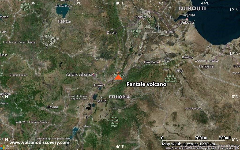
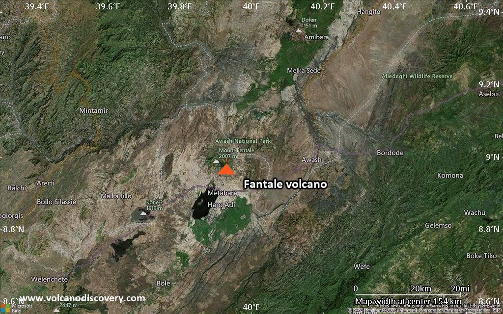
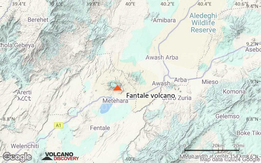
Satellite/aerial-type map of Fantale volcano (region scale large)

Terrain-type map of Fantale volcano (region scale large)

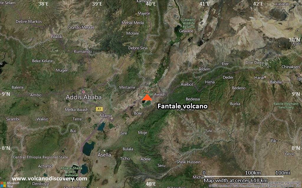
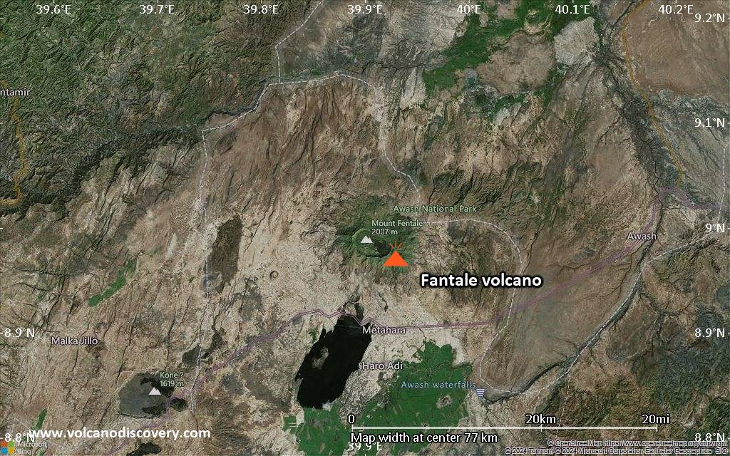
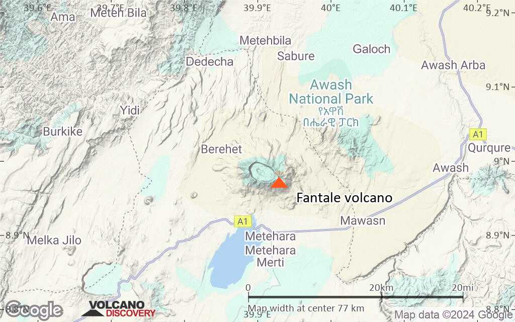
Satellite/aerial-type map of Fantale volcano (region scale medium)
Terrain-type map of Fantale volcano (region scale medium)
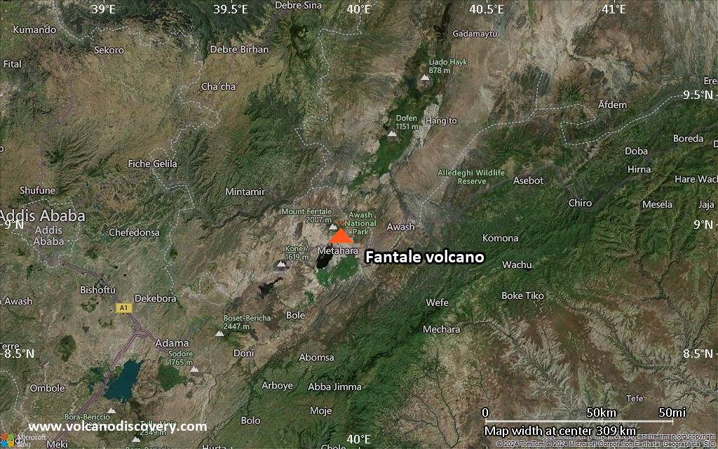
Satellite/aerial-type map of Fantale volcano (region scale small)

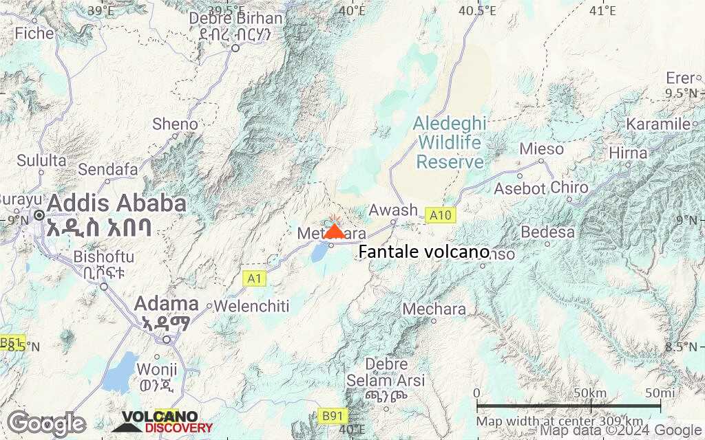
Terrain-type map of Fantale volcano (region scale small)
Satellite/aerial-type map of Fantale volcano (local scale large)

Terrain-type map of Fantale volcano (local scale large)
Satellite/aerial-type map of Fantale volcano (local scale medium)
Terrain-type map of Fantale volcano (local scale medium)
Satellite/aerial-type map of Fantale volcano (local scale small)
Terrain-type map of Fantale volcano (local scale small)
Satellite/aerial-type map of Fantale volcano (scale of 10s of km)
Terrain-type map of Fantale volcano (scale of 10s of km)
Satellite/aerial-type map of Fantale volcano (scale of 20-40 km)
Terrain-type map of Fantale volcano (scale of 20-40 km)
Satellite/aerial-type map of Fantale volcano (scale of approx. 10-20 km)
Terrain-type map of Fantale volcano (scale of approx. 10-20 km)

Satellite/aerial-type map of Fantale volcano (scale of 5-10 km)
Satellite/aerial-type map of Fantale volcano (scale of few kilometers)