Fuego Volcano
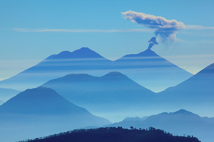
Fuego, one of Central America's most active volcanoes, is one of three large stratovolcanoes overlooking Guatemala's former capital, Antigua. It typically has strombolian activity and sometimes phases of intense lava fountaining, producing tall ash plumes and dangerous pyroclastic flows.
Fuego volcano eruptions: 1581, 1585, 1586, 1587, 1614, 1617, 1620, 1623, 1629, 1679(?), 1685, 1686, 1689(?), 1699, 1702, 1705, 1706, 1709(?), 1710,1717,1730, 1732, 1737, 1751(?), 1765(?), 1773(?), 1799, 1826, 1829, 1850(?), 1852(?), 1855, 1856, 1857, 1860, 1861(?), 1867(?), 1880, 1896, 1932, 1944, 1949, 1953, 1955, 1957, 1962, 1963, 1966, 1967, 1971, 1973, 1974, 1975, 1977, 1987, 1999, 2002 - ongoing
Latest nearby earthquakes
| Date and Time | Mag / Depth | Distance / Location | |||
|---|---|---|---|---|---|
| Jul 27, 06:15 pm (Universal Time) | 2.0 2 km | 26 km (16 mi) to the E | Info | ||
| Friday, July 25, 2025 GMT (2 quakes) | |||||
| Jul 25, 02:20 am (Universal Time) | 1.9 10 km | 23 km (14 mi) to the E | Info | ||
| Jul 24, 07:11 pm (GMT -6) | 3.5 6 km | 24 km (15 mi) to the E | Info | ||
| Wednesday, July 23, 2025 GMT (4 quakes) | |||||
| Jul 23, 07:12 pm (Universal Time) | 2.5 2 km | 28 km (17 mi) to the E | Info | ||
| Jul 23, 12:12 pm (Universal Time) | 2.5 2 km | 20 km (13 mi) to the E | Info | ||
| Jul 23, 03:41 am (GMT -6) | 2.4 4 km | 19 km (12 mi) to the NE | Info | ||
| Jul 22, 07:40 pm (GMT -6) | 2.8 2 km | 11 km (6.9 mi) to the SE | Info | ||
| Tuesday, July 22, 2025 GMT (1 quake) | |||||
| Jul 22, 02:09 am (GMT -6) | 3.6 3 km | 21 km (13 mi) to the NE | Info | ||
| Monday, July 21, 2025 GMT (3 quakes) | |||||
| Jul 21, 11:34 am (GMT -6) | 3.1 2 km | 15 km (9.3 mi) to the NE | Info | ||
Background
Collapse of the ancestral Meseta volcano about 8,500 years ago produced a massive debris avalanche that traveled about 50 km onto the Pacific coastal plain. Growth of the modern Fuego volcano followed, continuing the southward migration of volcanism that began at Acatenango, the northern twin volcano of Fuego. Frequent vigorous historical eruptions have been recorded since 1524 and have produced major ashfalls, along with occasional pyroclastic flows and lava flows. The last major explosive eruption from Fuego took place in 1974, producing spectacular pyroclastic flows visible from Antigua.Fuego Volcano Photos
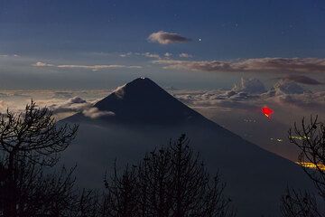
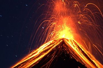
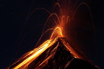
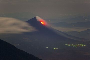
Significant volcanic eruptions: Fuego volcano
Additionally, there are 18 uncertain or discredited eruptions from Fuego volcano.
| Date | Note | VEI | Deaths | Damage | |
|---|---|---|---|---|---|
Historical obs./docs. | 3 | ||||
| 2018 Jun 3 (eruption | Historical obs./docs. | 2 | 201 | very heavy | Info |
| 2017 Jun 6 (eruption | Historical obs./docs. | 2 | moderate | Info | |
Historical obs./docs. | 2 | ||||
| 1999 May 21 (eruption | Historical obs./docs. | 2 | Info | ||
Historical obs./docs. | 1 | ||||
Historical obs./docs. | 2 | ||||
Historical obs./docs. | 1 | ||||
Historical obs./docs. | 1 | ||||
Historical obs./docs. | 4 | ||||
| 1974 Oct 10 (eruption | Historical obs./docs. | 4 | 1-50 (*) | moderate | Info |
Historical obs./docs. | 2 | ||||
Historical obs./docs. | 3 | ||||
| 1971 Sep 14 (eruption | Historical obs./docs. | 3 | 10 | Info | |
Historical obs./docs. | 2 | ||||
Historical obs./docs. | 3 | ||||
Historical obs./docs. | 3 | ||||
Historical obs./docs. | 3 | ||||
| 1963 Sep 28 (eruption | Historical obs./docs. | 3 | 7 | Info | |
Historical obs./docs. | 3 | ||||
Historical obs./docs. | 3 | ||||
Historical obs./docs. | 1 | ||||
Historical obs./docs. | 3 | ||||
Historical obs./docs. | 2 | ||||
Historical obs./docs. | 2 | ||||
Historical obs./docs. | 2 | ||||
Historical obs./docs. | 4 | ||||
| 1932 Jan 21 (eruption | Historical obs./docs. | 4 | 1-50 (*) | Info | |
Fuego Volcano FAQ
+When was the last eruption of Fuego volcano?
The last confirmed eruption of Fuego began in 2002 and is continuing (as of July 2025).
+How often does Fuego volcano erupt?
Since 1524 AD, Fuego volcano has had at least 55 historically documented eruptions. This means that it erupts on average every 9.1 years.
Many eruptions of Fuego have lasted more than one year. In total, the volcano has been in eruption during 82 out of 501 years until now. In other words, Fuego has been active at least one in 6.1 years on average. Note that this value is likely an underestimate, because the known history of eruptions from Fuego is likely incomplete, especially further back in time.
+How active is Fuego volcano at present?
Fuego volcano is very active: Since 1900, it has had 45 eruptions, and been active during 45 years out of 126 as of now. This means, Fuego has been in eruption one in 2.8 years on average. The latest eruption is still continuing at present.
+When was the largest eruption of Fuego volcano?
The largest eruption of Fuego volcano in historic times occurred in 1974. It ranks as a sub-plinian eruption with a magnitude 4 on the VEI (Volcanic Explosivity Index) scale.
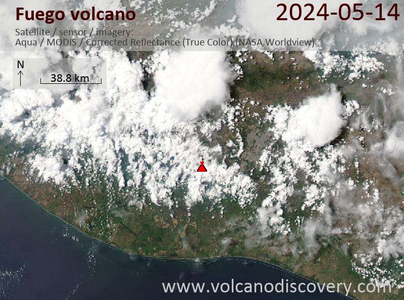
Latest satellite images
Price $ 3590
Fuego Volcano Maps


