


Gabillema Volcano
Updated: Jul 1, 2025 23:43 GMT -
Stratovolcano
Ethiopia, 11.08°N / 41.27°E 
Summit height: 1459 m / 4,787 ft
Current status: normal or dormant (1 out of 5)
[smaller] [larger]
Gabillema volcano eruptions: unknown, no recent eruptions
Latest nearby earthquakes
| Date and Time | Mag / Depth | Distance / Location | |||
|---|---|---|---|---|---|
Background
Gabillema is a rhyolitic stratovolcano along the axis of the Addado graben. The volcano was constructed at the intersection of the central Afar rift zone with the northern end of the NE-SW-trending Ethiopian rift. Rhyolitic lava domes are located on the flanks of the volcano, and a 5 x 17 km basaltic lava field that covers the Ado Bad plain north of the volcano originated from a broad area of fissure vents and spatter cones on the north side of Gabillema volcano. Young lava flows also occur south and east of the volcano, the latter along E-W-trending fissures. This period of rejuvenation, perhaps not directly related to Gabillema, has included rhyolitic as well as basaltic volcanism. For the Ethiopian rift south of 11 degrees north, official names from the new Ethiopian Geological Survey's 1:250,000 topo maps have replaced earlier names published in the geological literature.---
Smithsonian / GVP volcano information
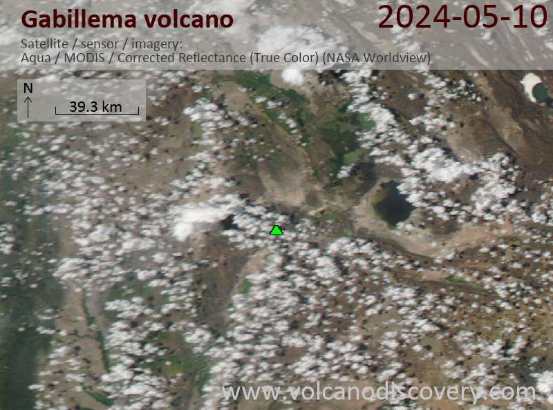
Latest satellite images
Gabillema Volcano Maps
Below is a selection of maps showing the location and surroundings of the volcano at various resolutions based on aerial-imagery / terrain maps. Feel free to use them for non-commercial purposes on your blog or website as long as you credit them with a link back to this page (click to copy it).

Satellite/aerial-type map of Gabillema volcano (world scale)

Terrain-type map of Gabillema volcano (world scale)

Satellite/aerial-type map of Gabillema volcano (region scale large)

Terrain-type map of Gabillema volcano (region scale large)

Satellite/aerial-type map of Gabillema volcano (region scale medium)

Terrain-type map of Gabillema volcano (region scale medium)

Satellite/aerial-type map of Gabillema volcano (region scale small)

Terrain-type map of Gabillema volcano (region scale small)

Satellite/aerial-type map of Gabillema volcano (local scale large)

Terrain-type map of Gabillema volcano (local scale large)

Satellite/aerial-type map of Gabillema volcano (local scale medium)

Terrain-type map of Gabillema volcano (local scale medium)

Satellite/aerial-type map of Gabillema volcano (local scale small)

Terrain-type map of Gabillema volcano (local scale small)

Satellite/aerial-type map of Gabillema volcano (scale of 10s of km)

Terrain-type map of Gabillema volcano (scale of 10s of km)

Satellite/aerial-type map of Gabillema volcano (scale of 20-40 km)

Terrain-type map of Gabillema volcano (scale of 20-40 km)

Satellite/aerial-type map of Gabillema volcano (scale of approx. 10-20 km)

Terrain-type map of Gabillema volcano (scale of approx. 10-20 km)

Satellite/aerial-type map of Gabillema volcano (scale of 5-10 km)

Satellite/aerial-type map of Gabillema volcano (scale of few kilometers)


