Gough Island Volcano
Updated: Jul 5, 2025 16:49 GMT -
Shield
South Atlantic, UK, -40.32°S / -9.93°W 
Summit height: 910 m / 2986 ft
Current status: (probably) extinct (0 out of 5)
[smaller] [larger]
Gough Island volcano eruptions: None during the past 10,000 years
Less than few million years ago (Pleistocene)
Latest nearby earthquakes
| Date and Time | Mag / Depth | Distance / Location | |||
|---|---|---|---|---|---|
Background
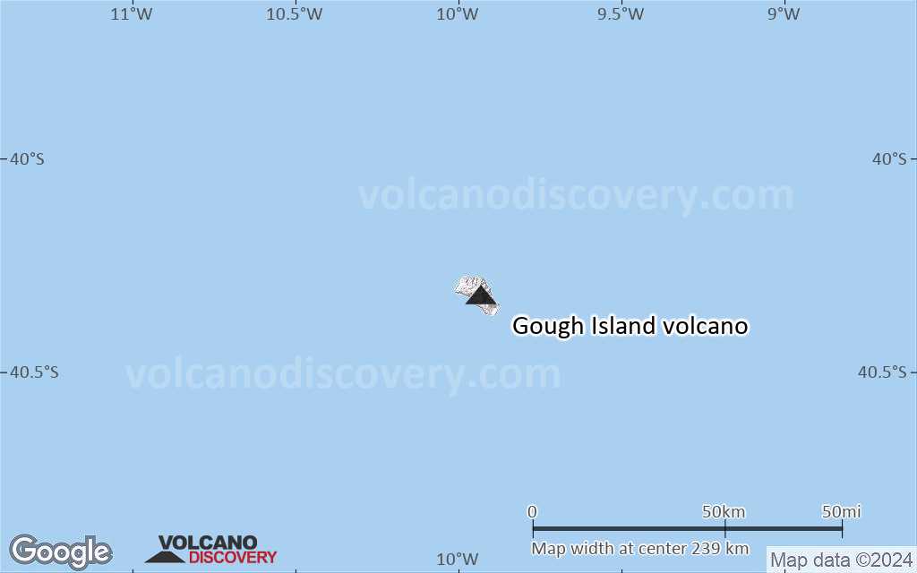
Gough Island, also known as Diego Alvarez, lies about 340 km SE of the Tristan da Cunha island group. The shield volcano was active from about 2.5 to 0.13 million years ago.---
Source: Smithsonian / GVP volcano information
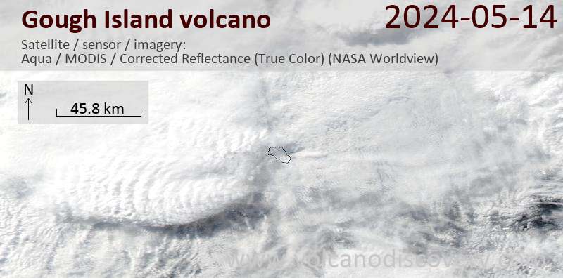
Latest satellite images
Gough Island Volcano Maps
Below is a selection of maps showing the location and surroundings of the volcano at various resolutions based on aerial-imagery / terrain maps. Feel free to use them for non-commercial purposes on your blog or website as long as you credit them with a link back to this page (click to copy it).

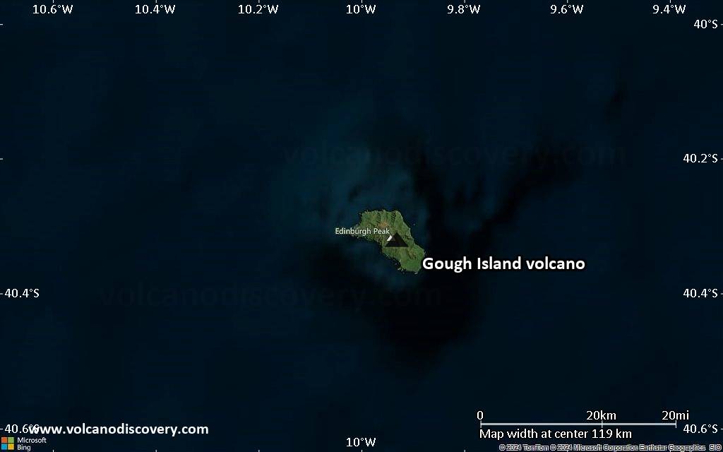
Satellite/aerial-type map of Gough Island volcano (world scale)
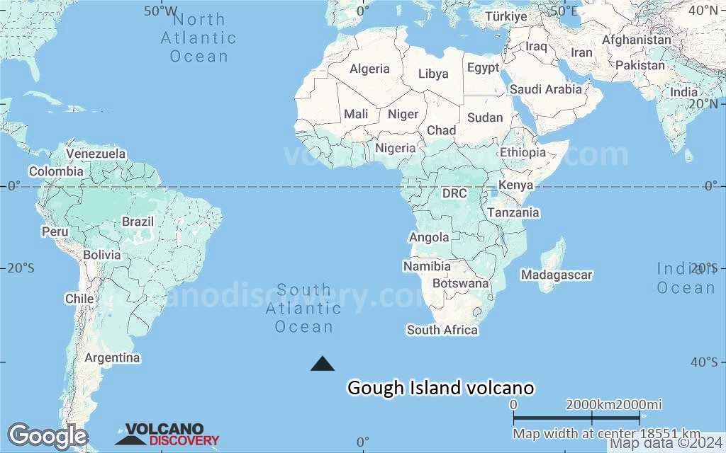
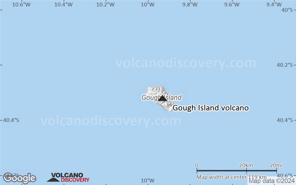
Terrain-type map of Gough Island volcano (world scale)
Satellite/aerial-type map of Gough Island volcano (region scale large)

Terrain-type map of Gough Island volcano (region scale large)

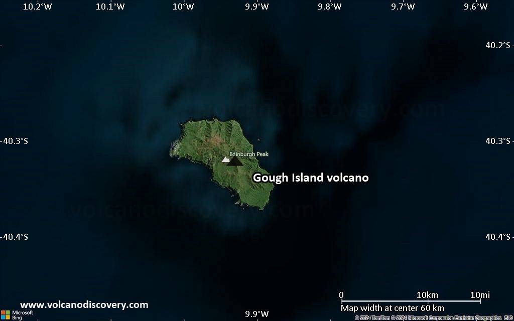
Satellite/aerial-type map of Gough Island volcano (region scale medium)

Terrain-type map of Gough Island volcano (region scale medium)

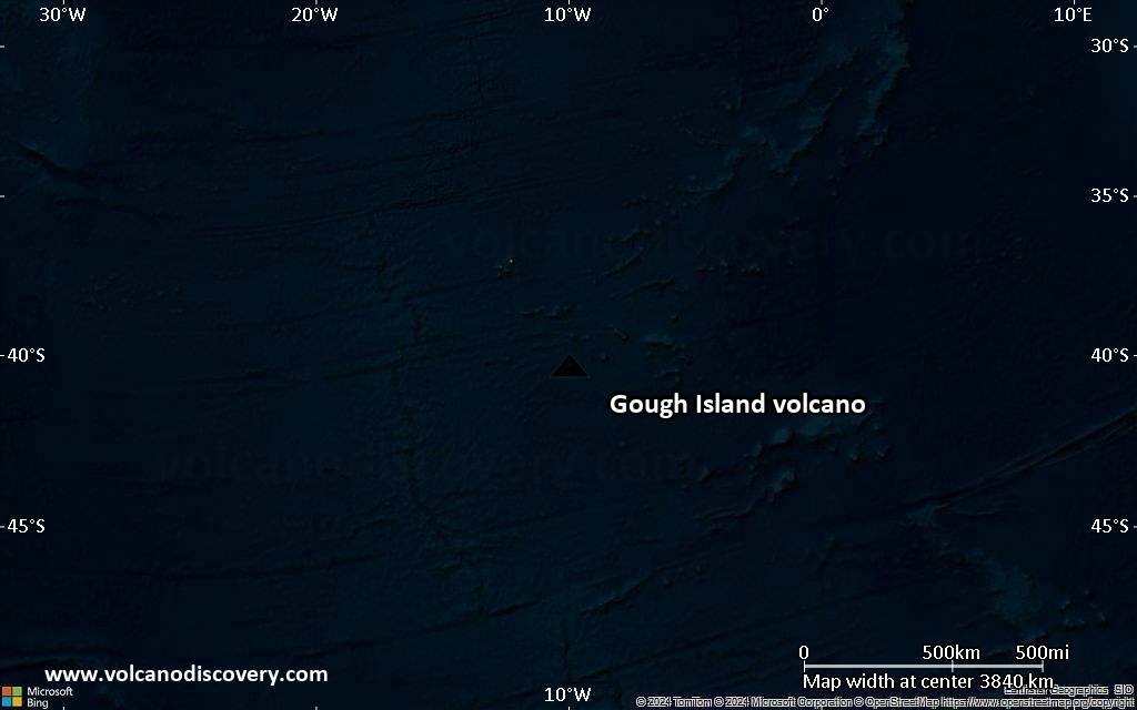
Satellite/aerial-type map of Gough Island volcano (region scale small)

Terrain-type map of Gough Island volcano (region scale small)
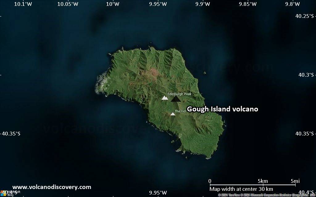
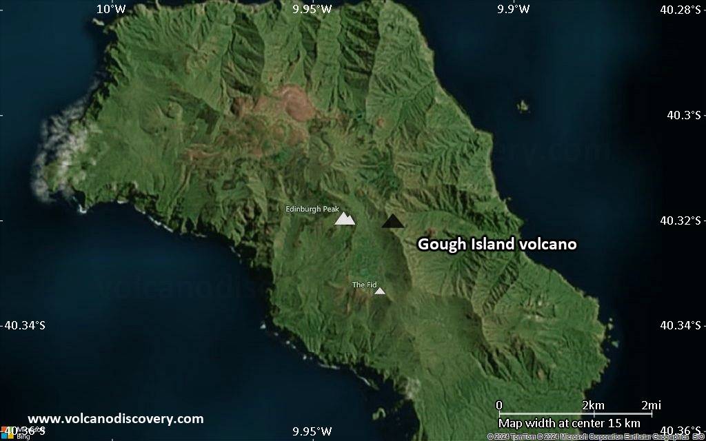
Satellite/aerial-type map of Gough Island volcano (local scale large)

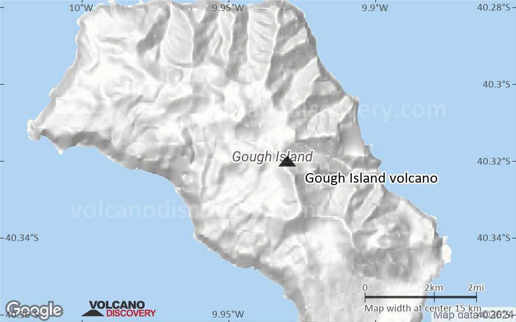
Terrain-type map of Gough Island volcano (local scale large)

Satellite/aerial-type map of Gough Island volcano (local scale medium)
Terrain-type map of Gough Island volcano (local scale medium)
Satellite/aerial-type map of Gough Island volcano (local scale small)
Terrain-type map of Gough Island volcano (local scale small)
Satellite/aerial-type map of Gough Island volcano (scale of 10s of km)

Terrain-type map of Gough Island volcano (scale of 10s of km)
Satellite/aerial-type map of Gough Island volcano (scale of 20-40 km)

Terrain-type map of Gough Island volcano (scale of 20-40 km)
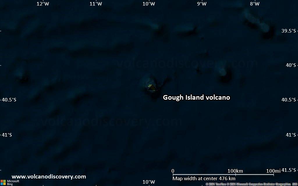
Satellite/aerial-type map of Gough Island volcano (scale of approx. 10-20 km)
Terrain-type map of Gough Island volcano (scale of approx. 10-20 km)

Satellite/aerial-type map of Gough Island volcano (scale of 5-10 km)

Satellite/aerial-type map of Gough Island volcano (scale of few kilometers)