Grímsnes Volcano
Updated: Jul 5, 2025 03:39 GMT -
Crater rows
Iceland, 64.03°N / -20.87°W 
Summit height: 214 m (702 ft)
Current status: normal or dormant (1 out of 5)
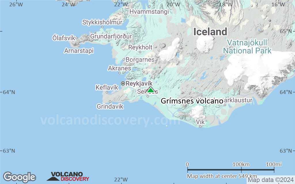
Grímsnes is a relatively small volcanic system located SE of Thingvallavatn lake east of an en echelon group of volcanic fields extending across the Reykjanes Peninsula.
[smaller] [larger]
Grímsnes volcano eruptions: none during historic times
Latest nearby earthquakes
| Date and Time | Mag / Depth | Distance / Location | |||
|---|---|---|---|---|---|
| Jul 5, 02:41 am (Reykjavik) | 0.4 1.6 km | 23 km (14 mi) to the SE | Info | ||
| Thursday, July 3, 2025 GMT (4 quakes) | |||||
| Jul 3, 09:33 pm (Universal Time) | 0.4 6.8 km | 24 km (15 mi) to the SE | Info | ||
| Jul 3, 09:32 pm (Universal Time) | 0.2 6.4 km | 24 km (15 mi) to the SE | Info | ||
| Jul 3, 08:31 pm (Reykjavik) | 0.1 5.9 km | 21 km (13 mi) to the NW | Info | ||
| Jul 3, 08:31 pm (Universal Time) | 0.2 5.5 km | 21 km (13 mi) to the NW | Info | ||
| Wednesday, July 2, 2025 GMT (1 quake) | |||||
| Jul 2, 07:43 am (Universal Time) | 0.4 6 km | 27 km (17 mi) to the NW | Info | ||
| Tuesday, July 1, 2025 GMT (1 quake) | |||||
| Jul 1, 05:50 pm (Reykjavik) | 0.8 7.1 km | 21 km (13 mi) to the NW | Info | ||
| Wednesday, June 25, 2025 GMT (3 quakes) | |||||
| Jun 25, 04:39 pm (Universal Time) | 1.2 6.6 km | 21 km (13 mi) to the NW | Info | ||
| Jun 25, 03:11 pm (Universal Time) | 1.3 3.1 km | 22 km (14 mi) to the W | Info | ||
Background
Grímsnes lava flows cover 54 sq km and were erupted from a group of 11 fissures that produced a series of NE-SW-trending crater rows. The eruptions of the basaltic Grímsnes lavas were restricted to a relatively short interval between about 6500 and 5500 years ago.Significant volcanic eruptions: Grímsnes volcano
No historic eruptions are known from Grímsnes volcano, but evidence from at least 11 eruptions during the past 10,000 years can be found in the geological record.
The table below lists all known eruptions (date in bold face) of Grímsnes volcano in historic times and during the past 10,000 years. Updates on the most recent volcanic activity of Grímsnes can be found on the news page of Grímsnes volcano.
| Date | Note | VEI | Deaths | Damage | |
|---|---|---|---|---|---|
| Kalfsholar | 2? | ||||
| Borgarholar | ? | ||||
| Raudholar | ? | ||||
| Kolgrafarholl | ? | ||||
| Alftarholl | 2? | ||||
| Borgaholl | ? | ||||
| Kerholar | 3 | ||||
| Selholl North | 2? | ||||
| Selholl South | ? | ||||
| ? | |||||
| Seydisholar | 3 | ||||
Remark:
Our list of volcanic eruptions closely follows the database of eruptions of the Smithsonian's Global Volcanism Project (GVP), the internationally most recognized data source for volcanic eruptions, but also includes significant eruptive episodes or related volcano events. "Volcanic eruptions" are usually to be understood as sequences of individual eruptive episodes that can follow each other, or even overlap (if several vents are involved), and can last many years, decades or even longer. For example, the current activity of Stromboli volcano is understood as a single eruption that has been ongoing since 1934.
Sources: NOAA National Centers for Environmental Information (NCEI), Global Significant Volcanic Eruptions Database. doi:10.7289/V5TD9V7K | Global Volcanism Project / Smithsonian Institution
Grímsnes Volcano FAQ
+When was the last eruption of Grímsnes volcano?
The last confirmed eruption of Grímsnes occurred in 3500 BC.
+When was the largest eruption of Grímsnes volcano?
The largest eruption known from the younger geological history of Grímsnes volcano occurred around 4270 BC. It only has a VEI (Volcanic Explosivity Index) of , likely because it was a mainly effusive eruption generating lava flows but very little ash.
Latest satellite images


Grímsnes Volcano Maps
Below is a selection of maps showing the location and surroundings of the volcano at various resolutions based on aerial-imagery / terrain maps. Feel free to use them for non-commercial purposes on your blog or website as long as you credit them with a link back to this page (click to copy it).
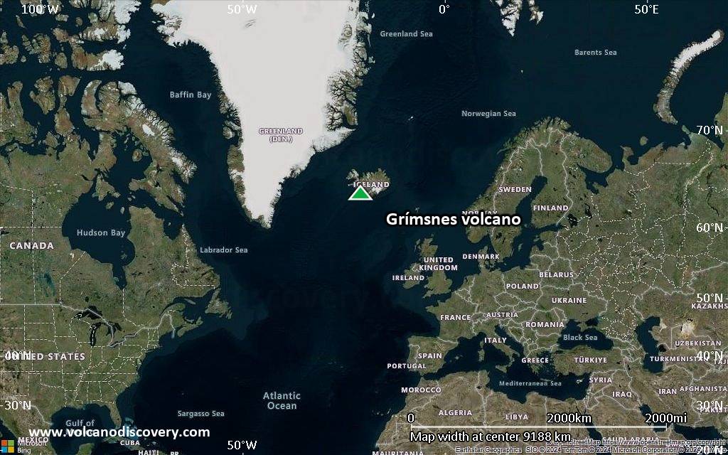
Satellite/aerial-type map of Grímsnes volcano (world scale)
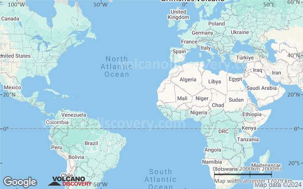
Terrain-type map of Grímsnes volcano (world scale)
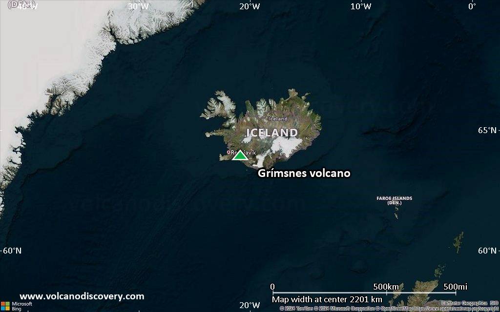
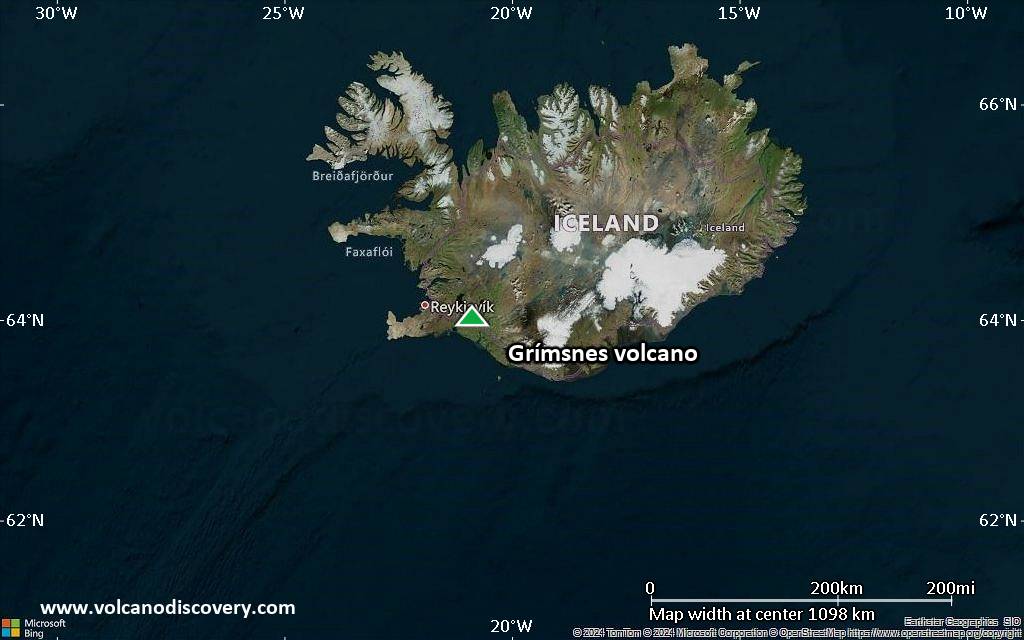
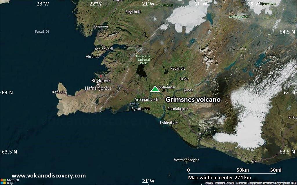
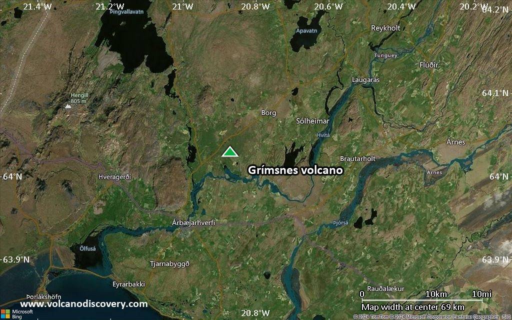
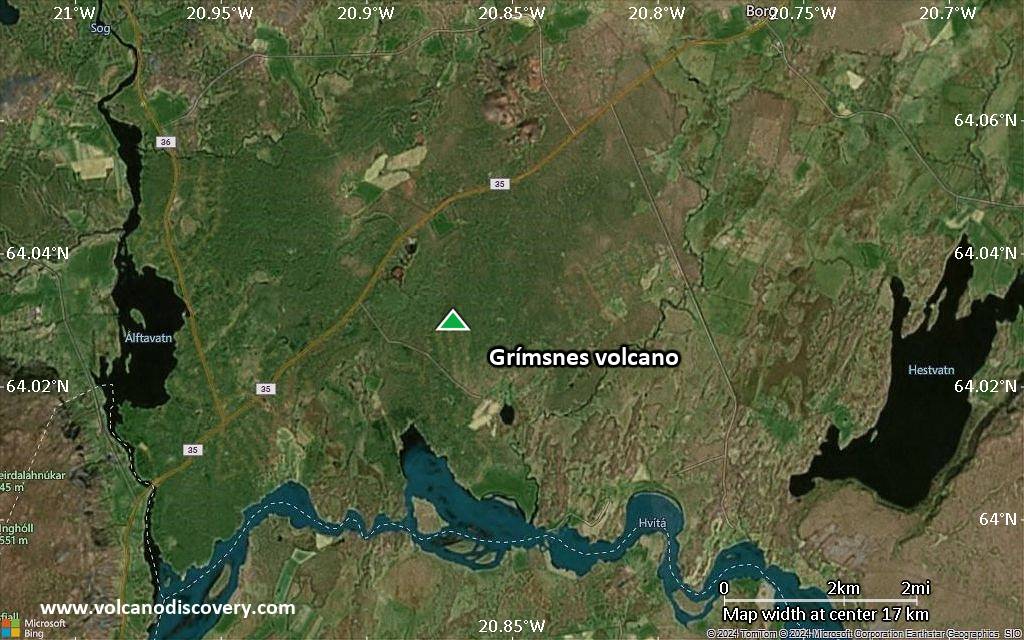
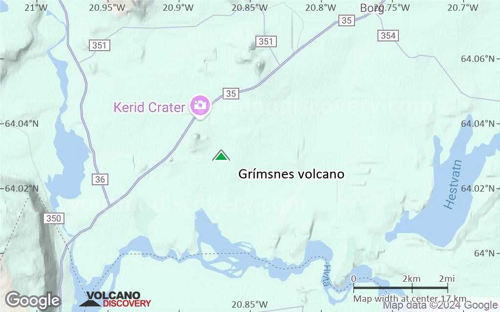
Satellite/aerial-type map of Grímsnes volcano (region scale large)
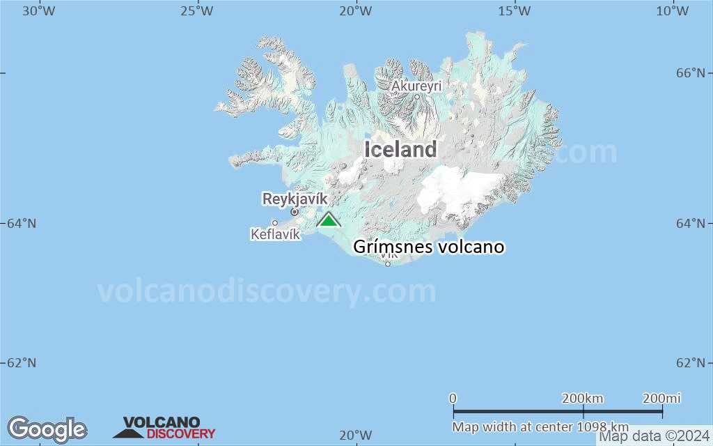
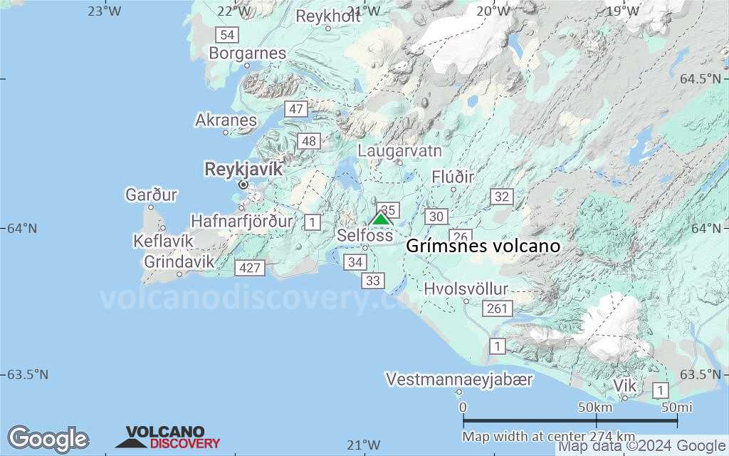
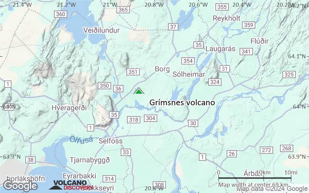
Terrain-type map of Grímsnes volcano (region scale large)
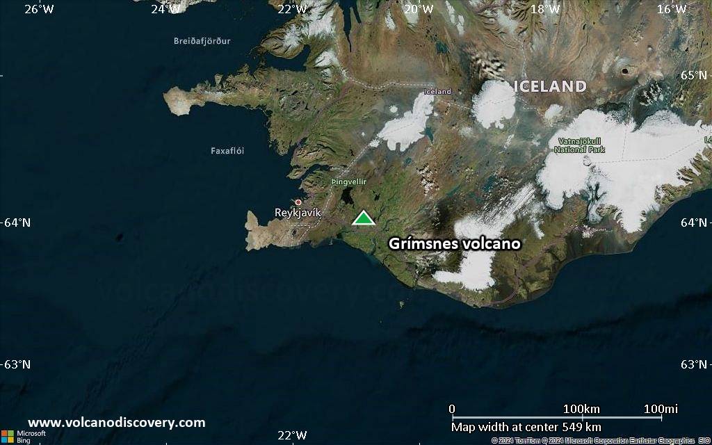
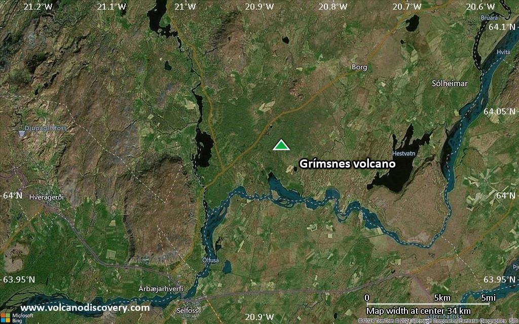
Satellite/aerial-type map of Grímsnes volcano (region scale medium)
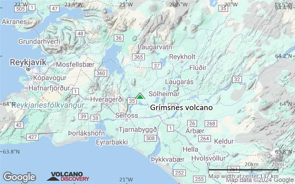
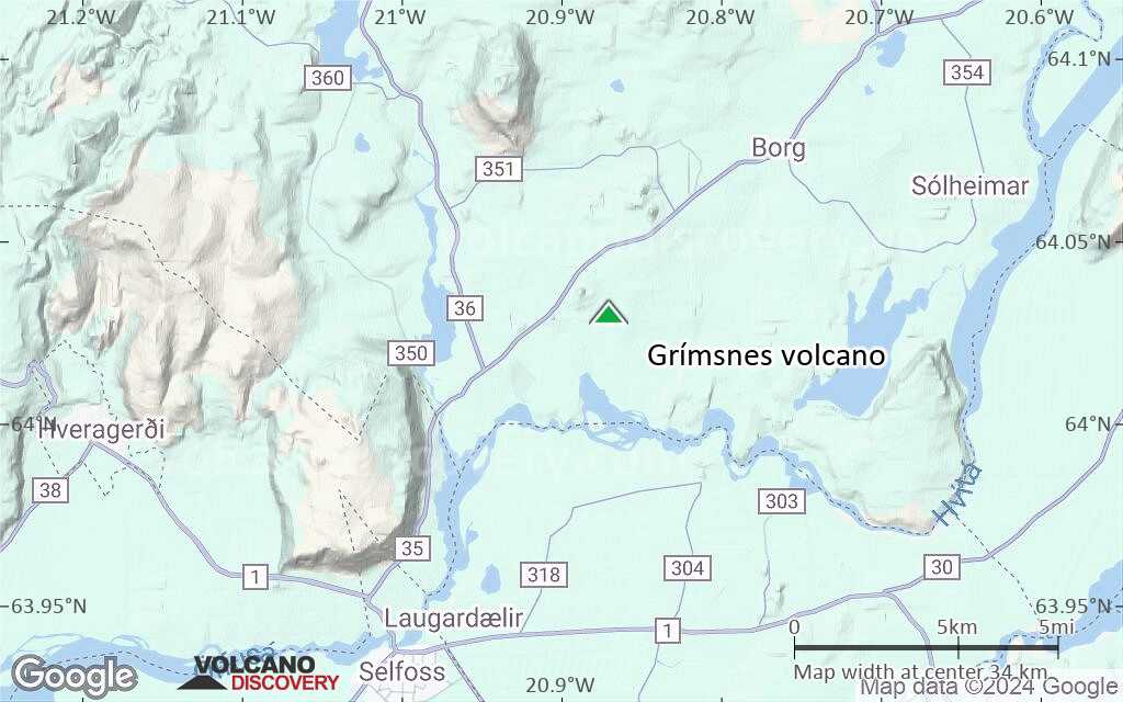
Terrain-type map of Grímsnes volcano (region scale medium)
Satellite/aerial-type map of Grímsnes volcano (region scale small)
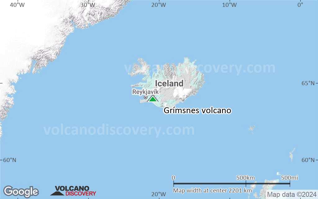
Terrain-type map of Grímsnes volcano (region scale small)
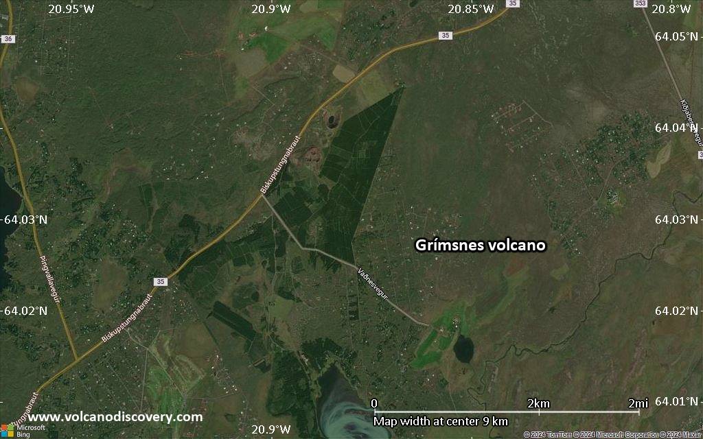
Satellite/aerial-type map of Grímsnes volcano (local scale large)
Terrain-type map of Grímsnes volcano (local scale large)

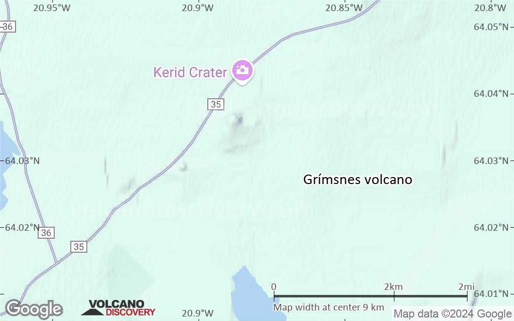
Satellite/aerial-type map of Grímsnes volcano (local scale medium)
Terrain-type map of Grímsnes volcano (local scale medium)
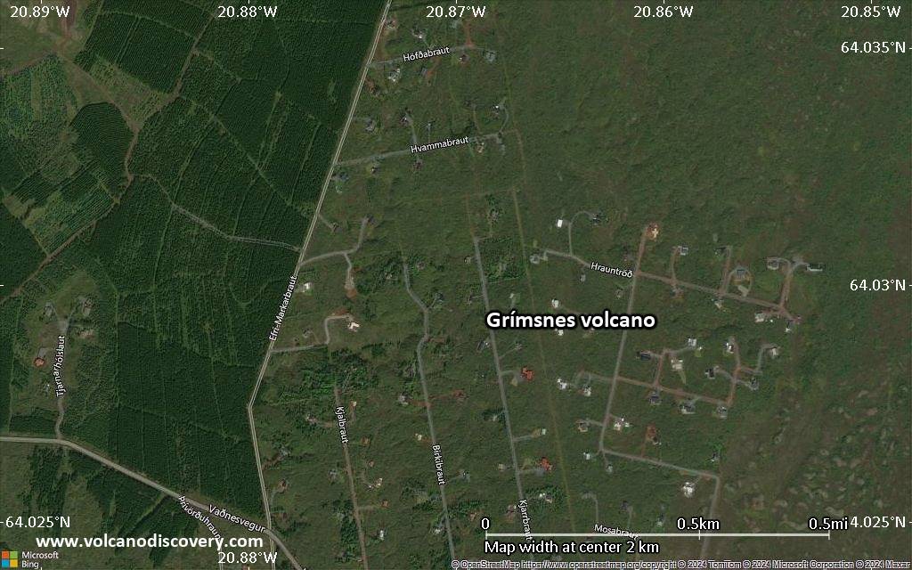
Satellite/aerial-type map of Grímsnes volcano (local scale small)
Terrain-type map of Grímsnes volcano (local scale small)
Satellite/aerial-type map of Grímsnes volcano (scale of 10s of km)
Terrain-type map of Grímsnes volcano (scale of 10s of km)
Satellite/aerial-type map of Grímsnes volcano (scale of 20-40 km)
Terrain-type map of Grímsnes volcano (scale of 20-40 km)
Satellite/aerial-type map of Grímsnes volcano (scale of approx. 10-20 km)
Terrain-type map of Grímsnes volcano (scale of approx. 10-20 km)

Satellite/aerial-type map of Grímsnes volcano (scale of 5-10 km)
Satellite/aerial-type map of Grímsnes volcano (scale of few kilometers)