| RSS | EN | DE | EL | ES | FR | IT | RU

Guadaloupe Volcano

Updated: May 21, 2025 10:50 GMT -
shield volcano
Isla Guadalupe, Baja California, Mexico, 29.07°N / -118.28°W
Summit height: 1100 m / 3,609 ft
Current status: normal or dormant (1 out of 5)

Guadalupe volcano is a mostly submerged volcano that forms the island of the same name 250 km west off the coast of Baja California. The volcano was built on the old axis of an ancient spreading center and consists of 2 overlapping shields, the southern of which is the older.
The younger northern volcano could still be active and has probably erupted during the Holocene.

[smaller] [larger]
Typical eruption style: effusive
Guadaloupe volcano eruptions: unknown, less than 10,000 years ago

Latest nearby earthquakes

Date and TimeMag / DepthDistance / Location

Background

Elongated Guadalupe Island lies atop a fossil oceanic ridge crest and rises above the Pacific Ocean surface to an elevation of 1100 m.
Chains of cinder cones are located along fissures oriented both NW-SE and NE-SW and lava flows erupted from them overlie both shield volcanoes. The longest of these fissures cuts across the caldera of the northern volcano and extends beyond it to the SE.
Other pyroclastic cones were constructed along an arcuate fissure near the southern caldera rim. The shield volcanoes and products of the fissure eruptions form a complete alkali basaltic-to-trachytic series reflecting a transition from submarine to subaerial volcanism.
Trachytic lava domes are found within the caldera of the northern shield volcano, and together with very fresh-looking alkali basalt lava flows, form the youngest volcanic rocks on the island.
(Source: Smithsonian / GVP volcano information)

Latest satellite images

Guadaloupe satellite image sat1Guadaloupe satellite image sat2

Guadaloupe Volcano Maps

Below is a selection of maps showing the location and surroundings of the volcano at various resolutions based on aerial-imagery / terrain maps. Feel free to use them for non-commercial purposes on your blog or website as long as you credit them with a link back to this page (click to copy it).
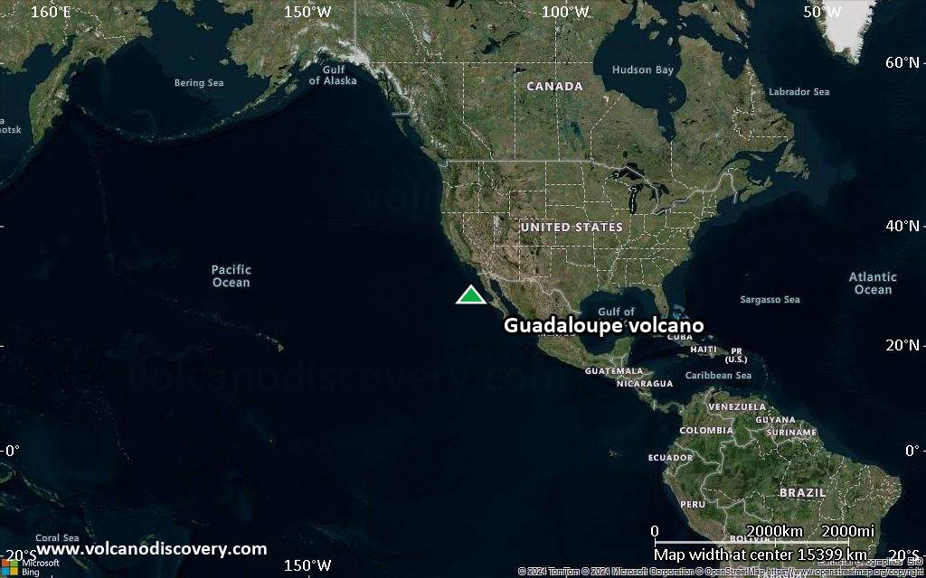
Satellite/aerial-type map of Guadaloupe volcano (world scale)
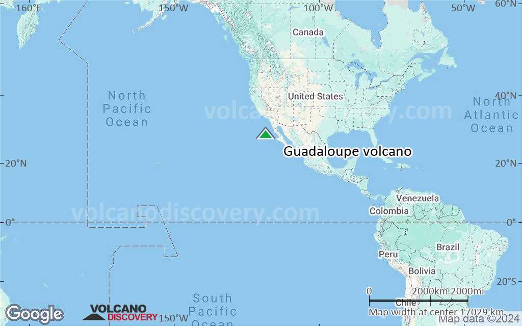
Terrain-type map of Guadaloupe volcano (world scale)
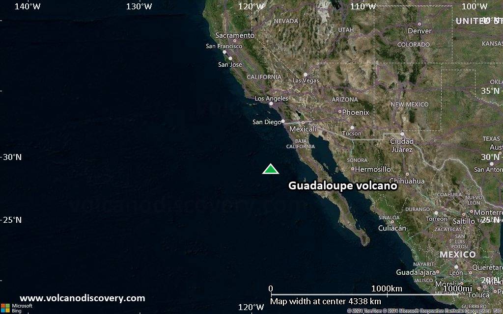
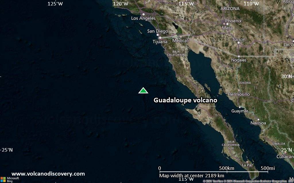
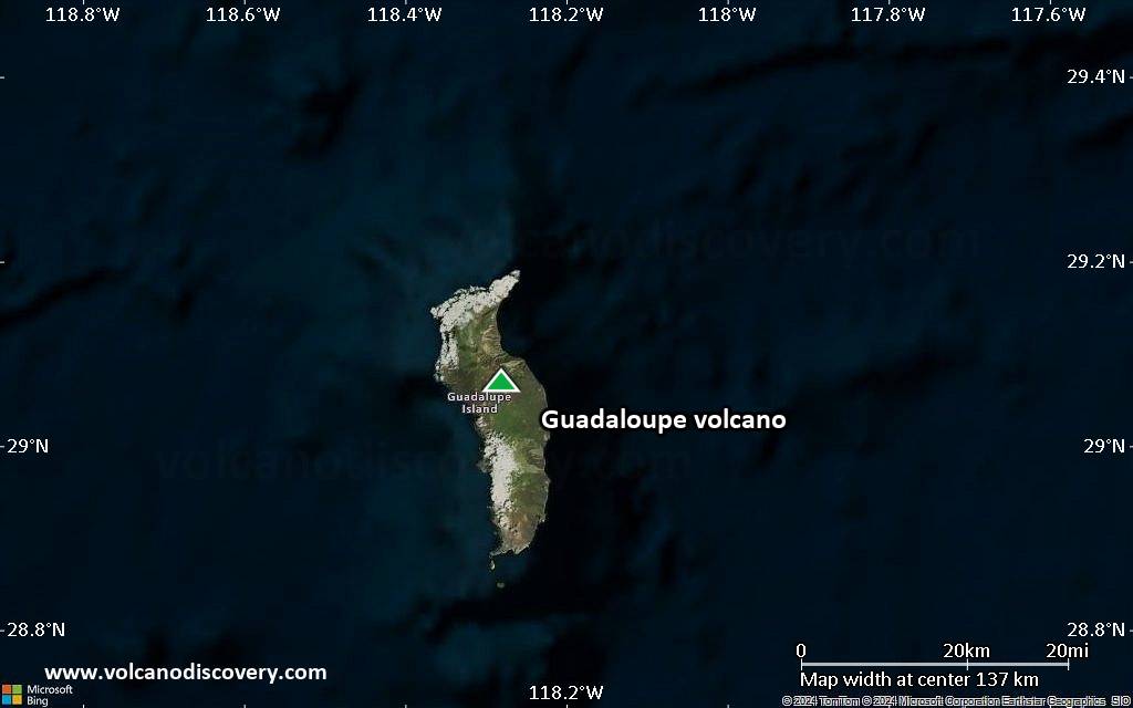
Satellite/aerial-type map of Guadaloupe volcano (region scale large)
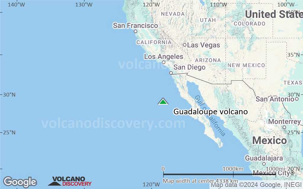
Terrain-type map of Guadaloupe volcano (region scale large)
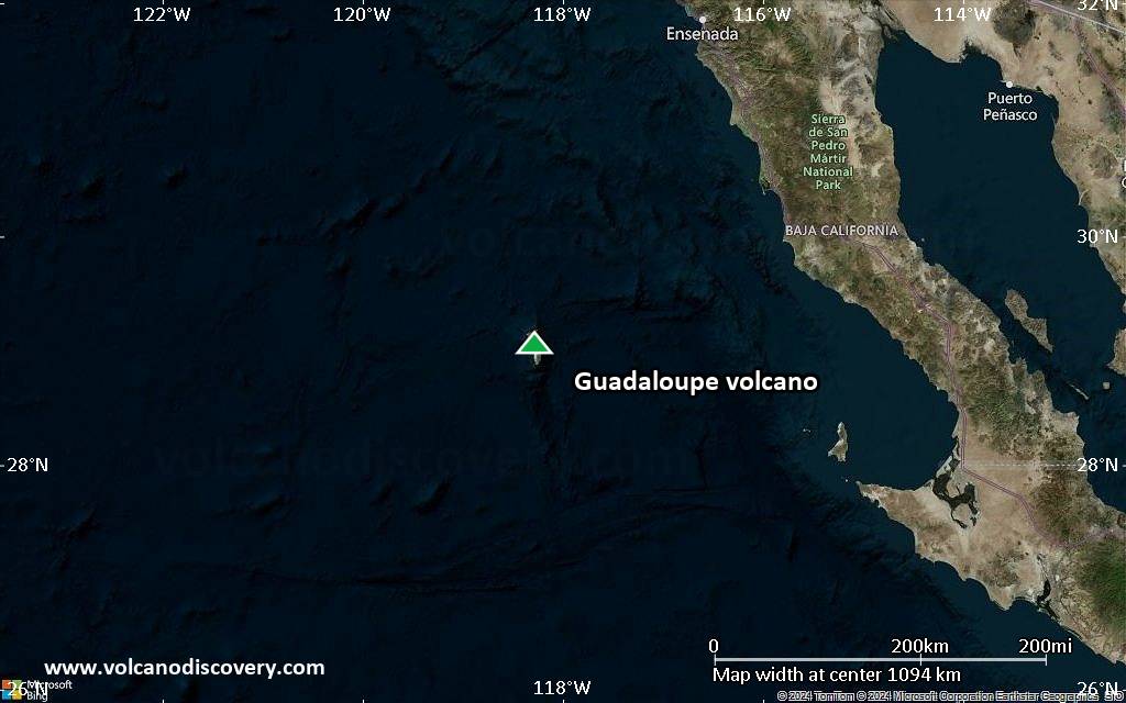
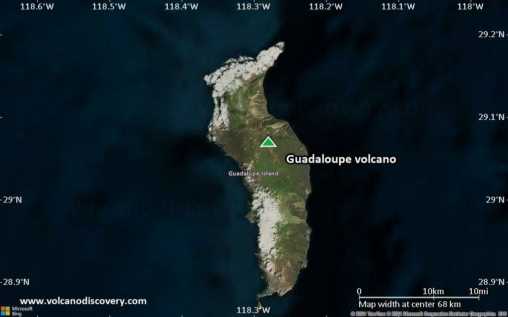
Satellite/aerial-type map of Guadaloupe volcano (region scale medium)
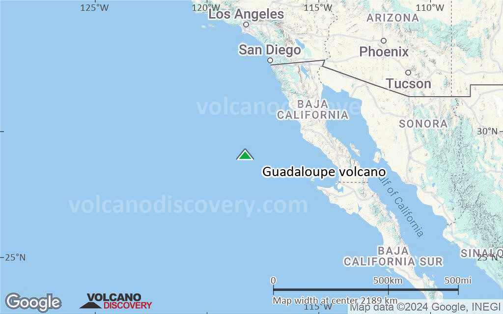
Terrain-type map of Guadaloupe volcano (region scale medium)
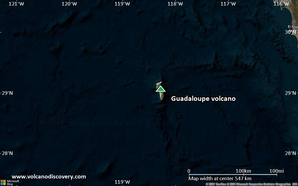
Satellite/aerial-type map of Guadaloupe volcano (region scale small)
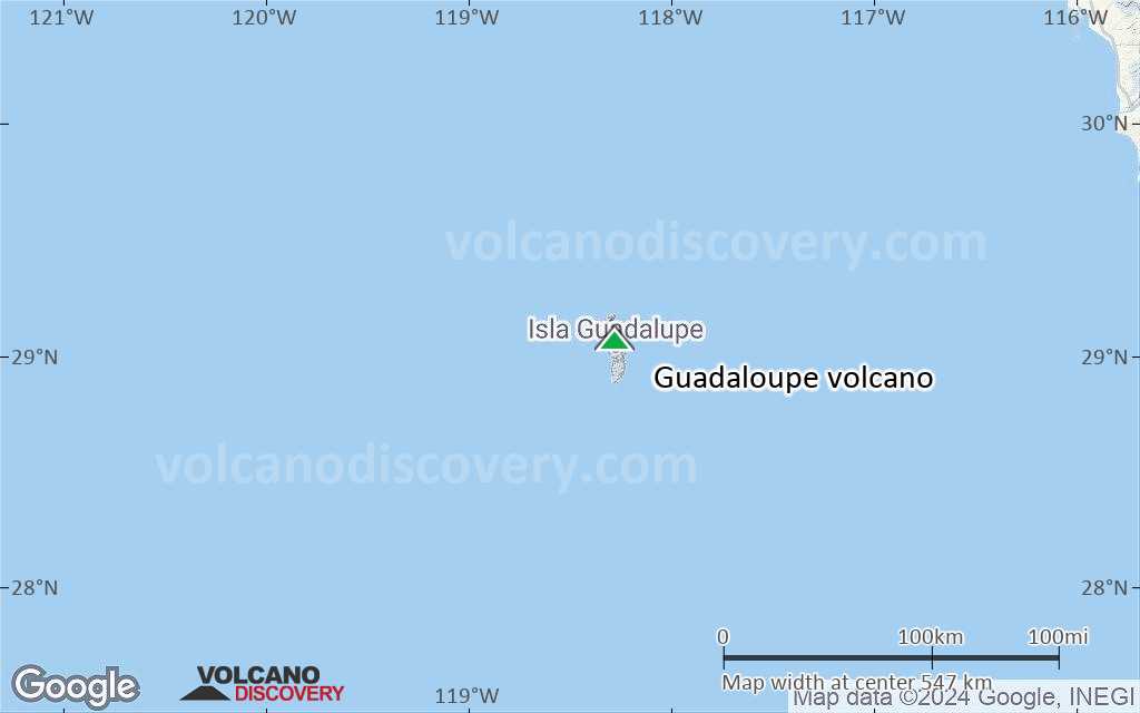
Terrain-type map of Guadaloupe volcano (region scale small)
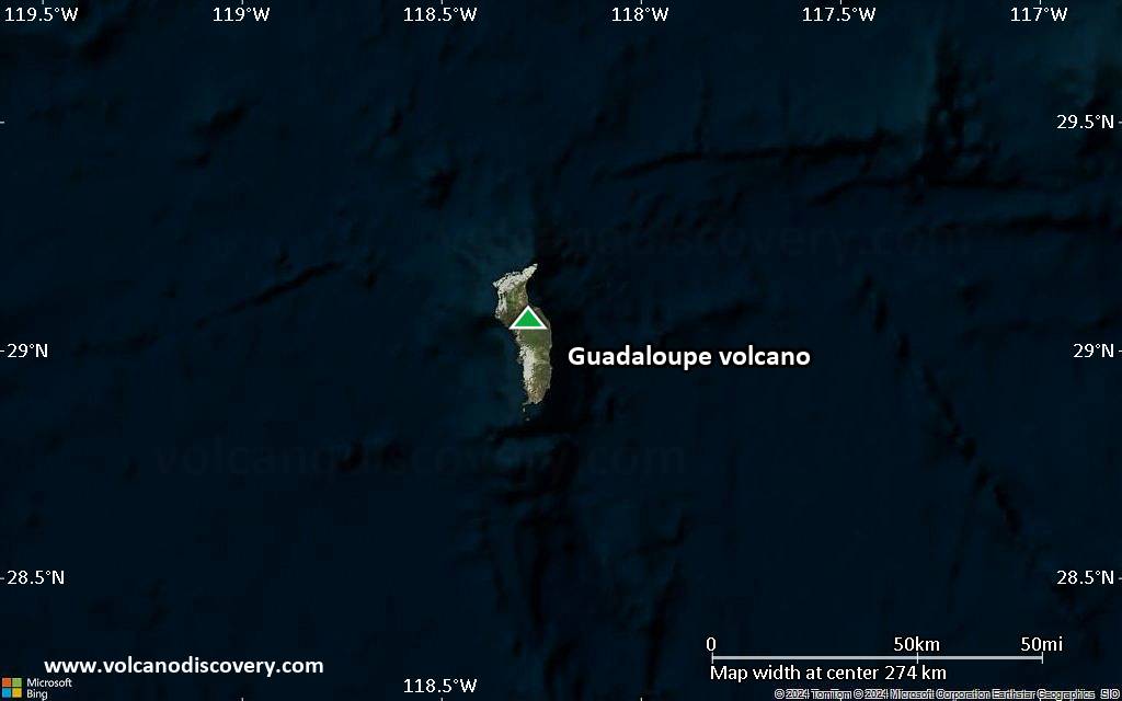
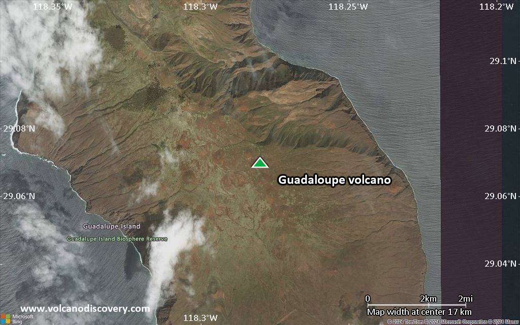
Satellite/aerial-type map of Guadaloupe volcano (local scale large)
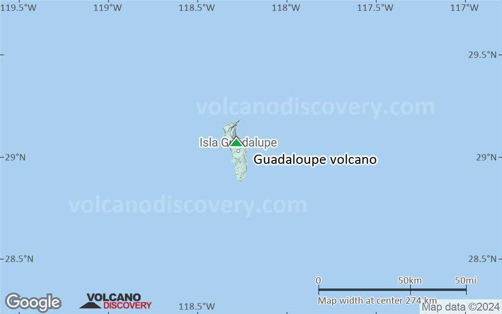
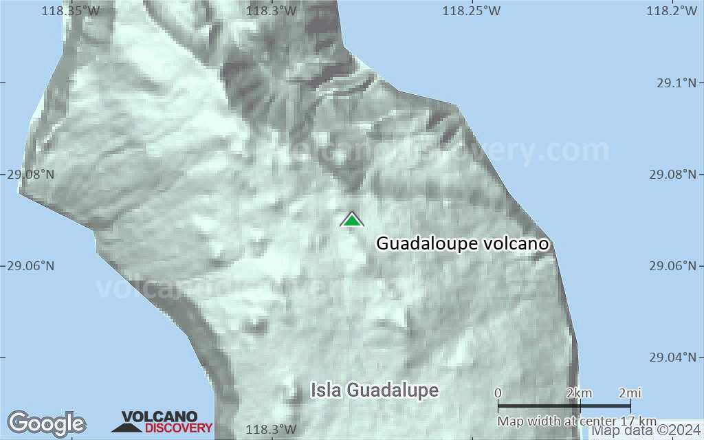
Terrain-type map of Guadaloupe volcano (local scale large)
Satellite/aerial-type map of Guadaloupe volcano (local scale medium)
Terrain-type map of Guadaloupe volcano (local scale medium)
Satellite/aerial-type map of Guadaloupe volcano (local scale small)
Terrain-type map of Guadaloupe volcano (local scale small)
Satellite/aerial-type map of Guadaloupe volcano (scale of 10s of km)
Terrain-type map of Guadaloupe volcano (scale of 10s of km)
Satellite/aerial-type map of Guadaloupe volcano (scale of 20-40 km)
Terrain-type map of Guadaloupe volcano (scale of 20-40 km)
Satellite/aerial-type map of Guadaloupe volcano (scale of approx. 10-20 km)
Terrain-type map of Guadaloupe volcano (scale of approx. 10-20 km)
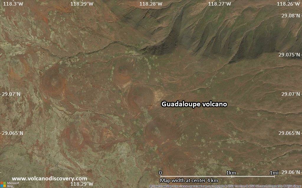
Satellite/aerial-type map of Guadaloupe volcano (scale of 5-10 km)
Satellite/aerial-type map of Guadaloupe volcano (scale of few kilometers)
Volcanoes & Earthquakes - new app for Android
Guaranteed tours
9-25 Jun 2025: Volcanoes and Spices - Sulawesi/Halmahera (Indonesia)
7-22 Jul 2025: From Krakatau to Bali - Java (Indonesia)
7-23 Jul 2025: Volcanoes and Spices - Sulawesi/Halmahera (Indonesia)
1-17 Aug 2025: Volcanoes and Spices - Sulawesi/Halmahera (Indonesia)
1-14 Oct 2025: Desert, salt and volcanoes - Danakil desert (Ethiopia)
4-12 Oct 2025: From Stromboli to Etna - Sicily and Eolian Islands (Italy)
6-21 Oct 2025: From Krakatau to Bali - Java (Indonesia)
3-19 Nov 2025: Volcanoes and Spices - Sulawesi/Halmahera (Indonesia)
= spaces available   = guaranteed   = few spaces left   = booked out

No news in this list.

On this page:

Try our free app!
Volcanoes & Earthquakes - new app for Android
Android | iOS version

More on VolcanoDiscovery

Why is there advertising on this site?

Support us - Help us upgrade our services!

We truly love working to bring you the latest volcano and earthquake data from around the world. Maintaining our website and our free apps does require, however, considerable time and resources.
We need financing to increase hard- and software capacity as well as support our editor team. We're aiming to achieve uninterrupted service wherever an earthquake or volcano eruption unfolds, and your donations can make it happen! Every donation will be highly appreciated. If you find the information useful and would like to support our team in integrating further features, write great content, and in upgrading our soft- and hardware, please make a donation (PayPal).

Planned features:Thanks to your past donations, these features have been added recently:
Download and Upgrade the Volcanoes & Earthquakes app to get one of the fastest seismic and volcano alerts online:
Android | IOS
Thank you!
Sources: VolcanoDiscovery / VolcanoAdventures and other sources as noted.
Use of material: Most text and images on our websites are owned by us. Re-use is generally not permitted without authorization. Contact us for licensing rights.
Volcanoes & Earthquakes
VolcanoDiscovery Home
Volcanoes | Earthquakes | Photos | Volcano News | | Shop | App
Adventure & Study Travel
Tours to Volcanoes and Volcanic Areas: walking tours, photo tours, study tours
Tours & Dates | FAQ | About us
Get our newsletter!
Company info
Contact | Legal info | Terms & conditions
Follow us
Follow us on facebook Follow us on Instagram Follow us on Bluesky Follow us on Twitter Visit our Youtube channel
EN | DE | EL | ES | FR | IT | RU
VolcanoDiscovery GmbH, Germany, Reg. nr.: HRB 103744, EU Tax Id: DE 297 465 123 owned and created by
Dr. Tom Pfeiffer, volcanologist, volcano photographer, tour organizer member of
IAVCEI
IAVCEI
Vulkanologische Gesellschaft
Volcanological Society
Ecotourism Greece
Ecotourism Greece
RUV insurance
Insured by R+V
VolcanoDiscovery © 2004- All Rights Reserved | Privacy - Cookie Settings