


Hainan Volcano
Updated: Oct 7, 2025 23:23 GMT -
volcanic field, pyroclastic cones
Hainan Island, SE China, 19.7°N / 110.1°E 
Summit height: 196 m / 643 ft
Current status: normal or dormant (1 out of 5)
The Hainan volcanic field (also known as Khaynanj or Hainan Dao) comprises vast geologically young lava flows and numerous cinder cones on the northern part of Hainan Island in SE China.
Small fissure eruptions were recorded in 1883 from the Lingao cone and in 1933 from the Nansheling ridge.
[smaller] [larger]
Hainan volcano eruptions: 1933, 1883
Latest nearby earthquakes
| Date and Time | Mag / Depth | Distance / Location | |||
|---|---|---|---|---|---|
Background
The Hainan volcanic field contains Quaternary lava flows that extend over about 4100 km2 on northern Hainan Island (also known as Qiong). This field, along with the Leizhou Bandao volcanic field across the Qiongzhou strait to the north on the Leizhou (Liuchow) Peninsula, forms the larger Leiqiong volcanic field (also called the Qionglei volcano group).It contains a group of 58 Pleistocene-Holocene tholeiitic cones that are part of the Qionglei volcano group, also known as the Leiqiong volcanic field. Hainan volcanic field covers about 4100 sq km of the northern part of Hainan Island (also known as Qiong), across the Qiongzhou strait south of the Leizhou (Liuchow) Peninsula. Hainan volcano field is of Pleistocene-Holocene age, but historical eruptions were reported in the Lingao and Chengmai areas in the 19th and 20th centuries.
Leihuling and Maanshan, two of the best preserved volcanic cones, are oriented along an E-W fracture and are part of a cluster of about 30 cones in the Shishan and Yongzing regions.
Source: Smithsonian / GVP volcano information
Significant volcanic eruptions: Hainan volcano
In the past 10,000 years, Hainan has had at least 2 confirmed eruptions, all documented by historical records or observations.
The table below lists all known eruptions (date in bold face) of Hainan volcano in historic times and during the past 10,000 years. Updates on the most recent volcanic activity of Hainan can be found on the news page of Hainan volcano.
| Date | Note | VEI | Deaths | Damage | |
|---|---|---|---|---|---|
| Nansheling ridge Historical obs./docs. | ? | ||||
| Lingao Historical obs./docs. | ? | ||||
Remark:
Our list of volcanic eruptions closely follows the database of eruptions of the Smithsonian's Global Volcanism Project (GVP), the internationally most recognized data source for volcanic eruptions, but also includes significant eruptive episodes or related volcano events. "Volcanic eruptions" are usually to be understood as sequences of individual eruptive episodes that can follow each other, or even overlap (if several vents are involved), and can last many years, decades or even longer. For example, the current activity of Stromboli volcano is understood as a single eruption that has been ongoing since 1934.
Sources: NOAA National Centers for Environmental Information (NCEI), Global Significant Volcanic Eruptions Database. doi:10.7289/V5TD9V7K | Global Volcanism Project / Smithsonian Institution
Hainan Volcano FAQ
+When was the last eruption of Hainan volcano?
The last confirmed eruption of Hainan occurred in 1933.
+How often does Hainan volcano erupt?
Since 1883, Hainan volcano has had at least 2 historically documented eruptions. This means that it erupts on average every 71 years.
+How active is Hainan volcano at present?
Hainan volcano is occasionally active: Since 1900, it has had one eruption, which occurred in 1933.
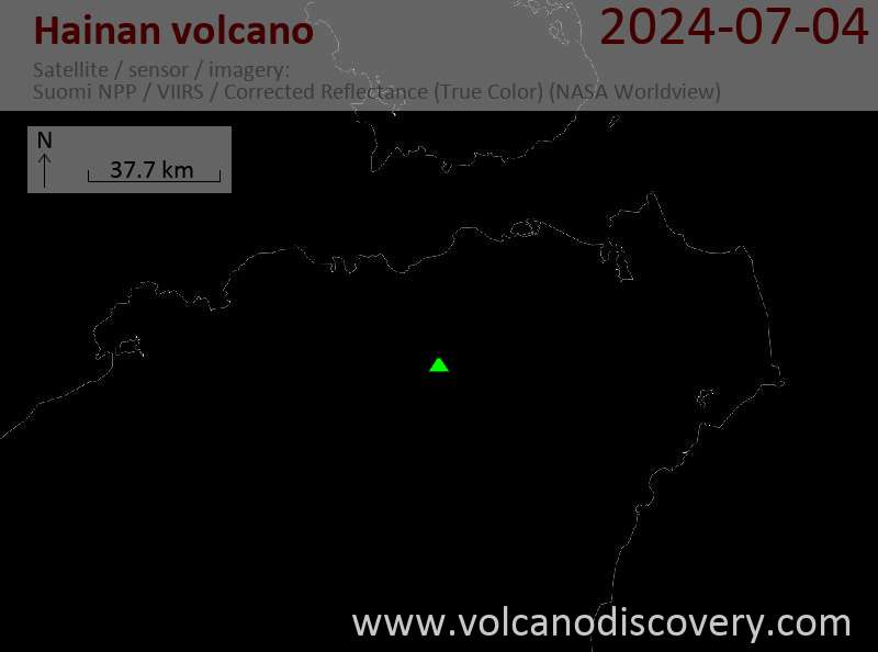
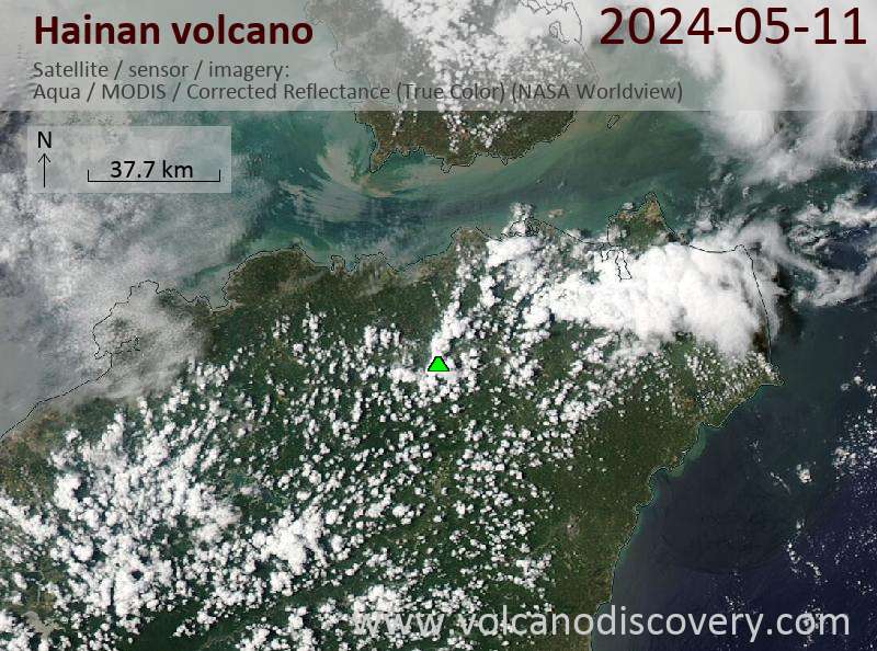
Latest satellite images
Hainan Volcano Maps
Below is a selection of maps showing the location and surroundings of the volcano at various resolutions based on aerial-imagery / terrain maps. Feel free to use them for non-commercial purposes on your blog or website as long as you credit them with a link back to this page (click to copy it).

Satellite/aerial-type map of Hainan volcano (world scale)

Terrain-type map of Hainan volcano (world scale)

Satellite/aerial-type map of Hainan volcano (region scale large)

Terrain-type map of Hainan volcano (region scale large)

Satellite/aerial-type map of Hainan volcano (region scale medium)

Terrain-type map of Hainan volcano (region scale medium)

Satellite/aerial-type map of Hainan volcano (region scale small)

Terrain-type map of Hainan volcano (region scale small)

Satellite/aerial-type map of Hainan volcano (local scale large)

Terrain-type map of Hainan volcano (local scale large)

Satellite/aerial-type map of Hainan volcano (local scale medium)

Terrain-type map of Hainan volcano (local scale medium)

Satellite/aerial-type map of Hainan volcano (local scale small)

Terrain-type map of Hainan volcano (local scale small)

Satellite/aerial-type map of Hainan volcano (scale of 10s of km)

Terrain-type map of Hainan volcano (scale of 10s of km)

Satellite/aerial-type map of Hainan volcano (scale of 20-40 km)

Terrain-type map of Hainan volcano (scale of 20-40 km)

Satellite/aerial-type map of Hainan volcano (scale of approx. 10-20 km)

Terrain-type map of Hainan volcano (scale of approx. 10-20 km)

Satellite/aerial-type map of Hainan volcano (scale of 5-10 km)

Satellite/aerial-type map of Hainan volcano (scale of few kilometers)


